Get Lost Mountaineering
You are here: Scotland » 01 South of Oban to Stirling and Fife » Loch Earn to Stirling
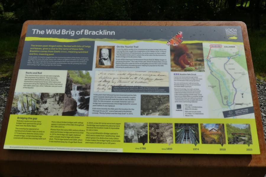
Bracklinn Falls (above Callander)
Bracklinn Falls (above Callander)
Start/Finish
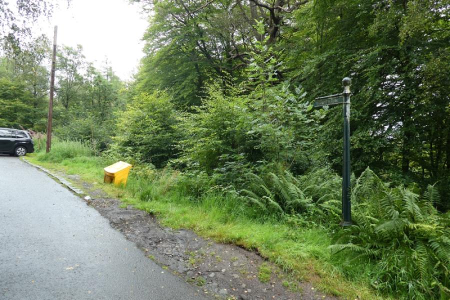
The Bracklinn Falls car park which is about 1.5 km from the falls and is reached by a road from the main street of Callander. If driving south, go past most of the shops and look for a left turn signed for the Bracklinn Falls as well as the Golf Club. If driving north, look for a right turn before the shops. The road climbs fairly steeply but is well signed. The final section to the car park is very narrow indeed with few passing places. The car park is free but soon fills up. The only alternative is to retrace and use the car park for Callander Crags lower down the road which is often less busy.
Distance/Time
6 km About 2 hours
Peaks
None OS sheet 57: Stirling and the Trossachs
Introduction
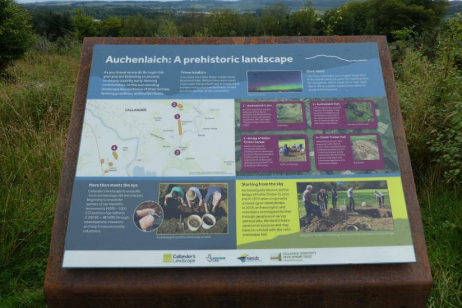
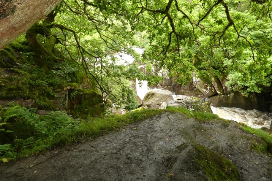
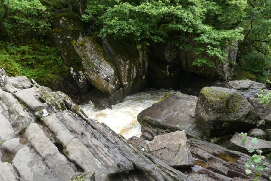
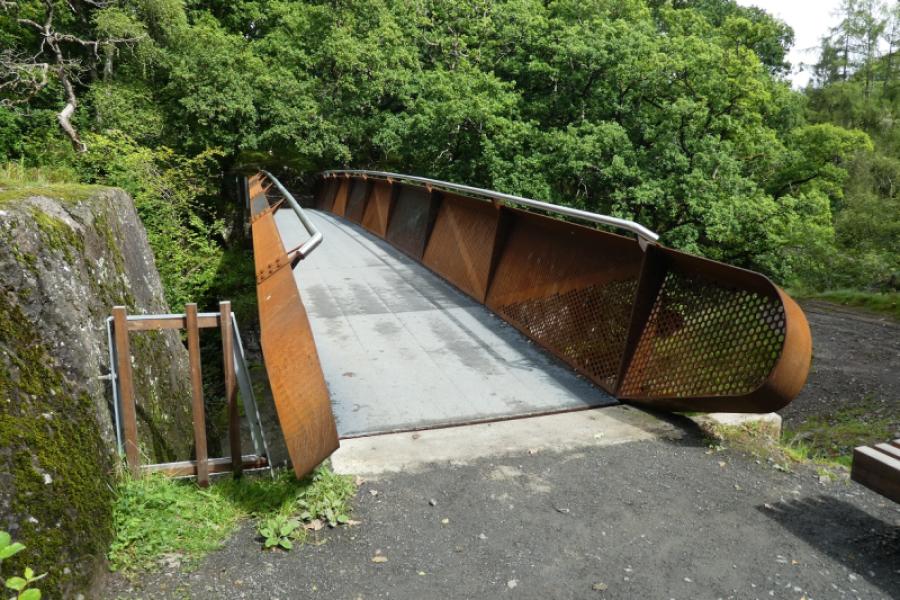
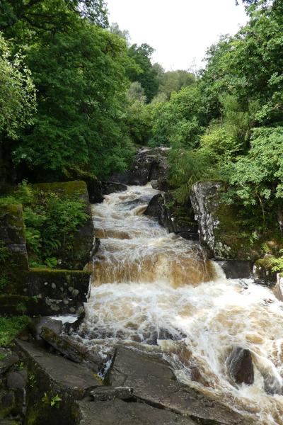
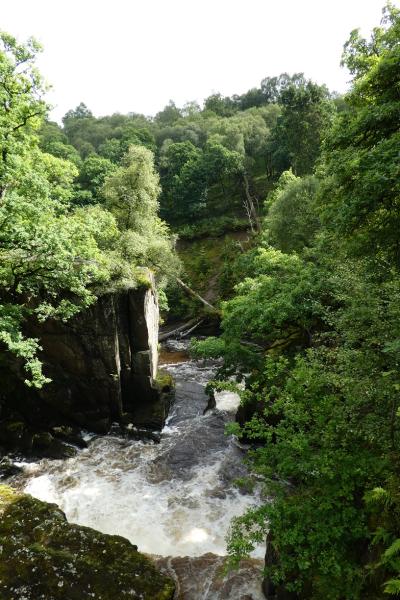
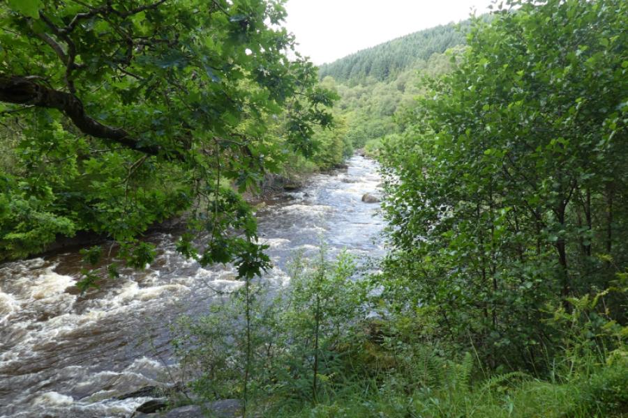
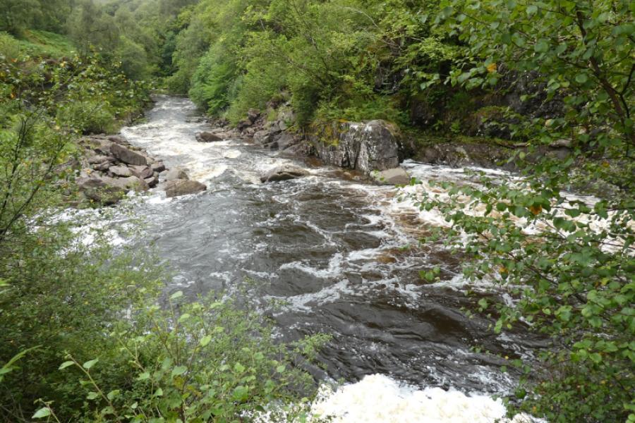
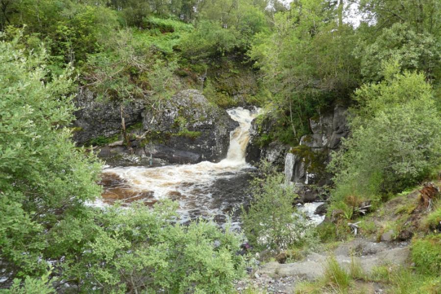
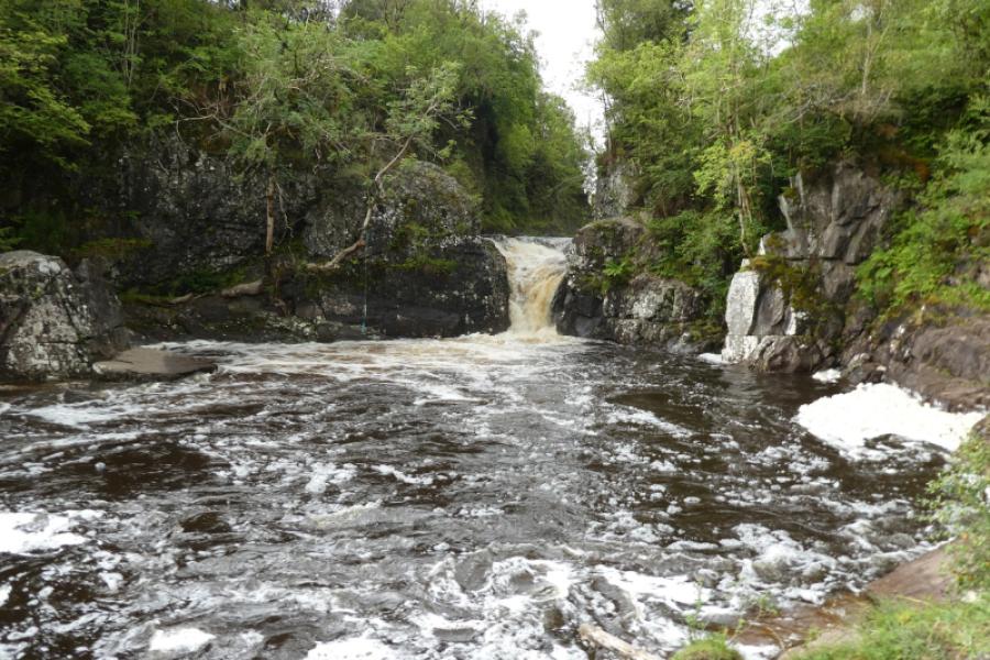
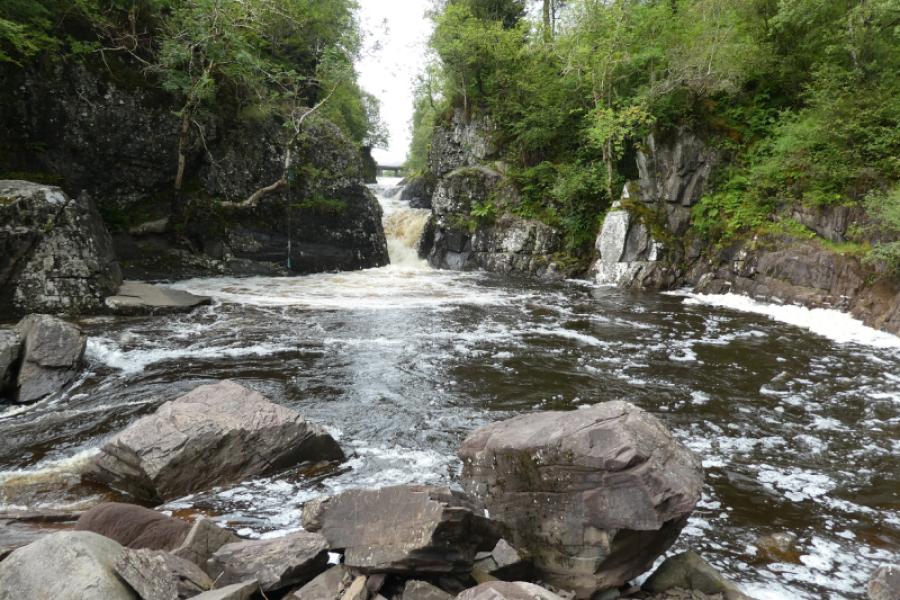
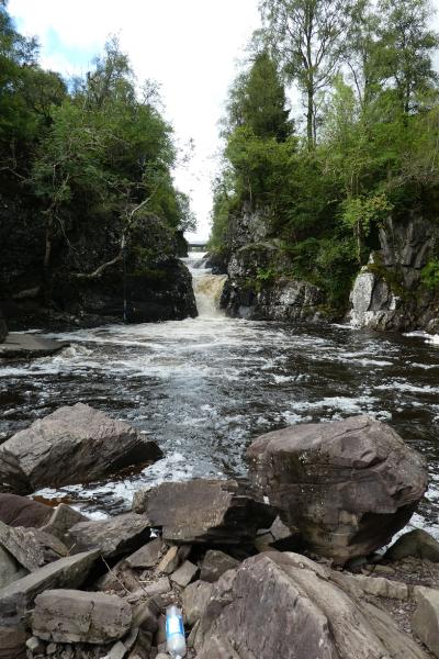
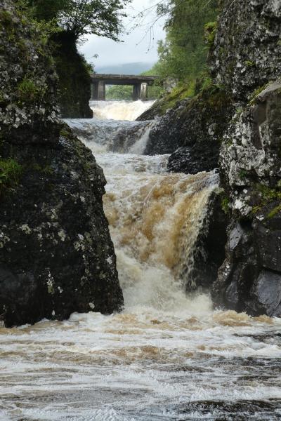
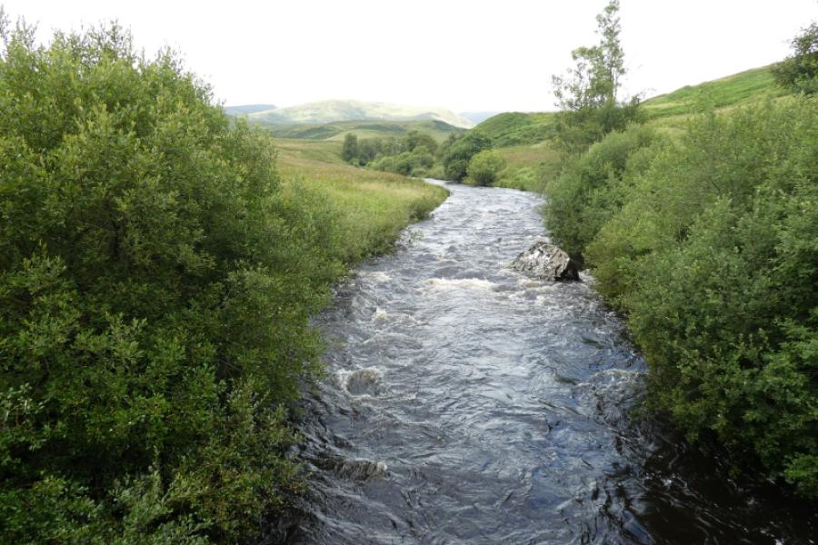
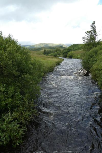
The Bracklinn Falls are very popular and very accessible, even by wheelchair. They occur where Keltie Water crosses the Highland Fault. There is a bridge across the falls and this route continues upstream to another bridge higher up where there are more waterfalls. The track across this higher bridge can be under a few inches of water after rain so choose suitable footwear. Scout Pool is by this bridge although some accounts place it lower down the river. The path after Bracklinn Falls is easy to follow but steep in places and is not accessible by wheelchair.
Route
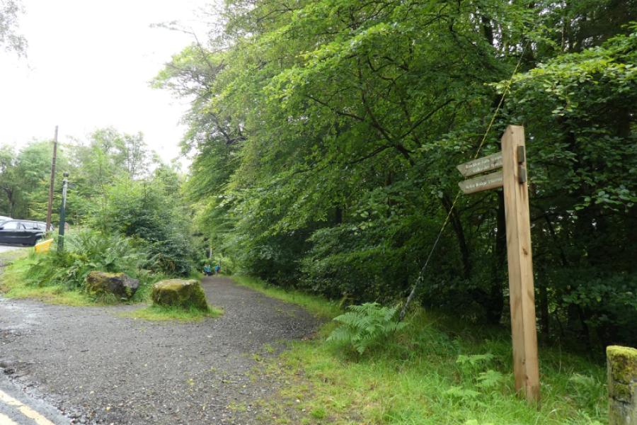
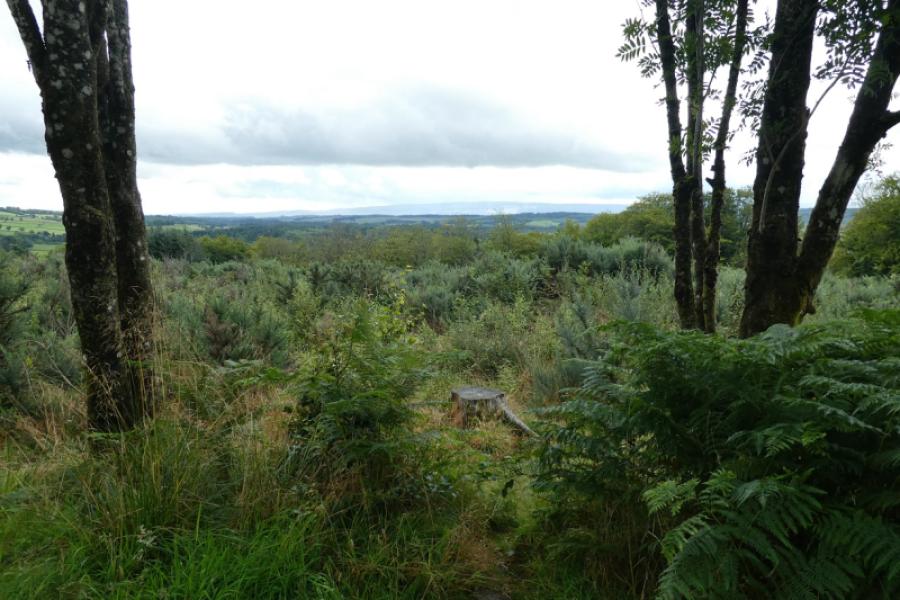
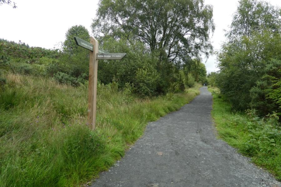
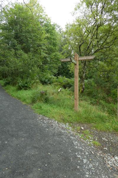
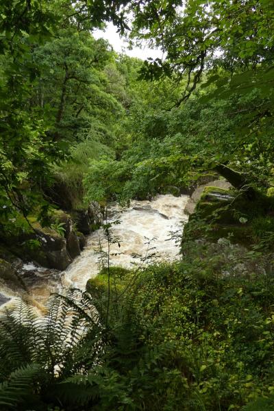
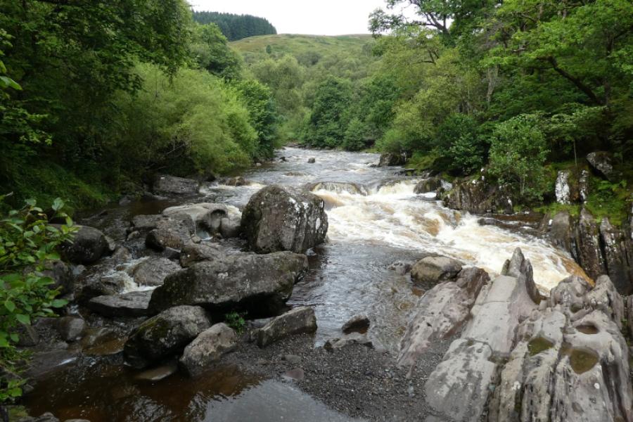
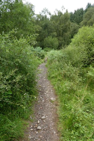
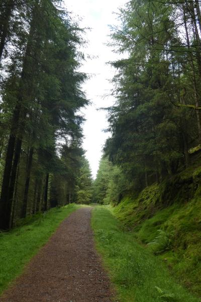
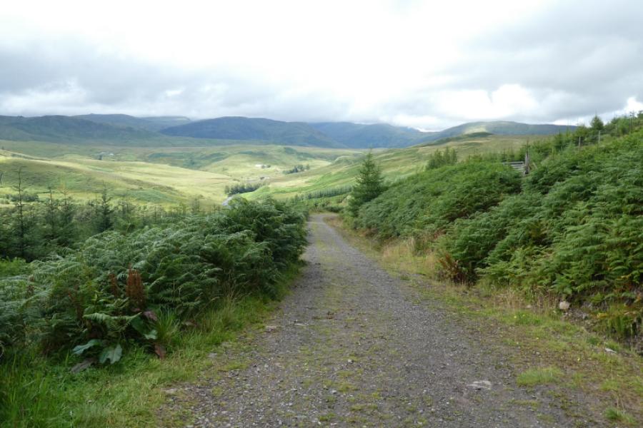
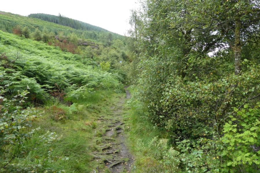
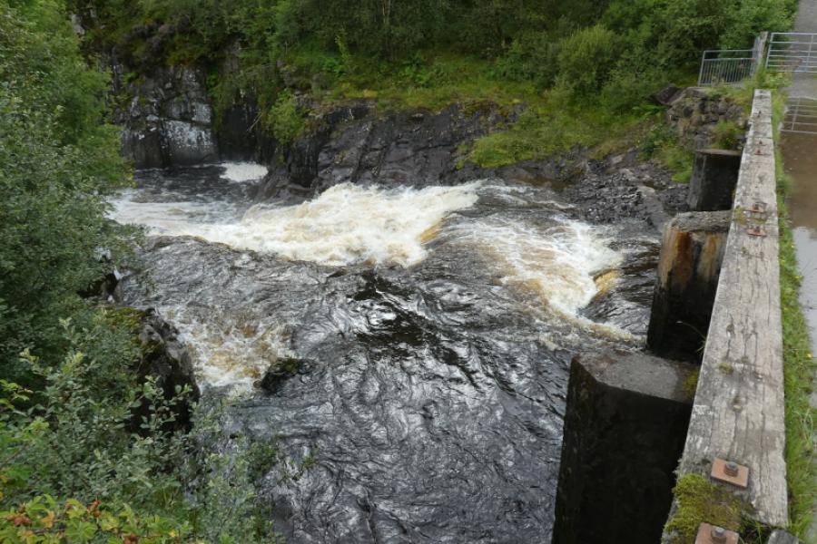
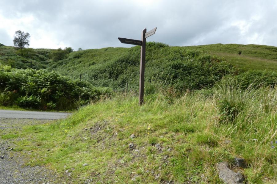
(1) Follow the signed path from the car park. The path is well signed and fairly straight with occasional views out of the forest. Follow the signs and the path eventually goes left then curves round and descends to the bridge over the falls. In places, there are paths taking you nearer the water but be careful especially when the river, Keltie Water, is in spate.
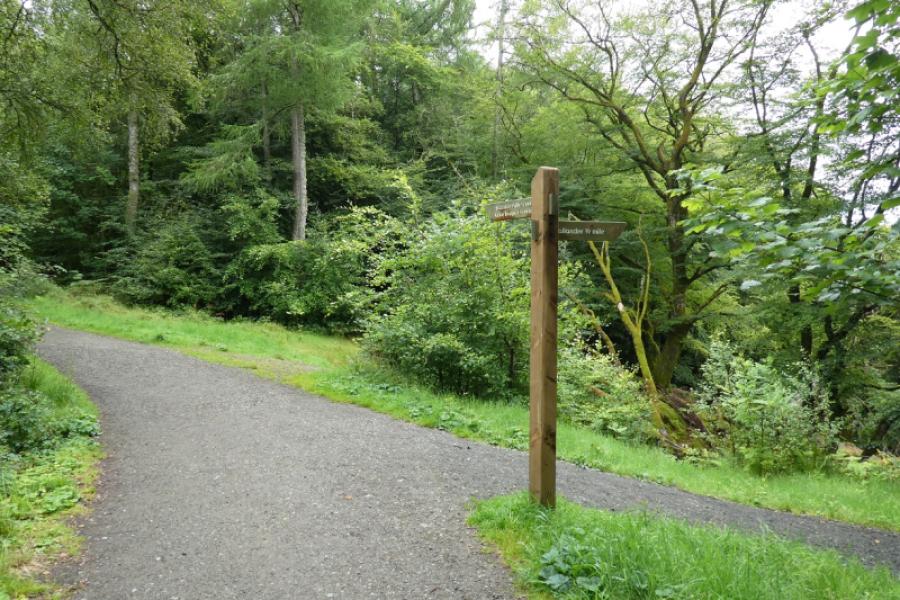
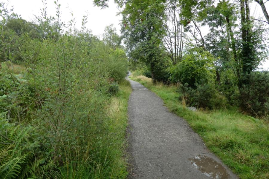
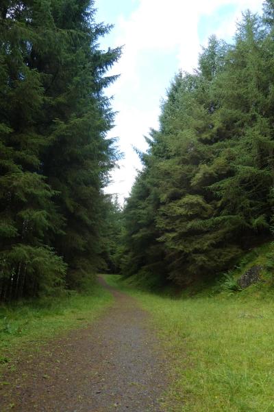
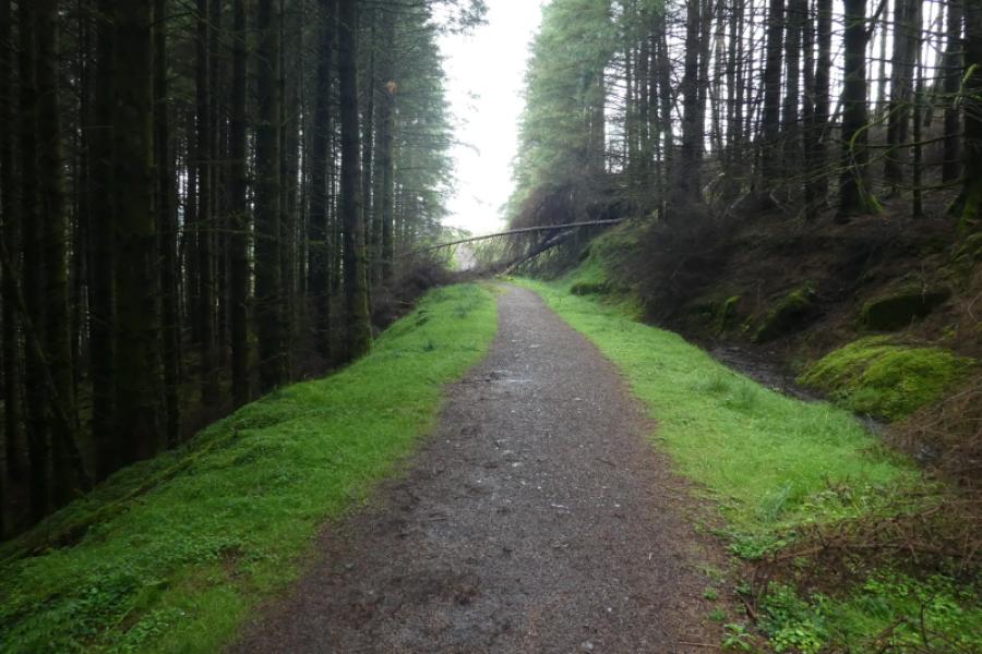
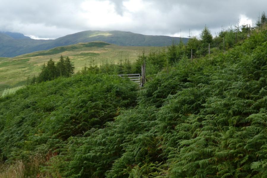
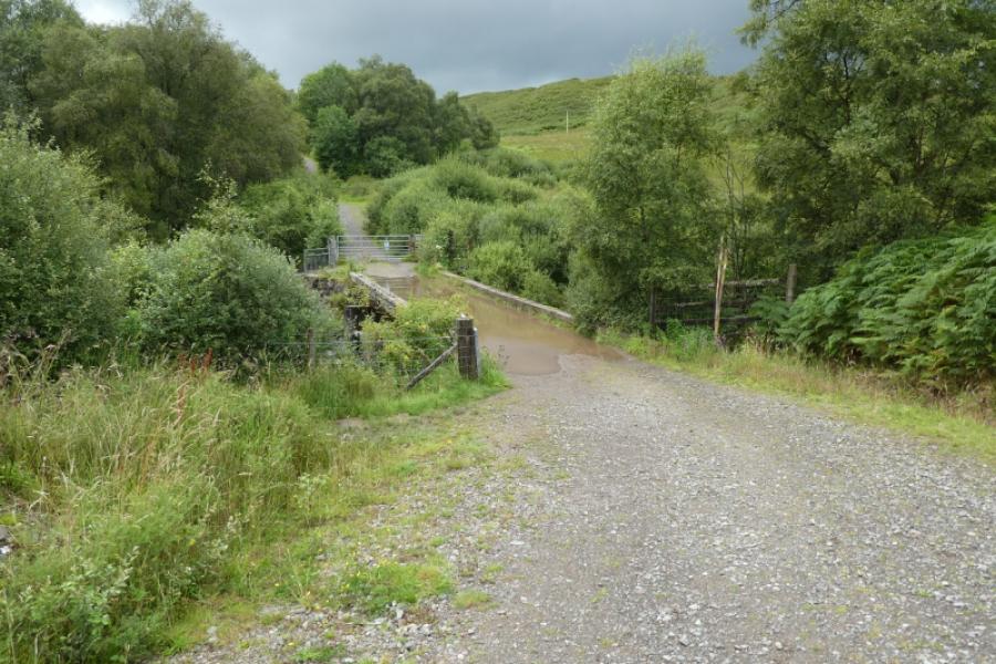
(2) Cross the bridge, turn left and follow the path upstream. There are some steepish sections as the path climbs well above the river but it eventually becomes a track when it reaches the conifers. Follow the track through the trees to emerge after some distance. Soon after the track forks so go left and descend to the higher bridge over Keltie Water.
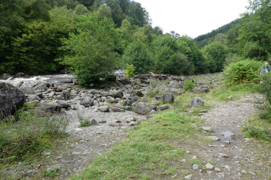
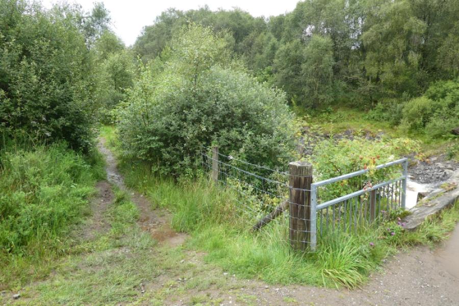
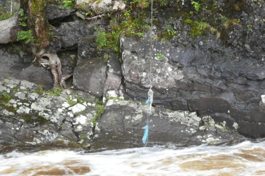
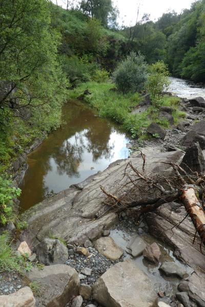
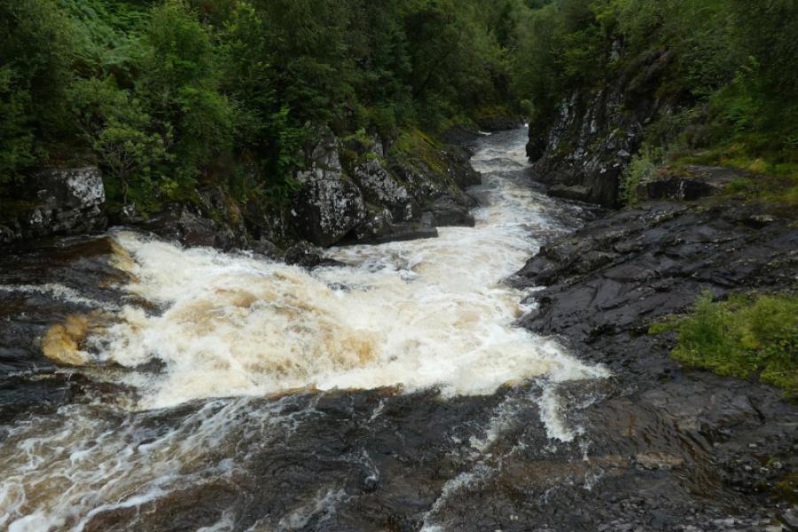
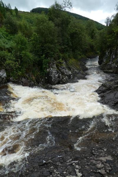
(3) Just before the bridge, follow a faint and muddy path downstream for about 250 m. This path is exposed in places so care is needed. It ends above a wide pool. On 12/8/23, there was a rope down the eroded bank and there was a rope swing on the other side of the river. Look around for the point from where you can see up the waterfalls to the bridge. Retrace back to the bridge. The section of Keltie water between the bridge and the end of the path is referred to as the Scout Pools in some sources.
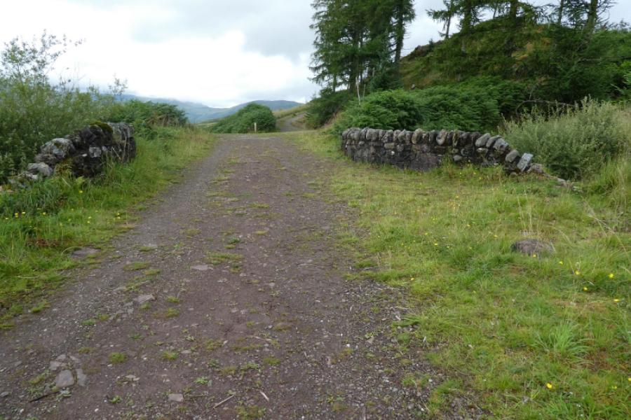
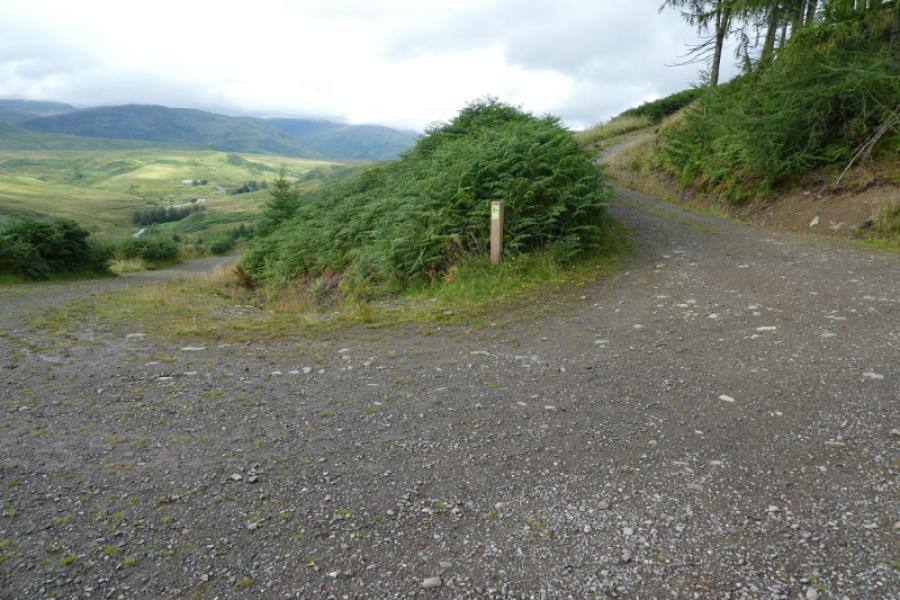
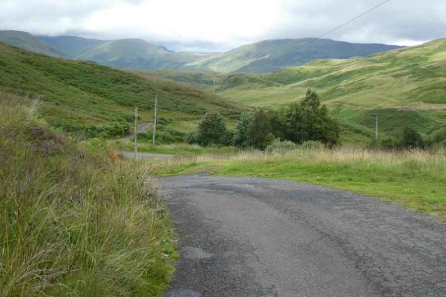
(4) Cross the bridge and ascend the track on the other side to reach a minor road. Turn left and follow the road back to the car park.
Notes
(a) This walk took place on 12th August, 2023.
Photos - Hover over photo for caption. Click on to enlarge. Click on again to reduce.