Get Lost Mountaineering
You are here: Scotland » 01 South of Oban to Stirling and Fife » Loch Earn to Loch Tay
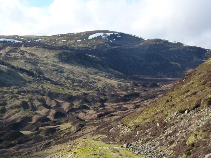
Ben Chonzie & Carn Chois from the Turret Dam
Ben Chonzie & Carn Chois from the Turret Dam
Start/Finish
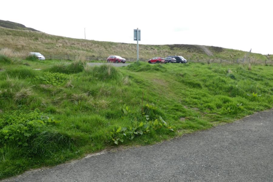
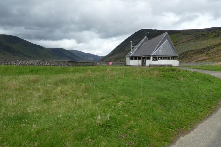
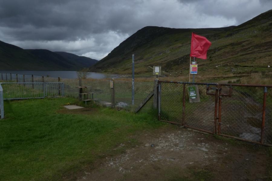
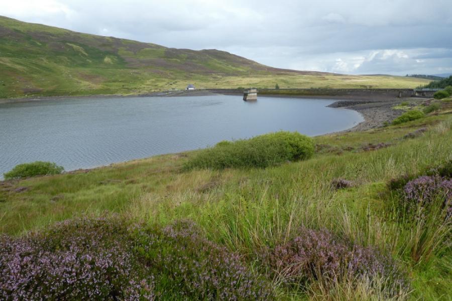
Minor roadup Glen Turret to car park just before the Glen Turret dam. On the western edge of Crieff, on the A85, is a road well signed for Glen Turret Distillery. Take this road. Pass the distillery, go round a right hand bend then take the next left by a house called “Hosh”. Follow this minor road, with a 10 mph speed limit until it passes through a gate onto the road to the dam. Follow the road as far as you are allowed to reach the car park. In 2022, this road was breaking up in places. It is a large car park but does fill up at times and parking elsewhere is not allowed.
Distance/Time
17 km. About 6 – 7 hours.
Peaks
Ben Chonzie, 931 m, NN 773 308.
Carn Chois, 786 m, NN 791 277. OS Sheet 52: Pitlochry to Crieff
Introduction
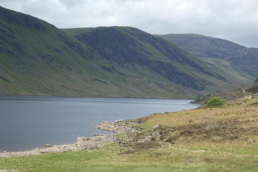
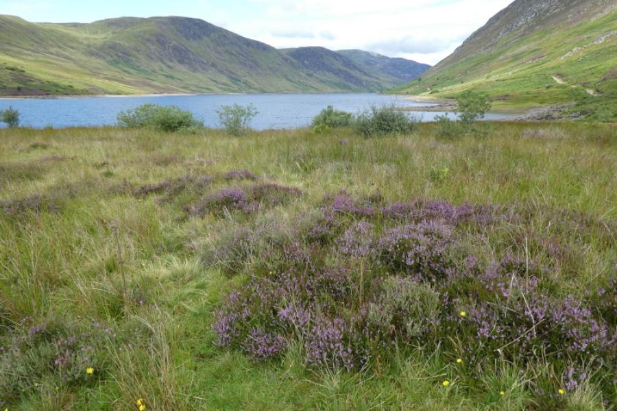
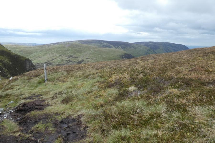
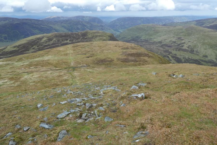
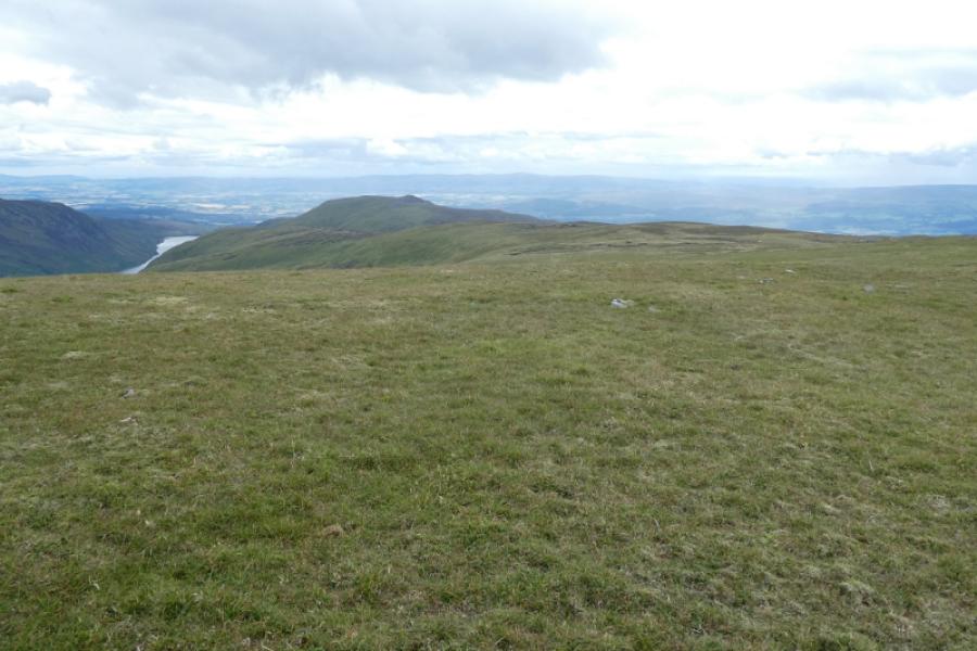
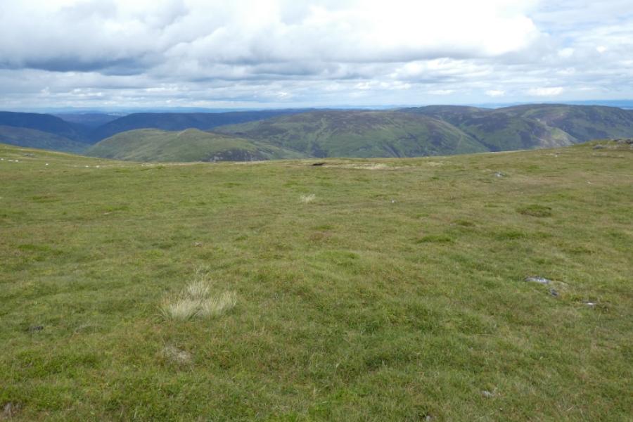
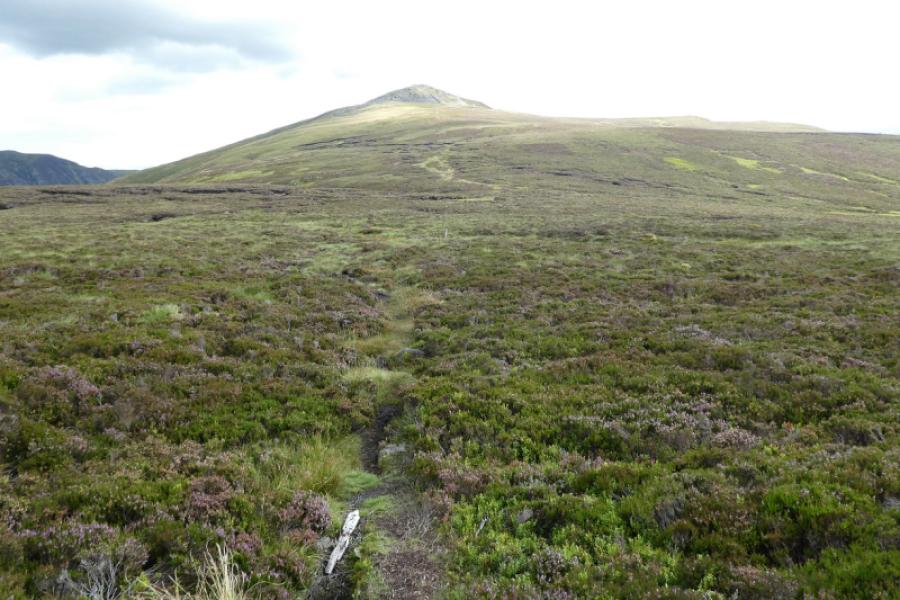
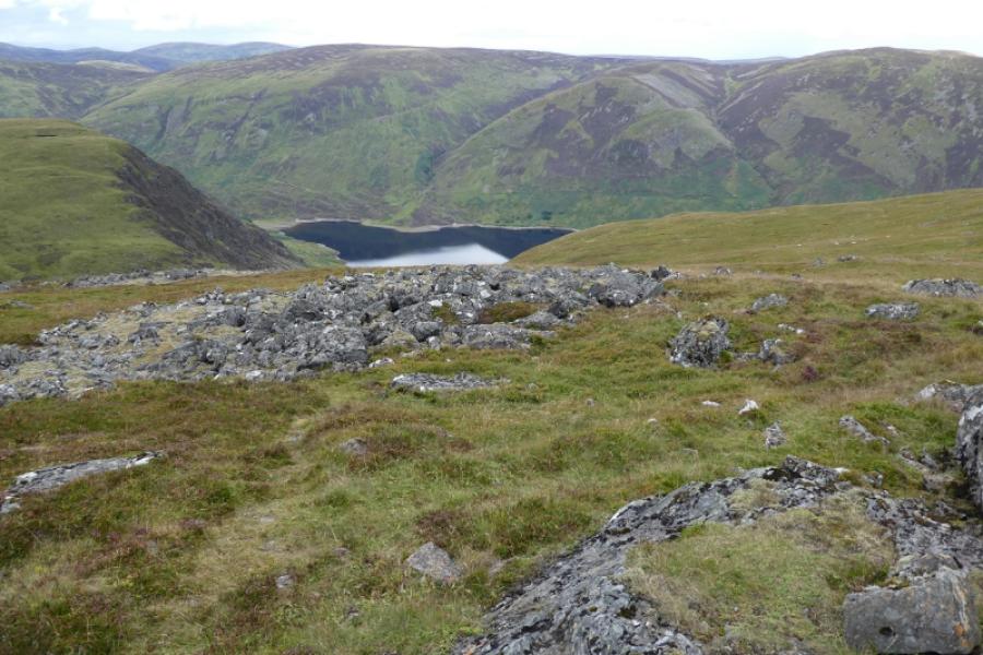
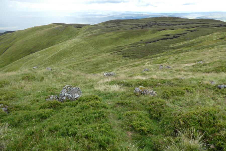
This is a more strenuous route than the one from Glen Lednock and the route from the Turret Dam which returns by the outward route. The track alongside Loch Turret has much up and down. After the track ends, the ground is quite wet before a path leads up to a col on the NE ridge then onto the summit. There are great views on clear days including to the Ben Lawers range. The return follows the south ridge of Ben Chonzie over an unnamed top then Carn Chois before descending down to the track on the western side of Loch Turret. The going on the south ridge is mixed with some boggy sections,
Route
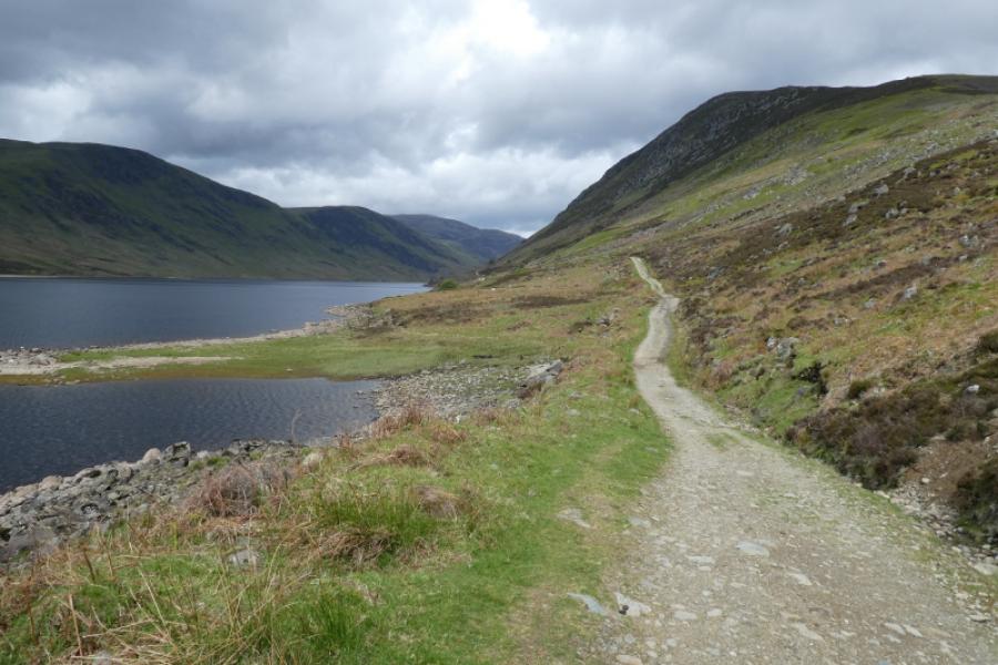
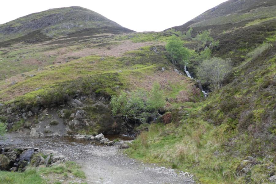
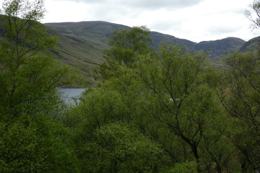
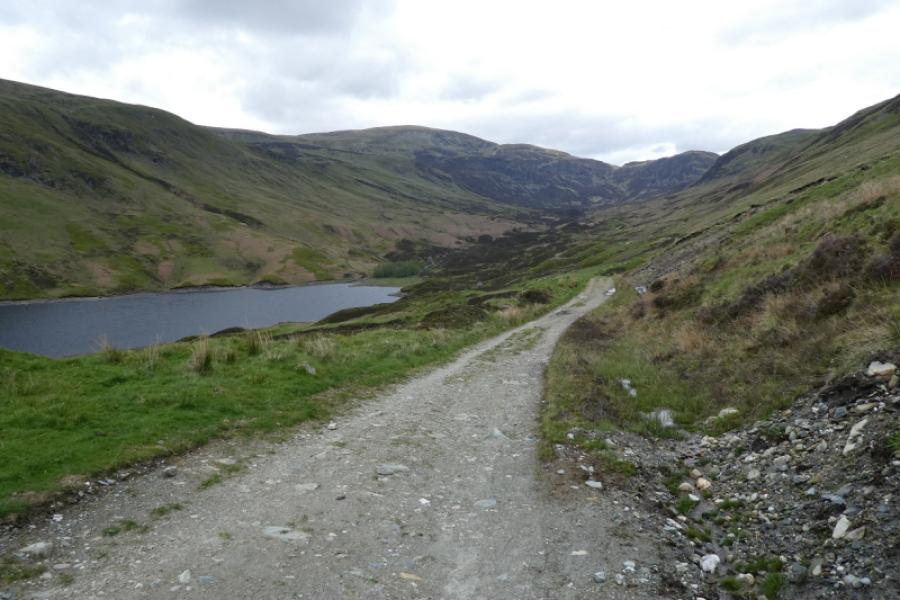
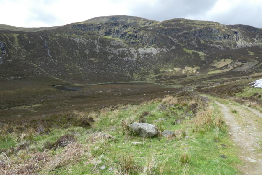
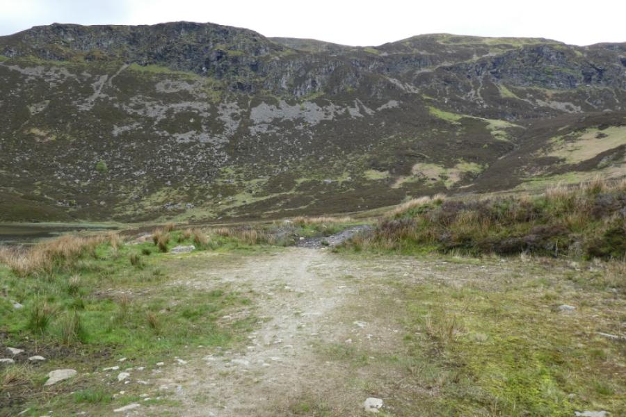
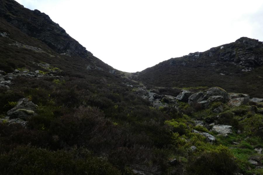
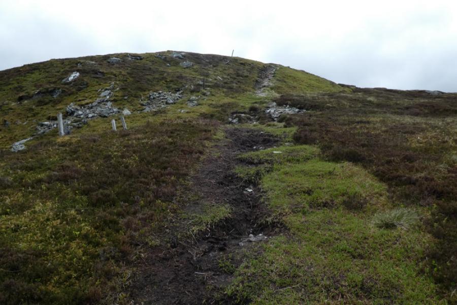
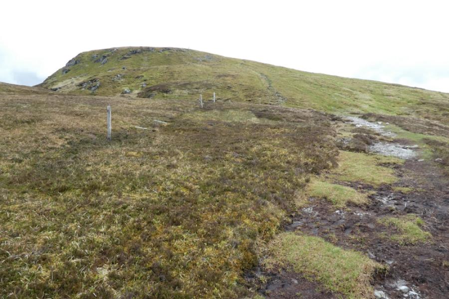
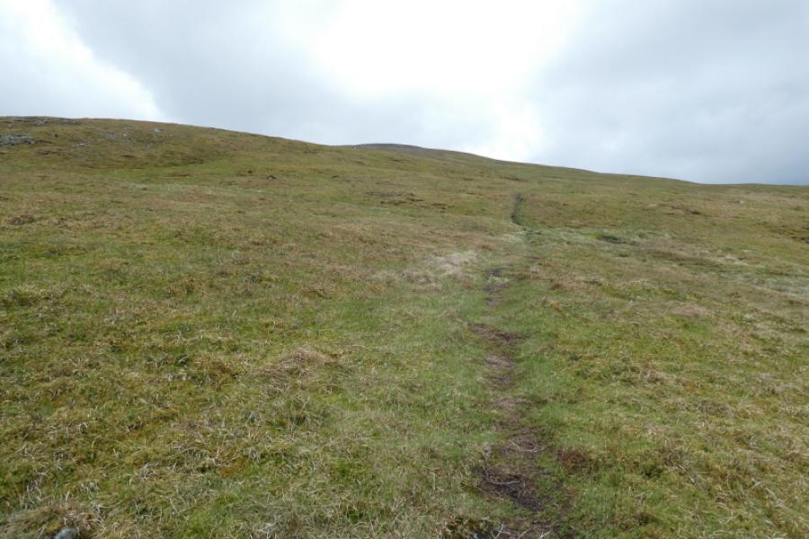
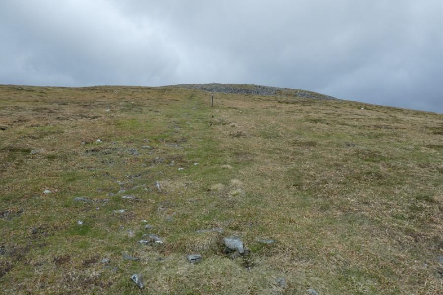
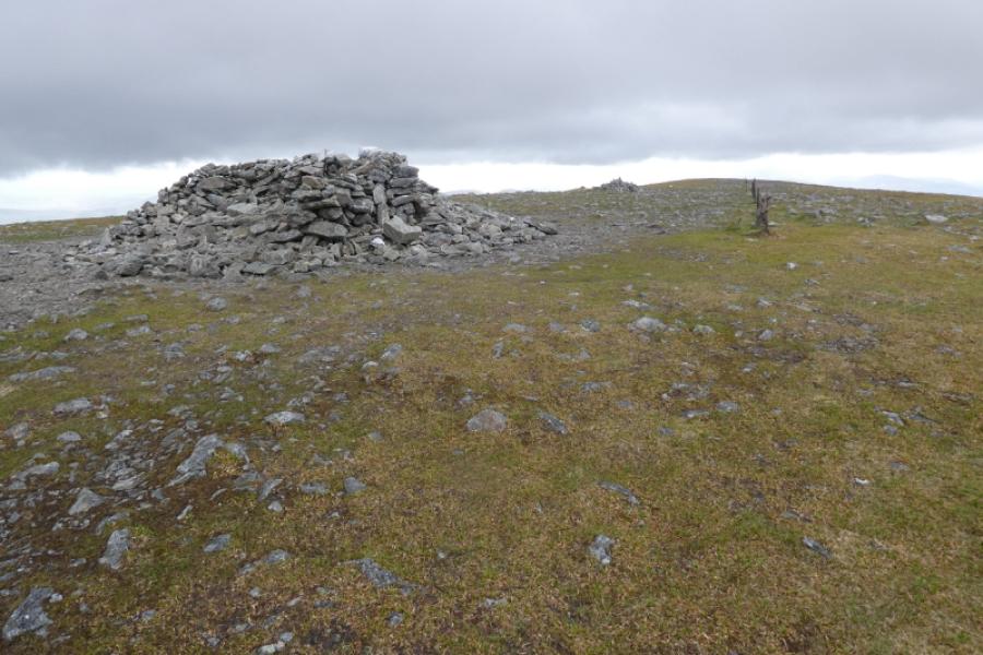
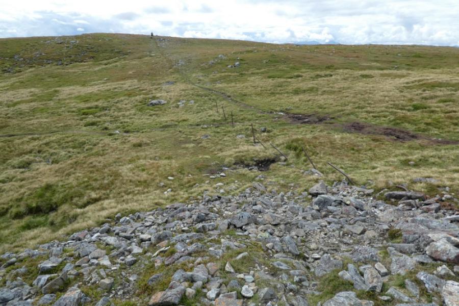
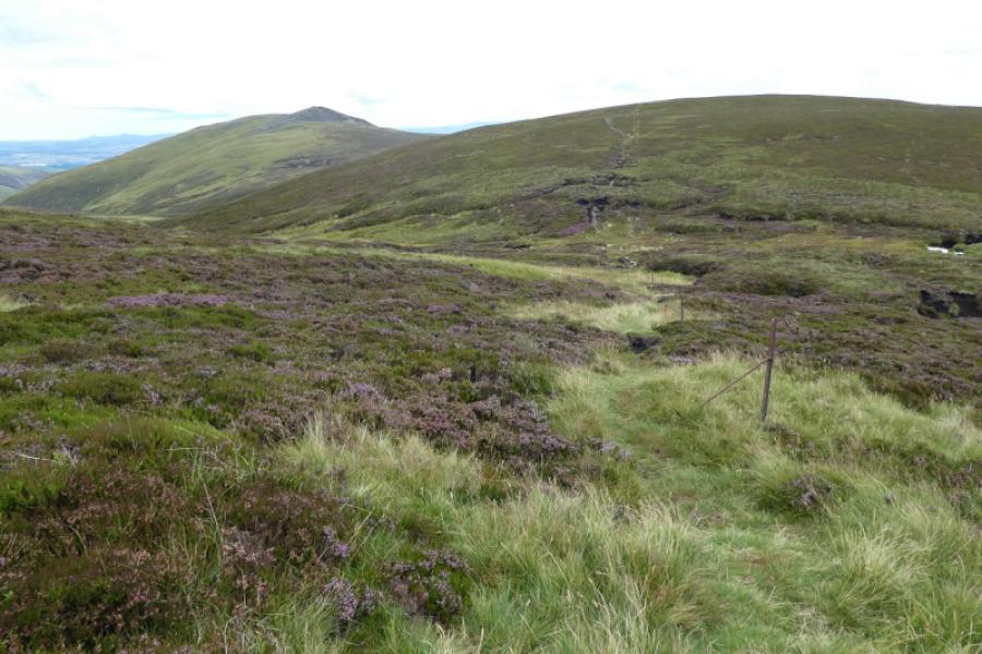
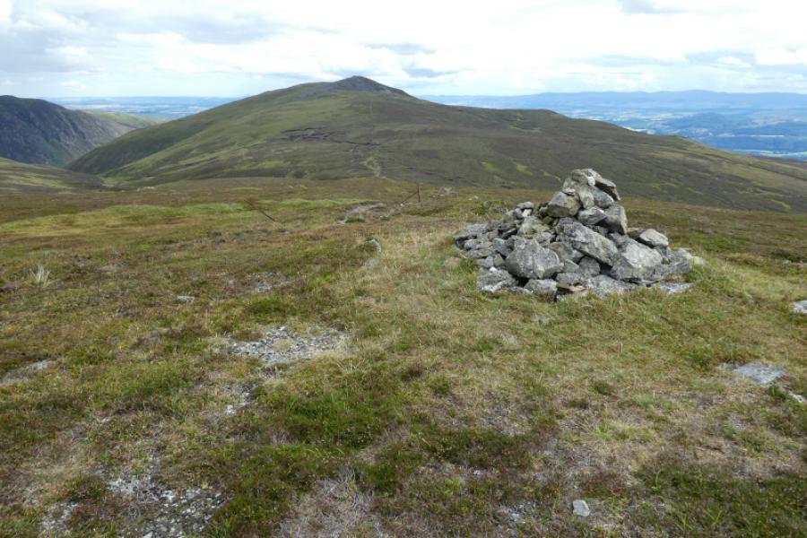
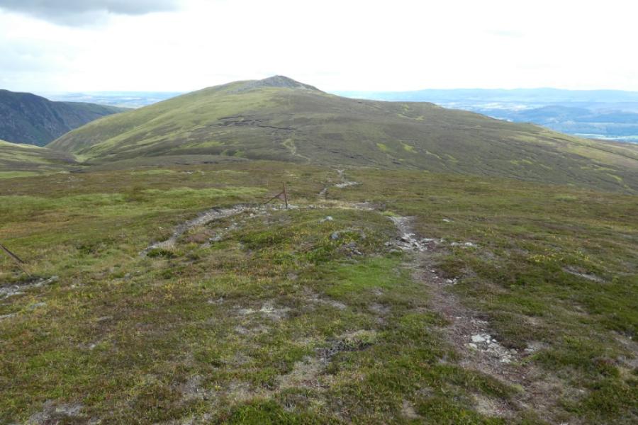
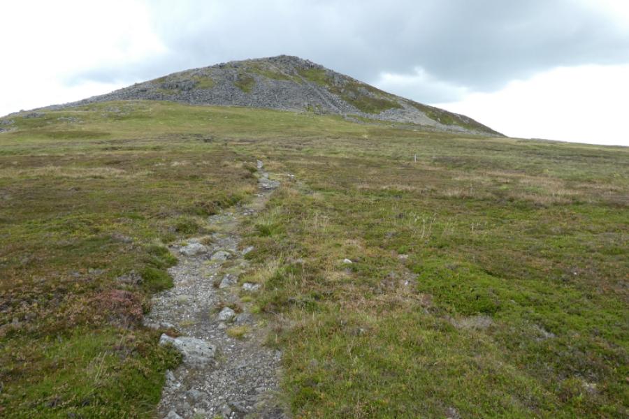
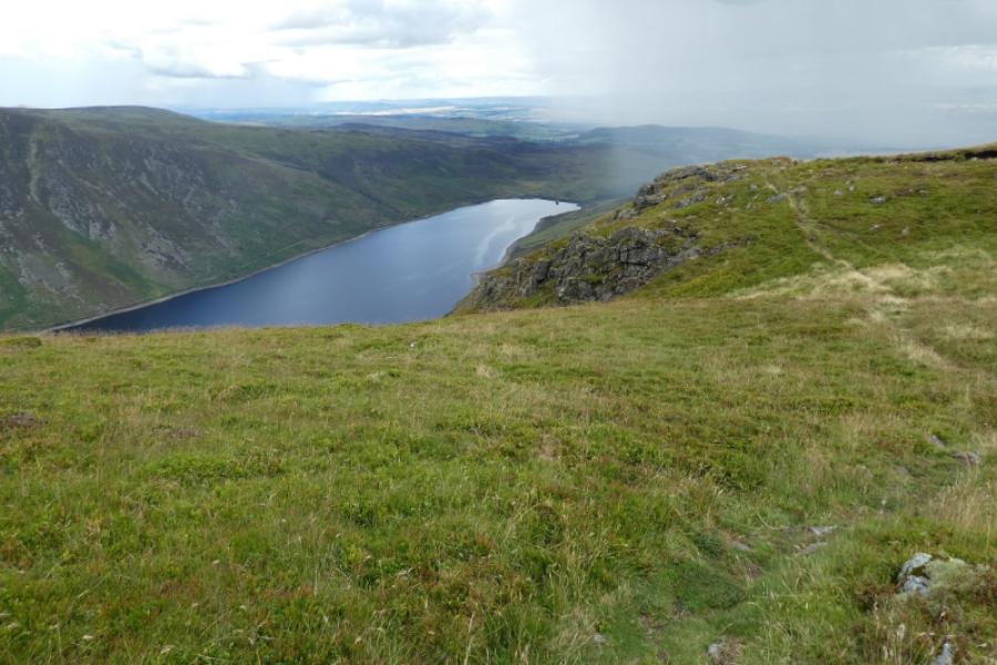
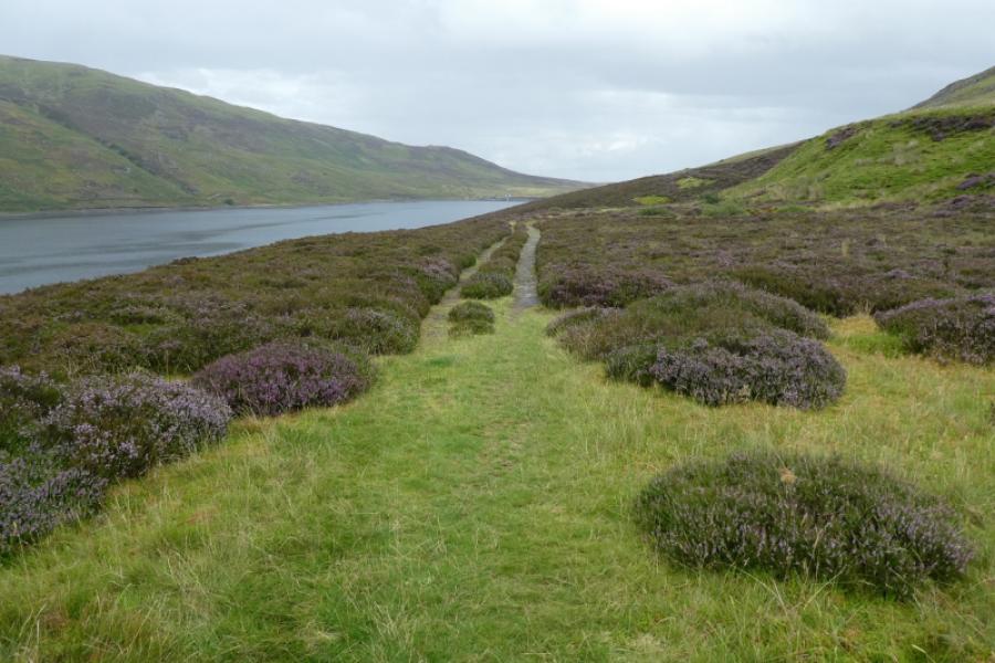
(1) Walk along the track, with all its ups and downs, on the east side of Loch Turret. The track goes further than some maps show and passes Lochan Uaine which now seems to be drying up. When the track ends, continue, initially on wet ground, and head for the obvious low point on the ridge ahead. Soon a good path takes over and picks its way up to the ridge. When the angle eases, look for a single fence post above to the left and head for this on a path. Continue up, on a good path, alongside old fence posts. When the fence posts seem to run out, the summit is very close. Reach the very large summit shelter cairn of Ben Chonzie, 931 m, at a junction of fences although the junction is not as obvious as it used to be. There is a smaller cairn just beyond.
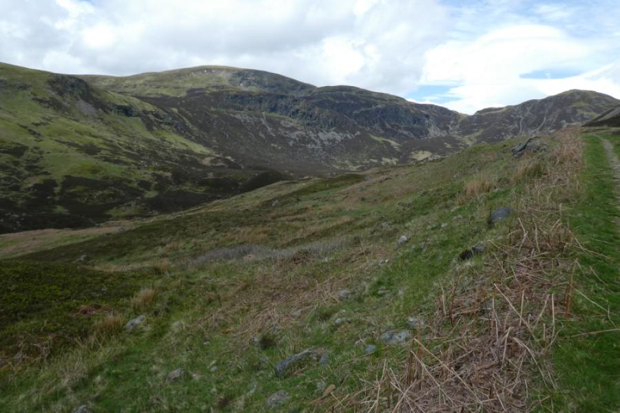
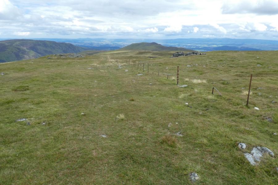
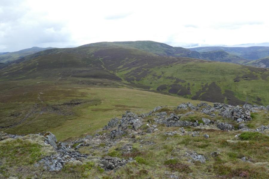
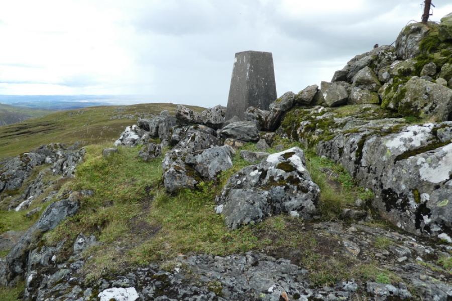
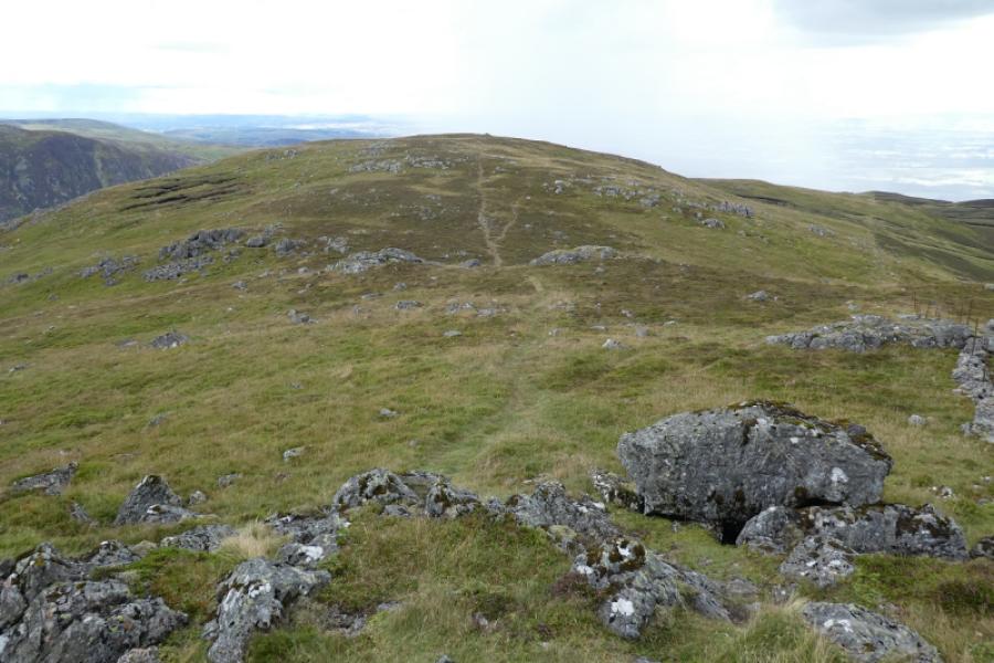
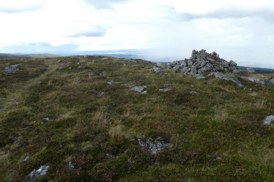
(2) Walk south west from the summit (the route to Glen Lednock). In a dip, take a path going left which cuts the corner and takes one onto the south ridge (still the way to Glen Lednock). Follow the path along the ridge which continues even after all the paths (on the right) which descend to the track down to Glen Lednock are passed. Some of the ground is boggy especially in the cols. Ascend to a minor top with a cairn then descend down, cross a boggy col, and ascend up to Carn Chois – the pointed peak well seen from some distance. Reach the trig point which is the summit of Carn Chois, 786 m.
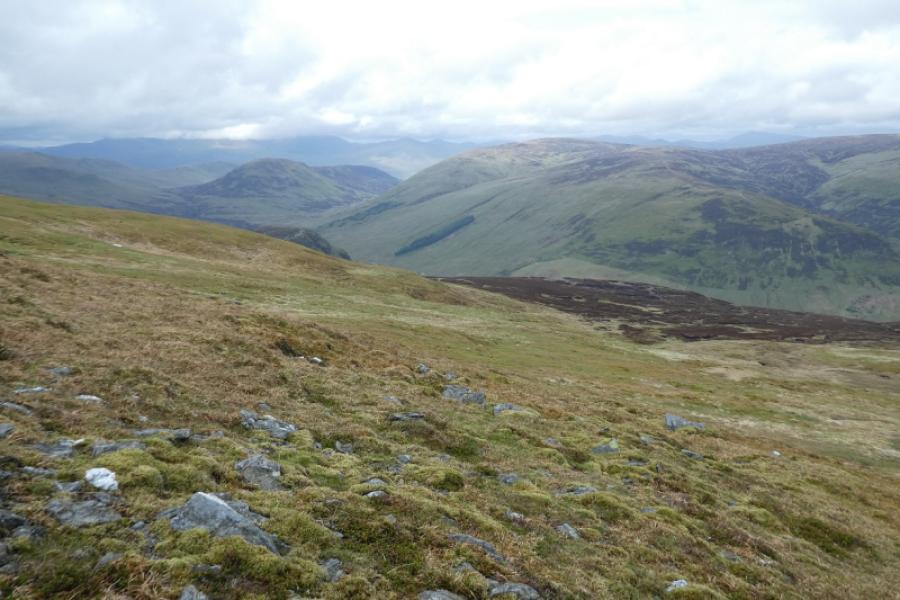
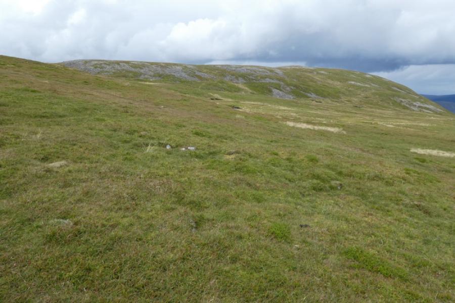
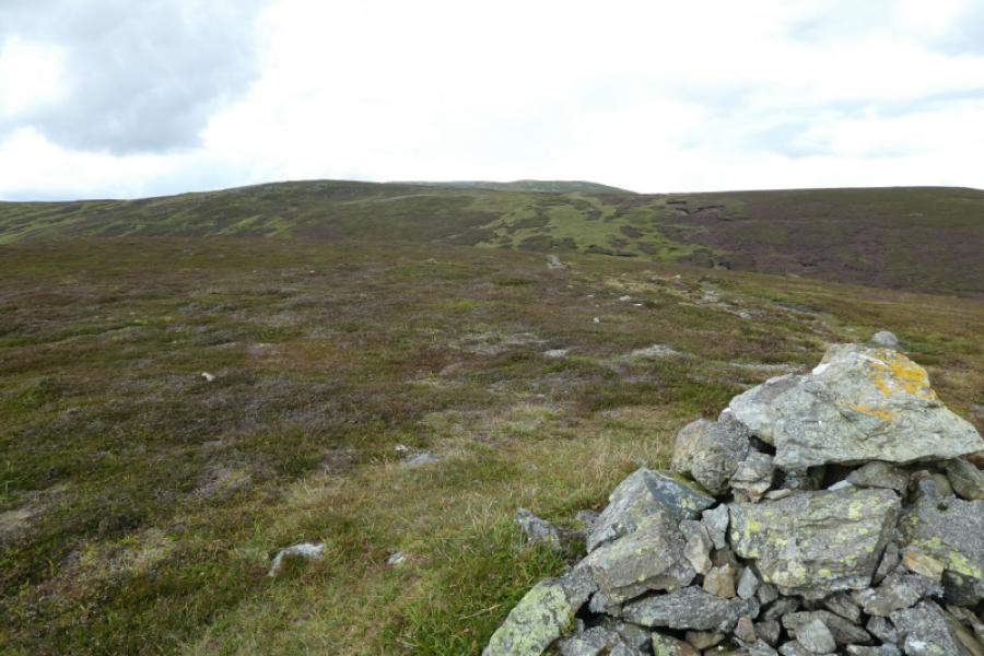
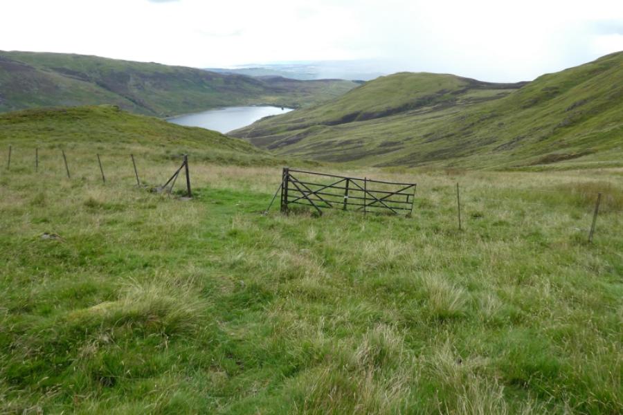
(3) Continue on the same path to reach a minor top with a cairn. Be careful here as the most obvious path goes directly towards Loch Turret so only follow it until another path cuts back on the right. This traverses below the minor top then descends gradually towards a fence crossing a wide grassy gully. Leave the path when another path goes left and down. Follow this path to cross another fence by a gate. Continue following the path as as it makes a descending traverse to eventually reach the end of a track. Follow this to the dam and car park.
Notes
(a) This walk took place on 15th August, 2023.
Photos - Hover over photo for caption. Click on to enlarge. Click on again to reduce.