Get Lost Mountaineering
You are here: Scotland » 01 South of Oban to Stirling and Fife » Ben Lui Range to Crianlarich
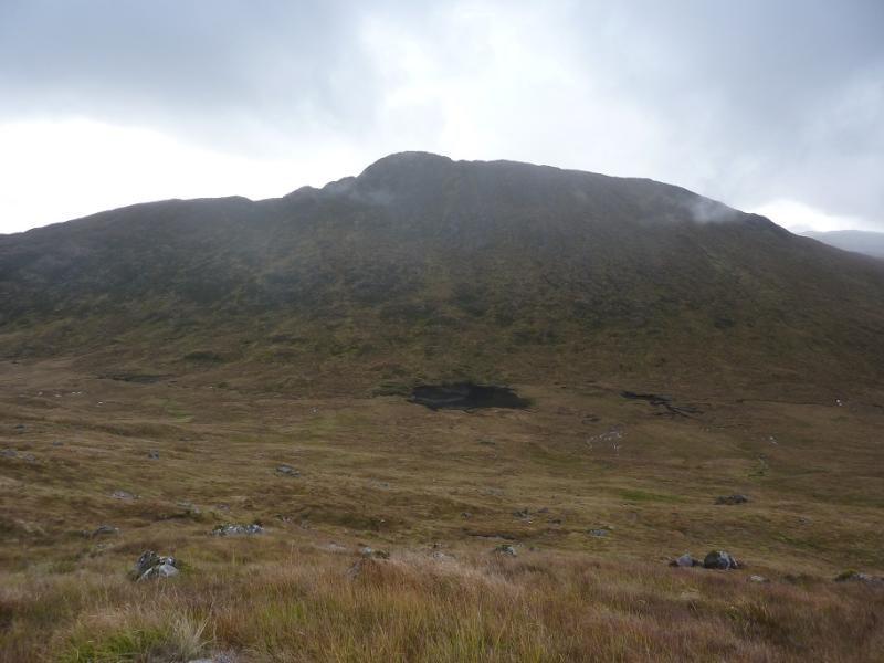
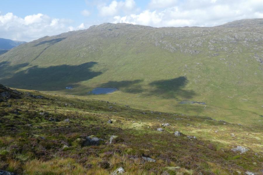
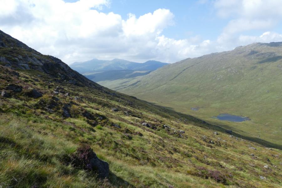
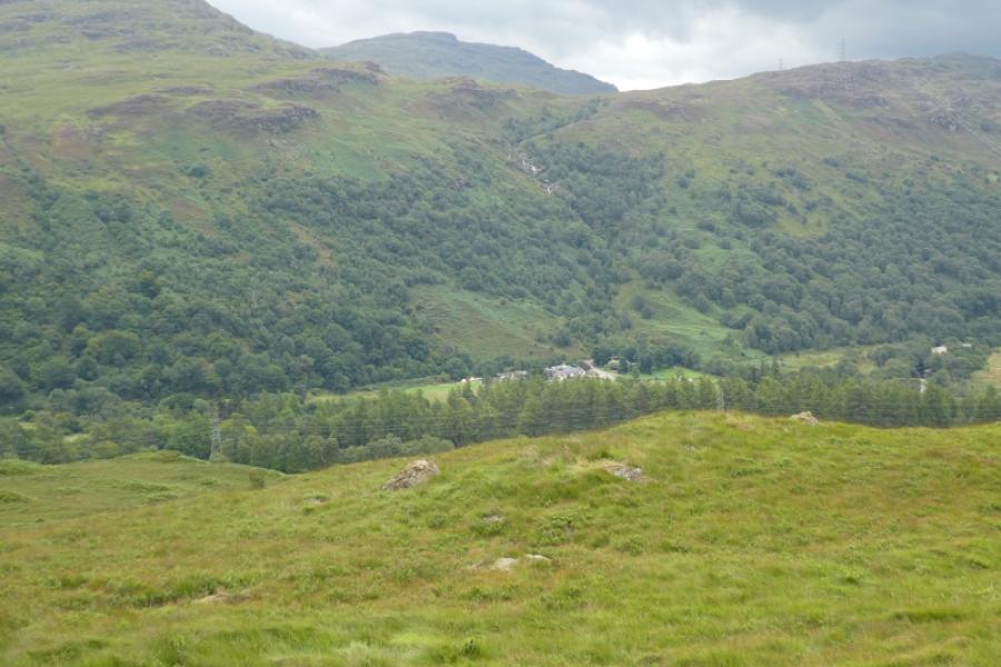
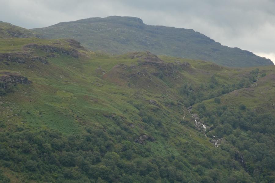
Beinn Damhain from Glen Falloch
Beinn Damhain from Glen Falloch
Start/Finish
The gate (usually locked) at the start of the hydro track in Glen Falloch. This is at NN 319 197. The track is on the S side of the bridge over the Allt nan Caorainn. The entrance to the Beinglas campsite is about 1 km S of the gate. Note that there is also a track on the N side of the Allt nan Caorainn. On 17/8/23, rocks had been placed at the entrance of the track, presumably to restrict already very limited parking to effectively just 2 cars. There is now a large entrance across the main road but no parking is allowed there either.
Distance/Time
12 km About 6 hours.
Peaks
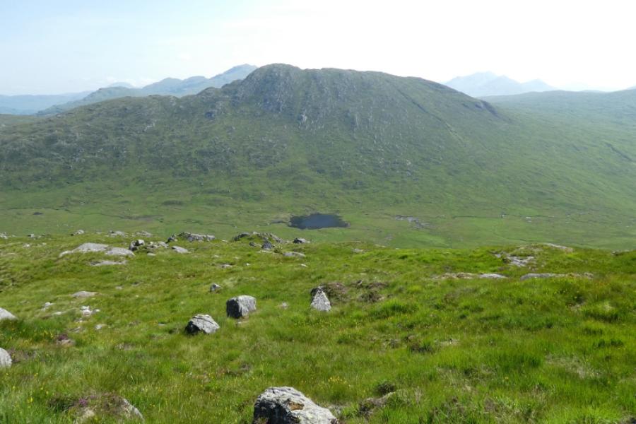
Beinn Damhain, 684 m, NN 282 173. OS Sheet 56: Loch Lomond & Inverary
Introduction
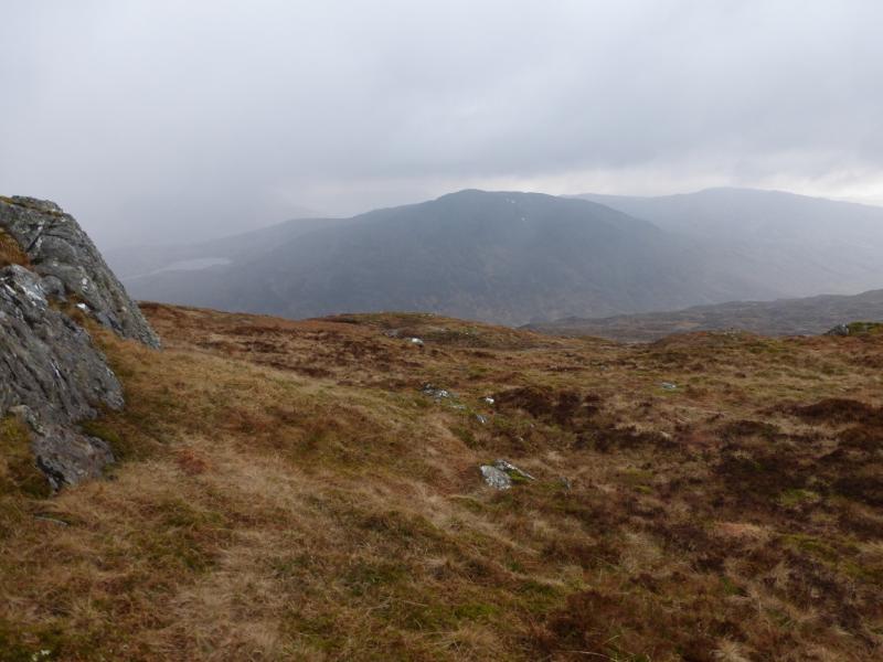
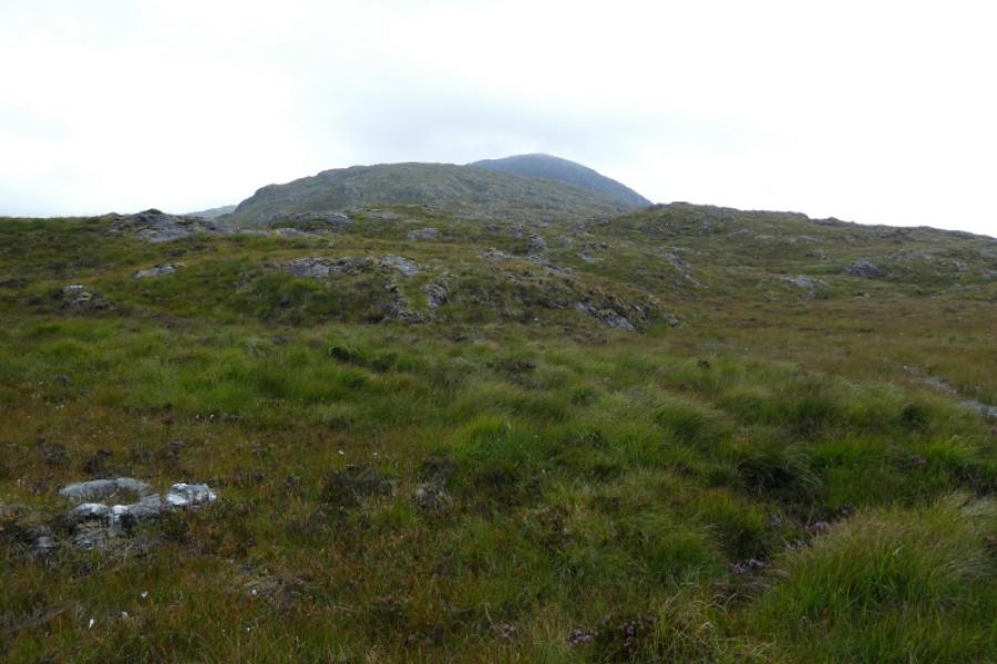
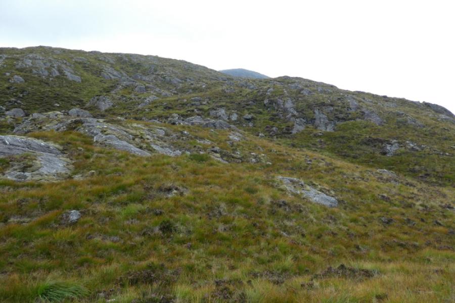
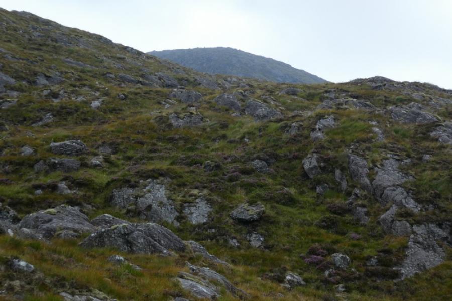
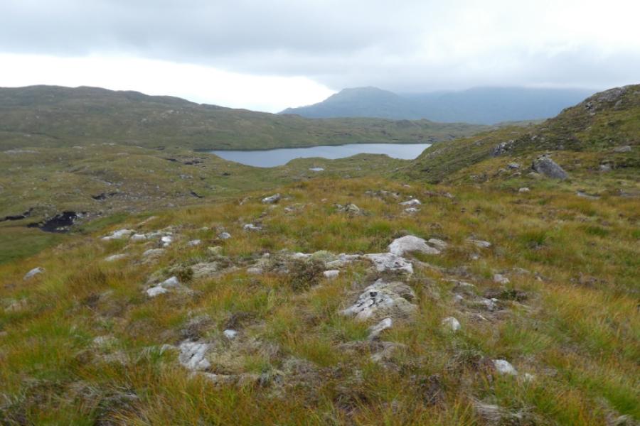
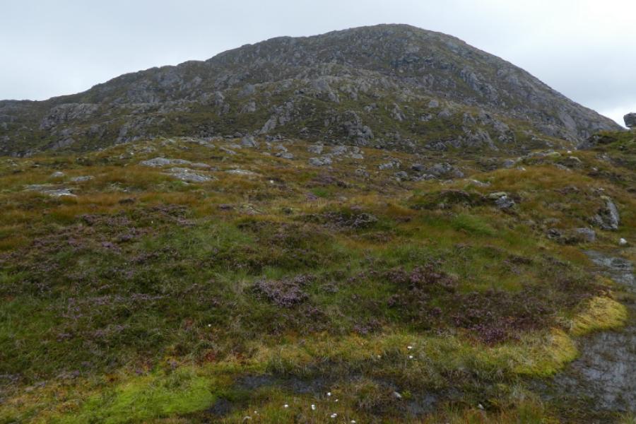
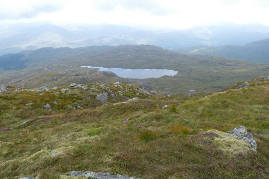
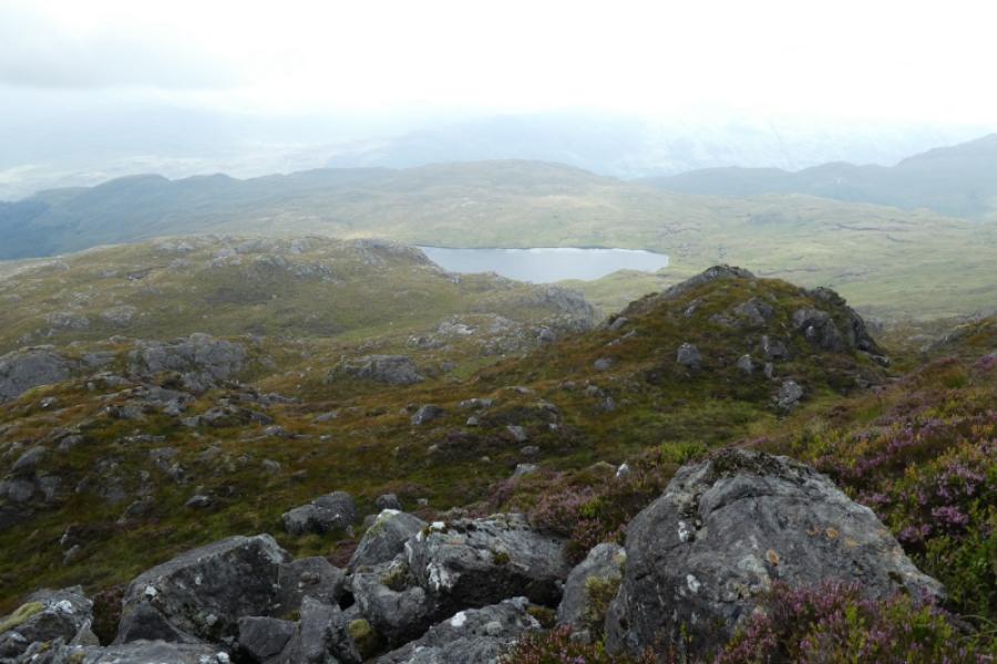
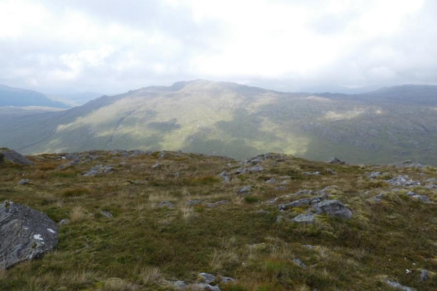
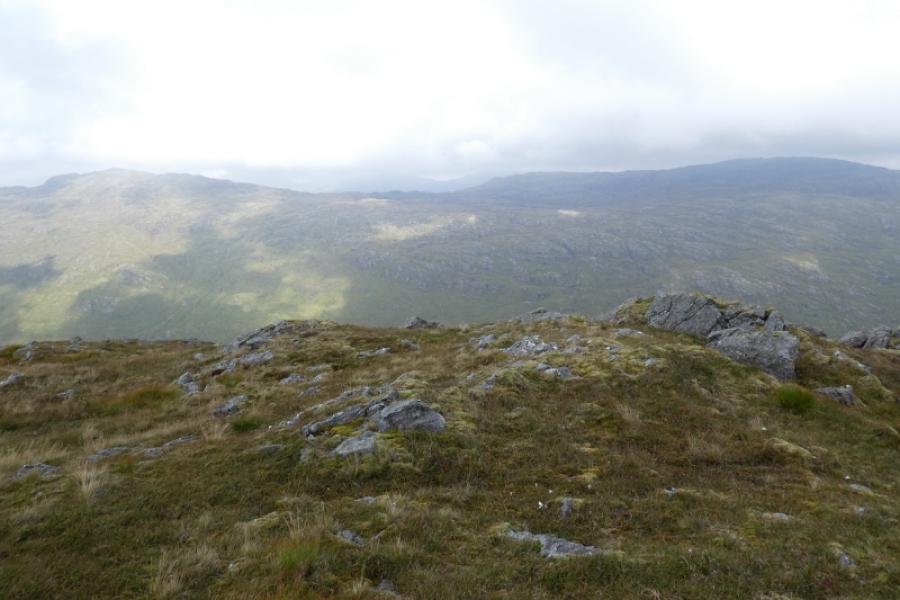
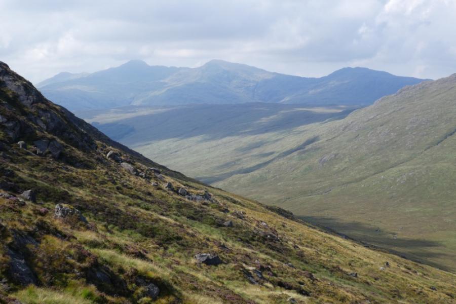
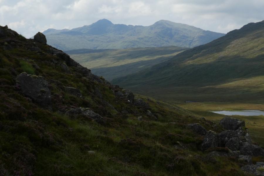
Once the hydro track is left, this is a rough and pathless walk as few seem to visit this hill despite it being a Graham (hill over 2000 feet). The east ridge is very broad and would be difficult to navigate in thick weather. Extra care is needed on the descent as the heather hides many holes. Those wanting to climb this hill are advised to combine it with the Corbett of Meall an Fhudair so that all of the rough ground is covered in one visit. In clear weather, the summit gives good all round views including Meall an Fhudair/Troisgeach (north), Ben Vorlich (south south east) and Beinn Bhuidhe (west north west) plus Beinn Chabhair (east) across Glen Falloch
Route
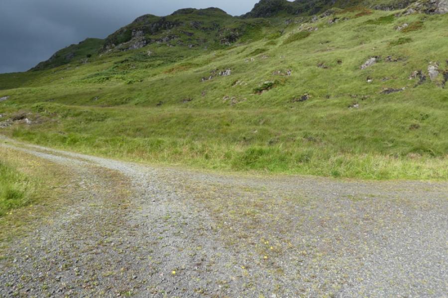
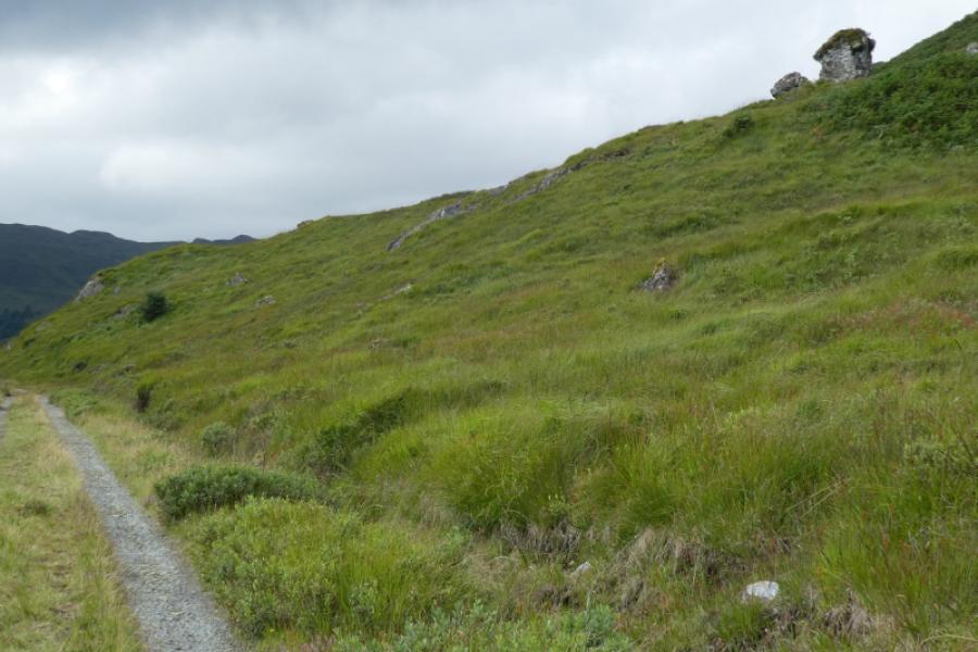
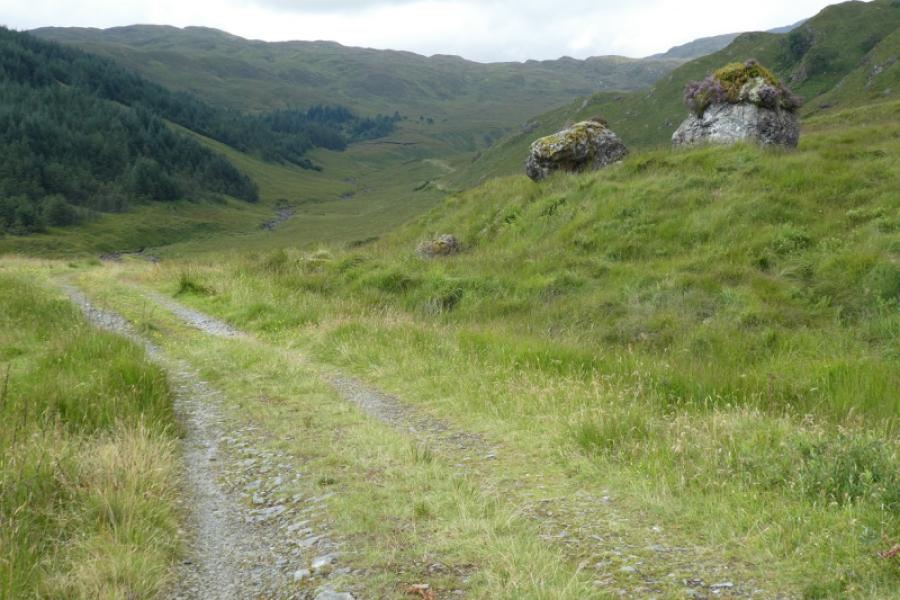
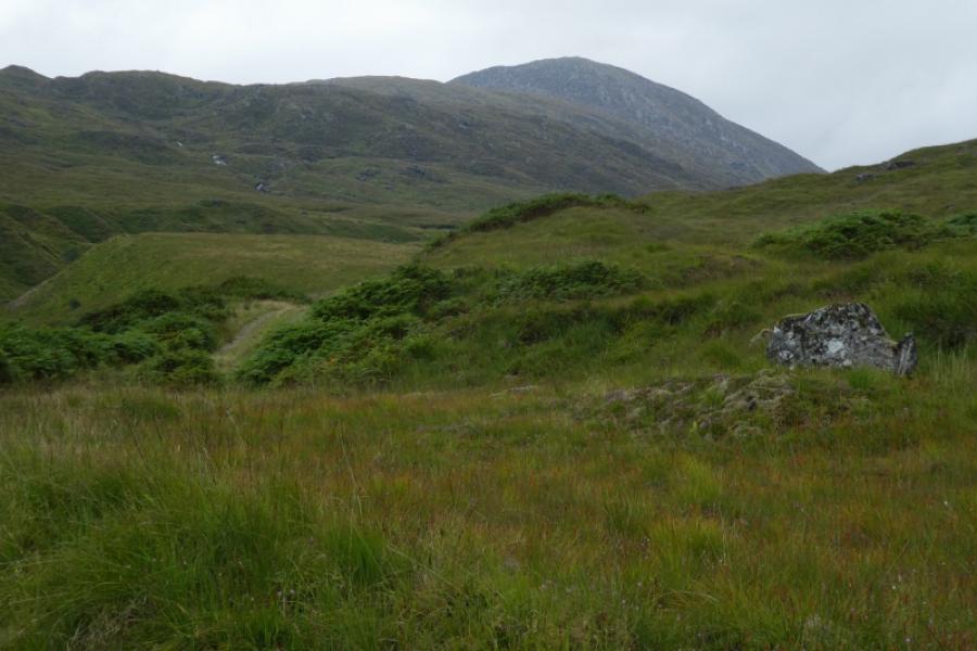
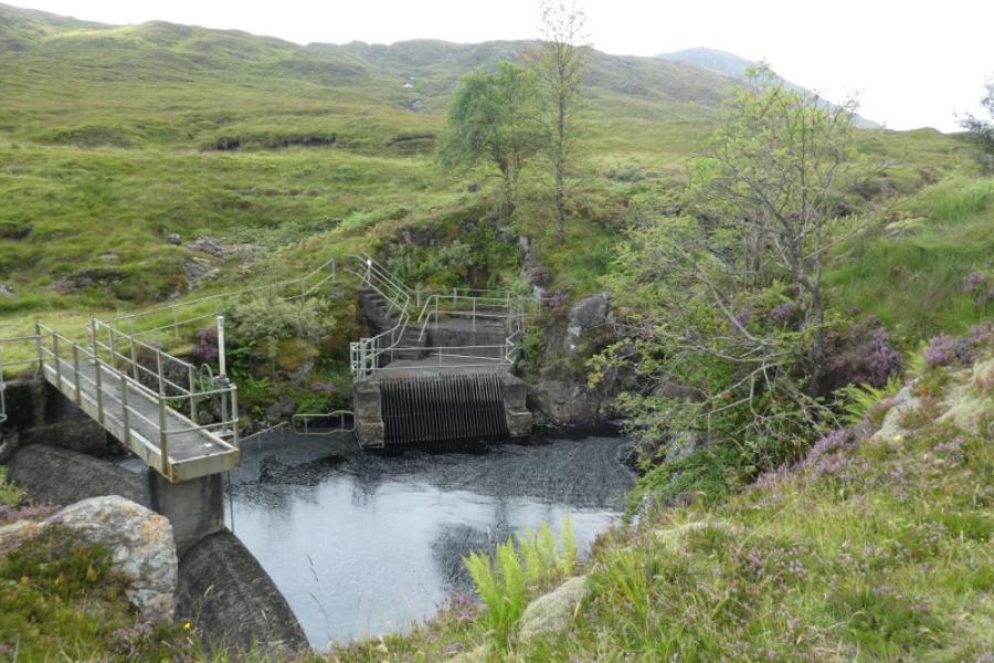
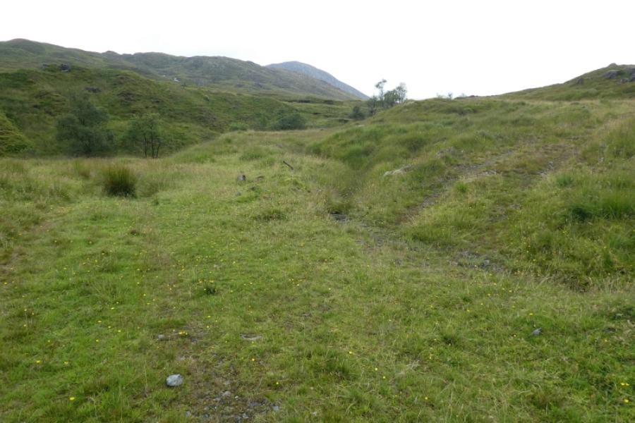
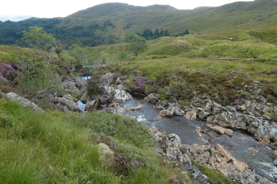
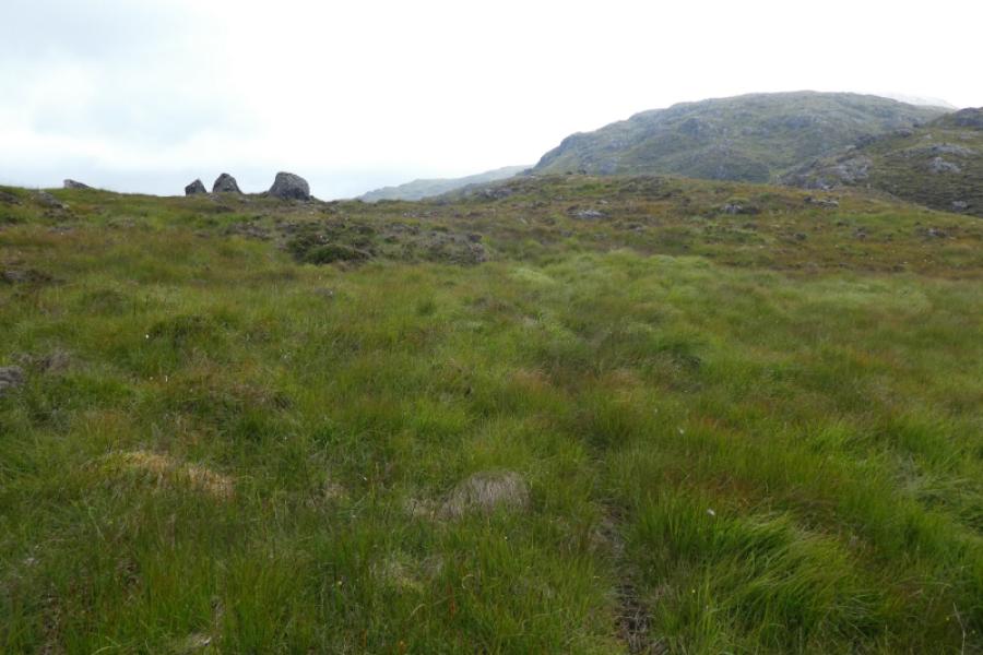
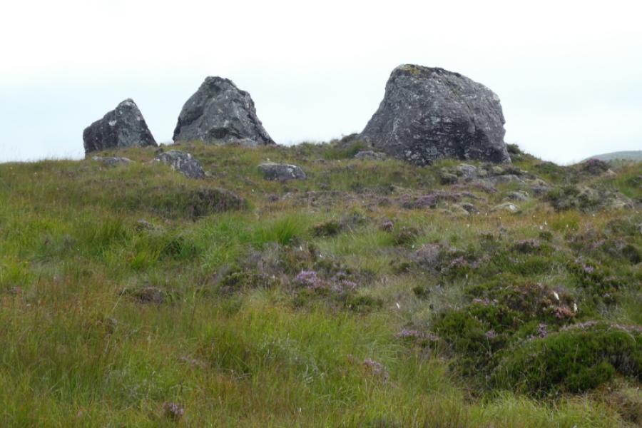
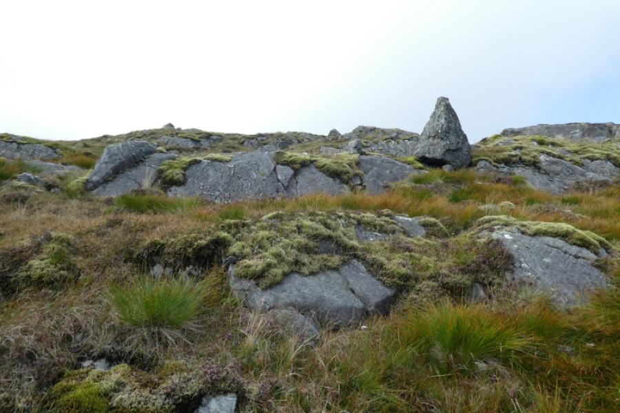
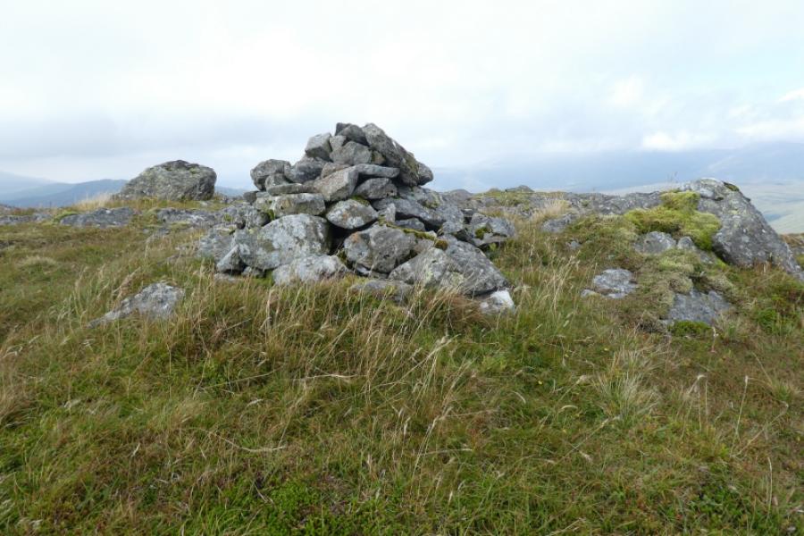
(1) Walk up the zig zag track, taking the left fork when the track splits, crossing the railway, rejoining the main track then passing a telecommunications mast to reach a T junction close to wher ethe pylons cross. Turn left and follow the track to its end close to a small dam. Cross the stream as soon as possible above the dam and start picking a way up the pathless slopes. The broad ridge undulates a fair bit so try to avoid unnecessary loss of height. Lochan Beinn Damhain is to the south but not really on the route. Keeping to the south side of the ridge may take you past 3 distinct boulders. Keep picking a way up the pathless east ridge until there is a final steepening with rocks to avoid before reaching the medium cairn which marks the summit of Beinn Damhain, 684 m.
(2) Either try and return the same way or make a more direct descent to the Lairig Arnan but a direct descent can be rocky with overgrown grass and heather as well as many hidden holes. Eventually reach easier ground and follow the burn downstream, often across boggy ground, until the trees around the dam are near. Cross the burn and continue to the end of the outward track near to the dam. Retrace along the track back to the start.
Notes
(a) This walk took place on 17th August, 2023.
Photos - Hover over photo for caption. Click on to enlarge. Click on again to reduce.