Get Lost Mountaineering
You are here: England » Yorkshire Dales » Ilkley Area
Burley Moor & Ilkley Moor from White Wells
Burley Moor & Ilkley Moor from White Wells
Start/Finish
White Wells Car Park, postcode LS29 9JS, which is on Wells Road, past Darwin Gardens, from the centre of Ilkley. In April, 2024, this car park was very rough with some large potholes so some will not wish to use it but there is plenty of street parking on Wells Road. Note that the this car park is up a short rough track and only has space for about 6 cars anyway.
Distance/Time
13 km. About 4 - 5 hours.
Peak
Ilkley Moor trig point, 402 m, SE 114 452. OL Explorer 297: Lower Wharfedale & Washburn Valley
Introduction
This is a fine walk which takes in Ilkley Tarn, the famous Cow and Calf rocks, the edge of Burley Moor, the 12 Apostles stone circle, the highest point on Ilkley Moor and the Thimble Stones. The going is generally on good paths although there can be boggy patches after heavy rain. The tops of the rocks are easily accessible but be careful as there are sheer drops off the tops and a fall would likely be fatal. There are public toilets at White Wells but they may not always be open. If the flags are flying at White Wells, visible from the car park, then the cafe, Bath House and toilets should be open. Checking this beforehand online may give you incorrect information!
Route
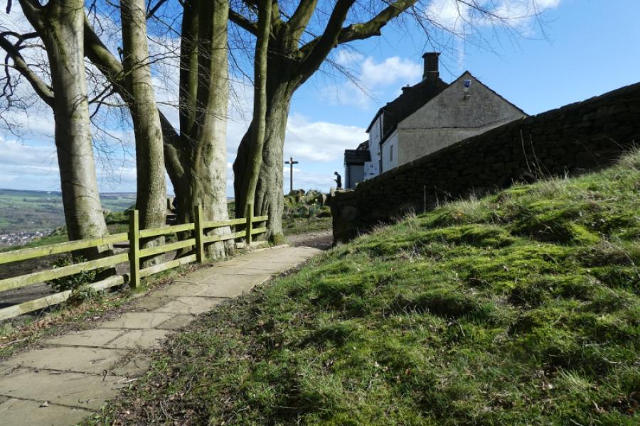
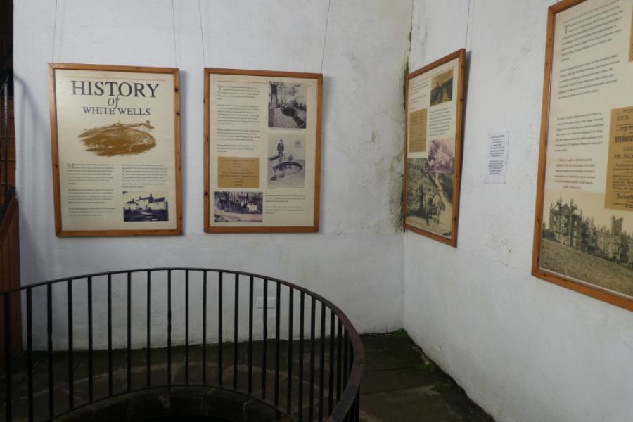
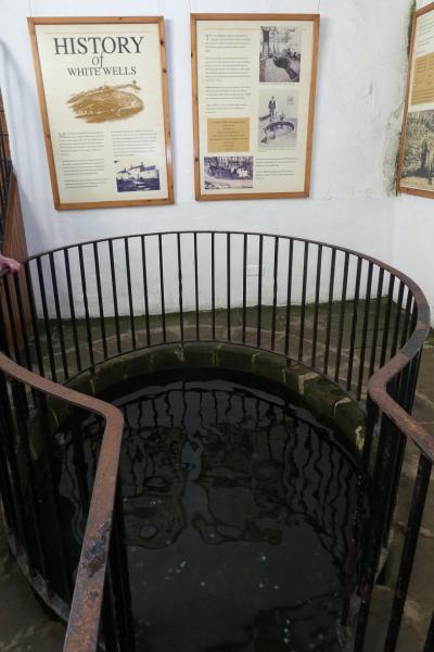
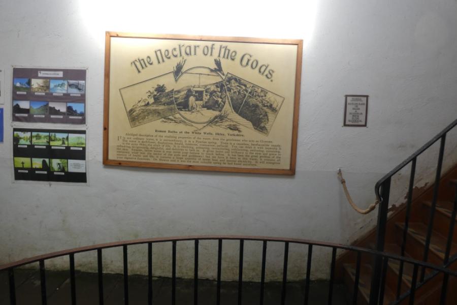
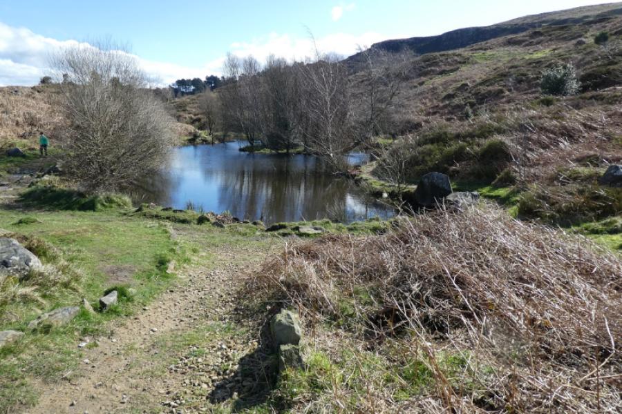
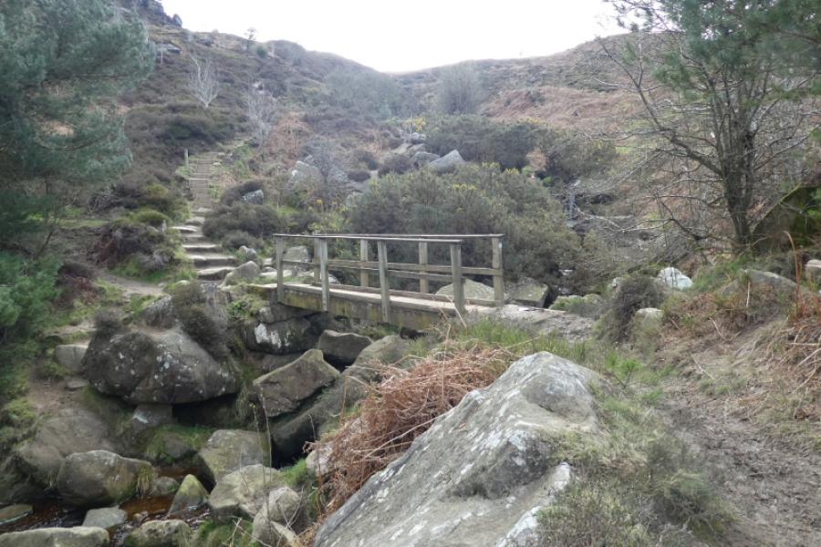
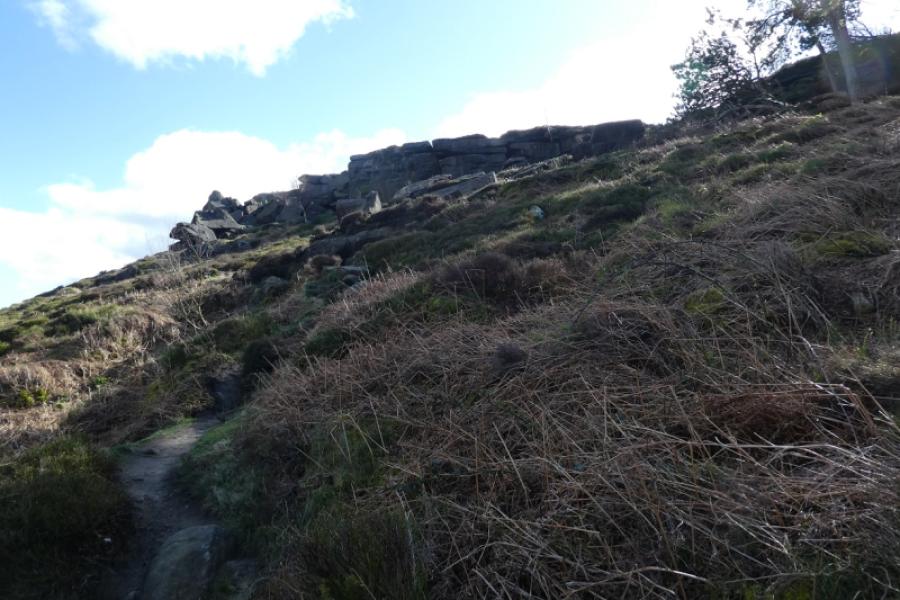
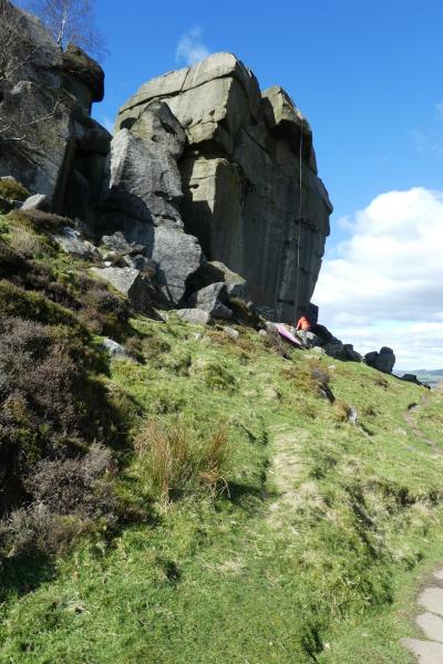
(1) From the White Wells car park, follow the obvious track up to White Wells, an old white cottage. The basic toilets are in a separate building before the cottage. The cafe provides simple meals and drinks and the old Bath House is part of the same building. There is a sign post giving the four points of the compass. Take the path descending roughly north east. Soon pass a small attractive lake on the right then continue further down to a larger attractive lake which is Ilkley Tarn (“The Tarn” on maps!). Walk along the side of the tarn then follow the path signed for the Cow and Calf. Follow this, boggy in places, to cross the bridge over Backstone Beck. After the bridge the path splits so take the left fork and follow this gently upwards towards the Cow and Calf Rocks. The path passes below the Cow and Calf on their northern side so you need to find the slabbed path heading roughly south from the Cow and Calf and passing well above the car park. Alternatively, carefully pick a way up through the rocky and bouldery slope before the Cow and Calf to reach the back of the Cow. It is easy to get onto the top of the Cow and the rock to its south but beware of the sheer drops on their eastern edges especially if you have young children with you. Pick a way down to the aforementioned slabbed path and follow it roughly south, passing the car park, to reach two benches looking north. Go right here to soon join a more obvious path heading roughly south east. You could also pick up this path by staying on top of the Cow and Calf rocks.
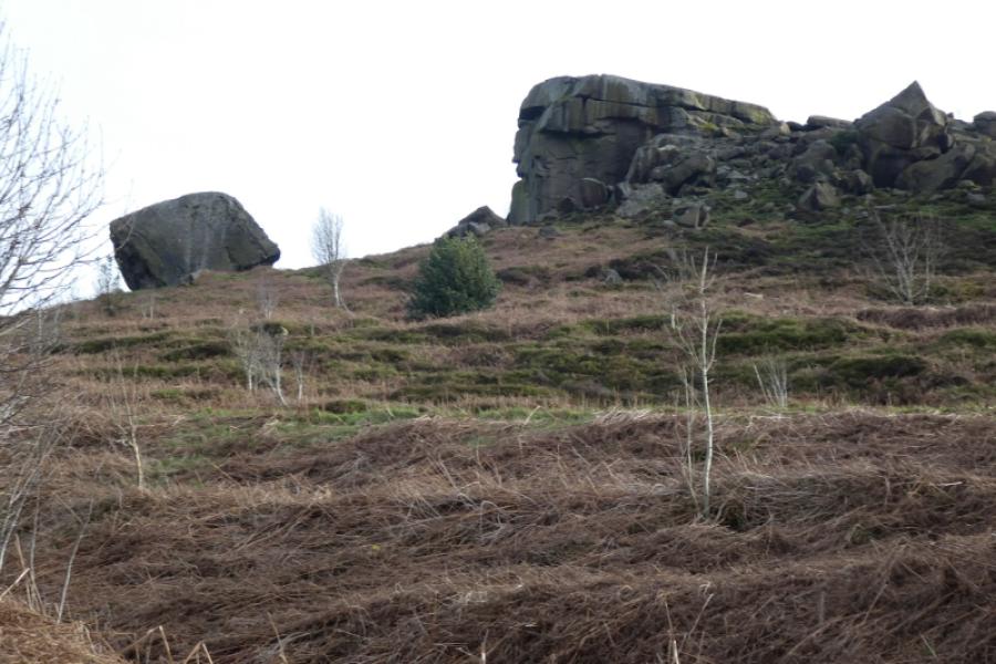
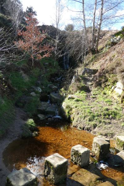
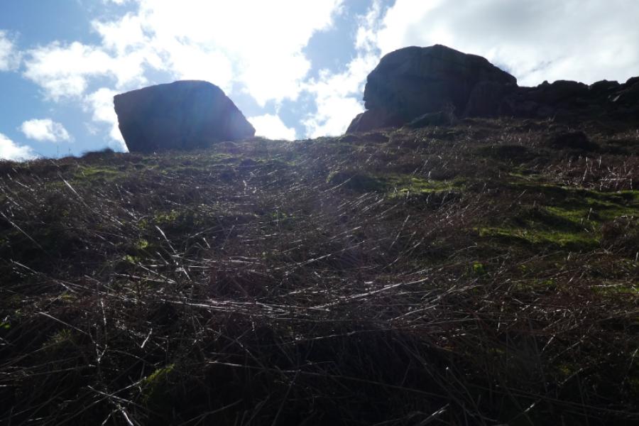
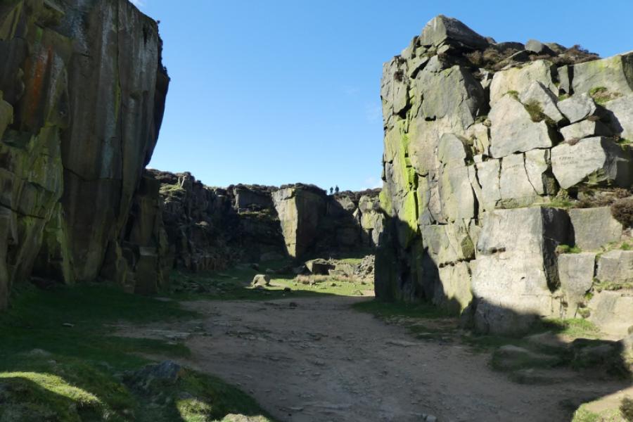
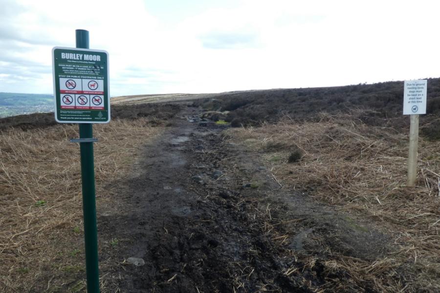
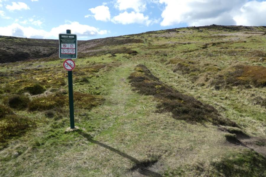
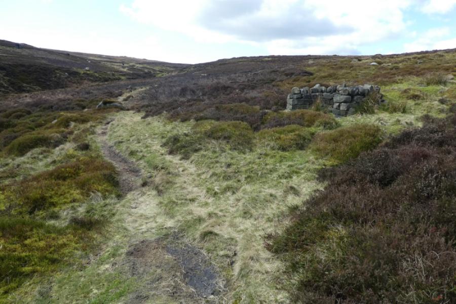
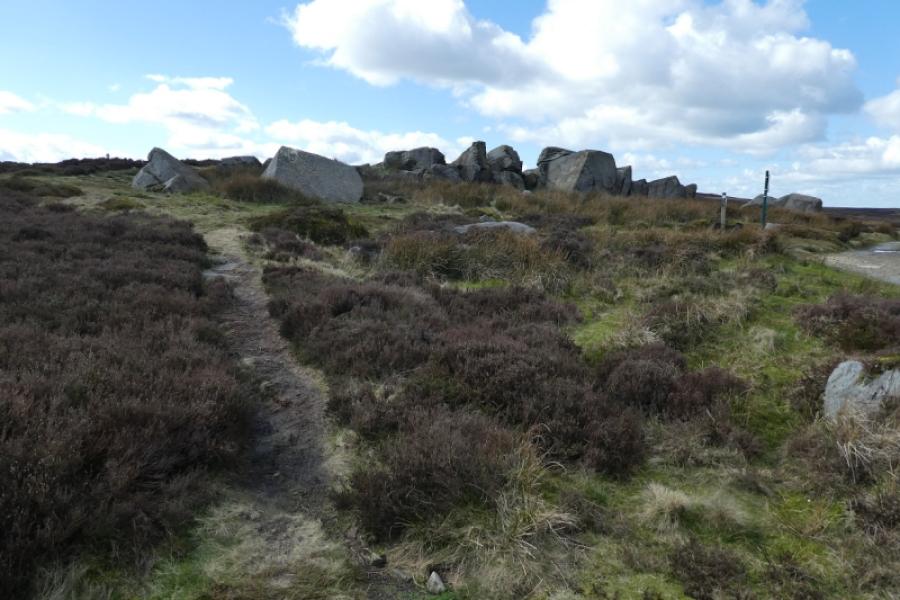
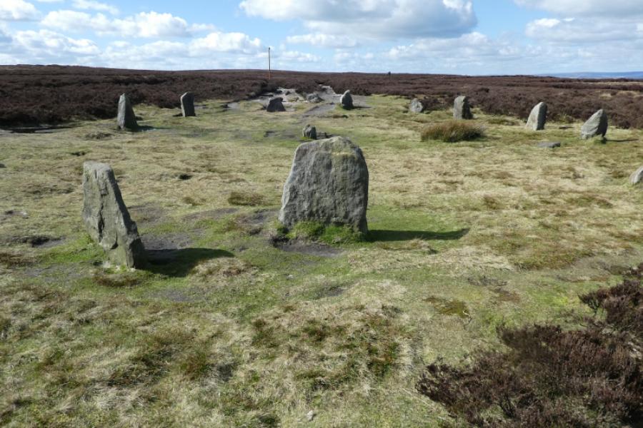
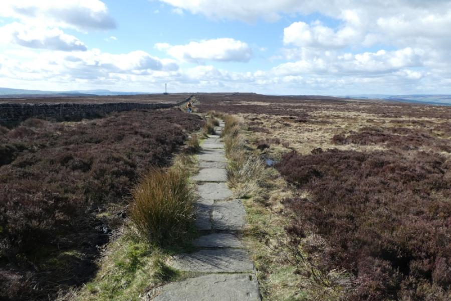
(2) Follow this path, passing the Cow and Calf Hotel on the road below. When the path starts to climb, the distinctive Pancake Stone (flat disc on its top) should be visible on the edge ahead. Leave the path and follow a fainter path towards the Pancake Stone. Pass under the stone then look for a faint path up onto the edge, actually the edge of the moor. Walk back a short distance to pass the Pancake Stone, not as distinctive from this position. Continue on the faint path to rejoin the path left a few minutes earlier. Further on, this path joins with a more major path, the Dales Way/Ebor Way. Continue, soon crossing a minor rocky stream. There are several outcrops on the edge where one can sit and admire the view. Continue and soon start following a wall. When the wall goes left at a corner, look for a nearby information board about Burley Moor then follow a faint path roughly west south west. This shadows a stream in a wide and obvious grassy gully. Several grouse butts are passed. Eventually, the path crosses this stream. Continue on a gradually improving track. Behind you is Lower Lanshaw Dam. Ahead, a rocky outcrop (unnamed) is fairly obvious in clear weather and will have been seen for some distance. Reach a new vehicle track near a large shed. The rocky outcrop is just across the track and offers good shelter from bad weather. Turn right onto the track and follow it past the rocky outcrop. High Lanshaw Dam should now be visible. Continue on the gently ascending track, roughly west, to where the Dales High Way track joins. A little further on, reach the 12 Apostles Stone Circle made up of small stones. It is no Stonehenge!
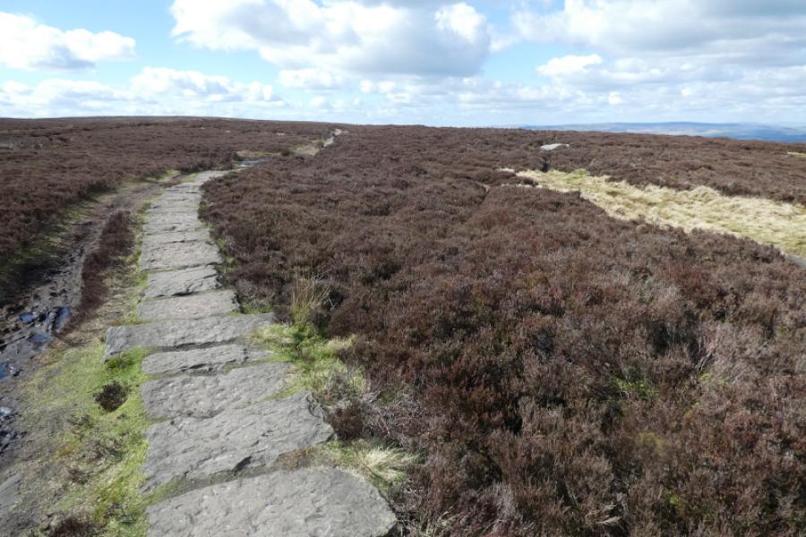
(3) Continue on the same track and look for a slabbed path soon going off left across White Crag Moss. This is before an obvious stone pillar which is actually an old boundary stone known as Lanshaw Lad. Follow the slabbed path west for almost 1 km to reach the trig point which is the highest point, 402 m, on Ilkley Moor.
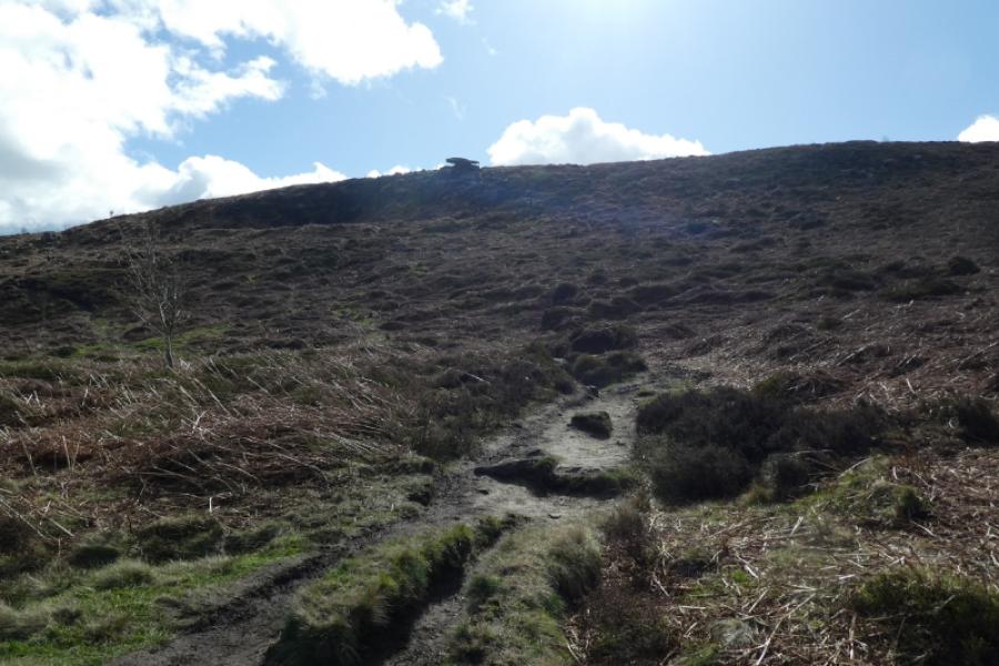
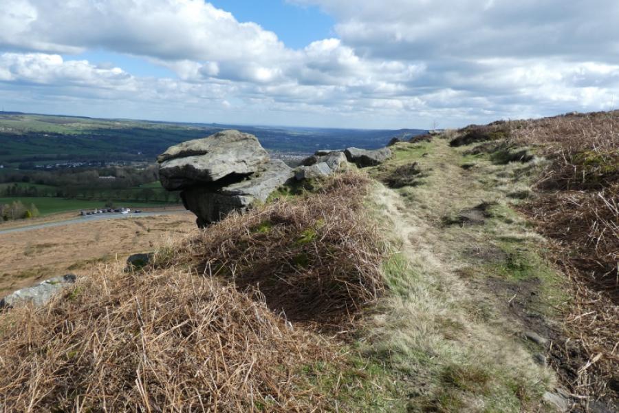
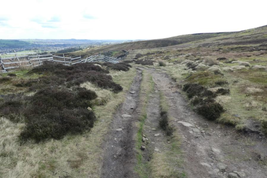
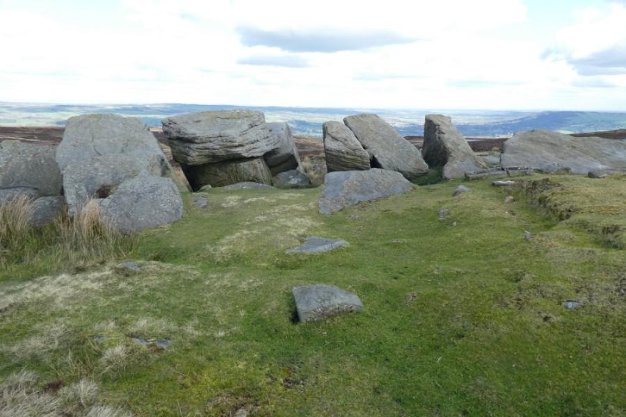
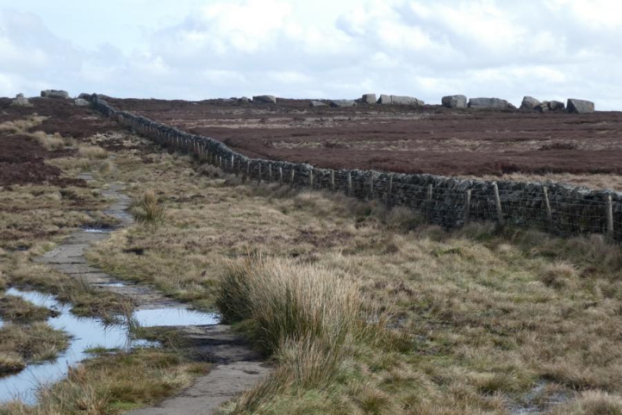
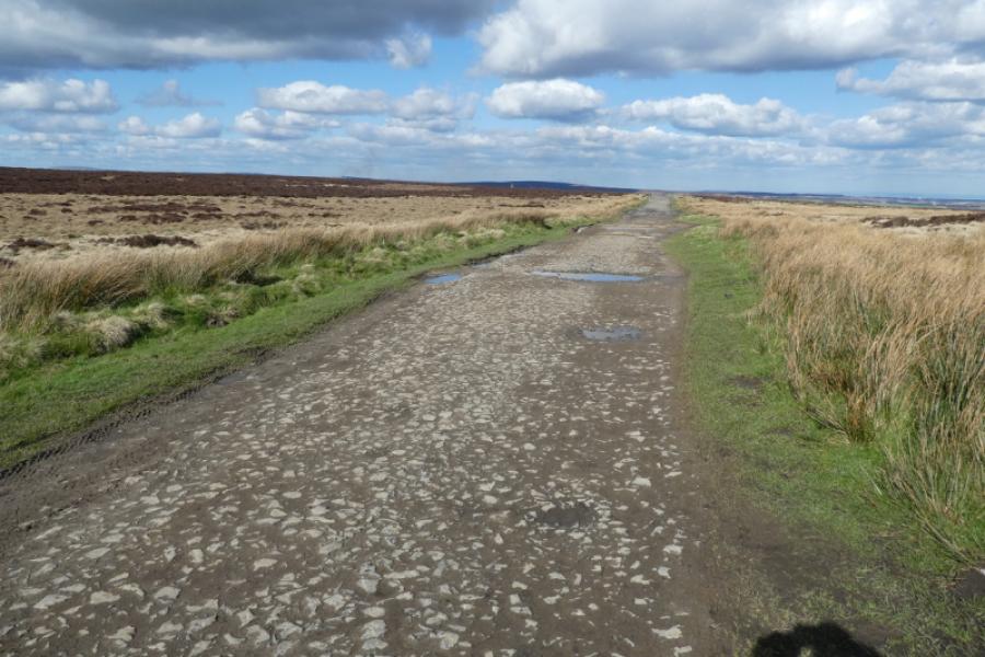
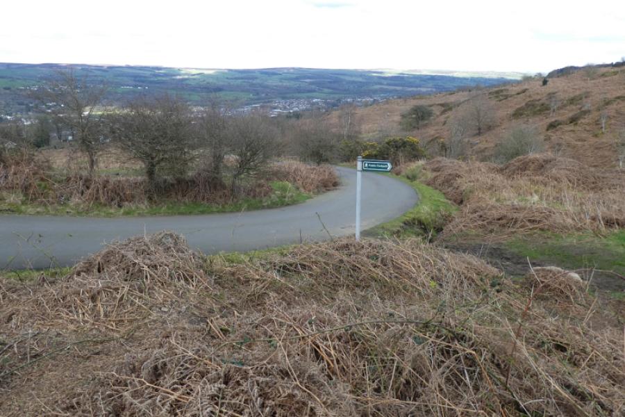
(4) Continue on the slabbed path to gradually converge with a wall where the the interesting Thimble Stones are with more of them over the wall. Unfortunately, there is no stile over the wall. Continue on the slabbed path, passing a telecommunications mast, before reaching Whetstone Gate where Ilkley Road (tarmac) continues as Keighley Road (track). Follow the descending track N, making a short detour left to Cowper's Cross which initially looks like another pillar. When the track curves to the right, continue to where a grassy track comes in from the left and a path goes off to the right just before a gully starts to develop on the right. That path, boggy in places, leads over to the Cow and Calf rocks and is not part of this route. Stay on the main track and follow it to a bend where the track goes left but a footpath (sign) continues ahead but more steeply. Follow the path down to where it splits. In dry conditions, continue ahead to reach a road which is the continuation of the track. In wet conditions, take the left fork path which is drier to join the same road higher up. Walk down the road which leads to the start of the rough track to the car park. Alternatively, ignore the first footpath off to the right which looks like it has to cross a deep gully and continue further down to where there is a parking bay on the right. From here, a path initially shadows the road before drifting right to join the White Wells track above the car park. If this path is missed, look for a gravel one a little lower which the above path would join anyway.
Notes
(a) This walk took place on 5th April, 2024.
Photos - Hover over photo for caption. Click on to enlarge. Click on again to reduce.