Get Lost Mountaineering
You are here: England » North Yorks Moors & Coast
Staithes to Saltburn Coastal Path
Staithes to Saltburn Coastal Path
Start/Finish
Staithes village which is about ten miles north west of Whitby. There is a car park above the village however this option would need two cars. Without such a luxury, it is best to park in Saltburn then catch the bus to the lane end above Staithes. There are car parks in Staithes but parking is free on the top promenade if you can find a space. The buses, service X4A in 2024, usually run every 30 minutes with the journey taking about 35 minutes and costing £2 for those who have to pay. The buses leave from the glass verandah in Station Square which is close to the railway station for those who wish not to use cars.
Distance/Time
16 km About 4 – 5 hours
Peaks
No peaks as this is essentially an edge walk but there are “ups and downs”.
OL 27, 1:25 000, North Yorks Moors Eastern Area.
Introduction
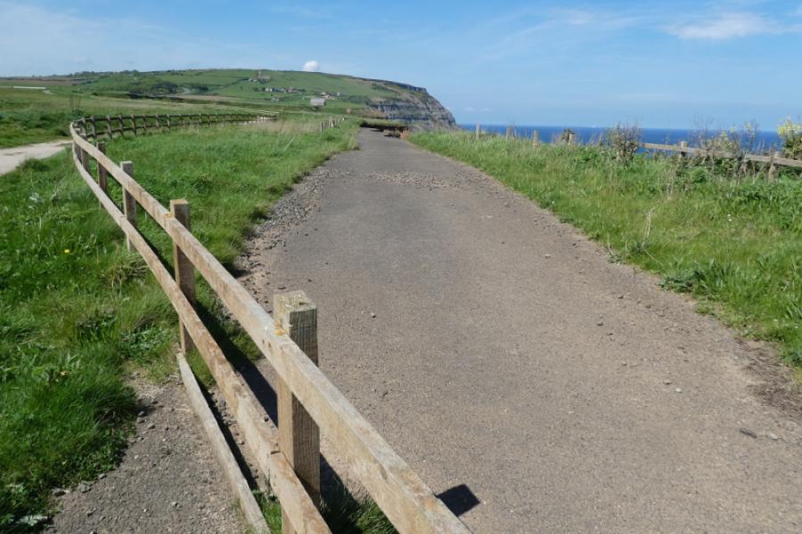
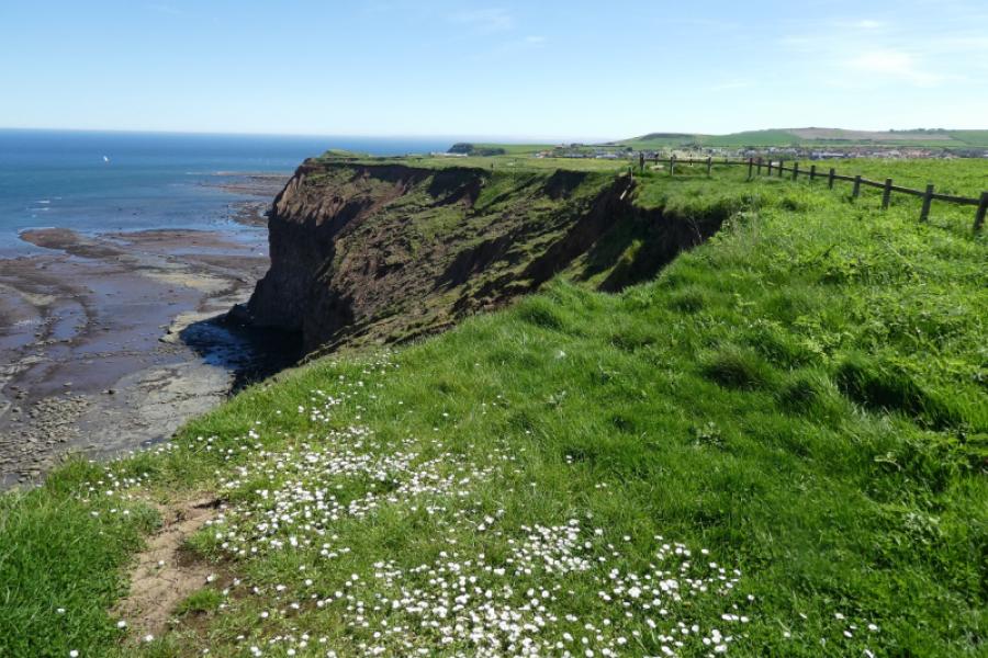
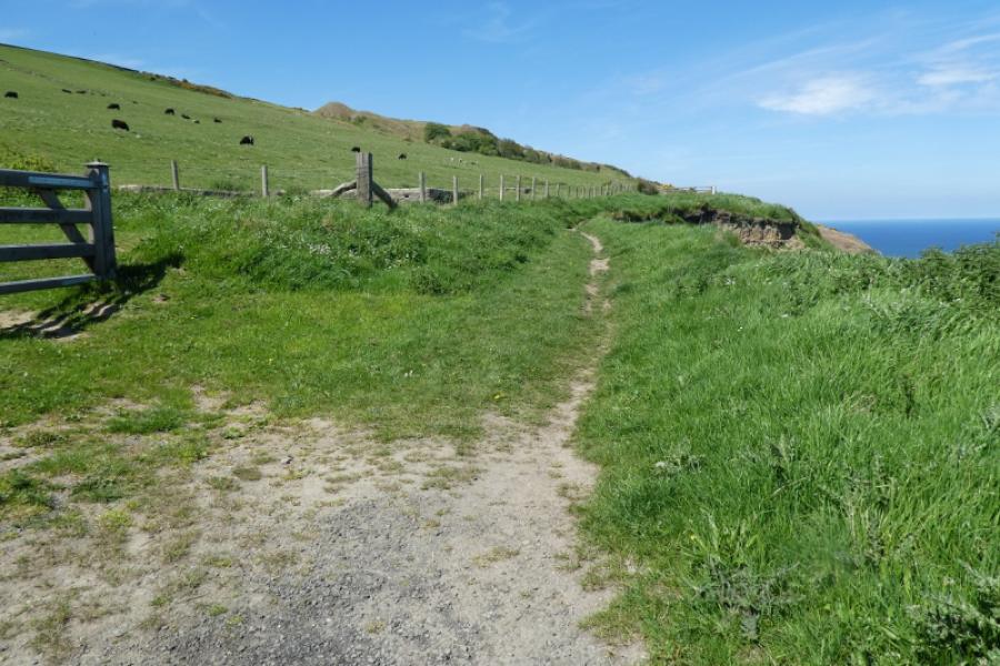
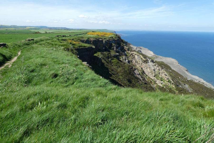
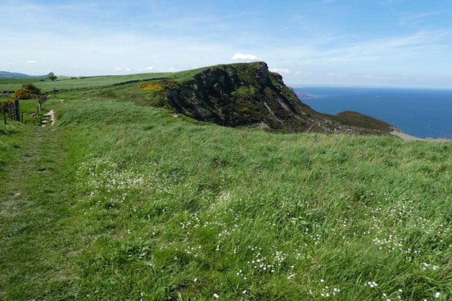
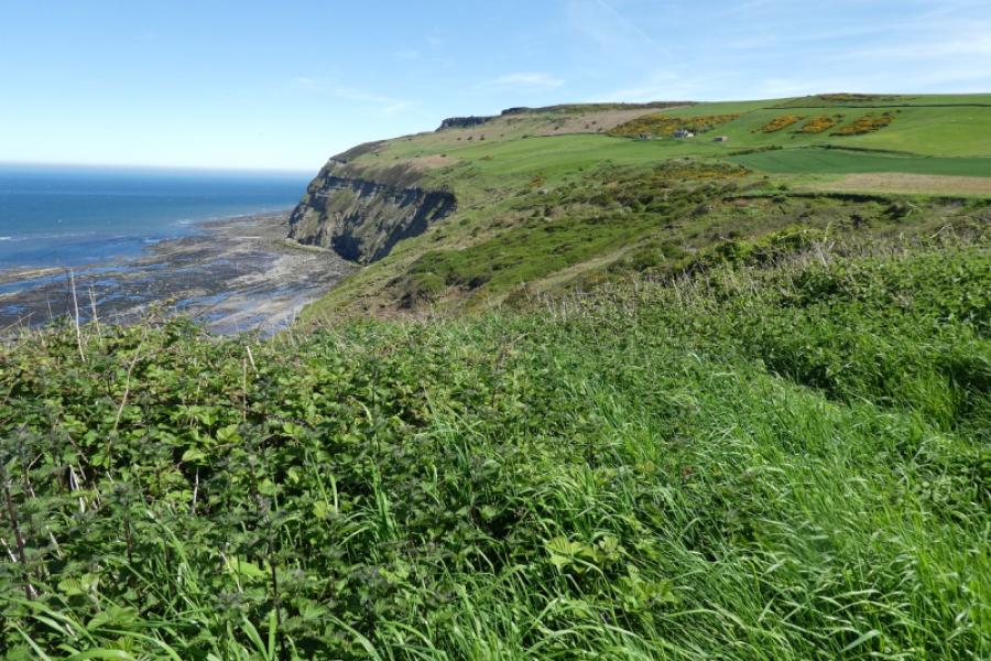
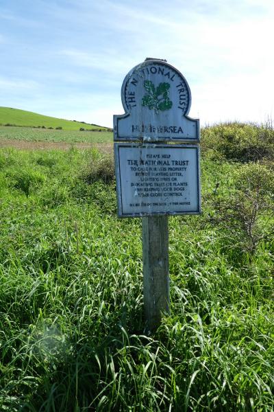
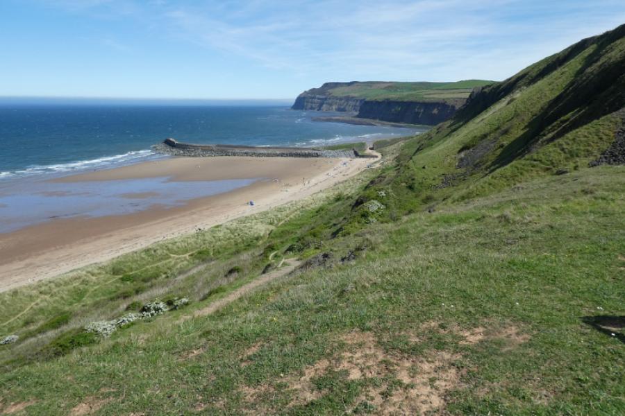
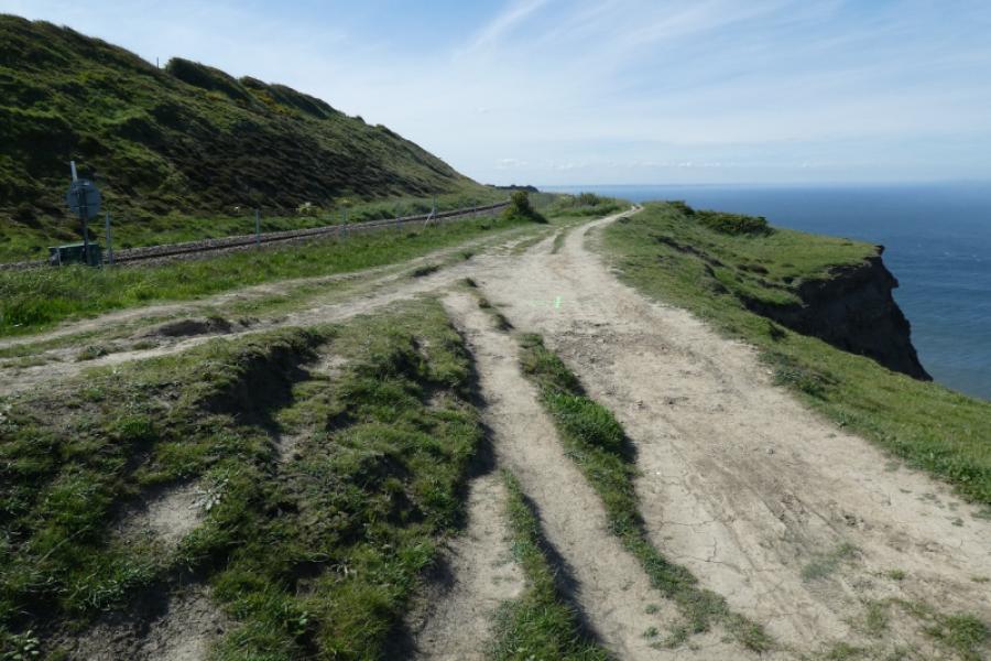
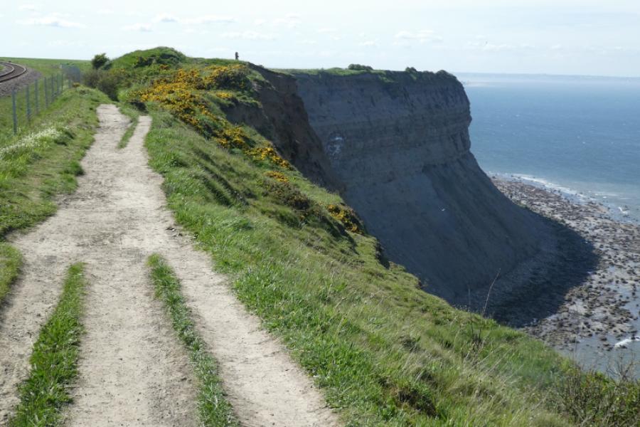
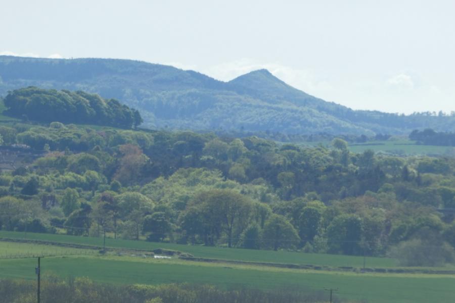
The North Yorkshire Coast is dramatic with many cliffs and rocky beaches. Unfortunately, it is eroding rather quickly as the exposed rock is very soft and crumbly. The Cleveland Way runs along much of the coast and this route uses much of it. Navigation is relatively straightforward (keep the sea on your right!!). The Cleveland Way is well signed throughout but, in places, it has been diverted inland as some sections have fallen into the sea, especially near Staithes. Note that there are considerable drops off the edge of the cliffs and there are few fences to keep you from the edge so exercise care especially with young children. Paths frequently go off the Cleveland Way then go over the edge which add to the danger for the unwary. Even where the ground seems grassy and slopes down towards the sea, be aware that it eventually turns into a cliff which is not seen from above.
Route
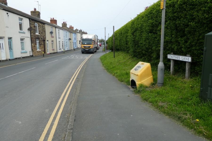
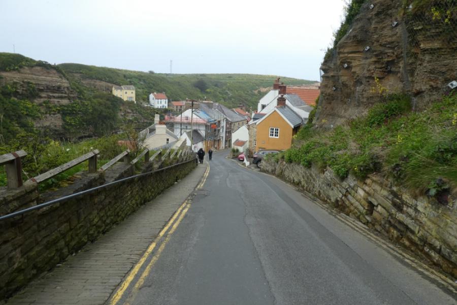
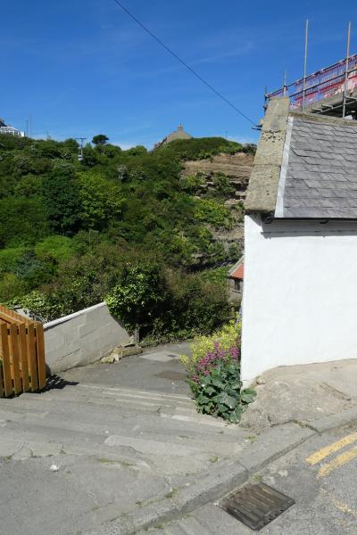
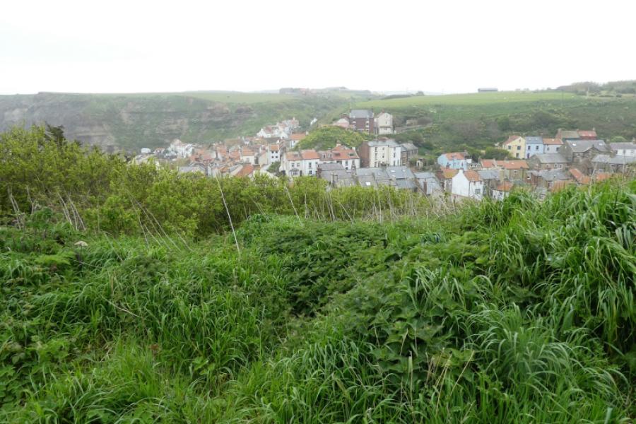
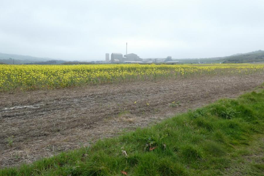
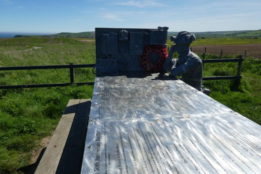
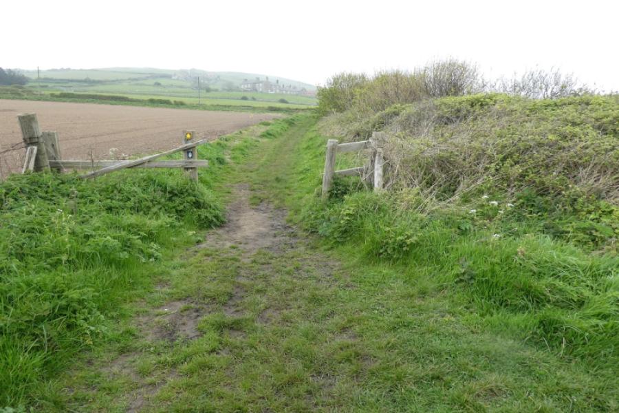
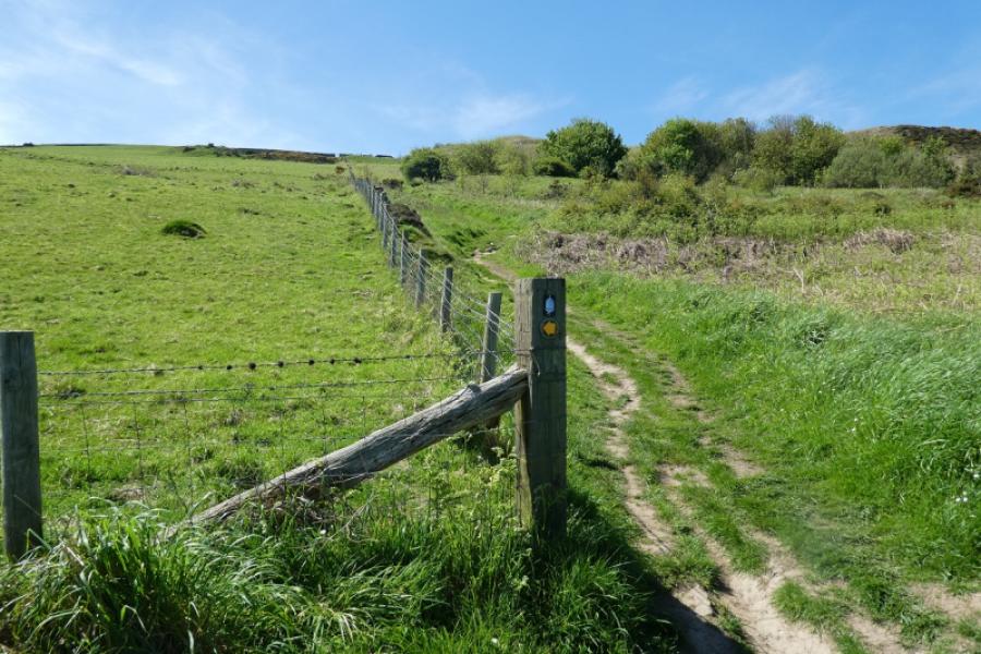
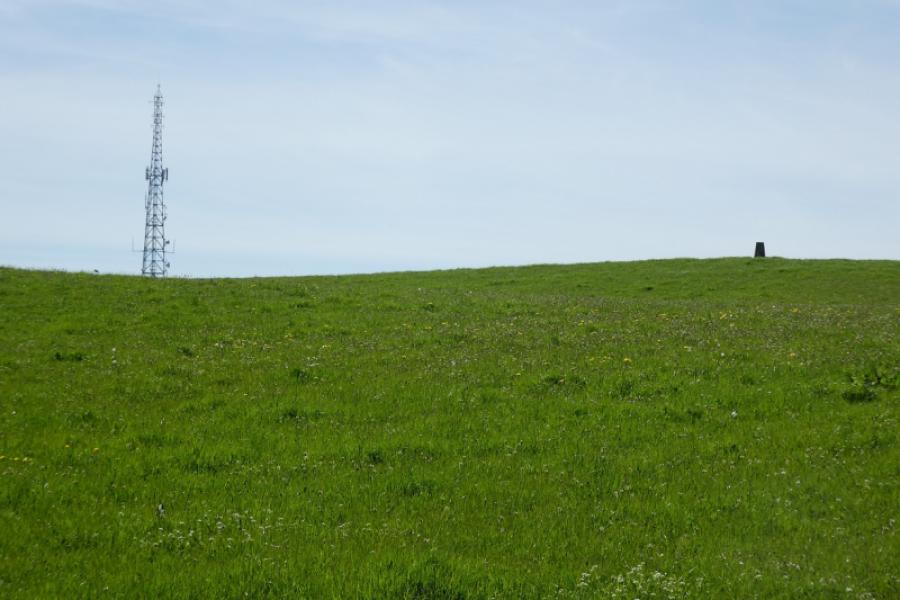
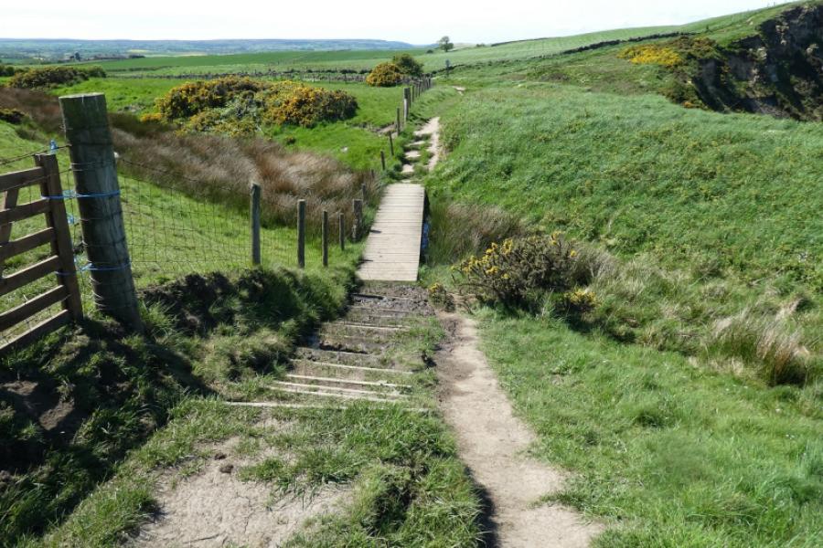
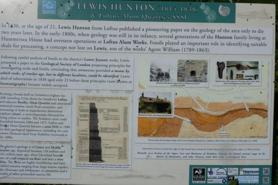
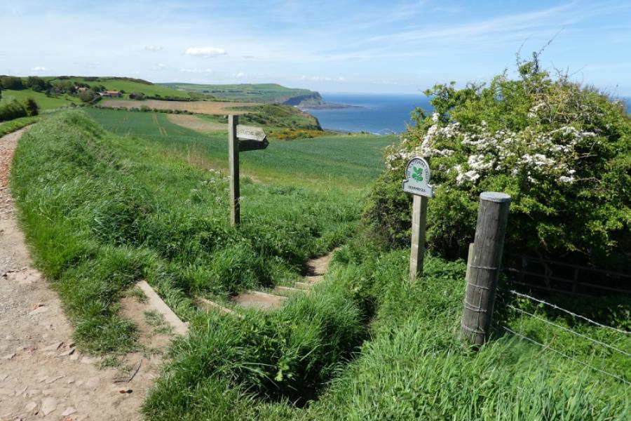
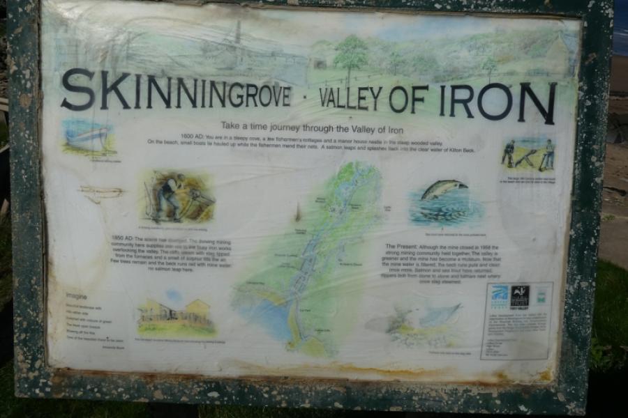
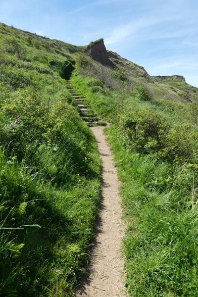
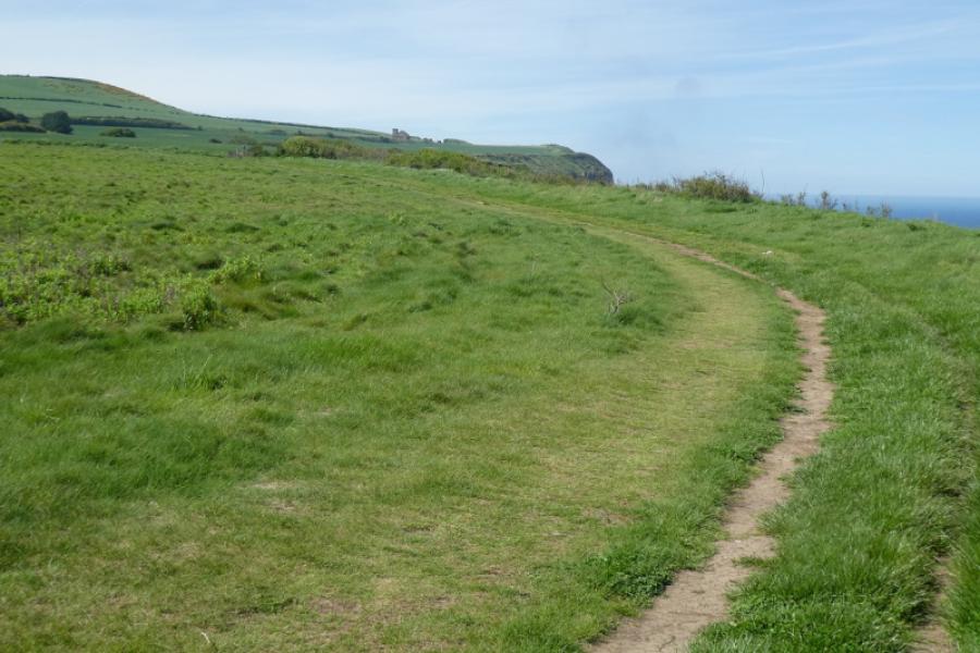
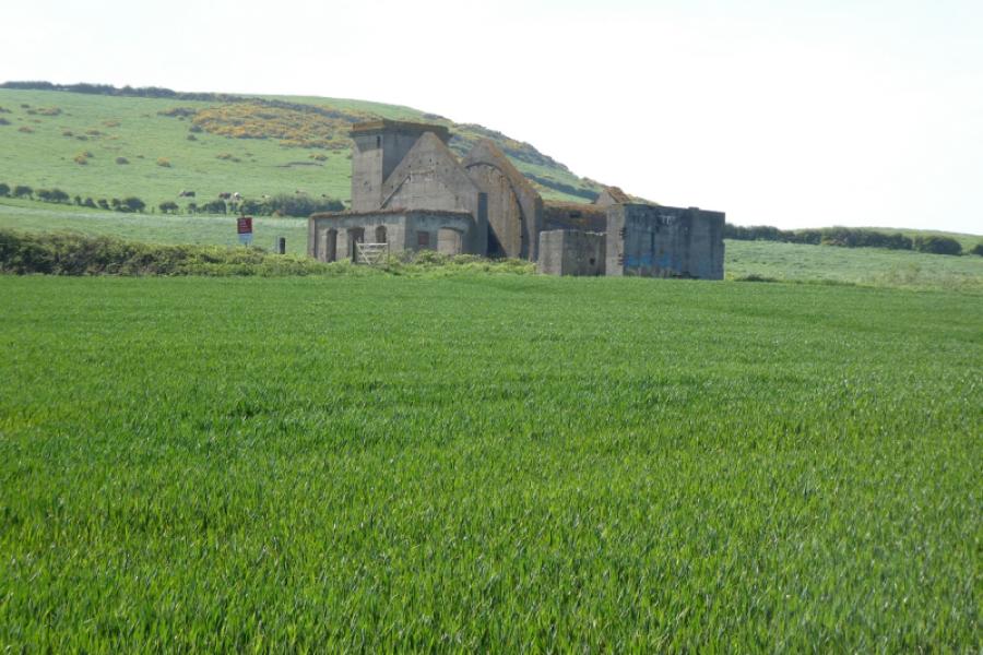
(1) Catch the bus to Staithes. It will drop you off on the main road just after the lane down into Staithes village. The lane goes past a large car park where there are toilets, gift shops and a cafe. Continue down until a path forks off left by a white house. Follow this path to the bridge over the river. Alternatively, stay on the lane and go into Staithes then double back to the bridge. Cross the bridge and go left, steeply uphill, on the road, enjoying views down to Staithes. When the road flattens out, follow the Cleveland Way sign. The path is actually a narrow tarmac road here but it is soon fenced off because sections have fallen into the sea. The Cleveland Way diversion is well signed so continue and you will see where the road has collapsed. Continue and notice the Boulby Mine complex well off to the left. Continue and reach the Miner's Memorial bench. Continue and reach a very minor road which passes a few houses (postbox) before becoming a grassy path. Further on, the path turns left and ascends to cross a headland. Soon after an aerial and trig point are visible off to the left which is about the highest point on the walk. Further on, a sign where Loftus Alum Quarries used to start is passed. Further on, the path starts to descend, heading for Skinningrove. A gate signifies the end of the quarries and a hamlet is reached with an information board. Soon after the path leaves the track and continues descending towards Skinningrove. The final part of the descent is steeper but on steps.
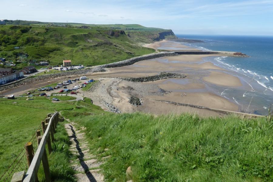
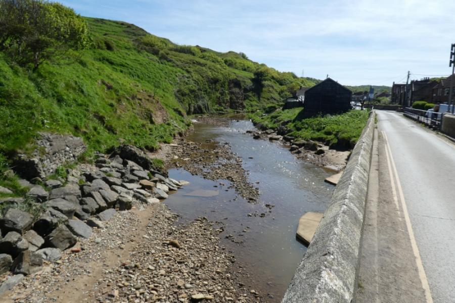
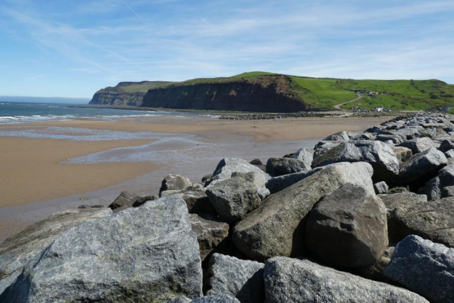
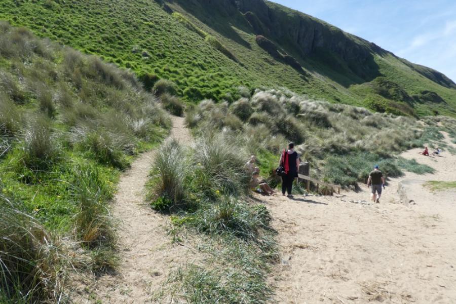
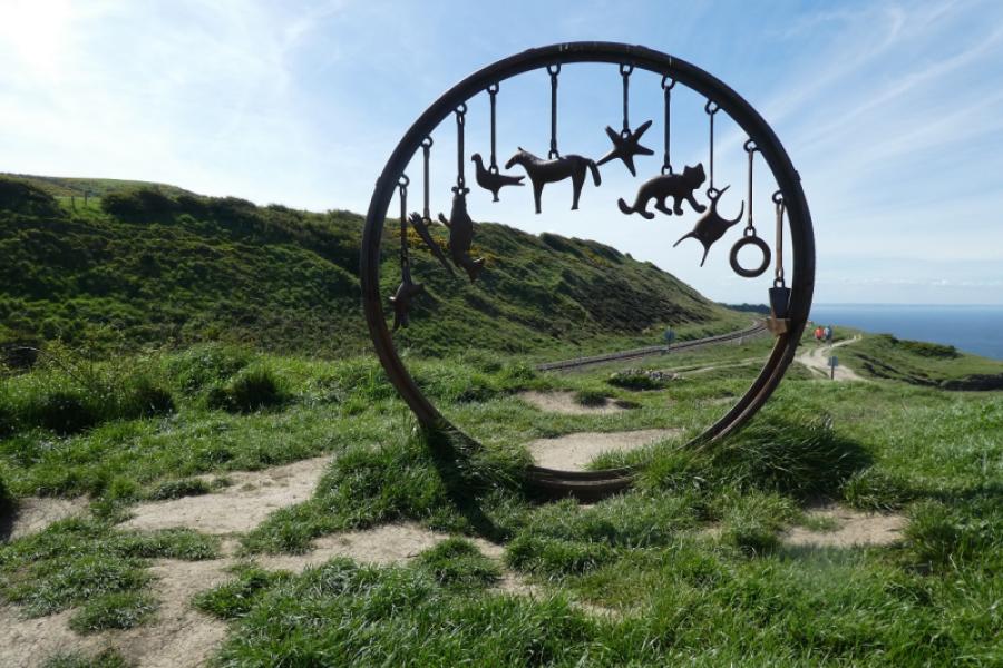
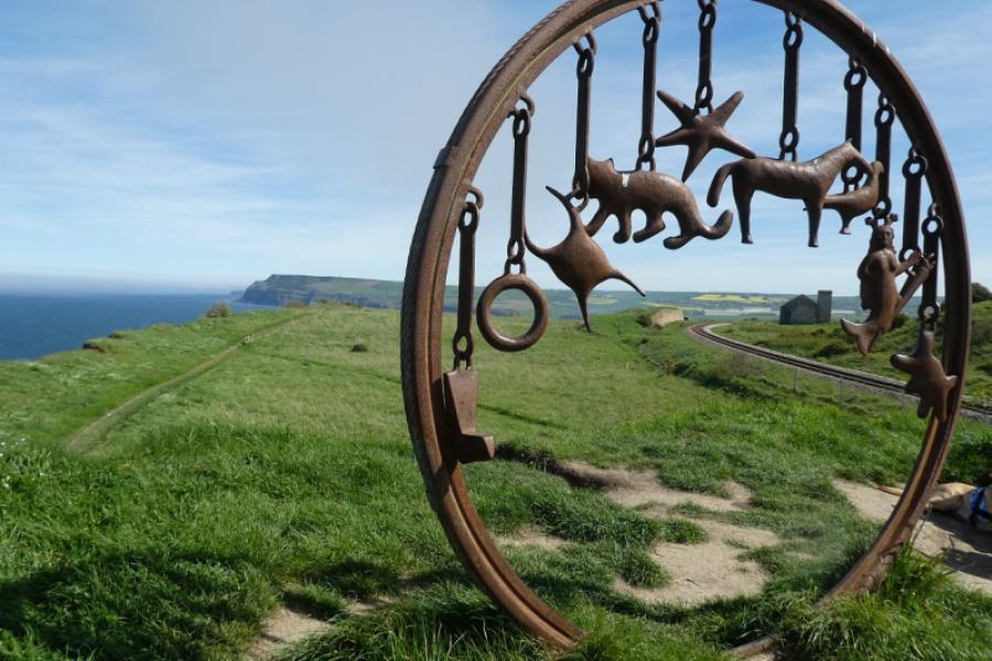
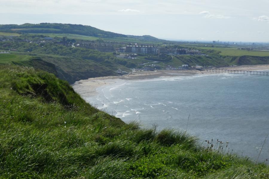
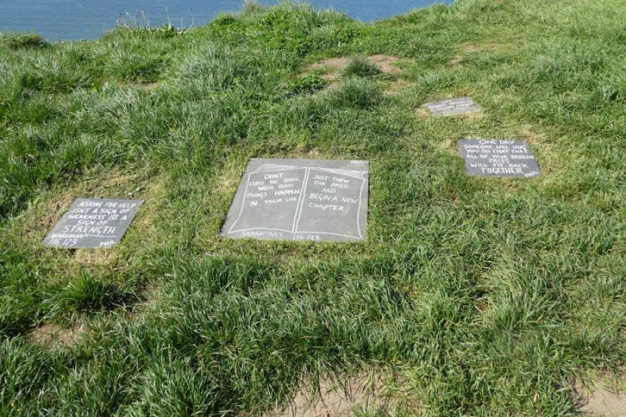
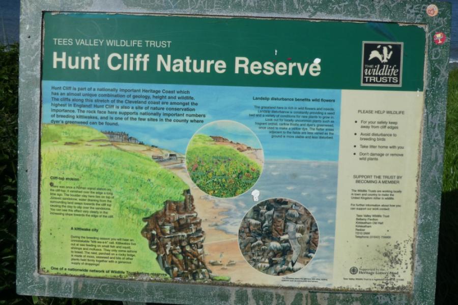
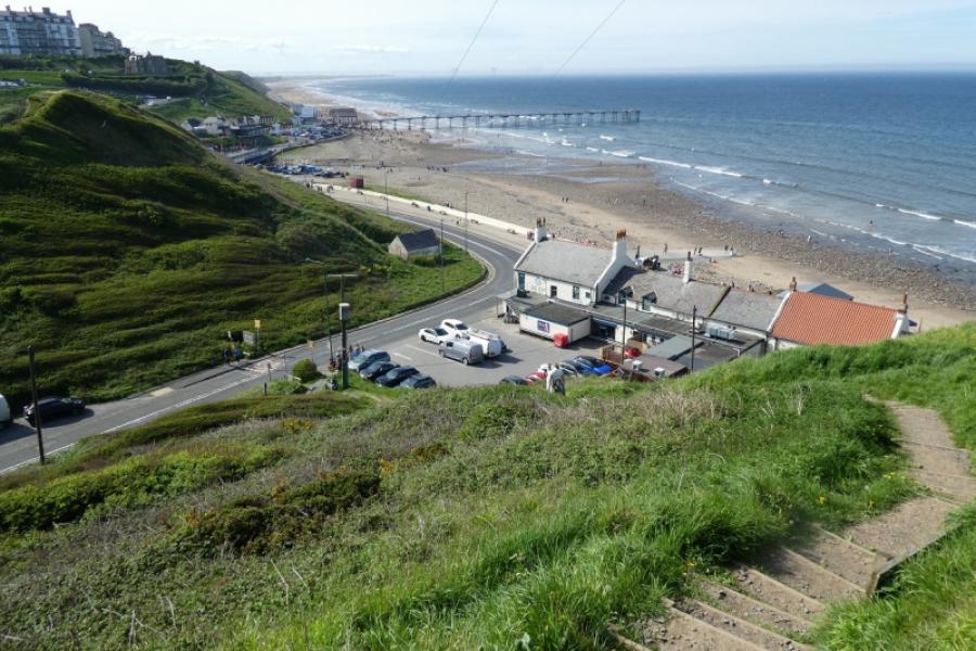
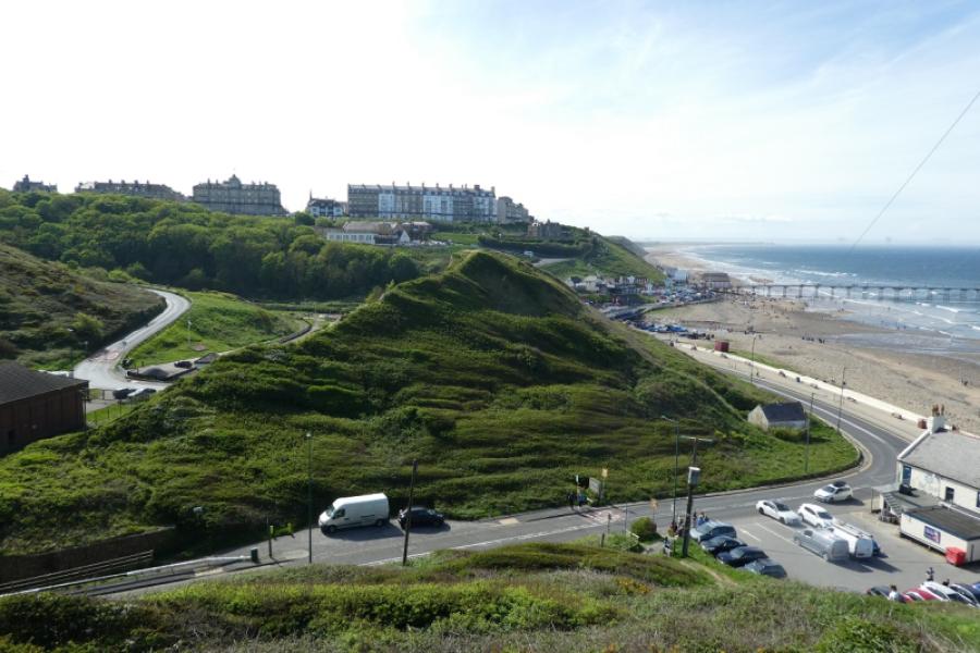
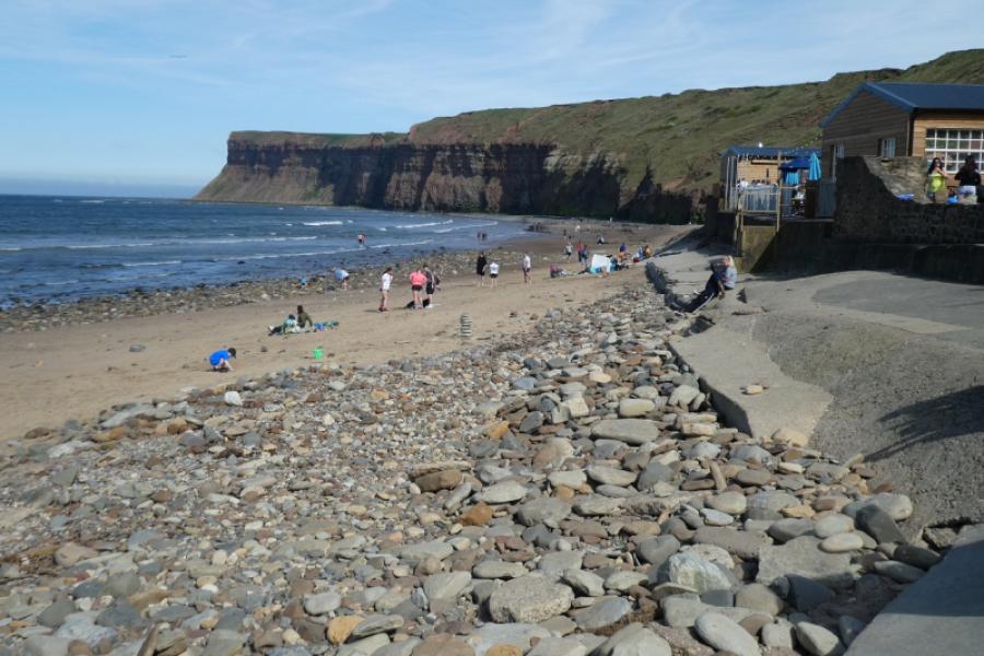
(2) At the bottom, turn left and follow the road/pavement, over the river, before turning right where there are some toilets if needed. Walk along the sea front towards the old jetty. Immediately after going under the jetty, take a faint sandy path (not signed) through the sand and grass. This leads to steps which take one onto the cliff edge. Turn right at the top, gently uphill. Continue and an old ruin with a tower will be seen ahead. Pass this (it can be visited by a short obvious detour) and reach a circular metal “sculpture”. You are now by an active railway. Continue ahead to soon reach a mound which has a chain like metal sculpture on it. This is just off the main path on a minor path which loops back to the main path, passing another metal sculpture. Continue to reach the information board for Huntcliff Roman Signal Station. About here, the drops off the cliff edge are particularly dangerous and there are several notices from the Samaritans. Soon, if not already, Saltburn will come into view and the path descends gently until the steep steps which take one to the road by the Ship Inn. Turn right for Saltburn beach and the town.
Notes
(a) This walk took place on 4th and 11th May, 2024.
(b) On a hot, sunny day in the summer, Saltburn can be very busy and it may take time to find a parking space.
Photos - Hover over photo for caption. Click on to enlarge. Click on again to reduce.