Get Lost Mountaineering
You are here: England » North Yorks Moors & Coast
Whitby to Staithes Coastal Path
Whitby to Staithes Coastal Path
Start/Finish
Staithes village which is about ten miles north west of Whitby. There is a car park above the village where a car can be left. One then walks back to the bus stop on the main road and catches the bus to Whitby.
Distance/Time
17 km About 4 – 5 hours
Peaks
No peaks as this is essentially an edge walk but there are many “ups and downs”.
OL 27, 1:25 000, North Yorks Moors Eastern Area.
Introduction
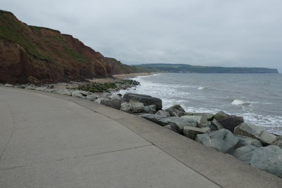
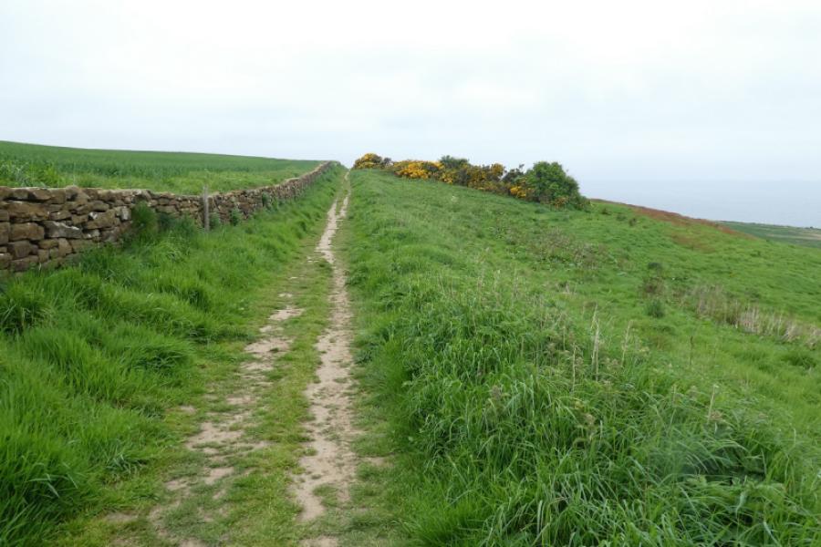
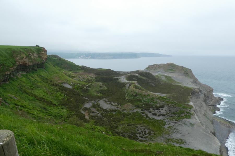
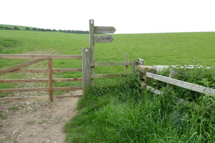
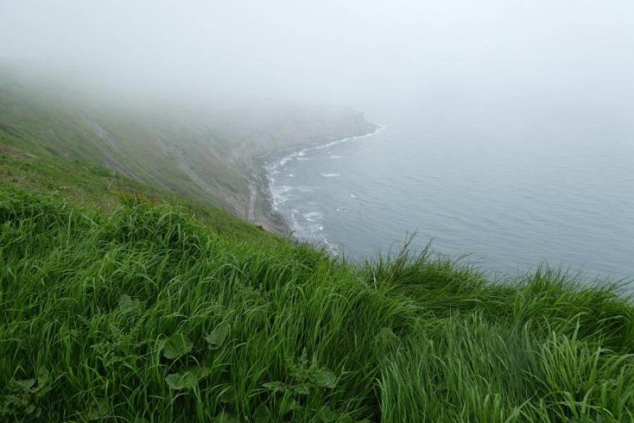
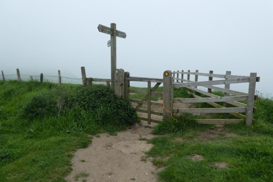
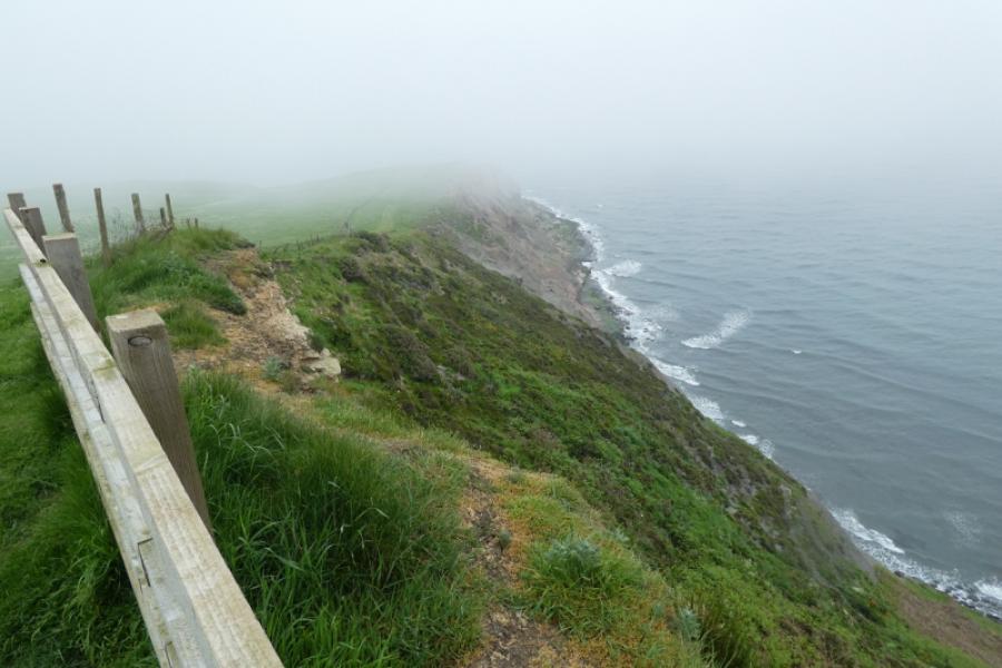
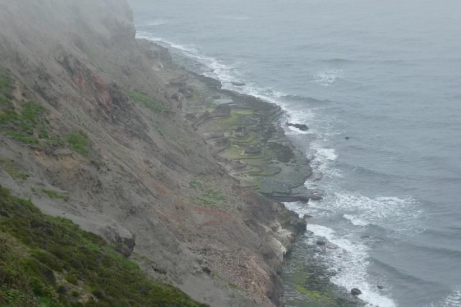
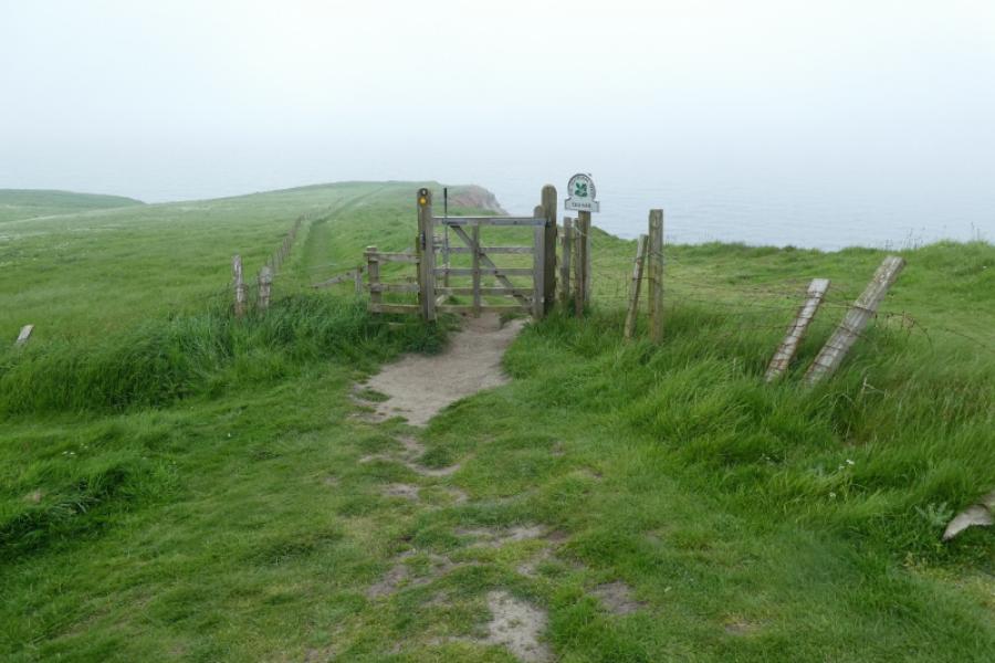
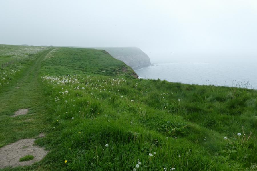
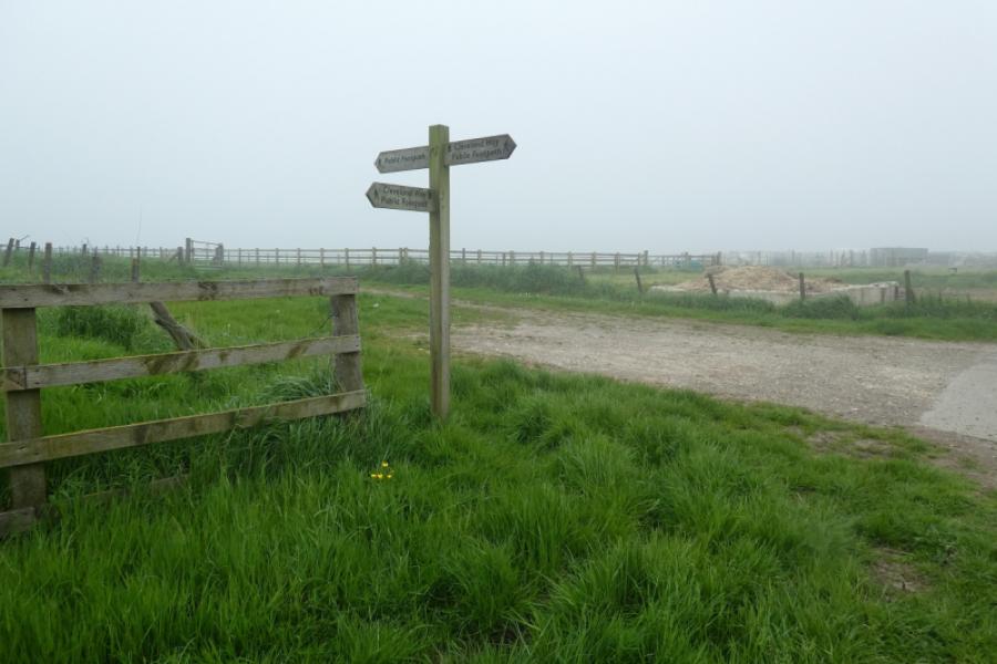
The North Yorkshire Coast is dramatic with many cliffs and rocky beaches. Unfortunately, it is eroding rather quickly as the exposed rock is very soft and crumbly. There are considerable drops over the cliffs which are not always fenced off so extra care would be needed with young children. The Cleveland Way runs along much of the coast and this route uses much of it. Navigation is relatively straightforward (keep the sea on your right!!). There are signs much of the way but there are a few places where some are needed. Runswick Bay Beach may not be accessible during a very high tide and possibly the beach between Whitby and Sandsend.
Route
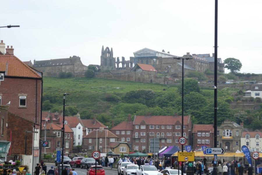
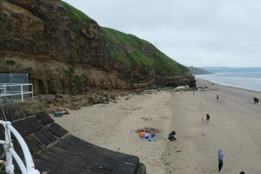
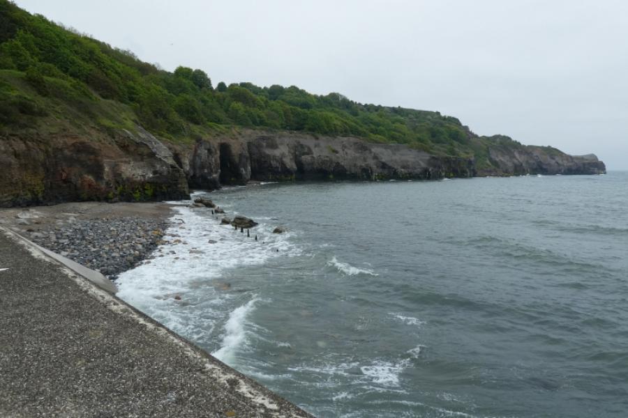
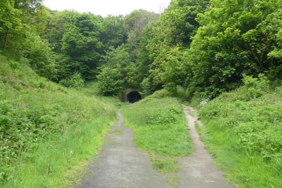
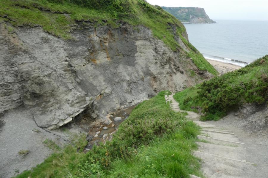
(1) From Whitby bus station, walk past the railway station and continue towards the sea keeping the river on your right. When the fence above the sea is reached, follow it left and walk along the beach towards Sandsend. This avoids the detour around the golf course if the Cleveland Way is followed. However, if the tide is high, the beach may not be accessible and you may have to retreat a short distance to pick up the Cleveland Way which roughly follows the top of the cliffs. After about 5 – 6 km, reach Sandsend. Stay on the pavement above the sea and go through a car park to climb some steps above which is an old railway coach. Turn right and follow the path to reach a closed tunnel. Ascend the many steep and often slippery steps to reach open ground and continue along the tops of the cliffs to eventually reach Kettleness where there are houses and a farm.
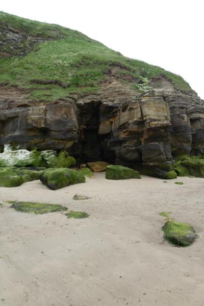
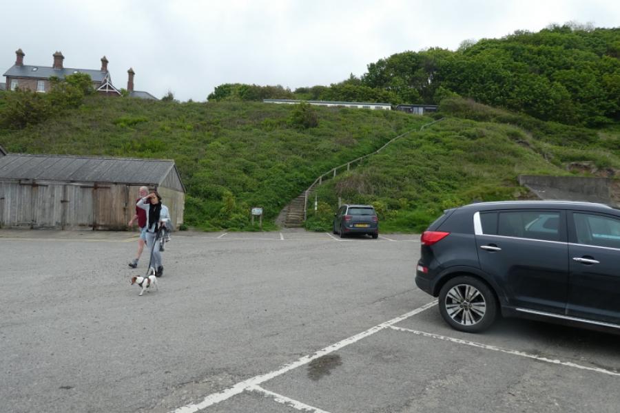
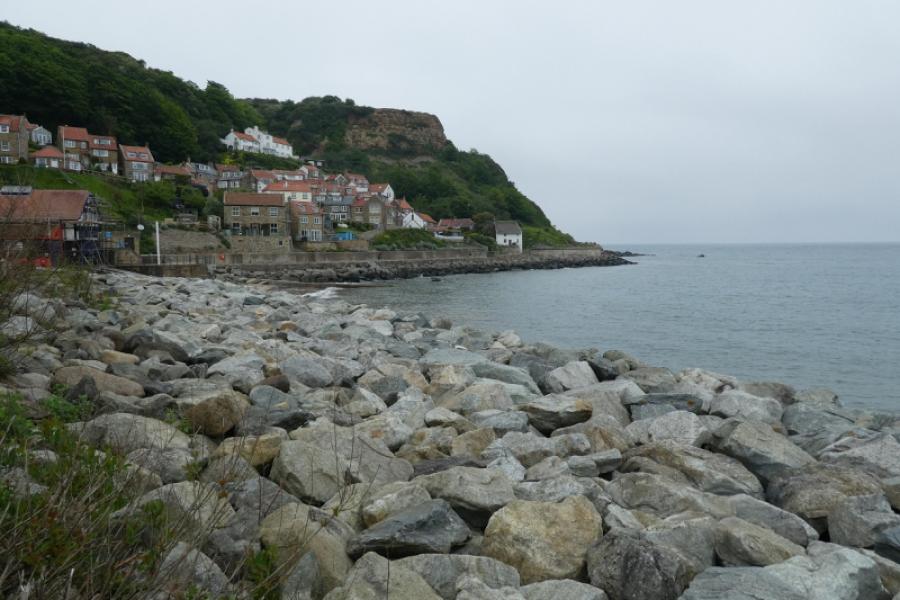
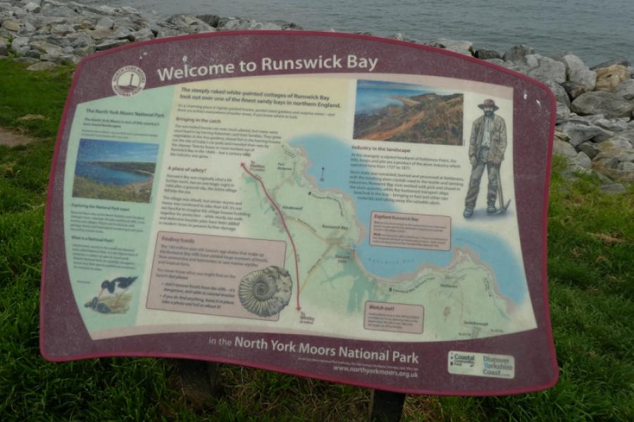
(2) Continue on the path and go round a deep cut inlet. Runswick Bay should now be in sight. Continue on the path along the top of the cliffs until a steep stepped descent leads into a small gorge. Cross the bridge and carefully pick a way along the left hand side over slippery rocks to reach the beach of Runswick Bay. Walk along the beach (not possible at high tide), passiong some eye catching “arches” cut into the cliffs, to reach the lower village part of Runswick Bay. Refreshments may be available here. Reach the road and walk steeply uphill until the Cleveland Way goes into a minor road on the right (opposite the sailing club car park). Follow the minor road to its end and continue on a path which soon climbs steeply to reach the upper part of Runswick Bay at a car park. Follow the road to where The Cleveland Way goes right a whie pub. Follow the path to reach Port Mulgrave where there is a long row of terraced houses off to the left.
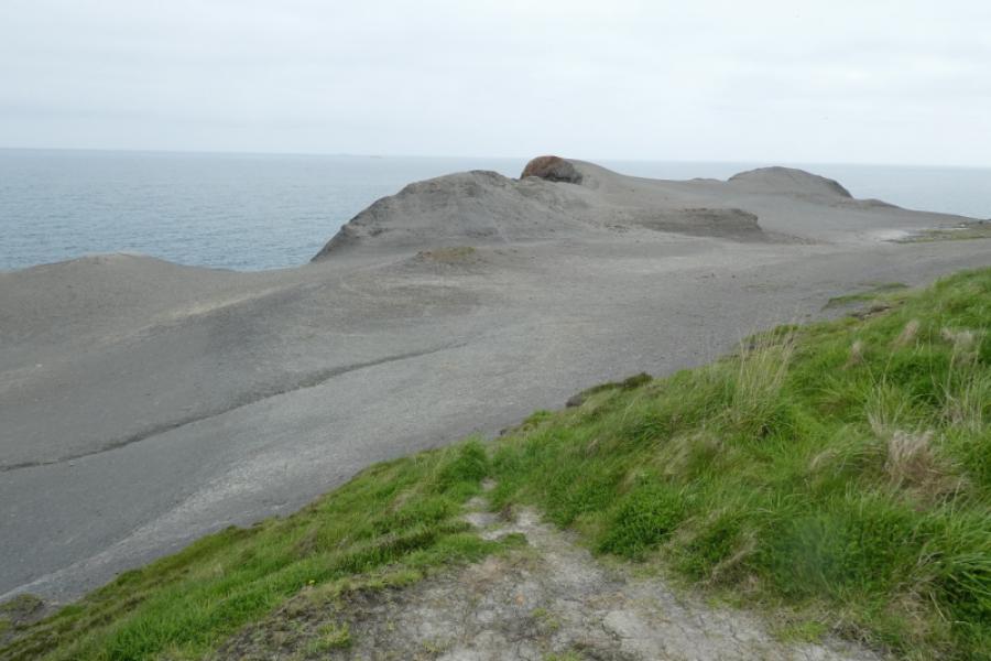
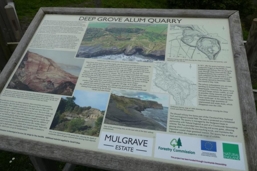
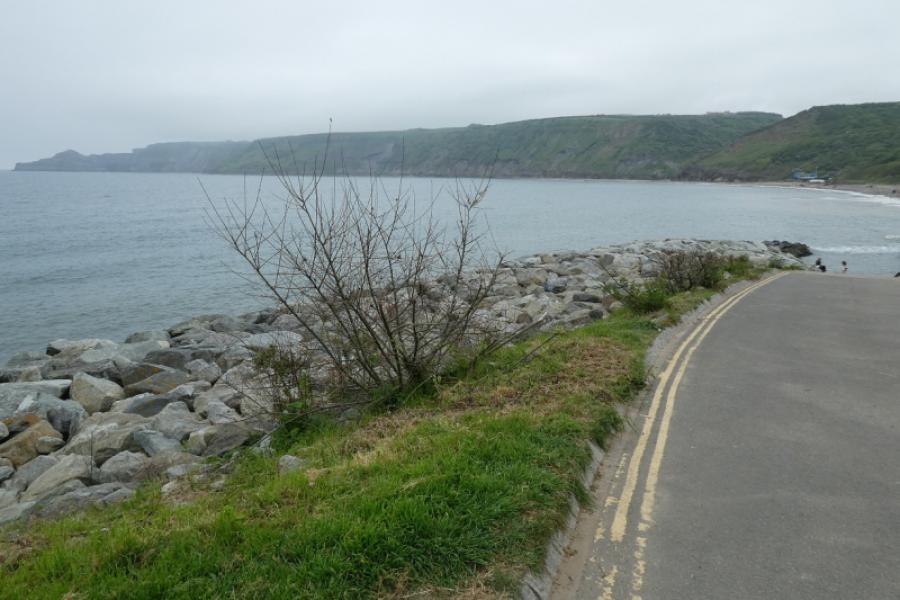
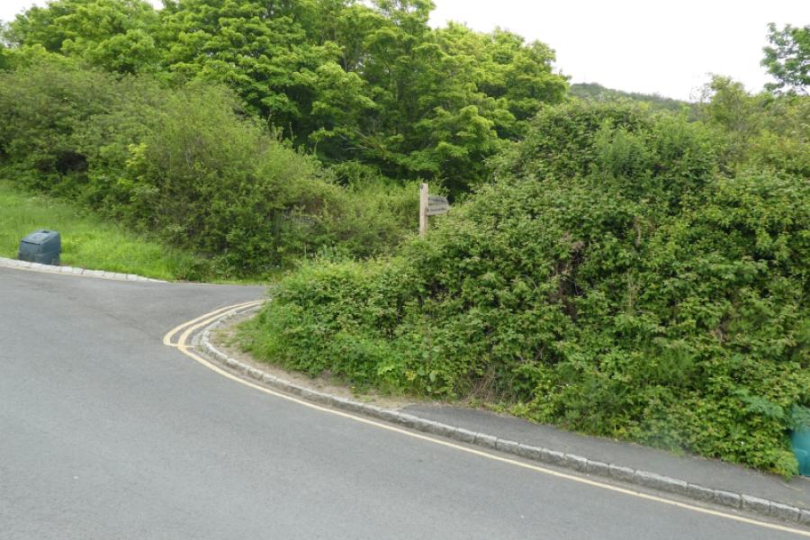
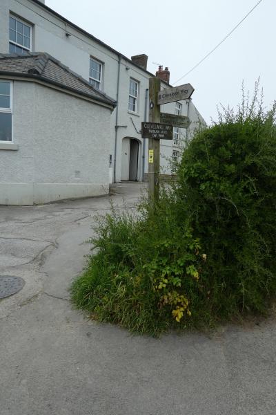
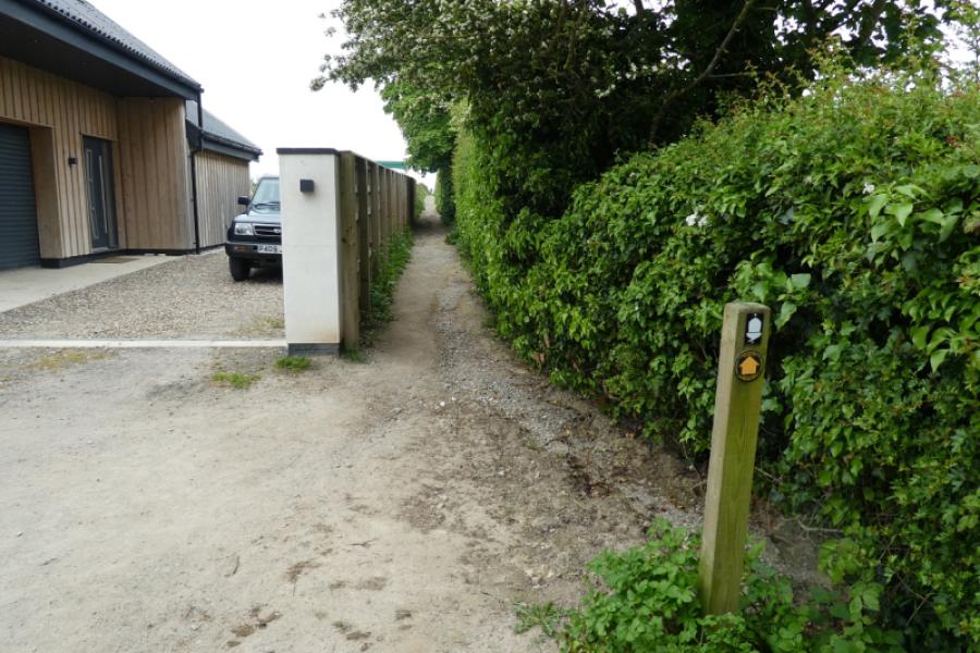
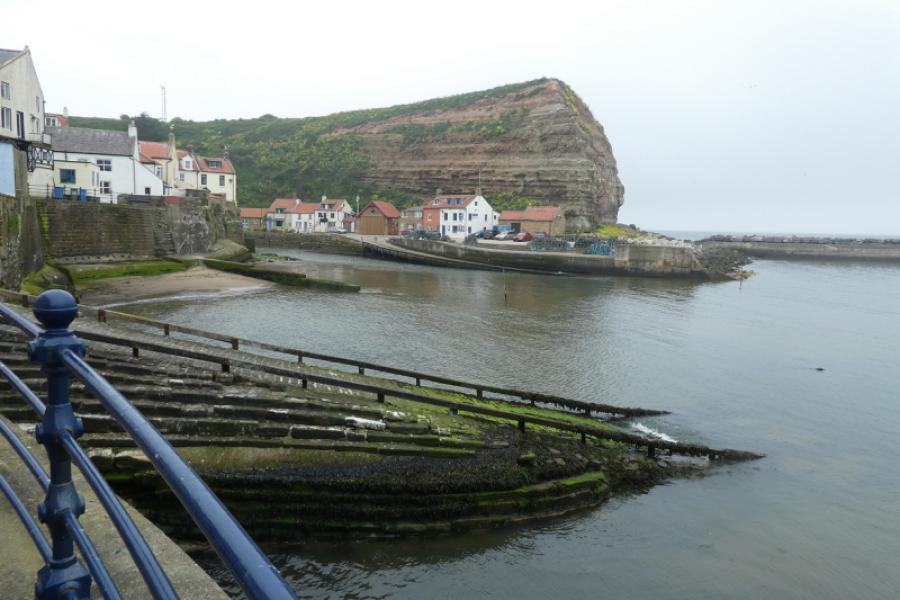
(3) Reach a road and turn right then take the signed Cleveland Way path. Follow this along the edge of the cliffs until it turns left to reach a farm. Turn right and soon descend steps to reach the top of a steep lane of houses which leads down to the sea front. Turn left at the sea front and follow the road through the village then up, steeply in places, to reach the car park.
Notes
(a) This walk took place on 19th May, 2024.
Photos - Hover over photo for caption. Click on to enlarge. Click on again to reduce.