Get Lost Mountaineering
You are here: England » Humberside and Holderness Coast
Spurn Point from Spurn Discovery Centre (updated 11/7/26)
Spurn Point from Spurn Discovery Centre
Start/Finish
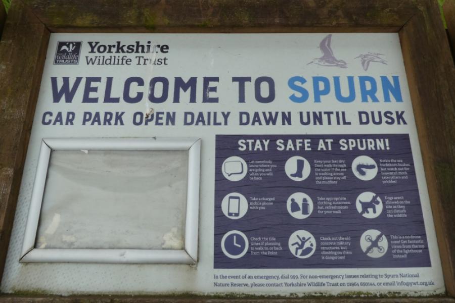
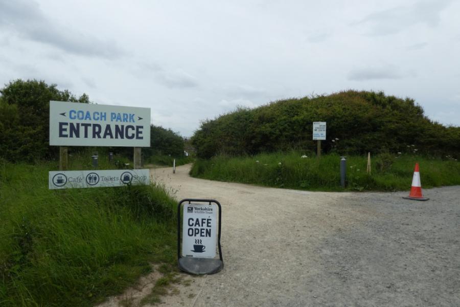
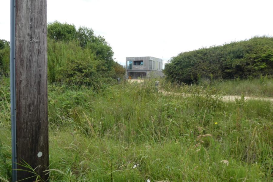
Spurn Discovery Centre car park, HU12 0UH, which is near the village of Kilnsea. (£5 per day in 2026)
Distance/Time
13 km (more if much wandering around done at The Point) About 4 hours
Peaks
No peaks as this is essentially a seaside walk.
Landranger 113, 1: 50 000, Grimsby, Louth & Market Rasen.
A map isn't really needed for this walk as navigation is simple and straightforward.
Introduction
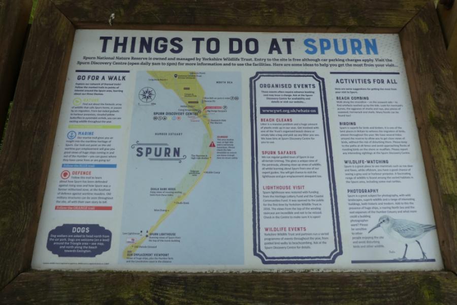
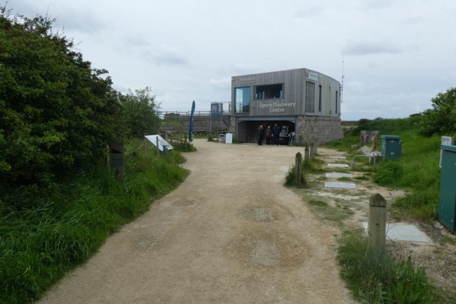
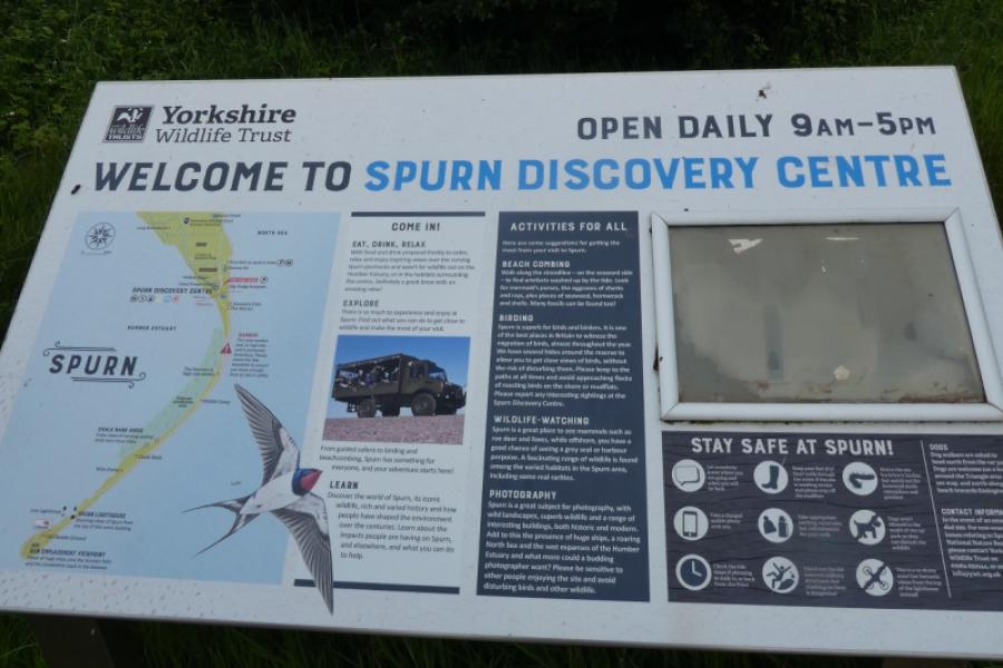
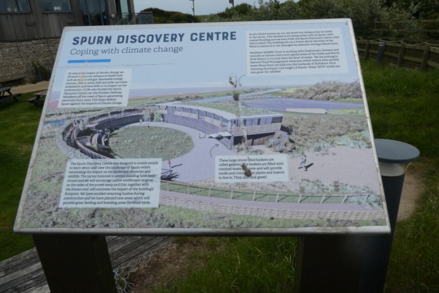
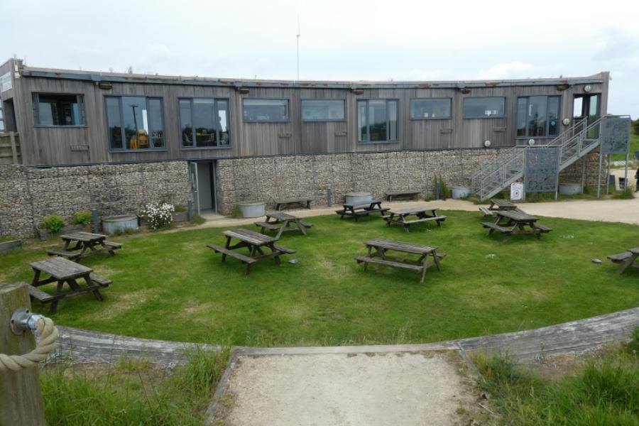
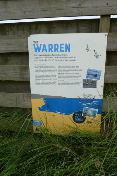
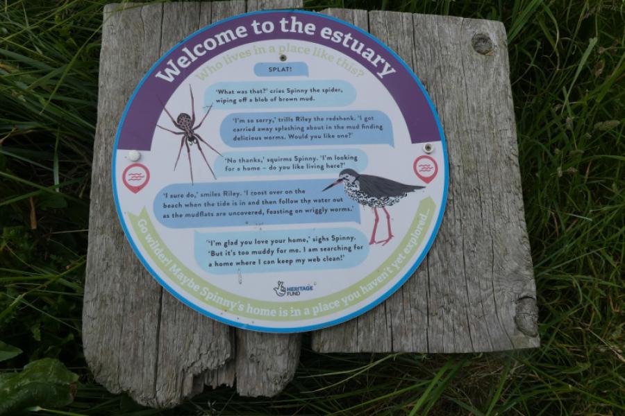
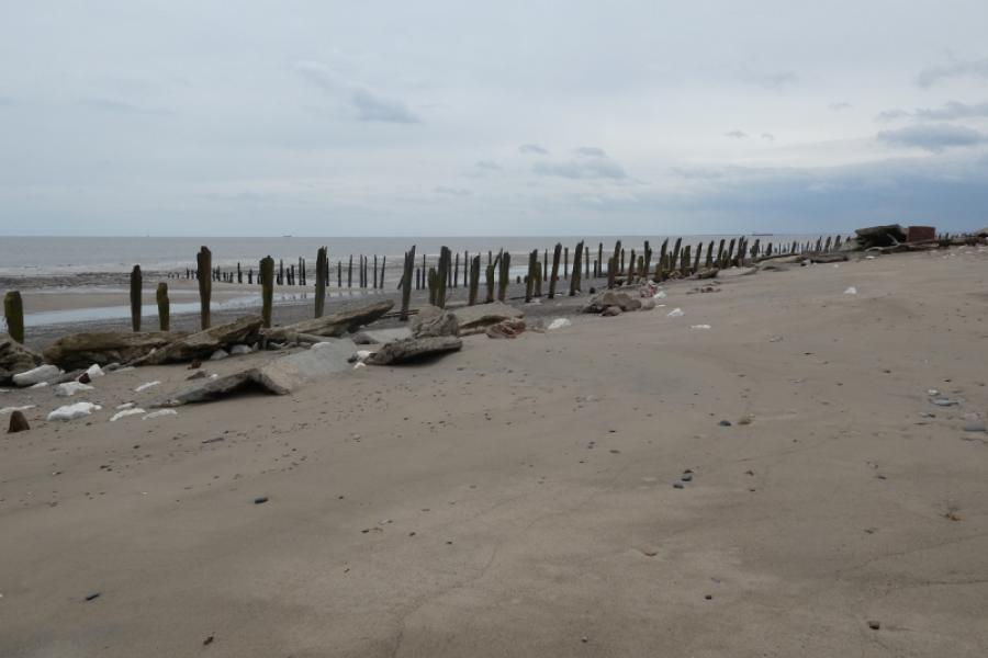
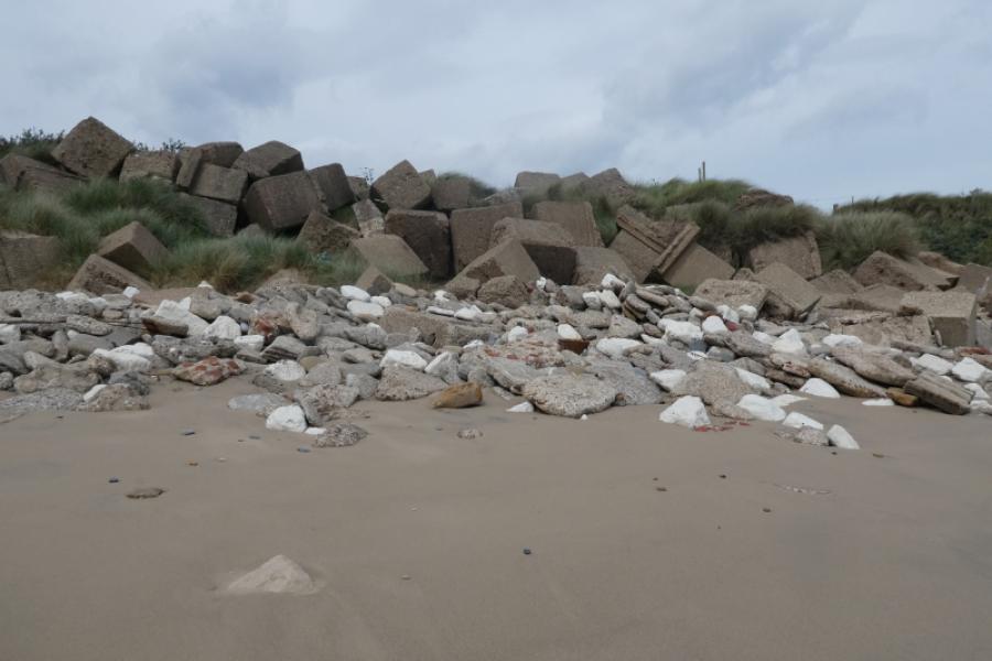
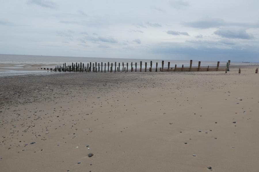
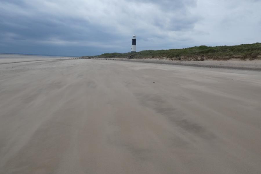
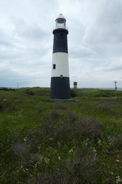
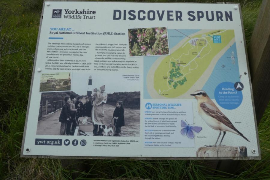
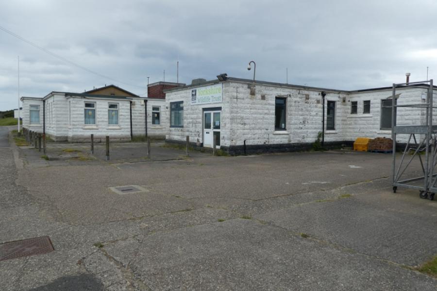
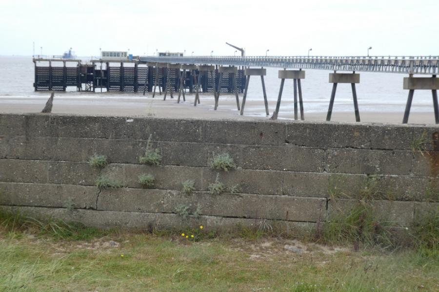
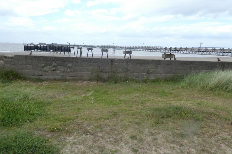
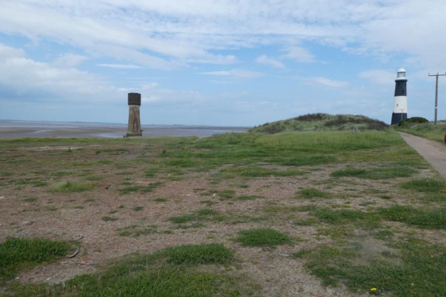
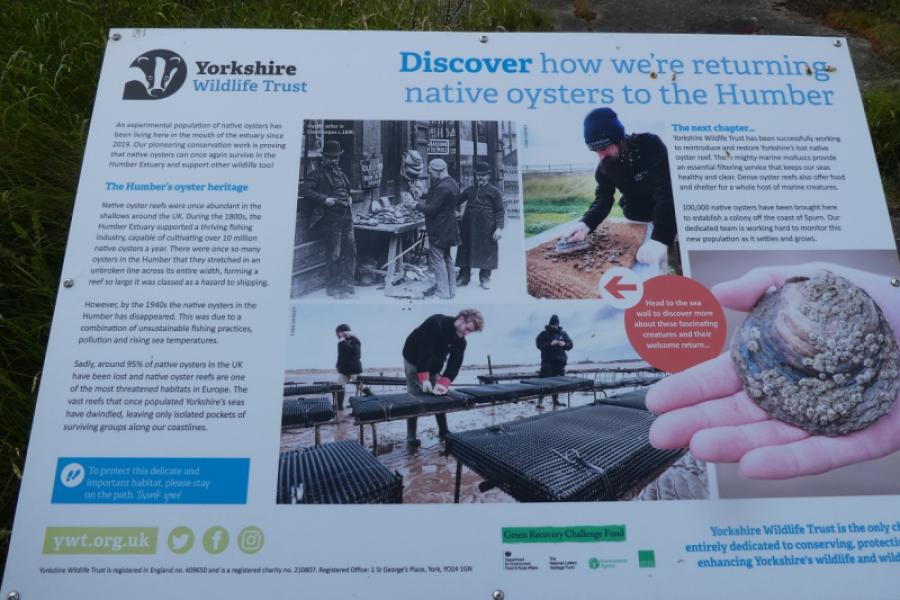
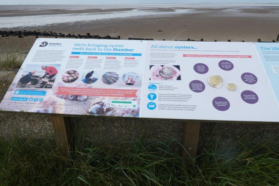
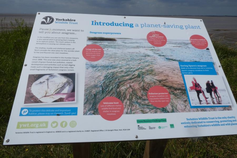
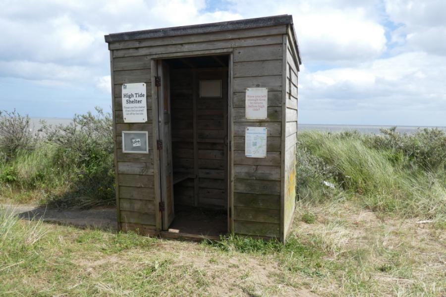
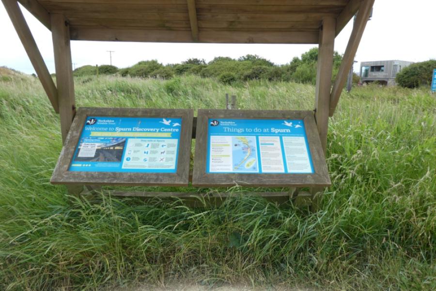
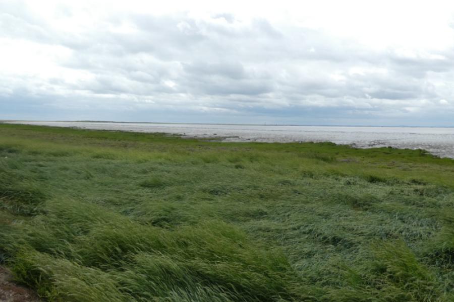
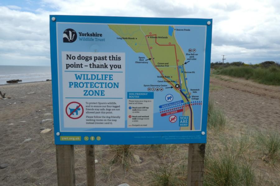
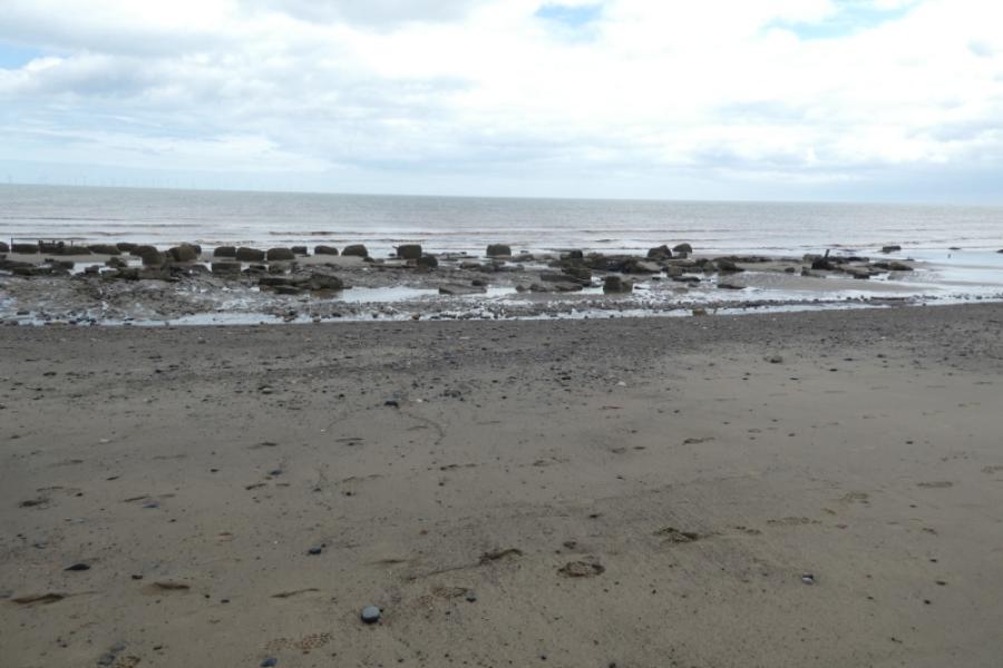
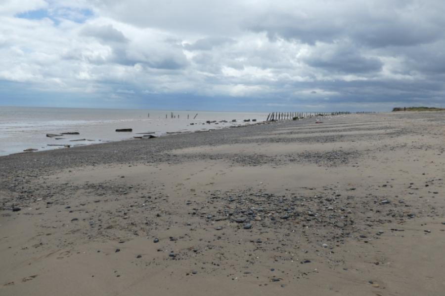
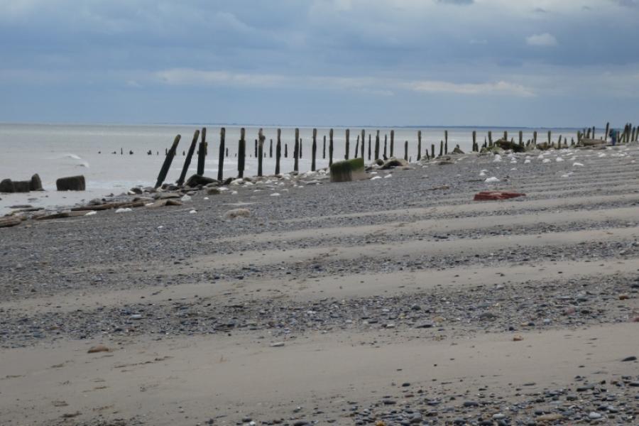
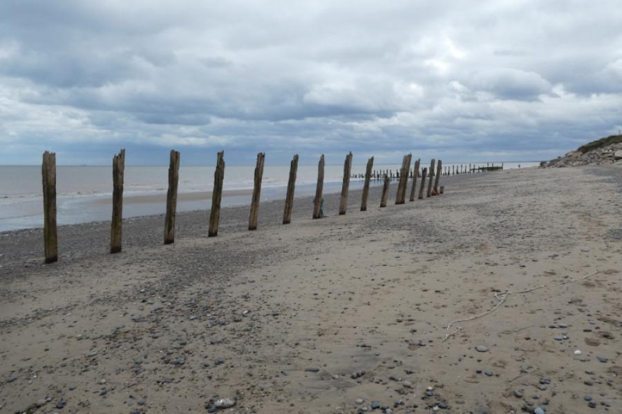
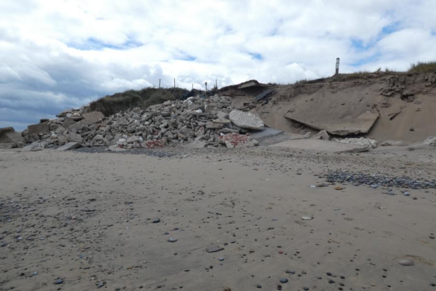
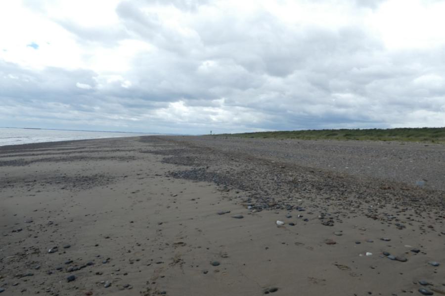
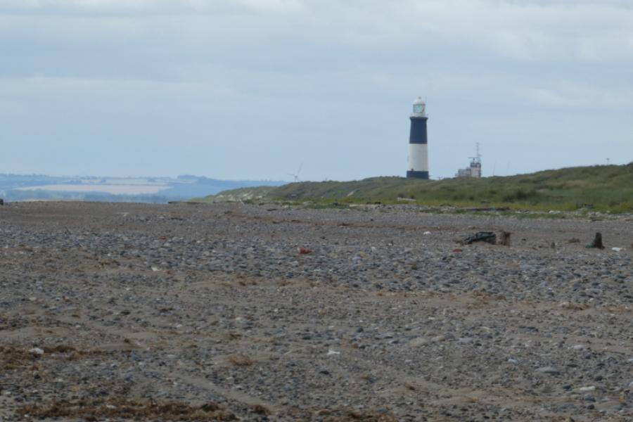
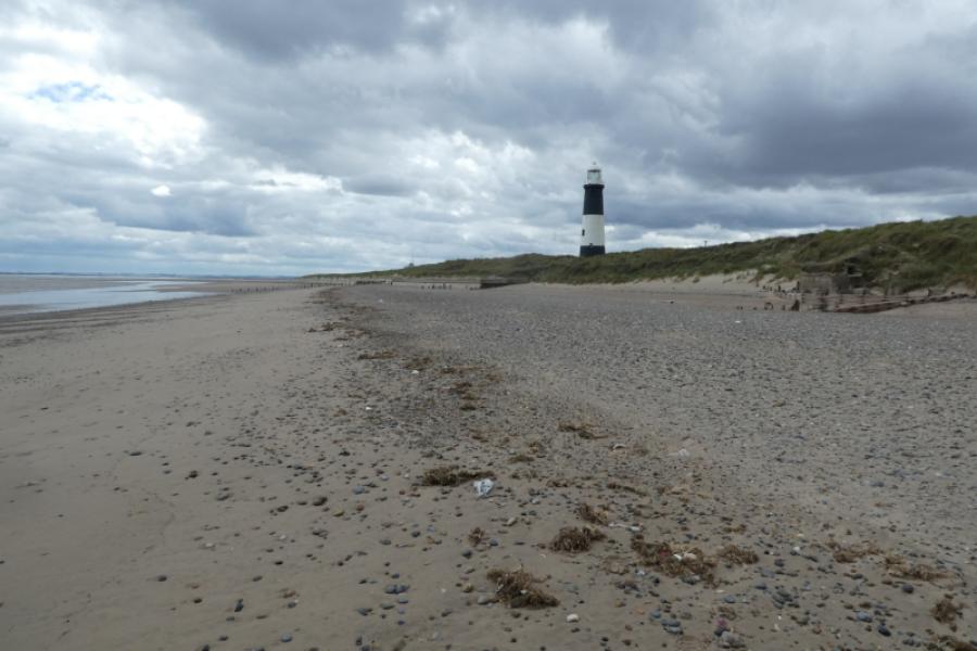
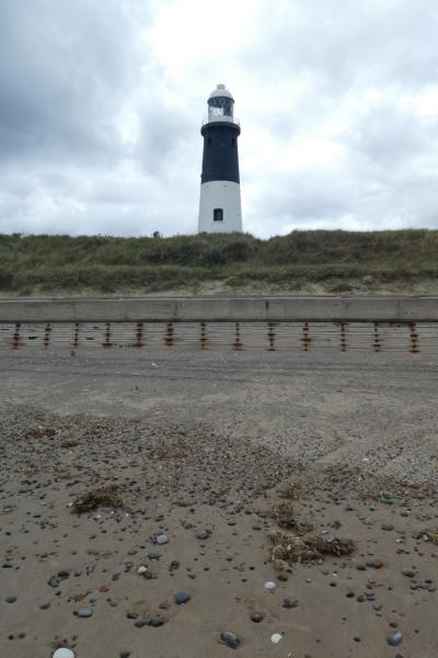
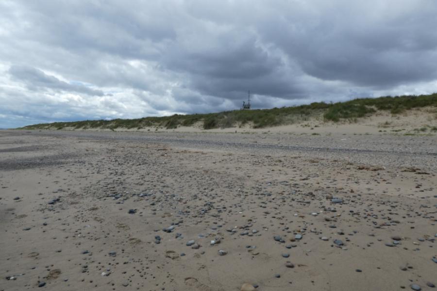
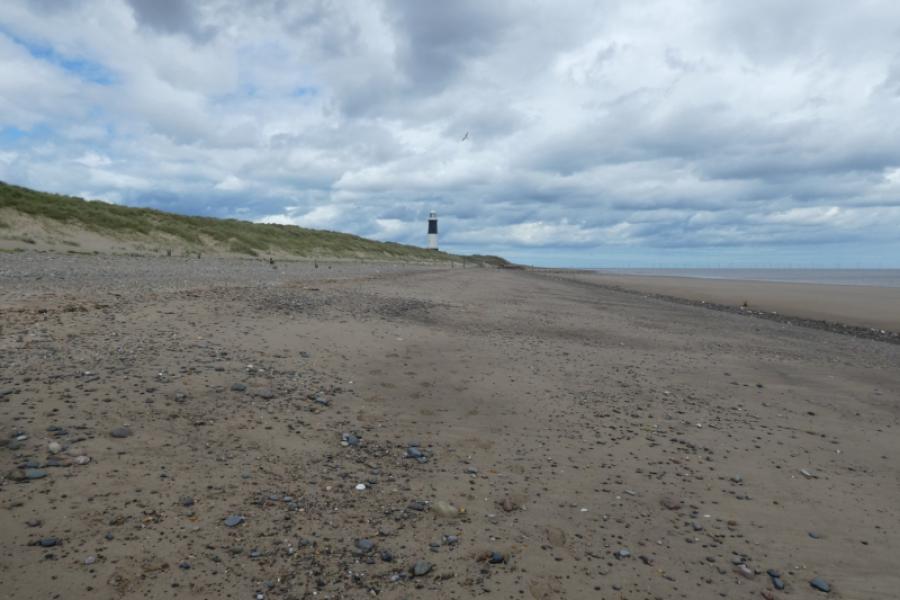
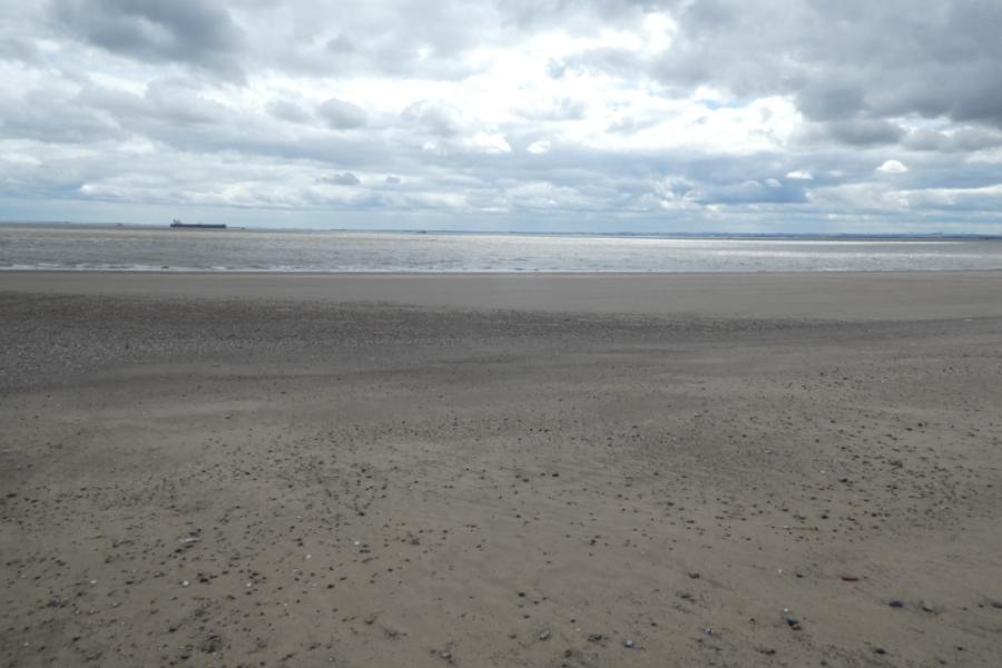
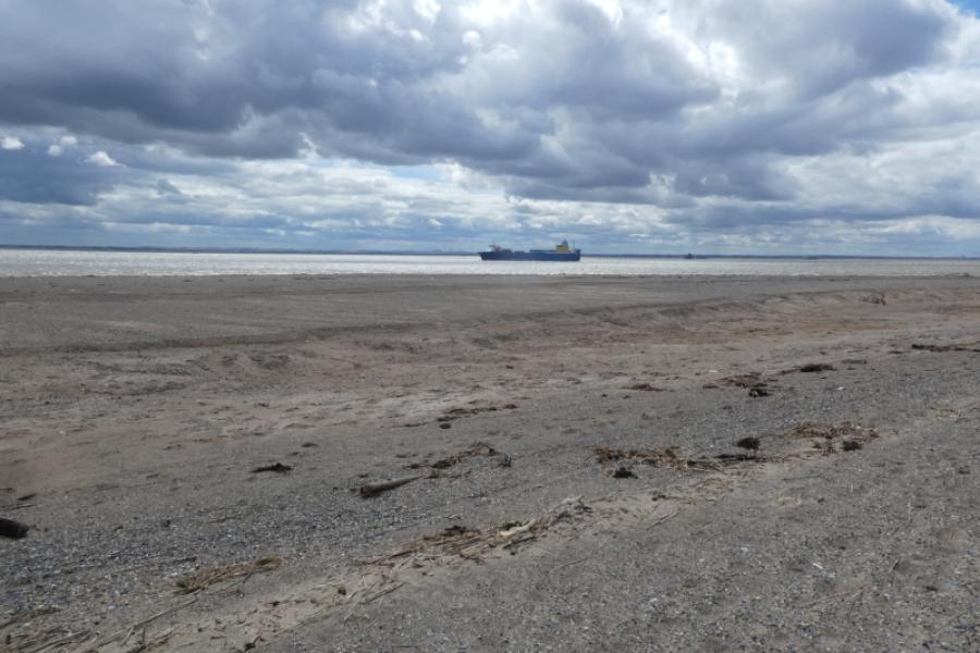
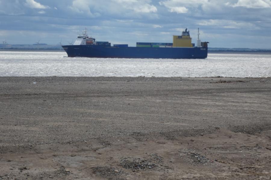
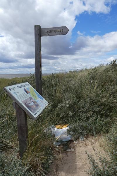
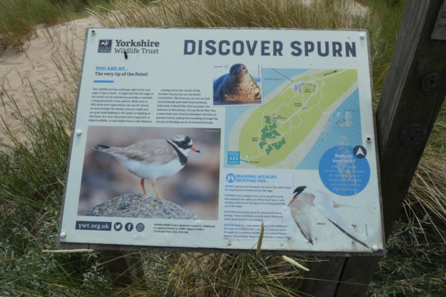
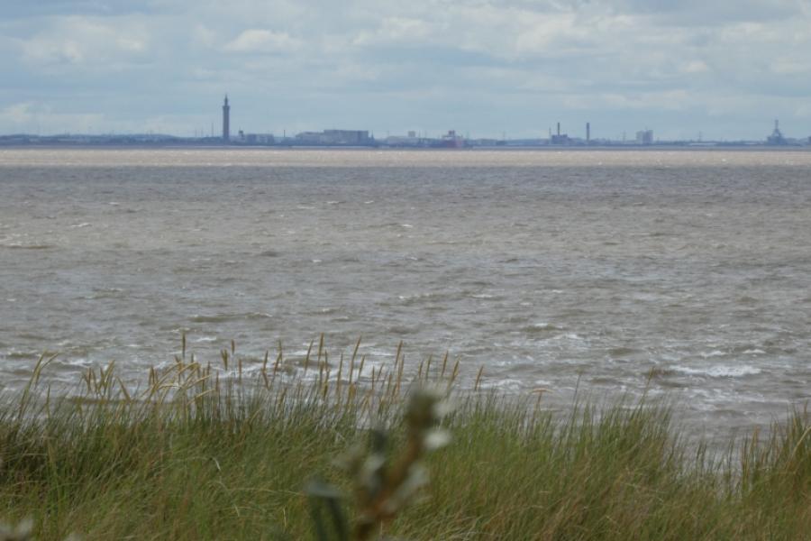
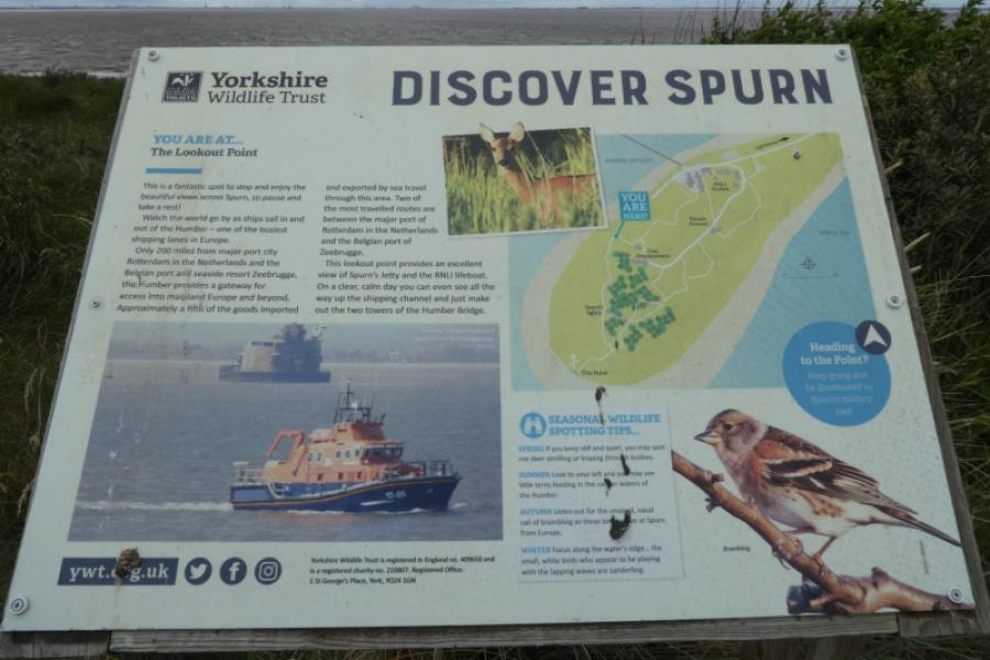
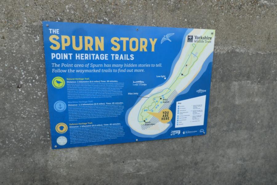
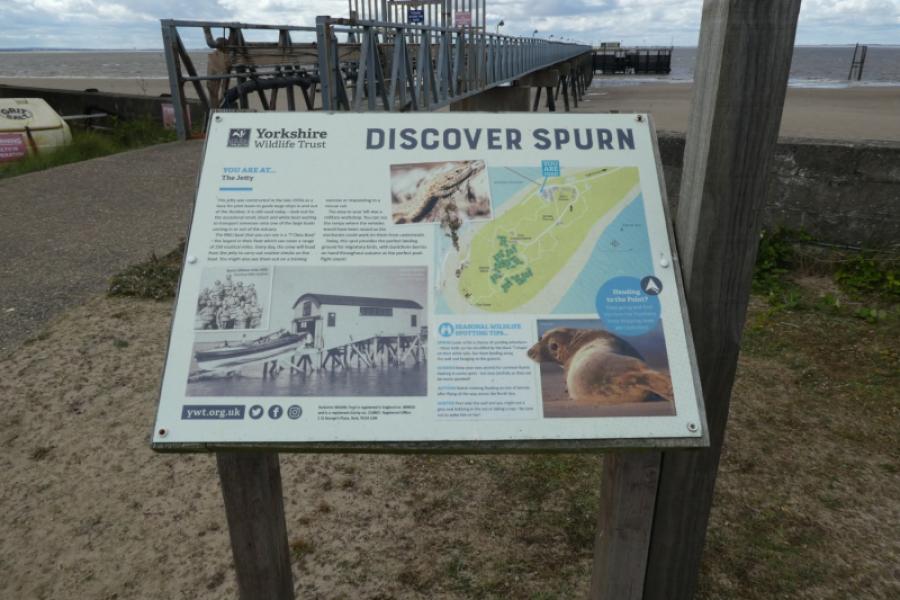
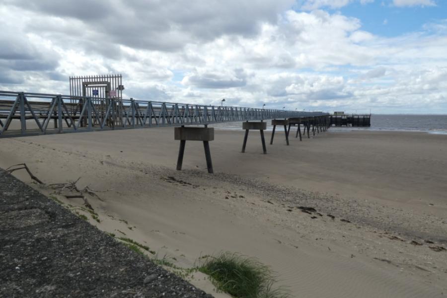
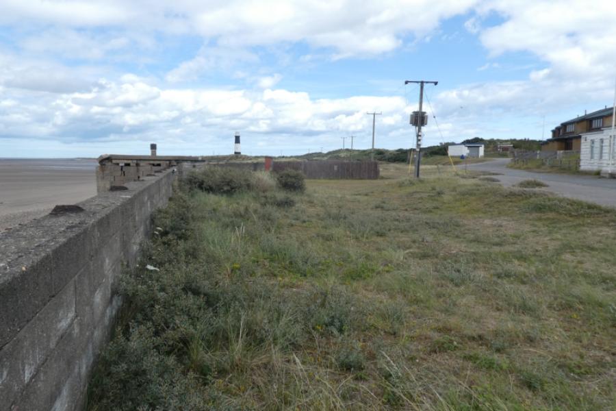
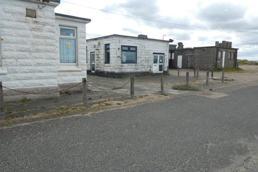
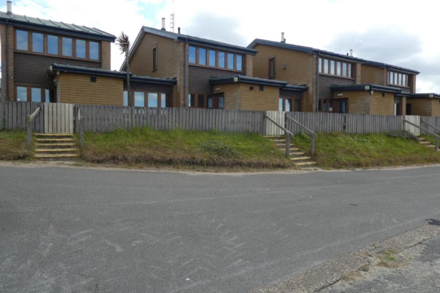
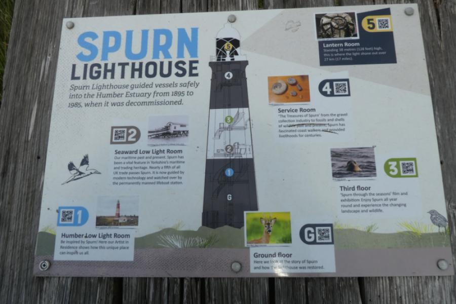
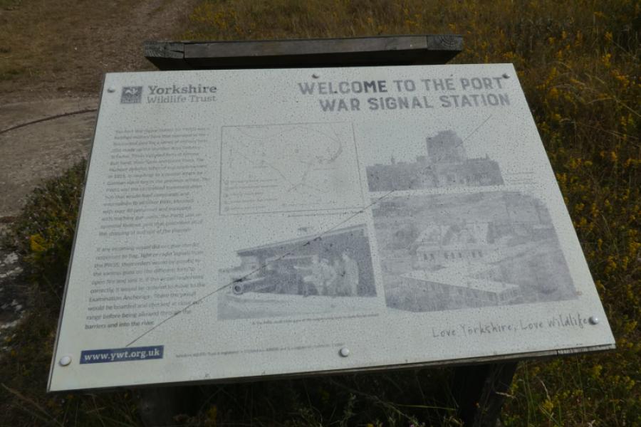
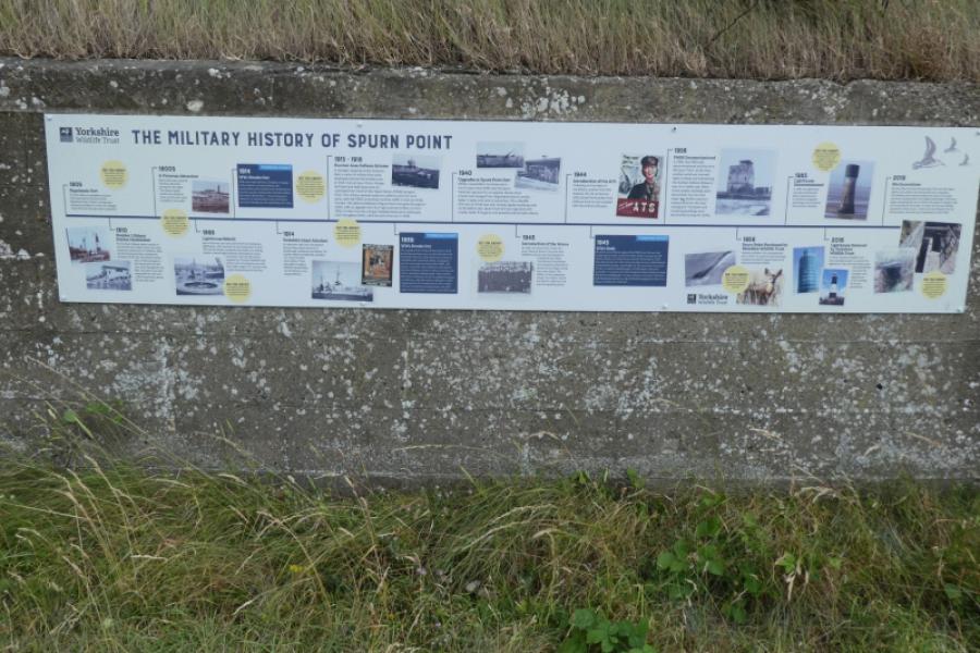
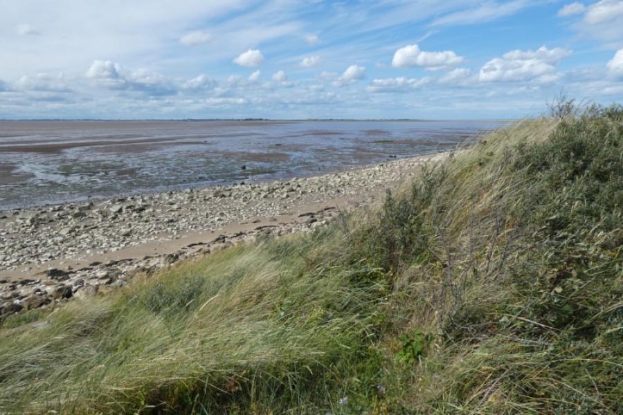
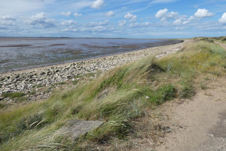
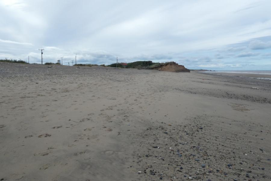
The Spurn Peninsula is a unique feature on the British coastline because of the way it sticks out into the mouth of the Humber Estuary. If one walks all the way to its end, Spurn Point, then it is about 6.5 km long. There used to be a minor road along the peninsula but some of this was washed away in a storm. Spurn Head, near the point, was inhabited but the modern looking houses are now empty and no one seems to live there anymore. There is a jetty at Spurn Head but it also no longer seems to be used. The lighthouse at Spurn Head is also now decommissioned. Those walking to Spurn Point have to use the beach where the road has been washed away. This section is known as the “washover section” and may be under water at high tide so any walk must be timed carefully otherwise you could end up being stranded for some hours. The Discovery Centre is very pleasant and has a cafe but check its opening times if you are wanting refreshments afterwards. There is also a gift shop and plenty of people around to give advice. The centre is run by the Yorkshire Wildlife Trust. Note that in bad weather, the Spurn Peninsula may be closed to visitors. The centre runs a transport service down the peninsula for those who may be interested and don't fancy walking and are prepared to pay to travel down the peninsula.
Route
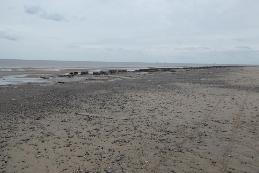
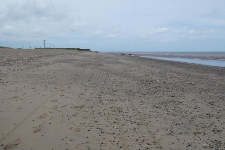
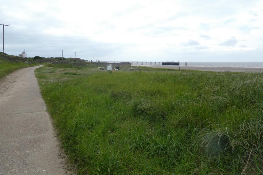
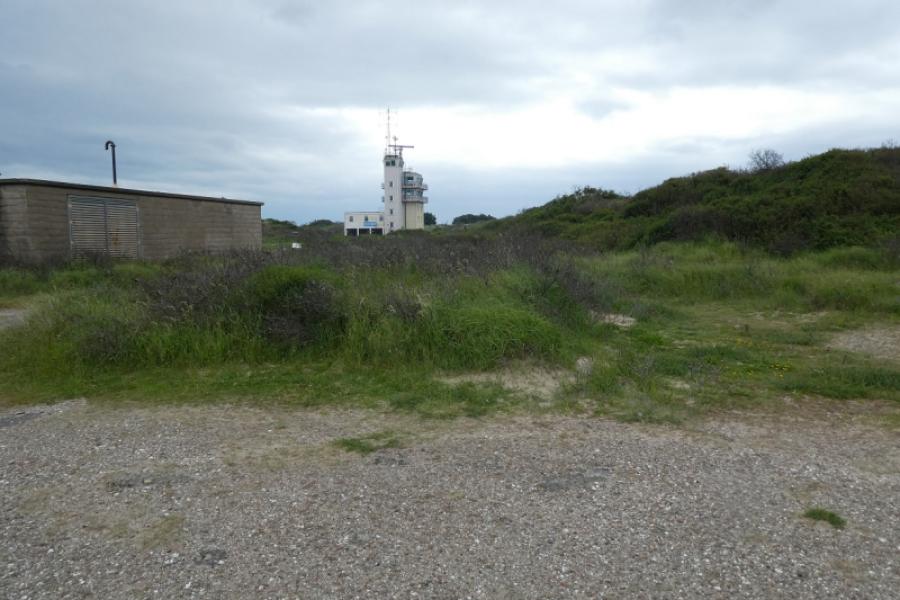
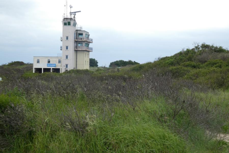
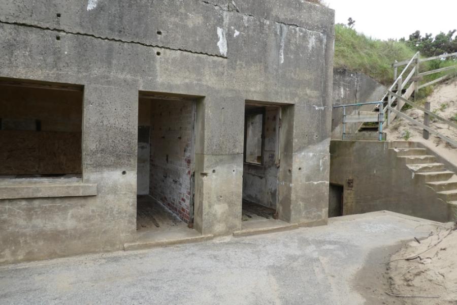
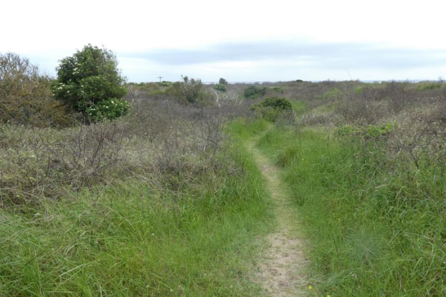
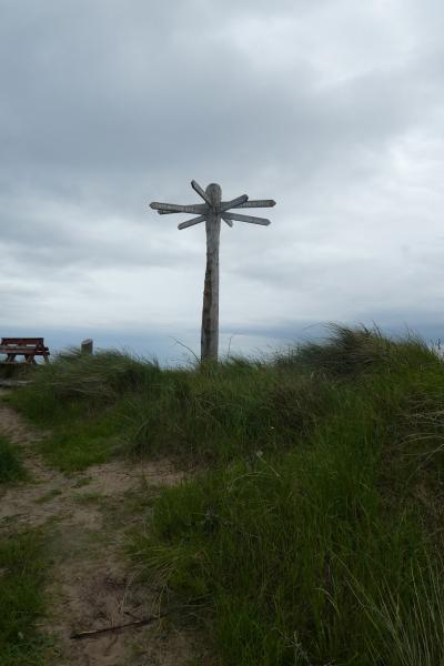
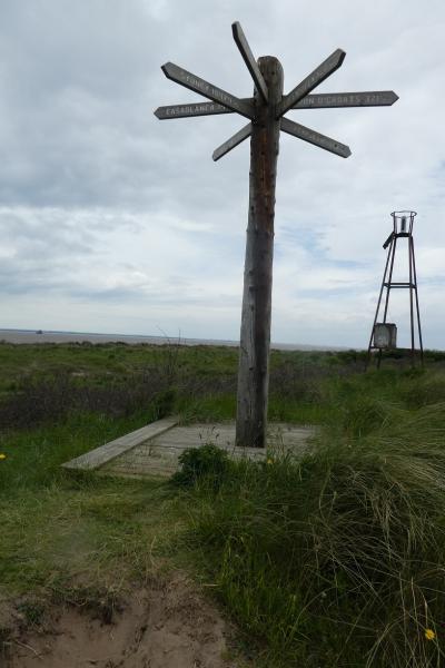
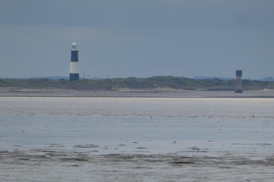
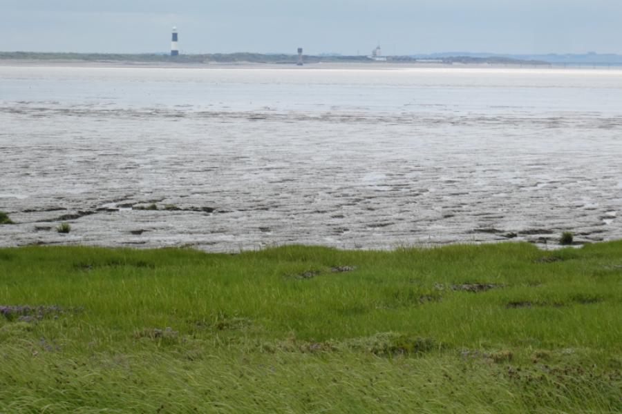
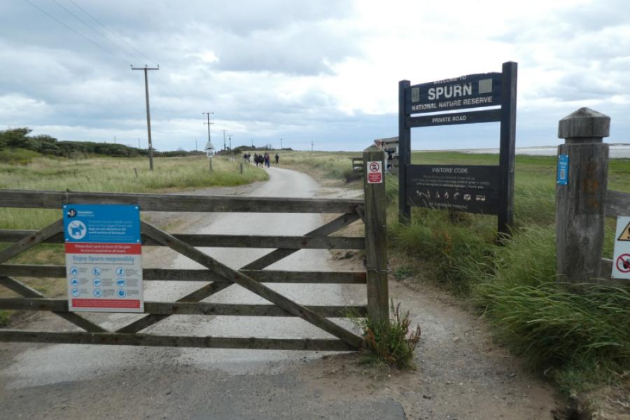
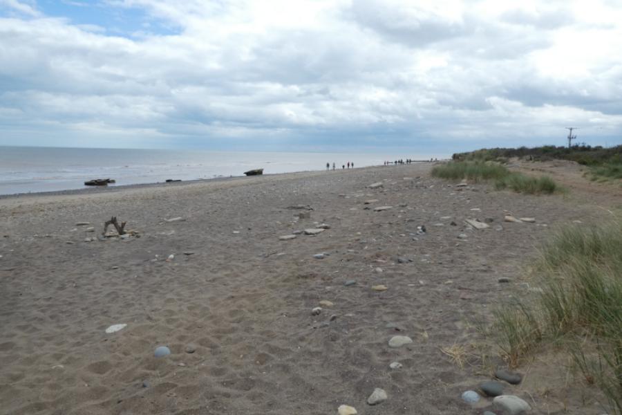
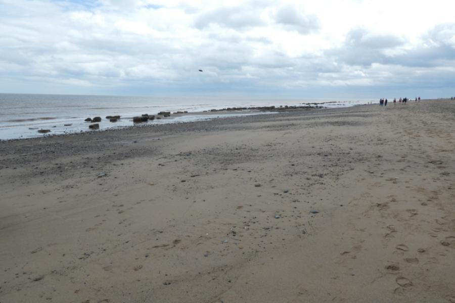
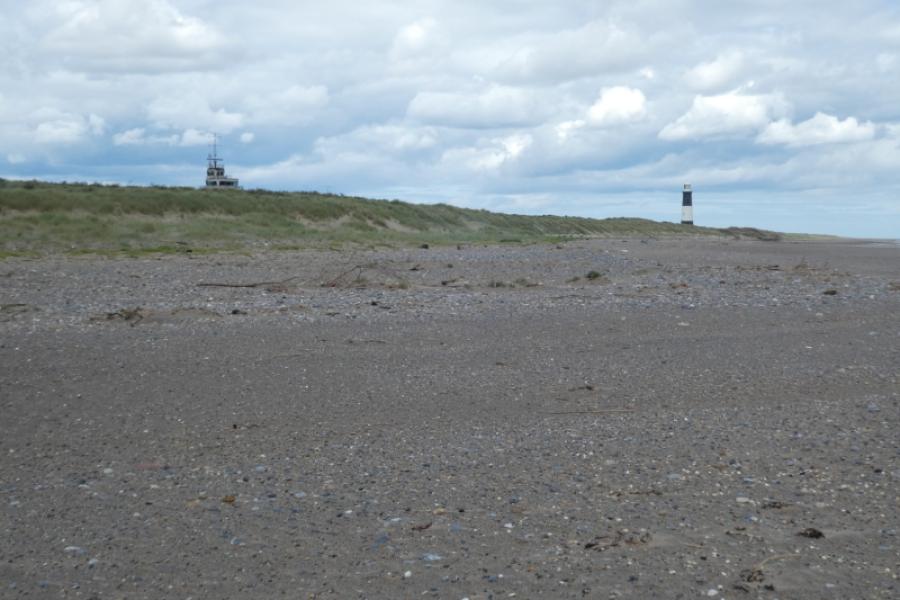
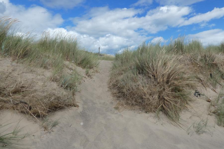
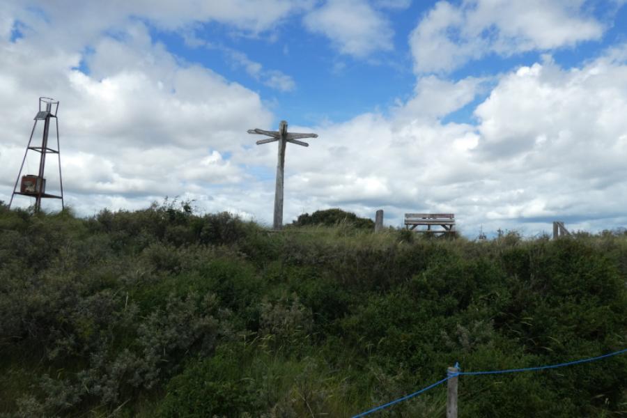
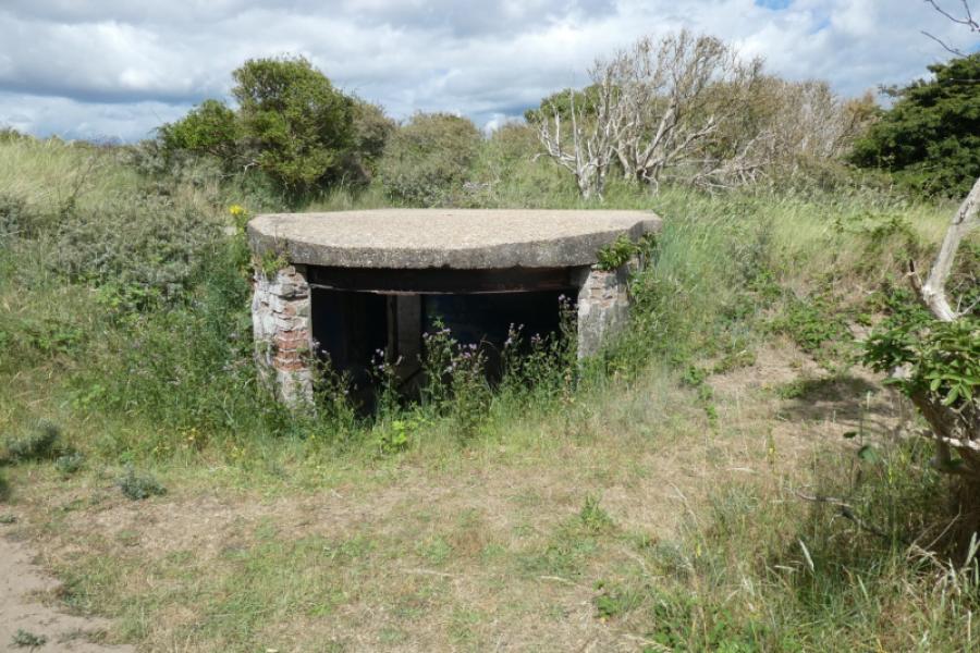
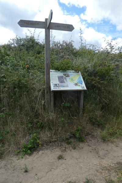
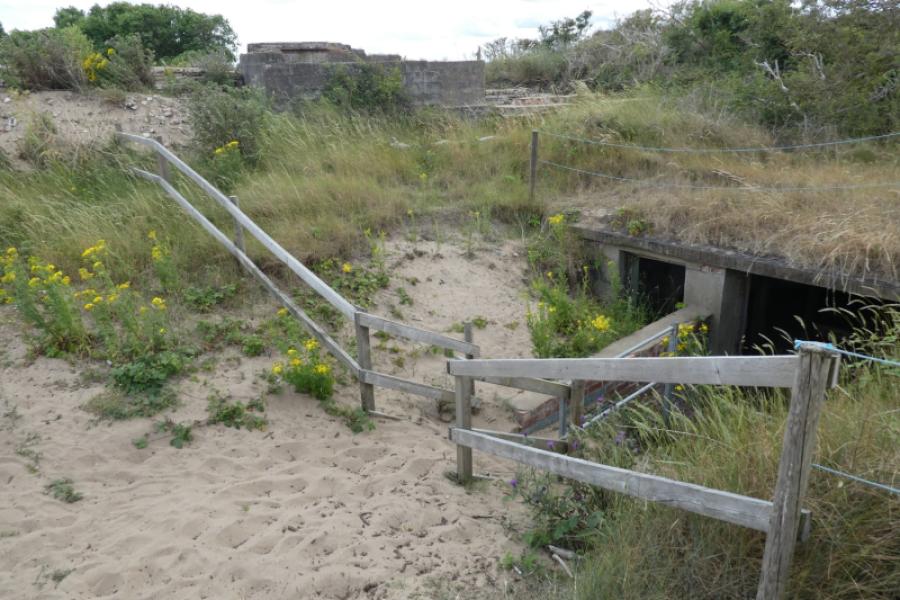
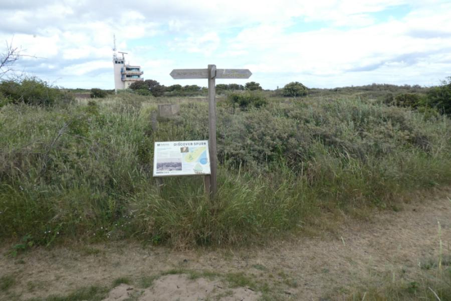
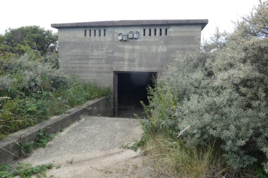
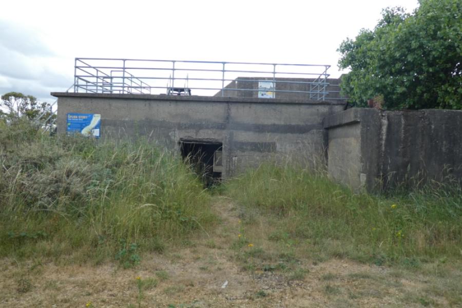
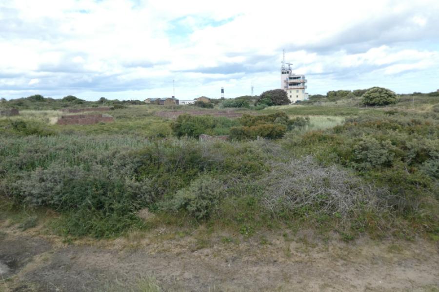
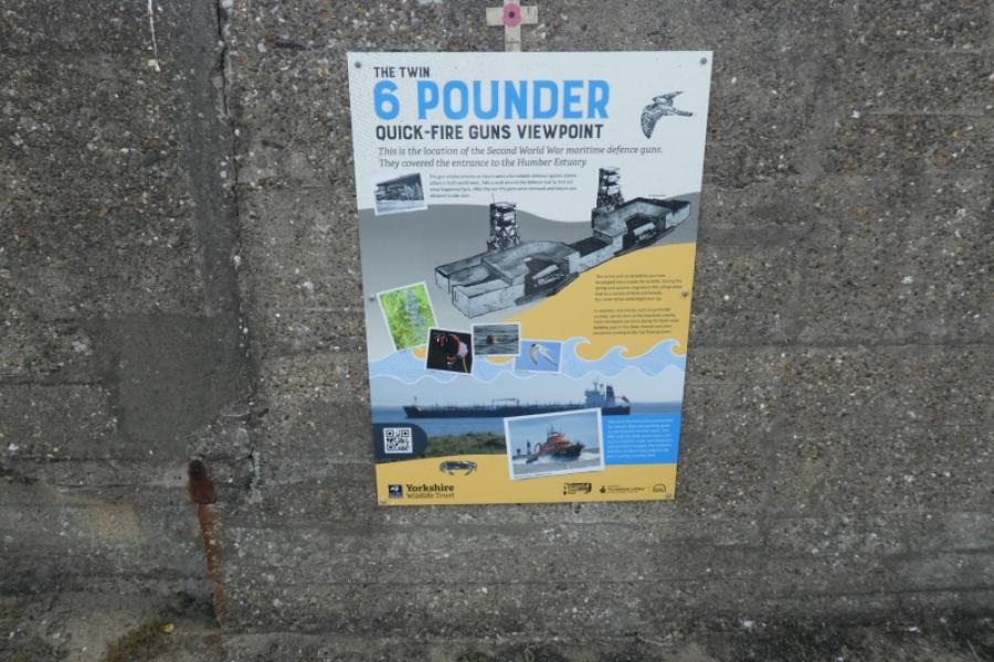
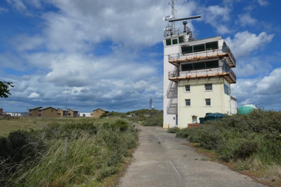
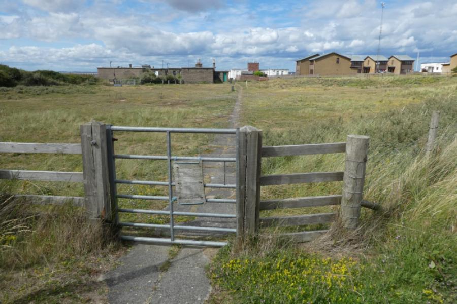
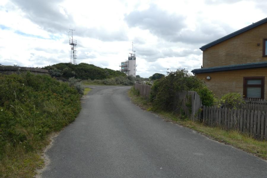
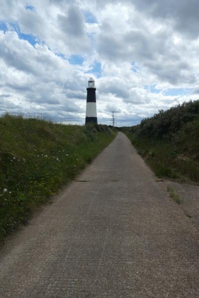
(1) From the Discovery Centre, follow the obvious tarmac road down the peninsula. The lighthouse is clearly seen in clear weather but it is further than it looks. The road soon reaches the washed away section where you are forced onto the beach. Further on, the road resumes and, apart from a short missing section leads all the way to the lighthouse. Either follow the road or stay on the beach, seeking out the firmer sand. When the lighthouse is reached, it is possible, but not easy, to get up the sand dunes to the lighthouse or one can continue on the beach to the point; staying on the beach seems the better option. From the lighthouse, follow a track/path towards the point passing the jetty. The signs aren't that clear and you may end up on a path which leads nowhere so be careful but there is a path to the point where a sign post gives the distances to places like New York and Casablanca. One can descend carefully to the shore here where, even at low tide, the river is close.If staying on the beach until The Point then follow the dunes round, passing the radar station, so you are just about entering the estuary. Keep going when you can see a multi-fingered sign post in the dunes as there is no easy way up to it. A little further on, you will see a single finger sign post which can be reached quite easily. From there, use the fairly good paths to wander around the various points of interest which include abandoned bunkers and gun placements. Head for the obvious radar station then follow a path from it to the old settlement of modern but now abandoned houses where there used to be a cafe. The jetty is nearby but not accessible. From there head to the lighthouse noticing the older lighthouse nearby.
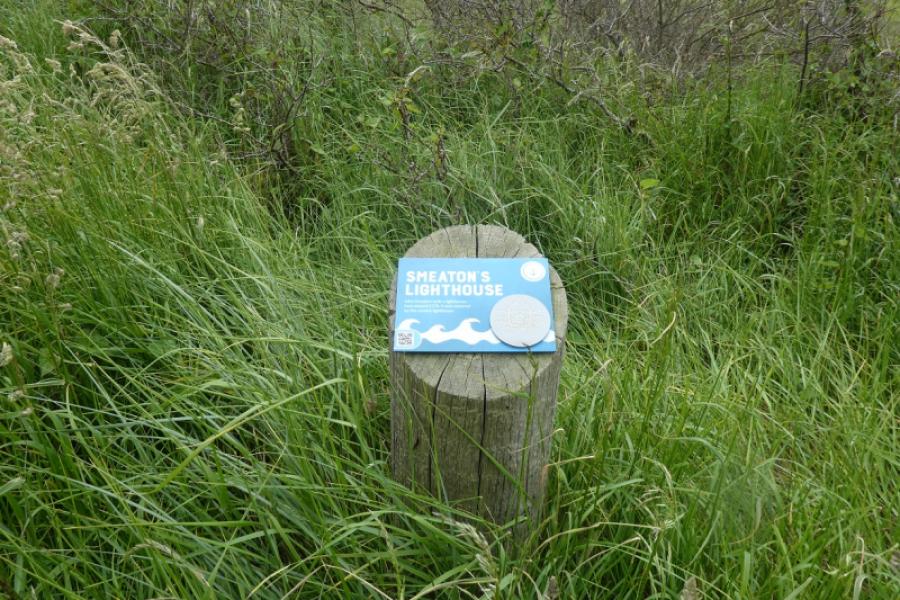
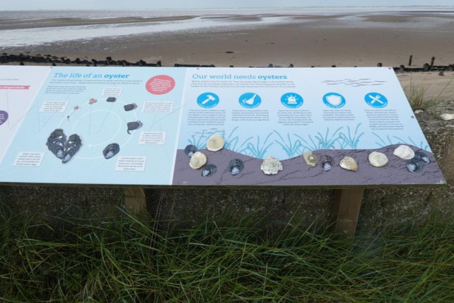
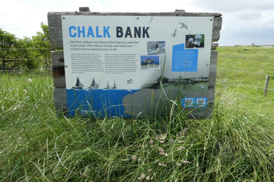
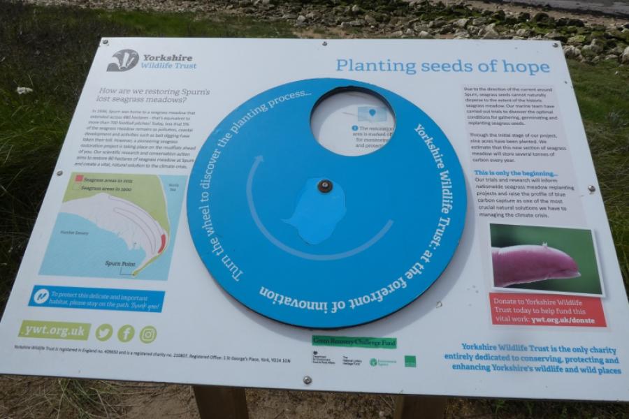
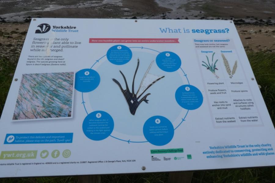
(2) From the lighthouse, back down the tarmac track passing some interesting features, often just off the track, where there are information boards. Pass the short section section of missing track before the track finally disappears and you are forced to go right onto the beach. Walk along the shore until the outward track/road can be followed back to the centre. The hut which was there in 2024 to shelter in if cut off by a high tide was no longer obvious on 4/7/26. It may or may not be replaced in the future.
(3) Additional photos from 2026 are posted after those from 2024.
Notes
(a) This walk took place on 7th June, 2024, and 4th July, 2026.
Photos - Hover over photo for caption. Click on to enlarge. Click on again to reduce.