Get Lost Mountaineering
You are here: England » Lake District » Other
Knockmurton from Felldyke
Knockmurton from Felldyke
Start/Finish
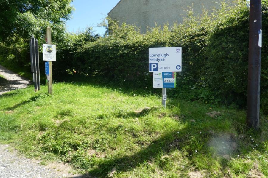
Felldyke car park, free in 2024, with enough space for about 6 cars. Felldyke is on the road from Lamplugh to Ennerdale Bridge. Google maps recognises Felldyke which can help with navigation.
Distance/Time
6 km About 2 – 3 hours
Peaks
Knockmurton, 447 m, NY 095 191. OL4 North Western Lakes
Introduction
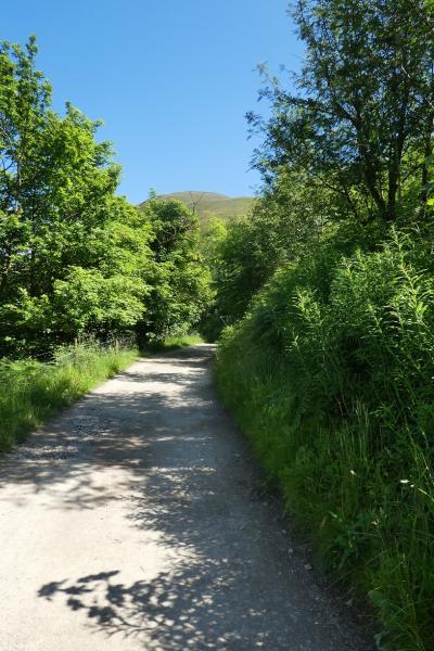
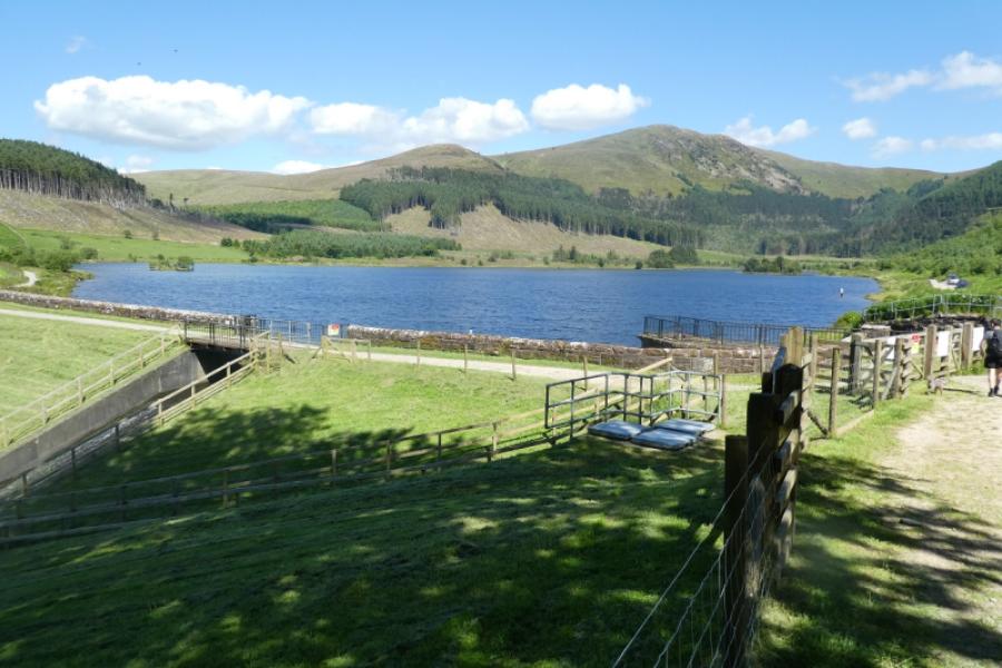
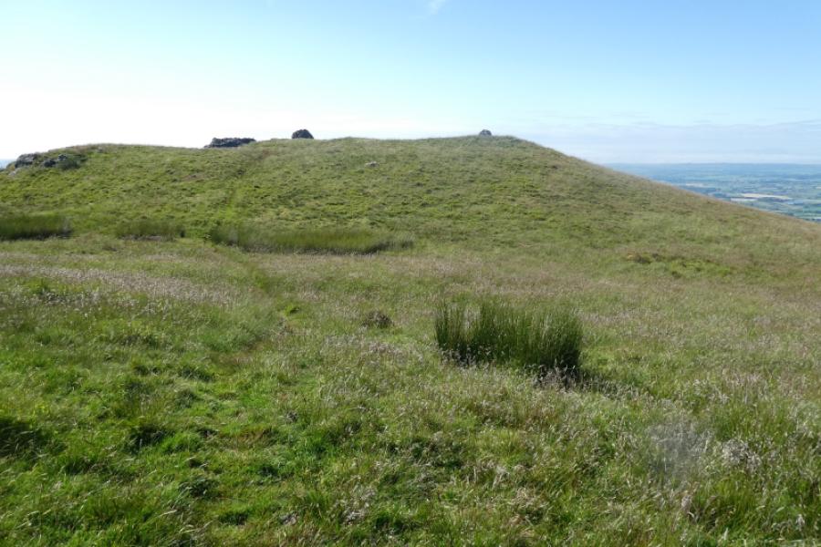
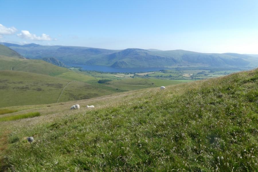
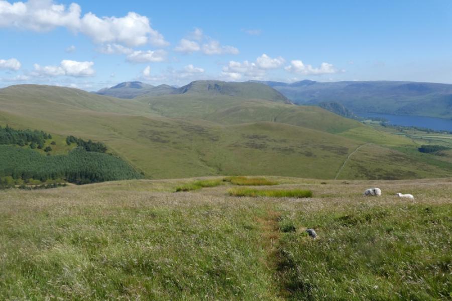
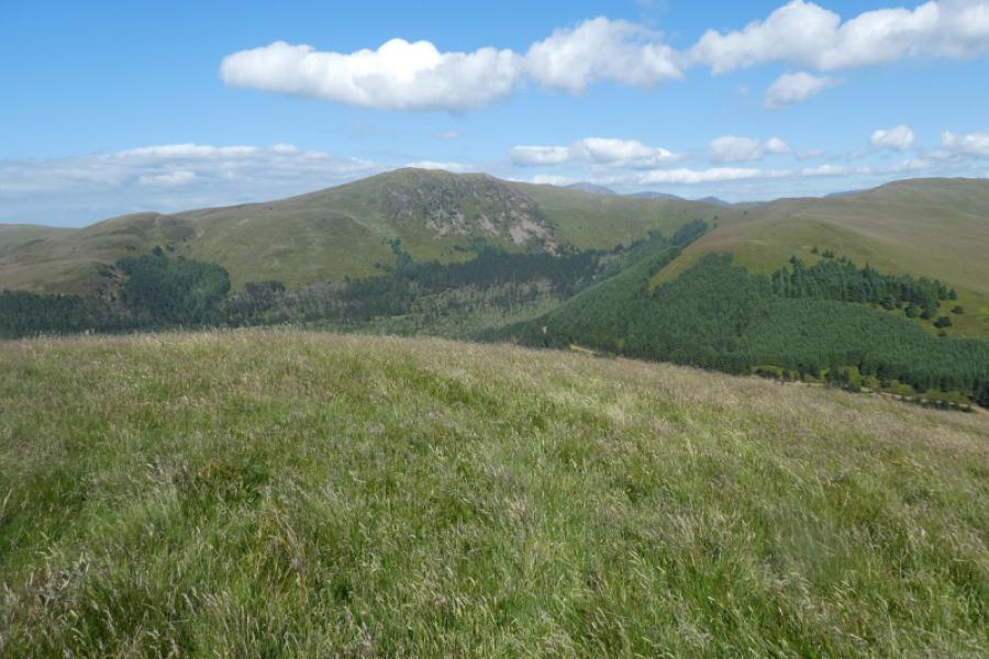
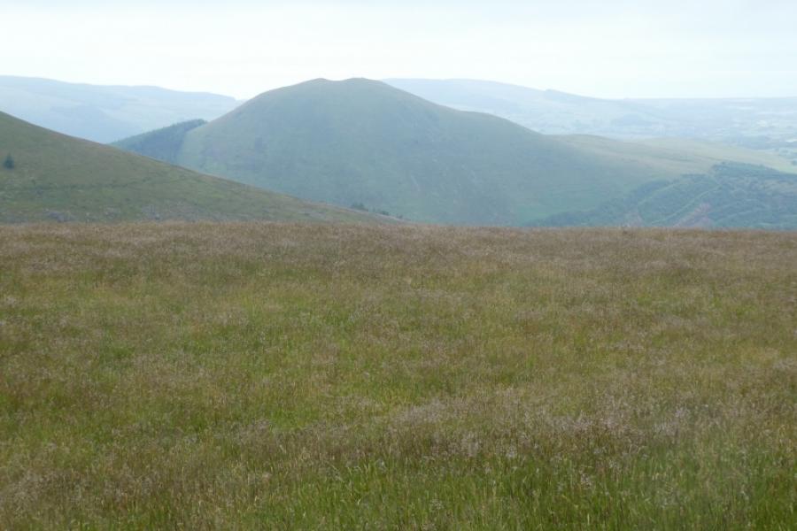
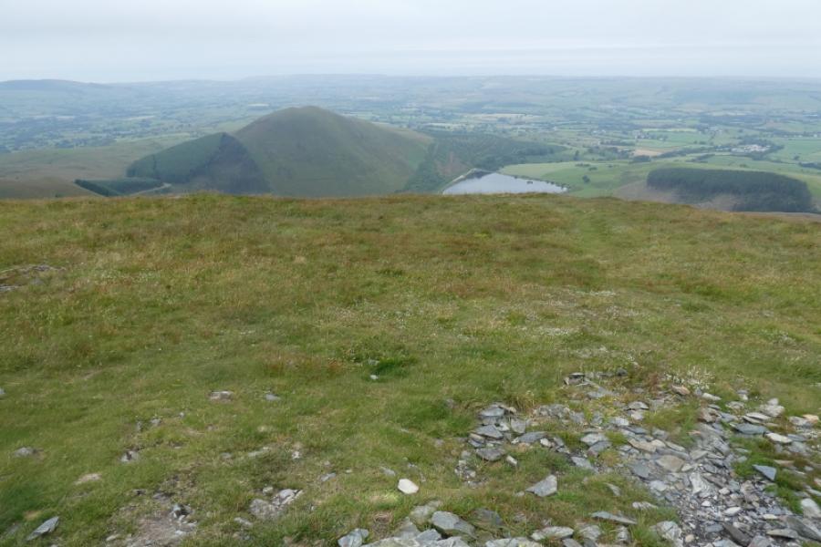
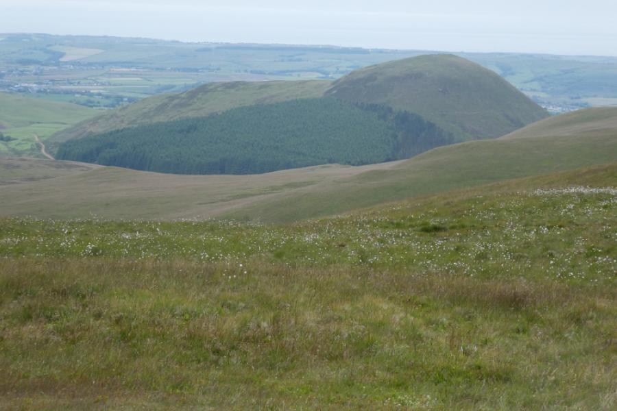
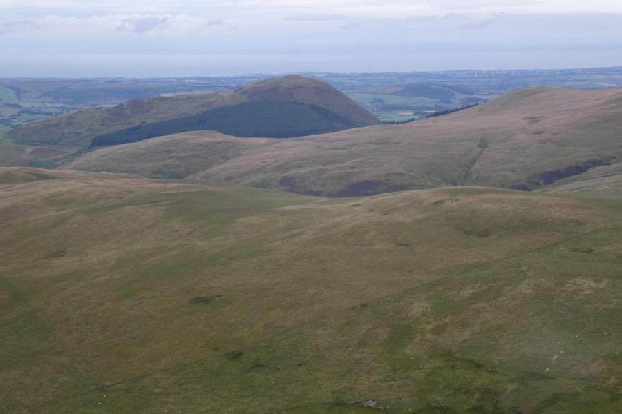
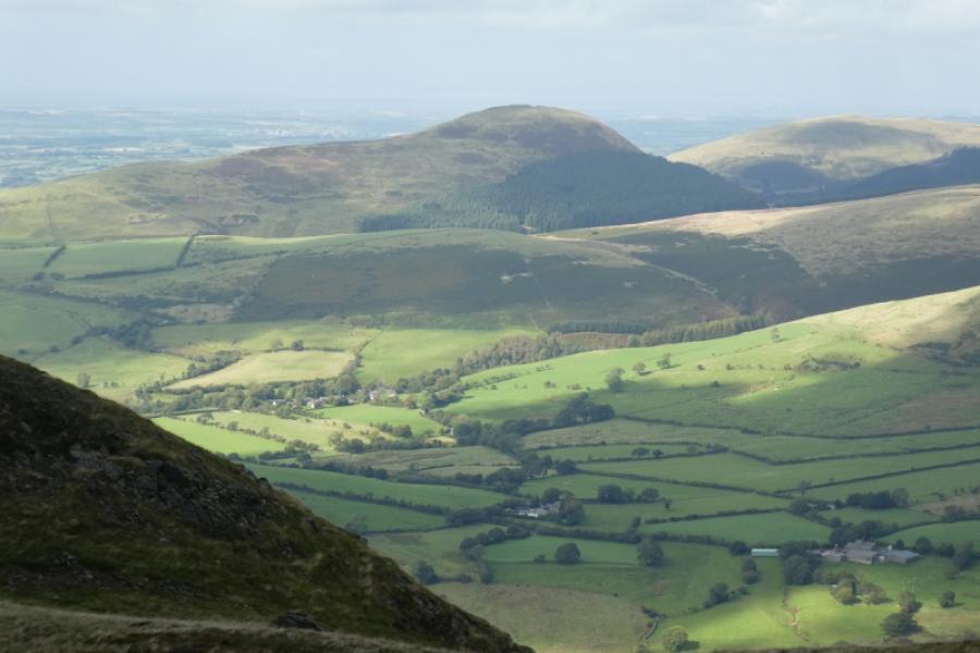
Despite its modest height, Knockmurton is quite a dominant hill and its west ridge is well seen on the approach from Lamplugh. There is easy walking from the car park to the end of the scenic Cogra Moss Reservoir after which a narrow stony path takes one up to a forestry road. One then has to pick a way through mature conifers followed a by an ascent on steep grass to the summit area. Views to the east are of the Lakeland Fells whereas to the west, the land is more gentle. Note that Knockmurton is not on any Wainwright list.
Route
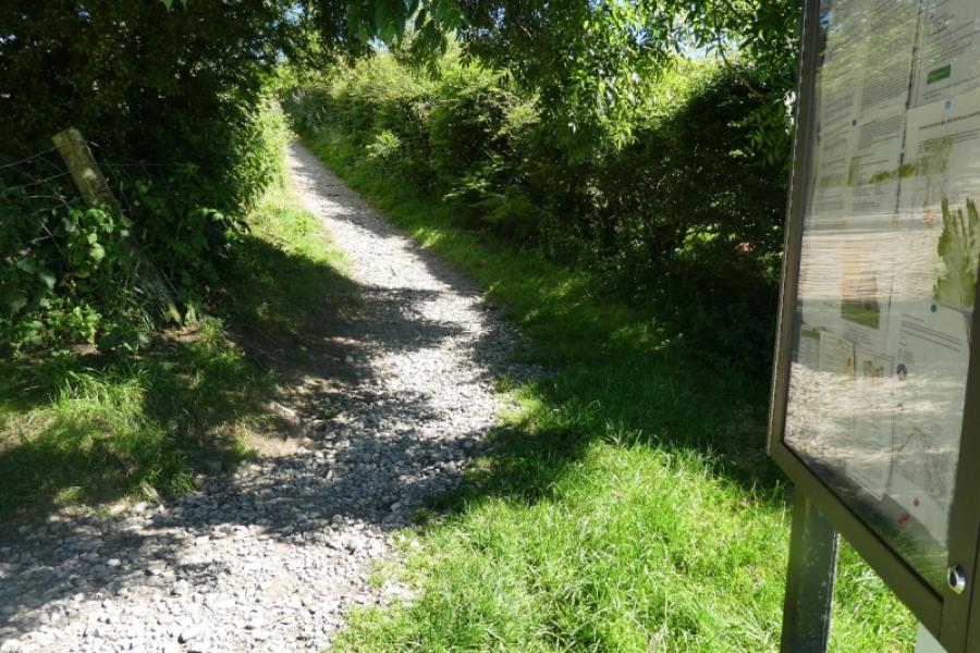
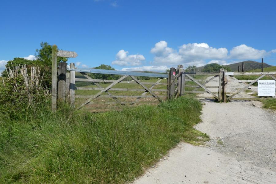
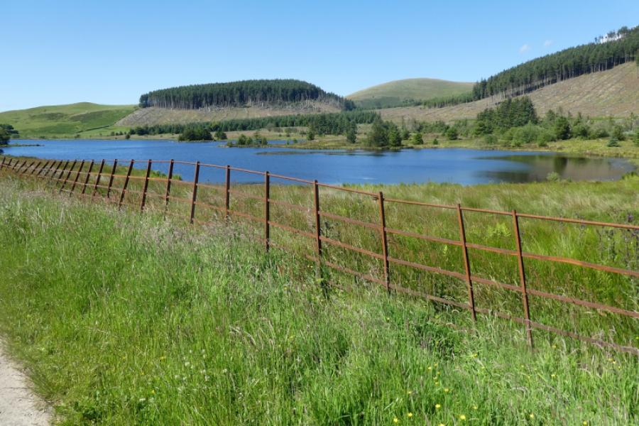
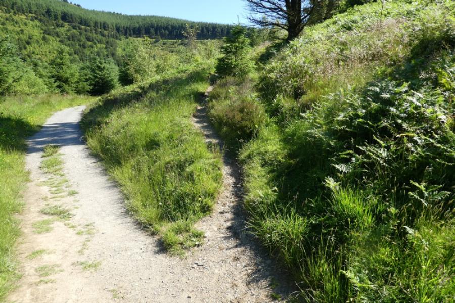
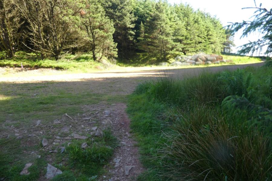
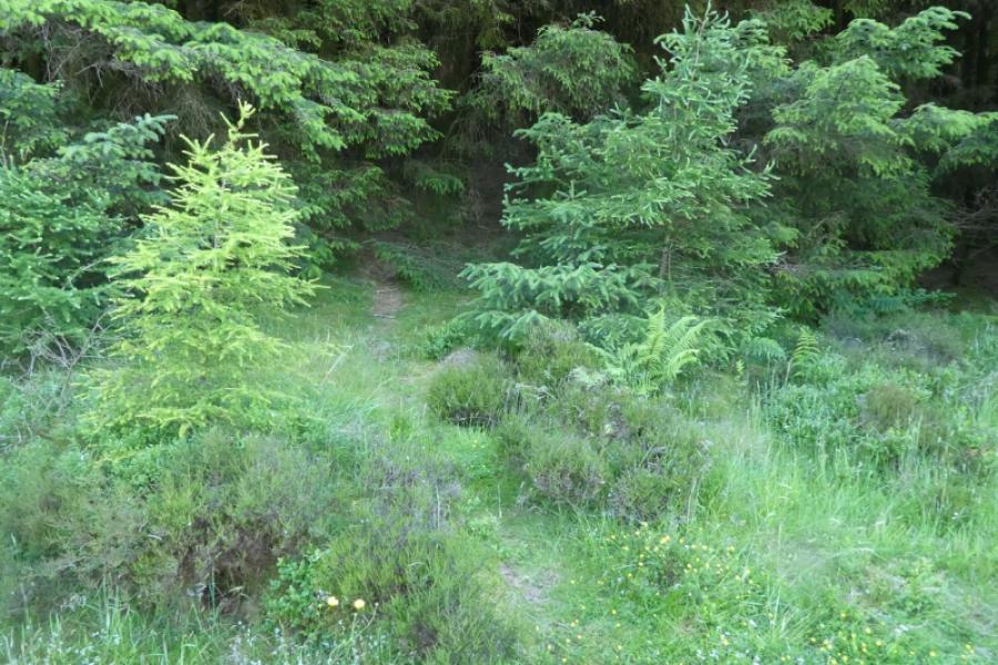
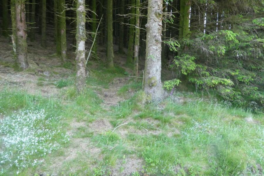
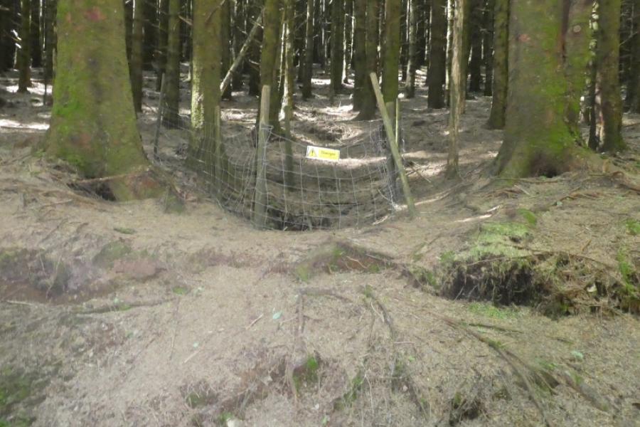
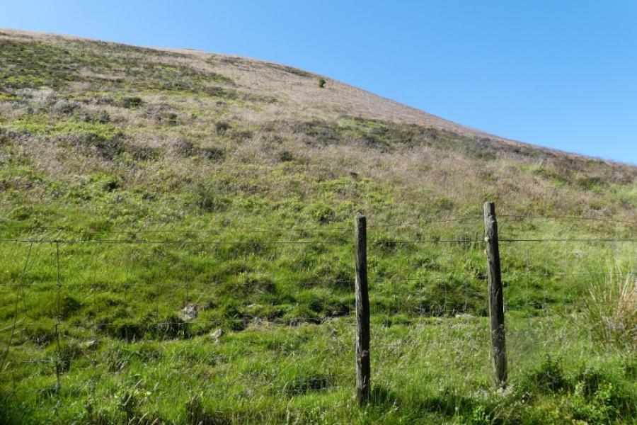
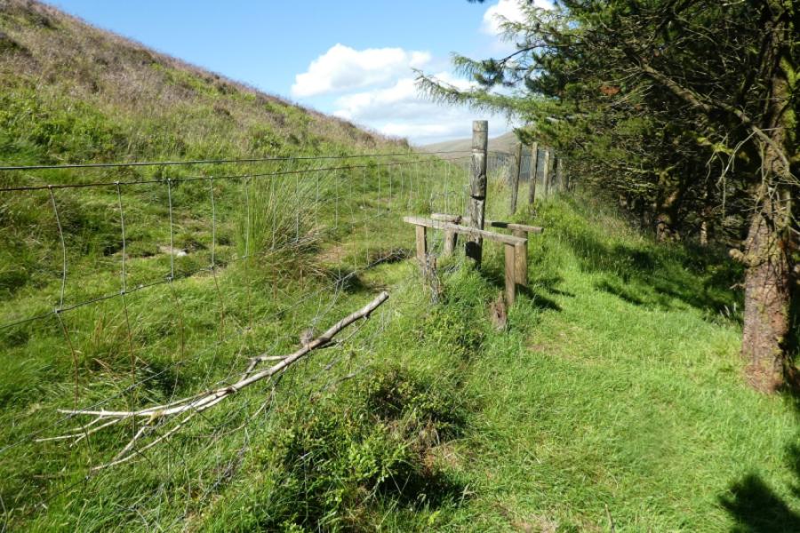
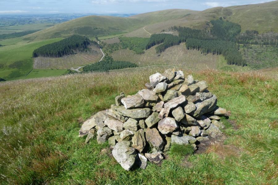
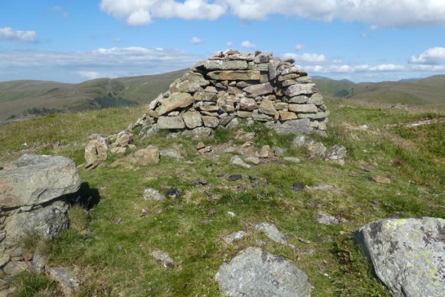
(1) Take the obvious path, by the notice boards out of the car park and soon reach a lane. Turn left then almost immediately right to follow the track to Cogra Moss Reservoir. Continue until just past the reservoir where a narrow gravel path forks off right. This is opposite the end of an old iron fence. Follow the gravel path up – it is rough in places – to reach a forestry road. Turn right. A minor track forks off left at this point but ignore it. Opposite this junction, look for a faint path going into the forestry. There is another way in, to the same path, a few metres further on. The path isn't easy to follow but just keep going up until you can exit the trees and reach a fence. If you have navigated well then there should be two simple stiles: a single one and a double one. A path leads steeply uphill from the double stile. An alternative route is to stay on the main forestry road until you reach a hole on the right with a warning about old quarry workings. Just past this, there is a straight line gap leading uphill. It is rough in places but the line is easy to follow. Again, just go uphill. At the top of the forestry, you may encounter some felling debris. This can be avoided on its right to reach the fence and stiles. Follow the steep path uphill from the double stile until the angle eases and you reach the summit area where there is a shelter cairn, a large cairn (with a stone bench on one side) and a small cairn. Observations on the ground suggest that the small cairn is the higher of the two.
(2) Retrace the outward route back to the start.
Notes
(a) This walk took place on 24th June, 2024.
(b) It might be possible to descend down the west ridge and go around the forest to rejoin the outward track where the Cogra Moss sign was met earlier and there is a stile here. This alternative has not been checked out so cannot say how rough the going may be.
Photos - Hover over photo for caption. Click on to enlarge. Click on again to reduce.