Get Lost Mountaineering
You are here: England » North Yorks Moors & Coast
Bridlington to North Landing via Flamborough Head
Bridlington to North Landing via Flamborough Head
Start/Finish
For those without two cars it is best to drive to North Landing where there is usually plenty of parking which was £5 per day in 2024. From there, one can catch the bus (every hour at £2 in 2024) to Bridlington bus station. This may well be a cheaper option than parking a second car in Bridlington.
Distance/Time
12 km About 3 - 4 hours excluding travel.
Peaks
No peaks as this is essentially an edge walk but there are several “ups and downs”.
OS Landranger 101: Scarborough, Bridlington and Filey
OS Explorer 301,1:25 000, Scarborough, Bridlington & Flamborough Head)
Introduction
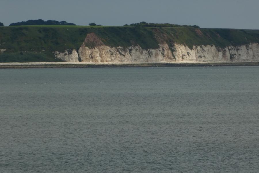
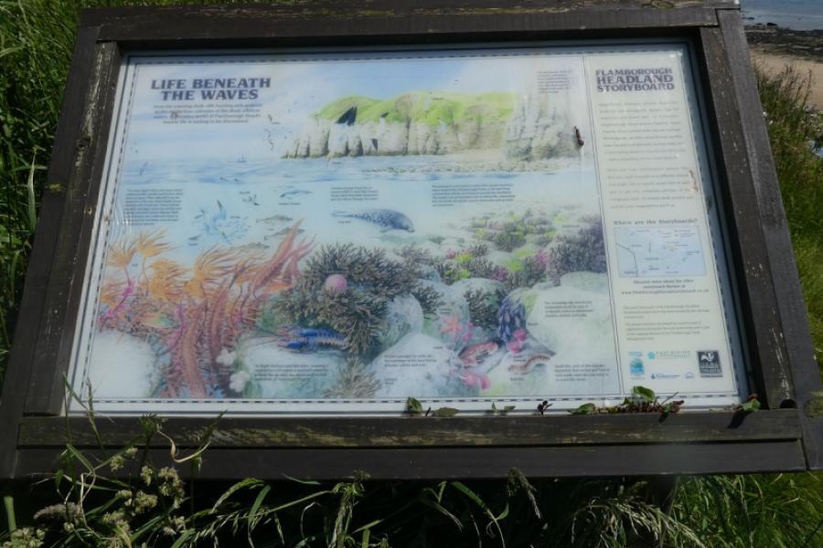
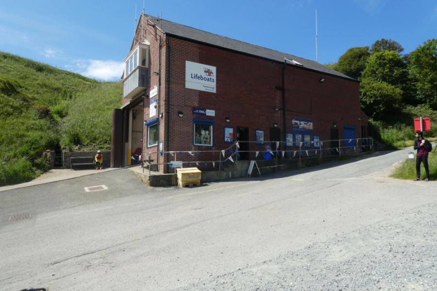
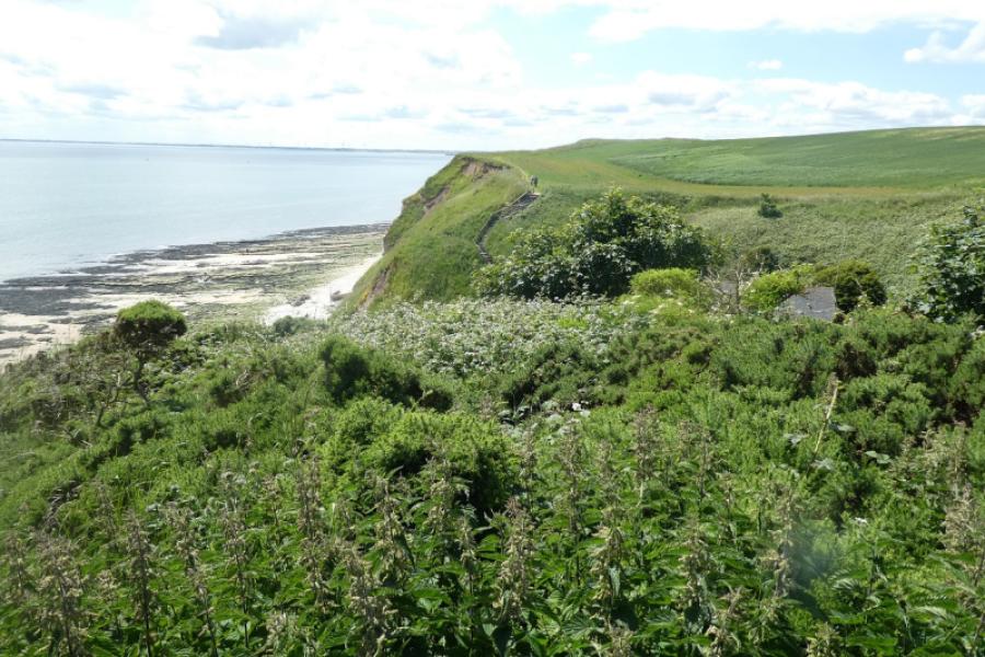
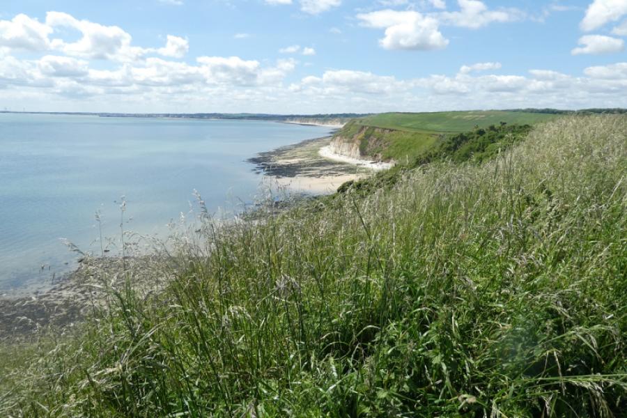
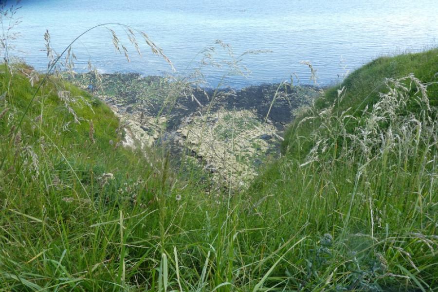
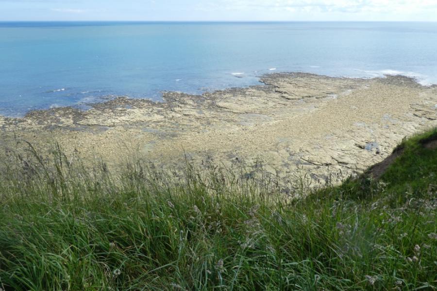
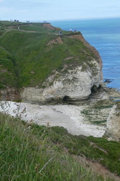
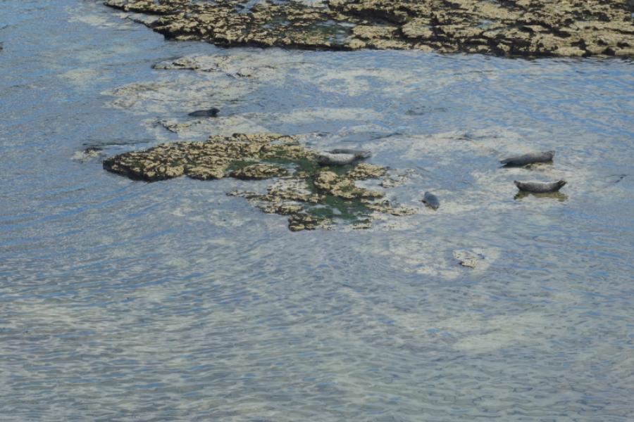
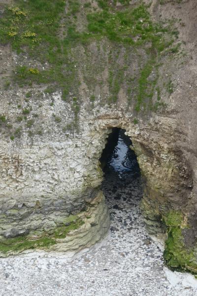
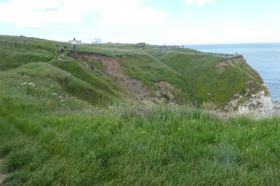
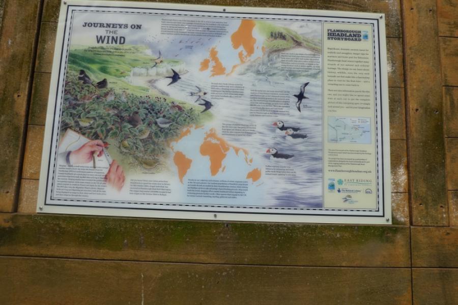
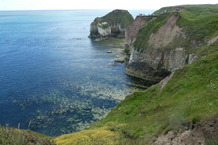
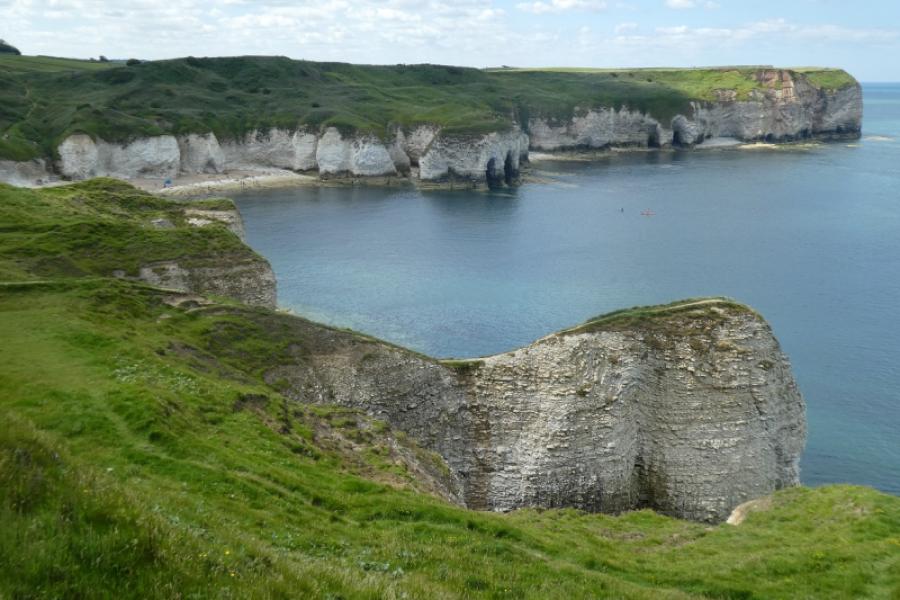
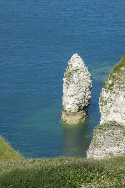
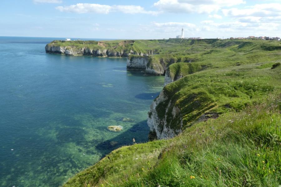
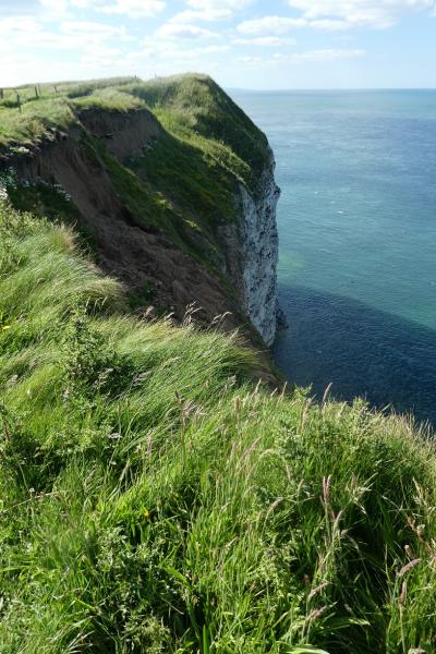
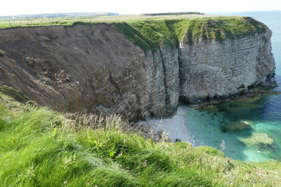
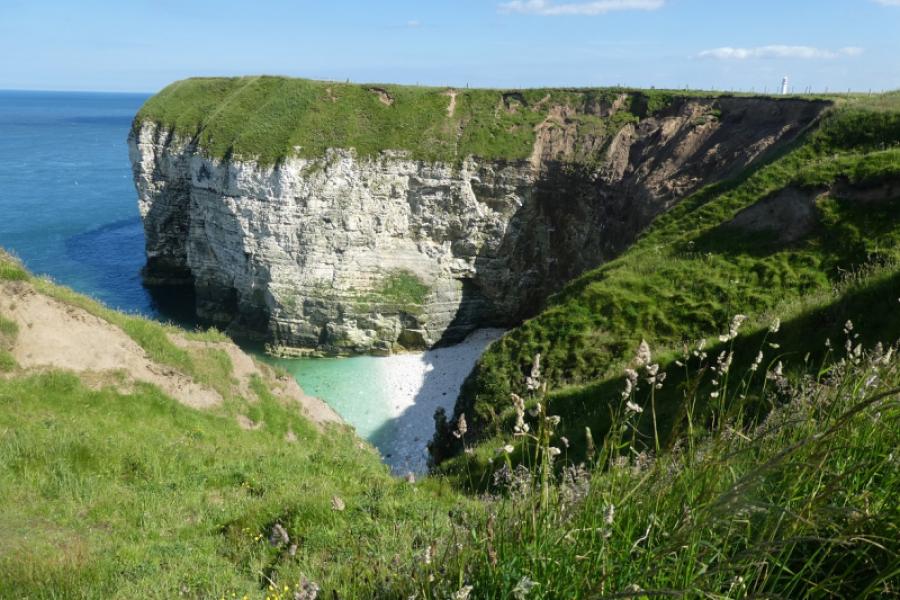
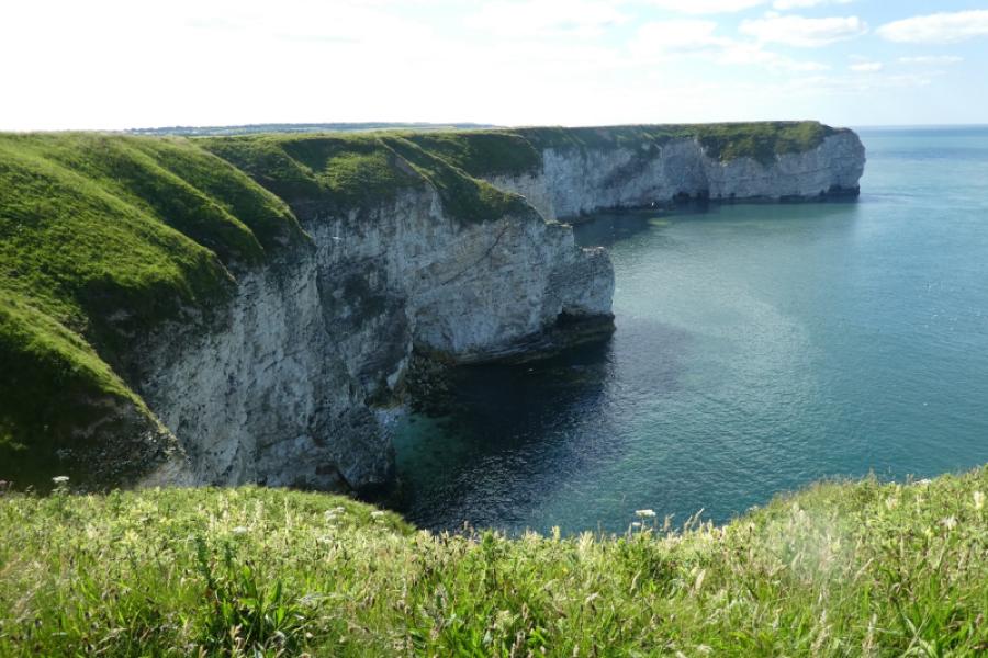
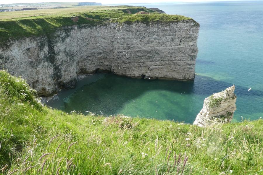
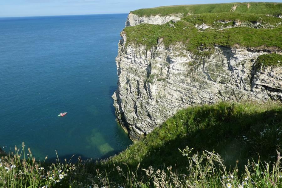
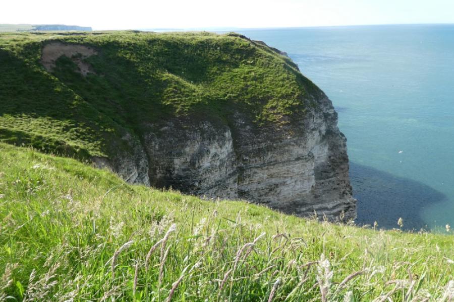
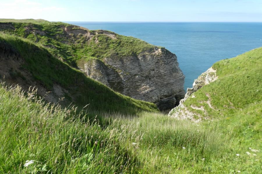
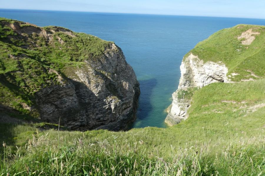
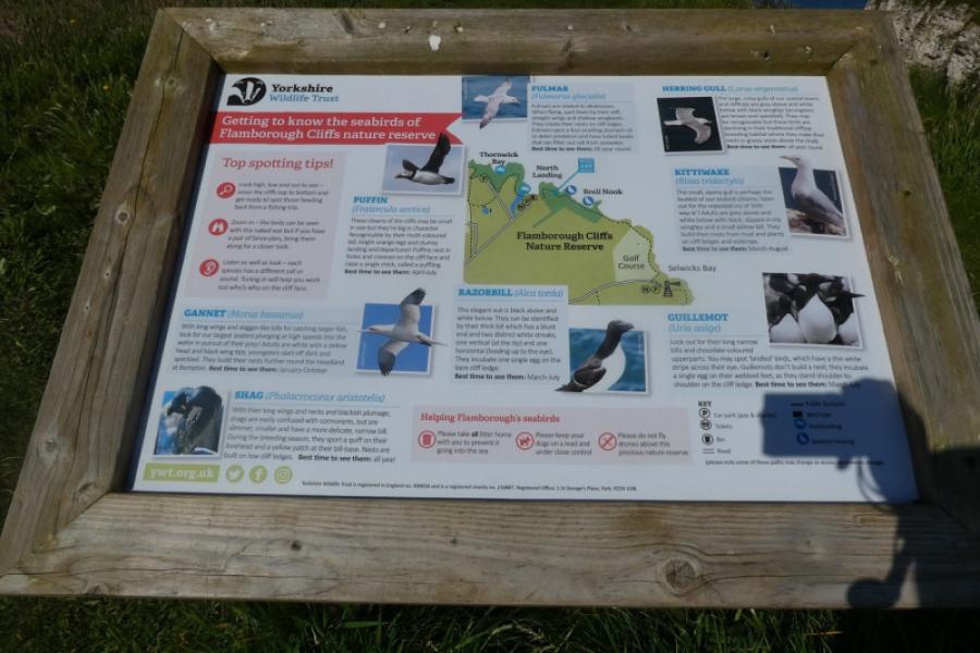
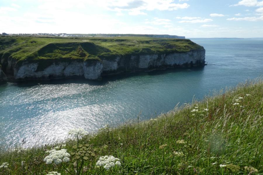
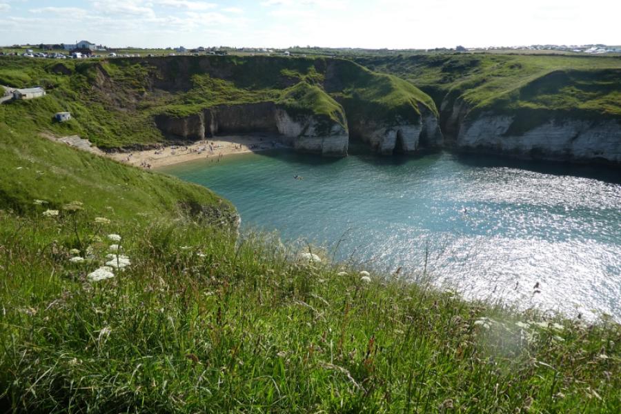
The North Yorkshire Coast is dramatic with many cliffs and rocky beaches and part of this walk is very scenic indeed. Unfortunately, the coastline is eroding rather quickly as the exposed rock is very soft and crumbly. Most of the route follows a path known as the Headland Way and goes along the cliff tops where care must be taken to keep away from the edge, especially with children and dogs as quite a few “paths” lead over the edge. The cliffs around Flamborough Head are more stable than those further north as they are mainly chalk rather than the softer shale further north. This is, arguably, the most scenic part of the North Yorkshire Coast. There is an RNLI station and shop at South Landing where basic refreshments are available. Flamborough Head has toilets, gift shop and cafe as does North Landing.
Route
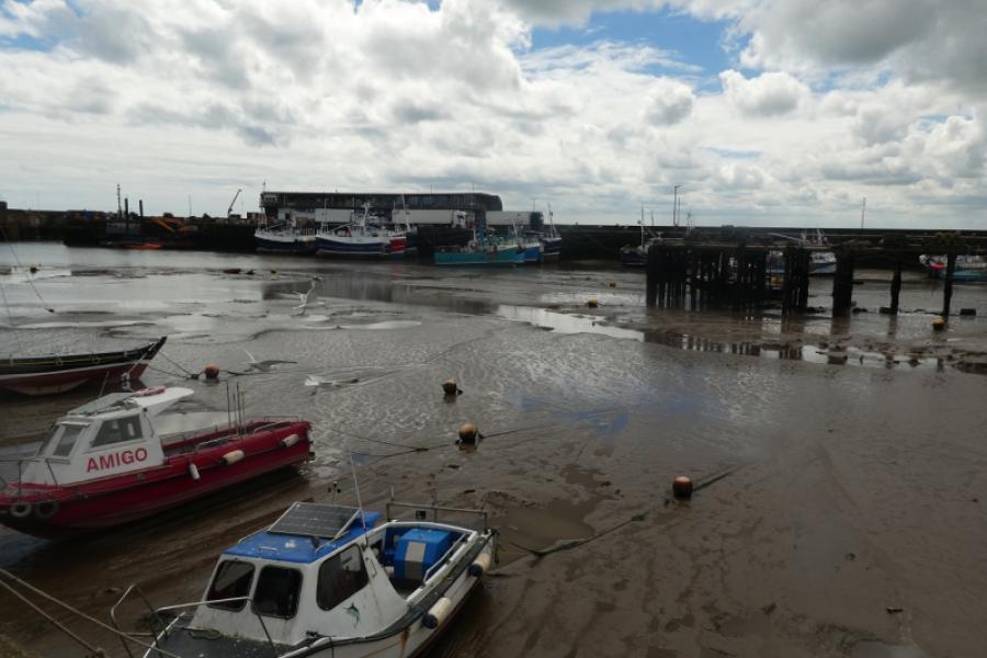
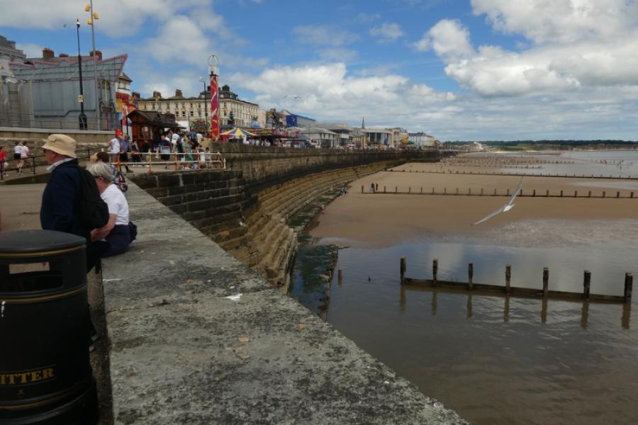
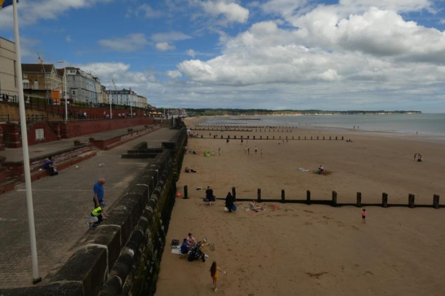
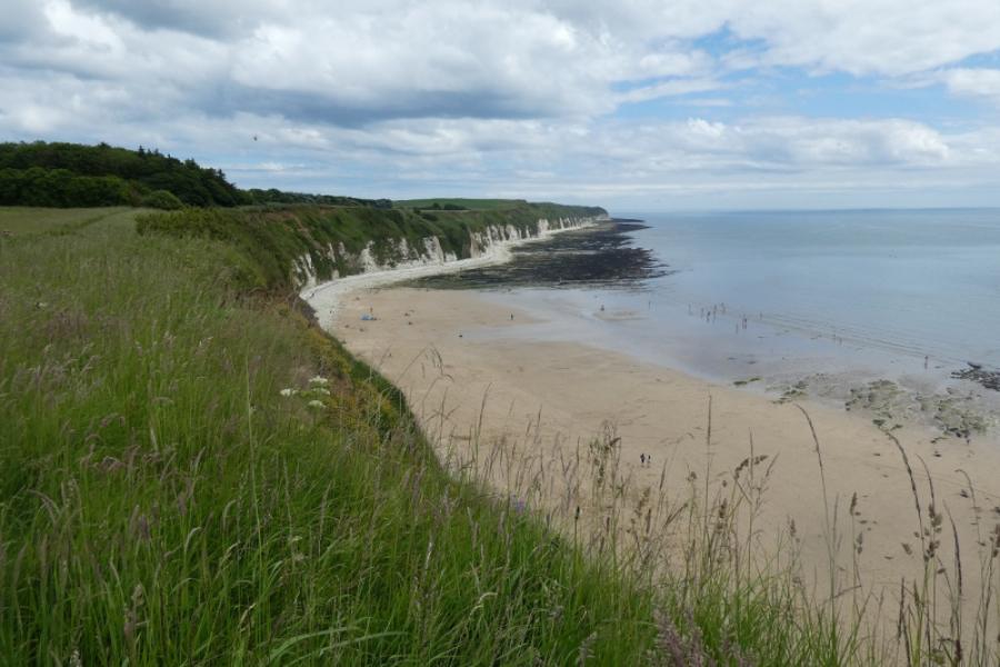
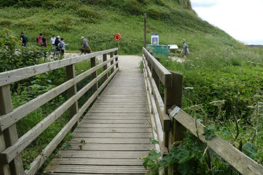
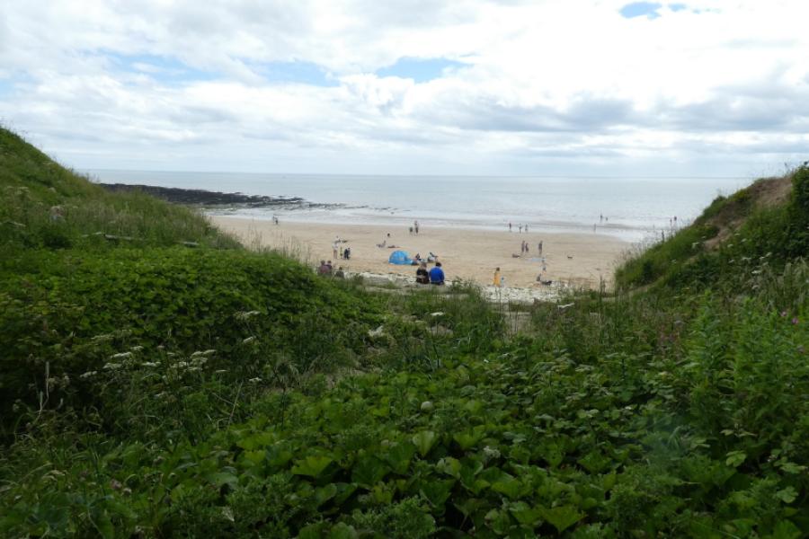
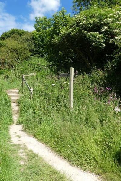
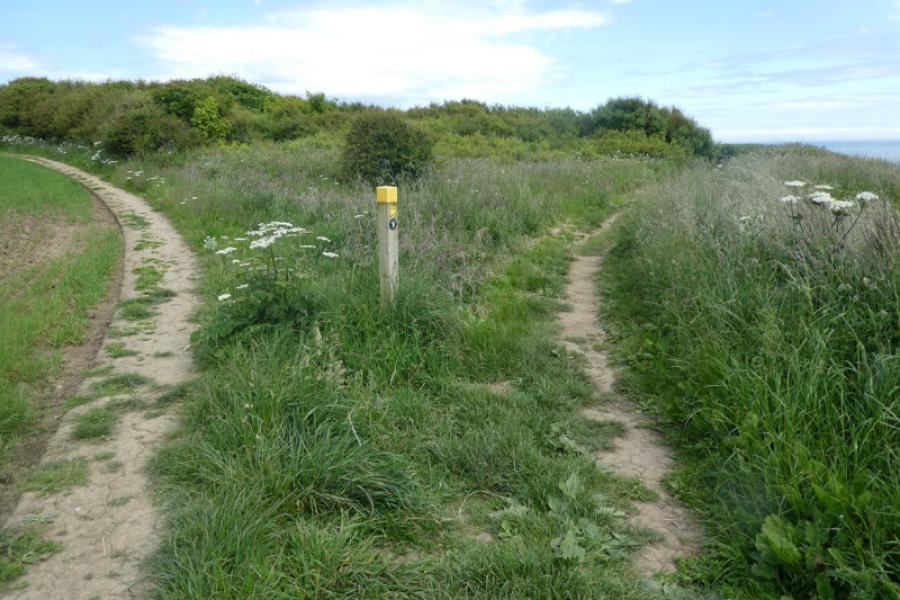
(1) From Bridlington bus station, find your way down to the harbour. Once on the main street, there are signs but there will be plenty of people around to ask. Once at the harbour, turn north, keeping the sea on your right. Pass the noisy and commercialised sea front to reach North Sands where it is a lot quieter. Continue on the path closest to the sea to reach a large grassy area where there is Sewerby Cricket ground with views to Sewerby Hall. Continue and the chalk cliffs will soon be seen. The route is fairly obvious but soon goes a little inland by a wood before descending to Danes Dyke where there is a bridge, signs and easy access to the beach.
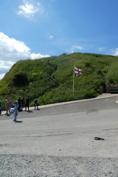
(2) Ascend the steps to climb out of Danes Dyke, again taking the path nearer to the cliffs at any junction. Continue easily until steep steps lead down to South Landing where there is an RNLI station and shop from which basic refreshments can be bought. There is also easy access to the beach.
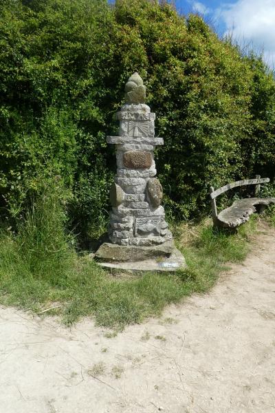
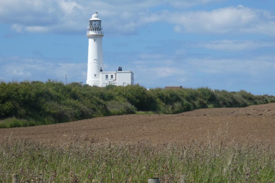
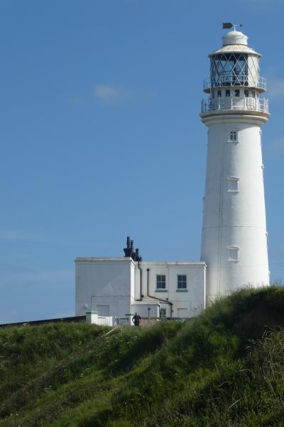
(3) Climb out of South Landing (steps) and continue along the cliff tops, mostly on the edge of fields of various crops. Soon the lighthouses (two of them) at Flamborough Head will come into view and the views of the cliffs become increasingly dramatic as one gets nearer and nearer to Flamborough Head where there are likely to be many people. The path leads naturally to the white lighthouse where there are toilets, a gift shop and a cafe. There is no access to the beach or sea at Flamborough Head apart from one steep path from near the white lighthouse.
(4) Continue on the path, still along the cliff tops which are still very scenic until the path curves around to reach North Landing where there toilets, a cafe and, sometimes, an ice cream van and fish and chip van.
Notes
(a) This walk took place on 23rd June, 2024.
Photos - Hover over photo for caption. Click on to enlarge. Click on again to reduce.