Get Lost Mountaineering
You are here: Scotland » 00 Galloway and the Borders » Edinburgh
Arthur's Seat, Edinburgh
Arthur's Seat, Edinburgh
Start/Finish
Edinburgh, Waverley Railway Station. There is no easy or reasonably priced car parking nearby so best to find a park and ride on the outskirts of the city and catch a bus in, getting off either on Princes Street or at the bus station then finding your way to the railway station which is just off Princes Street. If staying to the north of Edinburgh, the train ride over the Forth Railway Bridge is well worth taking.
Distance/Time
6 km About 2 – 3 hours
Peaks
Salisbury Crag, 174 m, NT 267 731.
Nether Hill, 239 m, NT 275 727.
Arthur's Seat, 251 m, NT 275 729.
Crow Hill, 238 m, NT 277 727.
Whinny Hill, 178 m, NT 278 733.
No map really needed. Even on the Explorer map, this area is quite small and there are also so many paths on the ground not shown on the map.
Introduction
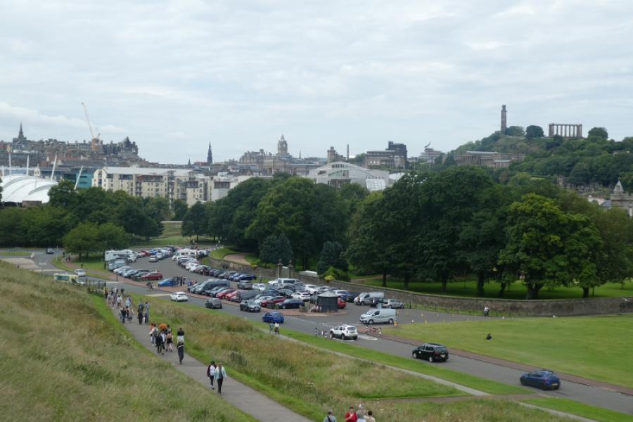
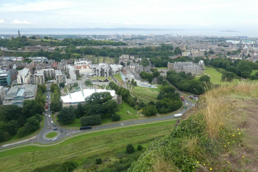
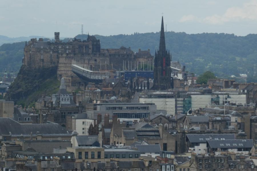
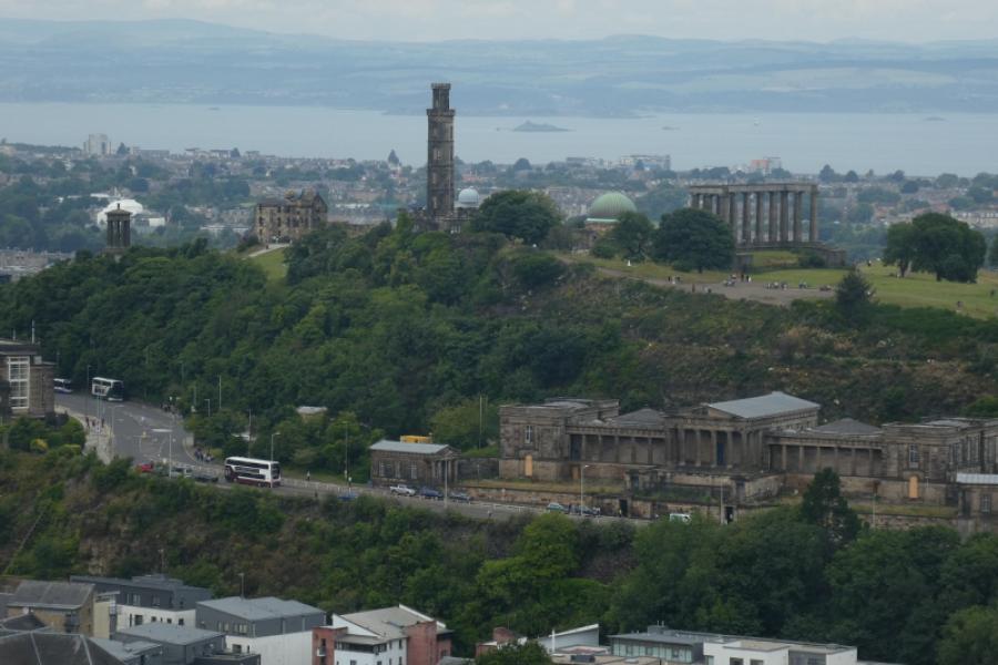
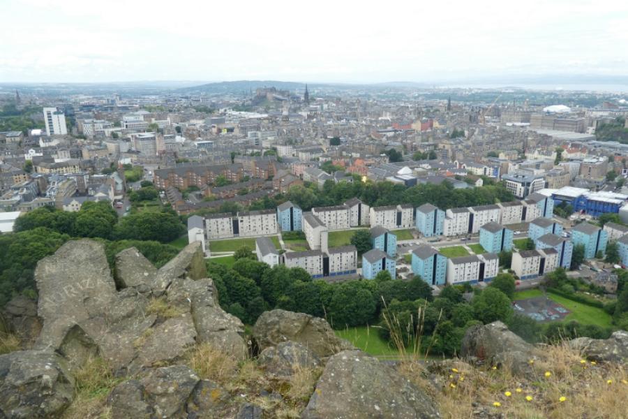
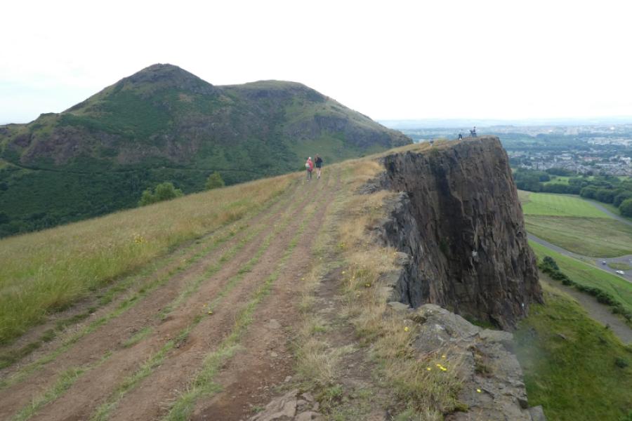
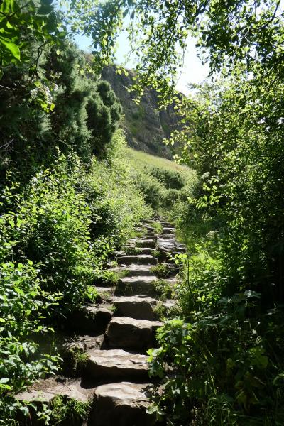
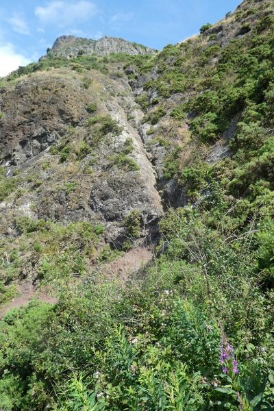
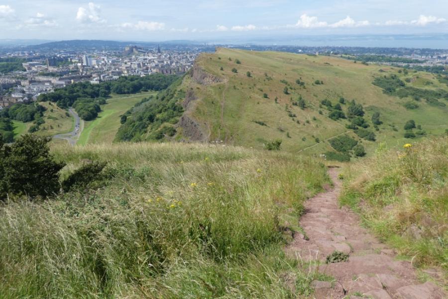
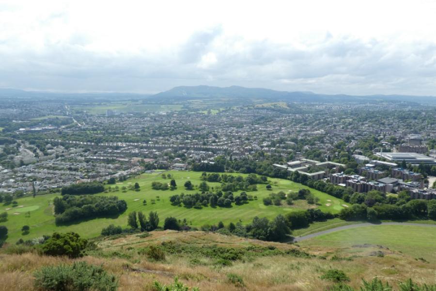
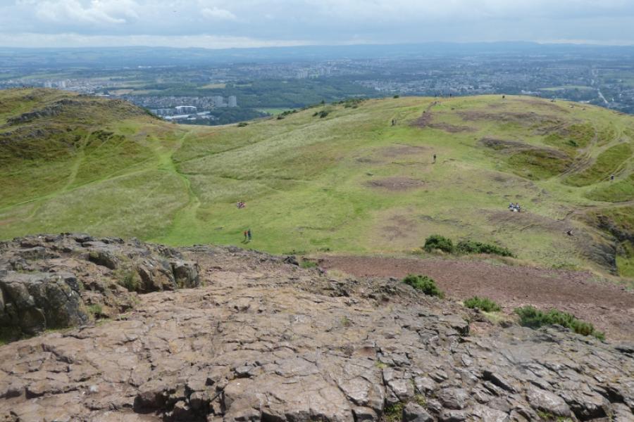
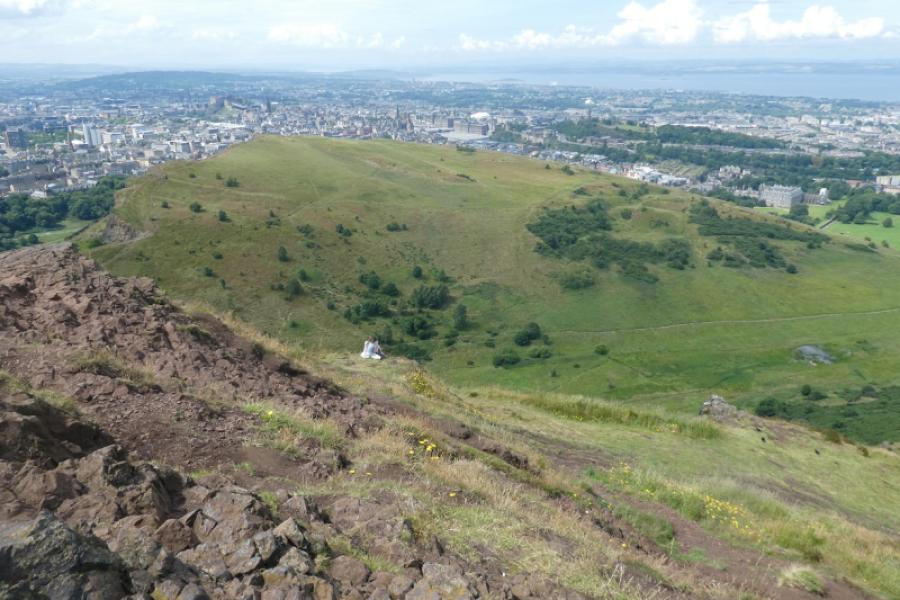
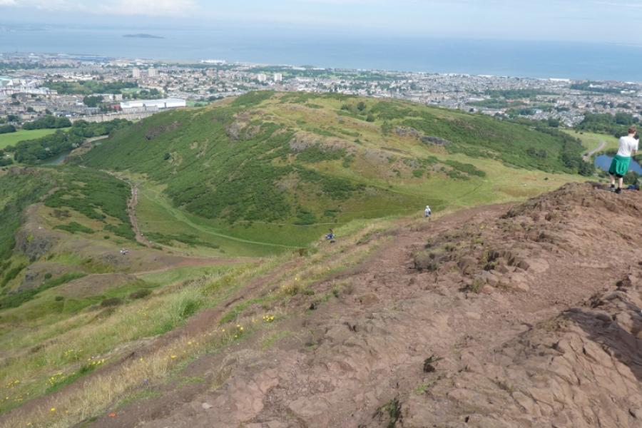
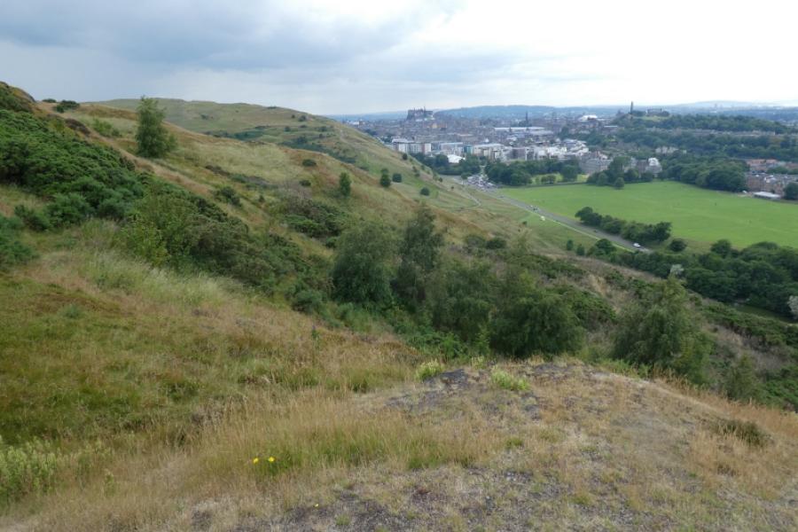
This is an exceptionally popular walk as it is so close to the centre of Edinburgh which is always busy with tourists. Despite the modest height of these hills, the climbs are rugged and steep in places so do wear sensible walking gear. The views over the city and River Forth are excellent. On clear days, the Pentland Hills will also be seen. Note that there are big drops off Salisbury Crag with no protective fencing so keep small children and dogs under close control.
Route
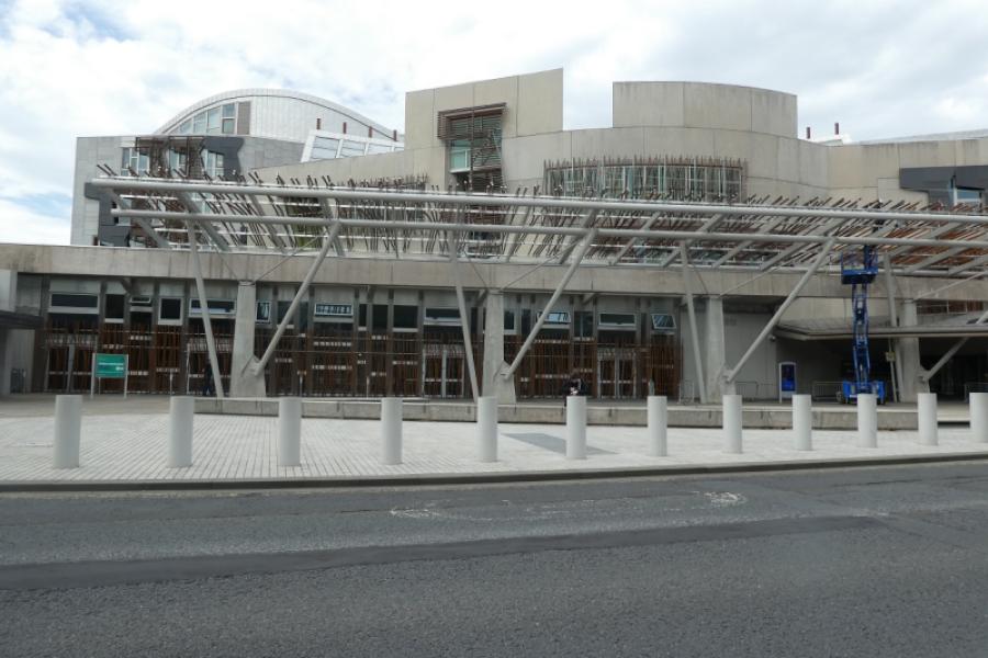
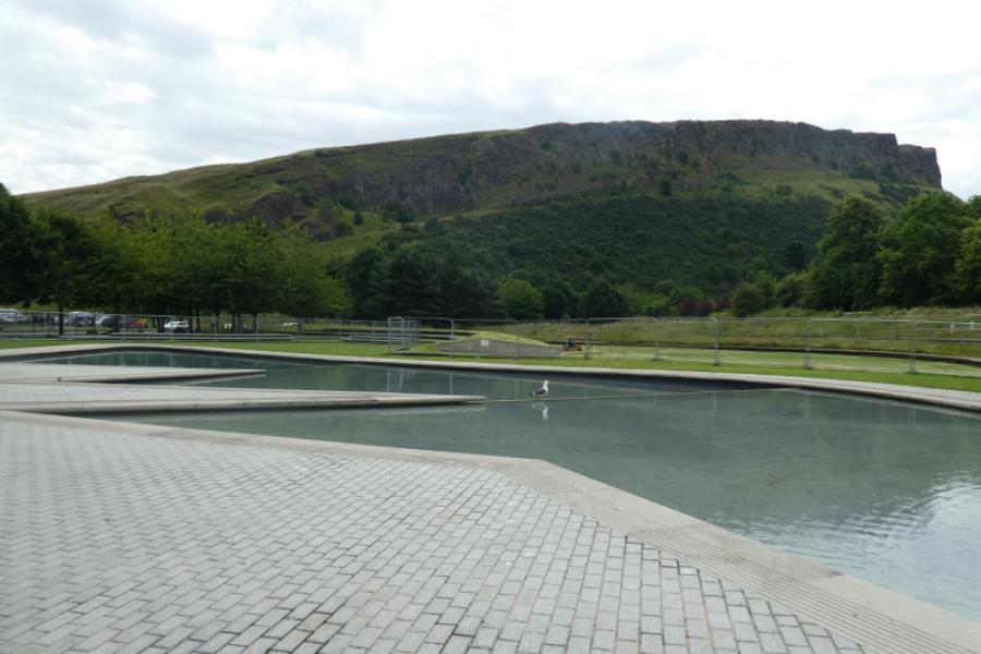
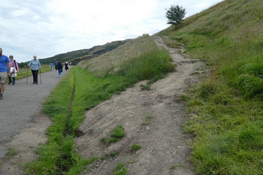
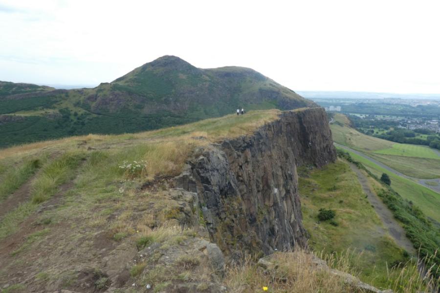
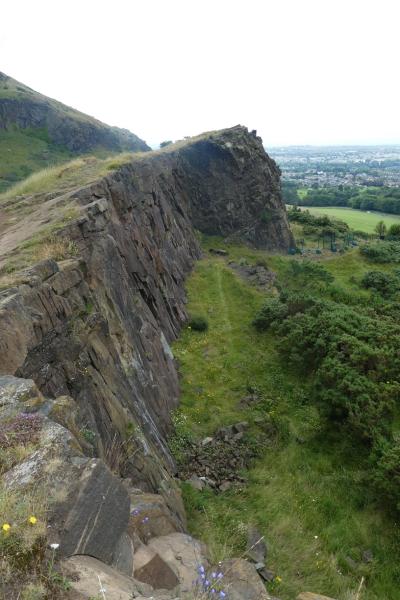
(1) Depending which entrance to Waverley Station you start from, make your way to The Royal Mile which is a sloping street coming down from the castle. Walk down the Royal Mile to one of the entrances to the Royal Palace of HolyroodHouse. Turn right. The Scottish Parliament should now be on your right. Continue past the obvious pools of water beyond which Salisbury Crag should be very obvious. Follow the road around to the left so that you are walking below the crags on a wide footpath. Soon a soil path forks right and upwards. Follow this up to walk along the top of the crags. There is no cairned summit and it isn't too obvious where the highest point is but this is Salisbury Crag, 174 m.
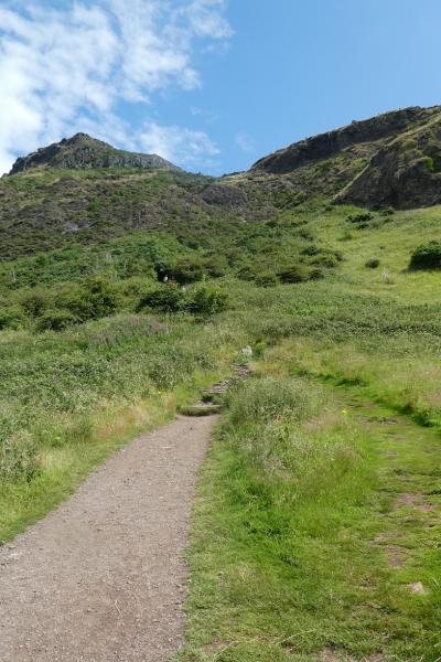
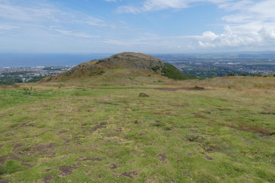
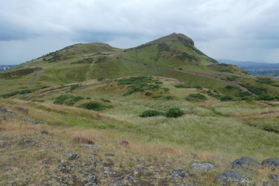
(2) Continue along the top of the crags and follow a good path down to the col below Arthur's Seat and Nether Hill. There are several routes available but this walk goes straight ahead on the steepest route which is stepped for much of the way. After the steps end, continue up to reach the highest point (no cairn) which is Nether Hill, 239 m.
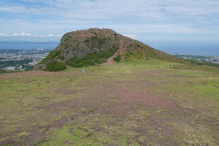
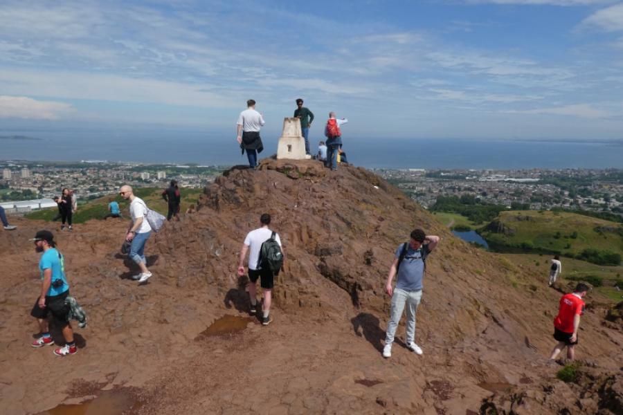
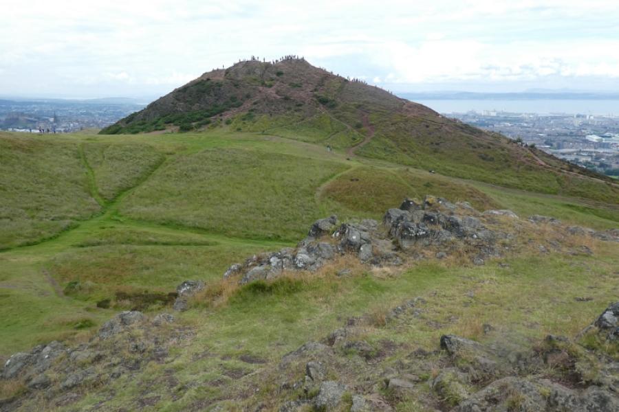
(3) Descend ever so slightly, almost due north then make a short ascent to the usually very busy white trig point, on a rocky outcrop, which marks the summit of Arthur's Seat, 251 m.
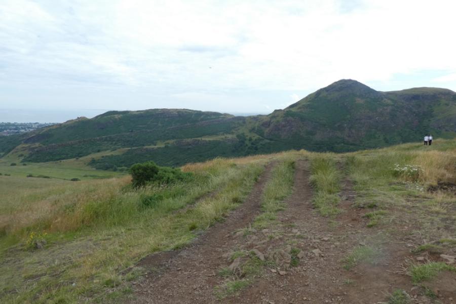
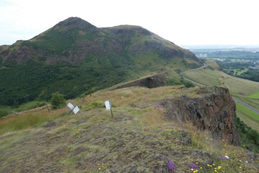
(4) Descend roughly south east and easily ascend Crow Hill which is about the same height as Nether Hill. There are notices on this hill banning the use of metal detectors as it is thought that the hill was once a prehistoric fort. There is no obvious cairn but this is Crow Hill, 238 m.
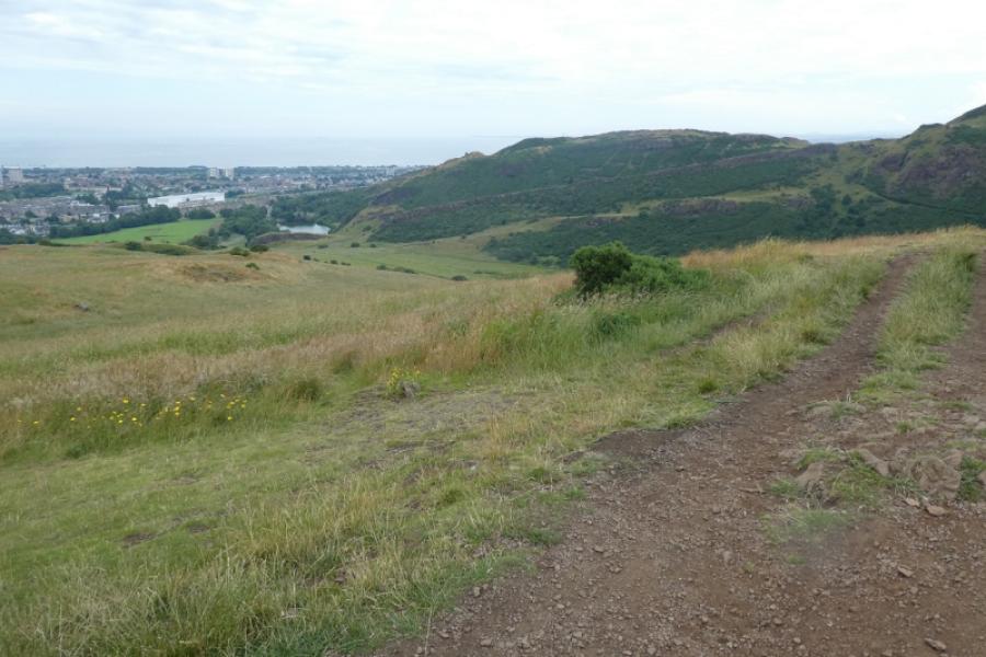
(5) Descend roughly north with Arthur's Seat very prominent to your left. Descend to a grassy col then pick a way up the other side where there are many tops of very similar height. The highest of these tops is the summit of Whinny Hill, 178 m and, again, there is no cairn.
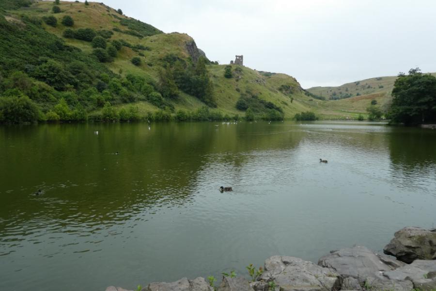
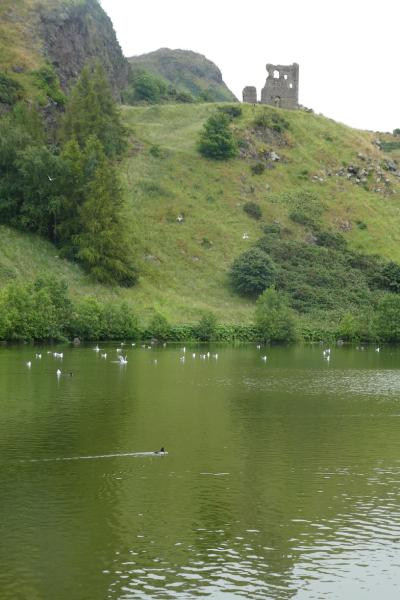
(6) There are numerous paths down to the road by St. Margaret's Loch but be careful not to end up in deep gorse. If you head roughly NNW, you should come down near or by the ruins of St. Anthony's Chapel which is above the loch. If you don't find this path and end up on the road and turn left then you will walk past the loch anyway and be able to look up at the ruins. Continue to pick up the outward route.
Notes
(a) This walk took place on 15th July, 2024.
Photos - Hover over photo for caption. Click on to enlarge. Click on again to reduce.