Get Lost Mountaineering
You are here: Scotland » 04 Loch Leven and Loch Linnhe to Loch Ericht » Mamores to Corrour
Far Eastern Mamores: Sgurr Eilde Mor, Binnein Beag & Binnein Mor
Far Eastern Mamores from Kinlochleven
Start/Finish
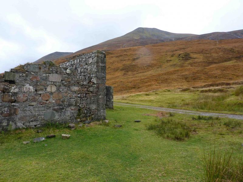
Grey Mares Waterfall car park, Kinlochleven. From bridge over River Leven, go N then take first right (signed Grey Mares Waterfall). At end of the street there is a white church, go right and the car park is almost immediately on the left.
Distance/Time
19 km Approx 10 hours
Peaks
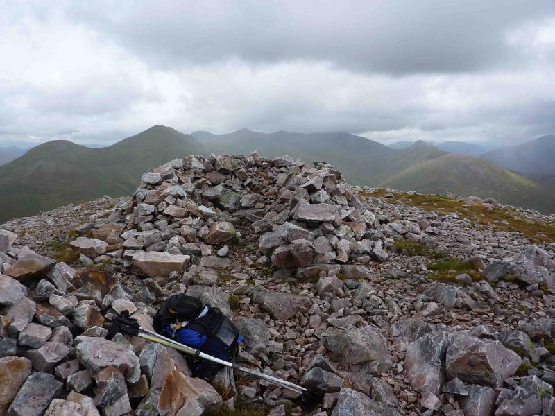
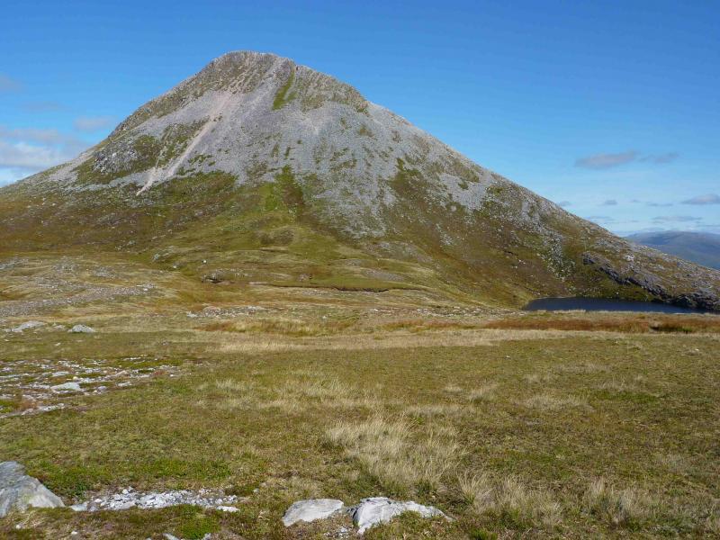
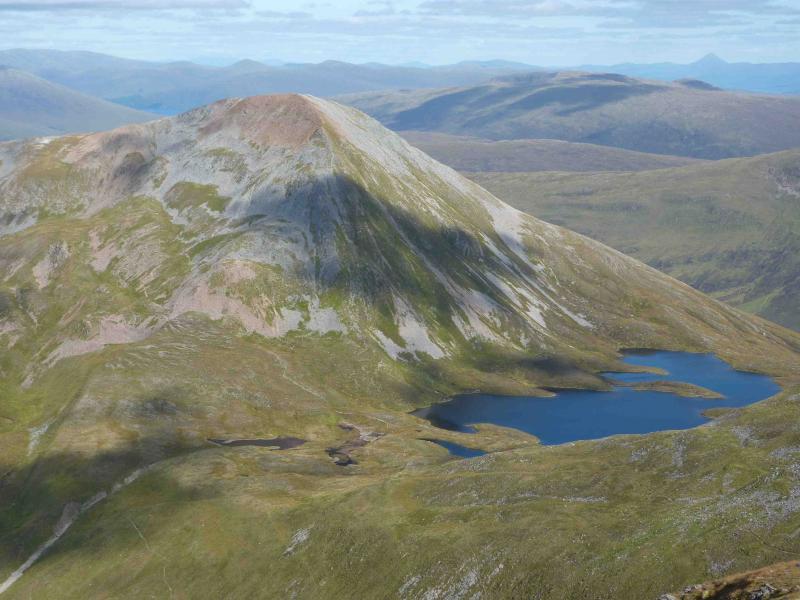
Sgurr Eilde Mor, 1010 m, NN 230 657.
Binnein Beag, 943 m, NN 221 677.
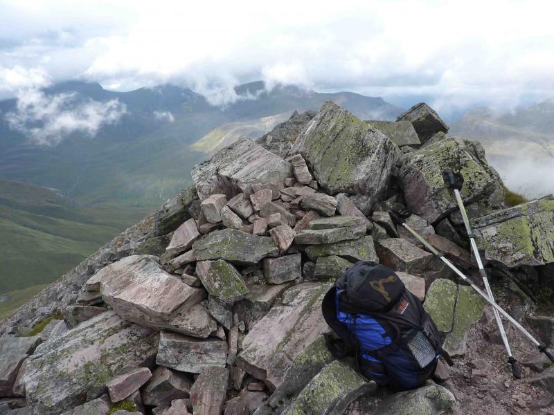
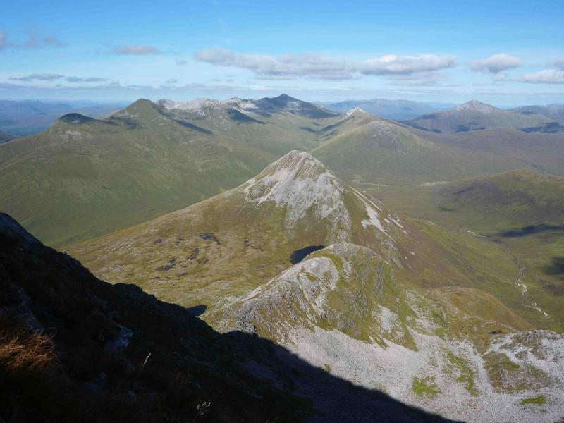
Binnein Mor, 1130 m, NN 212 663.
Binnein Mor S Top, 1062 m, NN 211 656.
Sgurr Eilde Beag, 956 m, NN 219 652. OS Sheet 41.
Introduction
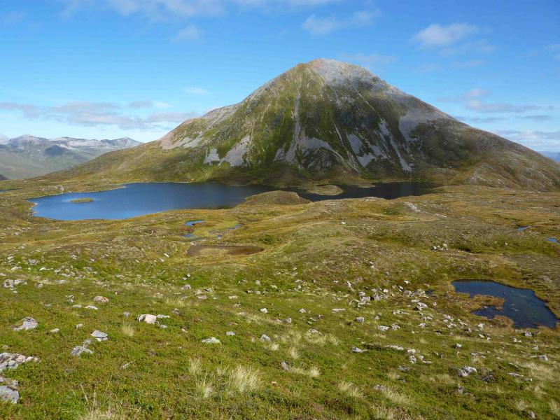
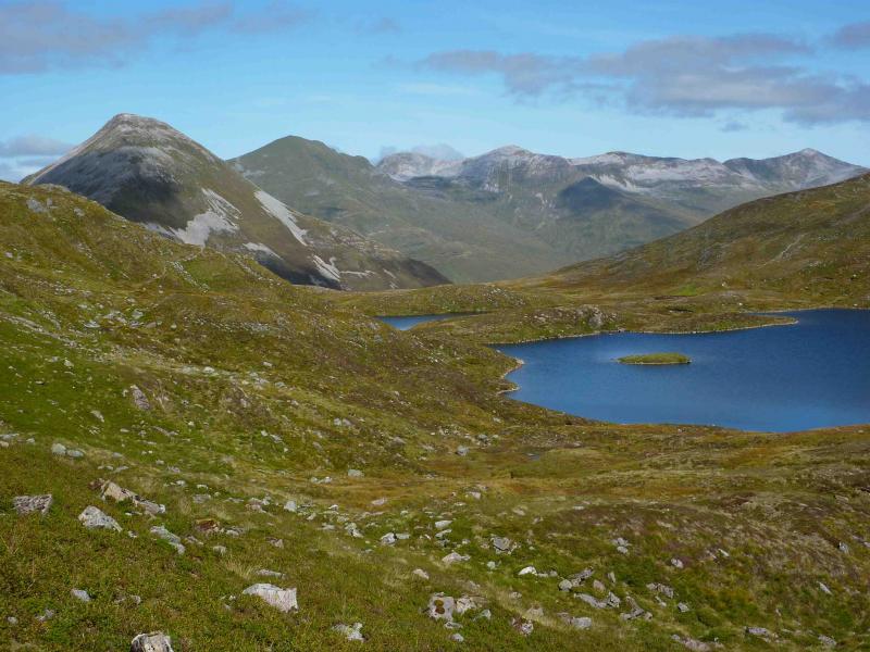
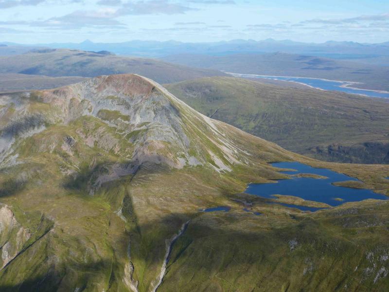
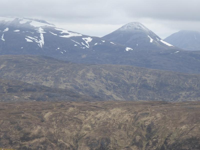
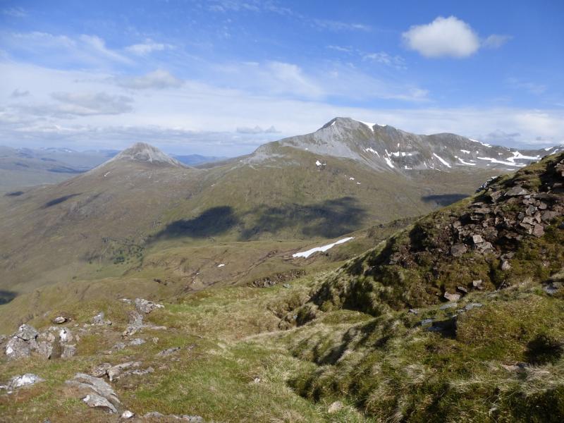
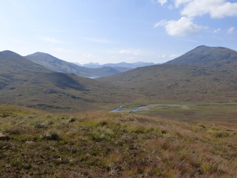
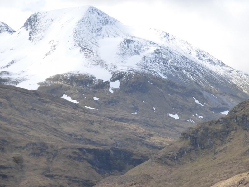
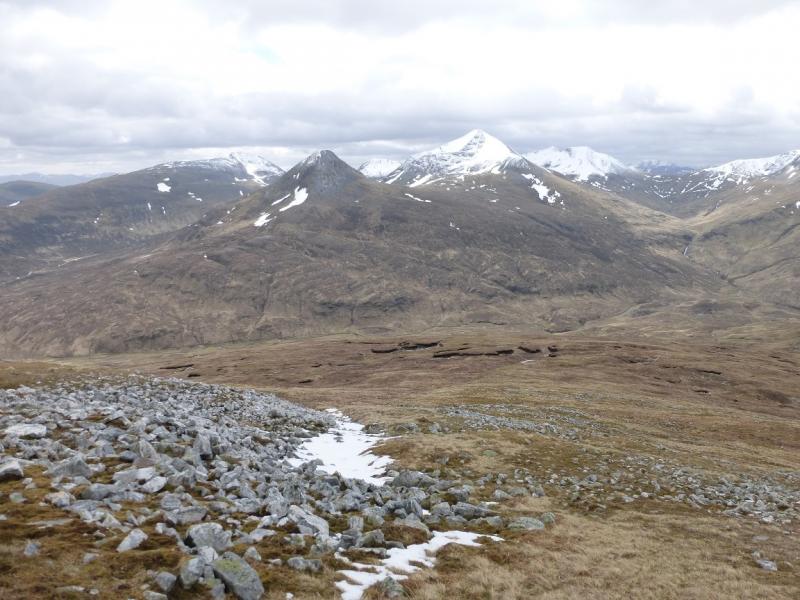
Outstanding views in all direction from this walk especially down the full length of Loch Leven but also to the Glencoe peaks, Ben Nevis, Aonach Beag, Grey Corries, Loch Ossian peaks, Buachaille Etive Mor and even Schiehallion.
Route
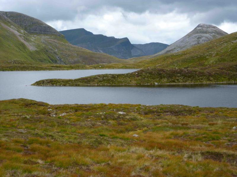
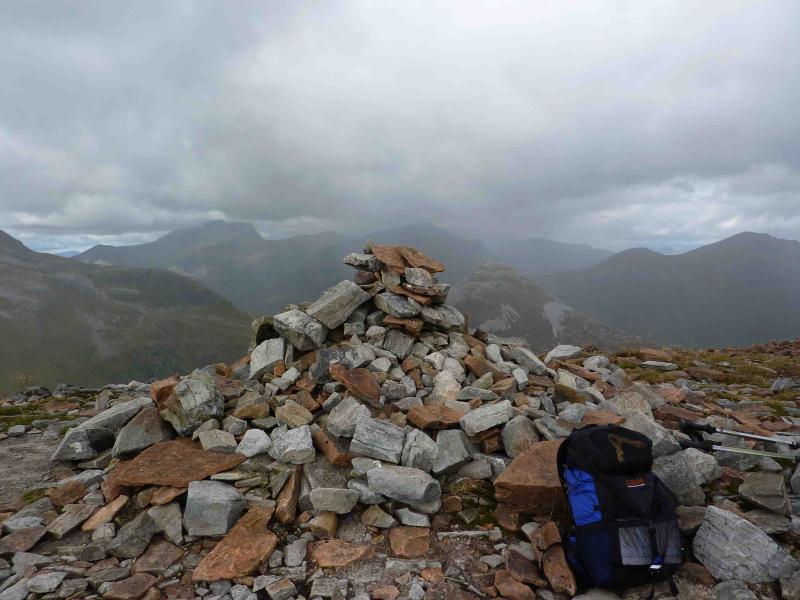
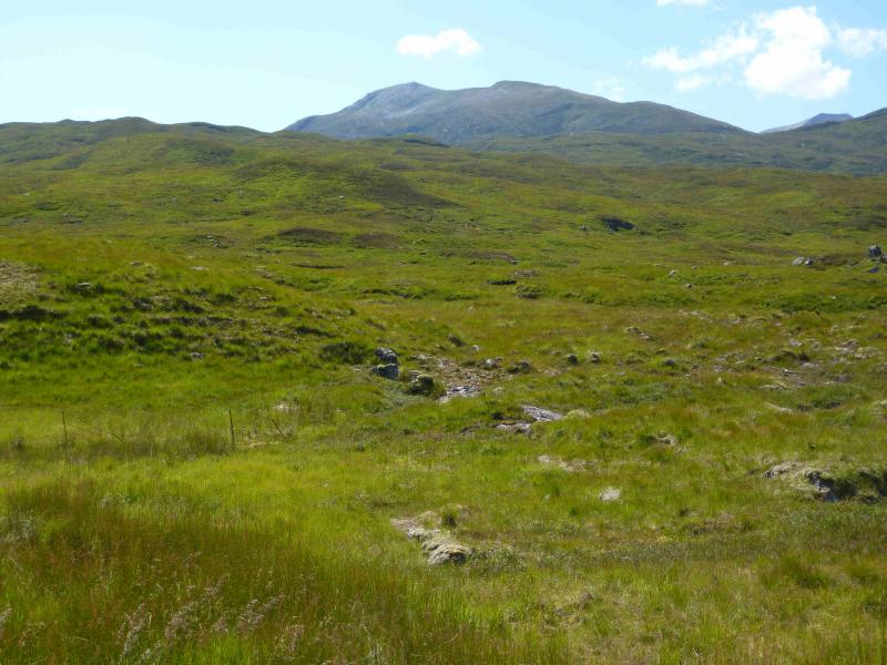
(1) Walk up the obvious signed footpath at the side of the car park. At the end of the path, go right (red arrow). Follow path until reaching a white cottage on the left (if you go much further you will reach another street). Go left up the left side of this cottage on a path which is initially faint but, within 10 m, there is another red arrow post and the path is much more distinct. Follow path until a T junction is reached. Go left and converge towards a stream. Within 50 m, take a reverse right fork and cross stream to reach a multi-coloured marker post. The red arrow is not visible until the post is reached and points uphill. Follow path uphill through the wood (path diverges in places) to emerge to the N of Meall an Doire Dharaich. The path levels off then descends slightly to reach a cairn by the main track from Mamores Lodge to Loch Eilde Mor. Turn left (W) onto track then, almost immediately, turn right (cairn) on to an obvious stony path going NE. Follow this path uphill, crossing a stream, until it starts to level out. At a cairn where the stony path starts to zig-zag up the S flank of Sgor Eilde Beag, go straight on, on a grassy/peaty path to pass to the S of Coire an Lochan and on to the S ridge of Sgurr Eilde Mor. The path is quite distinct initially but becomes fainter as height is gained and crosses some boulder fields but navigation should not be a problem. In places, the path picks its way through some minor rocky/craggy areas before levelling off to reach the large summit cairn of Sgurr Eilde Mor, 1010 m.
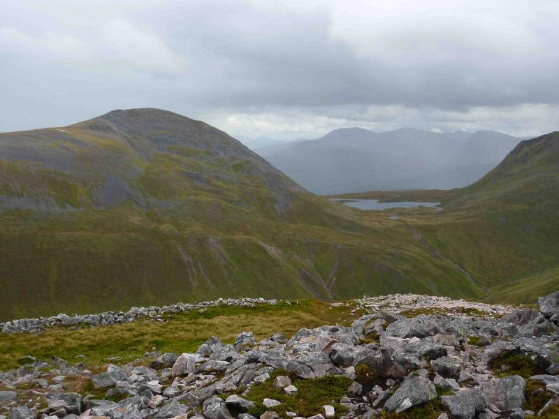
(2) From the summit, an obvious path goes W along a narrow ridge before descending steeply to the right down loose scree which needs care. The path disappears in places but, with care, can be picked up again and becomes more distinct lower down as the terrain becomes more grassy. Go across an almost level grassy plateau to the N of Coire an Lochan to join the main path descending N. Follow path down some way and along the side of a burn. The path bottoms out where a large gully on the right joins the burn. Follow the path up towards the lochan to the SW of Binnein Beag then take the obvious (to begin with) path up its SW ridge before the lochan is reached. The path is intermittent when boulder fields are being crossed but leads easily to the summit of Binnein Beag, 943 m where there is a large cairn next to a shelter cairn.
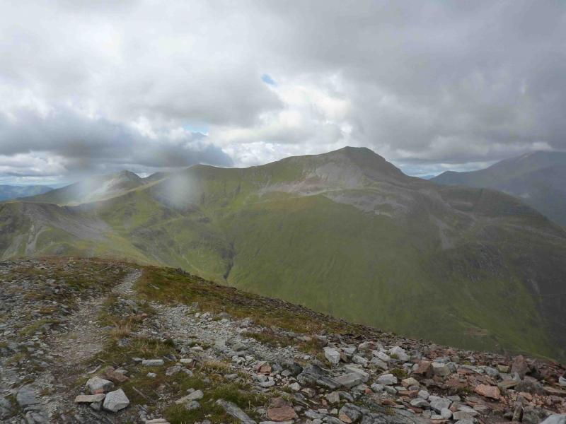
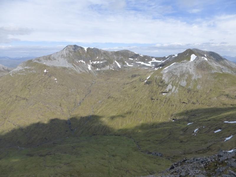
(3) Retrace towards the lochan but pass by on its N side across an almost level bealach. Walk WSW, up steepening grassy slopes, to reach the N ridge of Binnein Mor and follow this ridge S (path soon appears) to the N top (no cairn) then along the rocky summit crest (avoiding path on west, right, side) to reach slightly higher summit (no cairn) of Binnein Mor, 1130 m, the highest peak in the Mamores.
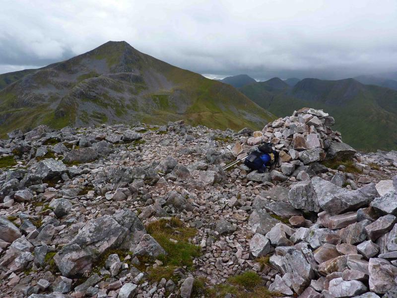
(4) Continue S along the well defined crest, descending on mainly grassy ground before ascending slightly to reach the summit cairn of Binnein Mor S Top, 1062 m.
(5) Descend SE, still on mainly grassy slopes, following a path which generally follows the left edge before ascending to the summit cairn of Sgor Eilde Beag, 956 m.
(6) Descend SE then S (some very small cairns and a faint path). Once the crest is left, a very obvious path zig-zags down to the cairn where the grassy/peaty path towards Sgurr Eilde Mor started. Follow the outward route back to Kinlochleven.
Notes
(a) This walk took place on 27th August, 2010.
Photos - Hover over photo for caption. Click on to enlarge. Click on again to reduce.