Get Lost Mountaineering
You are here: England » Lake District » 6 North Western Fells
Whiteside, Hopegill Head & Sand Hill from Lanthwaite Green
Whiteside, Hopegill Head & Sand Hill from Lanthwaite Green
Start/Finish
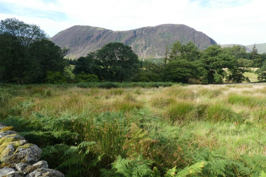
Lanthwaite Green free car park which will hold about 15 cars if parked sensibly. This is about a mile from the road to Lorton and Cockermouth and about 3 miles from Buttermere village. The road is very narrow in places so be sensible if looking to park on the road.
Distance/Time
8 km About 4 - 5 hours
Peaks
Whiteside West Top, 707 m, NY 170 219.
Whiteside Central Top/Summit, 719 m, NY 175 221.
Whiteside East Top, 703 m, NY 178 222.
Hopegill Head, 770 m, NY 186 222.
Sand Hill, 756 m, NY 187 228. OL4 North Western Lakes
Introduction
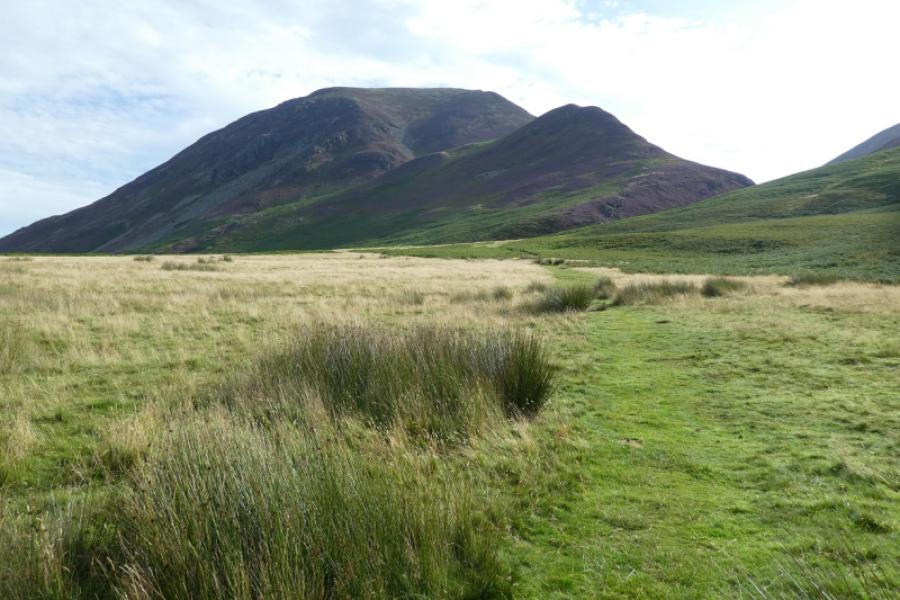
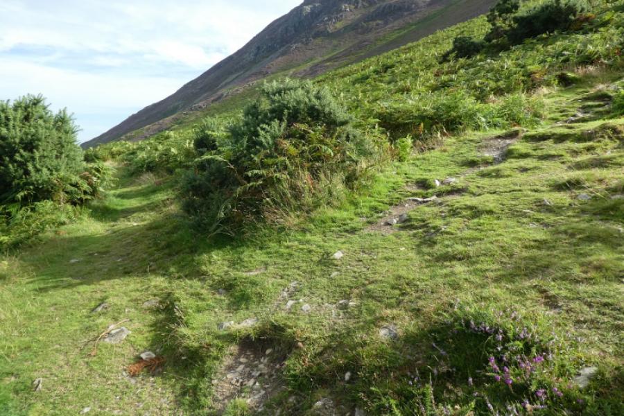
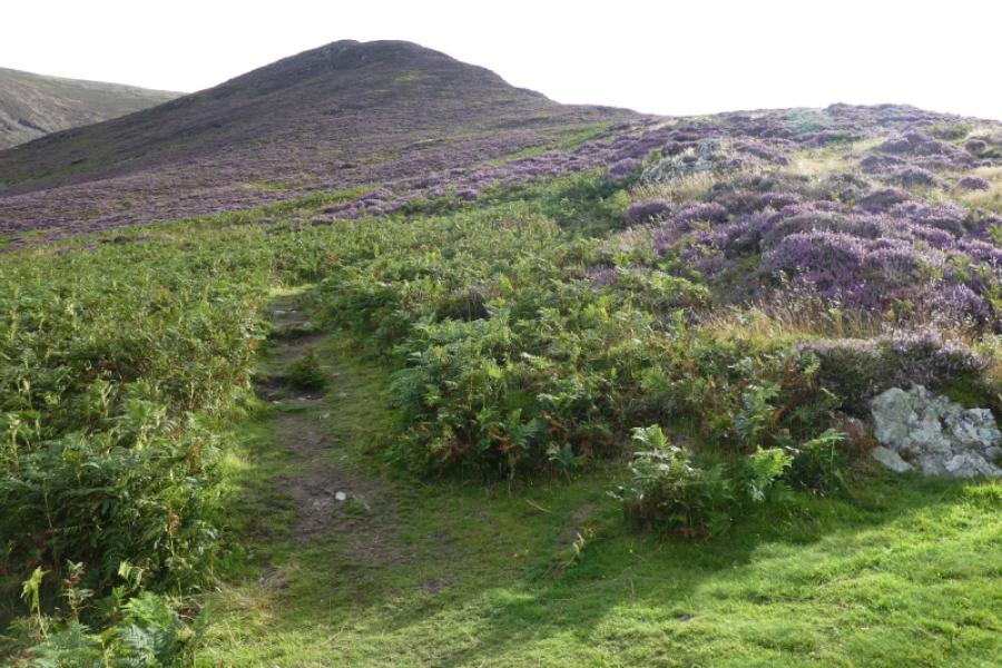
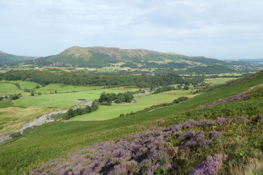
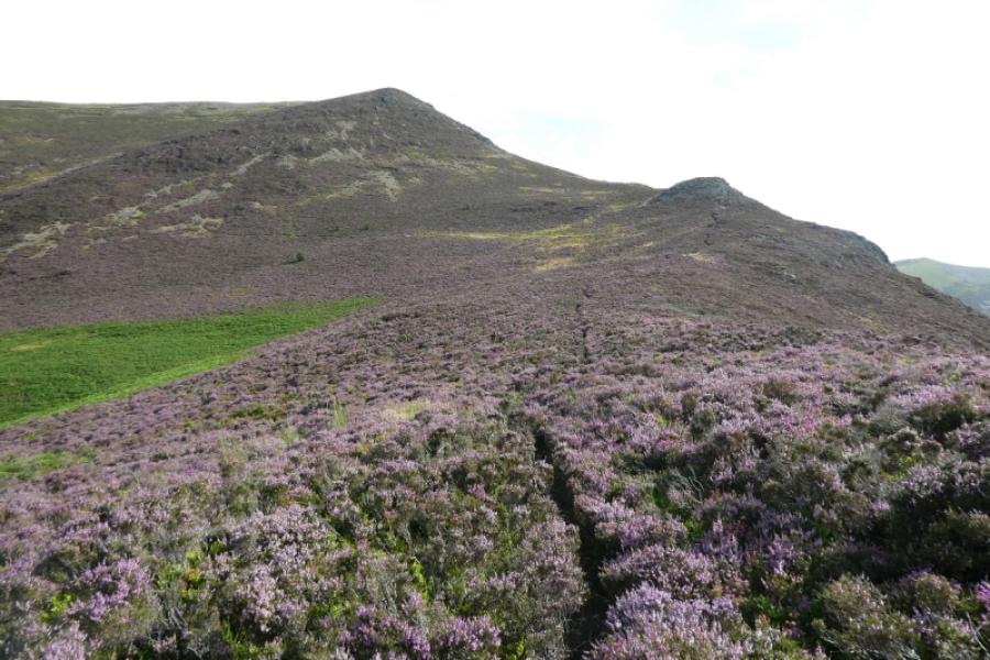
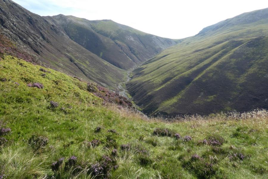
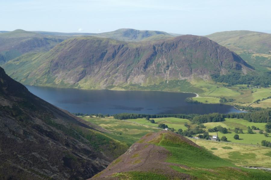
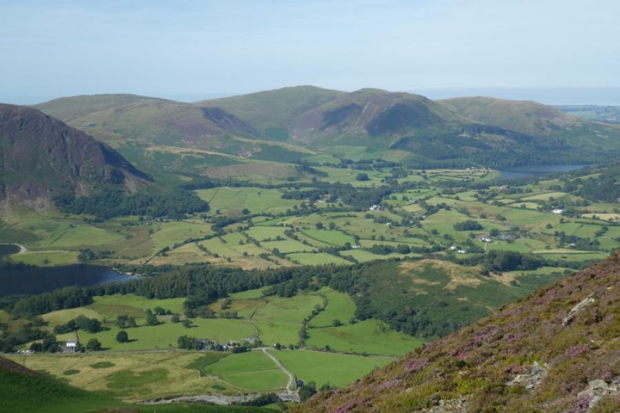
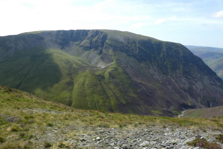
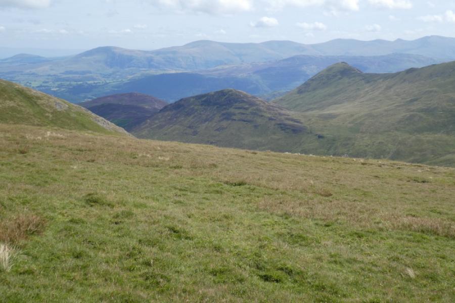
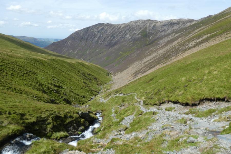
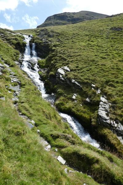
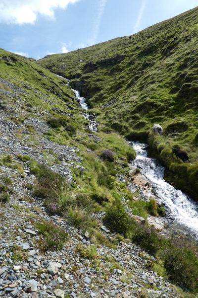
The ascent of Whiteside is very pleasant on a fairly good path although it does cross a lot of rock which will be very straightforward to the experienced fellwalker in dry conditions. There is some doubt as to which top is named as “Whiteside” but there is no doubt that the central top is the highest. The path passes through a long section of heather so bare legs may not be a good idea. The descent comes down Gascale Gill which is very pleasant although there are some awkward rock steps along the way. Views are excellent expecially to close by Grasmoor, Grisedale Pike and Crag Hill. Some guide books have a very awkward ascent from lower Gascale Gill but there is now a much easier path as detailed below. There are no obvious cairns on any of the Whiteside tops.
Route
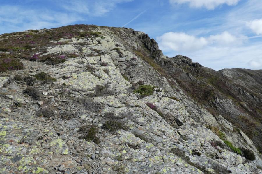
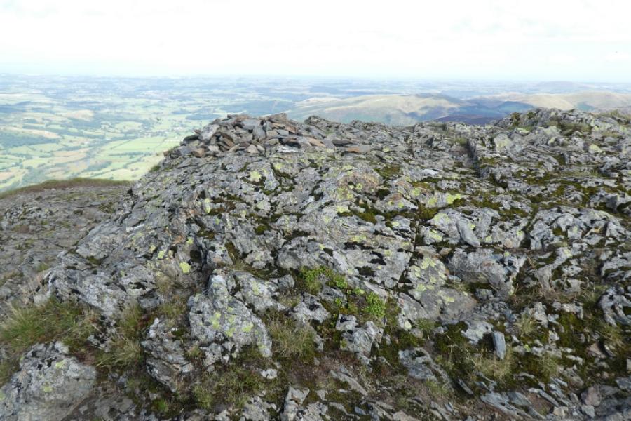
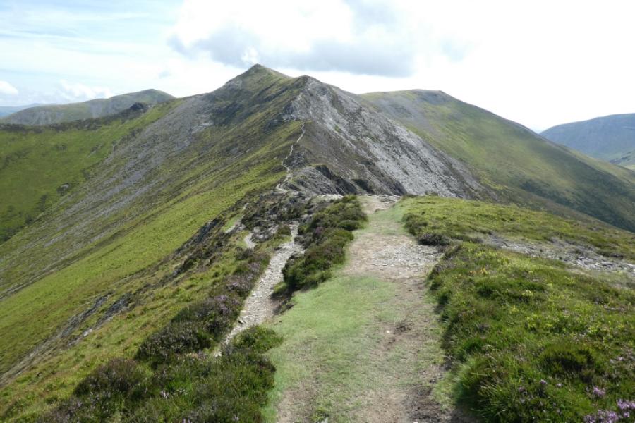
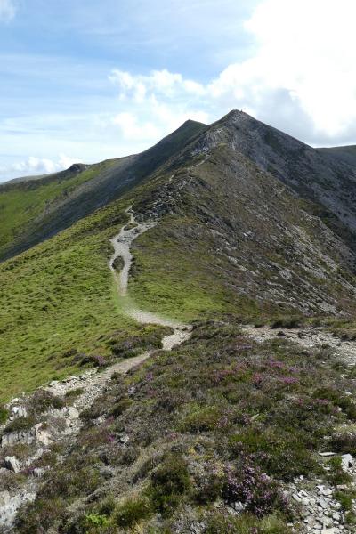
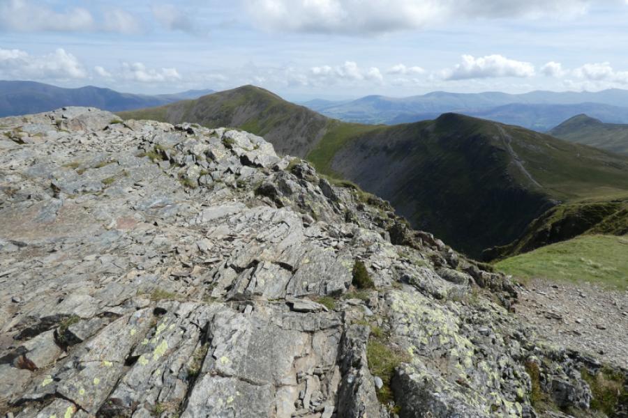
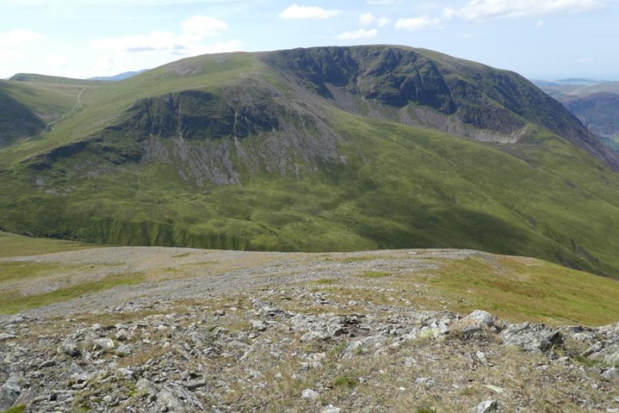
(1) Take the obvious grassy path opposite the car park and follow it to the bridge over Liza Beck. Cross over then go left. Very soon after a fainter path forks right which is the path up Whiteside. Follow the path which climbs steadily. Go over Whin Ben, no cairn, and continue up, passing through a long line of heather. The path is quite easy to follow and alternatives are available from time to time. Be wary when you reach some easy angled slabby rock ahead and the path goes around to the right. Do not follow the path here but go up the slabby rock. The path to the right ends below rock which is much harder to negotiate than the slabby rock. Continue up until the angle eases and you reach the west top of Whiteside where there seems to be no cairn. Walk easily along the crest to the next top which is the true summit of Whiteside, 719 m. Again there is no obvious cairn. Continue easily along the crest to the east top where there is a small pile of stones to the north, left, of the path.
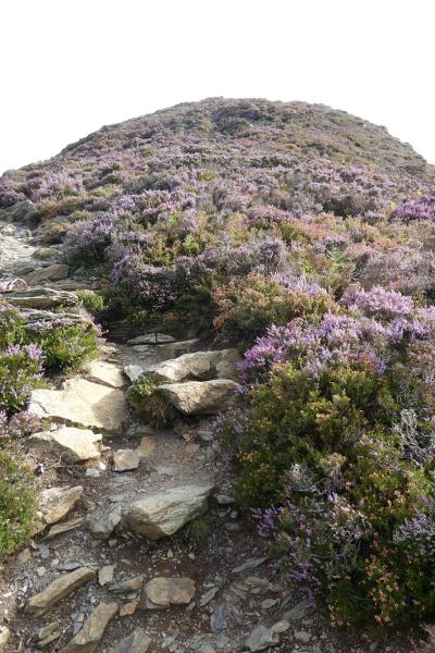
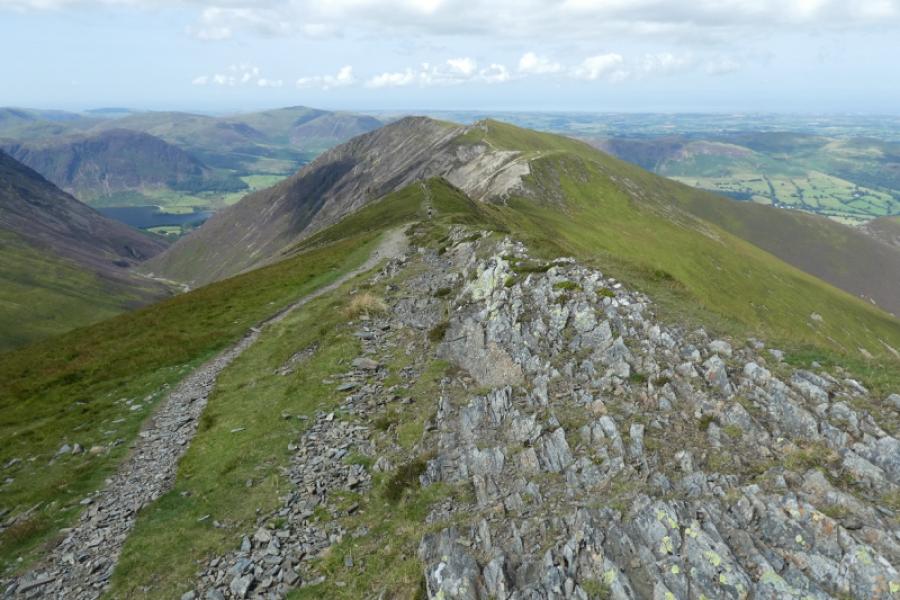
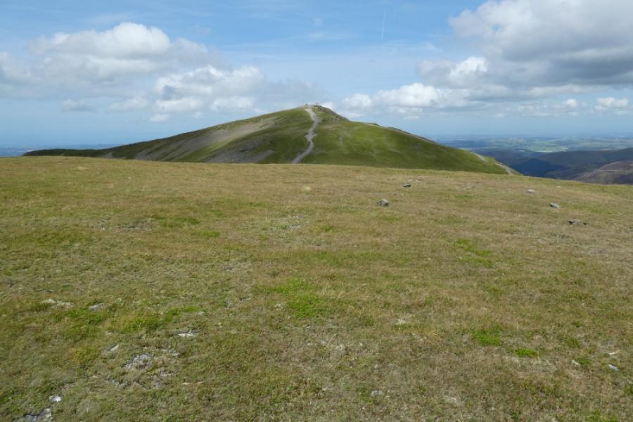
(2) Continue along the crest on the path which bypasses any awkward sections to reach the col below Hopegill Head. Ascend easily, bypassing anything which looks awkward before the angle eases and the rocky summit of Hopegill Head, 770 m, is reached. Again there is no cairn.
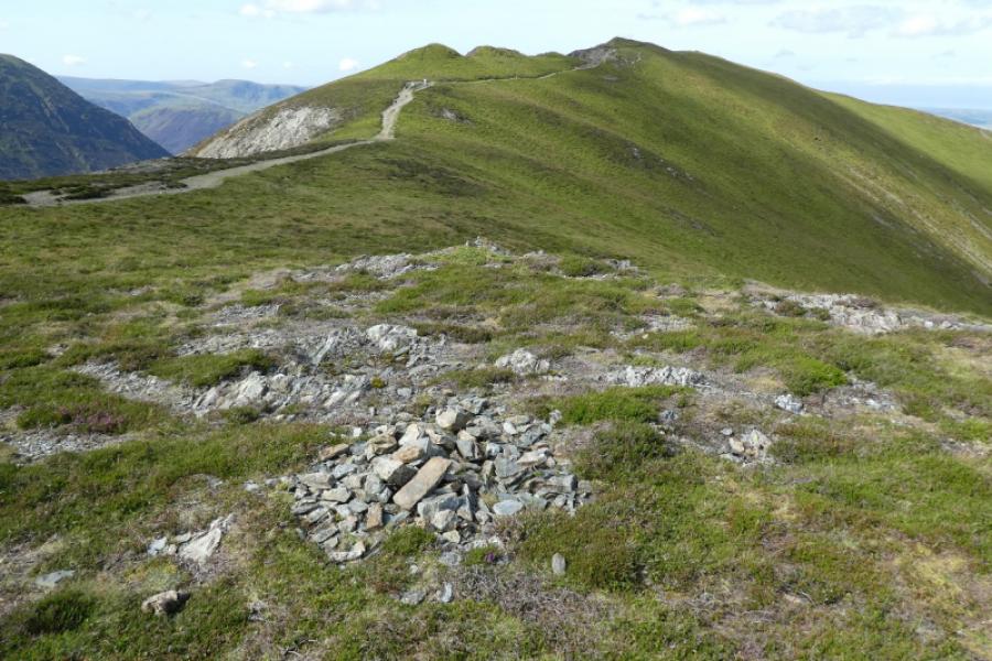
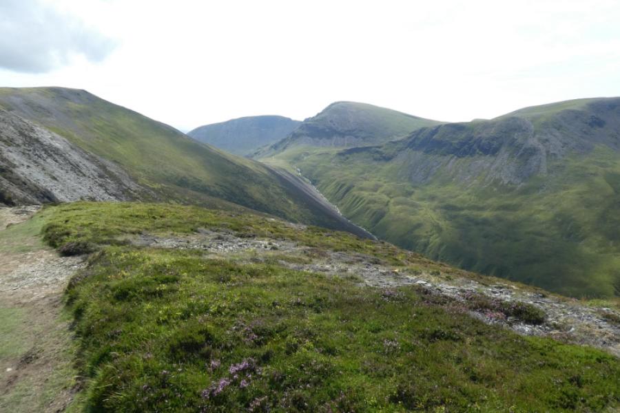
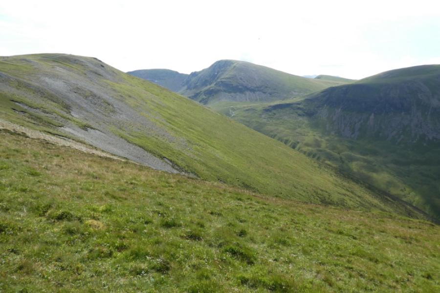
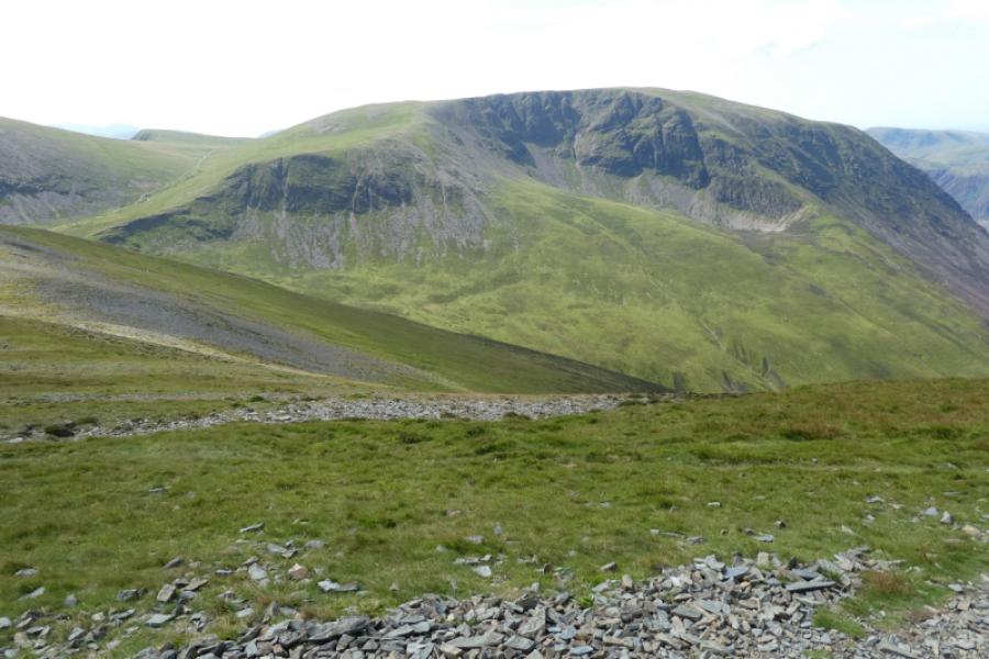
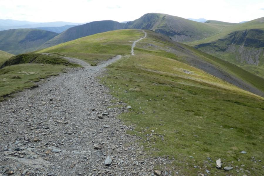
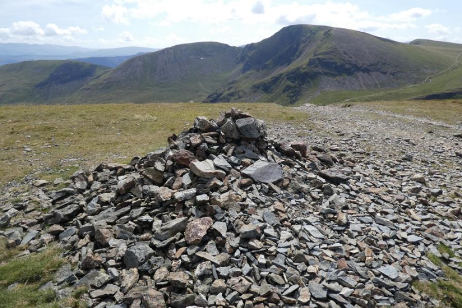
(3) Head roughly south on an obvious path to a dip then up ahagin to reach a medium cairn which is the summit of Sand Hill, 756 m.
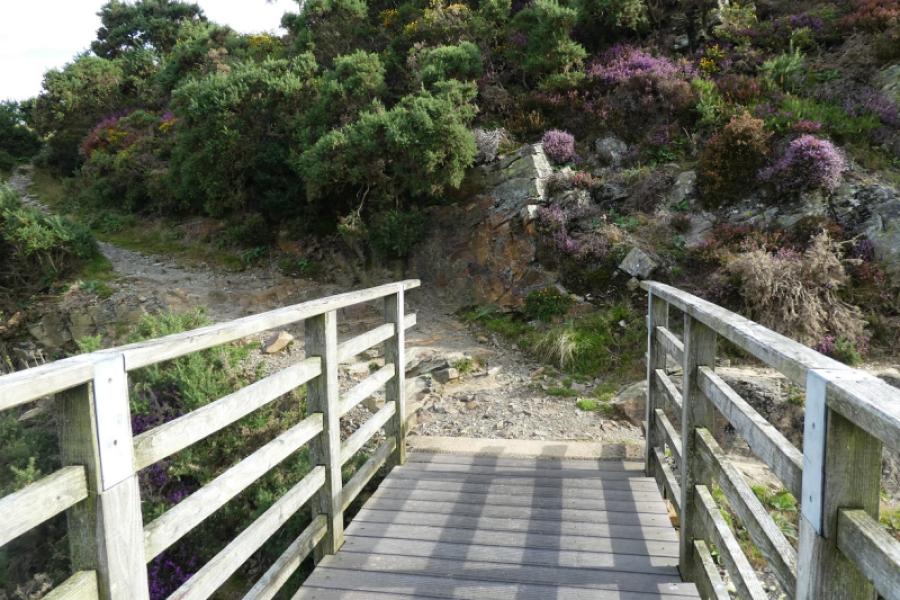
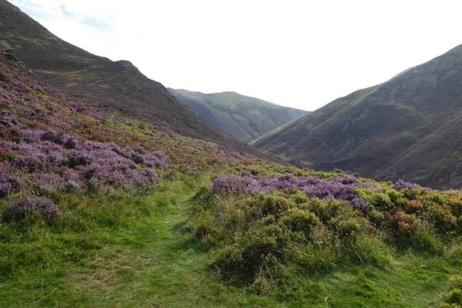
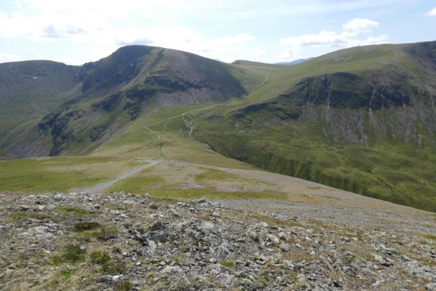
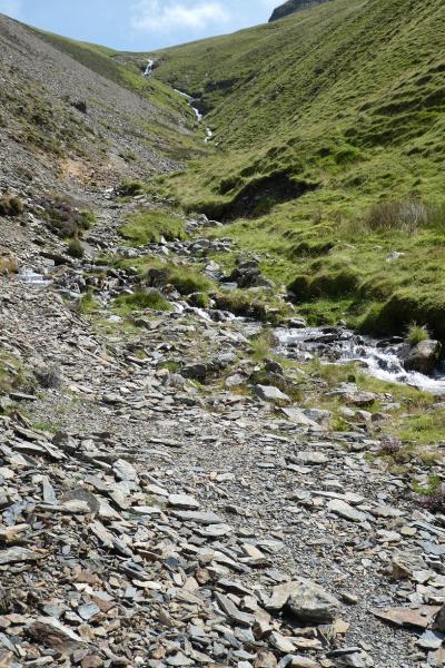
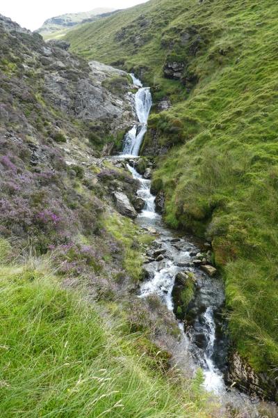
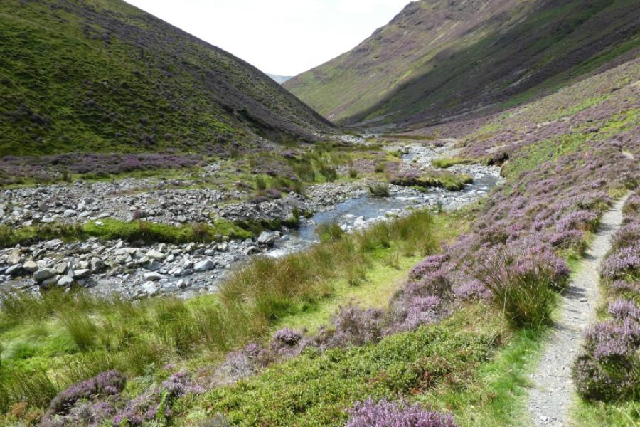
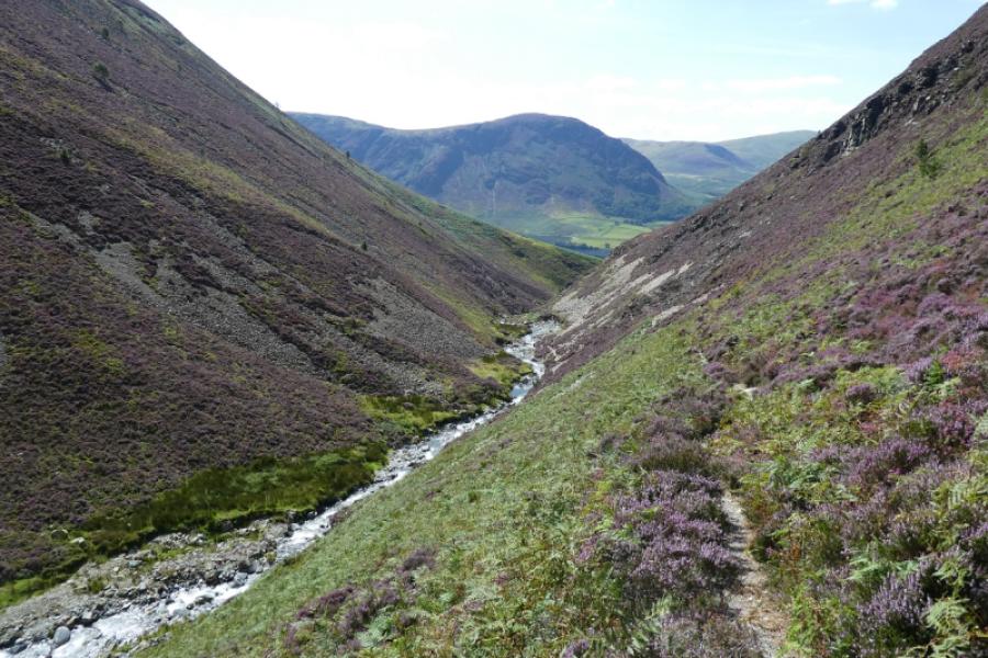
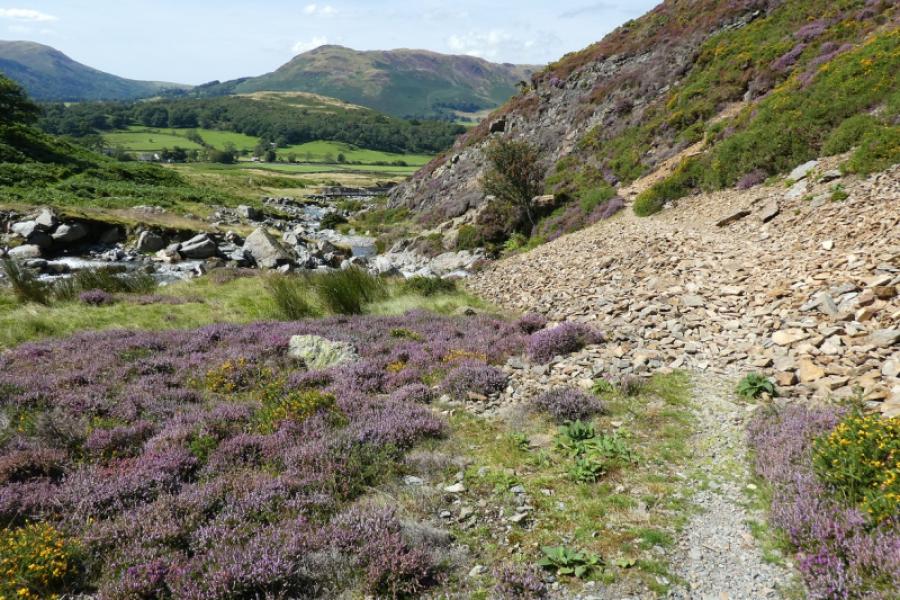
(4) Continue ahead and descend to the dip known as Coledale Hause. If you cannot see the stream which flows down Gascale Gill then you will probably hear it. It is on the right of the main path. Follow the path down by the side of the stream. It is loose and stony to begin with but does improve and there are many waterfalls to catch the eye. In places, the path has slipped but new paths have formed. Lower down the Path splits into a higher and lower one. The higher one looks better but it has a sting in the tail with awkward rocky steps when it merges with the lower path so it might be best to follow the lower path. This also applies further on after the path passes through a narrow section. Continue down to the bridge and car park.
Notes
(a) This walk took place on 11th August, 2024.
Photos - Hover over photo for caption. Click on to enlarge. Click on again to reduce.