Get Lost Mountaineering
You are here: England » Lake District » 6 North Western Fells
Whinlatter from Whinlatter Visitor Centre
Whinlatter from Whinlatter Visitor Centre
Start/Finish
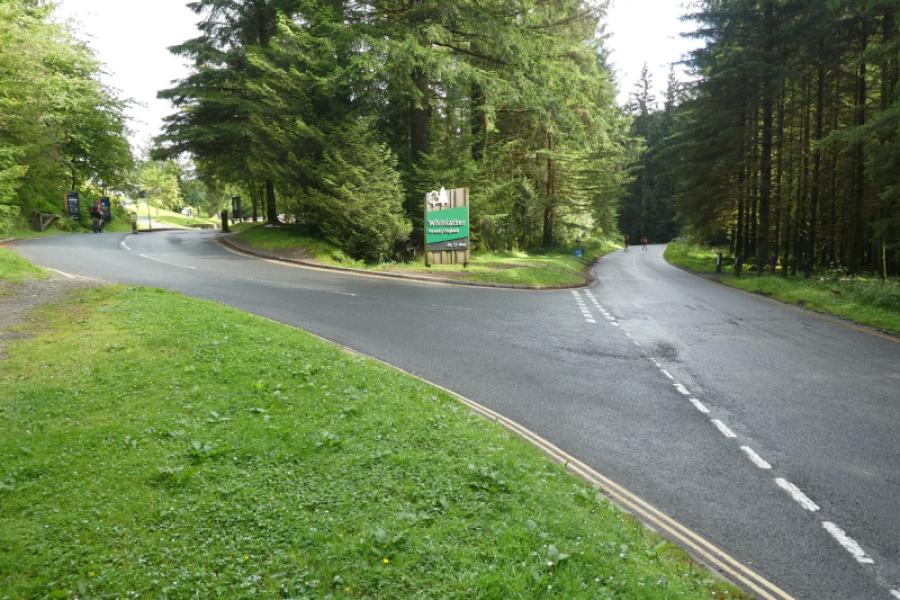
Either in the Whinlatter Visitor Centre car park or on the roadside about 500 m west of the entrance.
Distance/Time
4 km About 2 hours (6 km and 3 hours if Brown How included)
Peaks
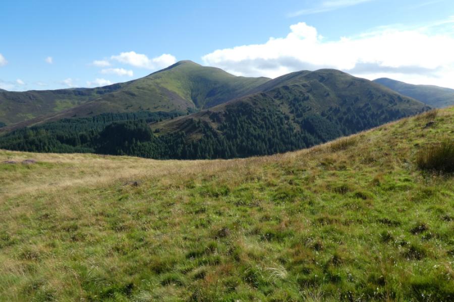
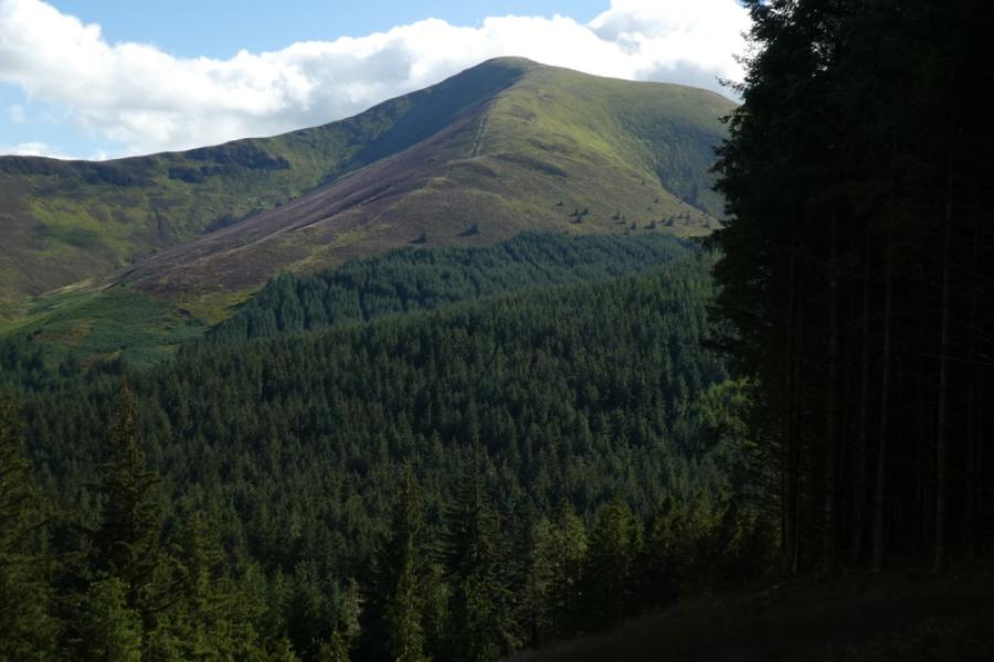
Whinlatter, 525 m, NY 197 249.
Brown How, 517 m, NY 191 253. OS 1:25000: OL4 North Western Lakes.
Introduction
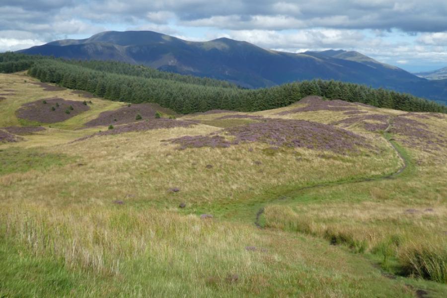
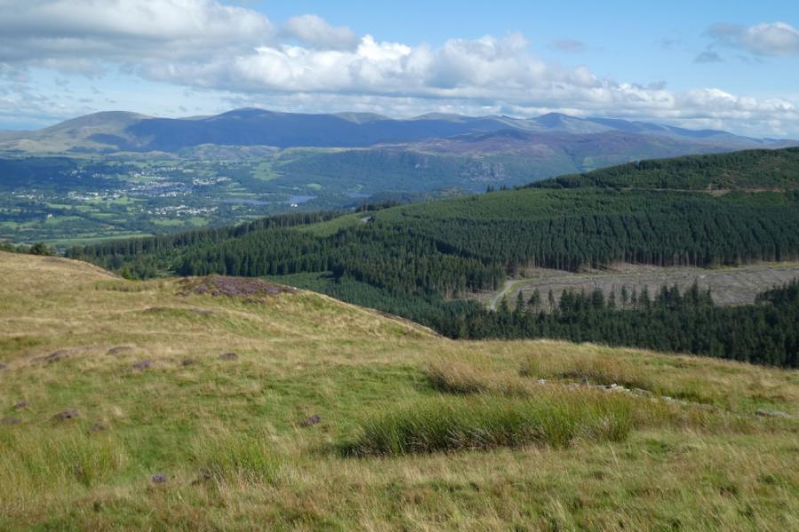
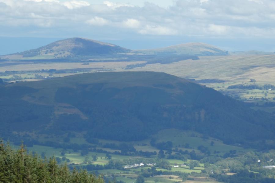
This is a straightforward ascent only complicated by very poor signage within the Whinlatter Visitor Centre area, There is a path all the way to the summit from where Brown How looks higher. From Brown How summit, Whinlatter looks lower. However, both the map and GPS agree that Whinlatter is higher than Brown How so, for many, there will be no need to visit Brown How although it is a much better viewpoint for looking west to the Solway Firth and even Criffel across the Firth.
Route
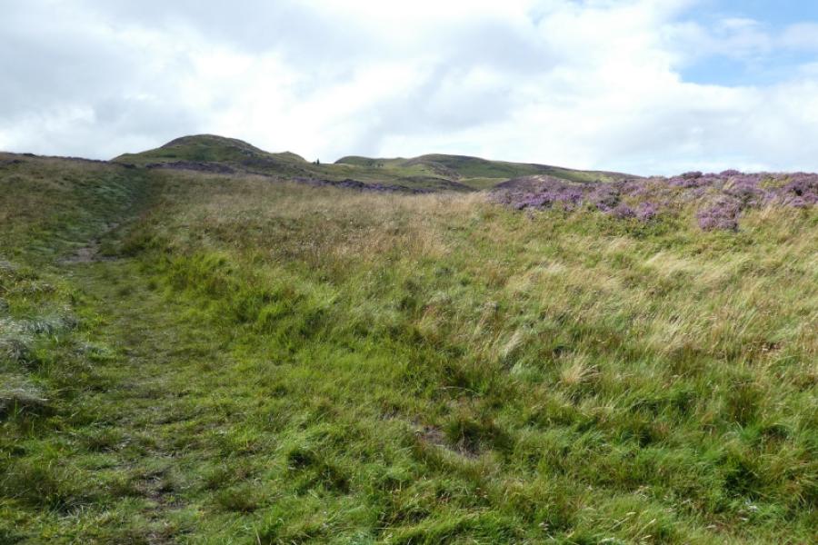
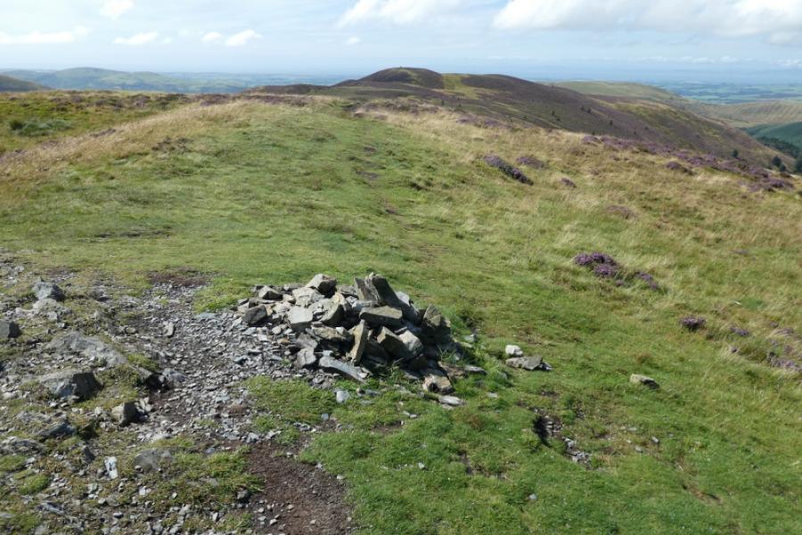
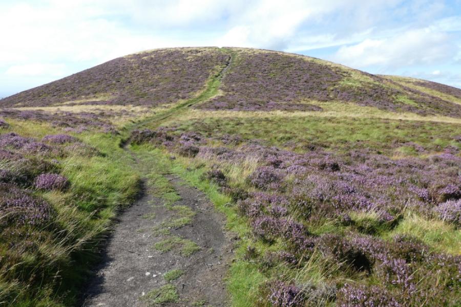
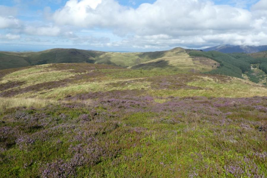
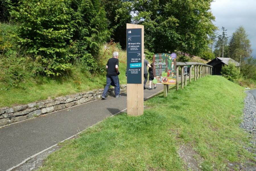
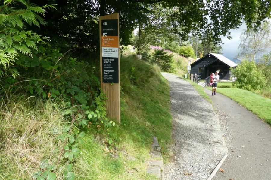
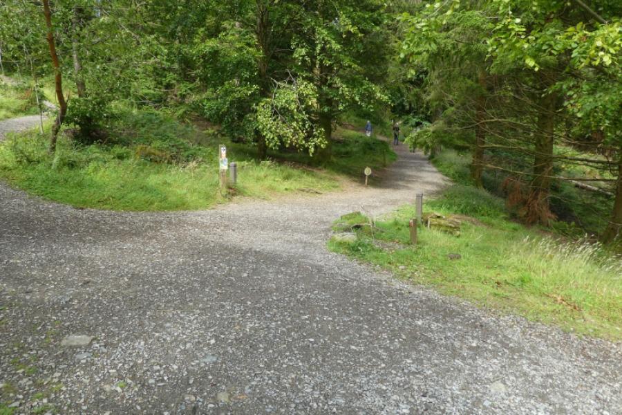
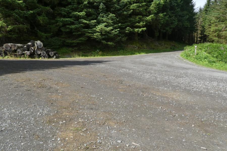
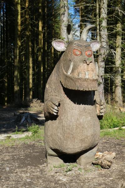
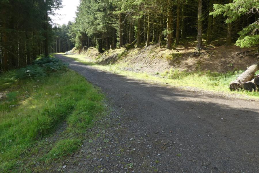
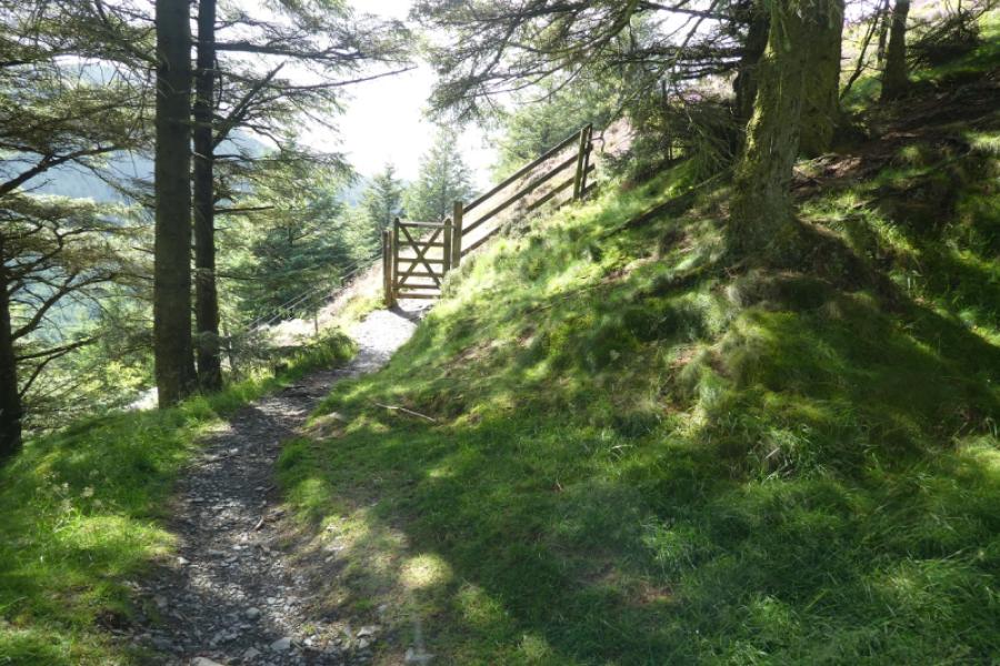
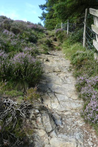
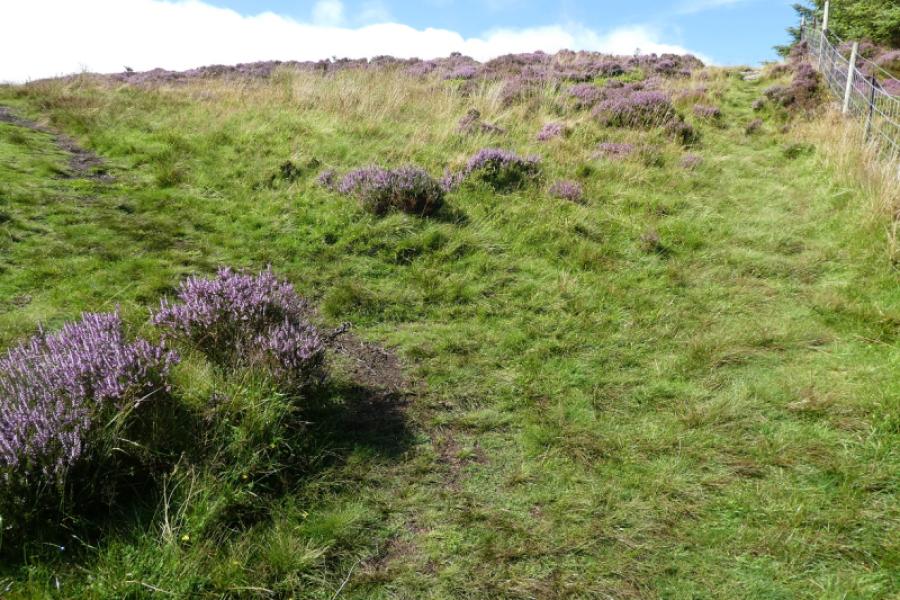
(1) From the Visitor Centre shop, go through the adjacent toilets to reach the path on the left. Follow the white signs for Seat How summit until horsebox junction is reached where there no longer seems to be a horsebox! However, in 2024, there was a picnic area and a large wood carving of a gruffalo. Stop following the white signs here and go left and uphill on a forestry track. Follow this to its end then go through the small gate. Immediately go right up a steepish path which is rocky to begin with and follows a fence. Further up, the path to Whinlatter forks off left where there is a small clearing over the fence. Follow the meandering path to reach a small cairn which is the summit of Whinlatter, 525 m.
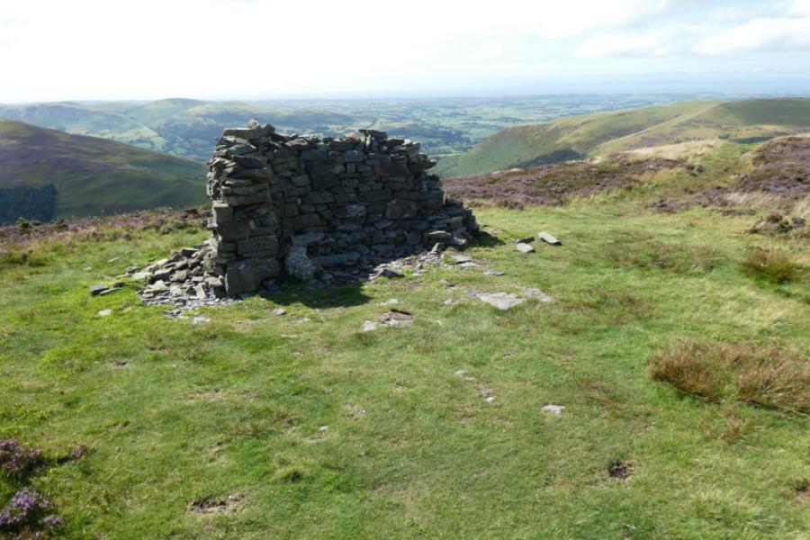
(2) To continue to Brown How, continue on the same path which crosses a broken wall before ascending to a large curved wall cairn which is the summit of Brown How, 517 m.
(3) Retrace the outward route back to the visitor centre.
Notes
(a) This walk took place on 12th August, 2024.
Photos - Hover over photo for caption. Click on to enlarge. Click on again to reduce.


![]()