Get Lost Mountaineering
You are here: Scotland » 04 Loch Leven and Loch Linnhe to Loch Ericht » Mamores to Corrour
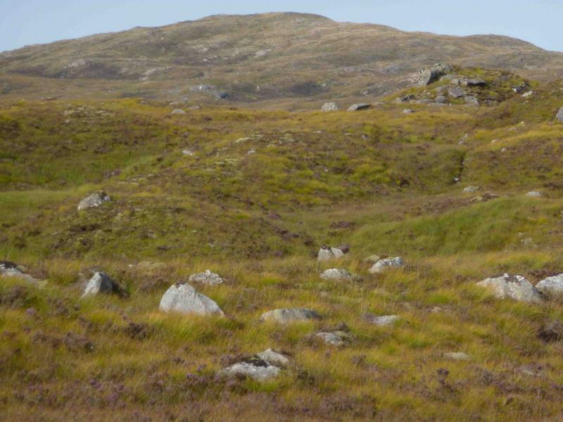
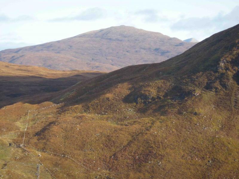
Glas Bheinn
Glas Bheinn from Kinlochleven
Start/Finish
Grey Mares Waterfall car park, Kinlochleven. From bridge over River Leven, go N then take first right (signed Grey Mares Waterfall). At the end of this street there is a white church. Go right and the car park is almost immediately on the left.
Distance/Time
19 km Approx 8 hours
Peaks
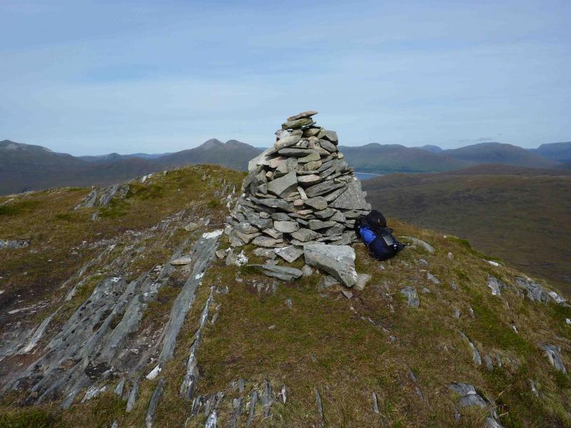
Glas Bheinn, 792 m, NN 259 641. OS Sheet 41.
Introduction
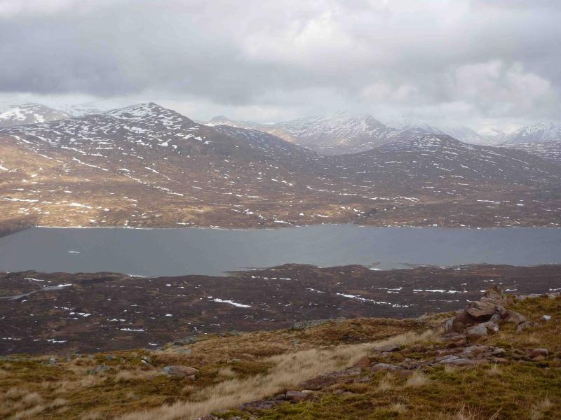
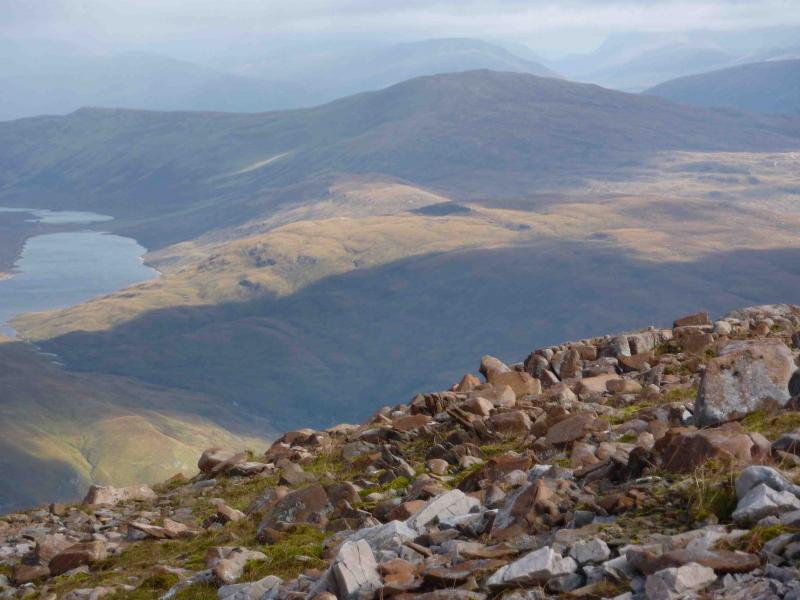
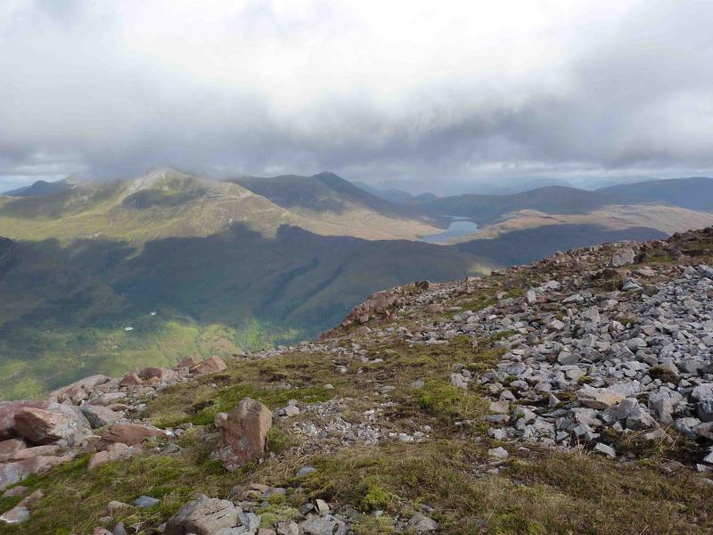
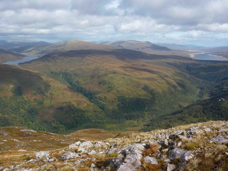
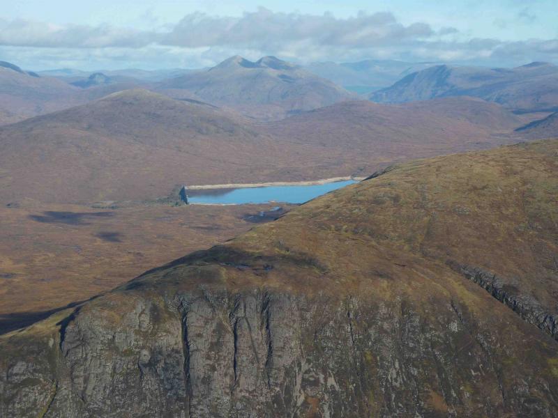
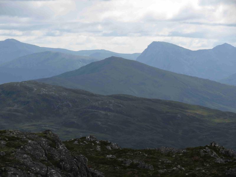
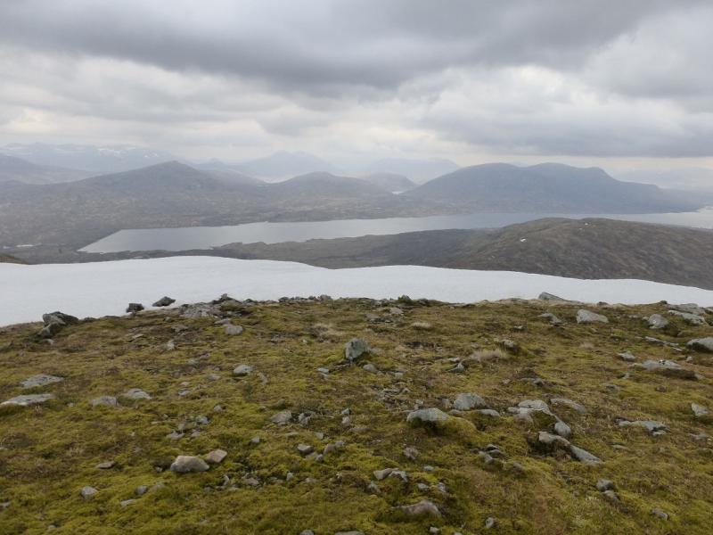
Although Glas Bheinn is a rather grassy undistinguished hill there are outstanding views in all directions from this walk especially down the full length of Loch Leven but also to the Glencoe peaks, Ben Nevis, Aonach Beag, Grey Corries, Loch Ossian peaks, Buachaille Etive Mor (Crowberry Tower visible), Ben Alder and even Schiehallion.
Route
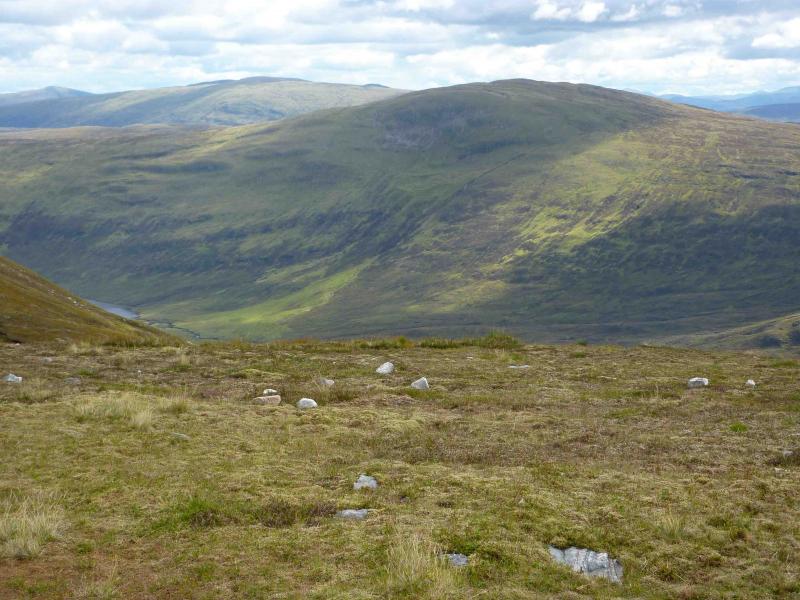
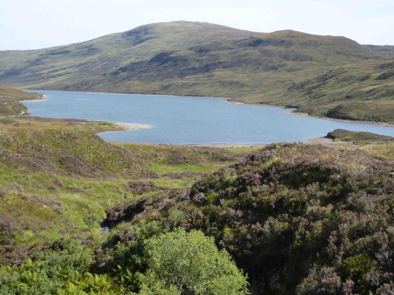
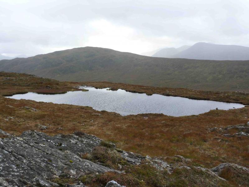
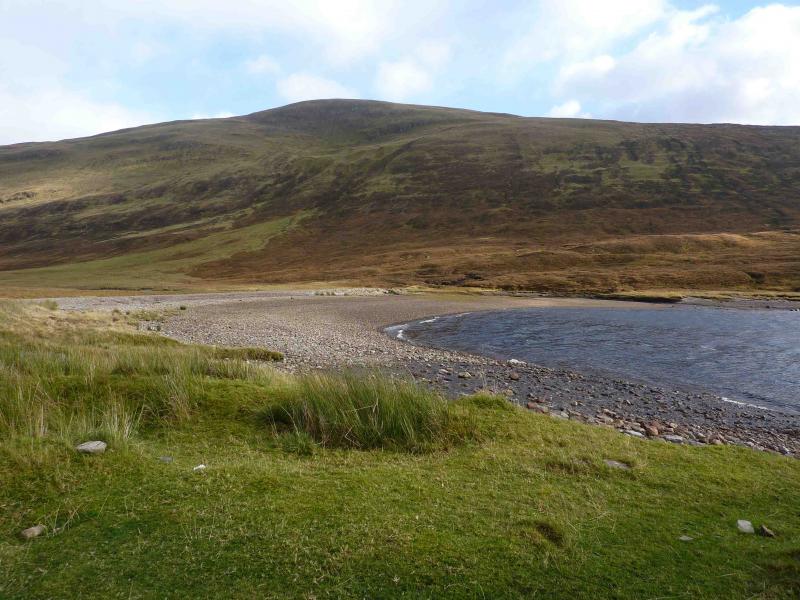
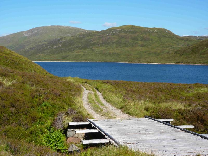
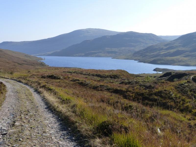
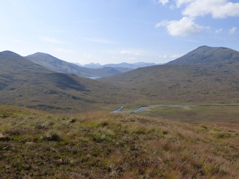
(1) Walk up the obvious signed footpath at the side of the car park. At the end of the path, go right (red arrow). Follow path until reaching a white cottage on the left (if you go much further you will reach another street). Go left up the left side of this cottage on a path which is initially faint but, within 10 m, there is another red arrow post and the path is much more distinct. Follow path until a T junction is reached. Go left and converge towards a stream. Within 50 m, take a reverse right fork and cross stream to reach a multi-coloured marker post. The red arrow is not visible until the post is reached and points uphill. Follow path uphill through the wood (path diverges in places) to emerge to the N of Meall an Doire Dharaich. The path levels off then descends slightly to reach a cairn by the main track from Mamores Lodge to Loch Eilde Mor. Follow the track W for about 500 m before forking right on to a footpath going down towards Loch Eilde Mor. The path soon swings W to avoid the boggy ground at the W end of the loch before cutting back to reach the outflow dam at the W end of the loch. Cross the dam and take the path going E following the loch. This path is very boggy even in a dry spell because it has been destroyed by motorcyclists. The bogginess lasts for about 1½ km until the path climbs away from the loch. Follow the path to its highest point, just past a small lochan, on the broad shoulder of Meall na Cruaidhe. Leave the path here and ascend NE up the broad SW ridge of Glas Bheinn. Care is needed in mist as the ridge is not that well defined. The going underfoot is generally grassy with the odd avoidable wet area. The going improves as height is gained and soon the large summit cairn of Glas Bheinn, 792 m, is reached. The actual summit may be the adjacent “bump” to the N.
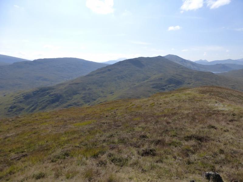
(2) Descend S to SSW over grassy, undulating, featureless terrain to reach the Blackwater Dam. From the dam, follow the pipeline W until the path becomes apparent and runs alongside the pipeline until diverging after about 400 m. Follow the well defined path for about 7 km down to Kinlochmore. Much of the path is through silver birch woodland which hides much of the view. The bridge at NN 202 614 across the Allt na h’Eilde has collapsed and only the railing on one side survives. In a dry spell the burn is easily crossed but in spate conditions, the railing may have to be used. It is easier, and much shorter, than the wire bridge at Steall! The crossing of another burn lower down may result in wet feet during a wet spell and may be impossible in spate. The path ends at a tarmac track on the edge of Kinlochmore. Go straight on. The track soon becomes a road which leads past houses back to the car park. This descent can take 3-4 hours.
Notes
(a) This walk took place on 31st August, 2010.
Photos - Hover over photo for caption. Click on to enlarge. Click on again to reduce.