Get Lost Mountaineering
You are here: England » Lake District » 3 Central Fells
Eagle Crag & Sergeant's Crag from Stonethwaite
Eagle Crag & Sergeant's Crag from Stonethwaite
Start/Finish
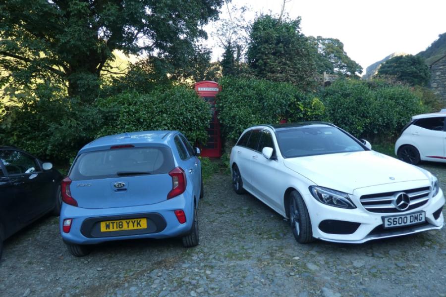
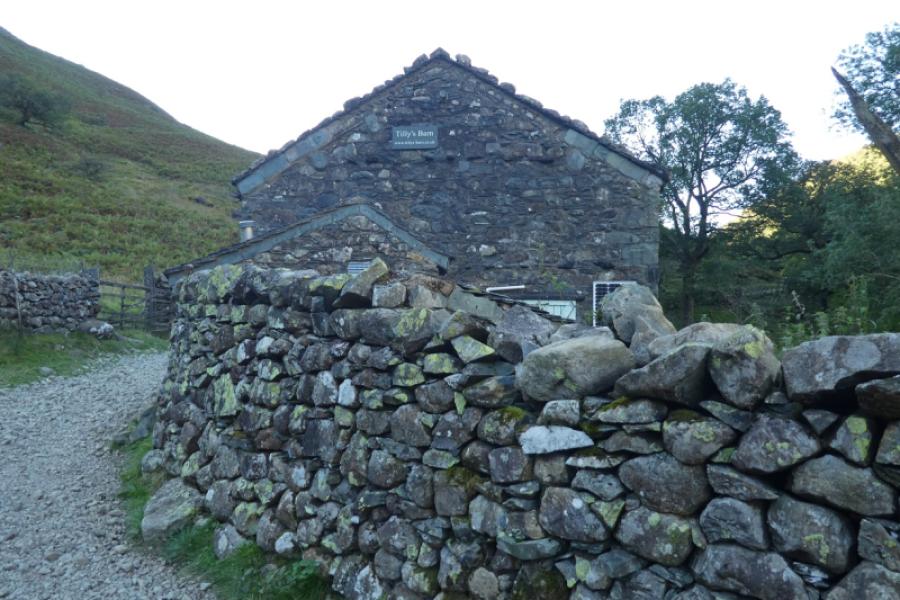
Stonethwaite hamlet where there is very linited parking by the old red telephone box. Stonethwaite is about half a mile down a minor road off the main Borrowdale road about half a mile south of Rosthwaite.
Distance/Time
11 km About 5 -6 hours
Peaks
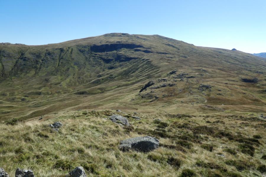
Eagle Crag, 520 m, NY 276 121.
Sergeant's Crag, 571 m, NY 274 114.
OS 90: Penrith & Keswick OL4 North Western Lakes
Introduction
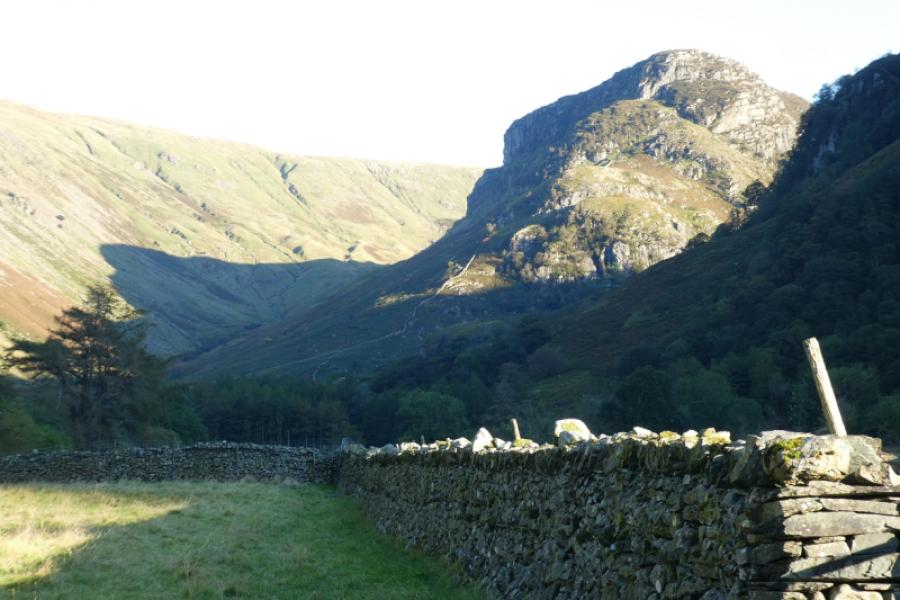
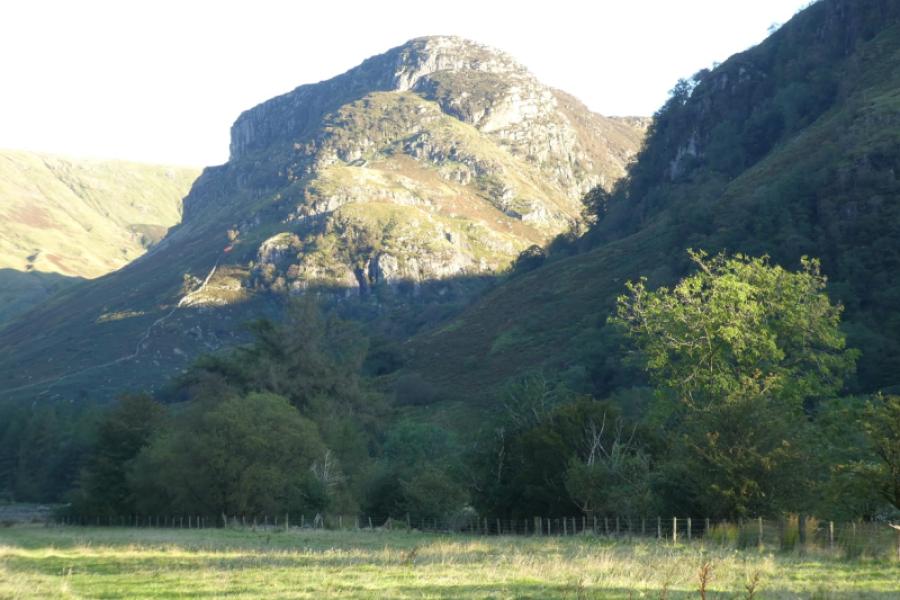
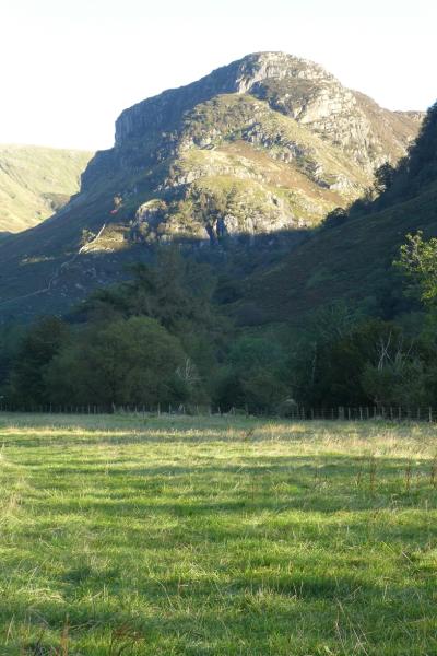
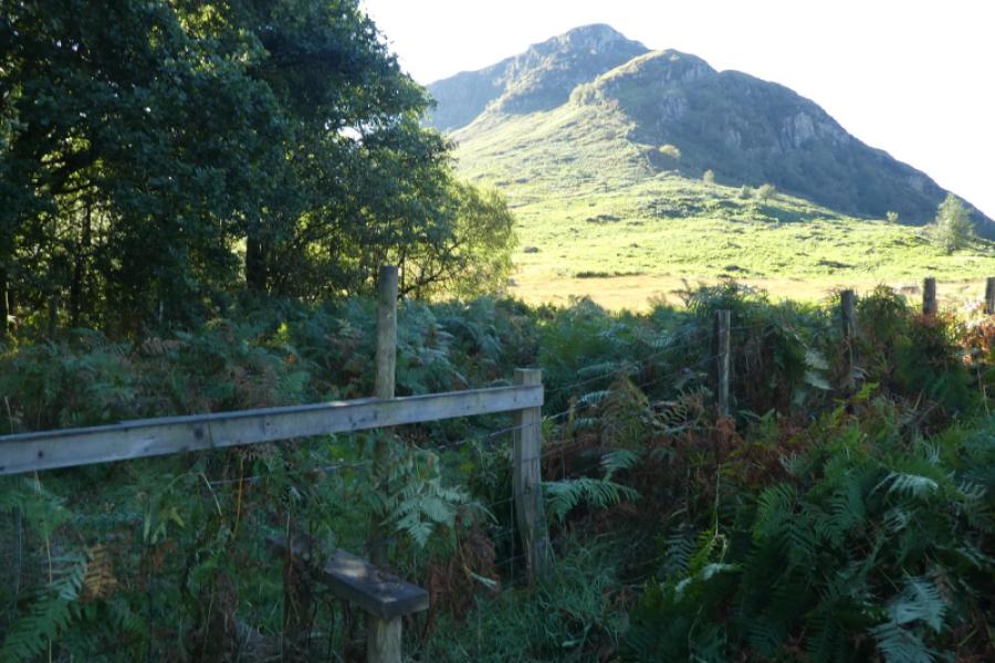
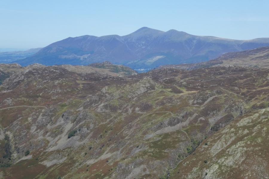
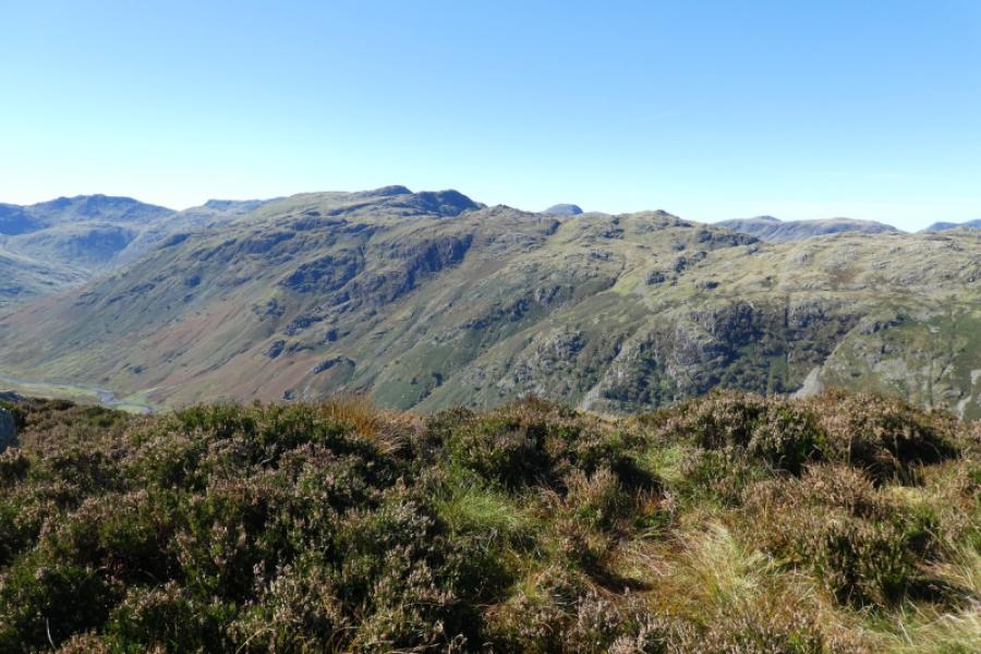
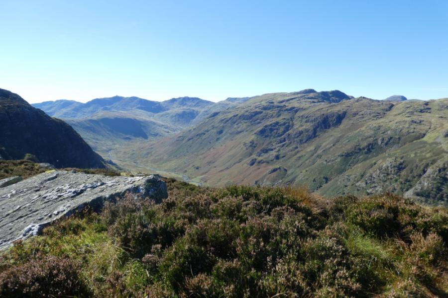
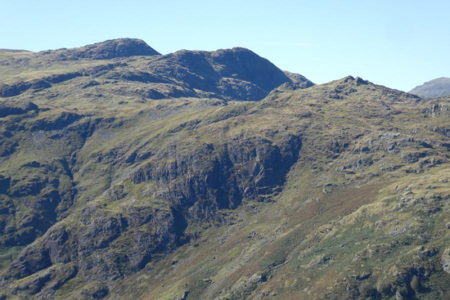
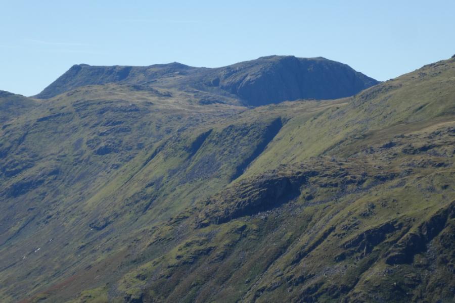
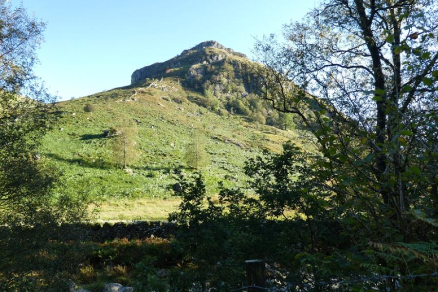
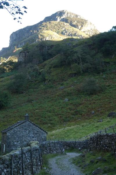
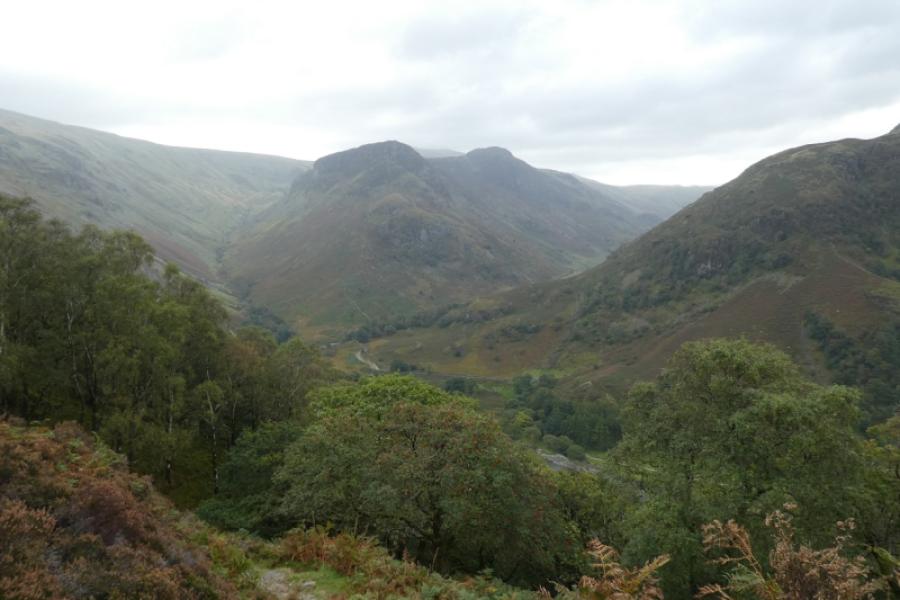
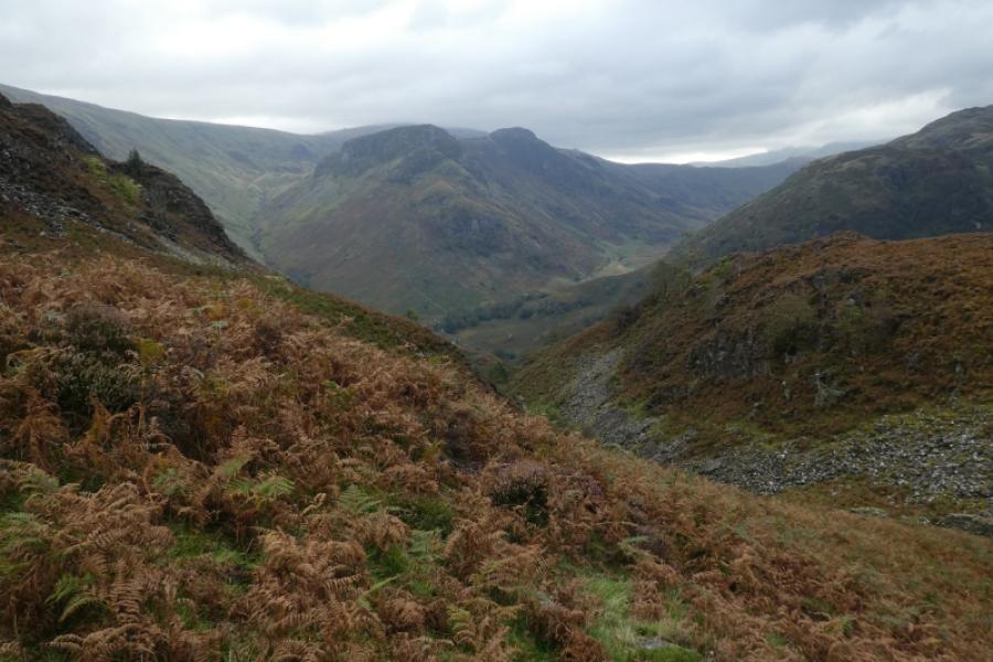
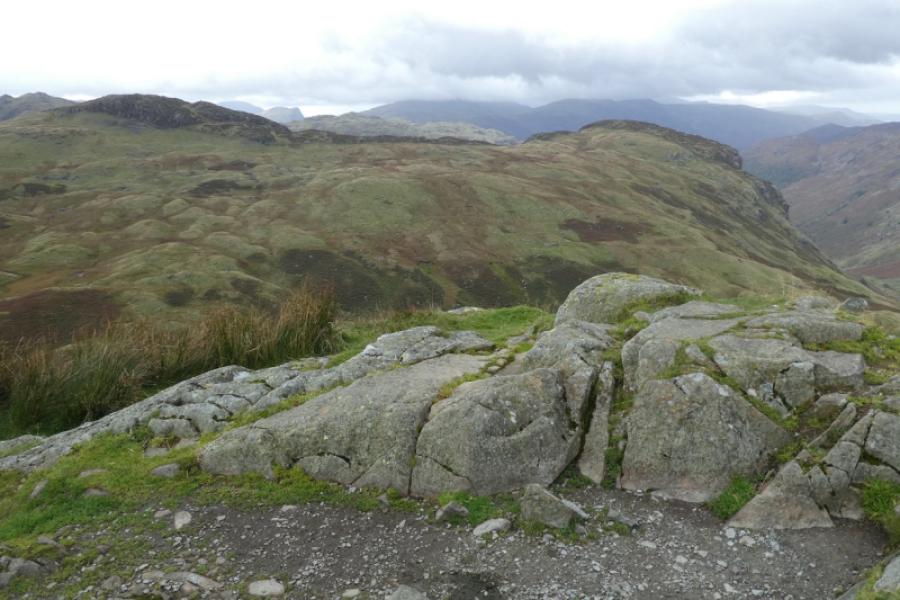
This is a strenuous and demanding walk with some very steep ground, often slippery, with three easy scrambles. The start of the ascent is often not described properly in some guidebooks so it is easy to start ascending on the wrong path which will mean crossing a high stone wall higher up. The path from Eagle Crag to Sergeant's Crag involves a short, about 2 m, downclimb at a wall corner after which is it is easy but quite boggy in places. Descending down to Langstrath can be steep and awkward, worse still in the bracken season, but the longer you stay on the crest, the easier it gets. Views are excellent especially to High Raise, Bessyboot & Rosthwaite Fell, Glaramara & Allen Crags and even Skiddaw.
Route
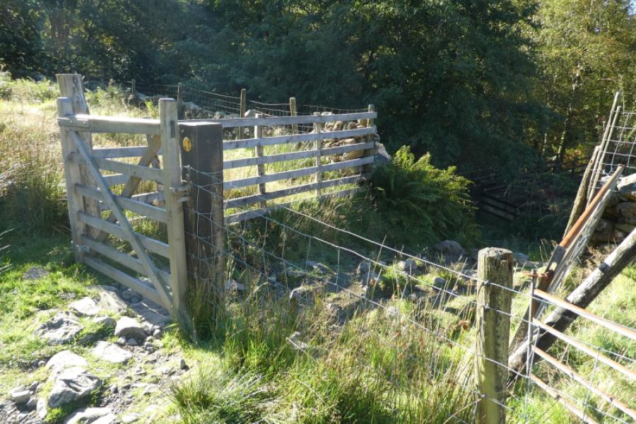
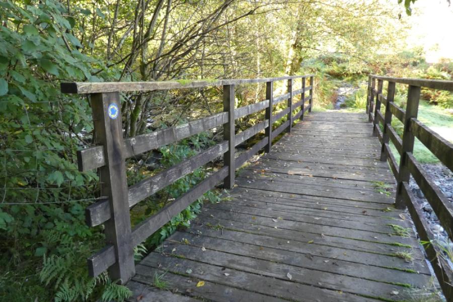
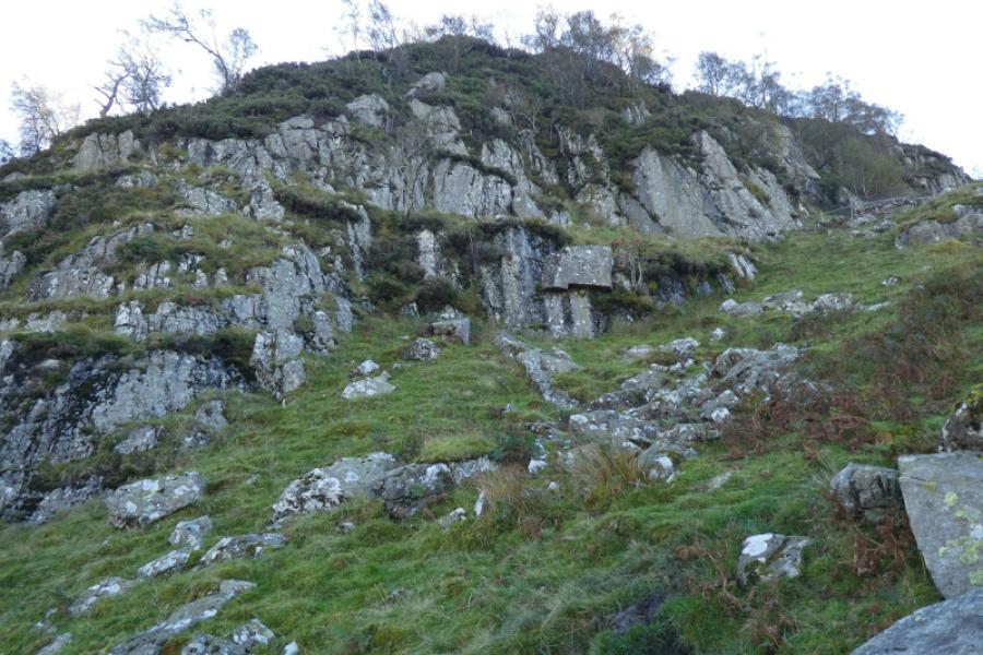
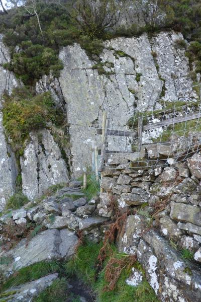
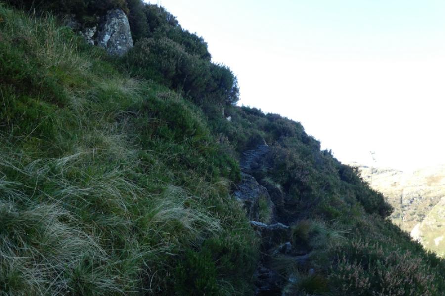
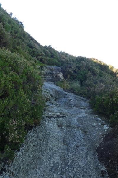
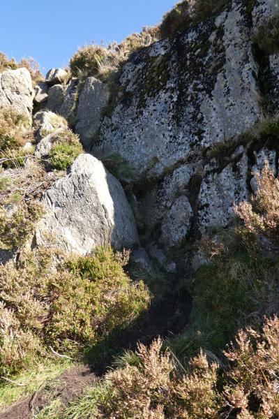
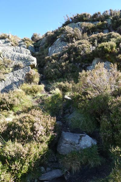
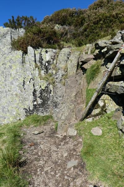
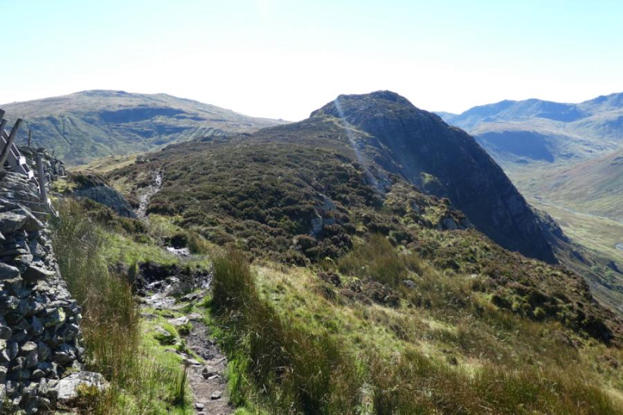
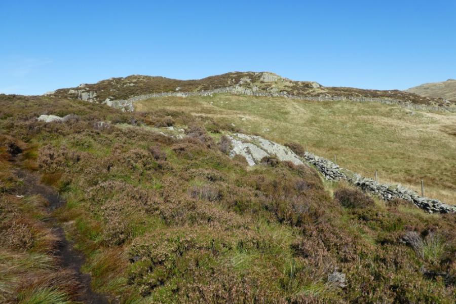
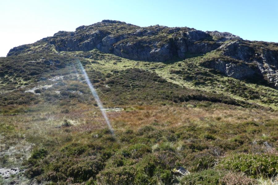
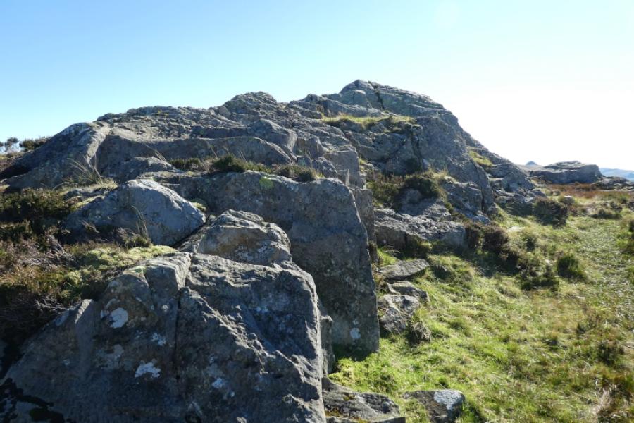
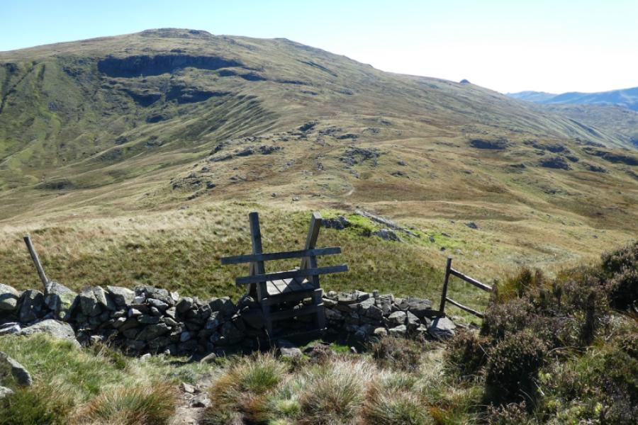
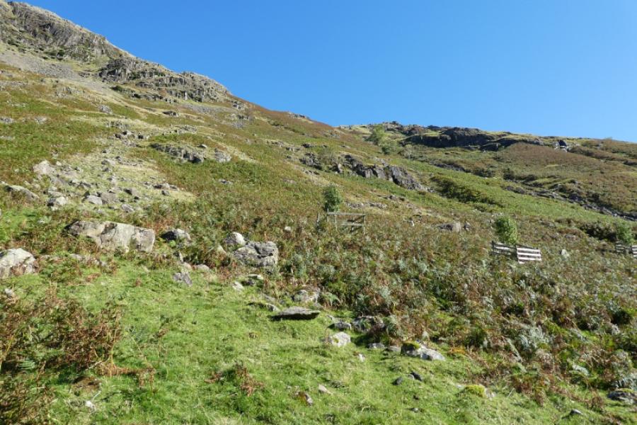
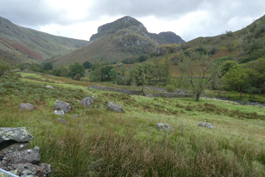
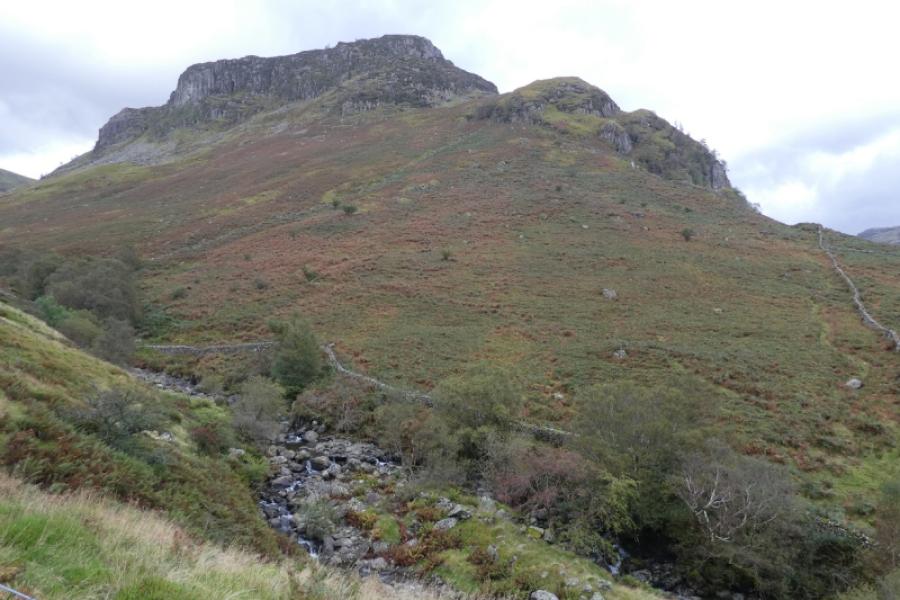
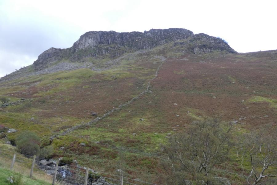
(1) From the red telephone box in Stonethwaite, go down the lane which says “No access for cars” and cross the old bridge. Turn right and follow the track roughly south east. Pass the point where the river divides. Soon after, look for a gate on the right which gives access to a bridge over Greenup Gill. Cross over and go left when the path divides just after the bridge. Reach a stile over a wire fence and cross over to a field which is often wet. This is where you need to be careful. Follow the path left alongside the wood to reach a wall. Go up the wall until you can cross through a gate then follow the obvious path upwards or better still continue across to the next wall before starting to ascend. There is another path, not by the wood, which is drier and aims for the wall higher up. If you follow this path then you must descend to the gate on reaching the wall. Do not follow the wall up without crossing it as the path you will be on seems okay but leads to the difficult wall crossing much higher up – a mistake which many seem to have made judging by how much the path has been used. The correct path ascends steeply, following the wall for a while before trending left to eventually reach a stile over a fence/wall which runs into a crag. Continue over the stile on an obvious path which soon leads to the easy scramble up the gully. At the top, go right on a rocky path, not left on a faint grassy path. The path is now much less steep and becomes grassy soon after. Another easy scramble up a corner is followed by another soon after. Be careful of sudden sharp changes in the direction of the path. If the path ahead looks less distinct then you have missed a change in direction. Soon arrive on the summit plateau where the highest point is on an angled slab which is the summit of Eagle Crag, 520 m. Do not stray too far from the summit as it is well guarded by cliffs.
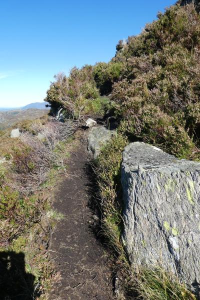
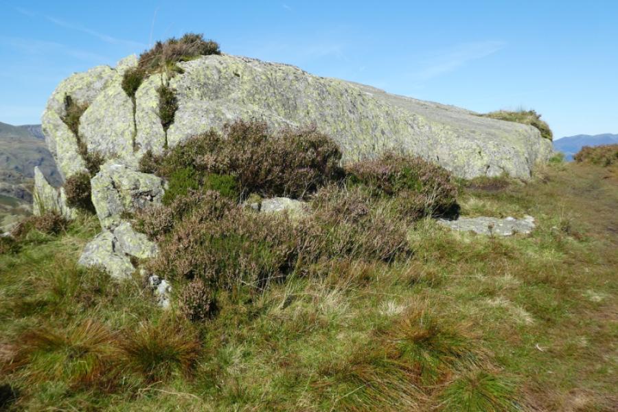
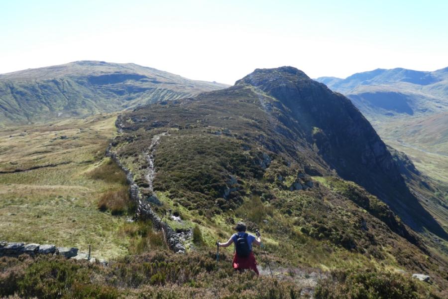
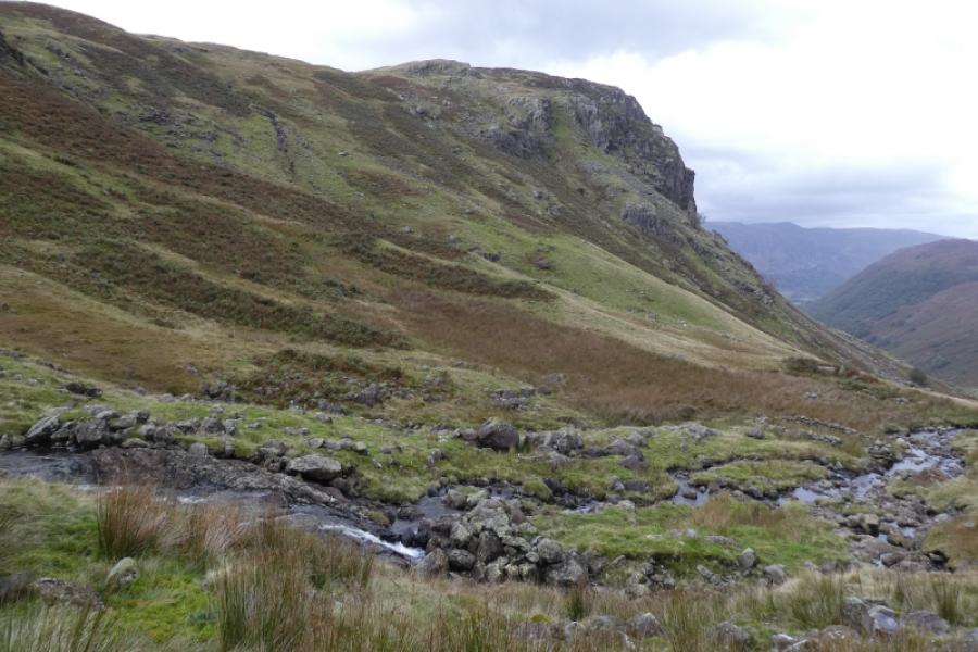
(2) From the summit, head south on the obvious path. Cross a wall by a high ladder stile then do a short downclimb to cross another wall. Follow the often boggy path to reach an outcrop which is the summit of Sergeant's Crag, 571 m.
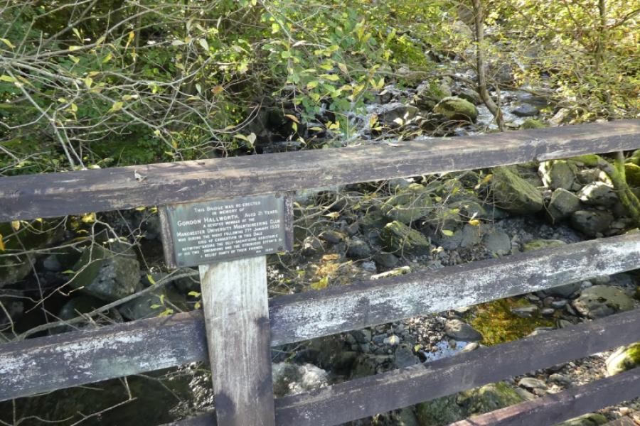
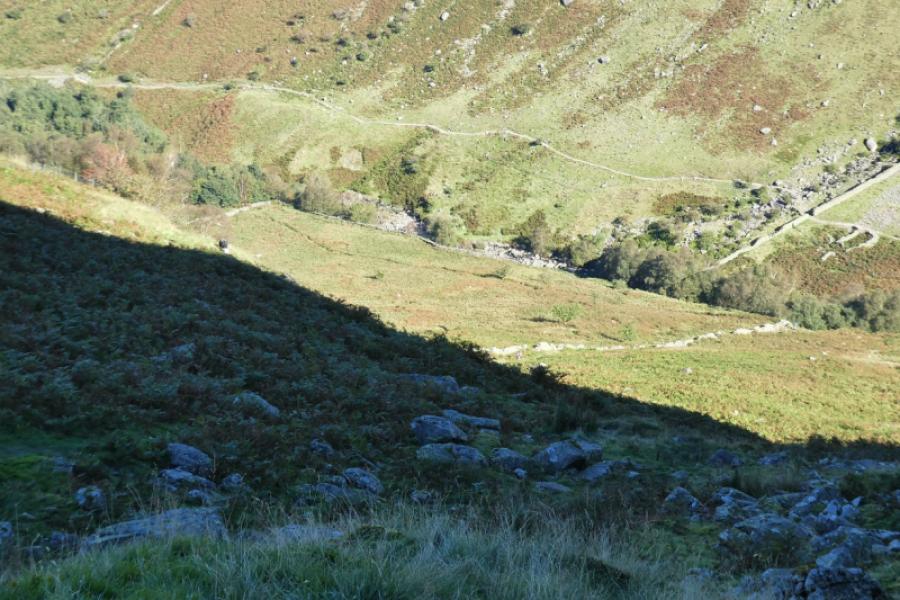
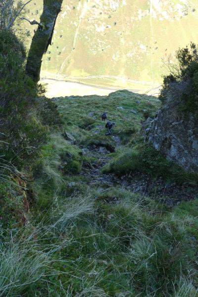
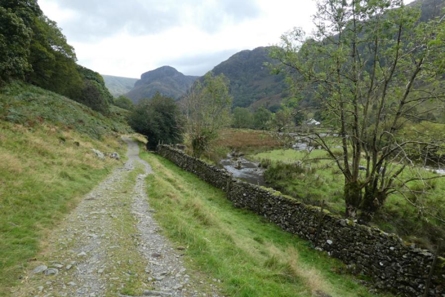
(3) Descend south, towards High Raise, on often wet ground for at least 1 km before descending to Langstrath valley. The further you walk, the easier the descent. The nearer your descent is to Sergeant's Crag then the steeper and rougher your descent is likely to be. Also, the longer you delay your descent then the more chance you have of finding a path down. Once down in Langstrath, head north on the obvious path. When you feel you are getting close to hwere Langstrath Beck meets Greenup Gill, cross the obvious bridge and follow the track back to Stonethwaite.
Notes
(a) This walk took place on 18th September, 2024.
Photos - Hover over photo for caption. Click on to enlarge. Click on again to reduce.