Get Lost Mountaineering
You are here: England » Lake District » 3 Central Fells
Great Crag from Rosthwaite
Great Crag from Rosthwaite
Start/Finish
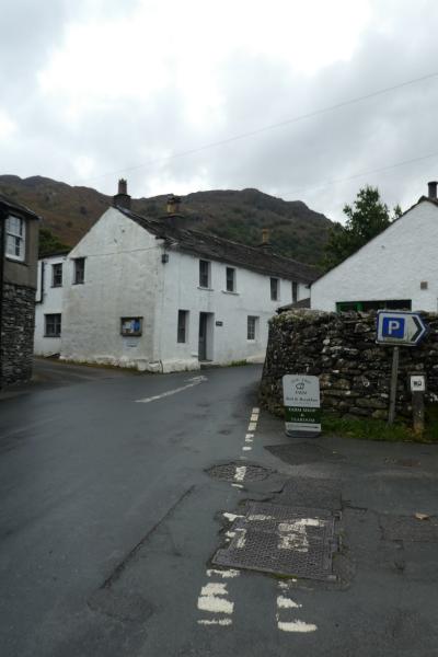
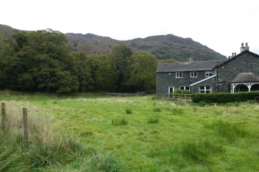
Rosthwaite village, about 6 miles south of Keswick in the Borrowdale valley. There are two main car parks: National Trust and Village Institute which are adjacent to each other. Upon reaching Rosthwaite from Keswick, take the right turn as soon as the village is reached and soon reach the car parks.
Distance/Time
7 km About 3 – 4 hours
Peaks
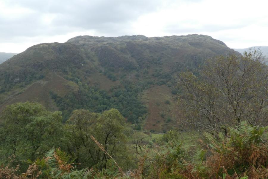
Great Crag, 456 m, NY 269 147.
OS 90: Penrith & Keswick OL4 North Western Lakes
Introduction
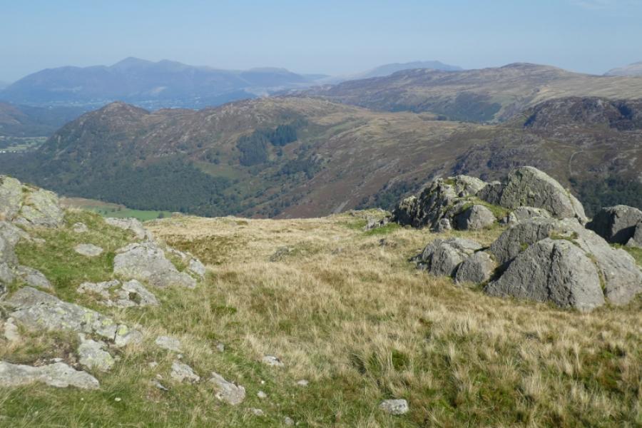
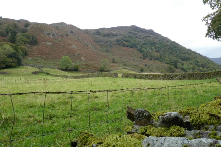
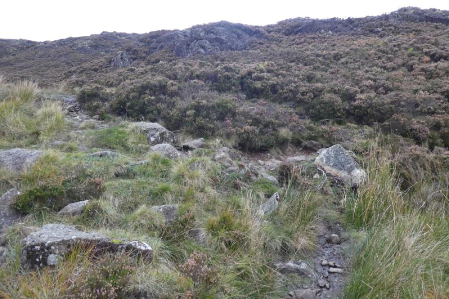
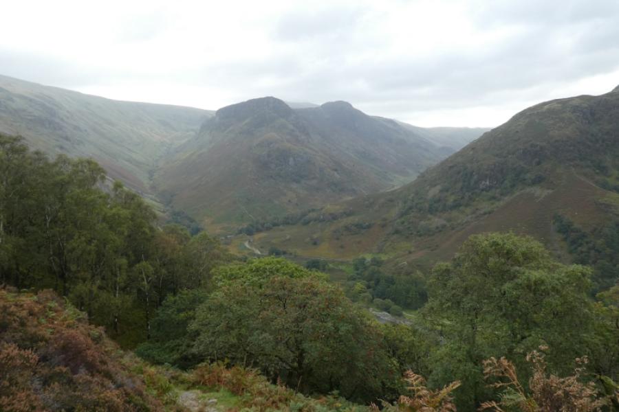
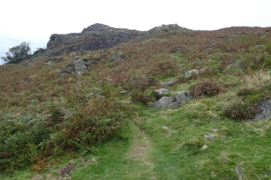
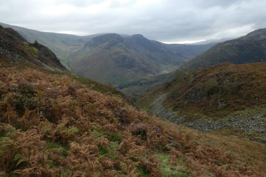
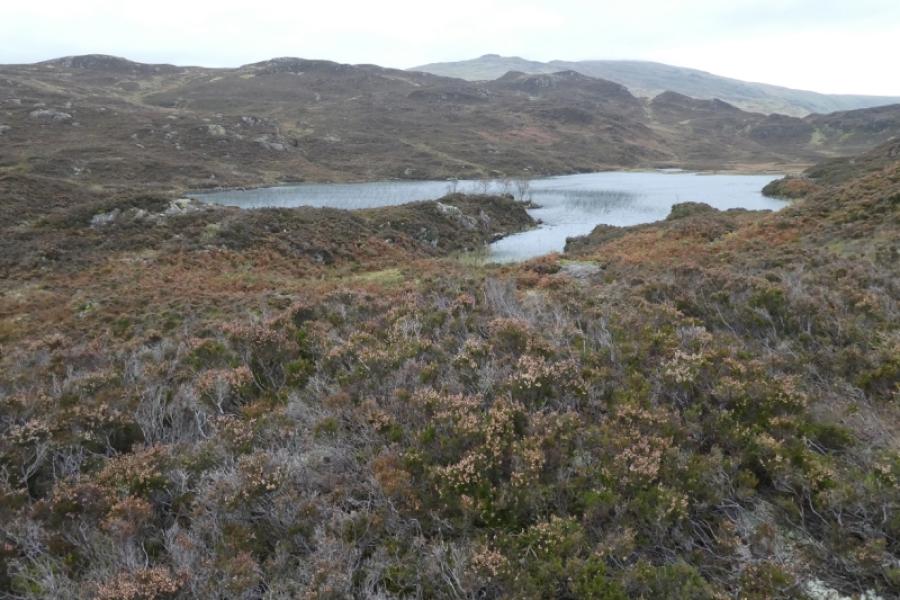
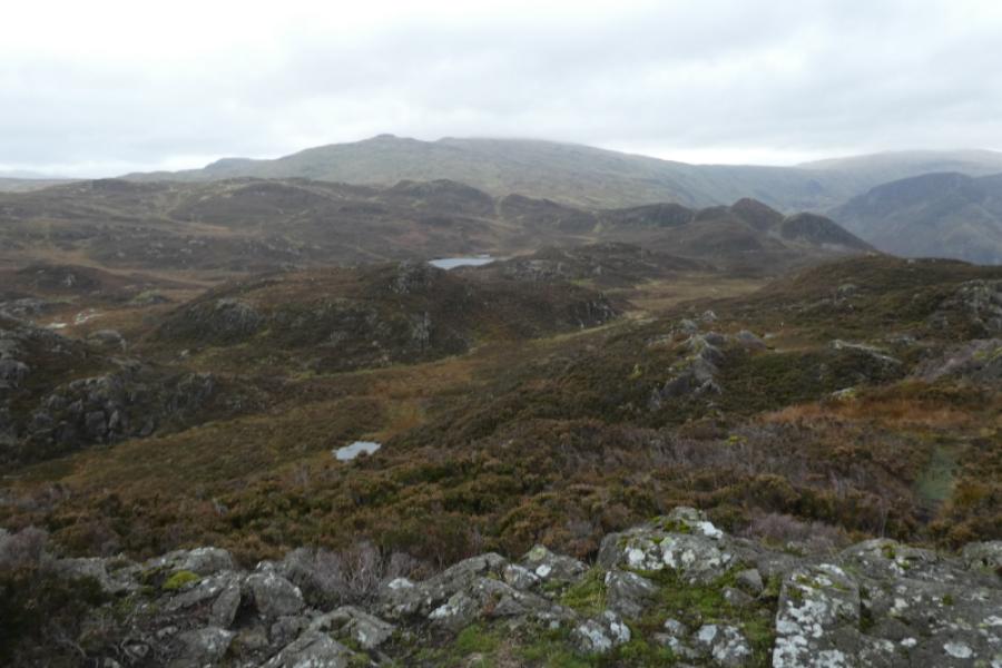
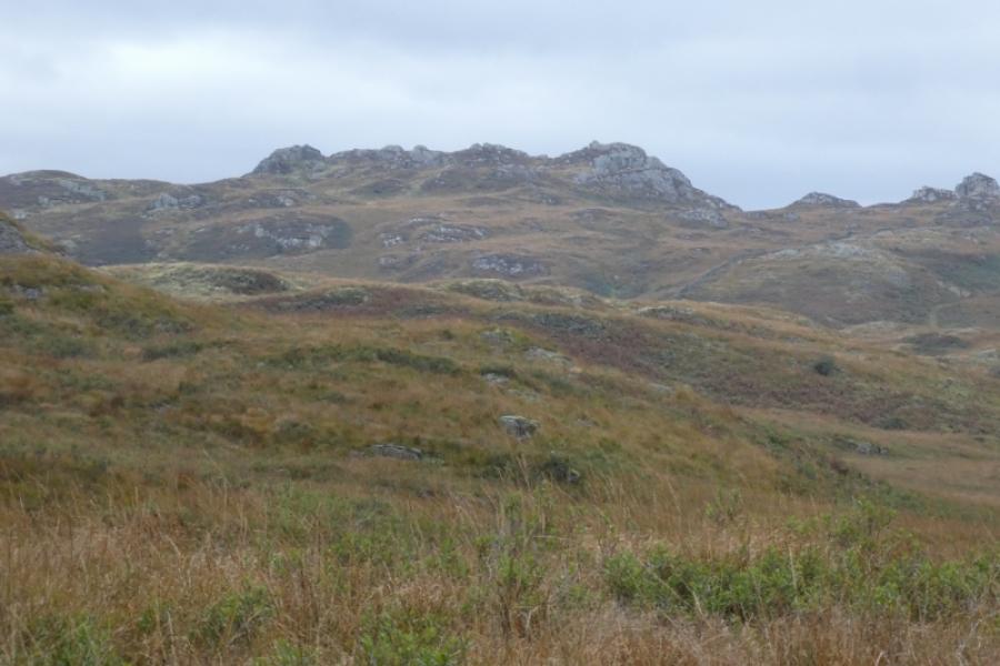
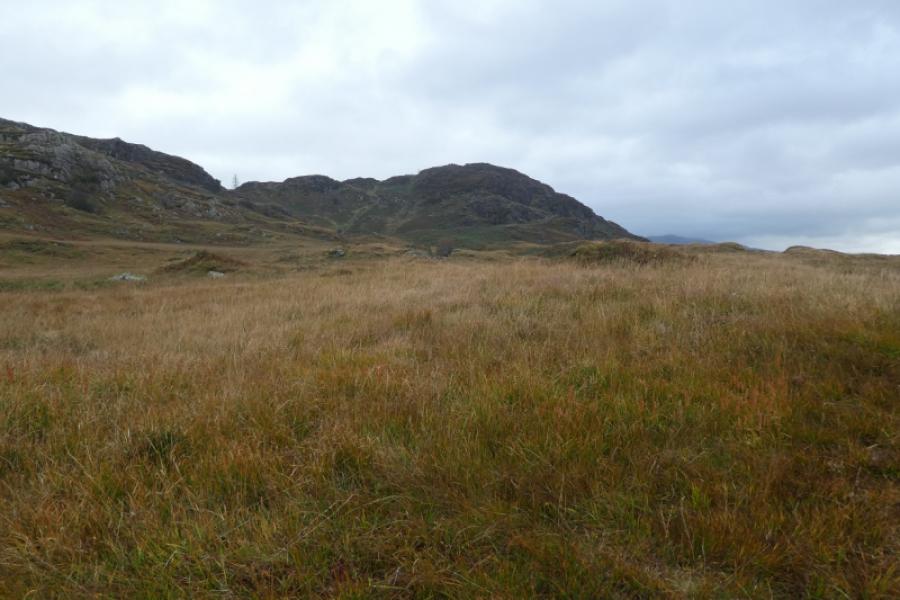
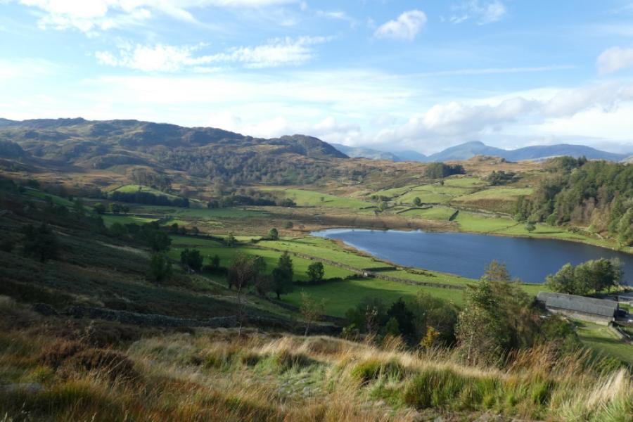
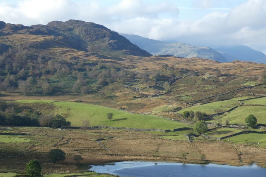
This is a more strenuous and demanding walk than many think. The climb from Stonethwaite is steep but mainly on steps. Once the ground levels off, it is mainly moorland bog so go prepared and, ideally, during a long dry spell. Much of the ground is also rocky and awkward in places although there is no exposure. On a clear day, the views are excellent and include Eagle Crag & Sergeant's Crag, Rosthwaite Fell & Bessyboot, Ullscarf, High Raise, High Tove, Dale Head, Skiddaw and many more. There are numerous paths on the high moorland – more than shown on the map so care is needed with navigation. There are also numerous tops so best to tackle this route on a clear day. The summit is not visible until quite close so be careful not to mistake other tops for the summit.
Route
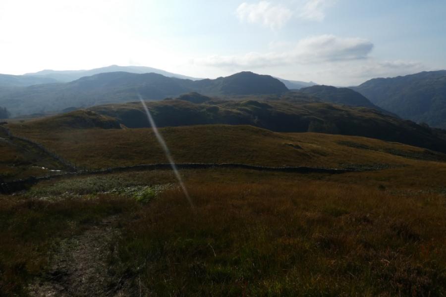
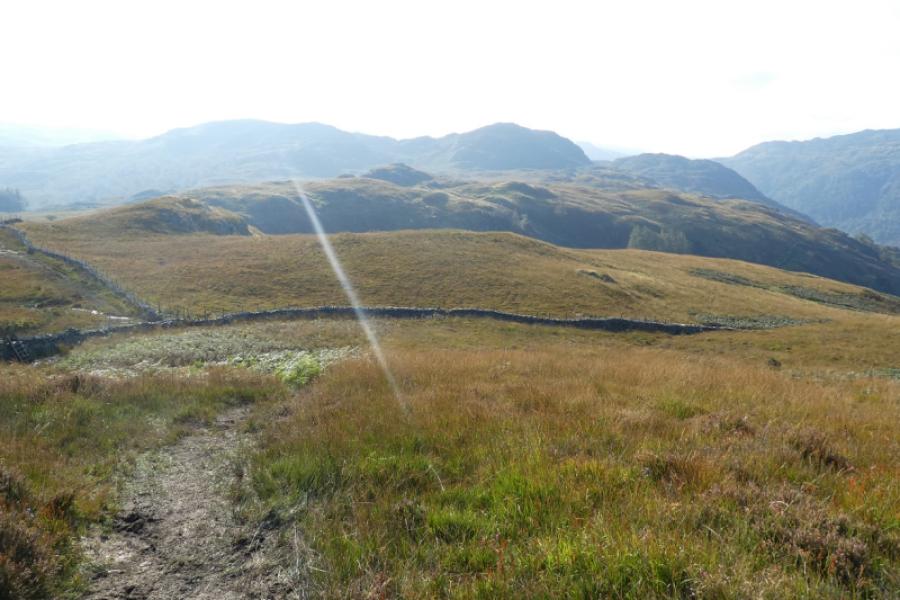
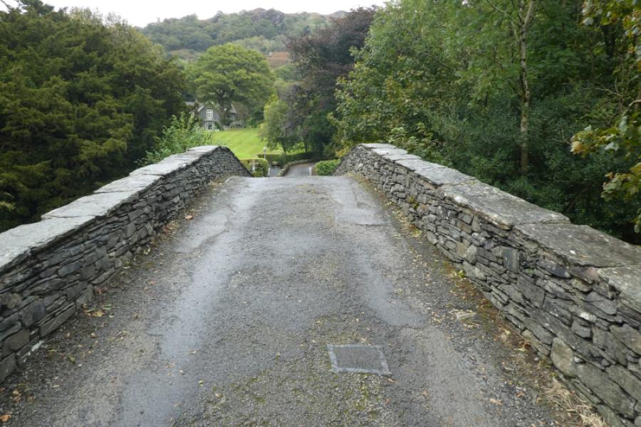
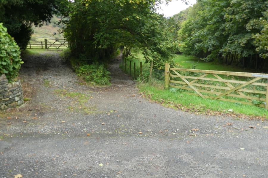
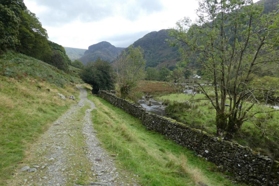
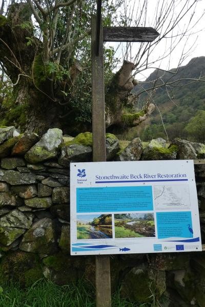
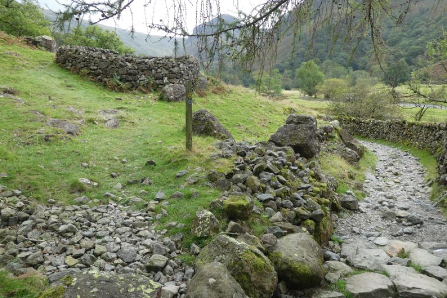
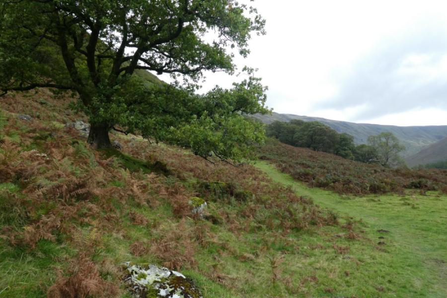
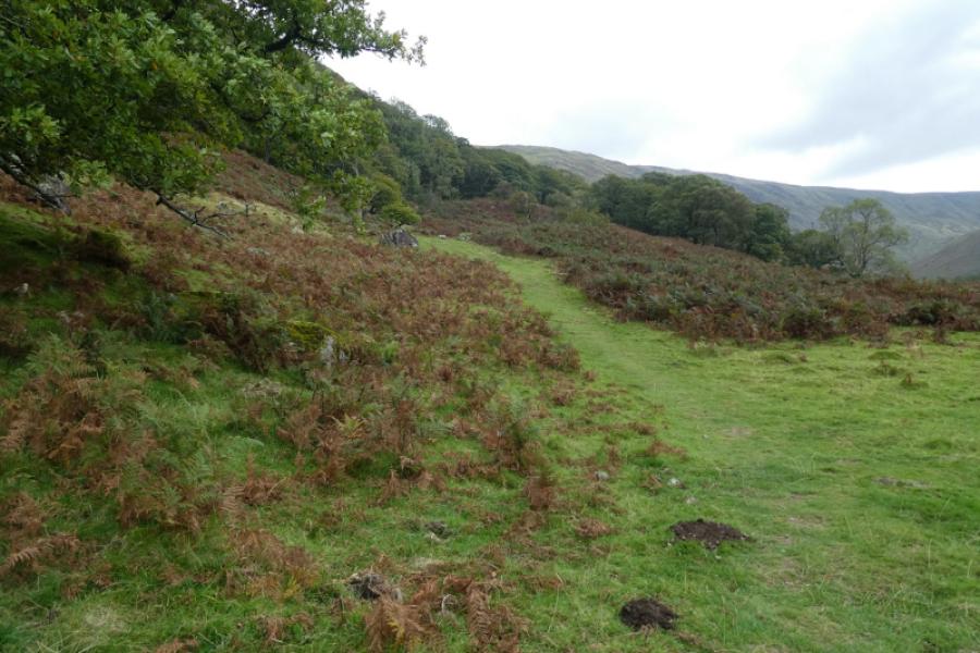
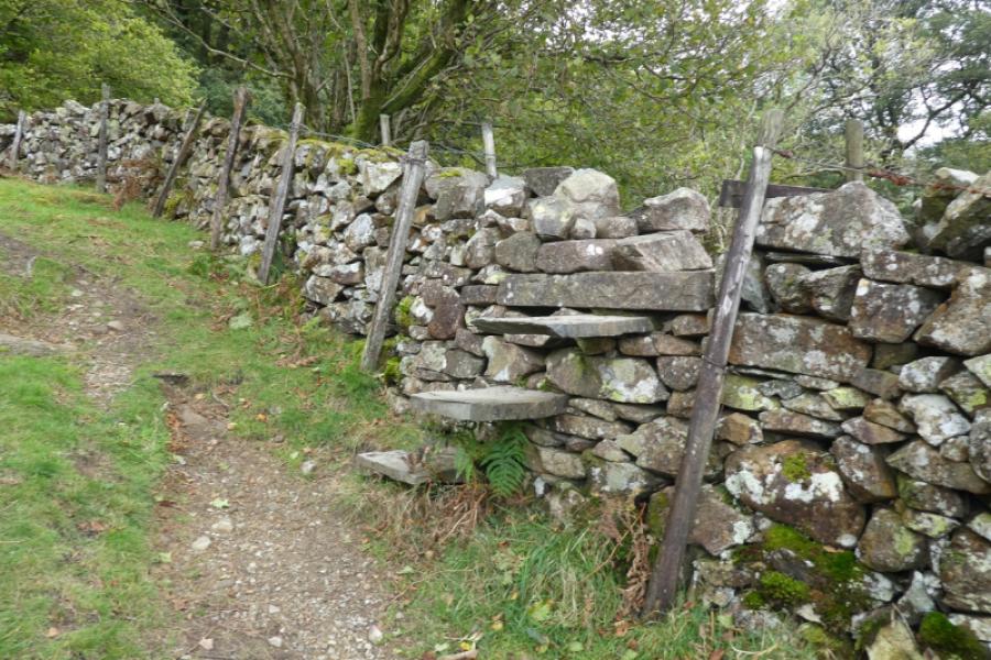
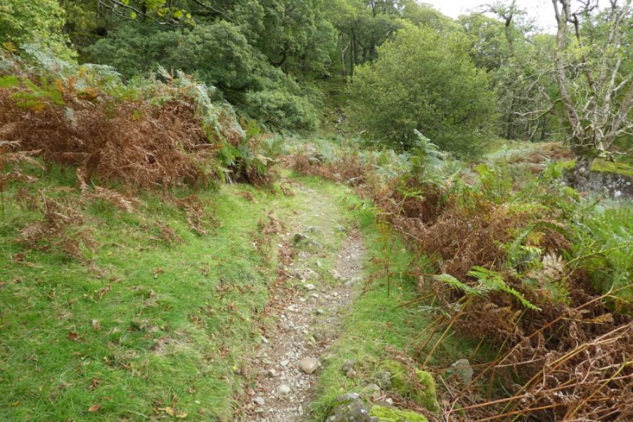
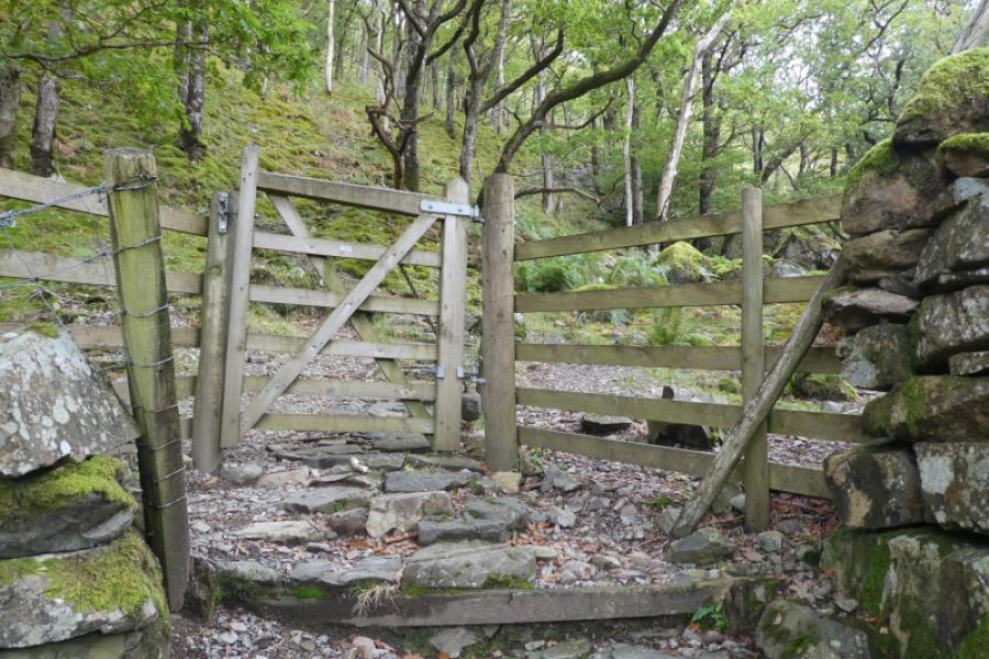
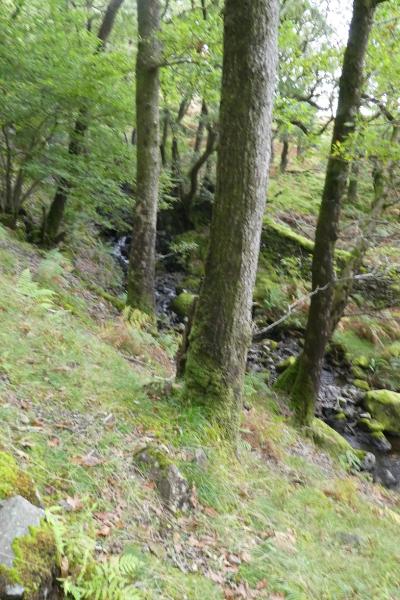
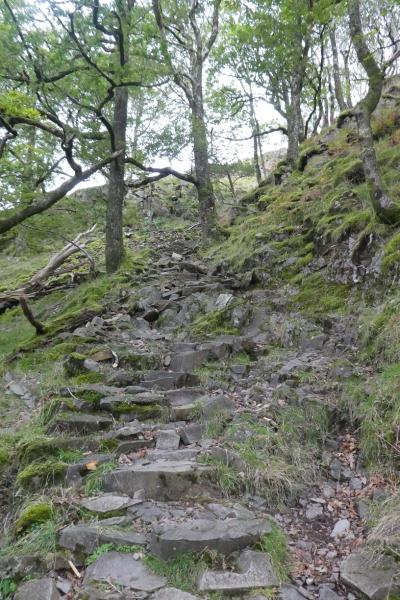
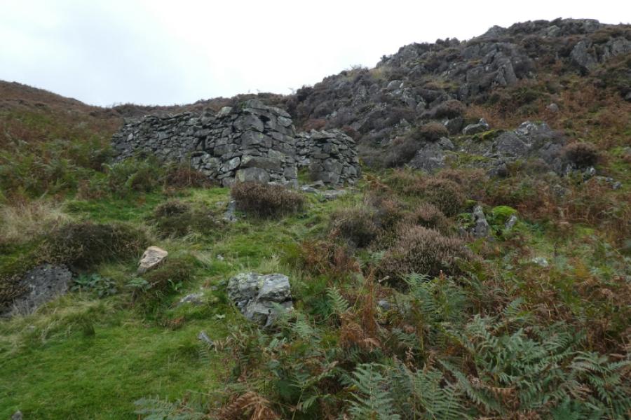
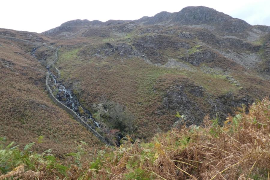
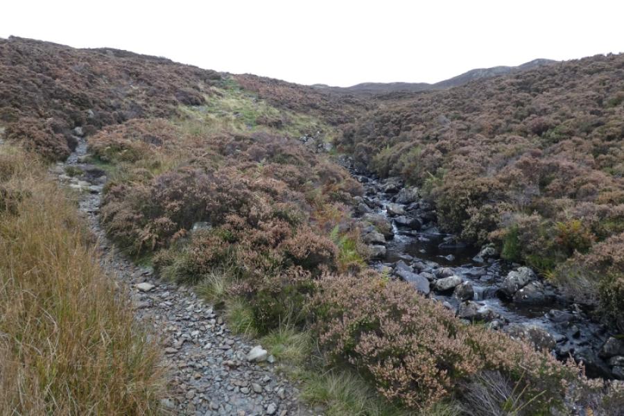
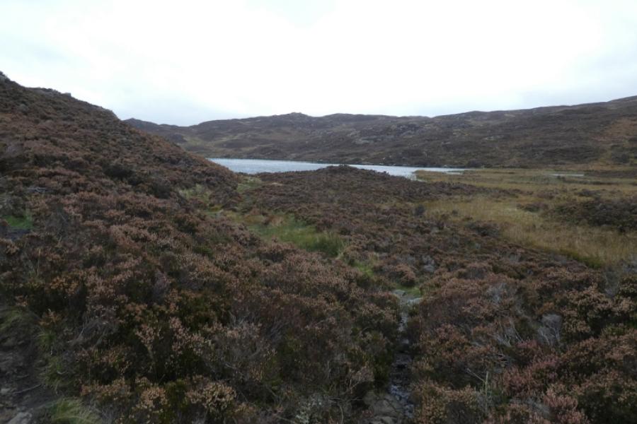
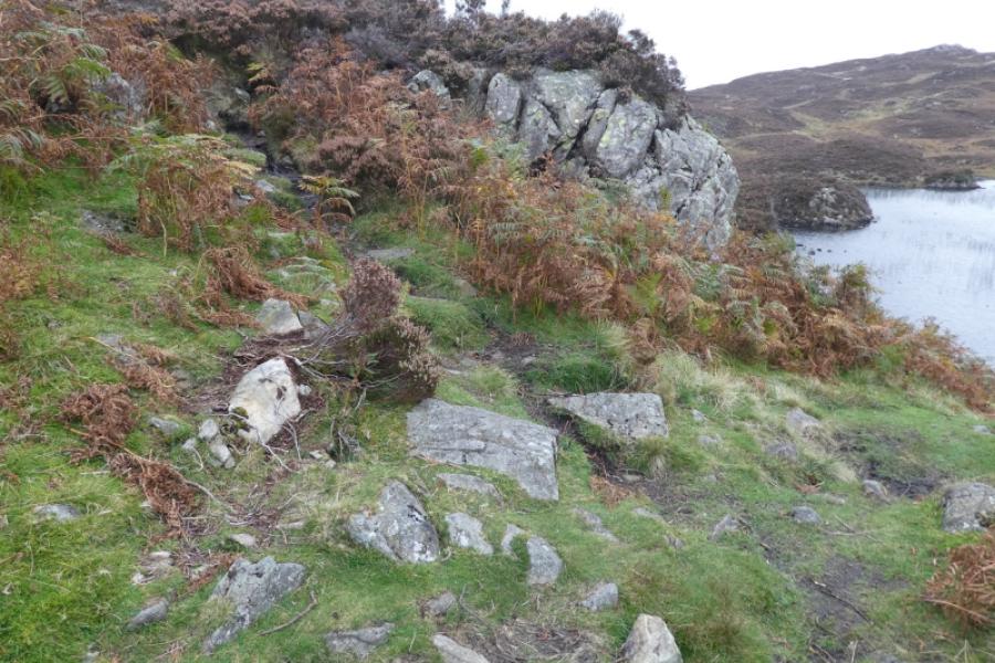
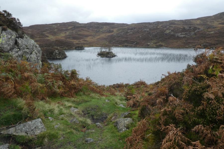
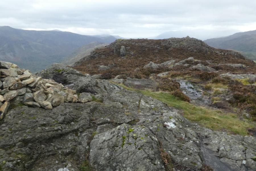
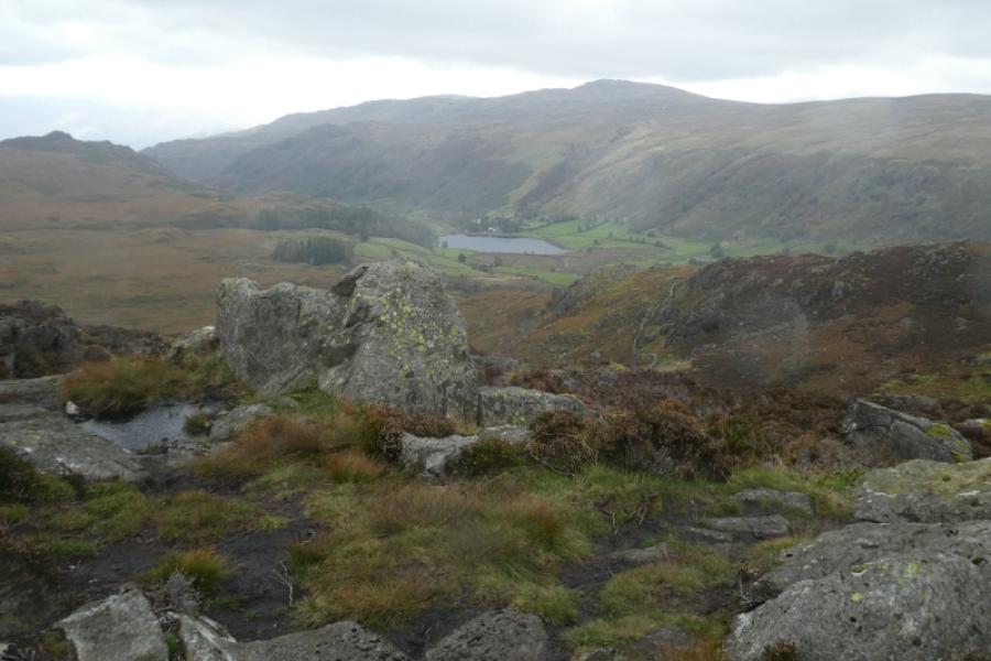
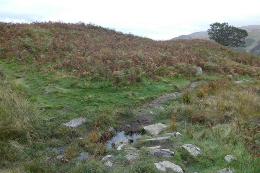
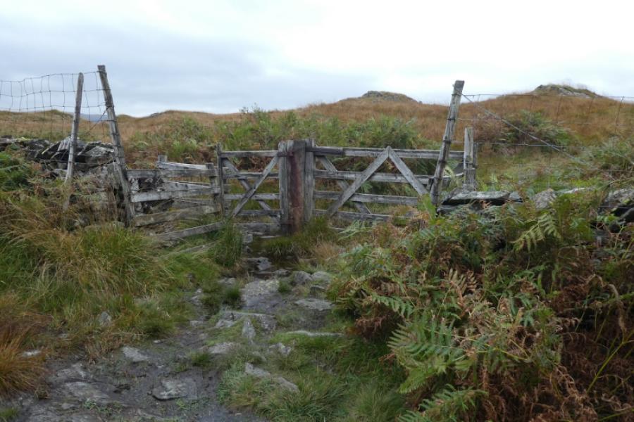
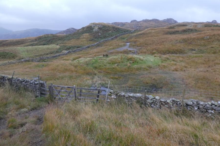
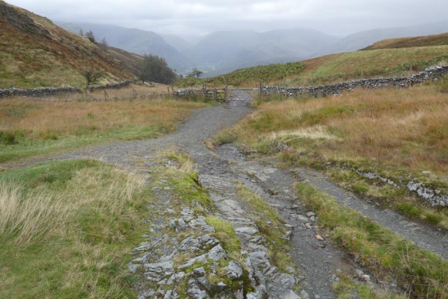
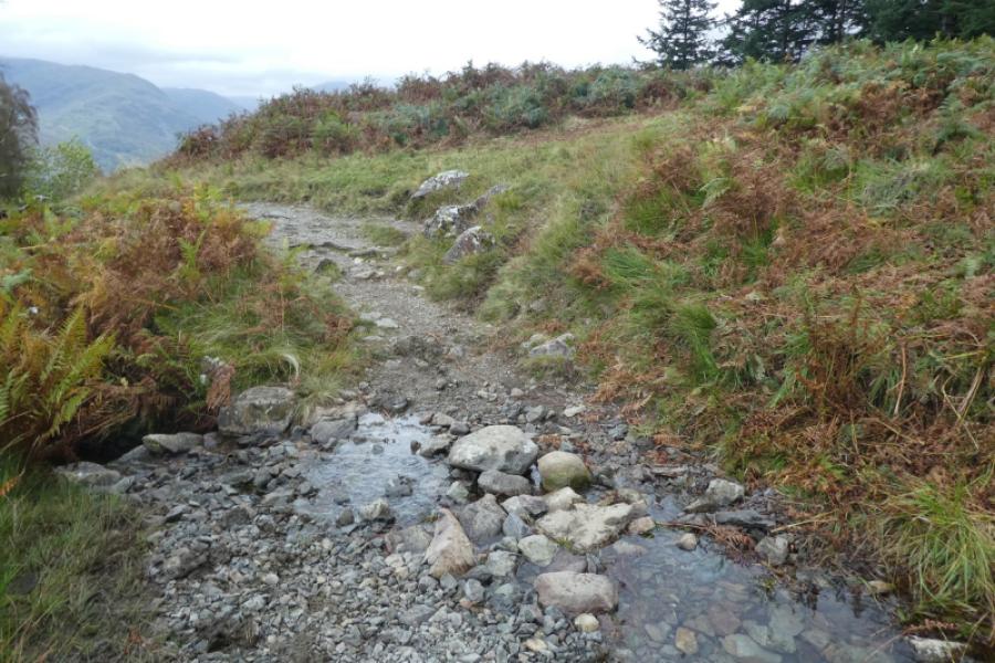
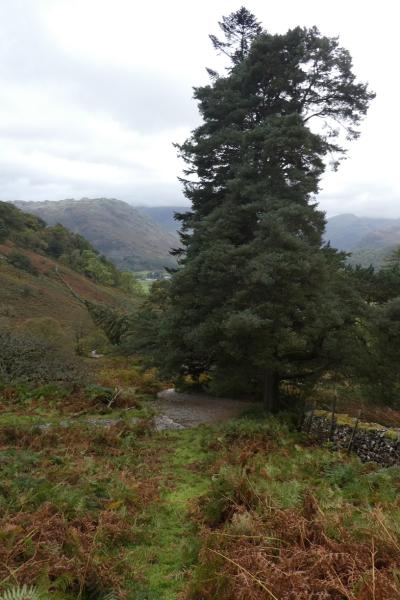
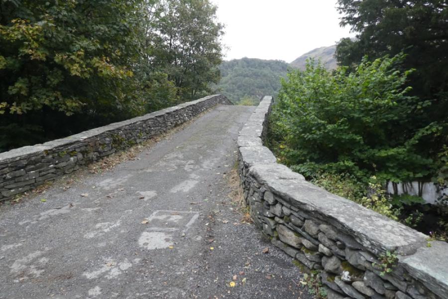
(1) From the Keswick, northern, end of Rosthwaite, take the minor road, near the bus shelter, signed for Watendlath and Stonethwaite. Cross the old stone bridge then go right, signed for Stonethwaite. Follow the path until you pass the old bridge which would take you into Stonethwaite but you aren't going that way. Continue for a few hundred metres until a small sheep fold with stone walls is seen ahead and slightly left. Leave the main path and take the path forking off left. Initially it shadows the path just left but, just after a large tree, it noticeably forks left and will take you all the way to Dock Tarn. A stile is crossed to enter a wood then a gate is passed through near Willygrass Gill which you will probably hear before you see it. After that, the path steepens and twists and turns up to reach the high moorland where it can be boggy. Follow paths which keep you away from the tarn, roughly north west. Great Crag is quite some way and almost the last top before the ridge descends towards Watendlath. There are numerous paths which can make it confusing but try to keep going left when a decent path appears. Eventually, you should end up between the two tops of Great Crag. Visit the southern one first when a medium cairn marks the summit of Great Crag, 456 m. The north top is only about 100 m away and it is hard to tell which is the higher. The north top has a smaller cairn on a rock.
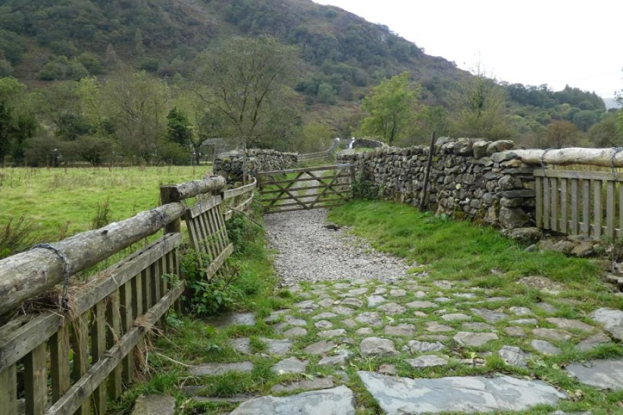
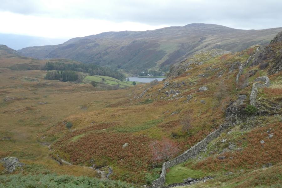
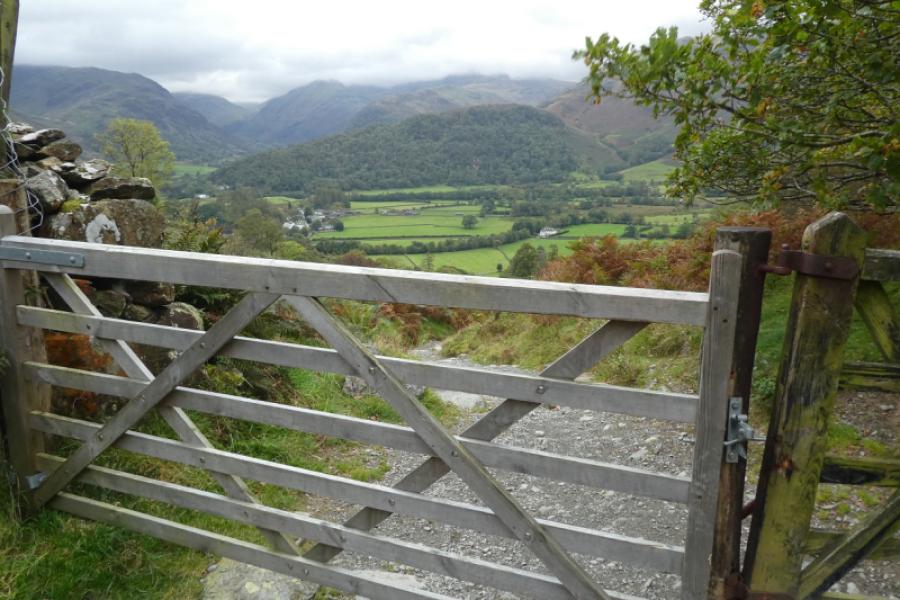
(2) Look for a path descending roughly north east and follow it roughly north until it meets the obvious main path coming from Dock Tarn. Follow this down to the north. It is quite rocky and can be slippery when wet with boggy patches in between. When getting close to a wood near Watendlath, take a green grassy path going off left and follow it to reach the main path from Watendlath to Rosthwaite just above a gate. Turn left and follow the path down until, when quite low down, you reach a signpost and go right through a gate onto a path which leads back to the old stone bridge crossed earlier.
Notes
(a) This walk took place on 1st October, 2024.
(b) Brund Fell could easily be added into this walk once the main path from Watendlath to Rosthwaite is reached. The route can be found under Brund Fell and many will complete the diversion in under an hour.
Photos - Hover over photo for caption. Click on to enlarge. Click on again to reduce.