Get Lost Mountaineering
You are here: England » Lake District » 3 Central Fells
High Tove & Armboth Fell from Watendlath
High Tove & Armboth Fell from Watendlath
Start/Finish
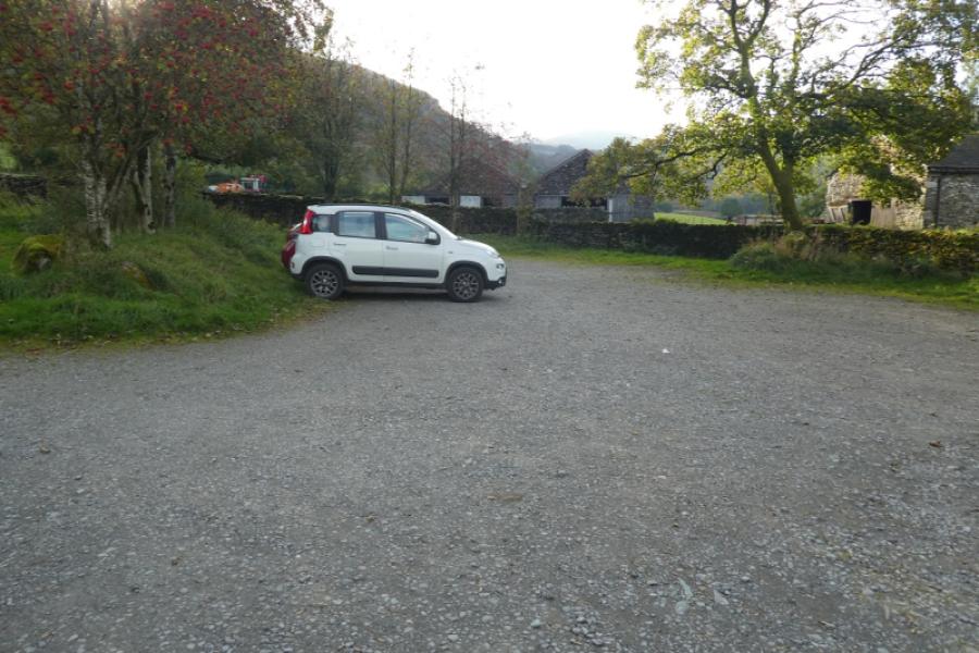
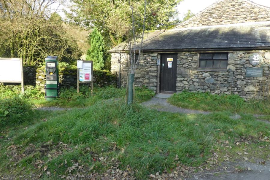
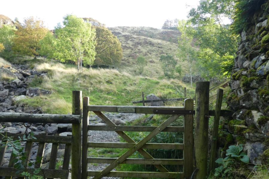
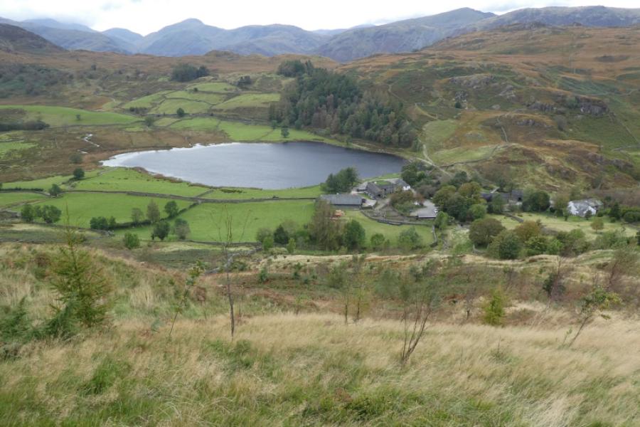
National Trust car park, free to member, in the hamlet of Watendlath which is reached by driving up the minor road (for 4 miles) which leaves the Borrowdale road about 2 miles south of Keswick. The road to Watendlath involves crossing the very narrow Ashness Bridge after which the road itself becomes very narrow indeed with few passing places. In the summer, this road can be very busy and even more frustrating. An alternative start is from Rosthwaite, about 4 miles further up the Borrowdale valley, where a good path leads over to Watendlath. There is a cafe at Watendlath but best to check its opening hours before relying on it being open.
Distance/Time
6 km About 2 - 3 hours
Peaks
High Tove, 515 m, NY 289 165.
Armboth Fell, 479 m, NY 297 160.
OS 90: Penrith & Keswick OL4 North Western Lakes
Introduction
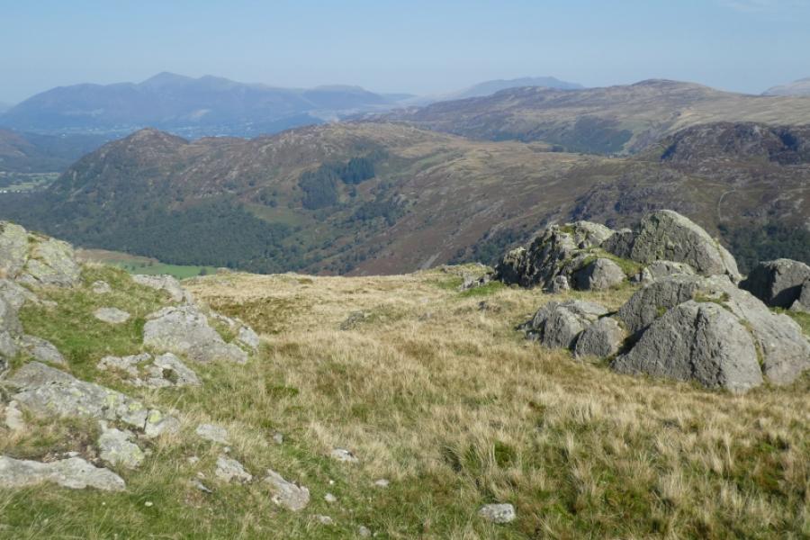
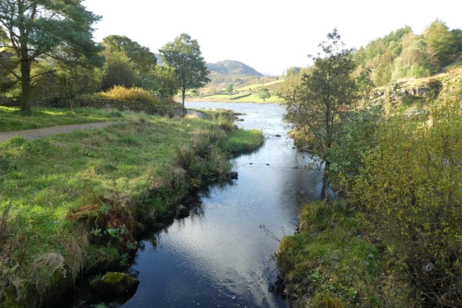
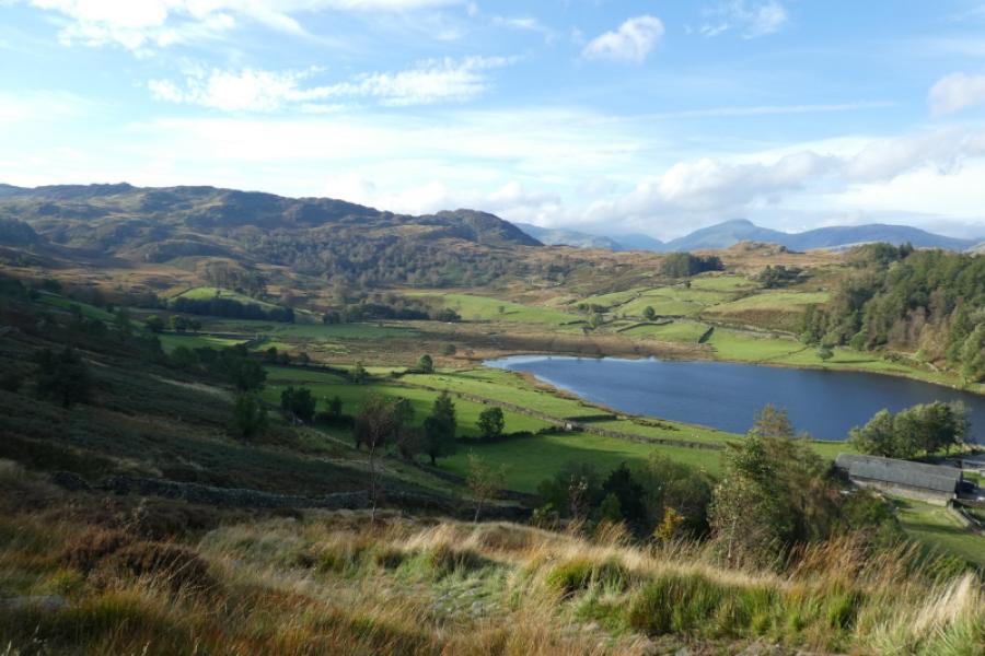
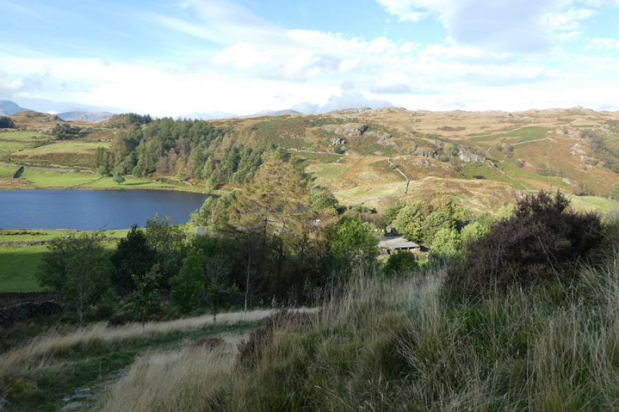
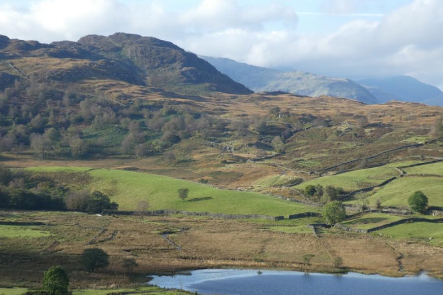
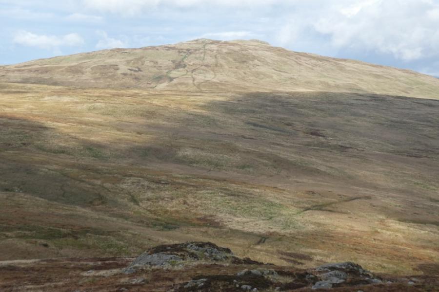
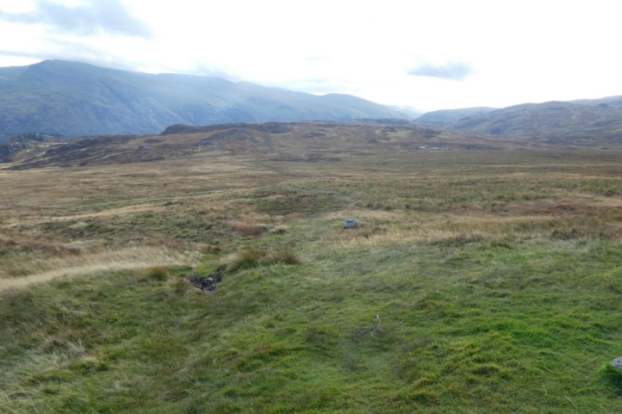
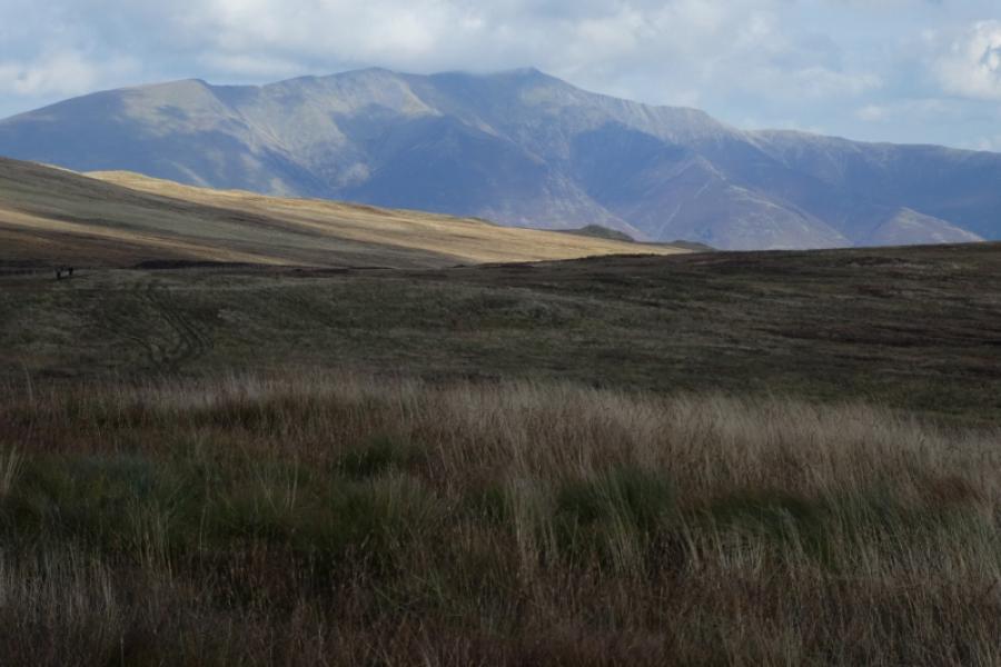
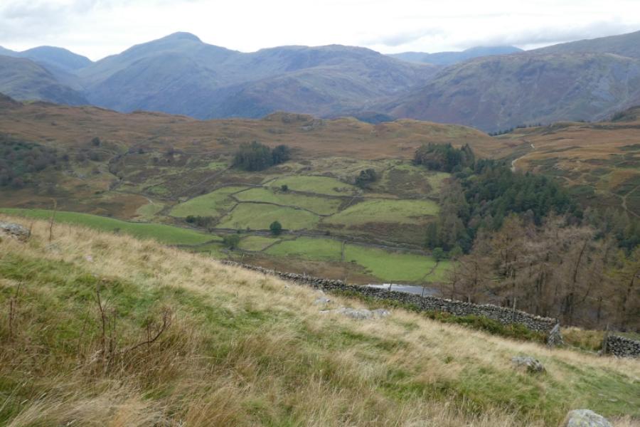
This is essentially a high moorland walk some of which is over wet and boggy ground not all of which can be easily avoided. The views are excellent and extensive including to the Helvellyn range, the Grisedale Horseshoe and Great Gable.
Route
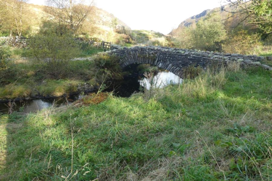
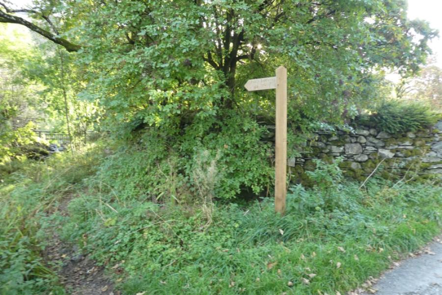
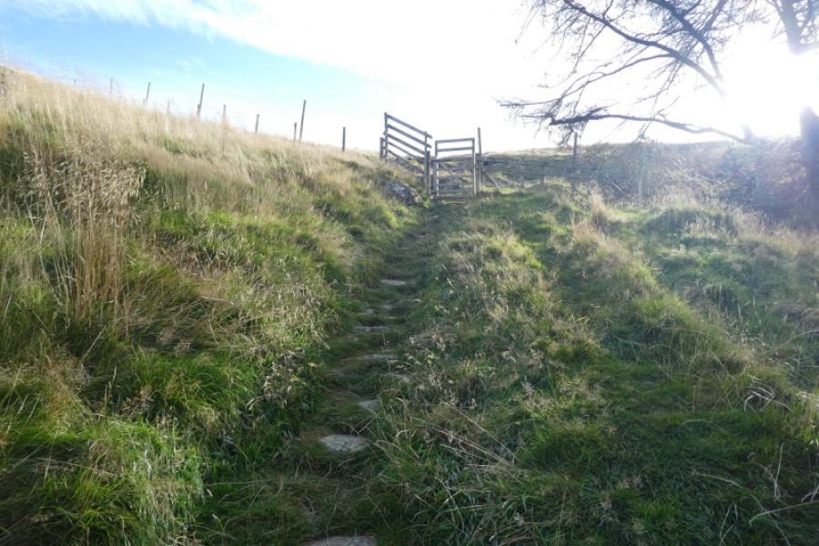
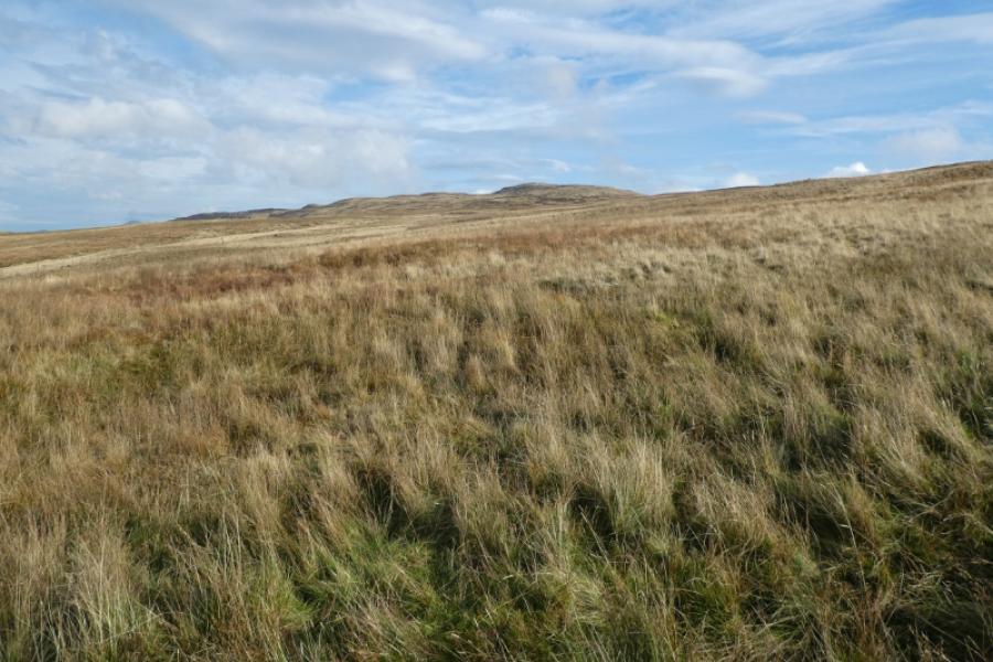
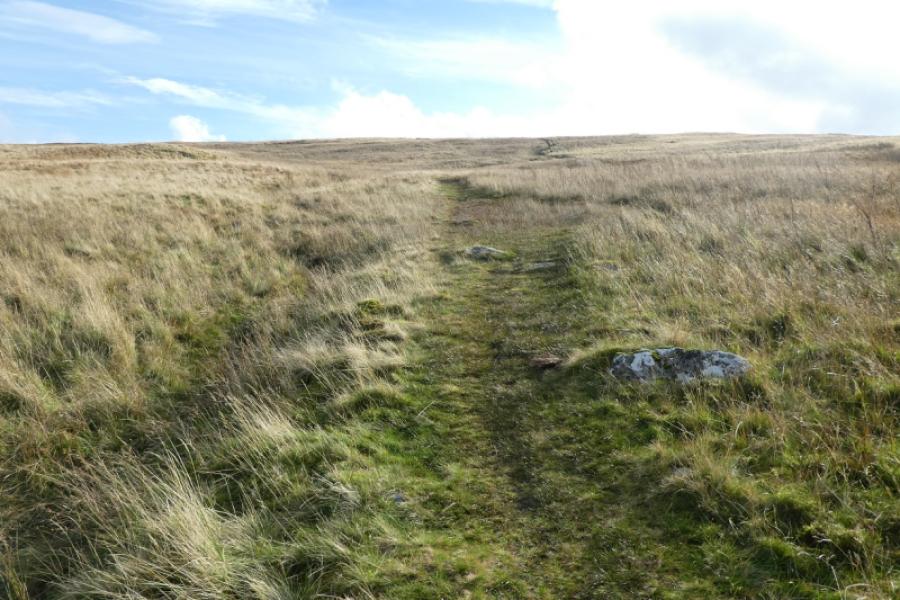
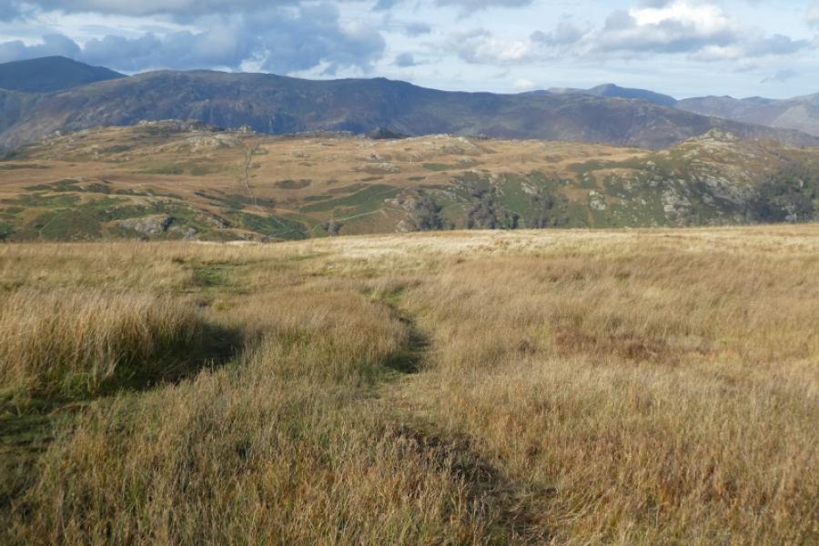
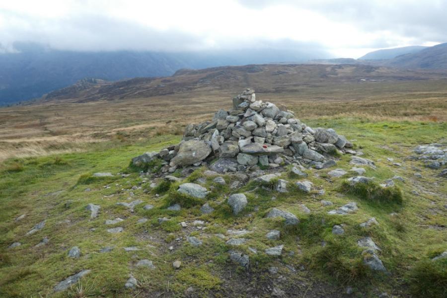
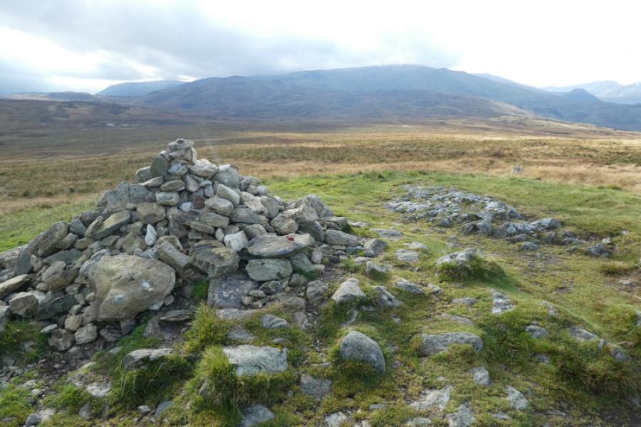
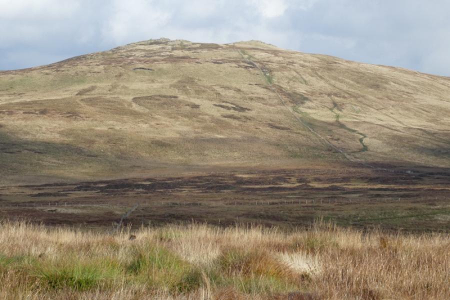
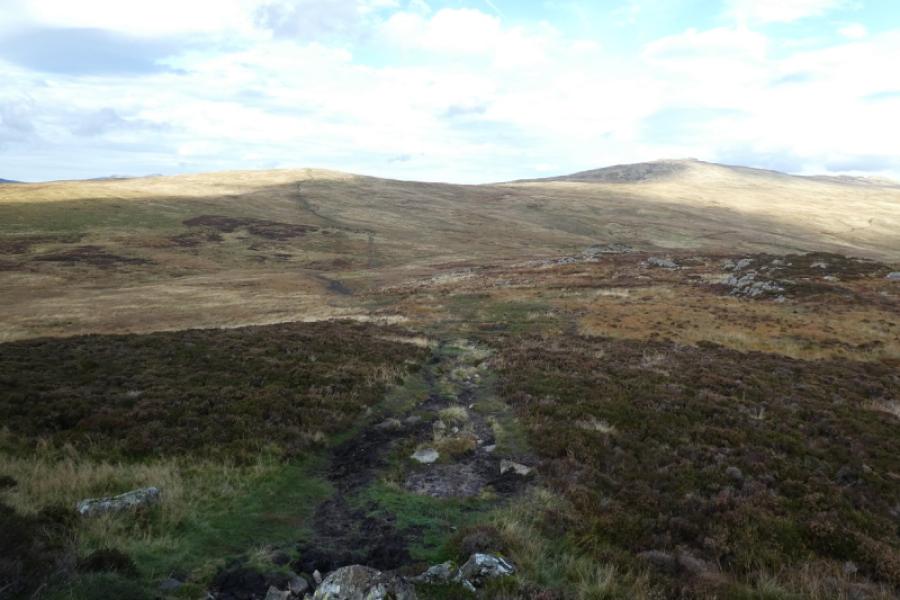
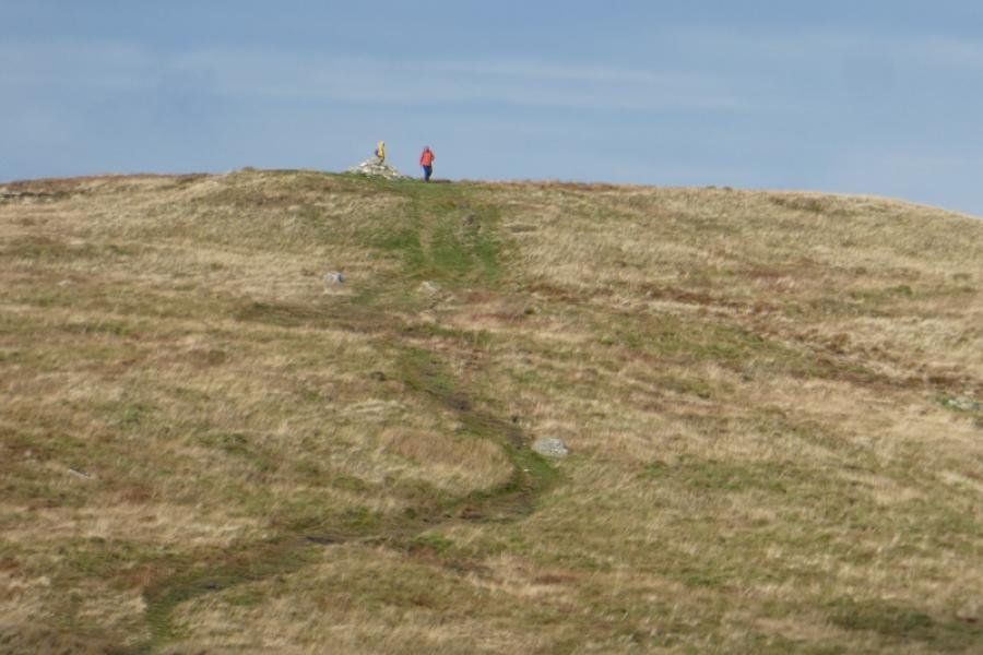
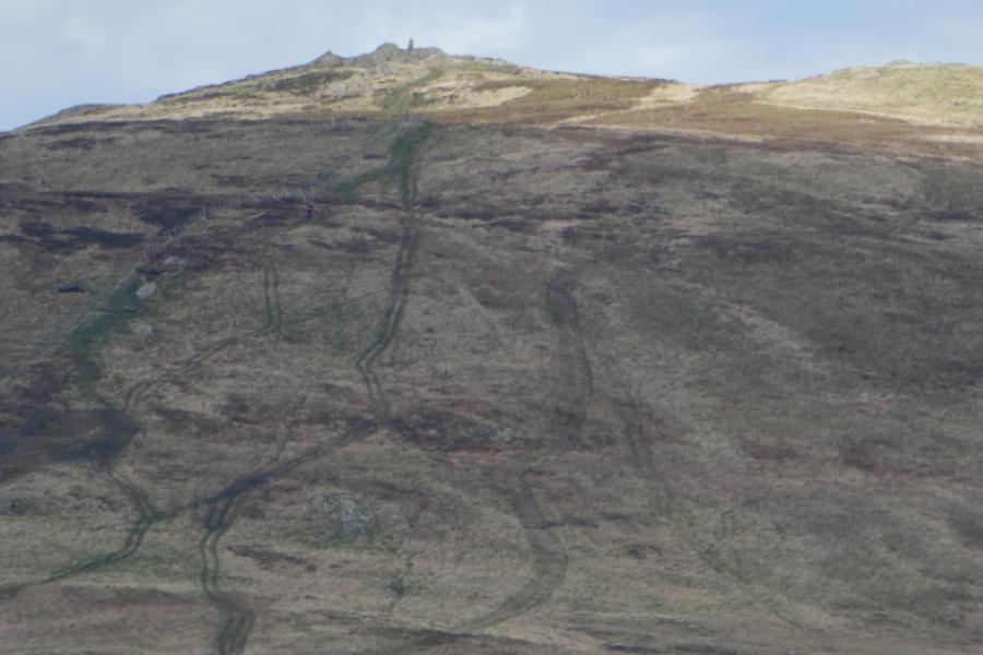
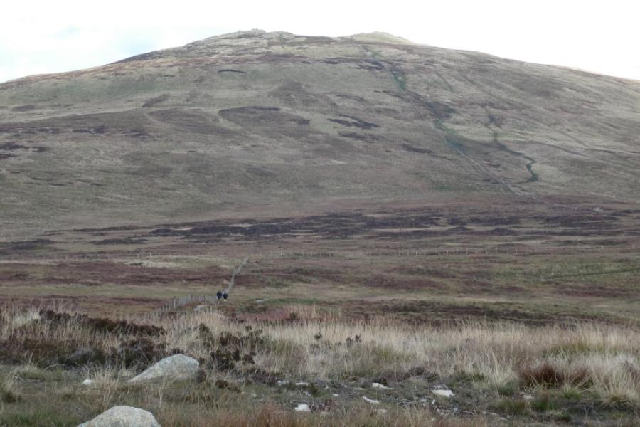
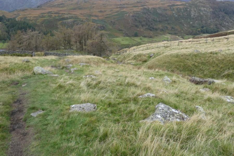
(1) Walk out of the car park and, almost immediately, there is a footpath sign on the right. This path leads all the way to the summit and, lower down, has had much work done on it. Follow the path up, steeply in places, until a gate is reached by a small wood. Continue ahead. Don't be tempted by a grassy path curving to the left. The stream is crossed within about 10 m. Continue up. As the gradient eases, the ground becomes wetter and more boggy but there is nothing horrendous. Some peat restoration work is going on, 2024, which may include a better path. A gate is passed through just before the medium cairn which marks the summit of High Tove, 515 m.
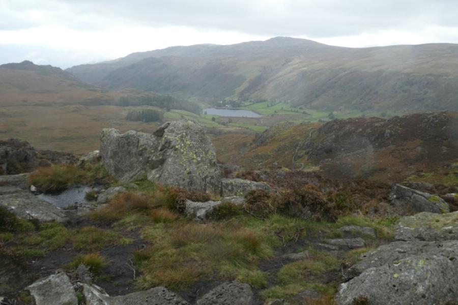
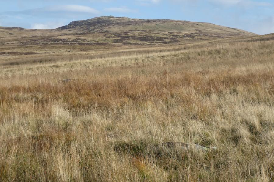
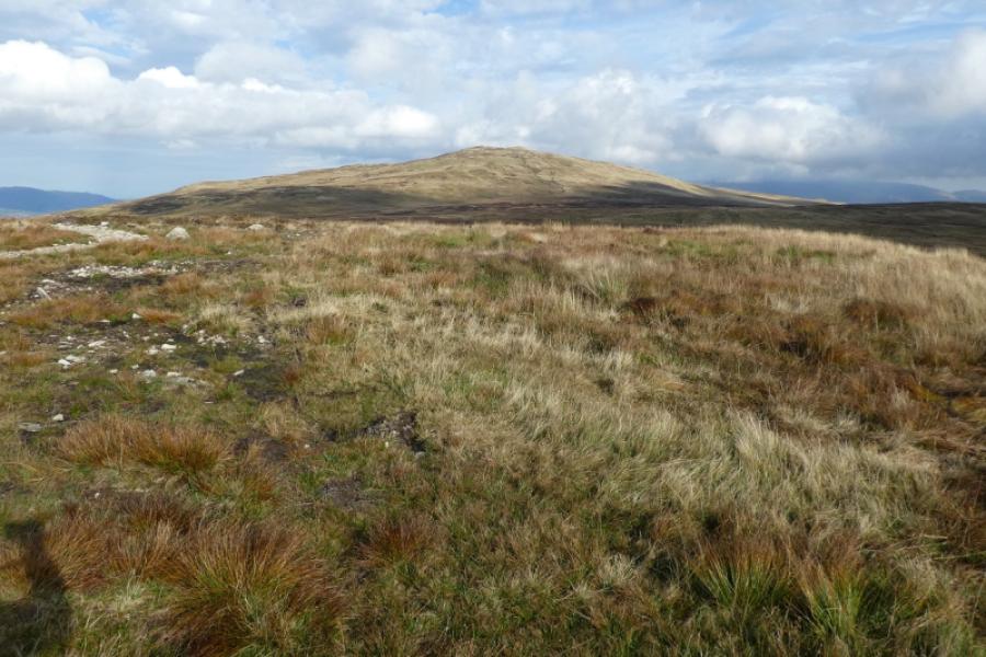
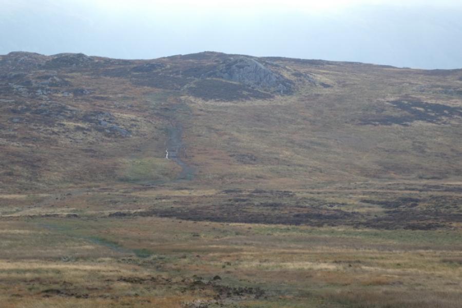
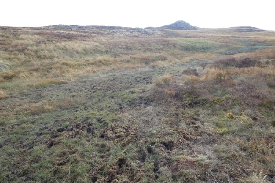
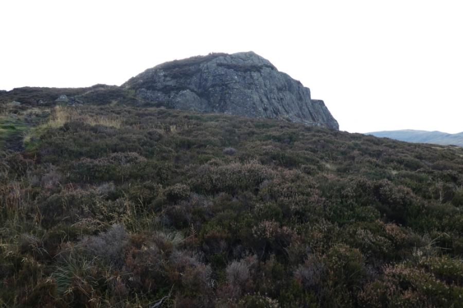
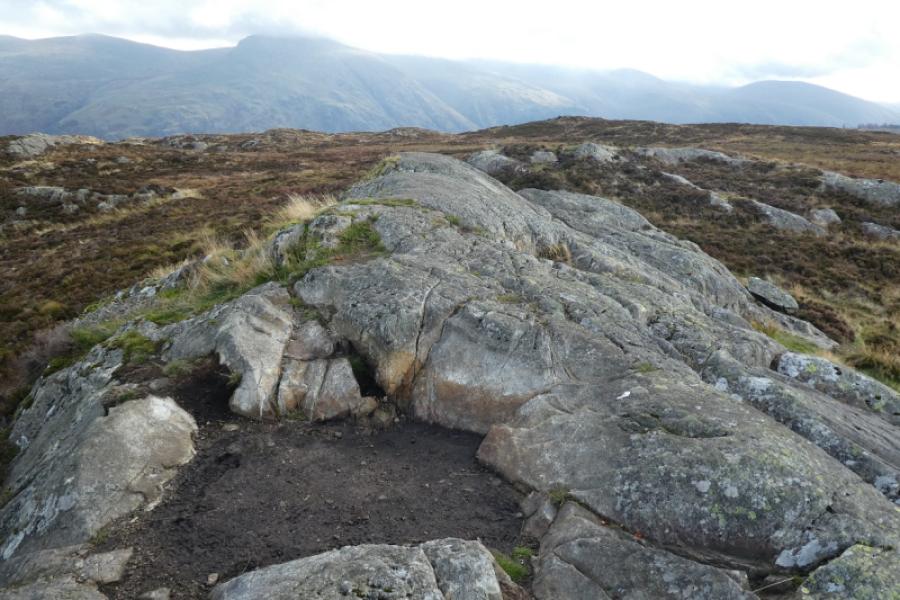
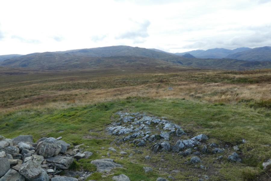
(2) Armboth Fell is about 1 km SE from here. In clear weather, its highest point is on the obvious crag beyond which it looks higher but isn't. There is a fairly obvious path from High Tove to Armboth Fell but it is wet and boggy in places and, as a result, is getting wider as people look for drier ground. Once the lowest area is crossed, the ground improves and a path leads up the side of the obvious crag which is quite rocky and rounded on top. There is no cairn but the highest point on the rock is Armboth Fell, 479 m. In clear weather, this is obviously the highets point on the fell.
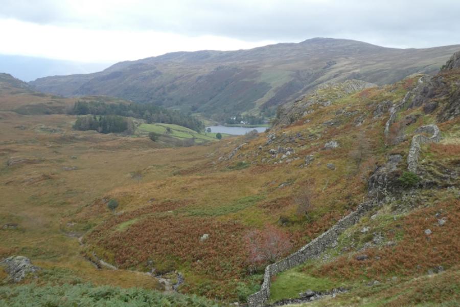
(3) Retrace back to High Tove then retrace back to Watendlath.
Notes
(a) This walk took place on 4th October, 2024.
Photos - Hover over photo for caption. Click on to enlarge. Click on again to reduce.