Get Lost Mountaineering
You are here: England » Lake District » 6 North Western Fells
Stile End, Outerside & Barrow from Braithwaite from Braithwaite
Stile End, Outerside & Barrow from Braithwaite from Braithwaite
Start/Finish
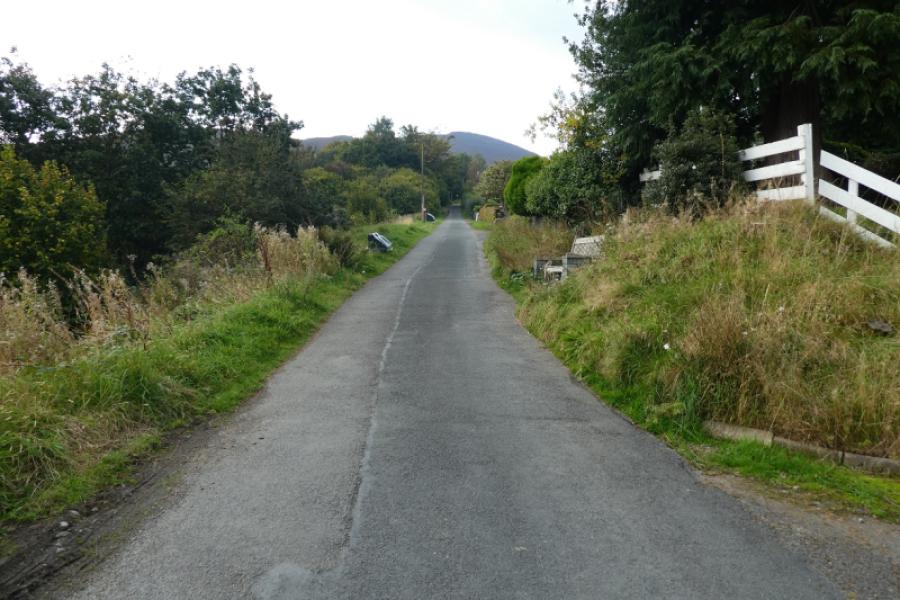
Braithwaite village about 3 miles W of Keswick. Park near the school if possible. The Royal Oak pub is at the top of this road and there is a time share complex opposite the school.
Distance/Time
8 km About 3 – 4 hours
Peaks
Stile End, 447 m, NY 220 219
Outerside, 568 m, NY 211 215
Barrow, 455 m, NY 227 218
OS 1: 50 000 Sheet 90 Penrith & Keswick OL4 North Western Lakes
Introduction
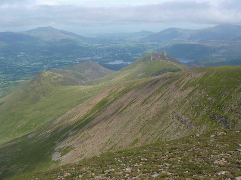
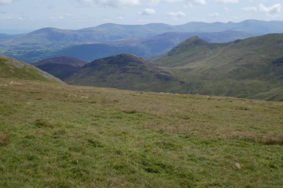
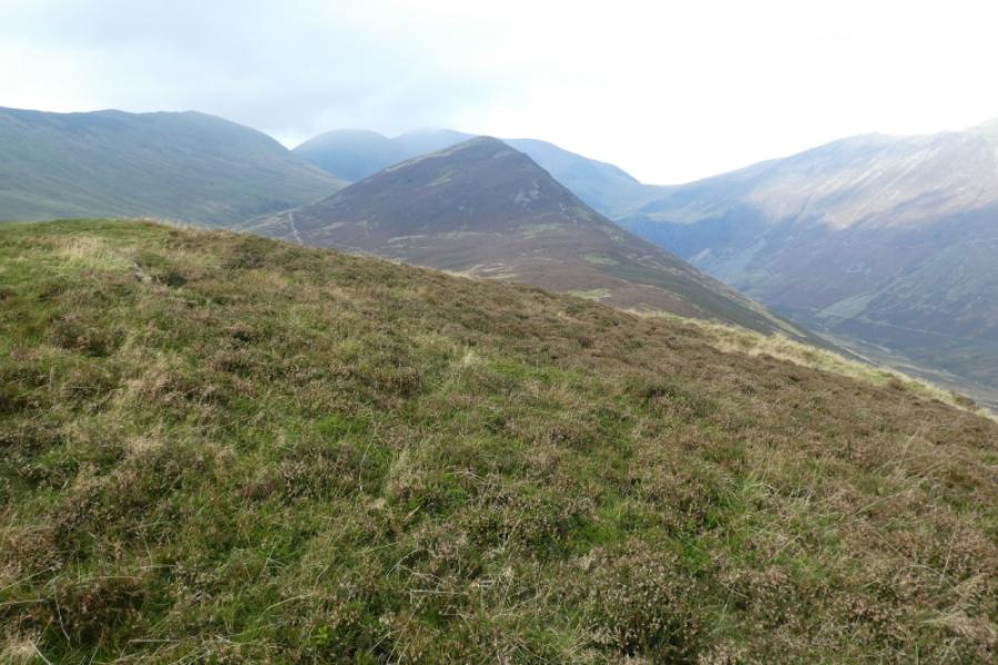
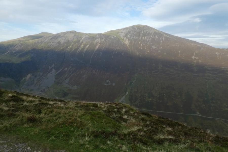
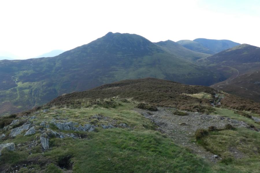
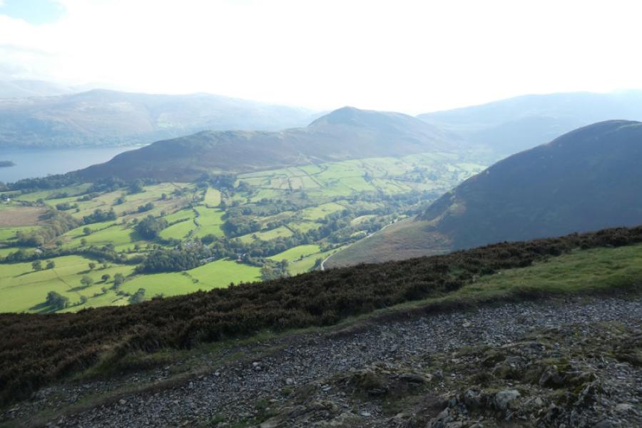
This is a very fine walk with excellent views on a clear day. Skiddaw, Blencathra, the Helvellyn Range and Cat Bells can all be seen but Grisedale Pike dominates. In mist, navigation is relatively straightforward due to very good and distinctive paths. There are many paths leading out of Braithwaite with few, if any, helpful signs so be careful at the start.
Route
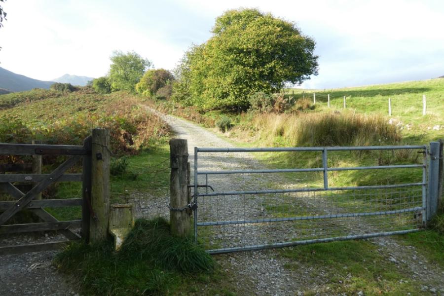
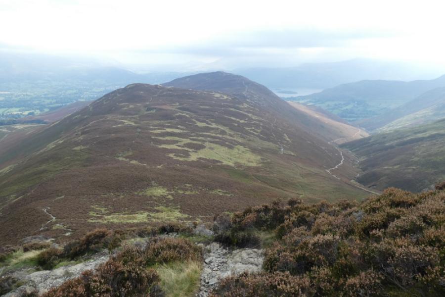
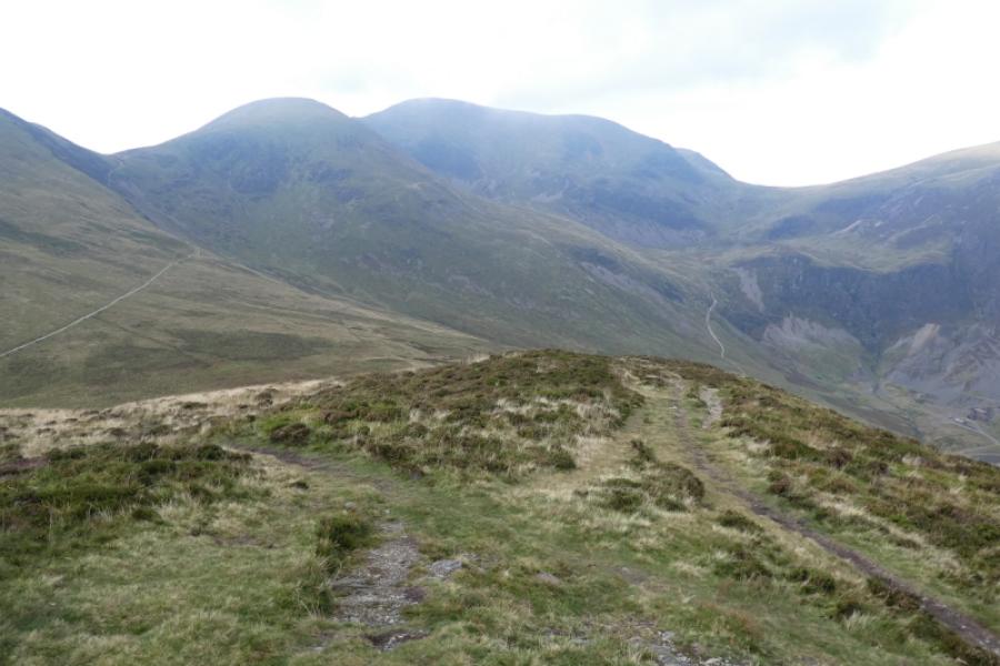
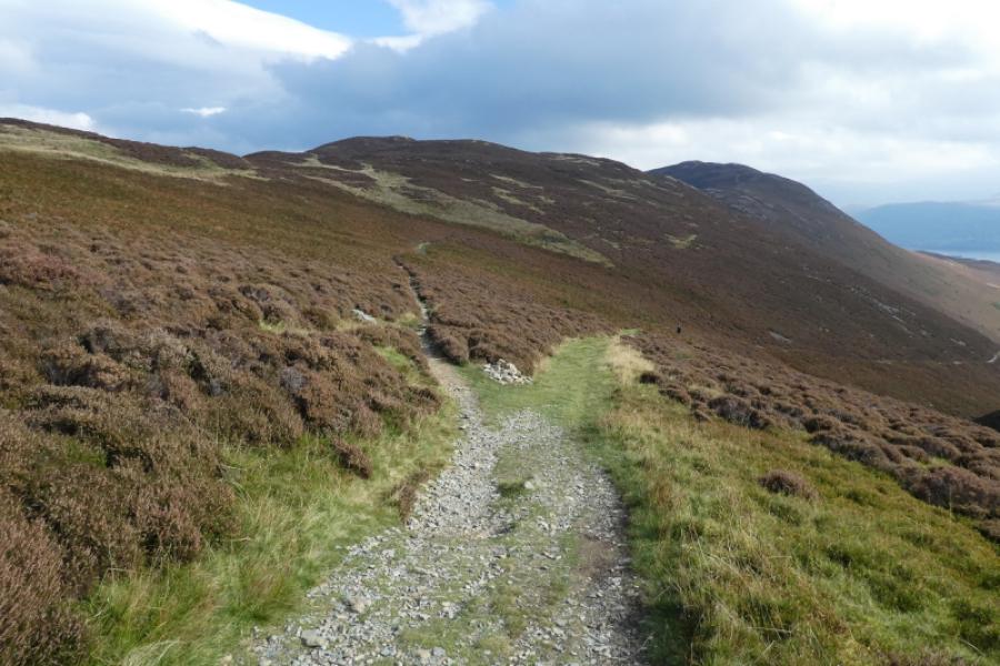
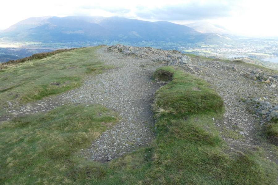
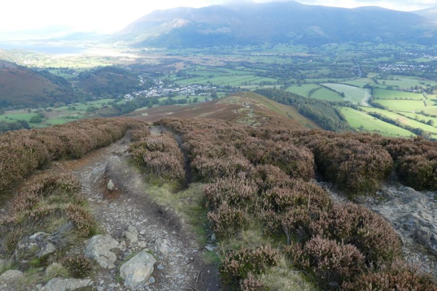
(1) From the Royal Oak, walk up the Whinlatter Pass road for a short distance until you can go left over an old bridge, signed Coledale. Turn right and head towards the church (white building). Just before the church is reached, take a path after the last house on the left which leads up to the Coledale Inn. Walk along the road, with the inn on your right, and follow it around Coleby Corner where there is a house with that name. You should now be looking up a long, straight tarmac road. Follow that up. After a gate, the road becomes a gravel track then a broad grassy path. Continue ahead and climb Stile End which should be directly in front of you. Reach the highest point which is the summit of Stile End, 447 m, although there is no cairn.
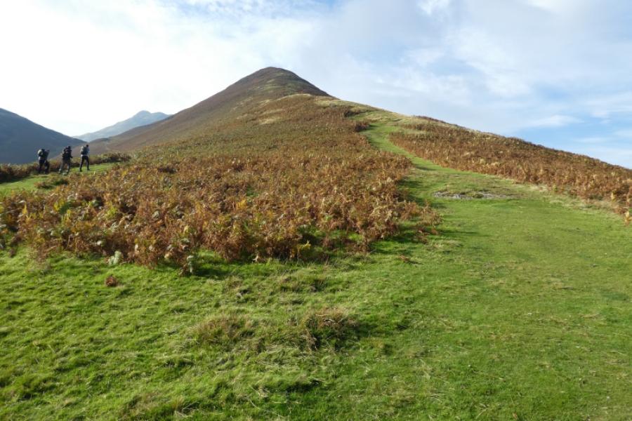
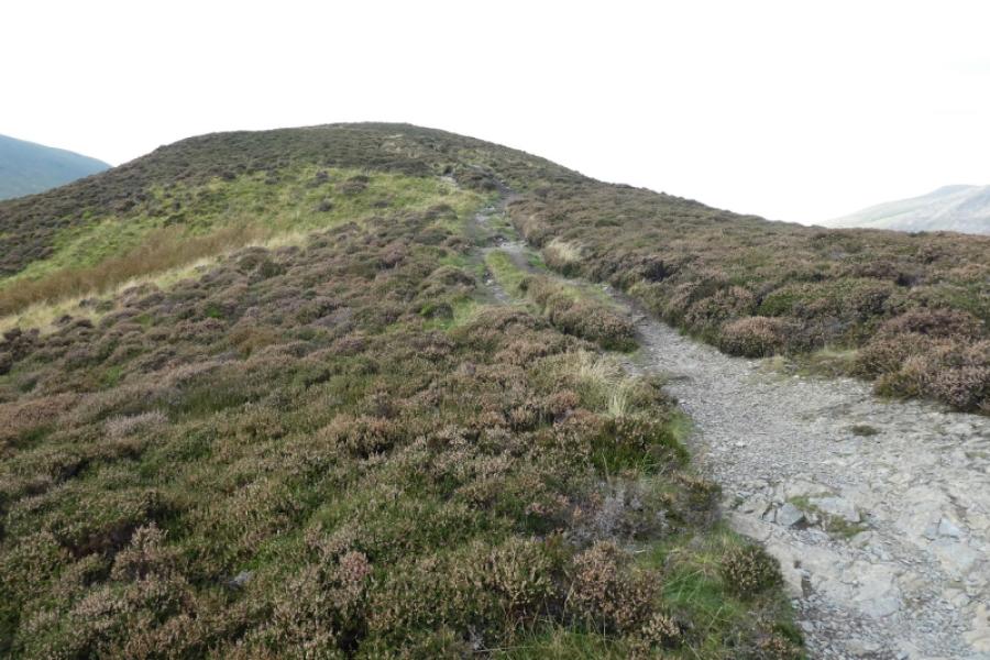
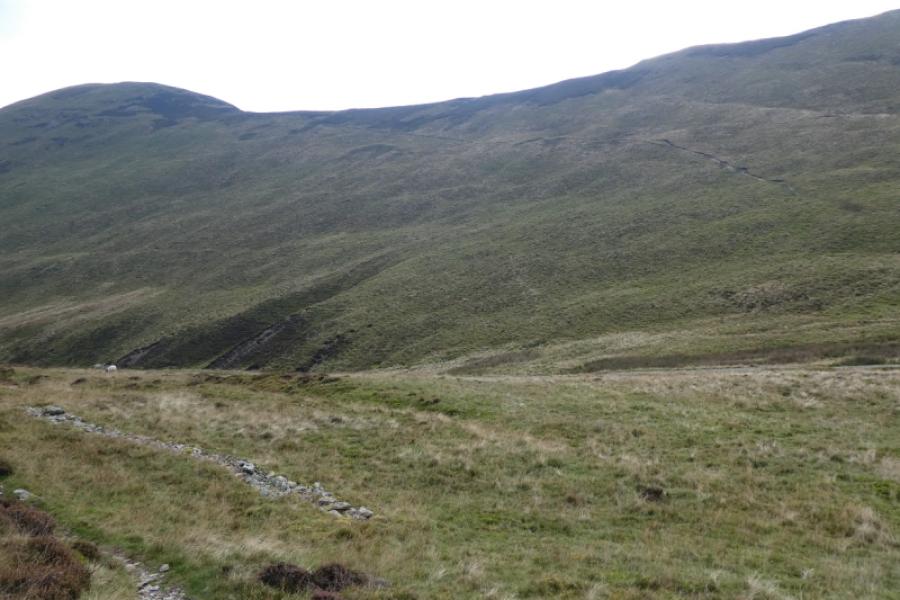
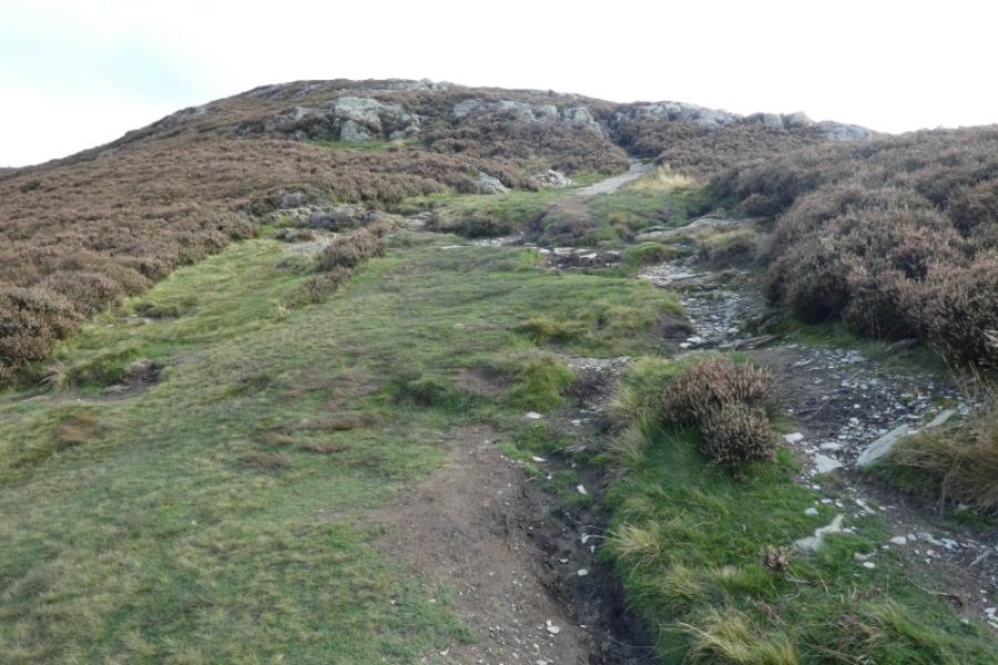
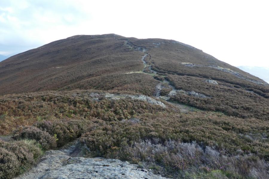
(2) Continue in roughly the same direction, descending to Low Moss, can be wet and boggy, where there is a choice of paths to continue to Outerside. The paths all meet before the ascent proper begins. Follow the heathery and occasionally rocky path up over several shoulders before reaching the highest point where a medium cairn marks the summit of Outerside, 568.
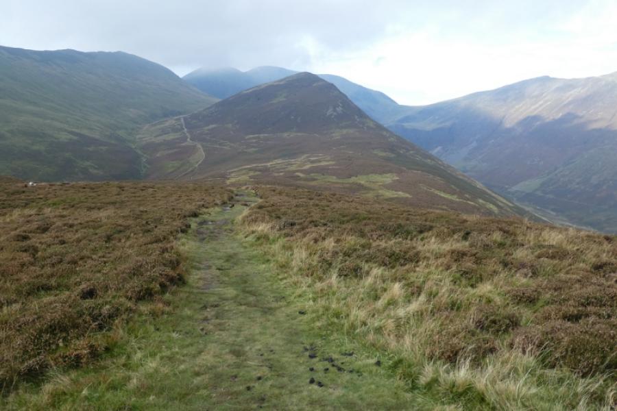
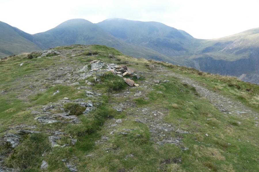
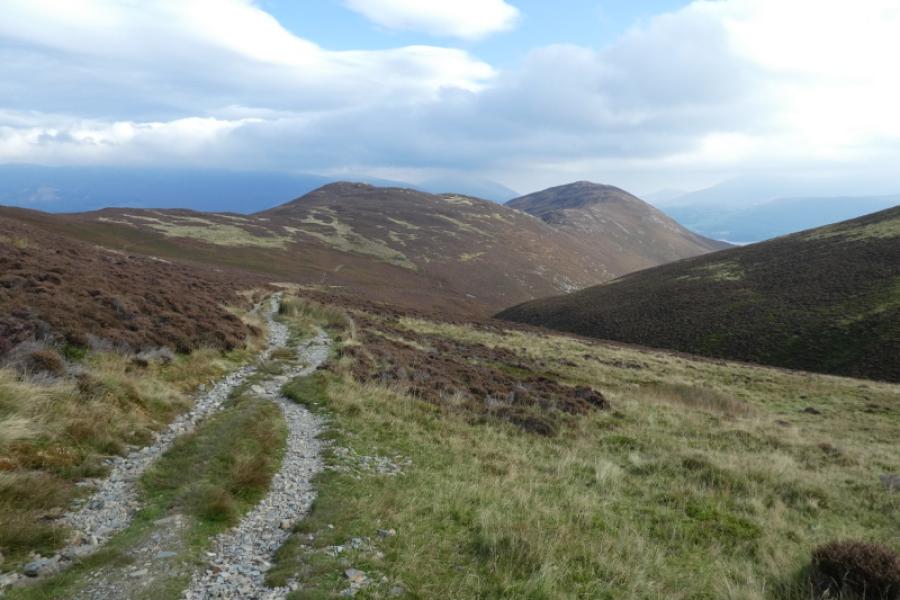
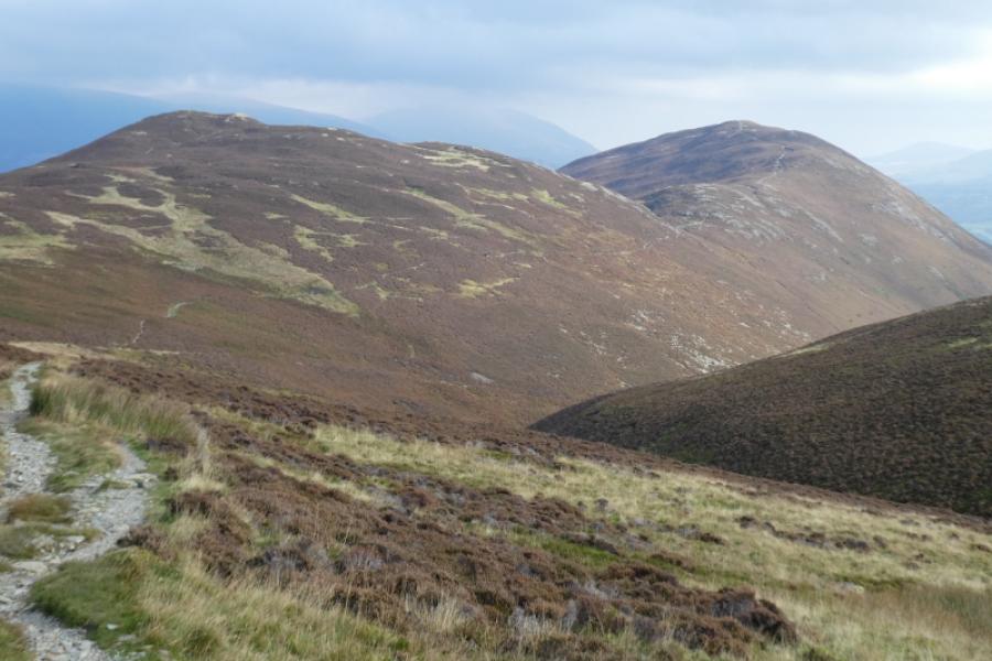
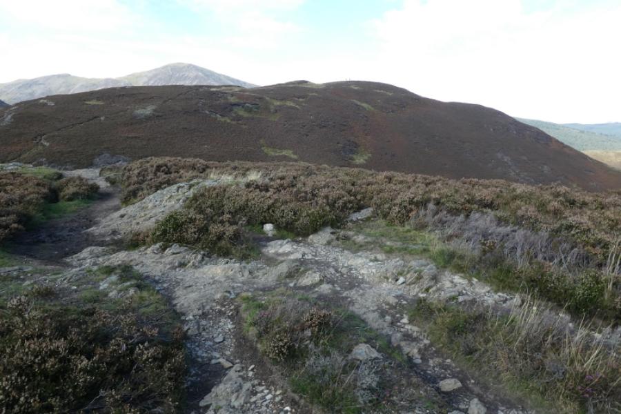
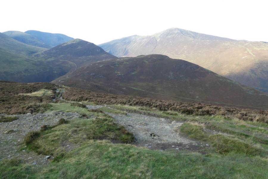
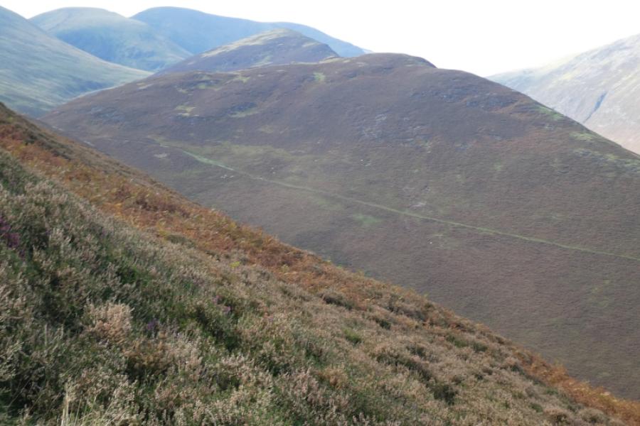
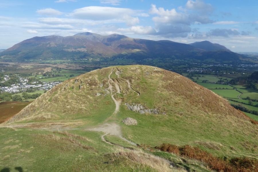
(3) Continue ahead, hardly descending before the path splits almost immediately. Take the left fork which leads down to the prominent main path below Causey Pike. Turn left and follow the path, slightly downhill, between Outerside and Causey Pike until the path splits at a cairn. Take the left fork and follow it to the dip between Stile End and Barrow known as Barrow Door. Follow the obvious path up Barrow to reach the highest point which is the summit of Barrow, 455 m. There is no cairn marking the summit.
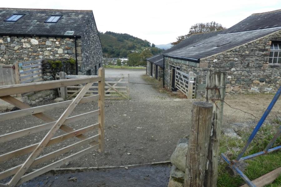
(4) Continue ahead on the obvious path down the NNE ridge of Barrow. Ignore all paths leading off the ridge and follow it all the way down to the farm at Little Braithwaite. Follow the farm track to the road then turn left to reach the junction with the Whinlatter road at the Royal Oak.
Notes
(a) This walk took place on 5th October, 2024.
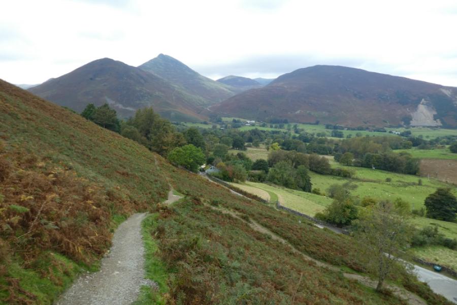
Photos - Hover over photo for caption. Click on to enlarge. Click on again to reduce.