Get Lost Mountaineering
You are here: England » Lake District » 3 Central Fells
Helm Crag, Gibson Knott, Calf Crag & Steel Fell from Grasmere
Helm Crag, Gibson Knott, Calf Crag & Steel Fell from Grasmere
Start/Finish
Layby on A591 (northbound) a few hundred metres north of the last houses in Grasmere. If full, there are other laybys on the oppoiste side of the road further north. If two cars are available, one could be in Grasmere and the other on the A591.
Distance/Time
13 km About 7 – 8 hours
Peaks
Helm Crag, 405 m, NY 327 093.
Gibson Knott, 420 m, NY 319 099.
Calf Crag, 537 m, NY 301 104.
Steel Fell, 553 m, NY 319 111.
OS 1: 50 000 , Sheet 90: Penrith & Keswick
OS 1: 25 000 Outdoor Leisure 6, English Lake District SW Area.
OS 1: 25 000 Outdoor Leisure 7, English Lake District SE Area.
Introduction
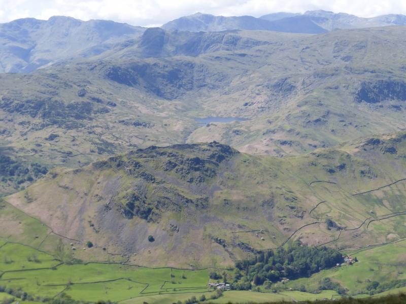
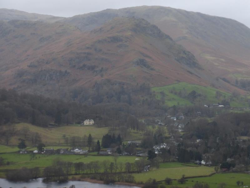
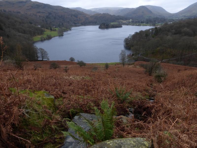
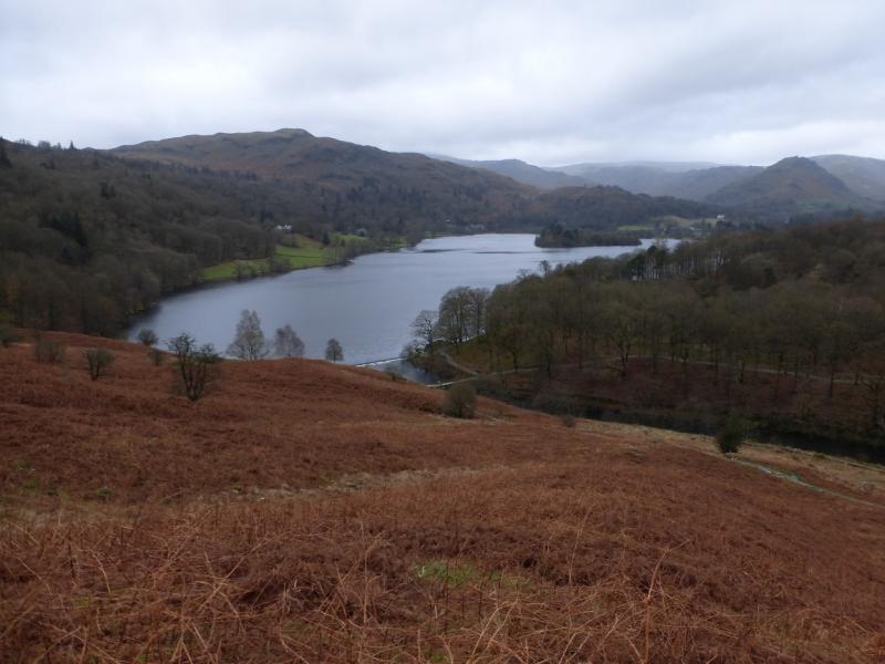
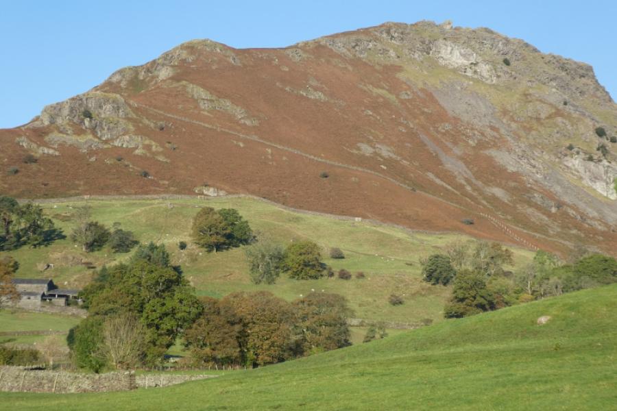
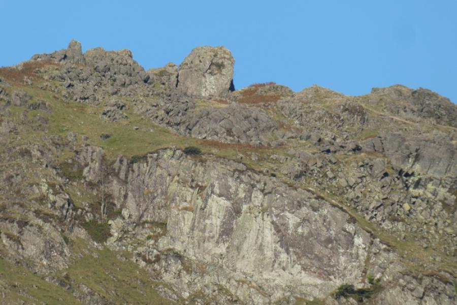
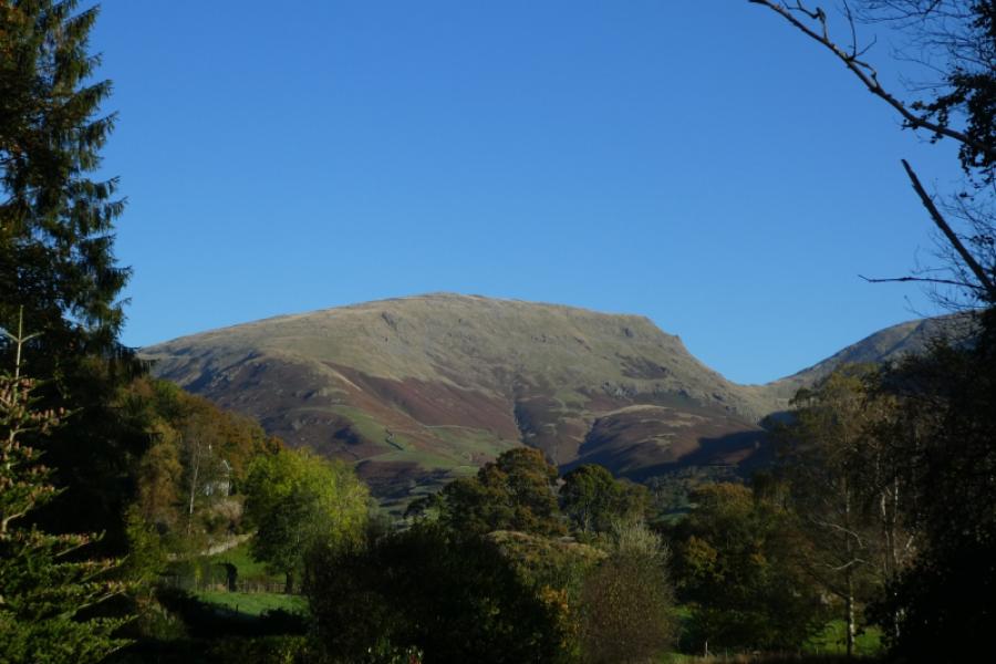
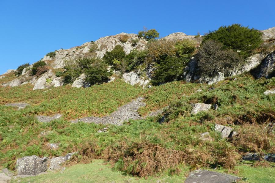
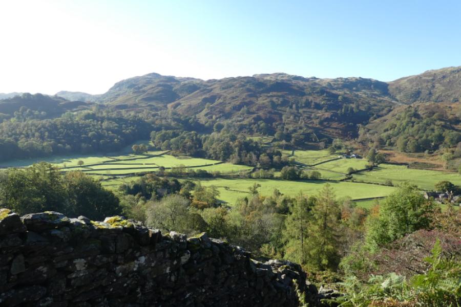
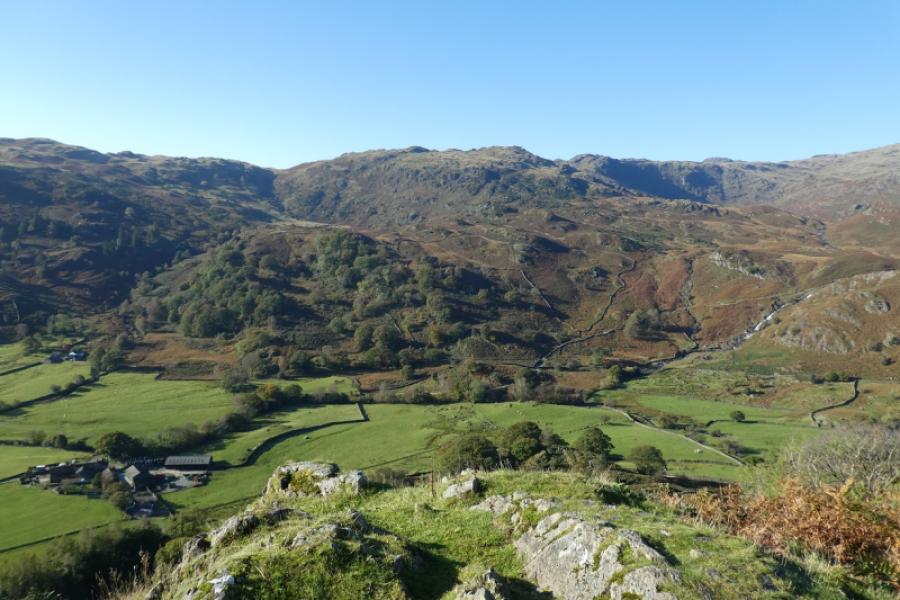
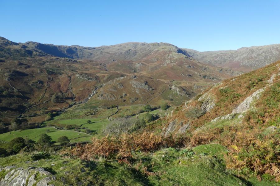
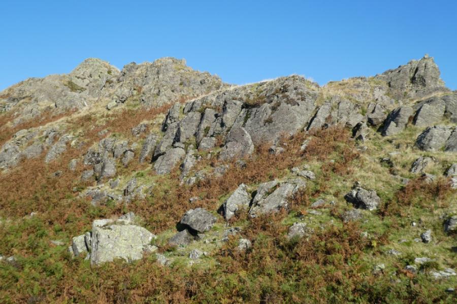
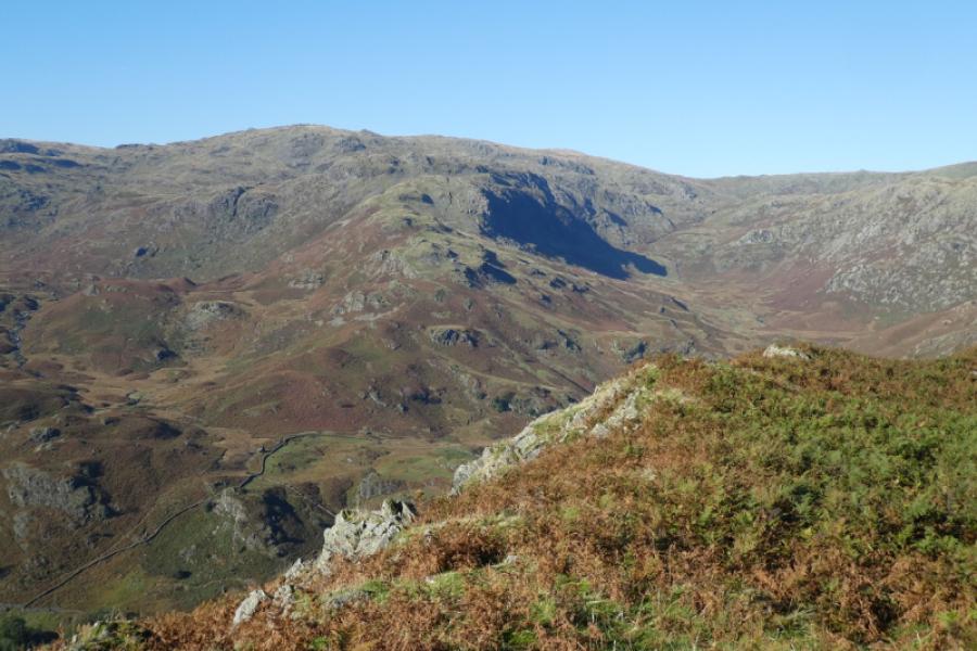
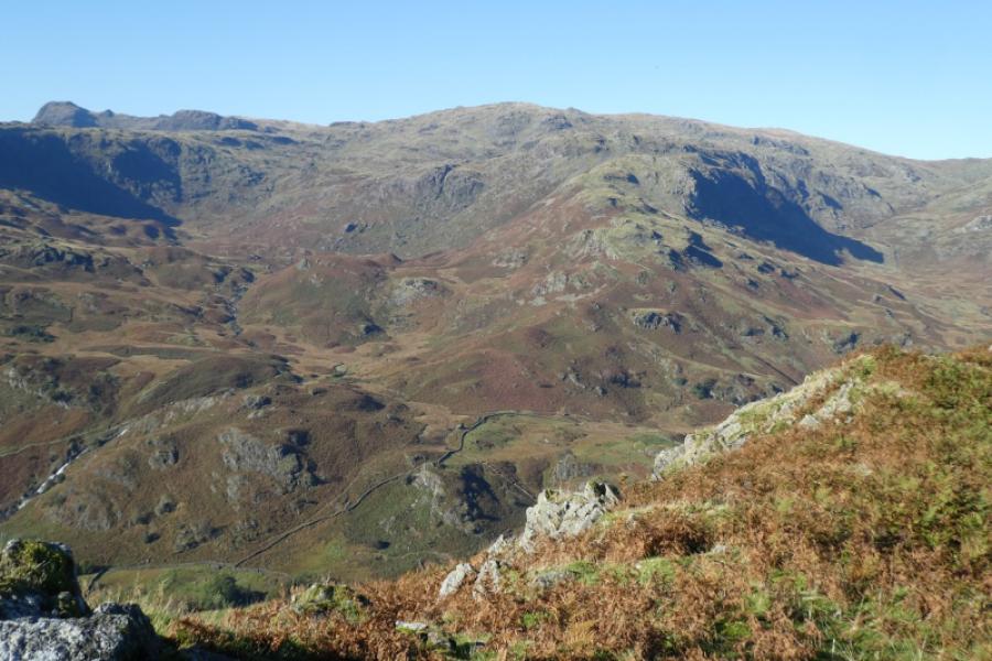
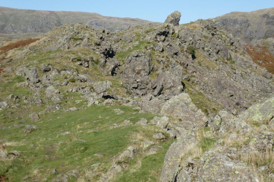
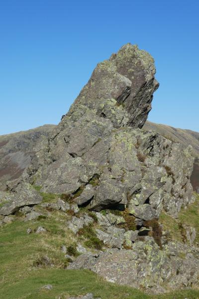
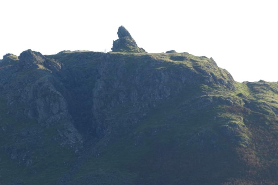
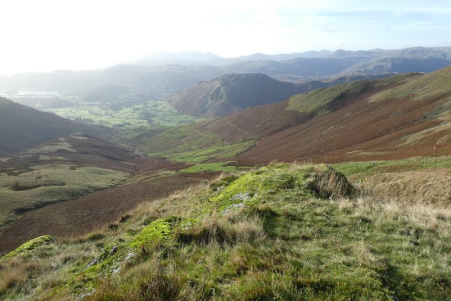
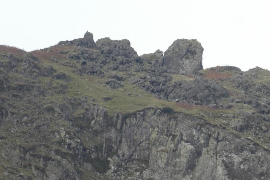
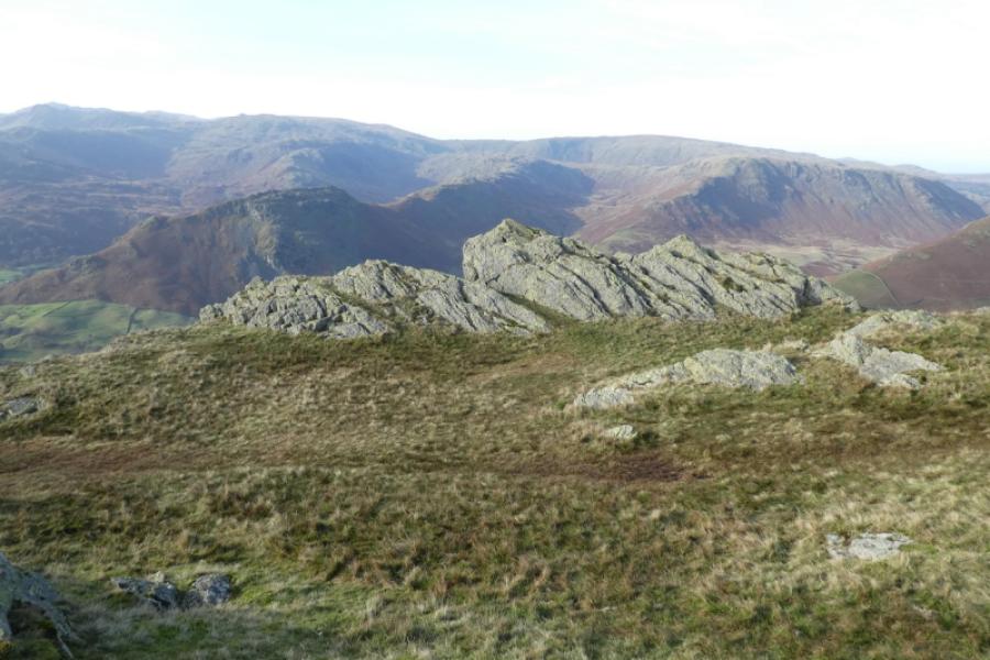
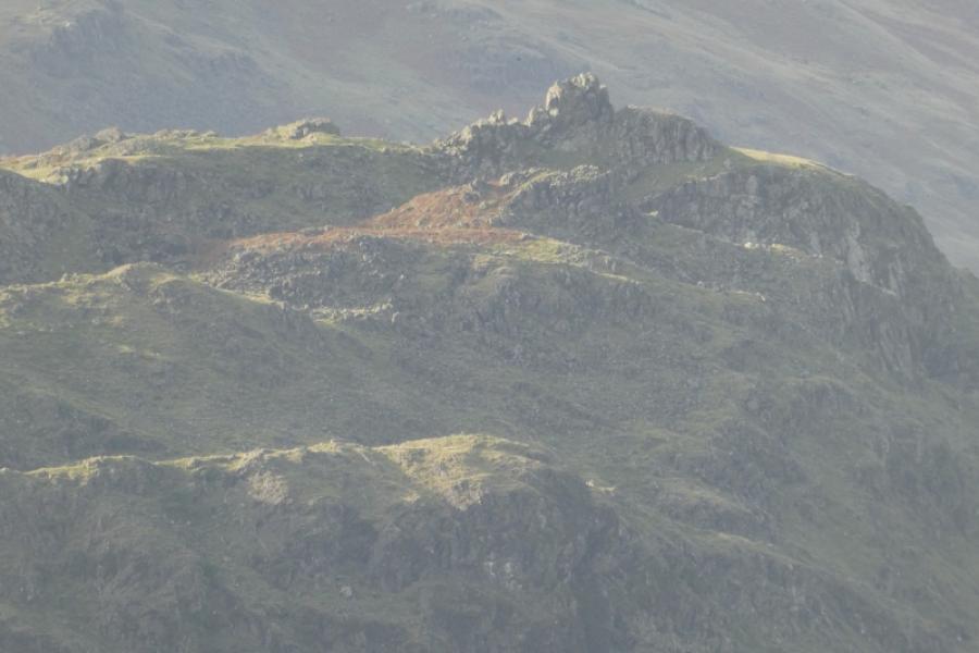
This is a fine ridge walk although there are some boggy sections. Helm Crag is one of the most famous landmarks in the Lake District; it is also known as “The Lion and the Lamb” and “The Man Playing the Organ” depending on where you are viewing it from. It's summit is a rocky outcrop which few climb. Supposedly, Wainwright himself did not climb it himself. It is a short and easy climb for a rock climber but not for the average walker. If you wish to attempt, only do so in dry conditions when the rock is not slippery. Helm Crag is the first top on a ridge which goes on to Gibson Knott and Calf Crag but they see only a fraction of those who go up to Helm Crag. Steel Fell is an easy addition to give a circular round. Excellent views include to Helvellyn, Seat Sandal and Fairfield. Note that the start of the route is made as simple as possible but it is not the shortest.
Route
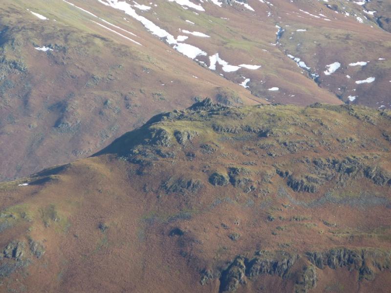
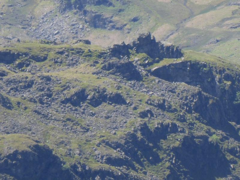
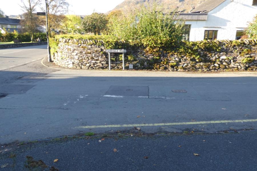
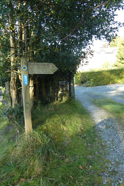
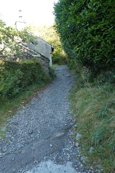
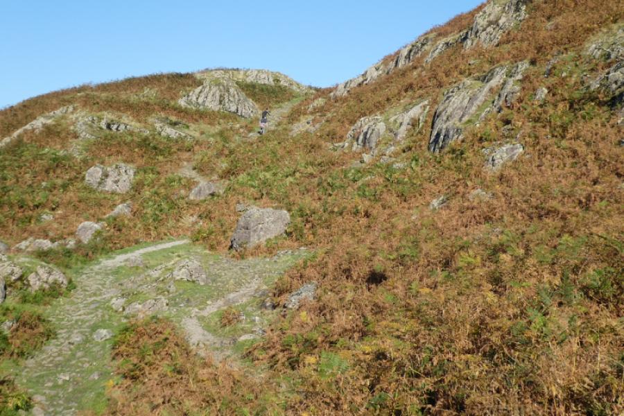
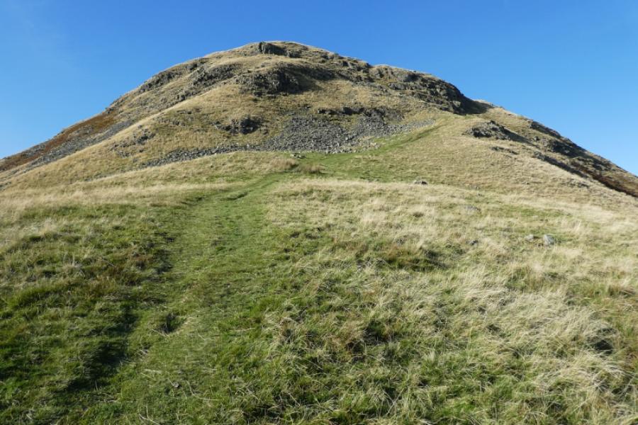
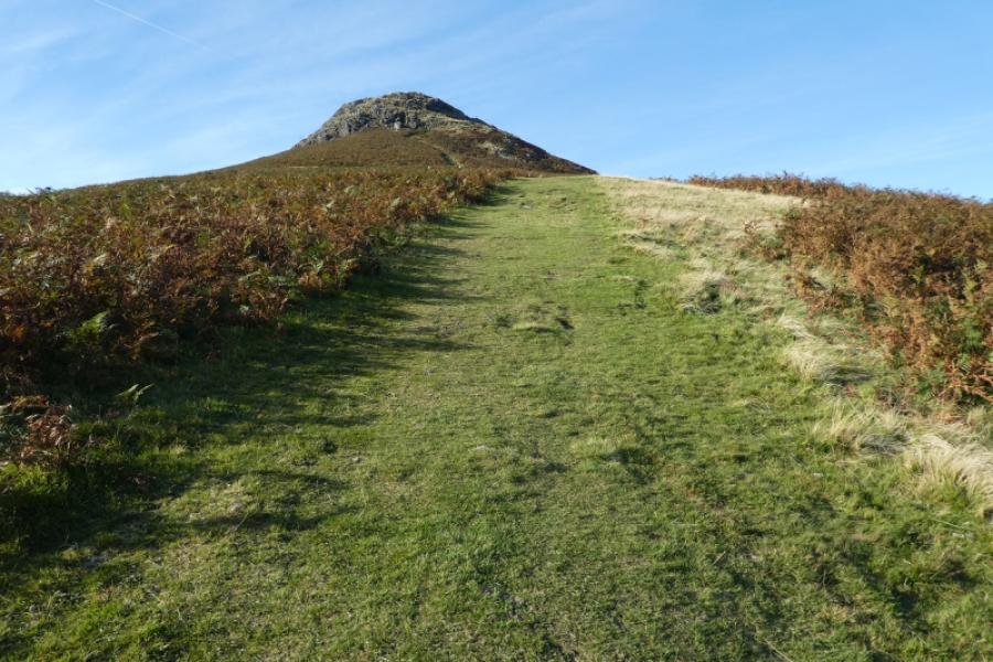
(1) Walk south to the first turning into Grasmere. Follow this to join the main road through the village until you reach Easedale Road. Follow this for some distance past Lancrigg (the nearest pay car park to Helm Crag). Eventually the road bends around to the left so stay with it until the road forks left and a path goes off right, signed for Helm Crag. The path is a very rough track at first. Follow it up to a T junction then go right alongside a wall. From here, the path to the summit is very obvious. The summit is a steep angled rock outcrop which is Helm Crag, 405 m. Most who climb to the very top go up the broken slabs in the middle. There is a path which takes you part of the way.
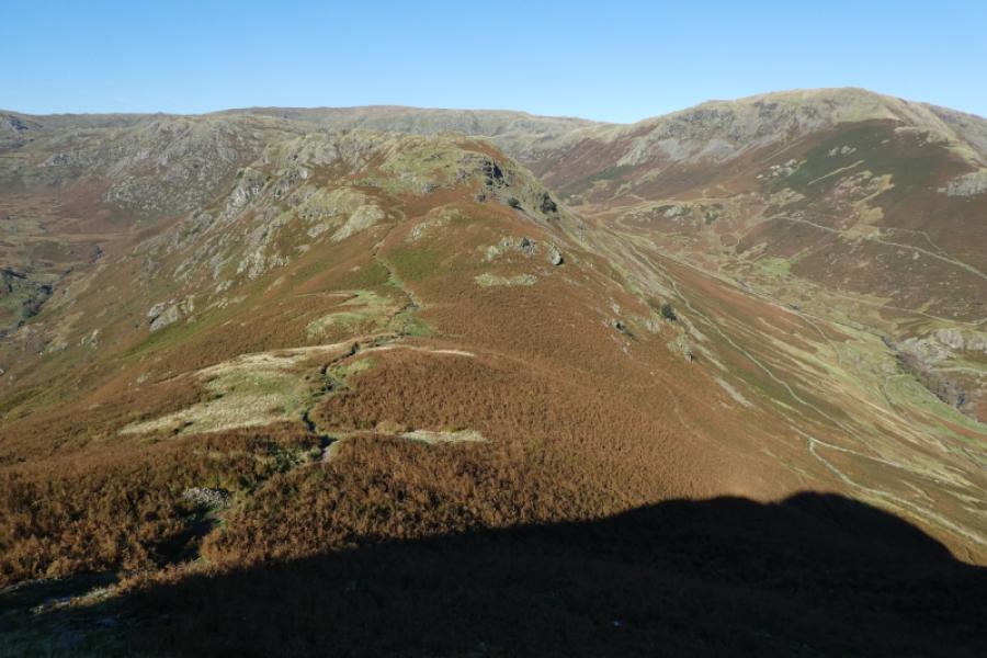
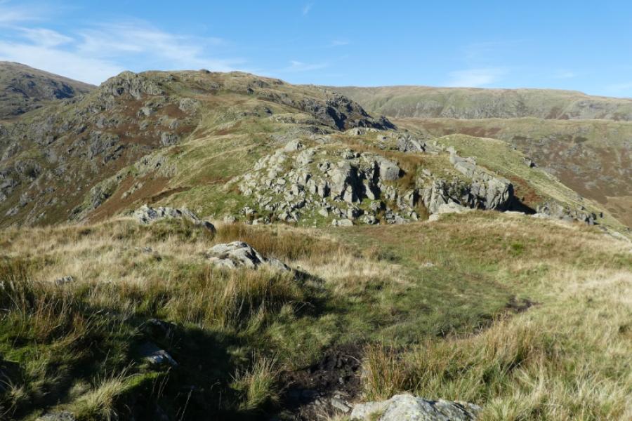
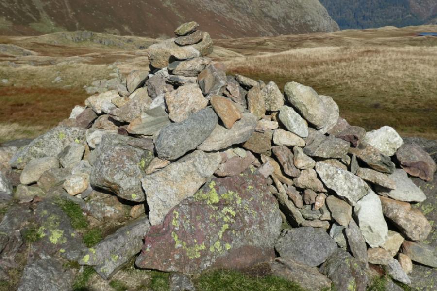
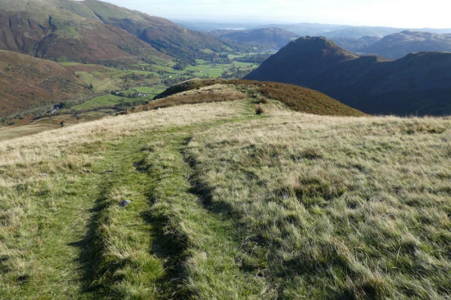
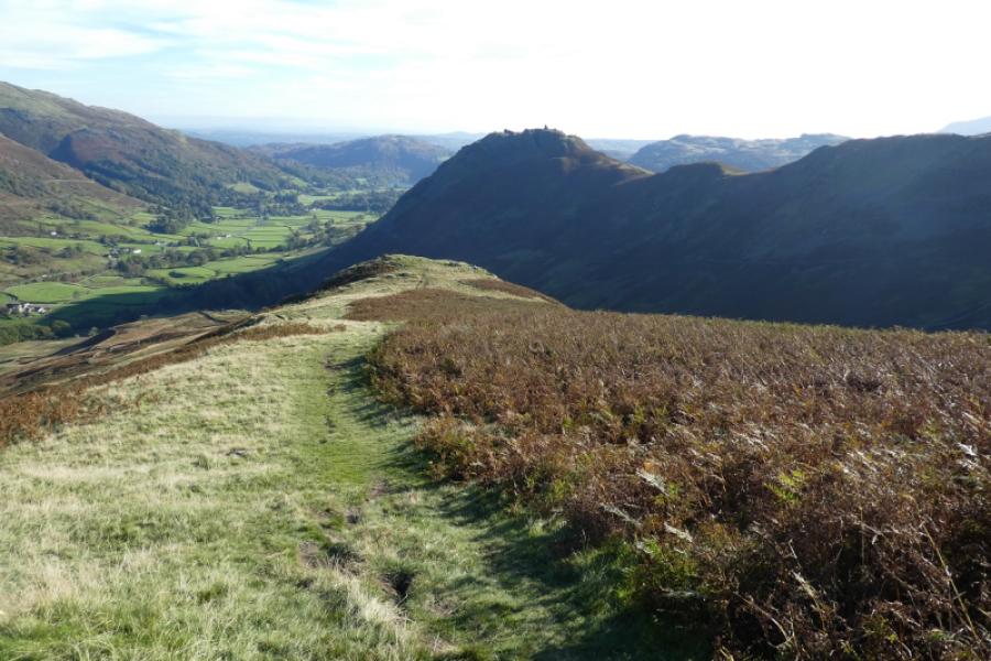
(2) Descend along the crest on a good path and follow it down to a col then up to reach a medium cairn which is the summit of Gibson Knott, 420 m.
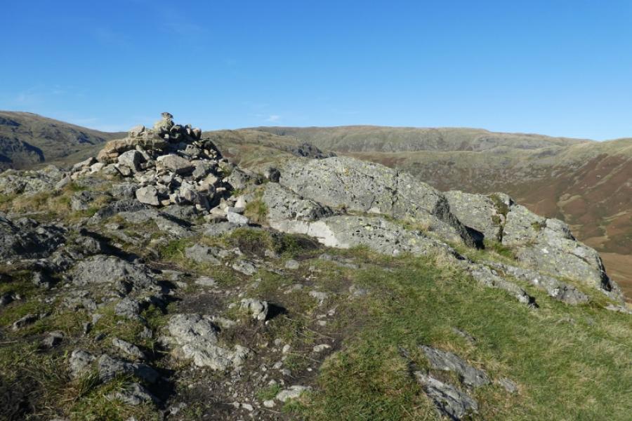
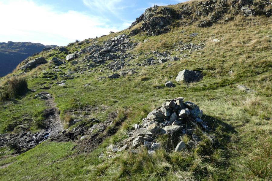
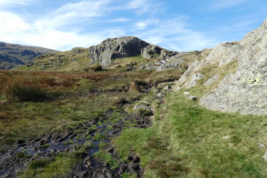
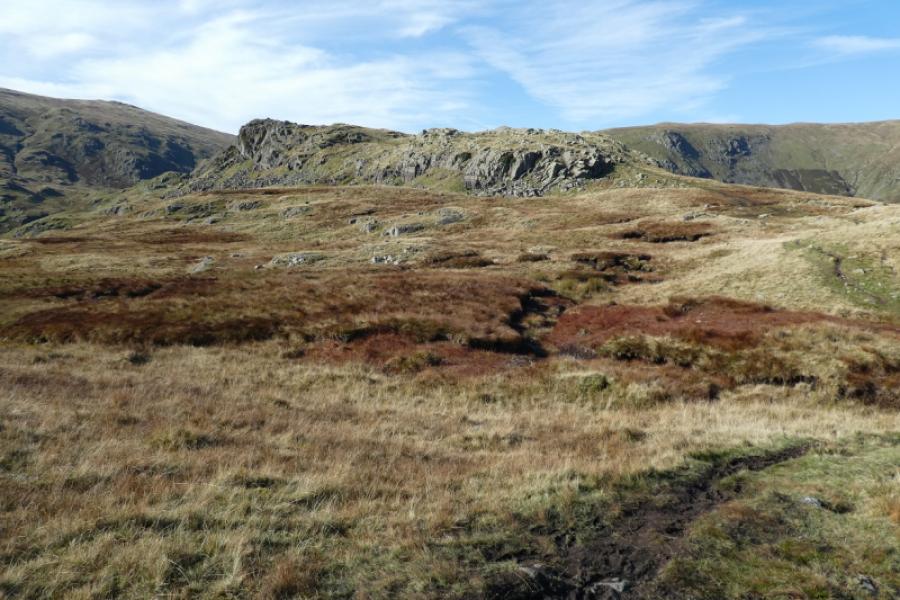
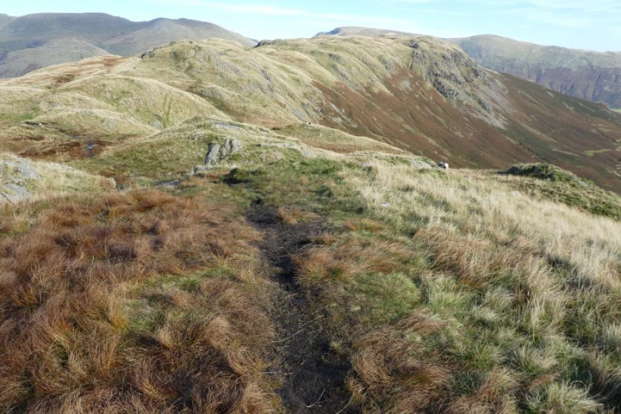
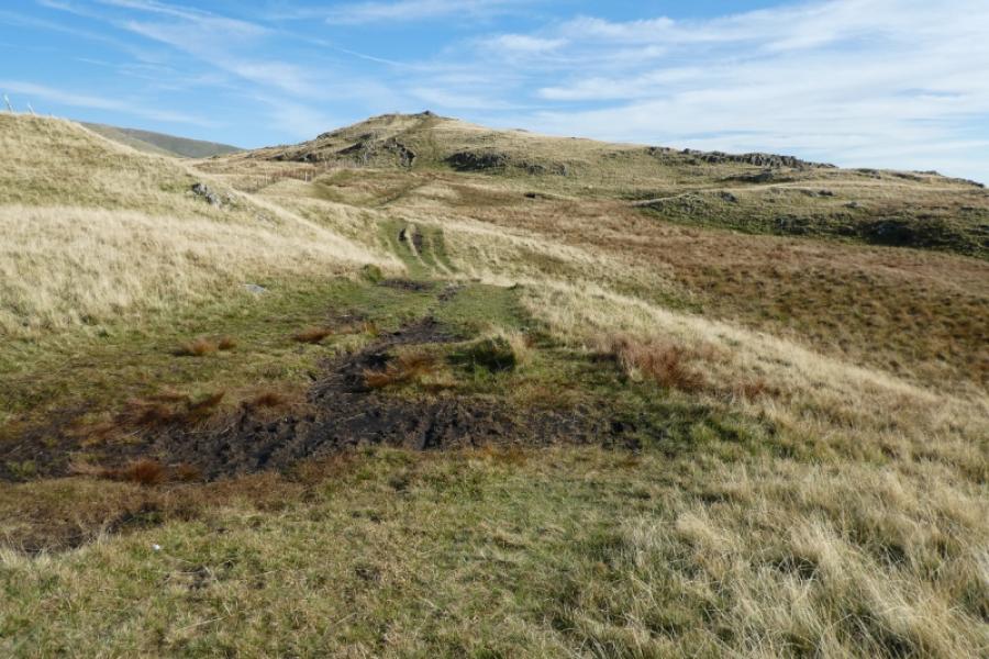
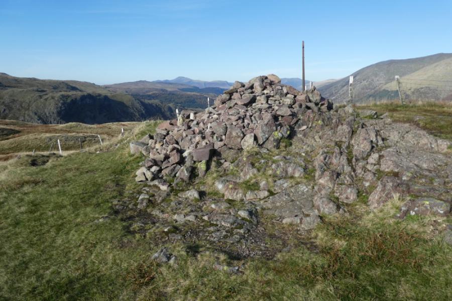
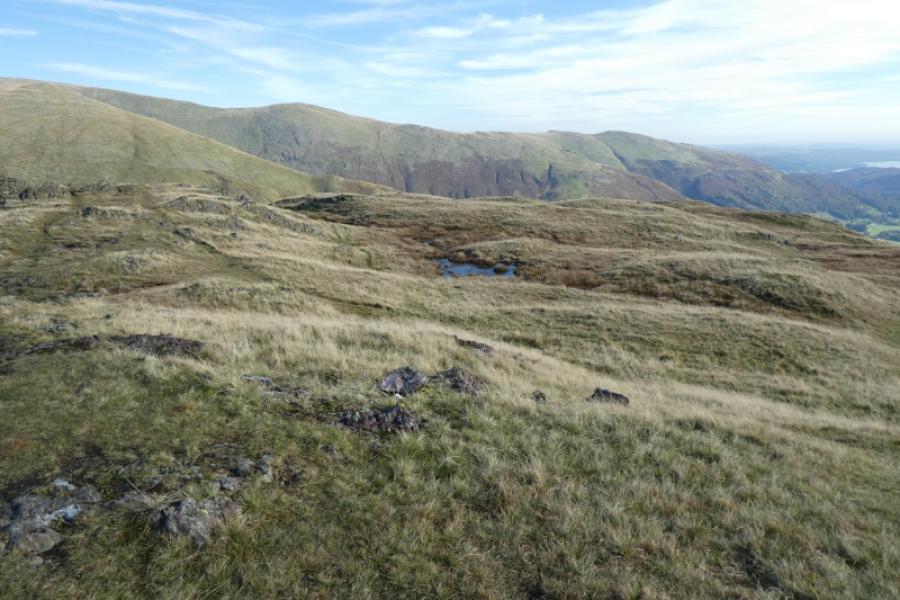
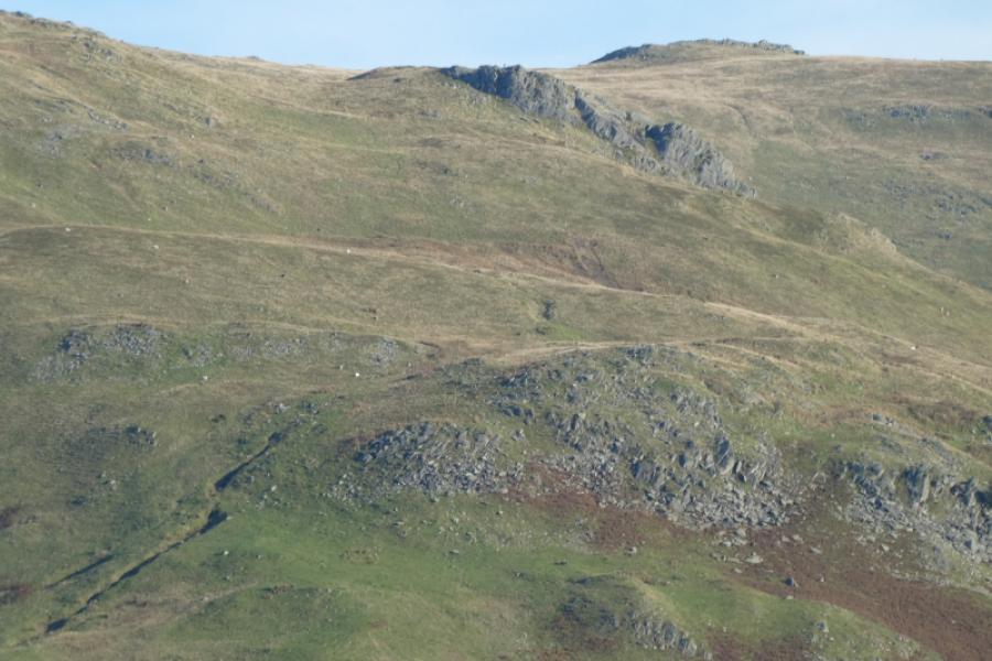
(3) Continue along the crest descending to another col then a long ascent, often over boggy ground, eventaully leads to a medium cairn which is the summit of Calf Crag, 537 m.
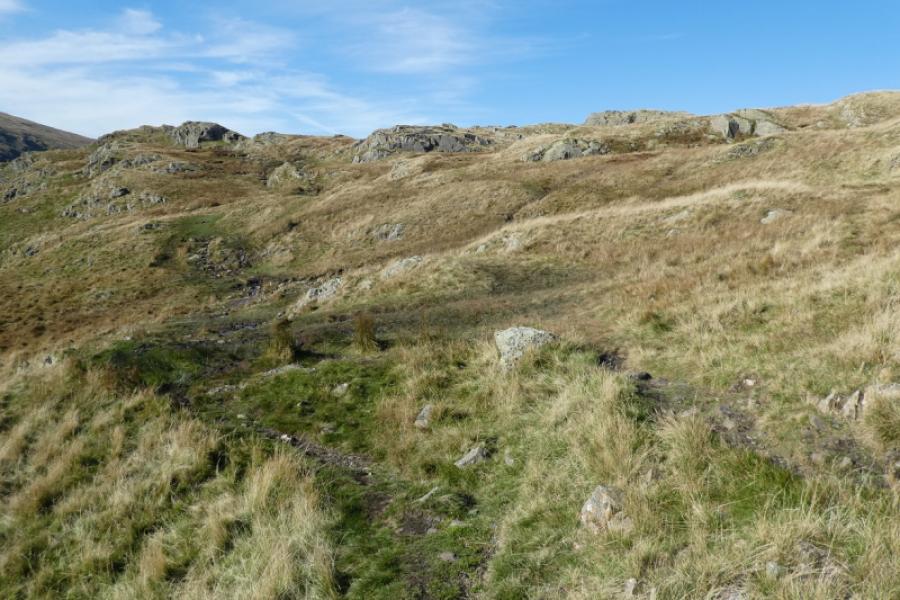
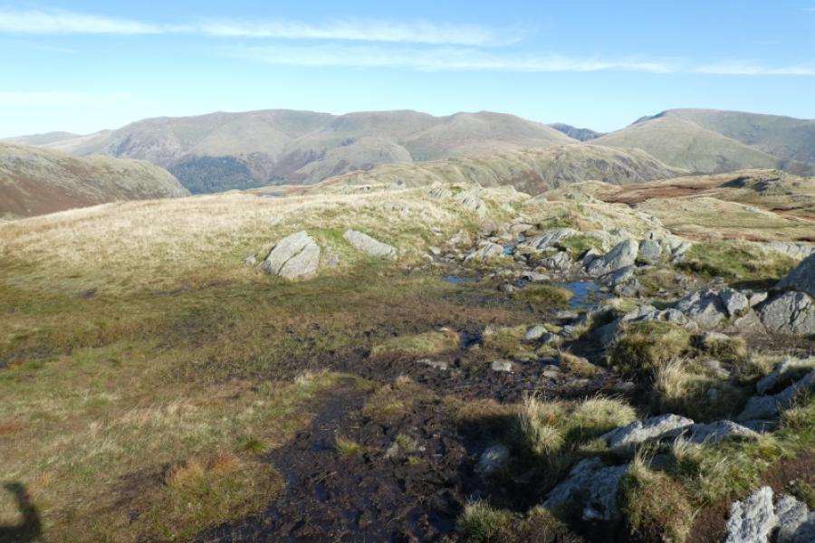
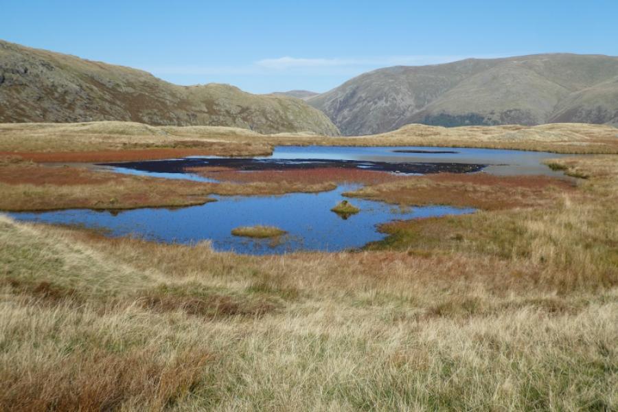
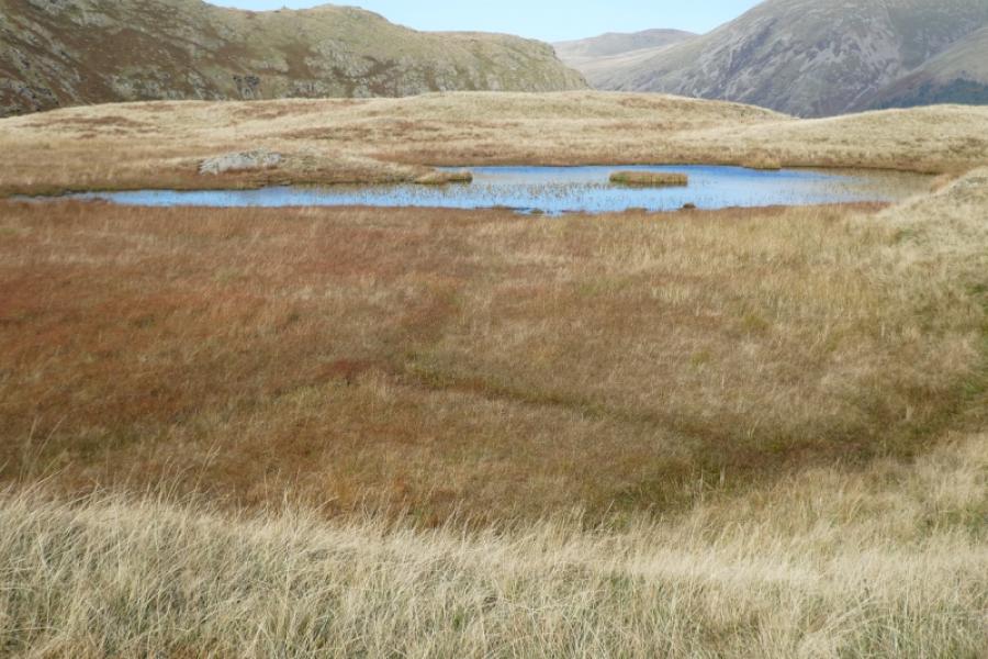
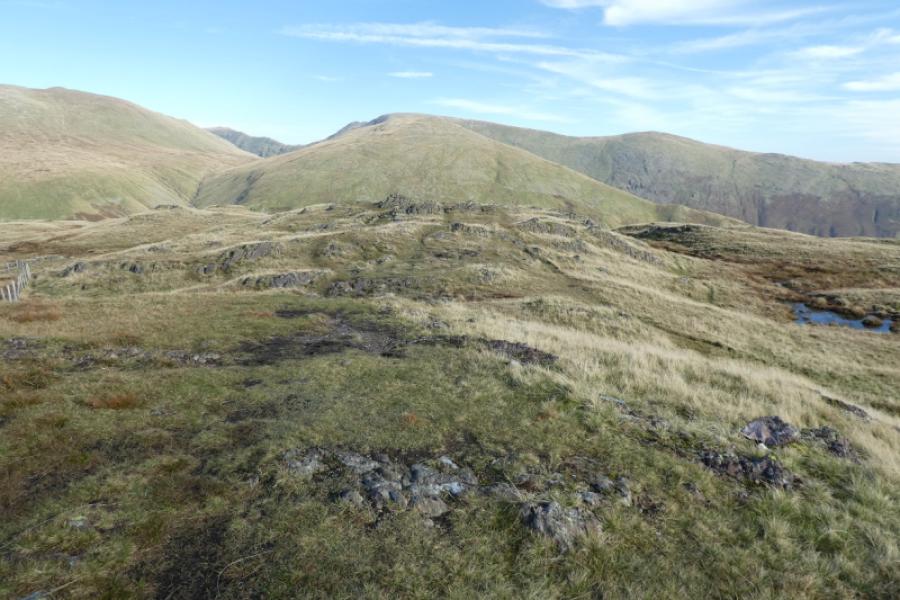
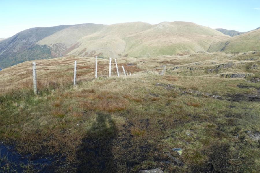
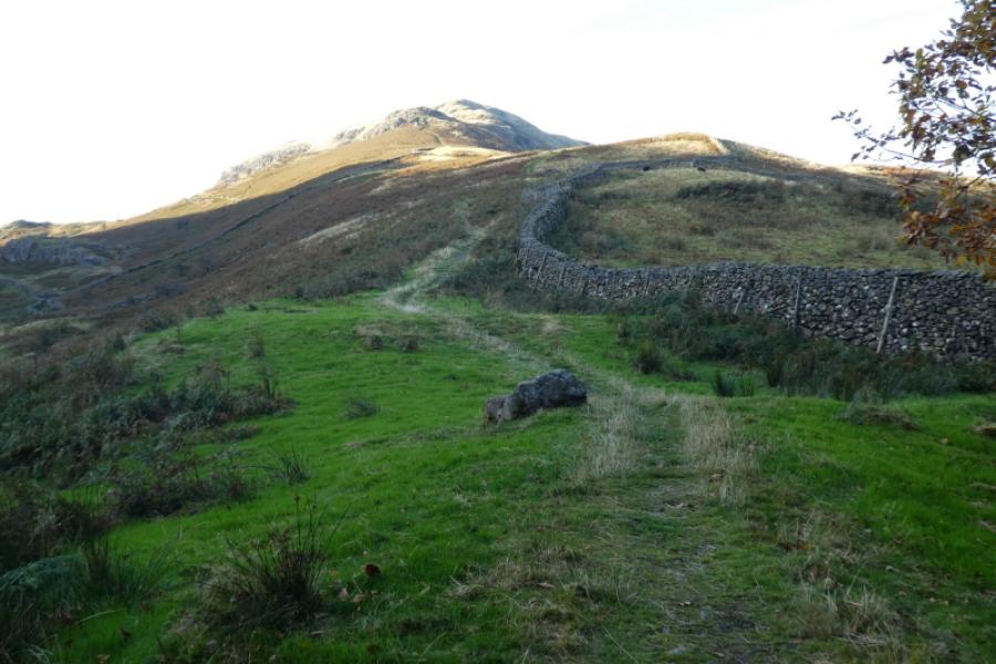
(4) Look for a grasy path descending north to north east and follow it. It is wet and boggy in places but easy to follow as it heads towards the foot of the ridge leading up Steel Fell. Two attractive tarns are passed at the foot and another a little higher up. Follow the path up the ridge, avoiding a few boggy sections. A fence will be over to your left and the summit will be in sight for much of the way. Eventually reach a medium cairn which is the summit of Steel Fell, 553 m.
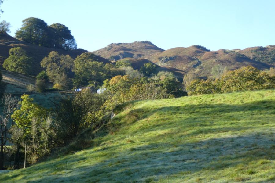
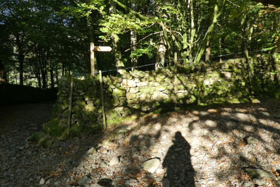
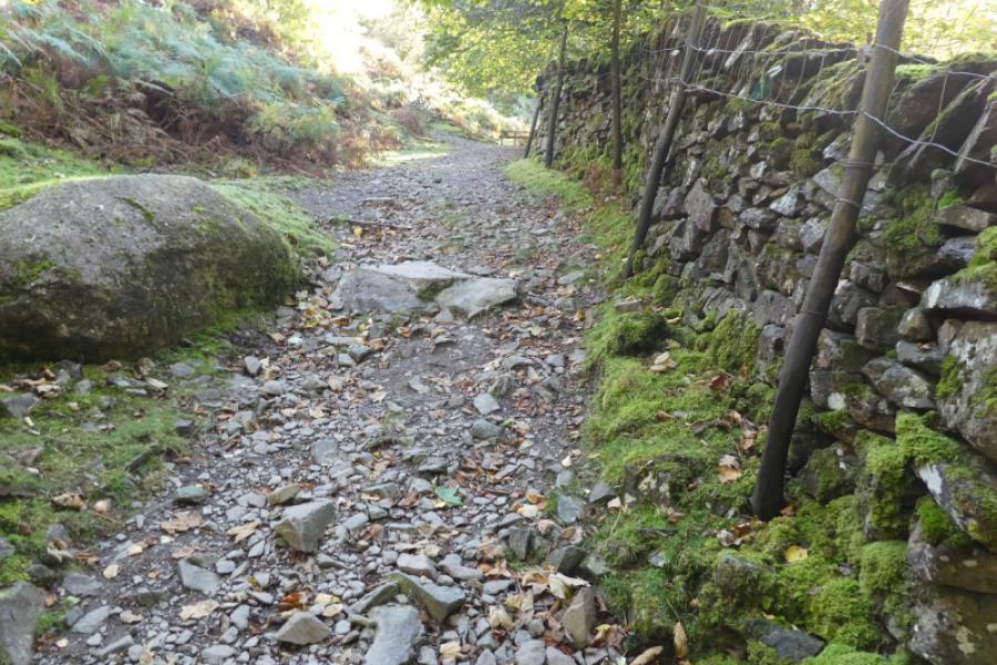
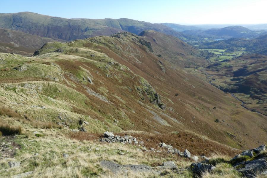
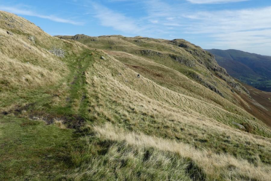
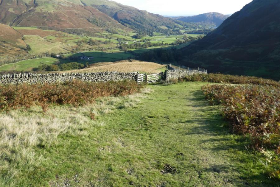
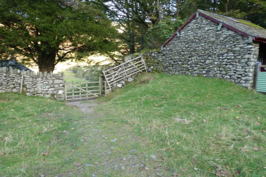
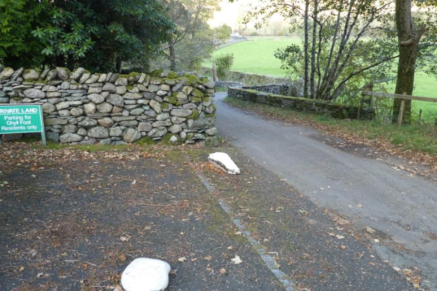
(5) Head south west over easy ground before the south east ridge steepens. It is rocky in places but there should be no difficulties and there are pleasant grassy interludes. It is a long ridge but fairly pleasant to descend and the path is very obvious all of the way. Eventually, reach an outbuilding where a gate on the left takes one onto a minor road. This road twists and turns but eventually meets a road at its foot where there are reserved parking spaces for local residents. Turn right onto the road and follow it to the next turning on the left which leads to the A591.
Notes
(a) This walk took place on 14th October, 2024.
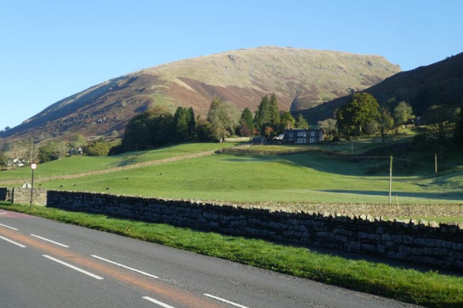
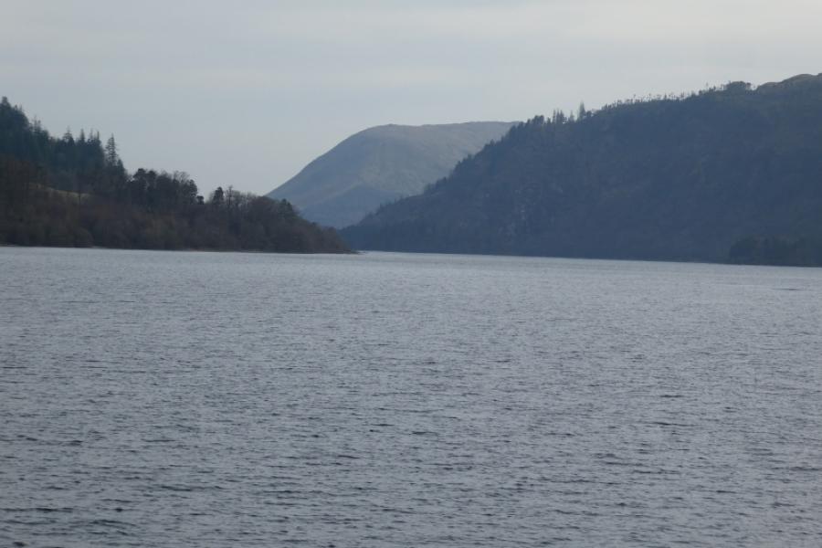
Photos - Hover over photo for caption. Click on to enlarge. Click on again to reduce.