Get Lost Mountaineering
You are here: England » Lake District » 3 Central Fells
Silver How, Blea Rigg, Sergeant Man & Tarn Crag from Grasmere Village
Silver How, Blea Rigg, Sergeant Man & Tarn Crag from Grasmere Village
Start/Finish
Any car park in Grasmere – all are expensive, £8.50 for a whole day in 2024.
Distance/Time
15 km About 7 – 8 hours
Peaks
Silver How, 394 m, NY 325 066.
Blea Rigg, 541 m, NY 301 078.
Sergeant Man, 730 m, NY 286 089.
Tarn Crag, 550 m, NY 303 093.
OS 1: 50 000 , Sheet 90: Penrith & Keswick
OS 1: 25 000 Outdoor Leisure 6, English Lake District SW Area.
OS 1: 25 000 Outdoor Leisure 7, English Lake District SE Area.
Introduction
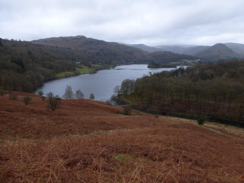
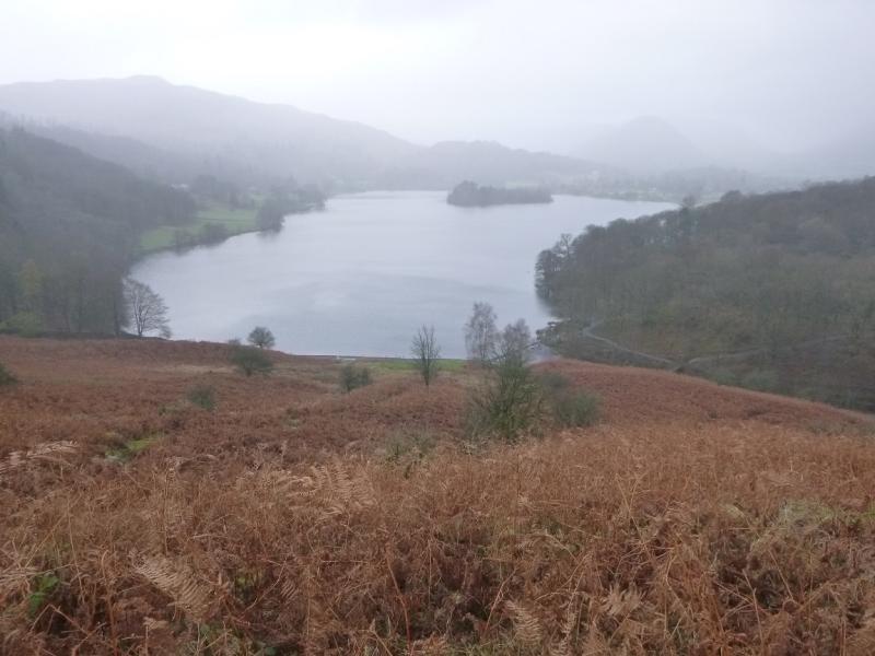
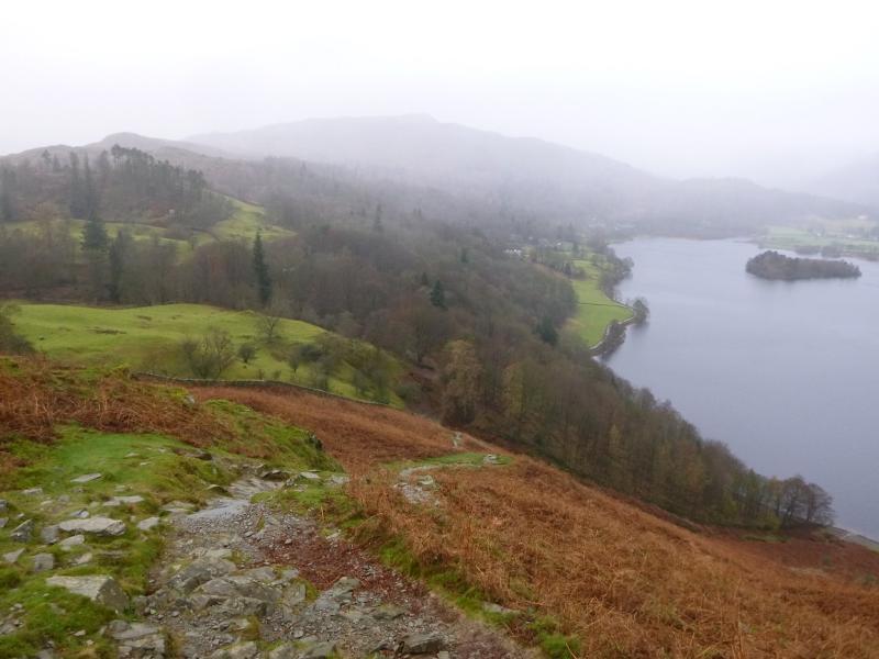
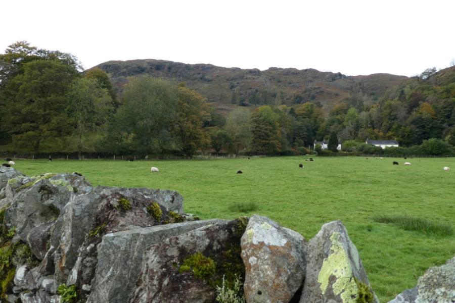
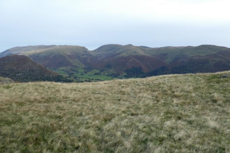
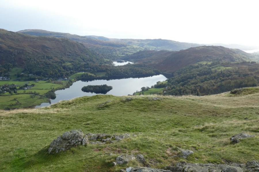
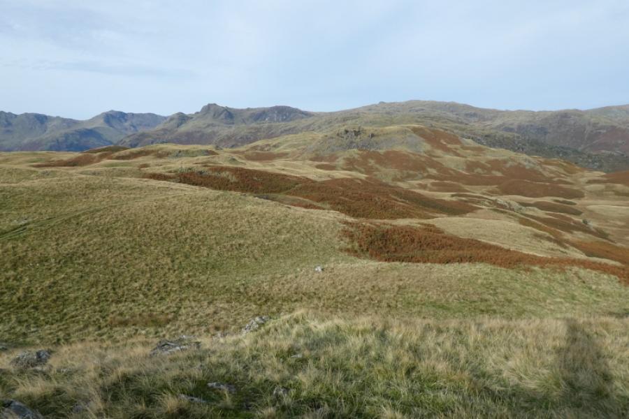
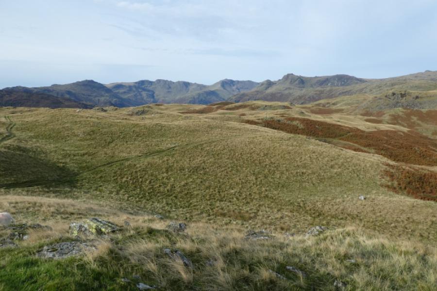
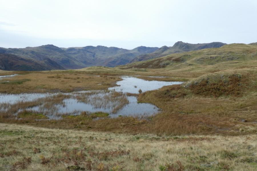
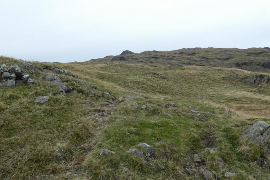
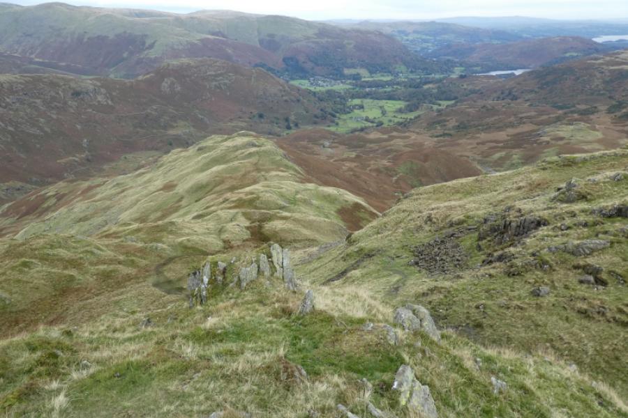
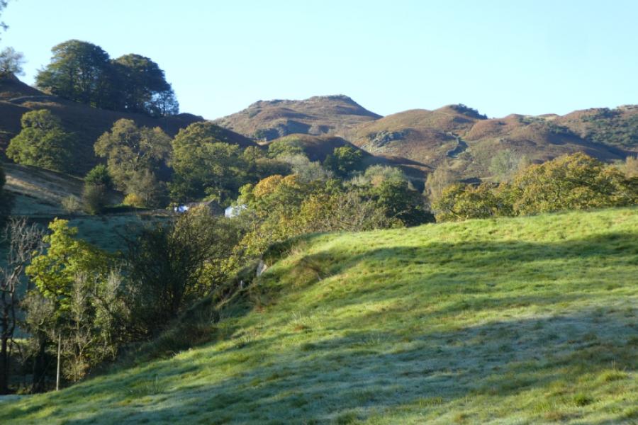
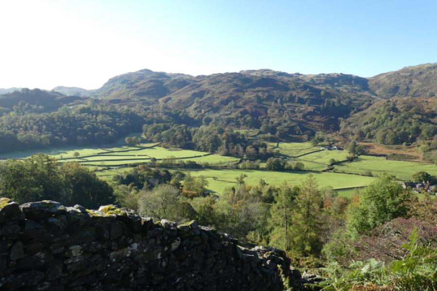
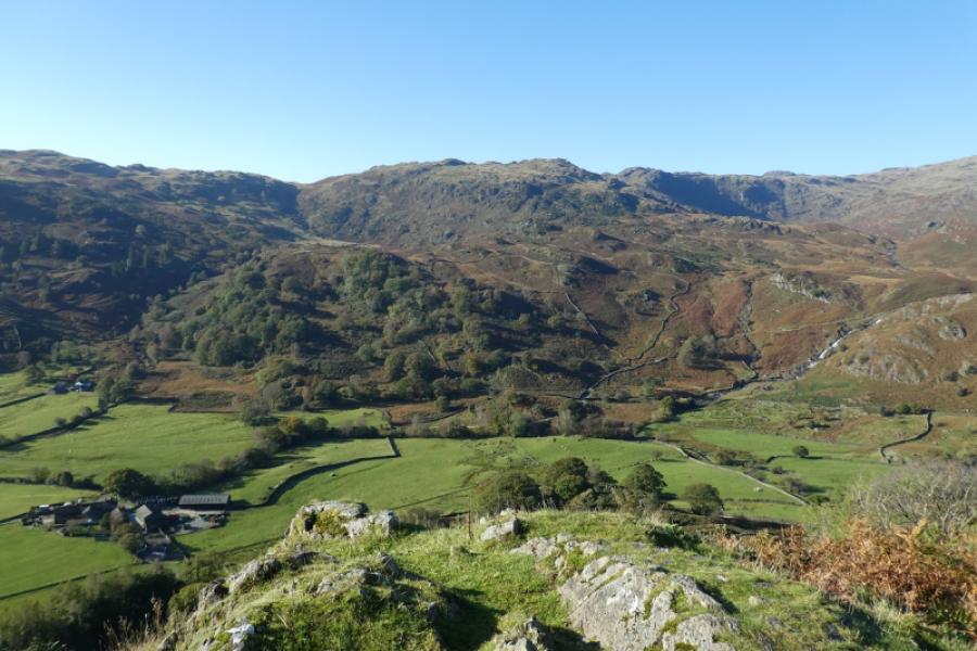
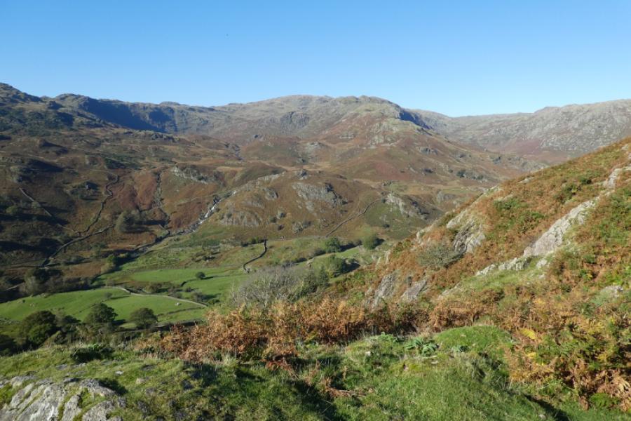
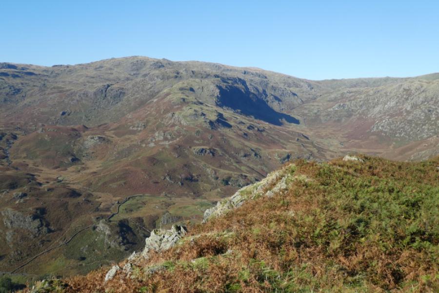
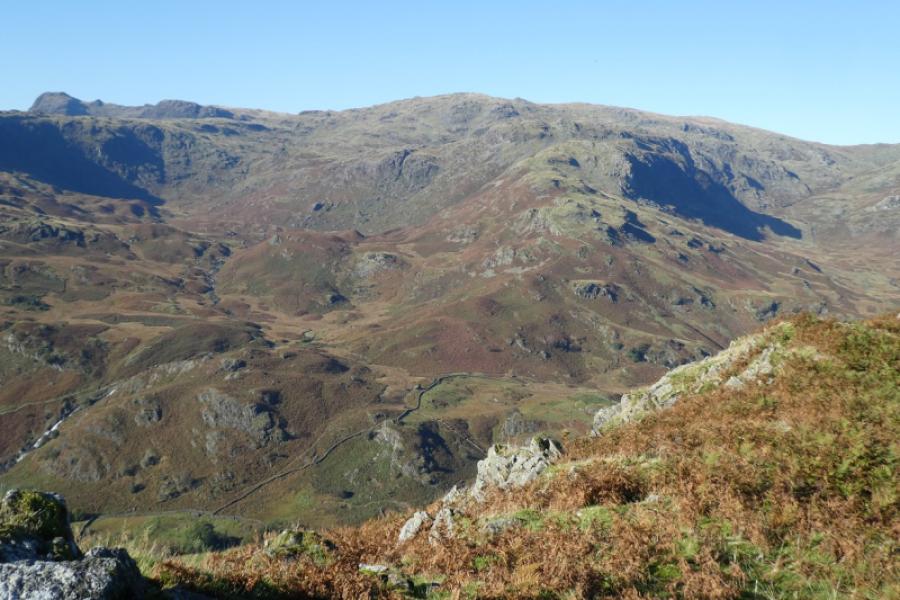
This is a strenuous walk often on indistinct terrain where there are many, many paths to confuse with many not on the map. Many will rely on GPS even in clear conditions. This is not a walk for misty conditions. Tarn Crag isn't really a summit and it seems odd that Wainwright included it in his guides. . Some of the terrain, especially the descent from Tarn Crag is wet and boggy. The views are excellent and include to Fairfield, to the Langdale Pikes, Bow Fell and Crinkle Crags and to Coniston Old Man and Wetherlam.
Route
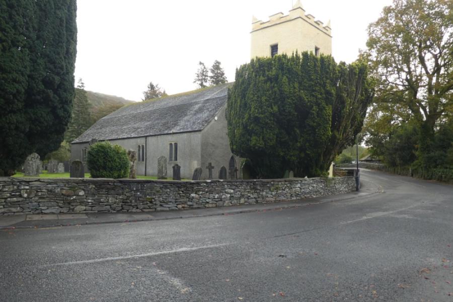
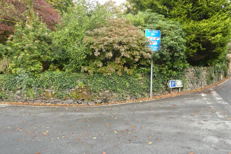
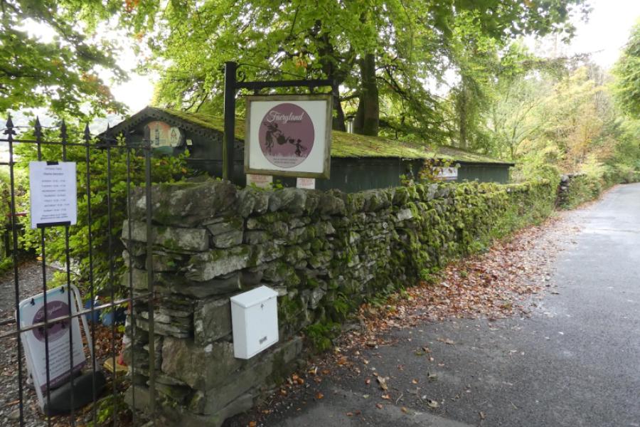
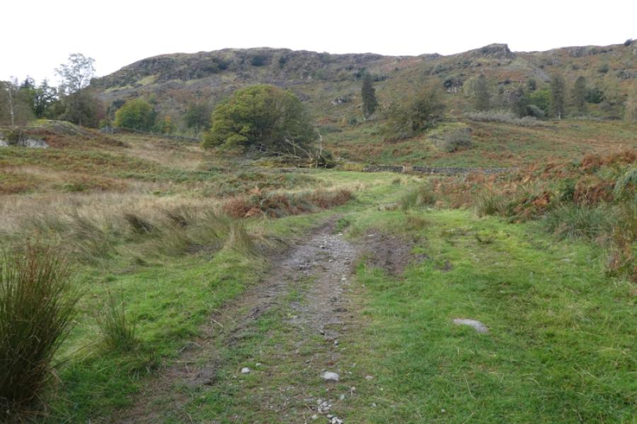
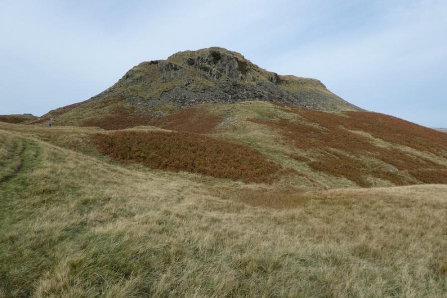
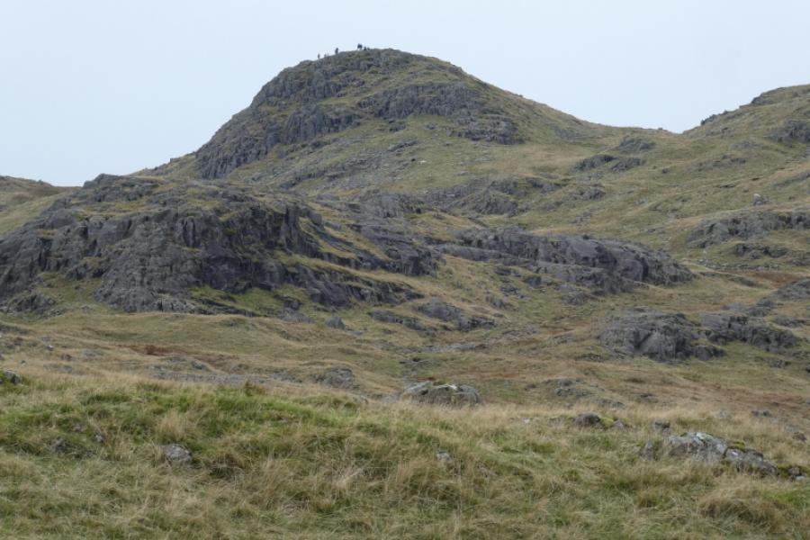
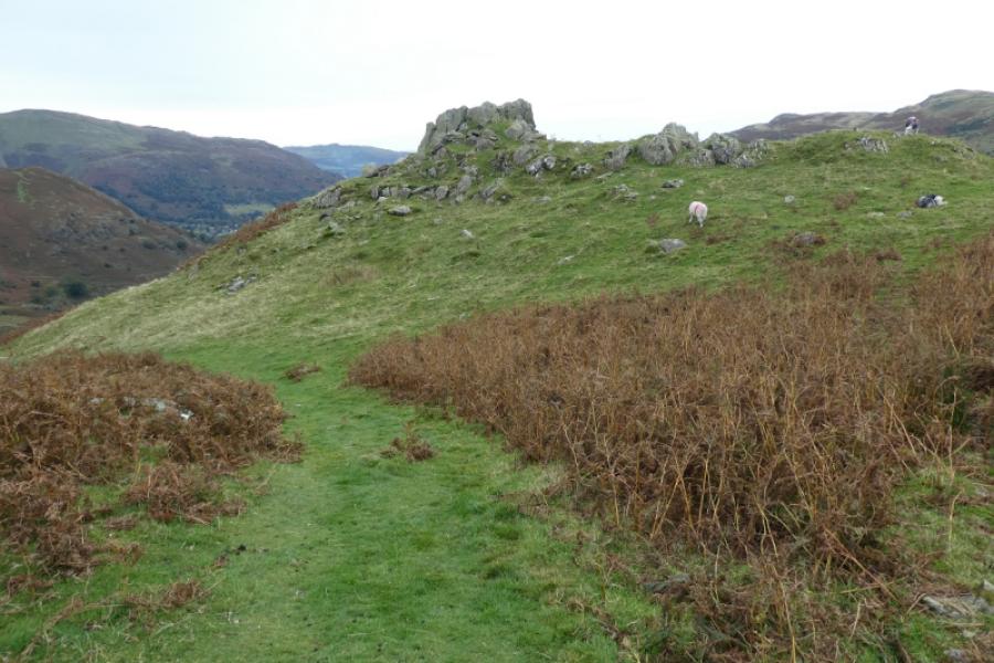
(1) Walk to St. Oswald's Church in Grasmere village then take the road roughly opposite towards Red Bank car park. Follow this road until you reach the Fairyland building on the left. The path to Chapel Stile starts opposite this. Follow the path up until a distinct path goes right up towards a gap on Slieve How. Follow this up, passing a large cairn, and then curving round to where there is a small cairn marking the summit of Silver How, 394 m.
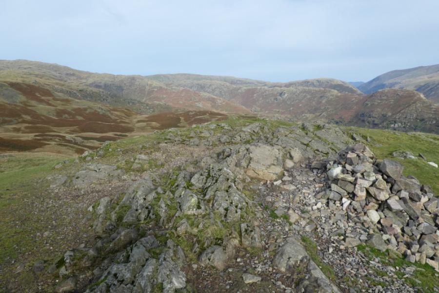
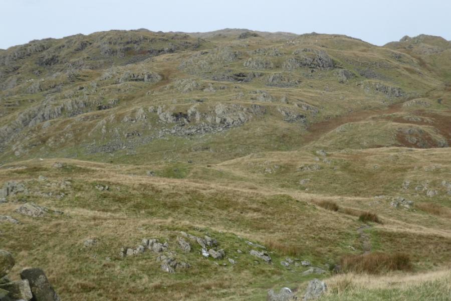
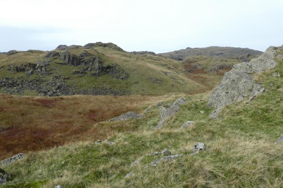
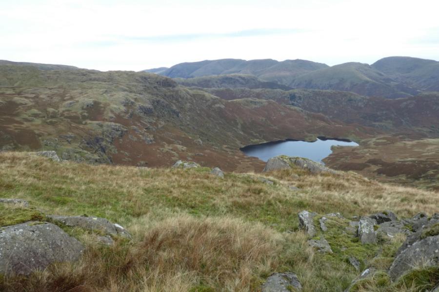
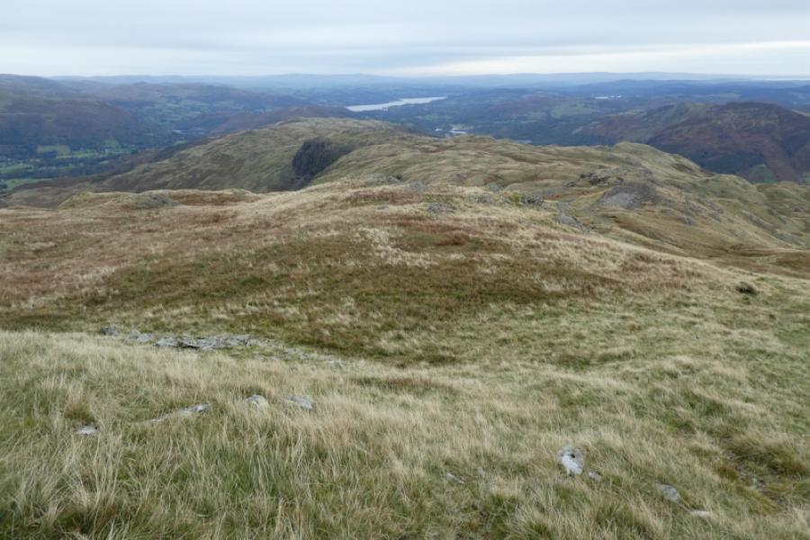
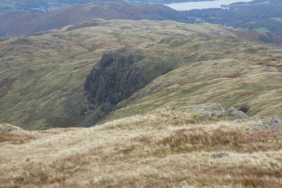
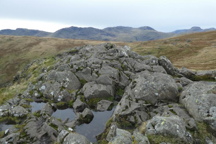
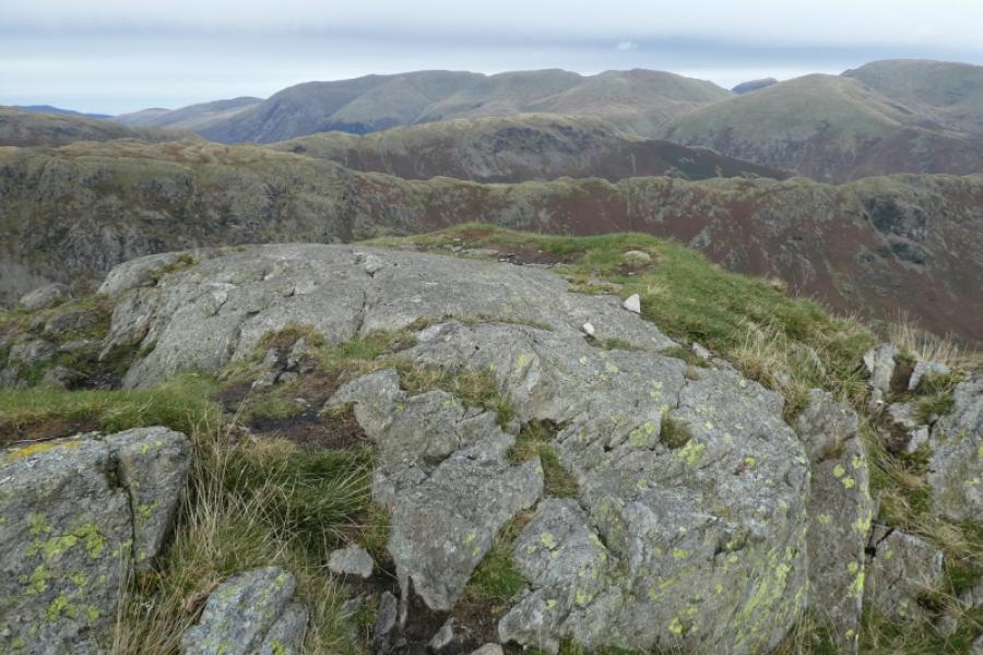
(2) Navigation is not easy from here but find a path heading roughly north west towards the prominent craggy top known as Lang How. Pass this (or ascend if you wish) on its left then continue. Further on, and slightly left is the cairned top of Raw Pike. Continue on the main path. In clear weather, Sergeant Man will be the distant peak with the craggy ridge of Blea Rigg before it. There are lots of tops in this area. Pass Castle How, on your right, which is a prominent rock tower and head for the ridge ahead, There is cairned top and not far away is a top with no cairn. Both seem about the same height so visit both to be sure you have been to the summit of Blea Rigg, 541 m.
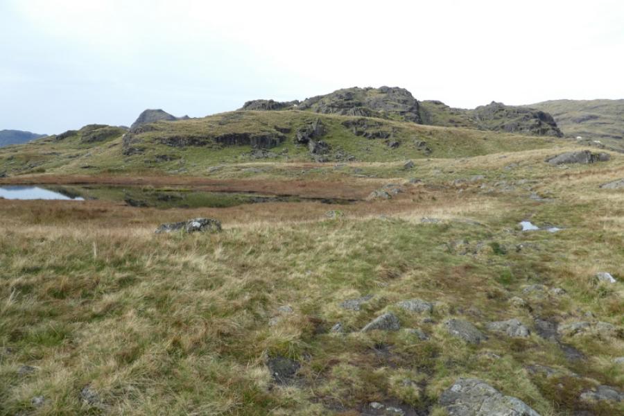
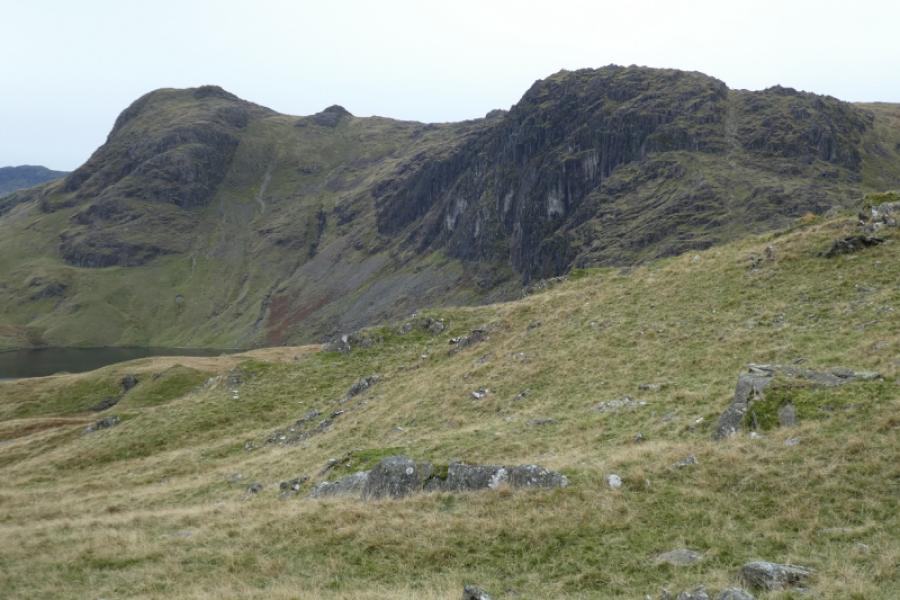
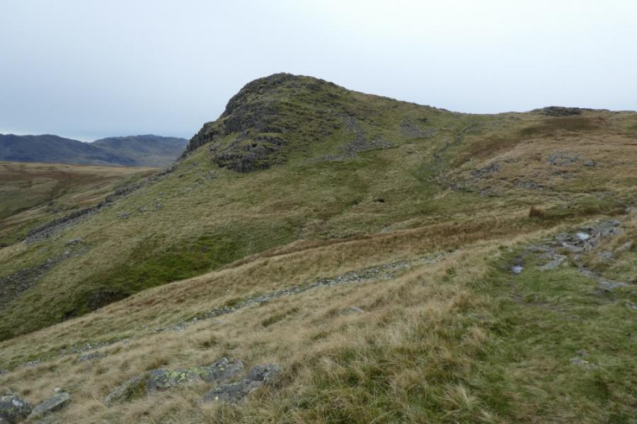
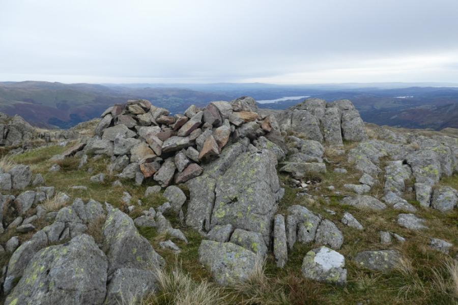
(3) In clear weather, Sergeant Man will be obvious ahead but it is further than it looks. Reach a top of craggy ground rocks which seems to be the summit of Sergeant Man, 730 m. There is another top close by which has a cairn but it seems to be slightly lower but go to the cairned top just in case.
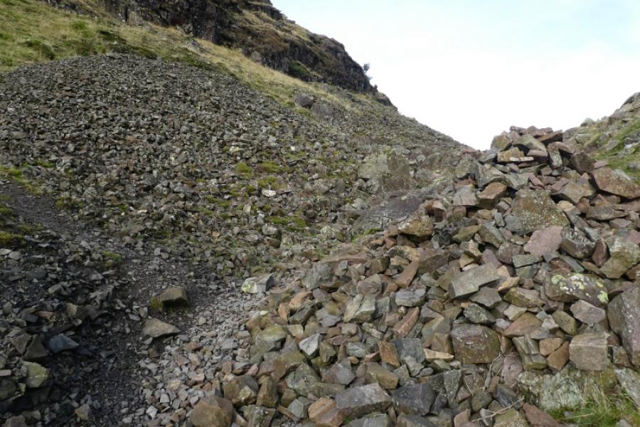
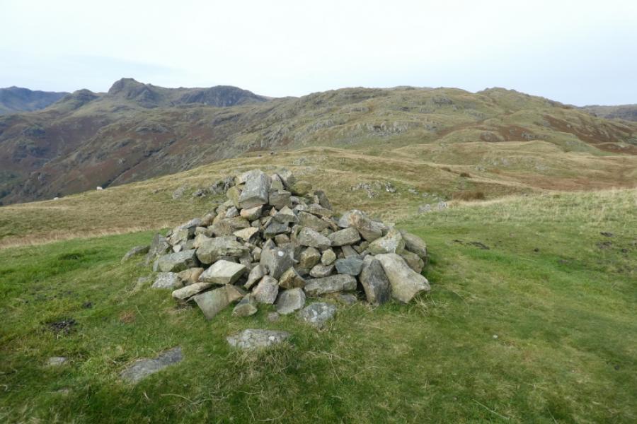
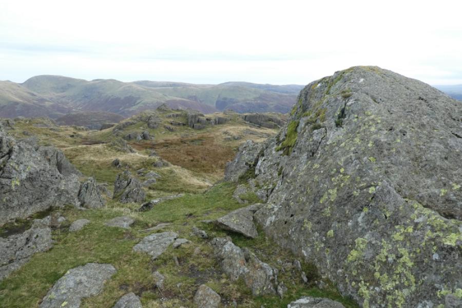
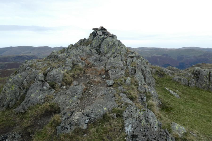
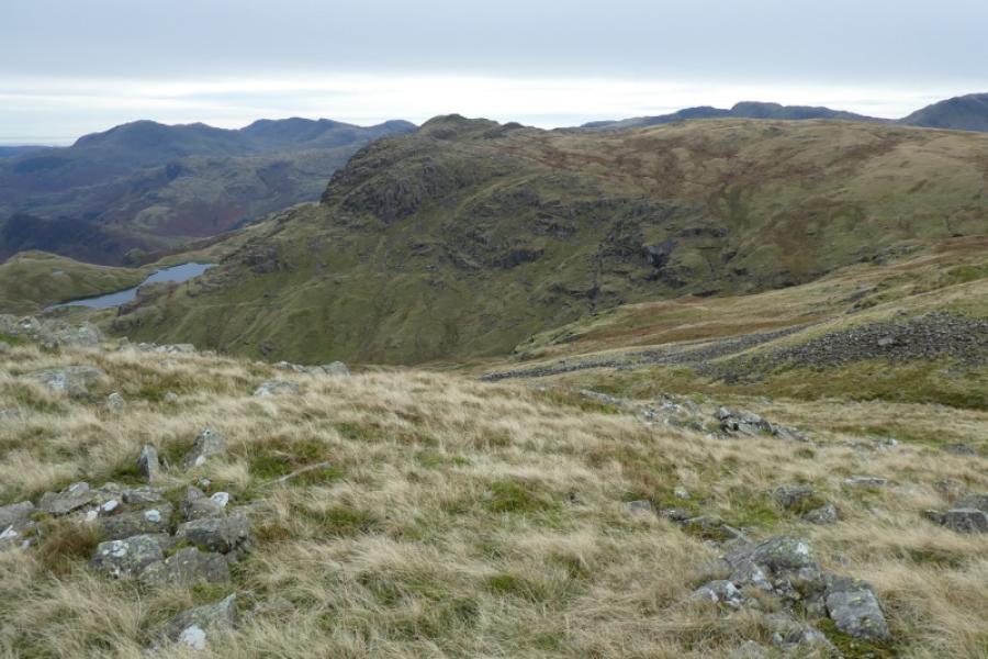
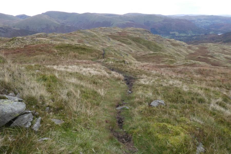
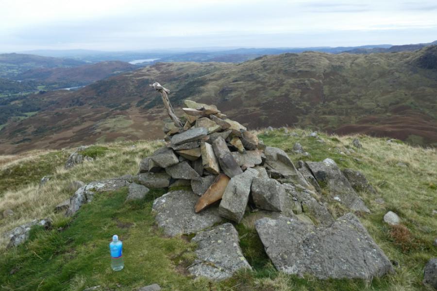
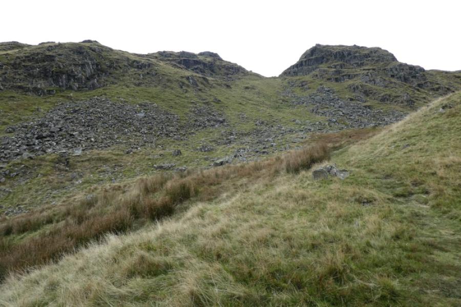
(4) Descend east on a faint path which soon takes you down the Tarn Crag ridge. There is a cairn at the top of the crag but it is clearly not the highest point which is across the gap where the path continues its descent. When you find it, there may be no cairn but it seems to be the “summit” of Tarn Crag, 550 m. There may be other bumps of similar height on what is clearly not a distinct and separate top.
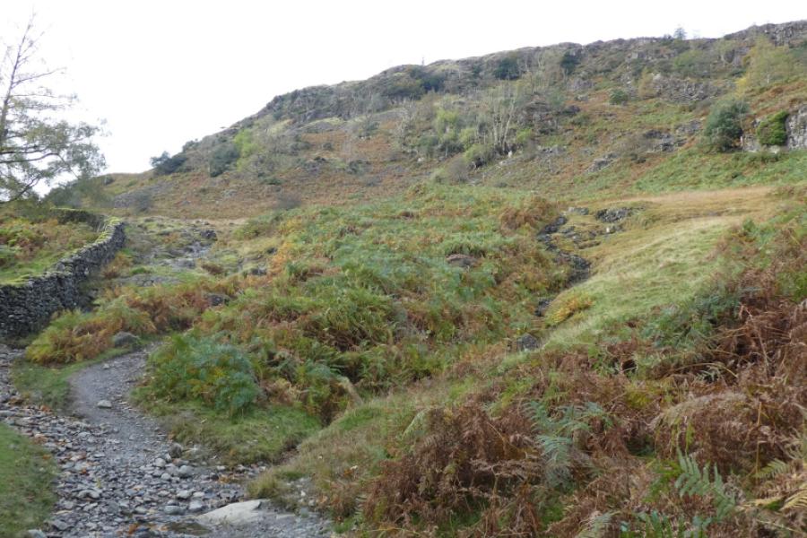
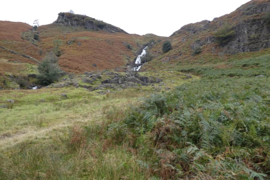
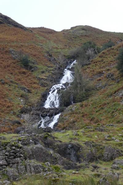
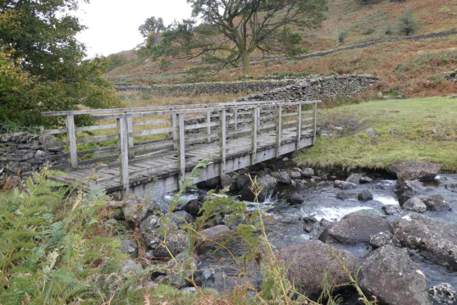
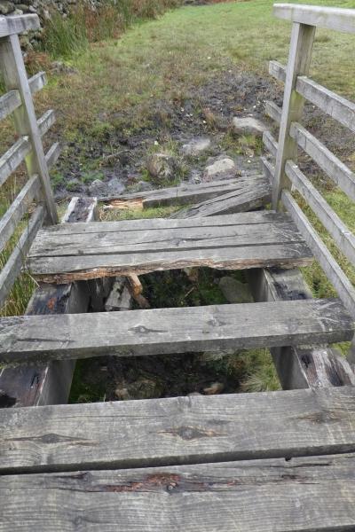
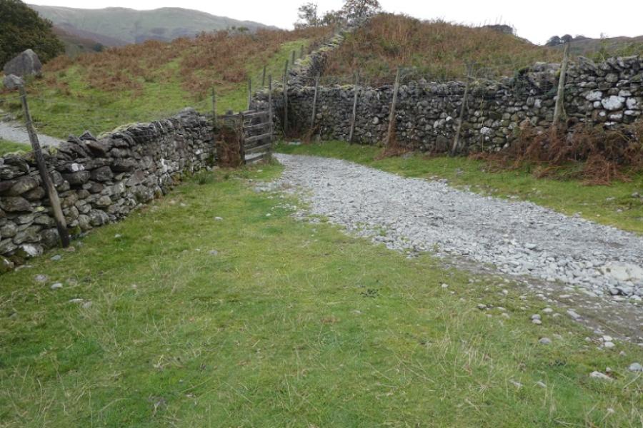
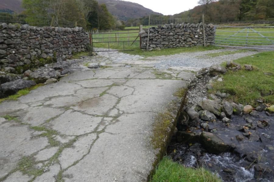
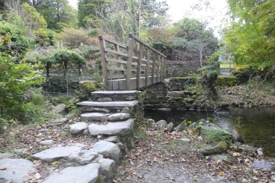
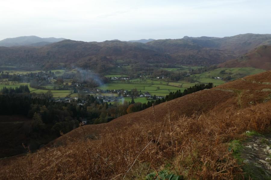
(5) Return to the path through the gap and follow it down the lower ridge until a flattish wet area is reached where the path goes left towards a wall. After here, the path is very obvious but also very boggy in places. Eventually reach a bridge over Sour Milk Gill, the outflow from Easedale Tarn, and cross over although be careful as the bridge is rotting away. Reach the main path from Easedale Tarn and follow it down to reach the bridge at Lancrigg. Cross over and follow the road, right, then path to reach the centre of Grasmere.
Notes
(a) This walk took place on 13th October, 2024.
Photos - Hover over photo for caption. Click on to enlarge. Click on again to reduce.