Get Lost Mountaineering
You are here: England » Lake District » 1 Eastern Fells
Stone Arthur from A591 to south of Travellers Rest at Grasmere
Stone Arthur from A591 to south of Travellers Rest at Grasmere
Start/Finish
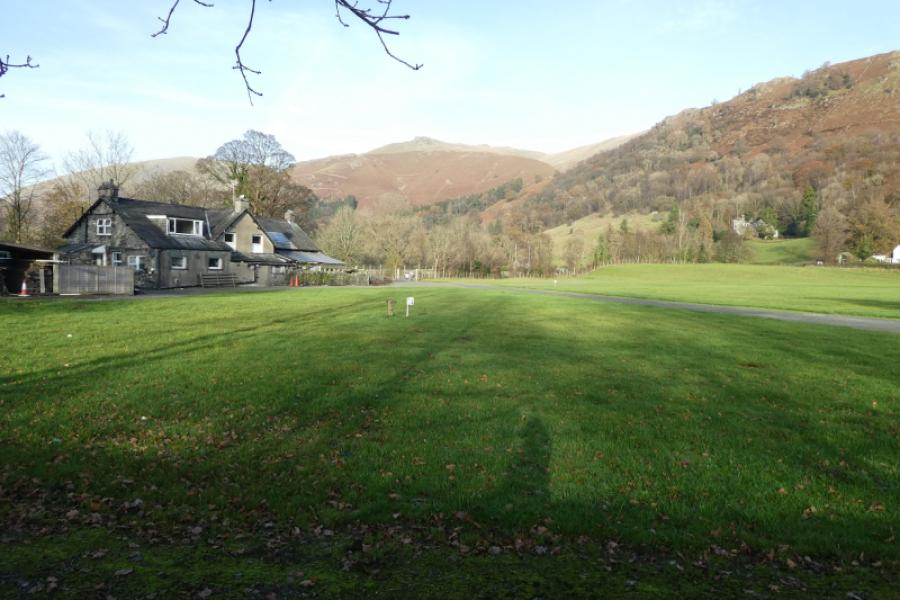
Layby on A591 (northbound) a few hundred metres north of the last houses in Grasmere and a similar distance south of the Travellers Rest inn. If full, there are other laybys on the opposite side of the road further north.
Distance/Time
6 km About 3 – 4 hours
Peaks
Stone Arthur, 500 m, NY 348 092.
OS 1: 50 000 , Sheet 90: Penrith & Keswick
OS 1: 25 000 Outdoor Leisure 7, English Lake District SE Area.
Introduction
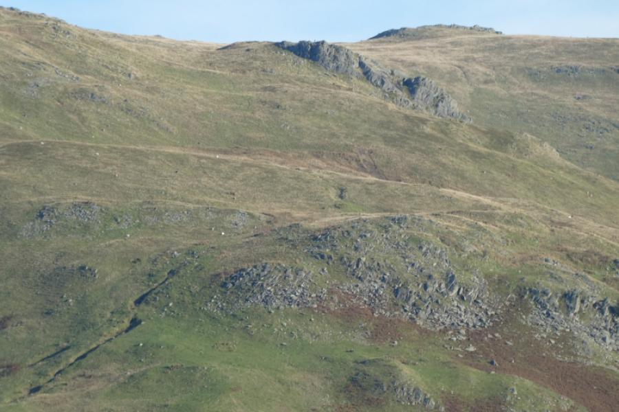
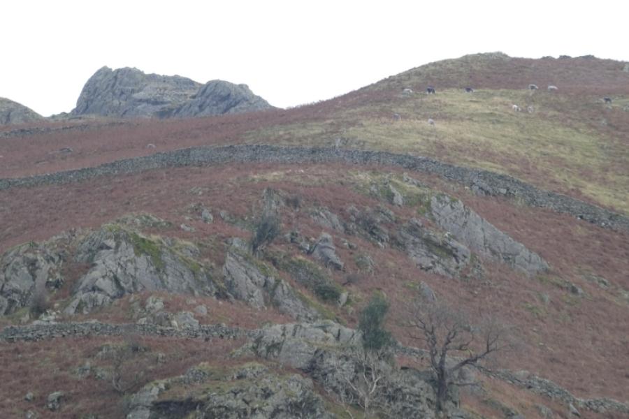
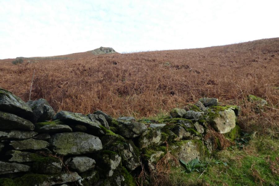
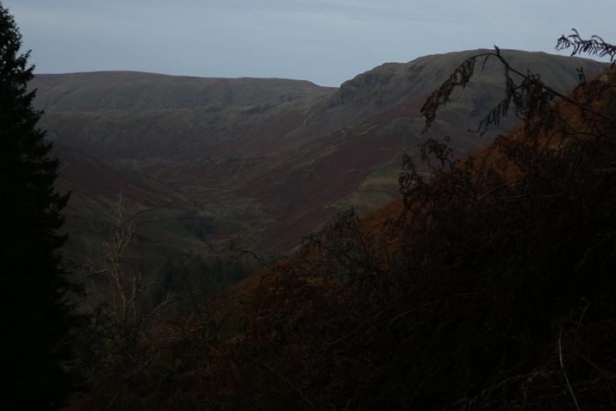
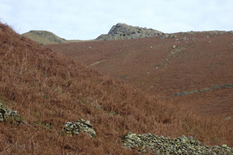
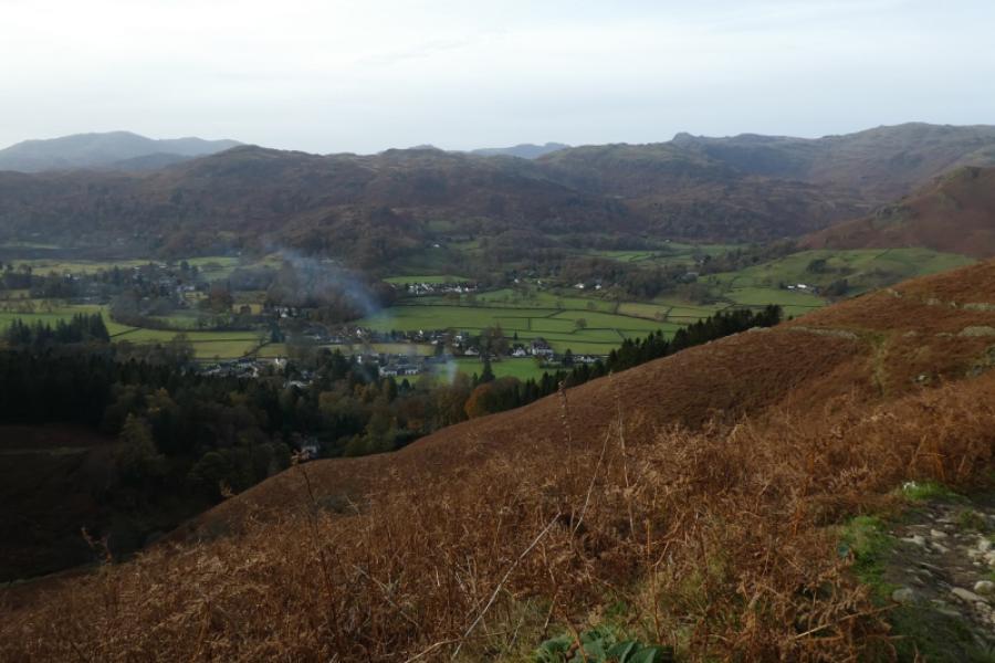
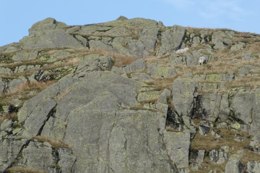
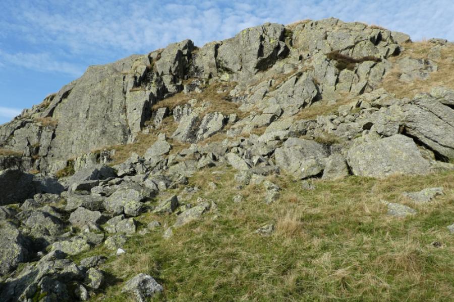
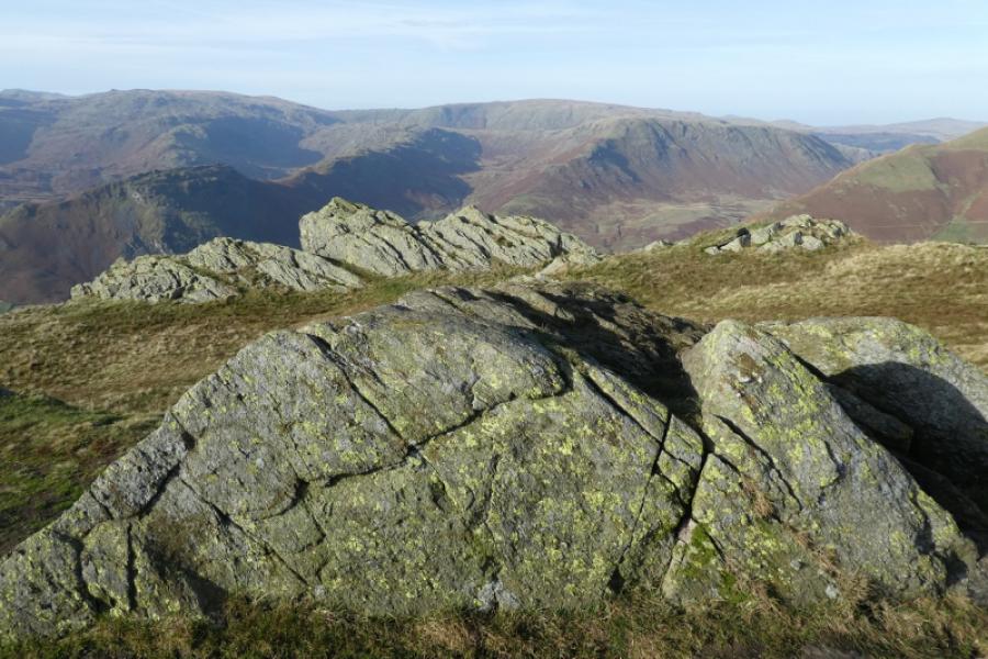
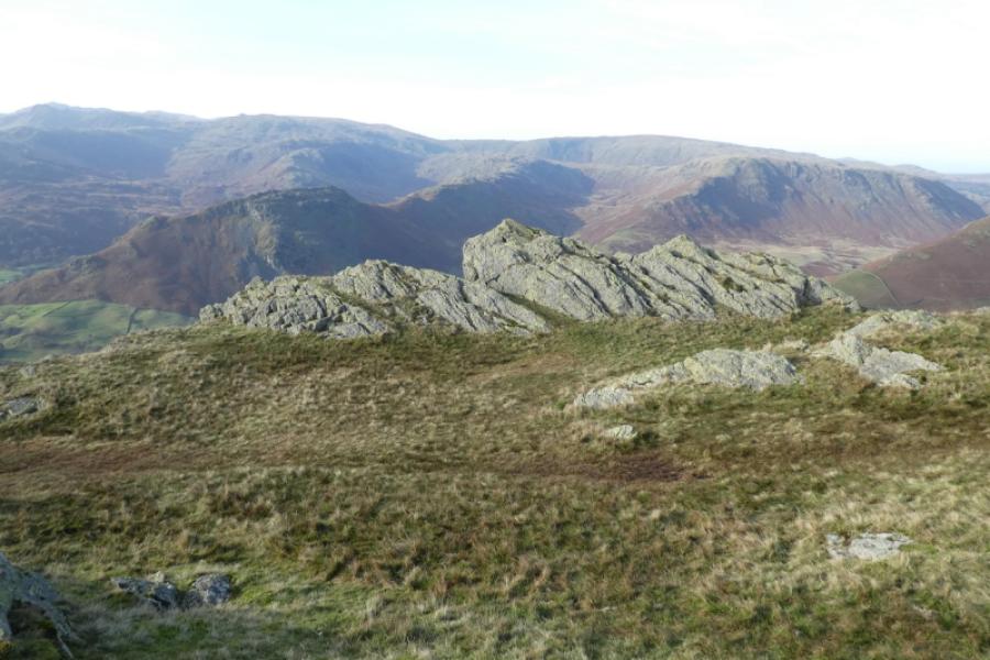
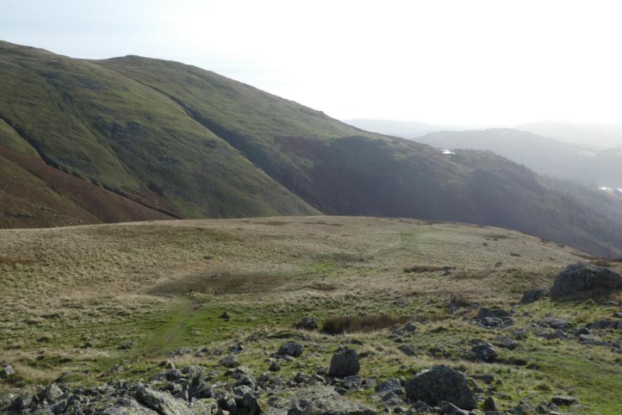
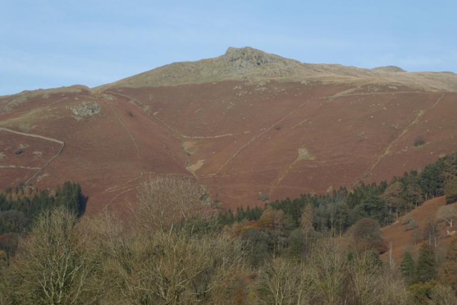
This is a pleasant walk which uses a well made path up to where the crest leading to Stone Arthur is joined after which it is an ascending ridge walk on a fairly obvious path. Stone Arthur isn't really a summit although it looks like one from the south end of Grasmere. It is actually the first significant outcrop on a ridge leading to Great Rigg and Fairfield. There is no cairn to mark it's “summit” but one can easily find the highest point in the outcrop. Further along the ridge, there are other “summits” and it seems worthwhile to go beyond Stone Arthur to the first two prominent outcrops on the ascending ridge to Great Rigg. Even Wainwright wasn't sure about the true summit of Stone Arthur! There are outstanding views to Silver How, Helm Crag, Steel Fell and Heron Pike/Alcock Tarn. In clear weather, one can see further to Harrison Stickle, Sergeant Man and even Scafell and Scafell Pike.
Route
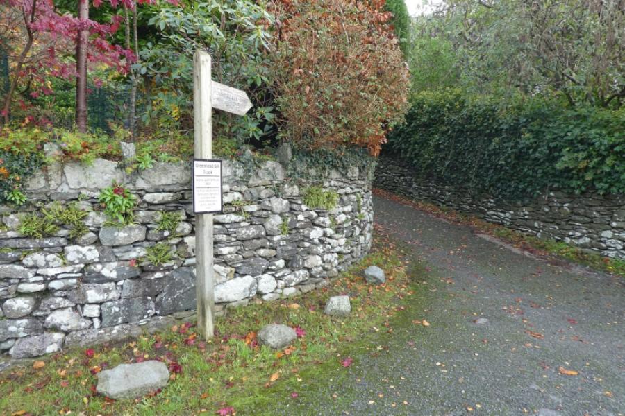
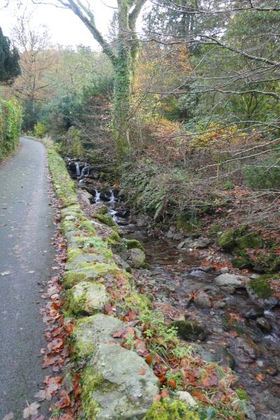
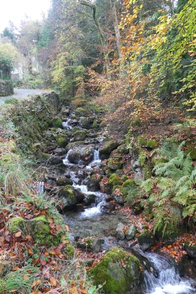
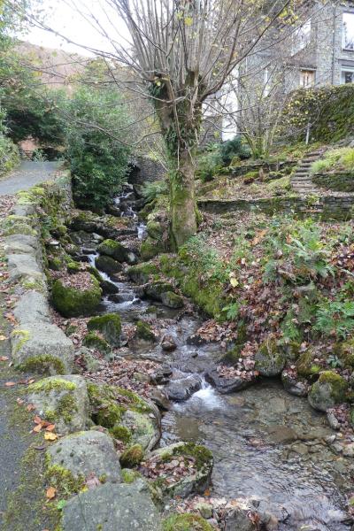
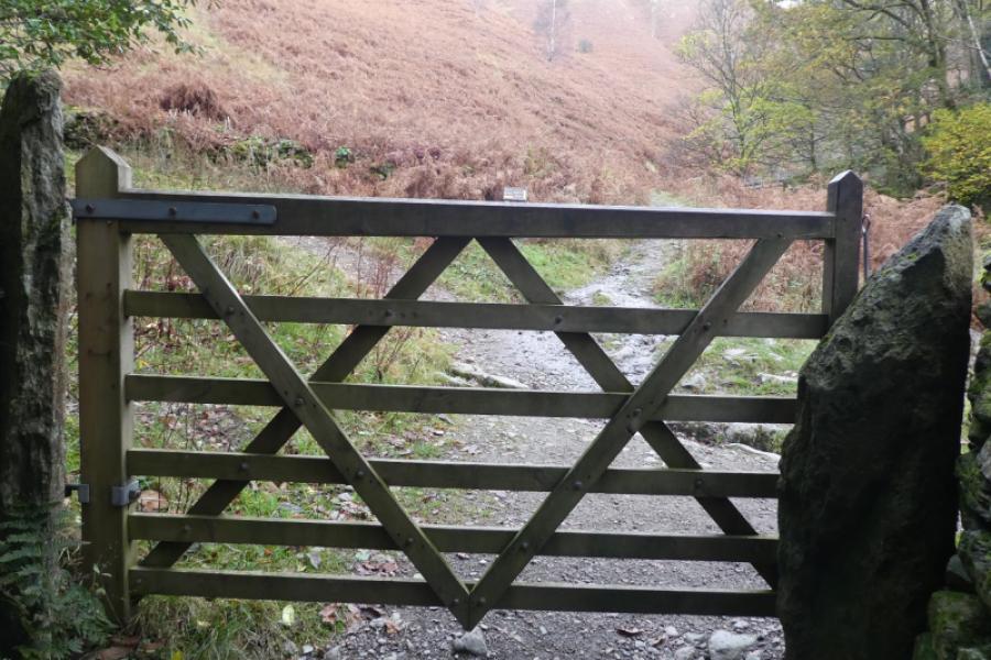
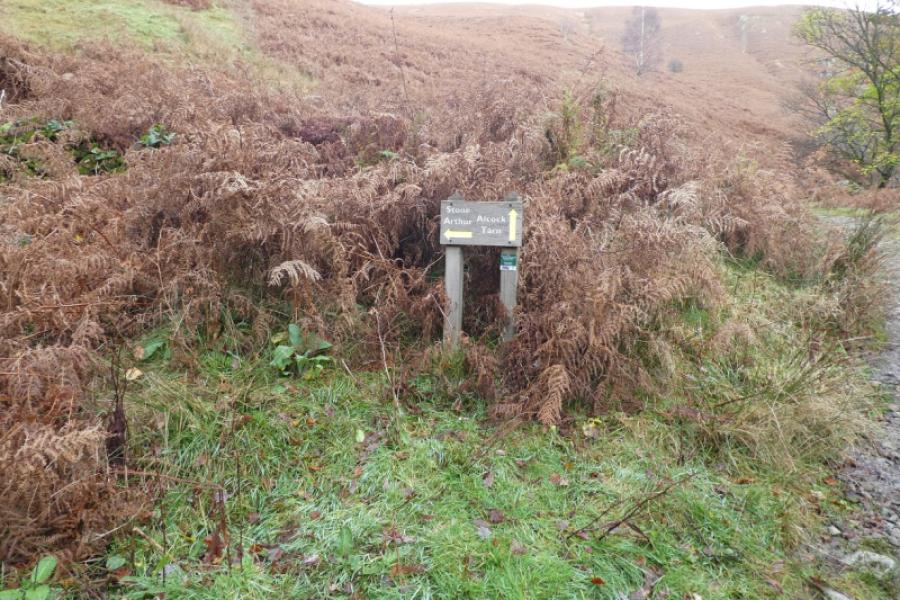
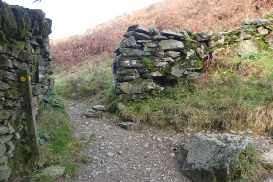
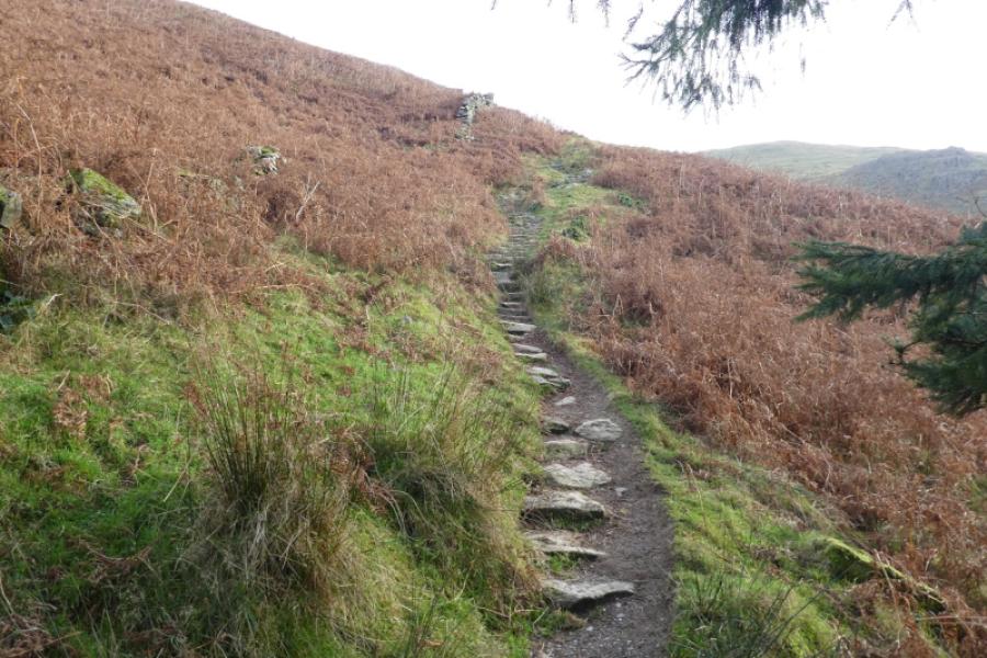
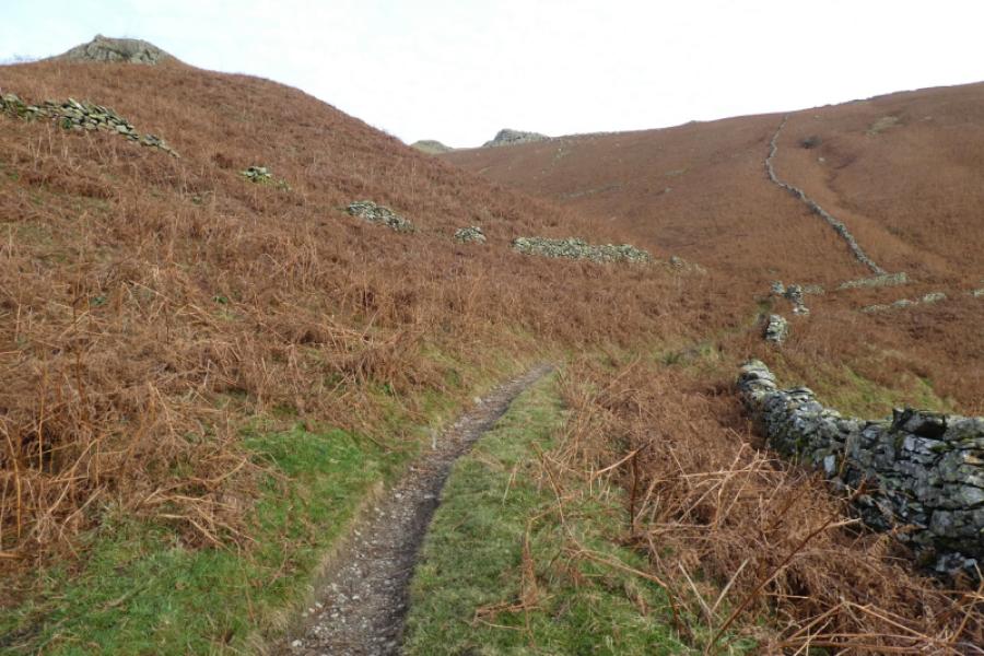
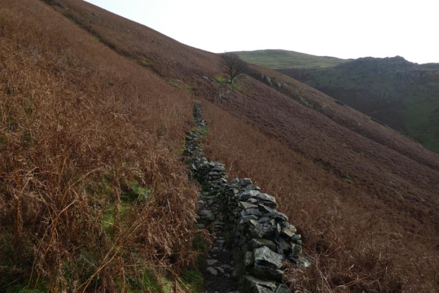
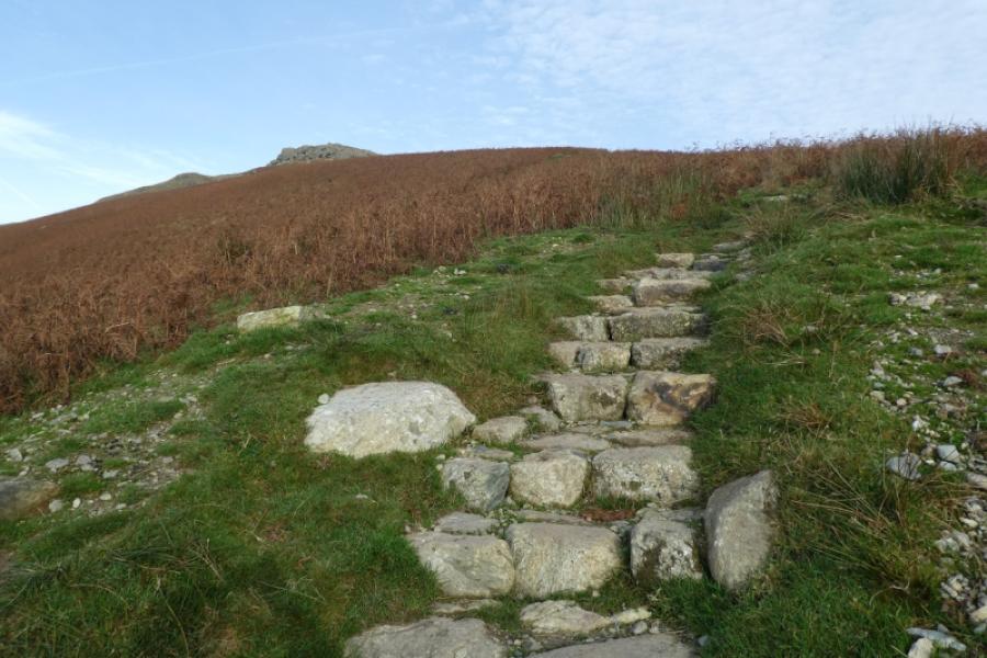
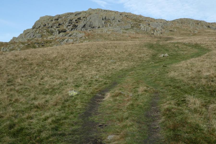
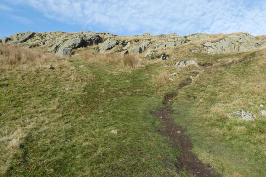
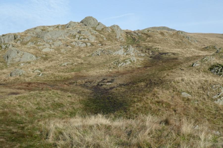
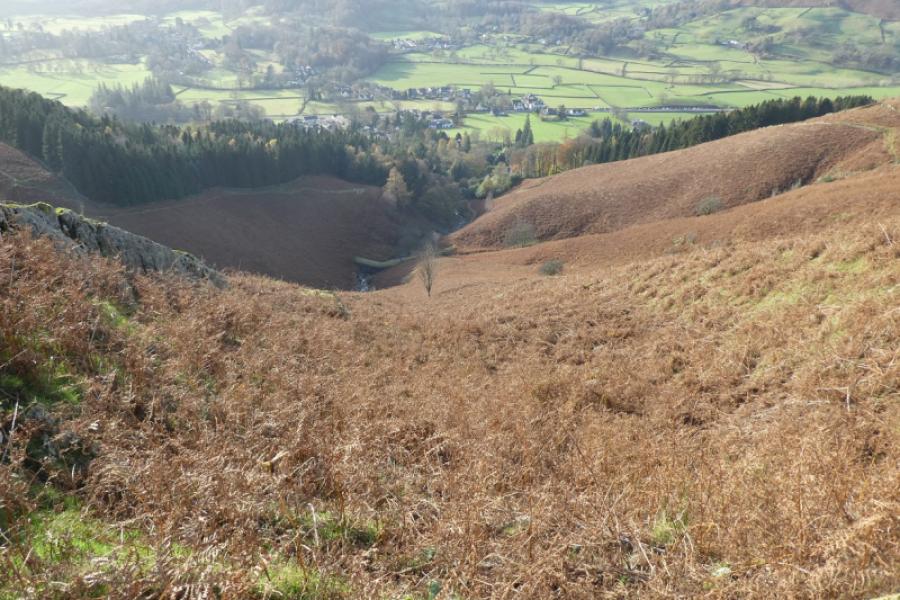
(1) From the long layby south of the Travellers Rest and on the opposite side of the road, walk to the minor road on the left which eventually loops around back to the main road and is obvious on the map. At about the highest point of this minor road, look for a narrow tarmac road going left signed for Green Head Gill. Follow this up, soon alongside the pleasant Greenhead Gill, to the end of the tarmac. Go through the gate then immediately fork left onto the path signed for Stone Arthur. Follow this by the wood. It is stepped in places and well signed especially where it turns right to follow a wall. Continue to reach the Stone Arthur crest and head towards the very obvious outcrop which seems further than it looks. The highest point in the outcrop is easily ascended and this is Stone Arthur, 500 m.
(2) This section is optional but it seems worth going to the next two distinct “summits” so continue roughly NNE on a reasonable path. A hollow and circular cairn is soon passed which is not a top as will be obvious when it is reached. The first “summit” appears jagged from a distance whereas the second looks a bit like a pyramid. Both are easily ascended from the north side. There are further tops if one wishes to continue but they tend to lie off the main path. It is possible to keep going to reach Great Rigg then Fairfield.
(3) Retrace the outward route from wherever you got to!
Notes
(a) This walk took place on 12th November, 2024.
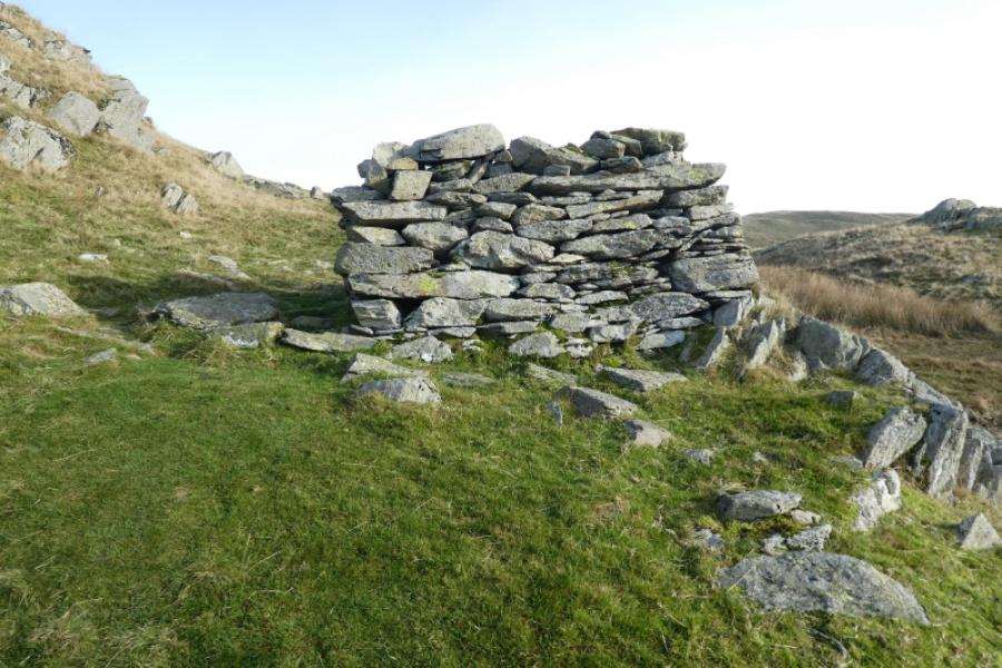
Photos - Hover over photo for caption. Click on to enlarge. Click on again to reduce.