Get Lost Mountaineering
You are here: England » Lincolnshire » County Walks
Louth to South Elkington Circular
Louth to South Elkington Circular
Start/Finish
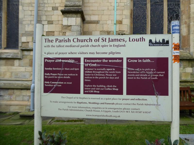
Anywhere in Louth ideally close to St. James Church. There are several pay car parks in Louth but also plenty of free on street parking. Louth is a traditional market town with some very nice shops and places to eat not to mention several market days each week.
Distance/Time
8 km About 2 – 3 hours
Peaks
No obvious peaks but the highest point is on theActhorpe Farm Road.
Explorer 282: Lincolnshire Wolds North
Introduction
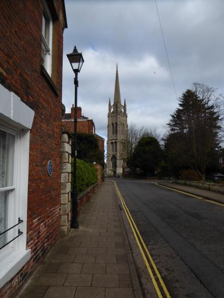
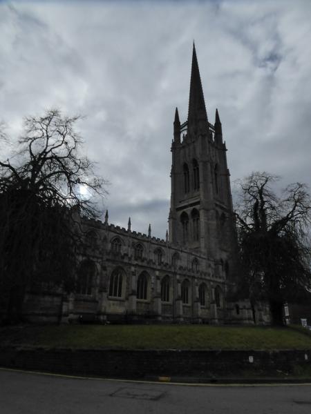
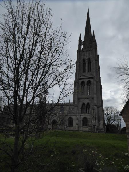
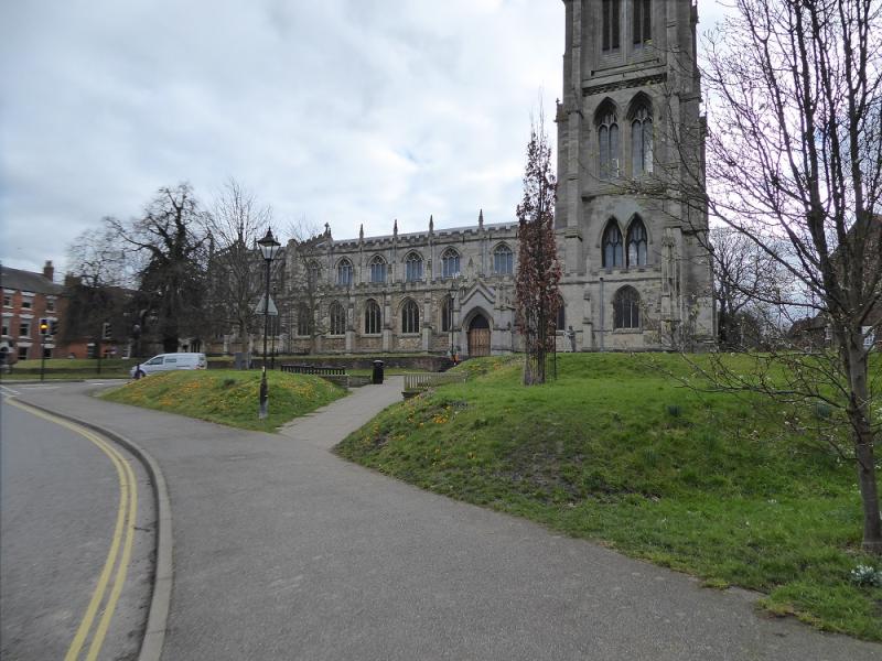
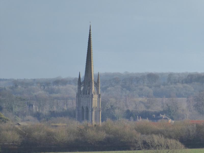
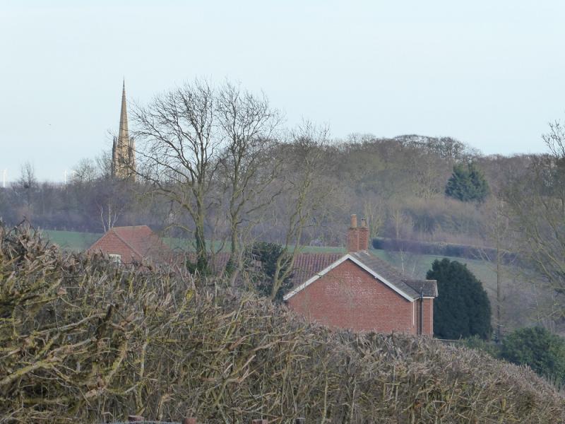
No one would claim that any part of Lincolnshire is mountainous but walks on its gentle rolling hills are enjoyed by many. A fair amount of this walk is on the road but very quiet roads apart from the A631which is joined at South Elkington. St. James' Church in Louth is the tallest church in the county and the seventh tallest in the UK. It can be seen from miles around. Note that the busy Louth bypass has to be crossed twice on this walk and there is no proper crossing point.
Route
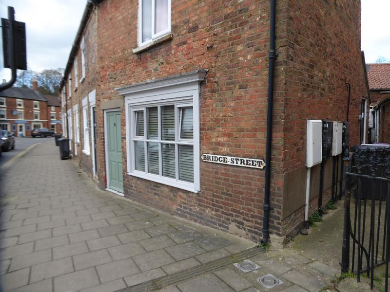
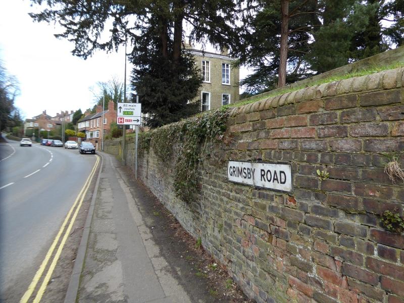
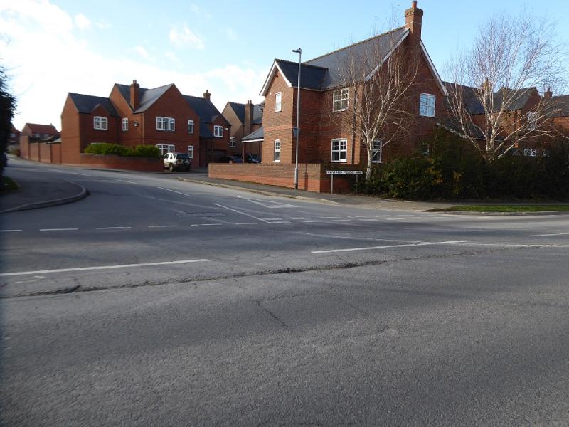
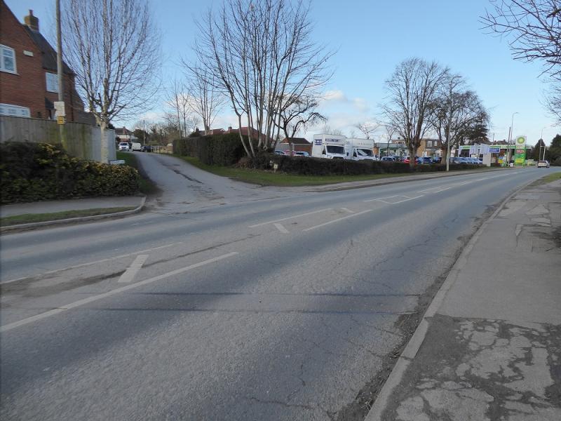
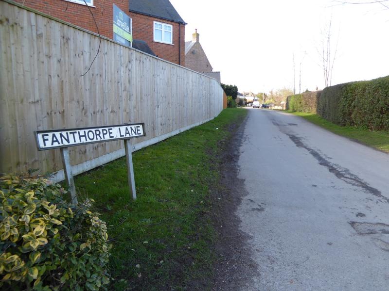
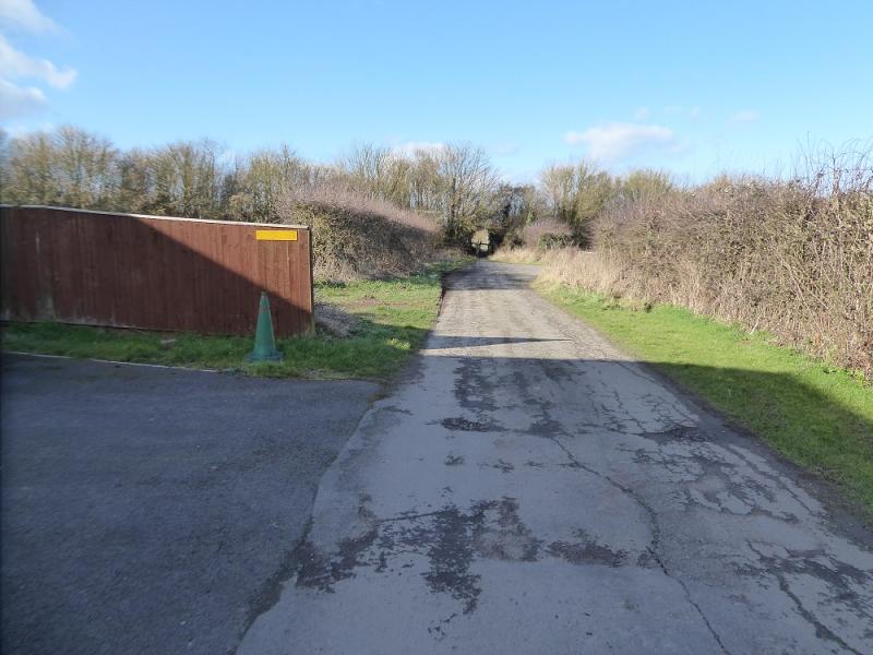
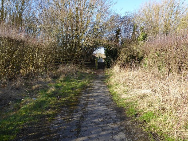
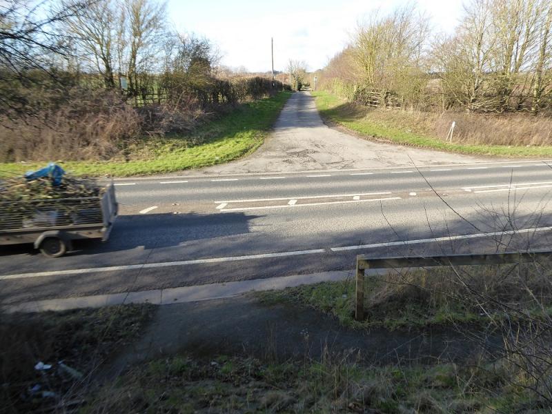
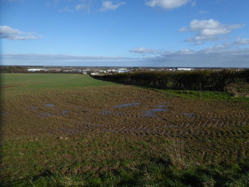
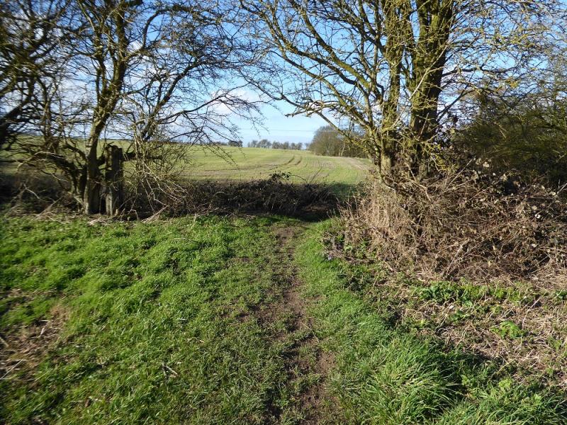
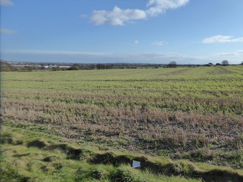
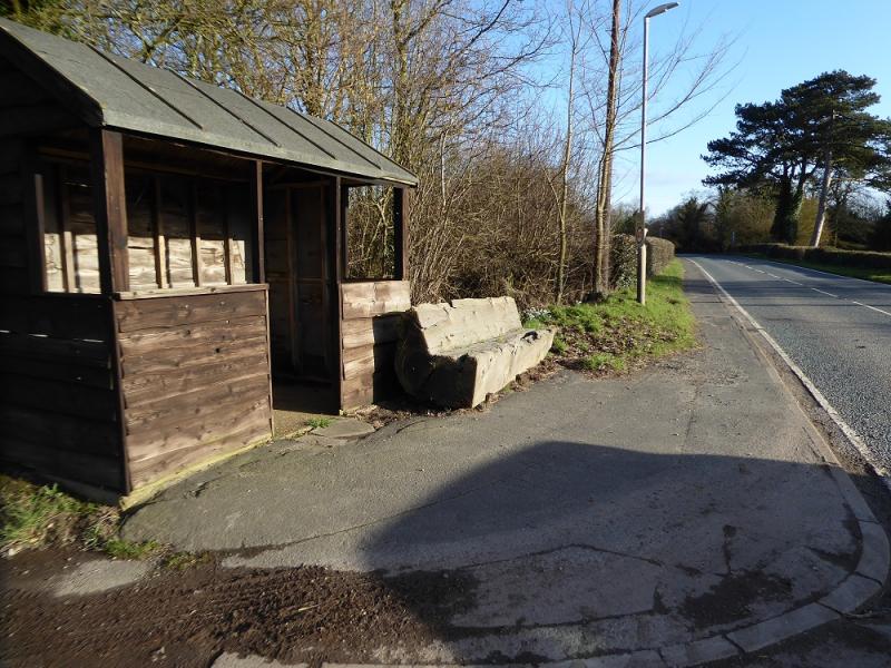
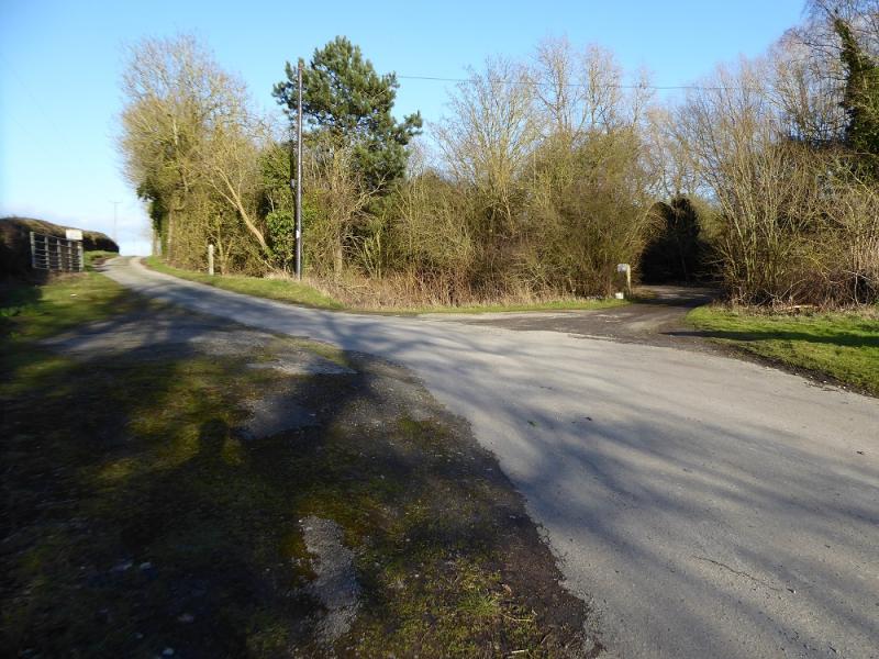
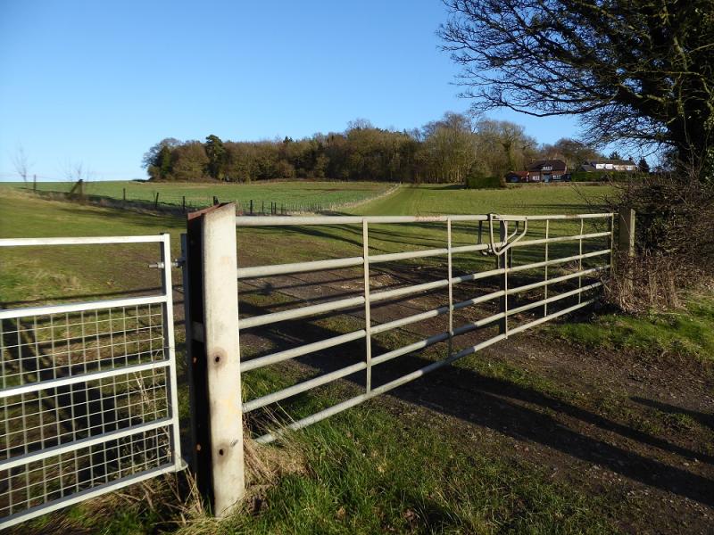
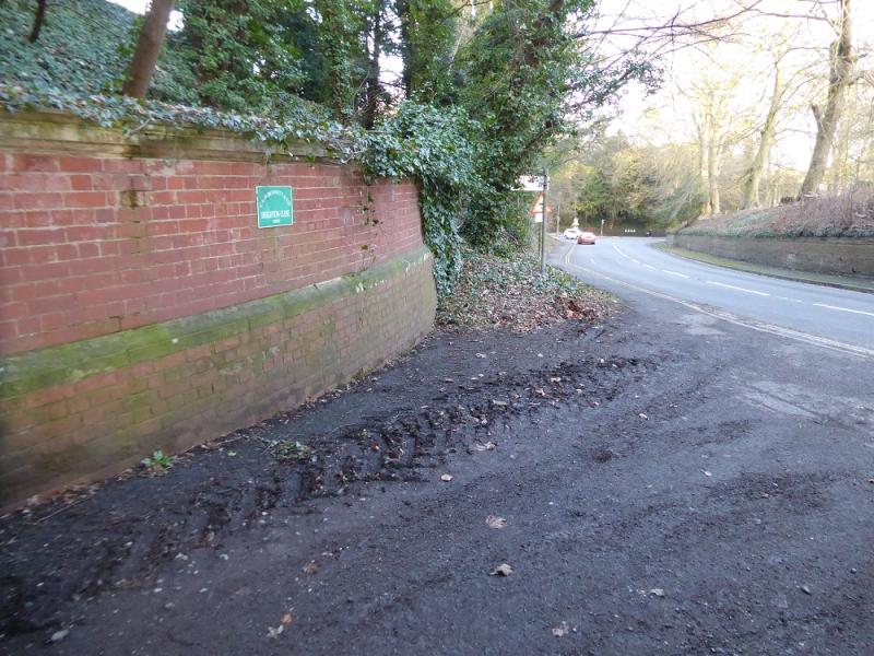
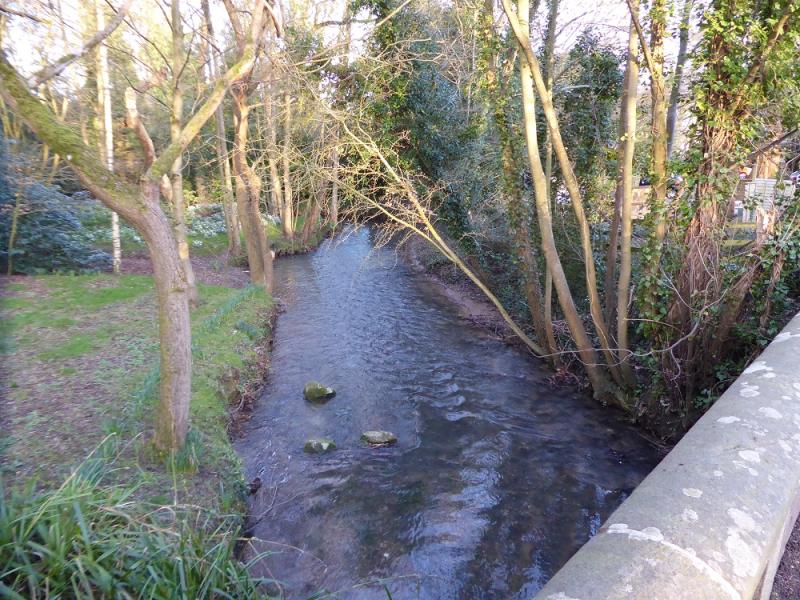
(1) Find your way to St. James' Church then walk slightly downhill on Bridge Street, soon crossing a bridge over the River Lud. Continue onto Grimsby Road which soon starts to climb. When the gradient eases, there is a new estate on the left of the road with Fanthorpe Lane just after and a Spar garage further on up Grimsby Road. Go up Fanthorpe Lane. After the houses, continue on a path which drops down steps to cross the bypass. Continue on the other side, still on Fanthorpe Lane until that becomes a grassy track then a path but it's all almost straight. Pass through some fields to reach a minor road.
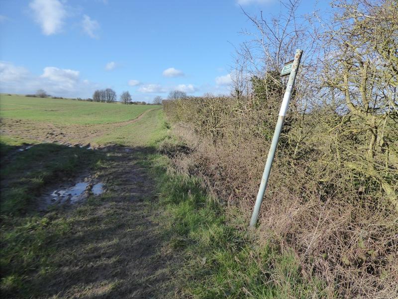
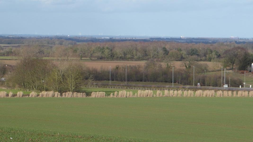
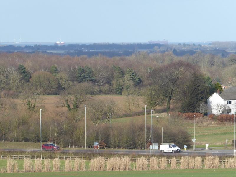
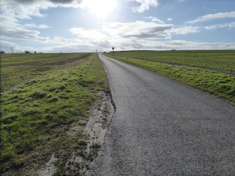
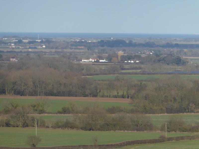
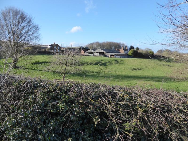
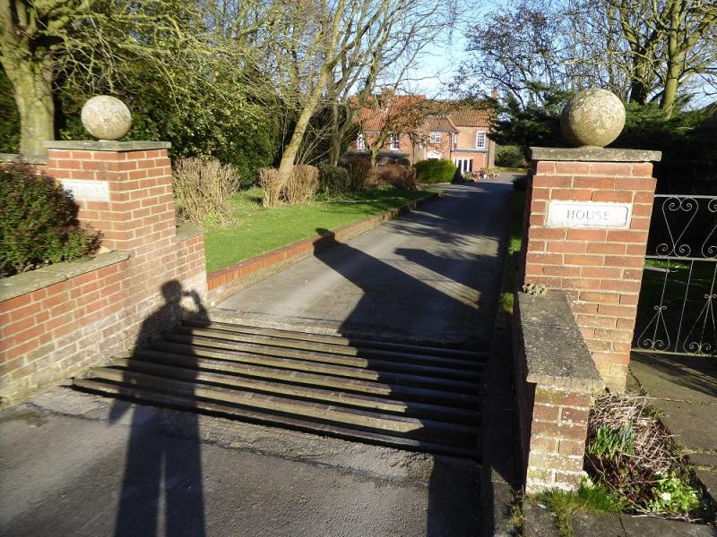
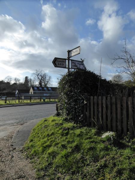
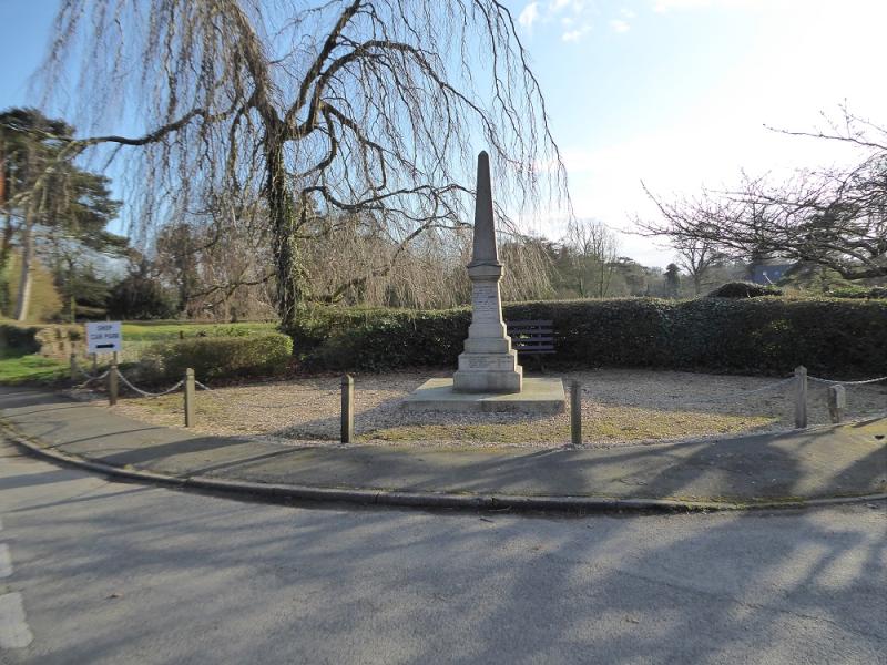
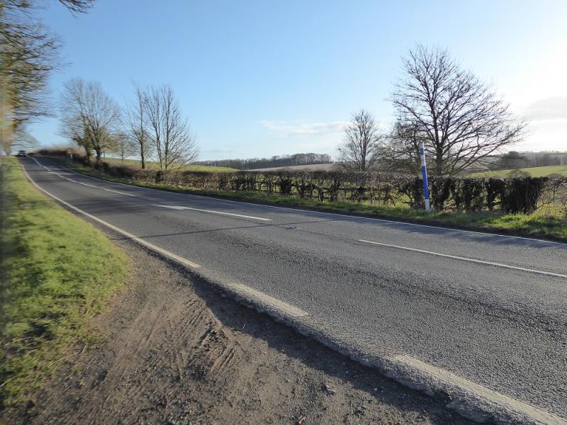
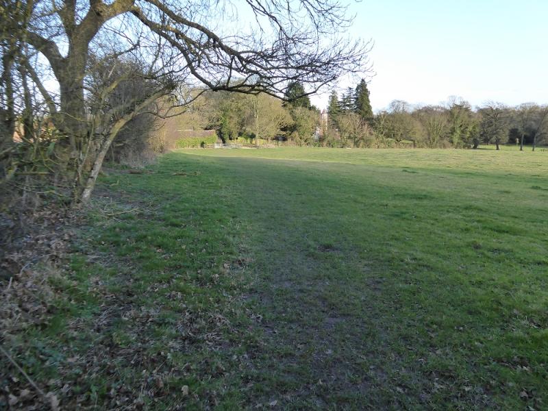
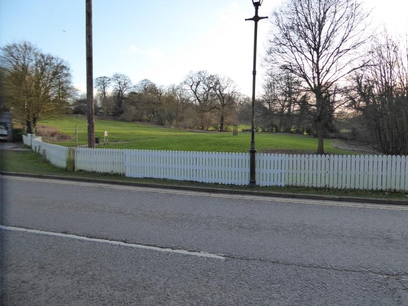
(2) Turn left, SW, and follow the road as it climbs gently offering great views to the north. The Humber Estuary is not that obvious but if you can spot some distant wind turbines then these are across the river. Follow the road which winds through Acthorpe Farm before continuing, roughly W. After the highest point on the road, descend gently passing Linford House to reach the busy A613 at South Elkington opposite the war memorial. There is a shop near here but it has limited opening hours so you may wish to check those in advance.
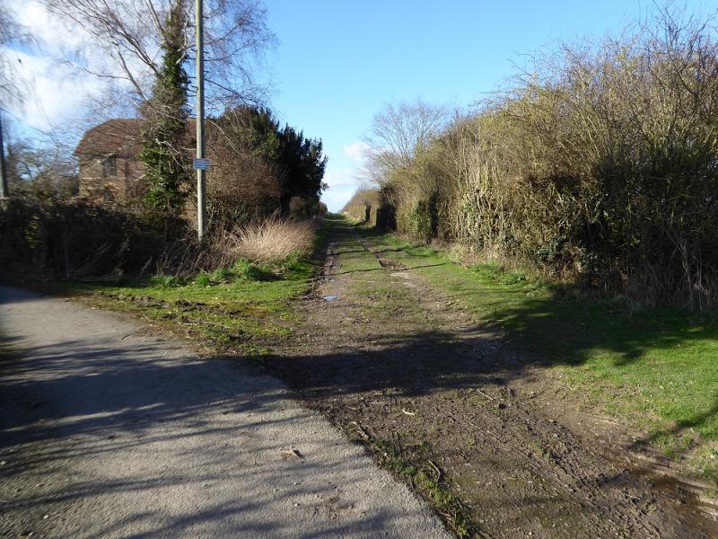
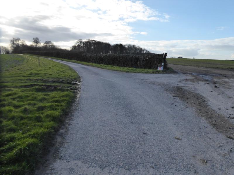
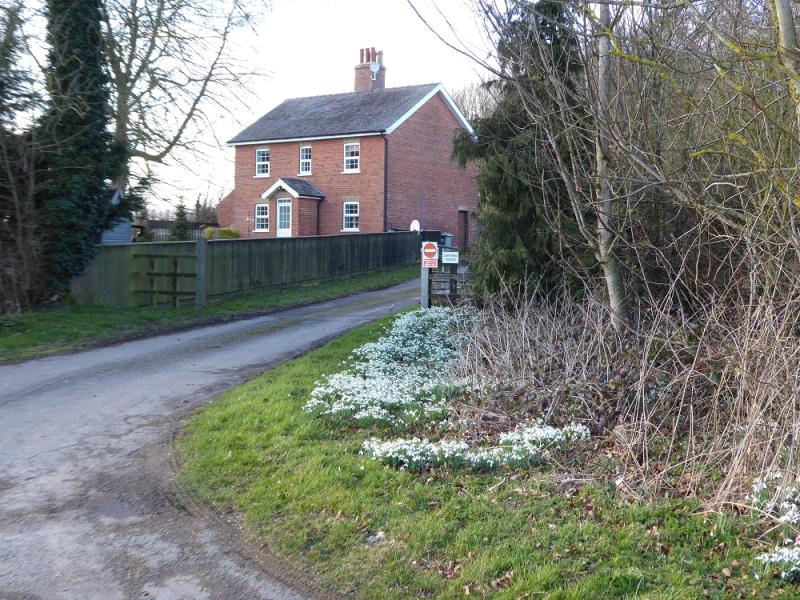
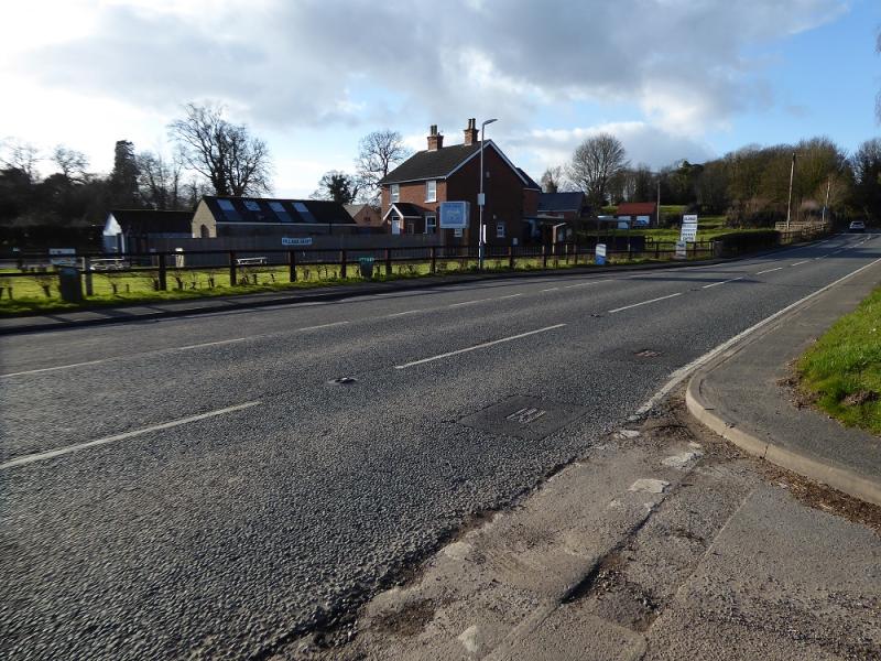
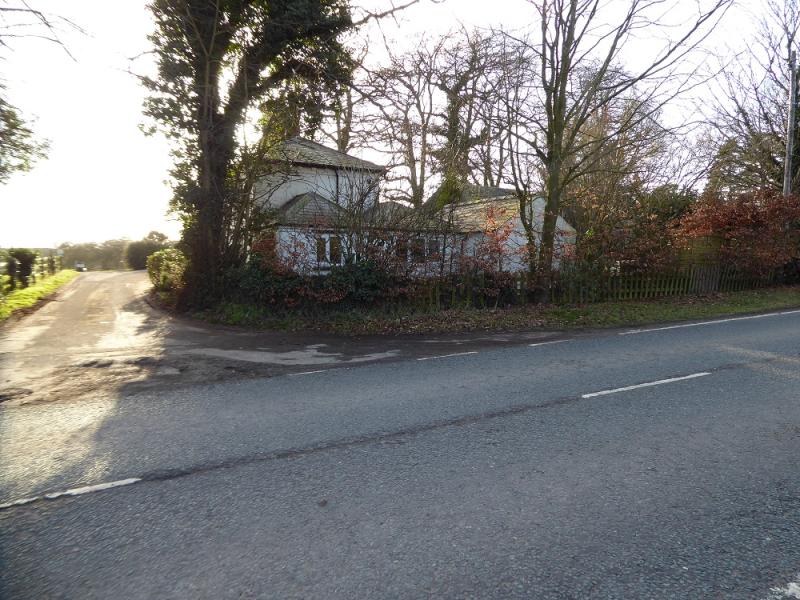
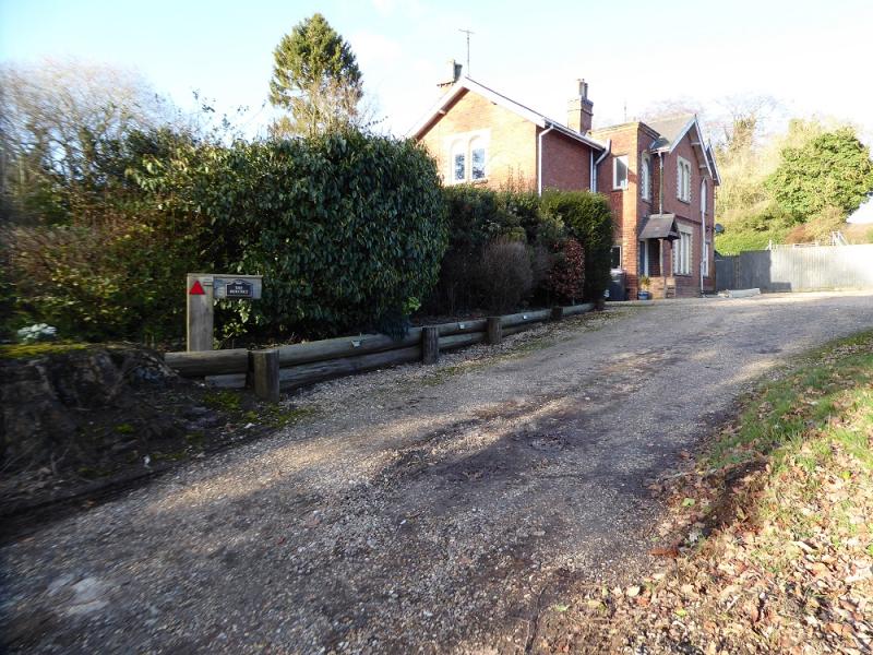
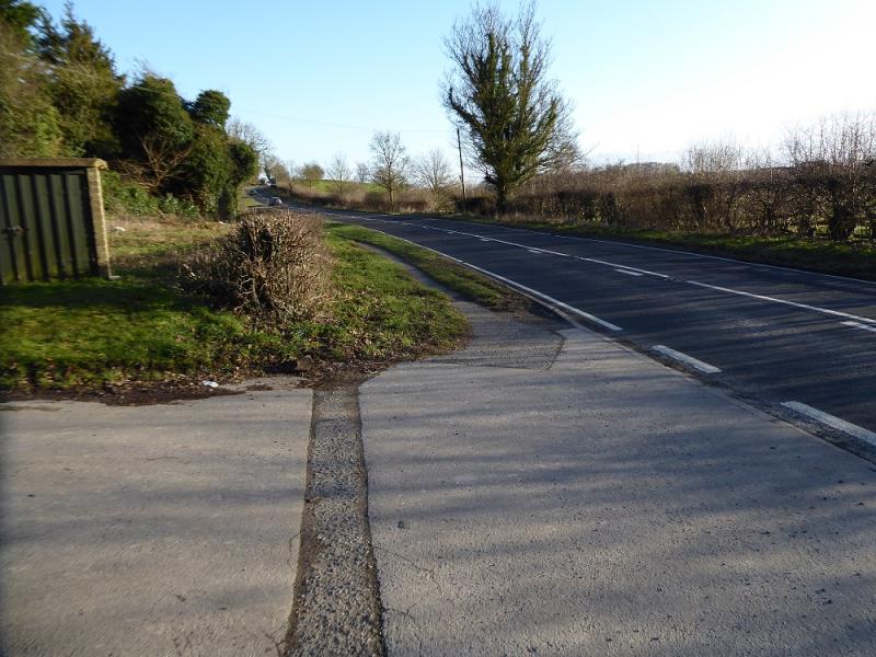
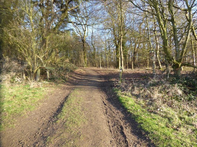
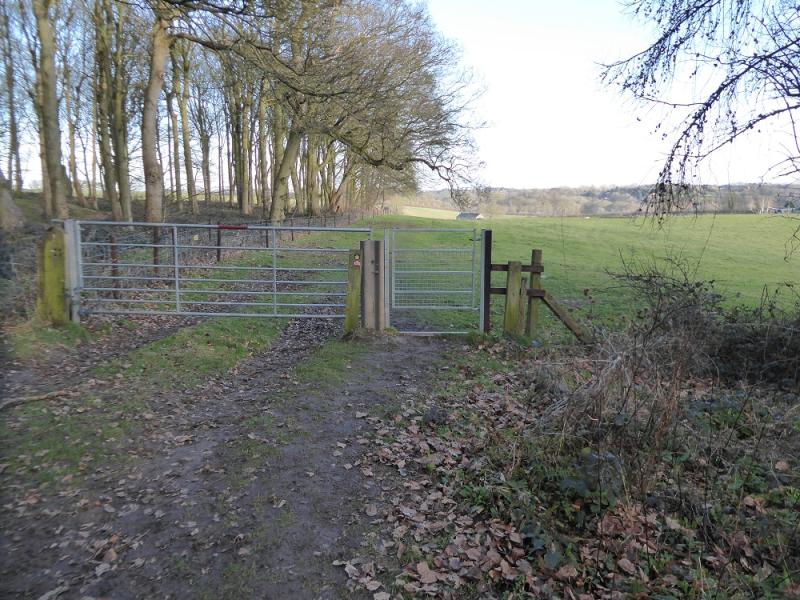
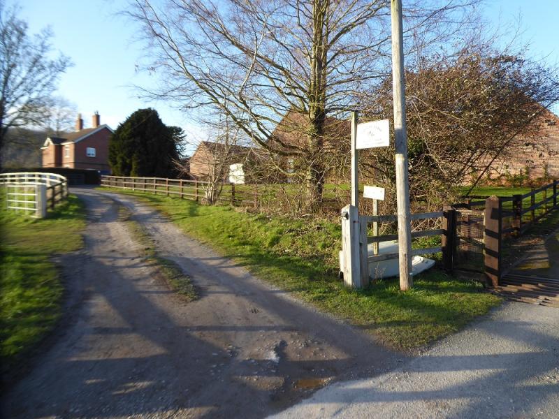
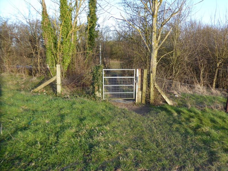
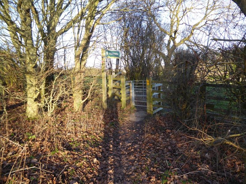
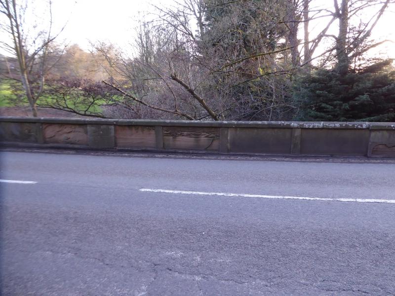
(3) Turn left, SE, onto the A631. There is a footpath but the traffic is still fast and seems very close. Pass through a minature “valley” and continue down into a dip from where 40 mph signs are visible ahead and slightly uphill. About 100 m before these, there is a large gate on the left with a footpath sign. Follow this footpath which slants uphill to pass some houses before entering Cow Pasture Wood. Follow the path through the wood then down past Pasture Farm to recross the bypass. Continue on the obvious path which soon becomes a path, passing Thorpe Hall farm before descending down to meet the B1200 road into Louth. Follow the road down, across the bridge over the River Lud, then into Westgate and back to St. James' Church.
Notes
(a) This walk took place on 25th February, 2025.
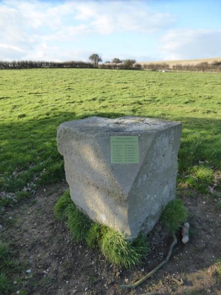
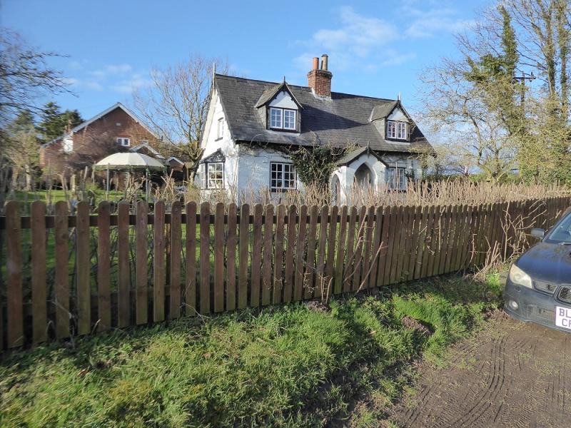
Photos - Hover over photo for caption. Click on to enlarge. Click on again to reduce.