Get Lost Mountaineering
You are here: England » Lake District » 3 Central Fells
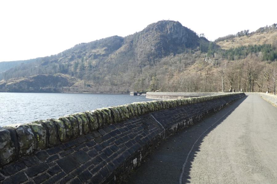
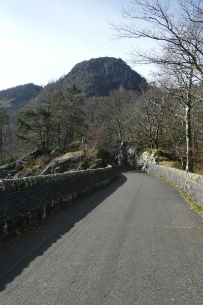
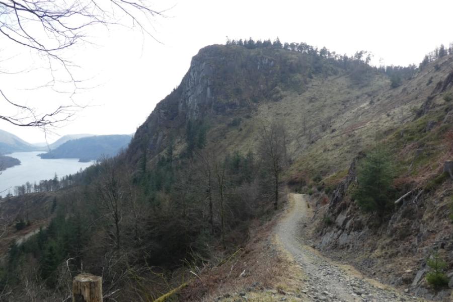
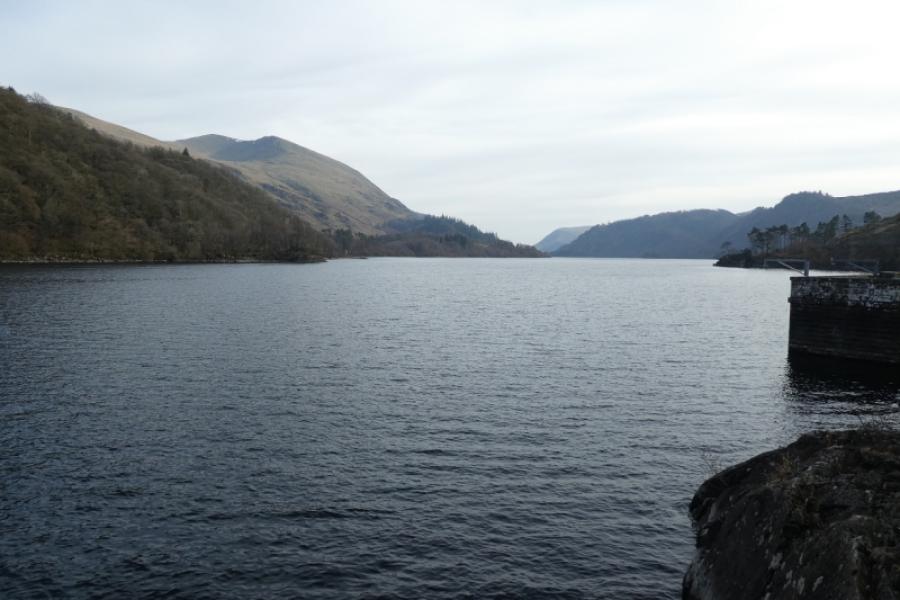
Raven Crag from Thirlmere Dam
Raven Crag from Thirlmere Dam
Start/Finish
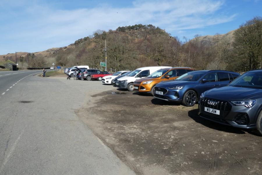
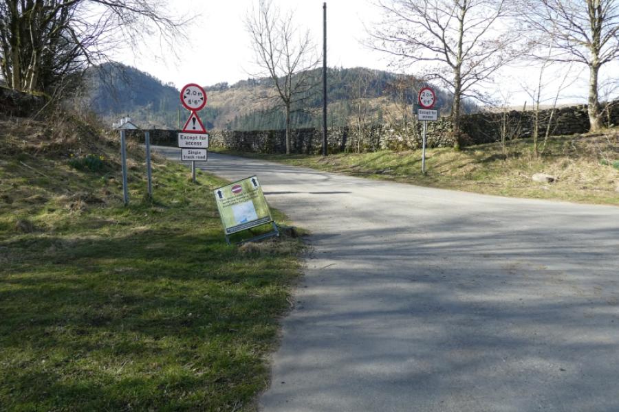
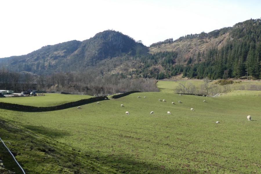
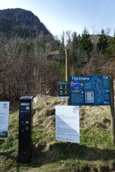
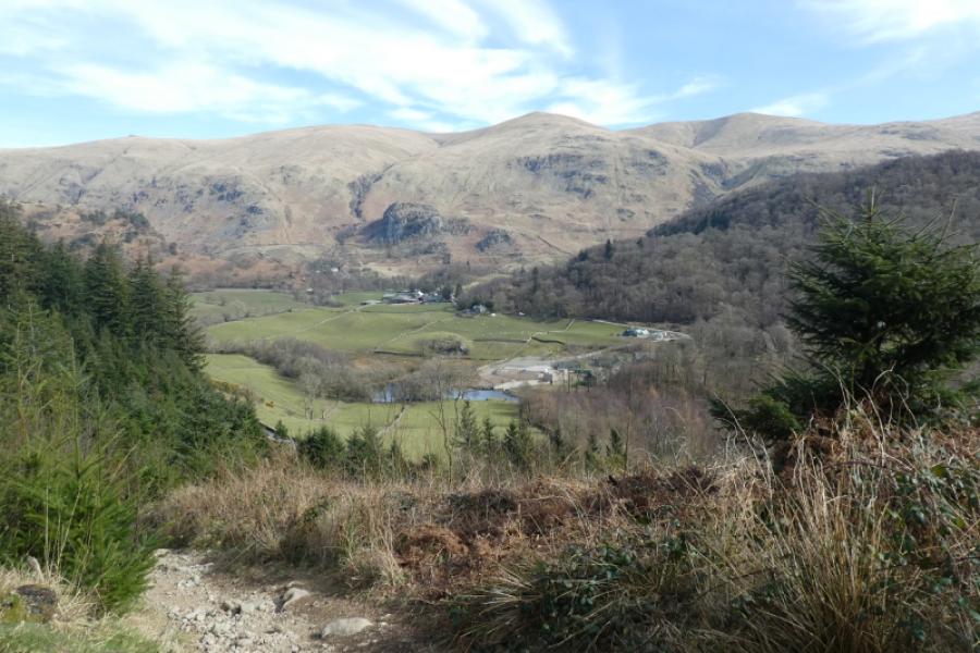
Rough layby on A591 (southbound side) a few hundred metres north of the Legburthwiate which is where the road to St. John's in the Vale leaves the A591. If full, there are other laybys not too far away but they may also be full on a busy day. The layby is almost opposite the closed minor road to the Thirlmere Dam. There is a bus stop at the south end of the layby with regular buses from Keswick, Grasmere and Ambleside. One could use the bus to create a longer route. It is possible, if early enough, to park near the start of the path just north of the Thirlmere Dam. However, approaching from the A591 gives good “head on” views of Raven Crag.
Distance/Time
4 km About 2 – 3 hours
Peaks
Raven Crag, 461 m, NY 303 187.
OS 1: 50 000 , Sheet 90: Penrith & Keswick
OS 1: 25 000 Outdoor Leisure 4, English Lake District NW Area.
Introduction
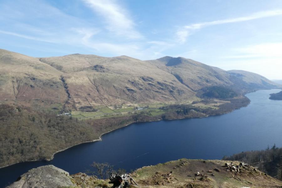
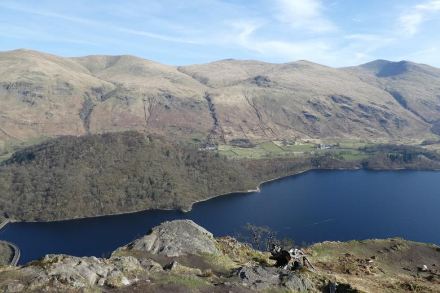
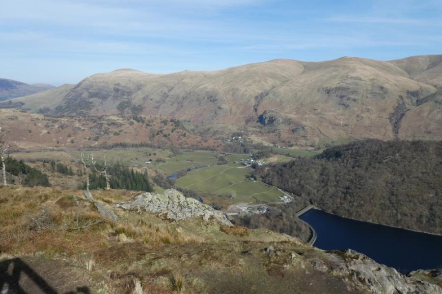
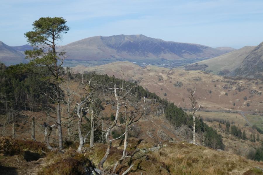
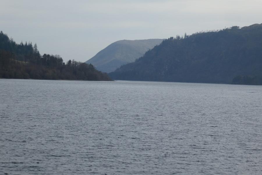
This is a short walk on an obvious but steep and rough path, sections of which were being improved in 2025. There is now no cairn on the summit but a viewing platform instead from where one can see down Thirlmere and the whole of the Helvellyn range main ridge. Blencathra is well seen, too. A short detour takes one to a Hill Fort.
Route
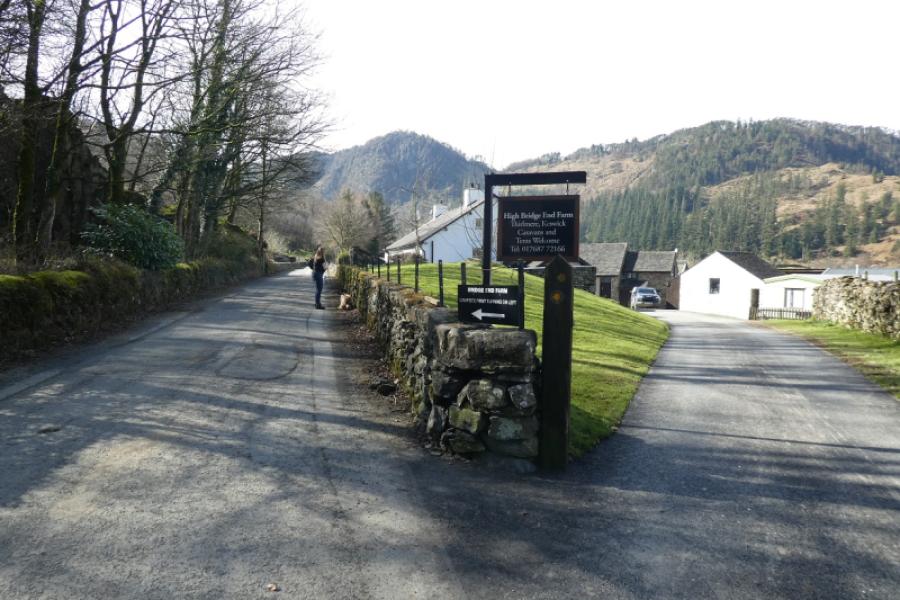
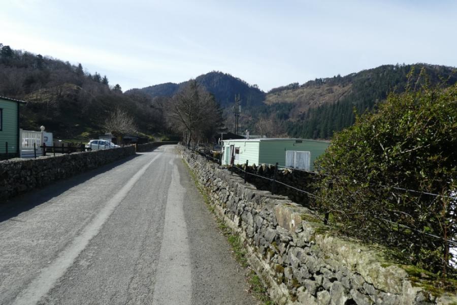
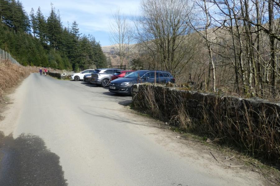
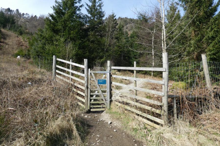
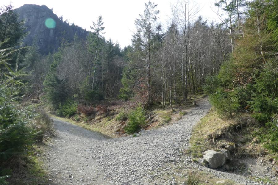
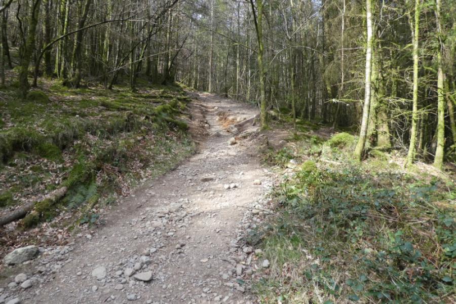
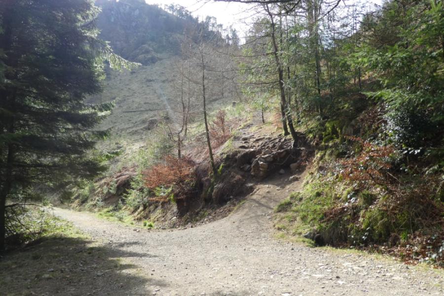
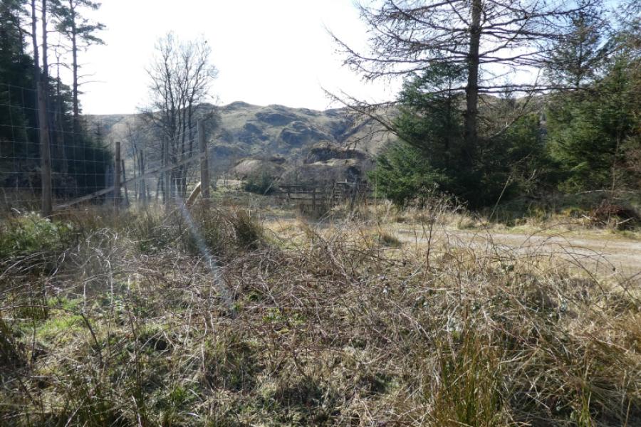
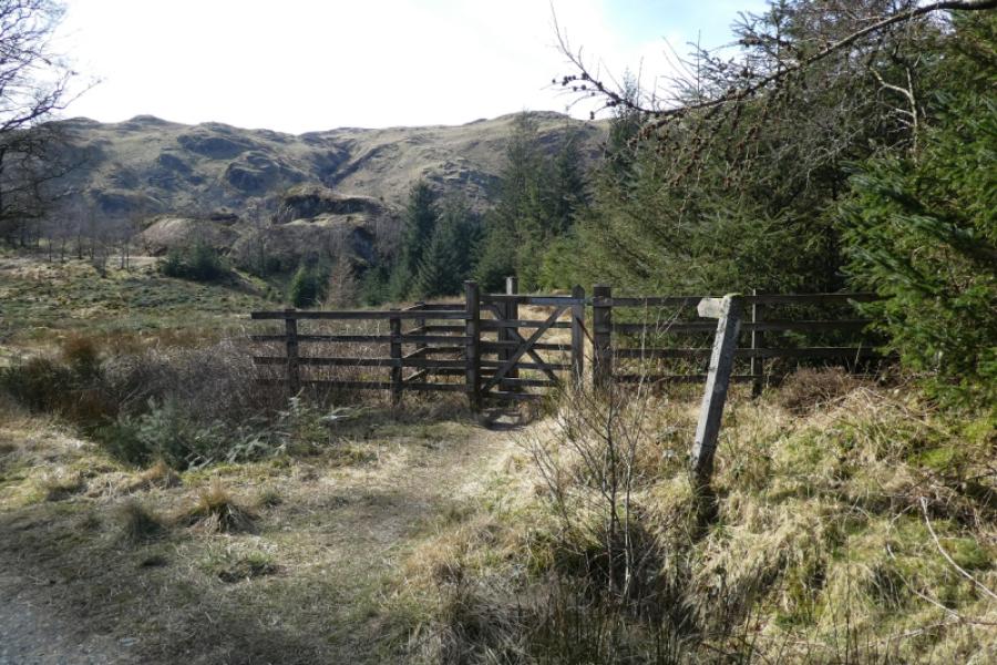
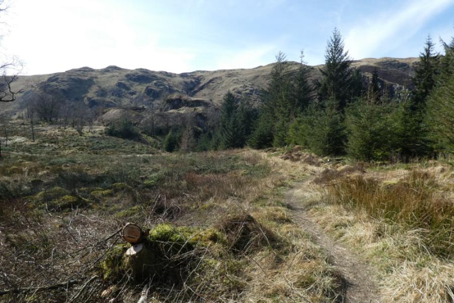
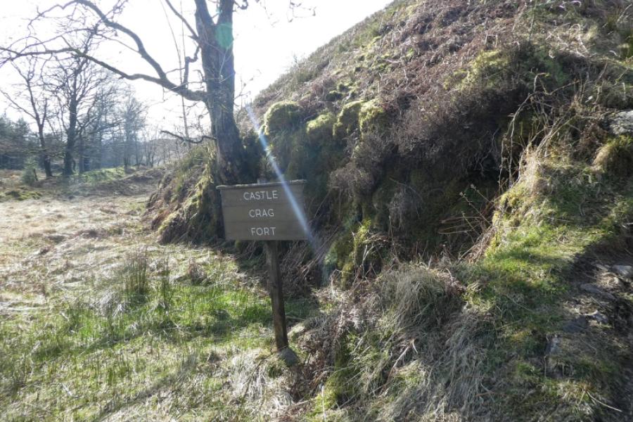
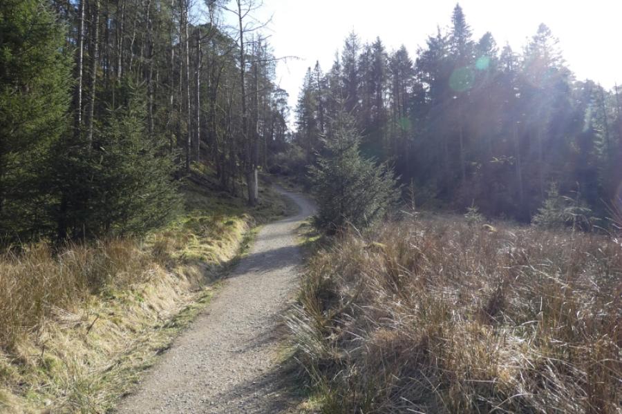
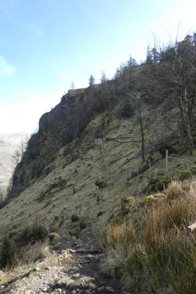
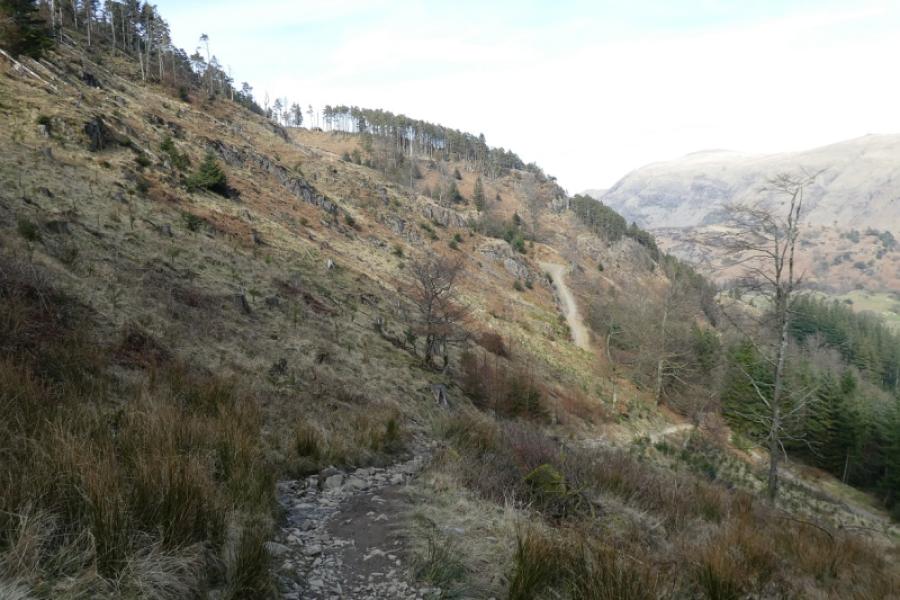
(1) From the layby on the A591, take the minor closed road to the Thirlmere Dam with Raven Crag looming ahead. After the dam, take the road heading north for just a few hundred metres to a gate on the left (opposite parking bays) where the obvious gravel path starts. Follow the steep and loose path up to cross a forestry track. Continue on an even worse path to cross the same track higher up. The start of the third path section is awkward to start with owing to tree erosion. Once past this, continue to the crest of the ridge where there is another forestry track. The path to Raven Crag goes left through a gate but it is worth a short detour to the Hill Fort so cross the track to a gate and follow the faint path to reach a sign saying “Castle Crag Fort”. There is nothing more to see but one can explore the outcrops nearby. Beyond is a narrow steep sided valley below the High Seat ridge. Retrace to the forestry track then follow the path easily, using steps and boardwalks, up to the viewpoint on Raven Crag, 461 m.
(2) Descend by the ascent route, being very careful where the path is steep and loose. The section between the two tracks can be avoided by following the upper track south as it curves round to cross the path lower down.
Notes
(a) This walk took place on 20th March, 20225.
Photos - Hover over photo for caption. Click on to enlarge. Click on again to reduce.