Get Lost Mountaineering
You are here: England » Yorkshire Dales » Harrogate Area
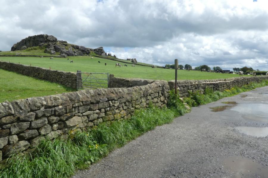
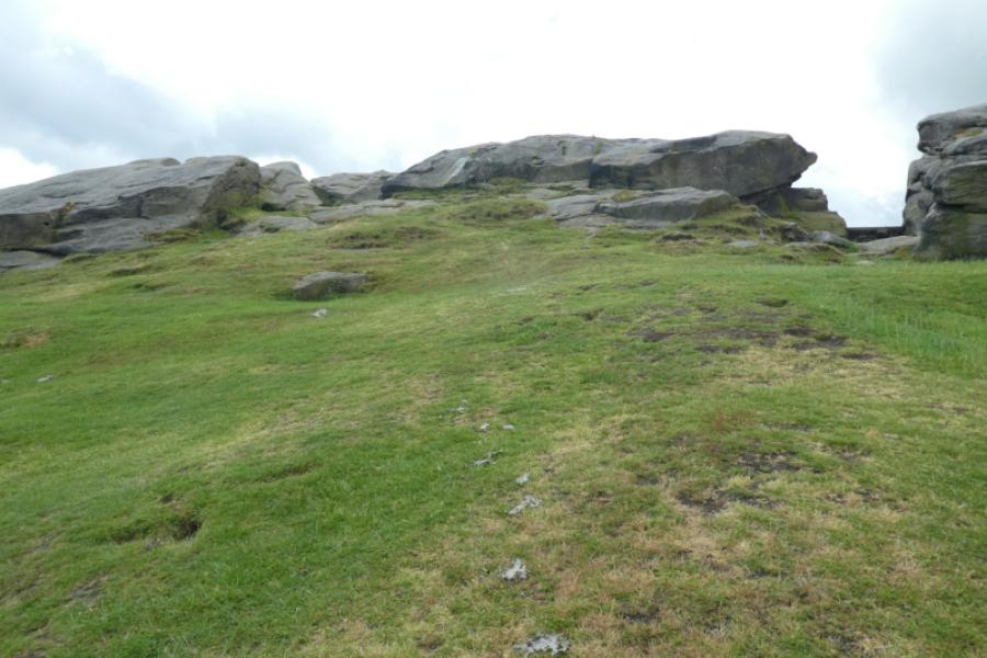
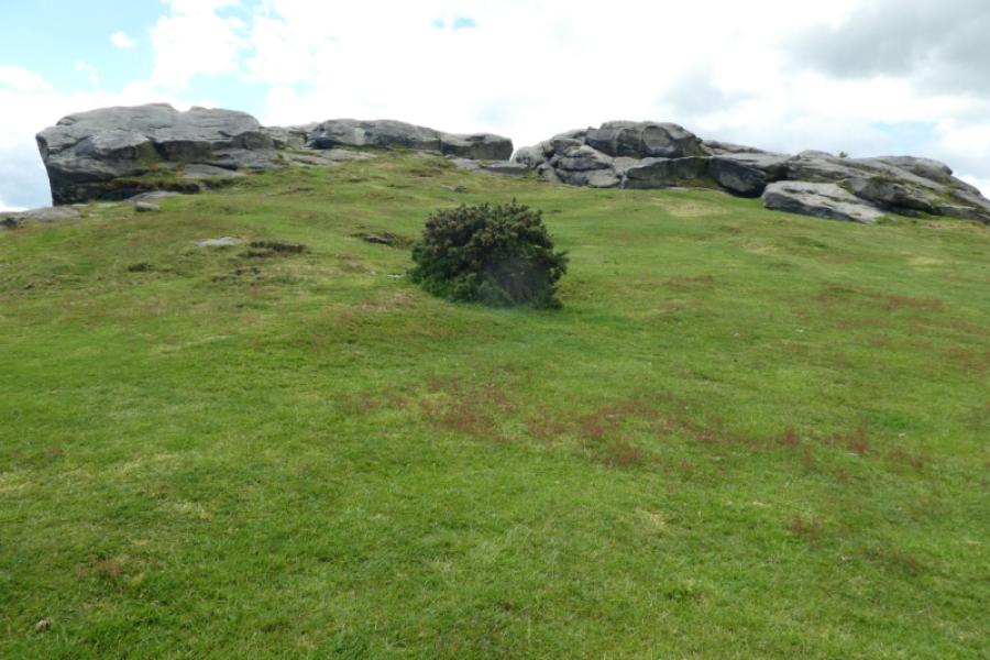
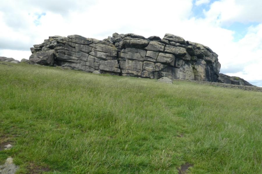
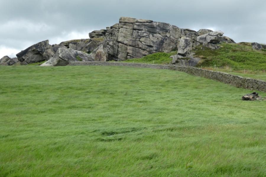
Almscliff Crags from Parking Spaces Below on Western Side
Almscliff Crags from Parking Spaces Below on Western Side
Start/Finish
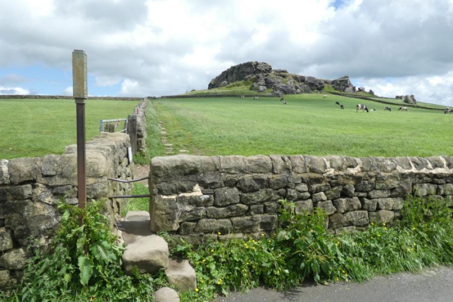
There is a large gravel verge on the road below the western end of the crags just to the north of the junction with Crag Lane (the road from North Rigton). There is no parking below the crags on Crag Lane with several notices to that effect. As the crag is only a few minutes from the road with little ascent, it can be very popular with climbers in good weather so parking may be difficult but there is plenty of parking in North Rigton about 1 km to the east and Crag Lane is quite pleasant to walk along with good views up to the crags. The nearest postcode is LS17 0ER which seems to be Crag Farm, on Crag Lane, below the crags but Google maps recognises “Almscliff Crags” if you use that. It is best to approach via Crag Lane from North Rigton as there are good views of the crags from the lane.
Distance/Time
2 km. About 1 - 2 hours.
Peaks
There are no peaks as such but the crags are on a hill. The approximate grid reference for the crags is SE 268 490.
OS Landranger 104: Leeds & Bradford
OL Explorer 297: Lower Wharfedale & Washburn Valley
Introduction
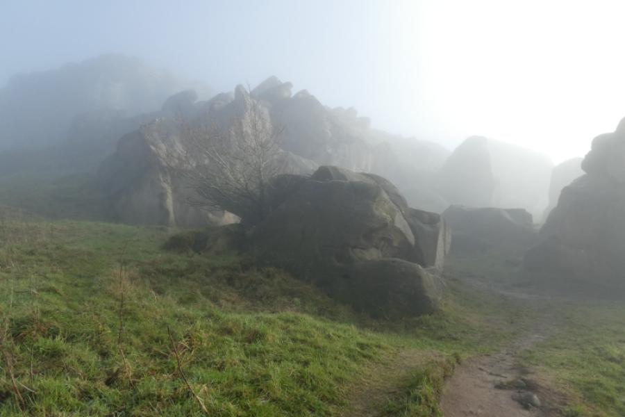
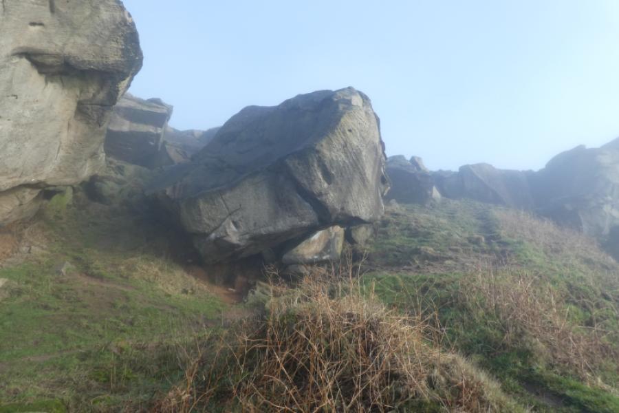
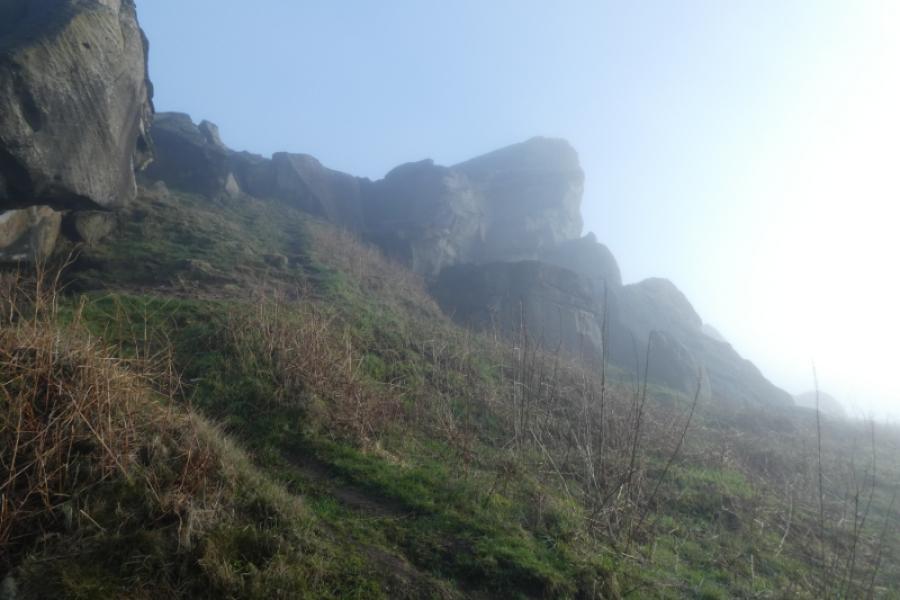
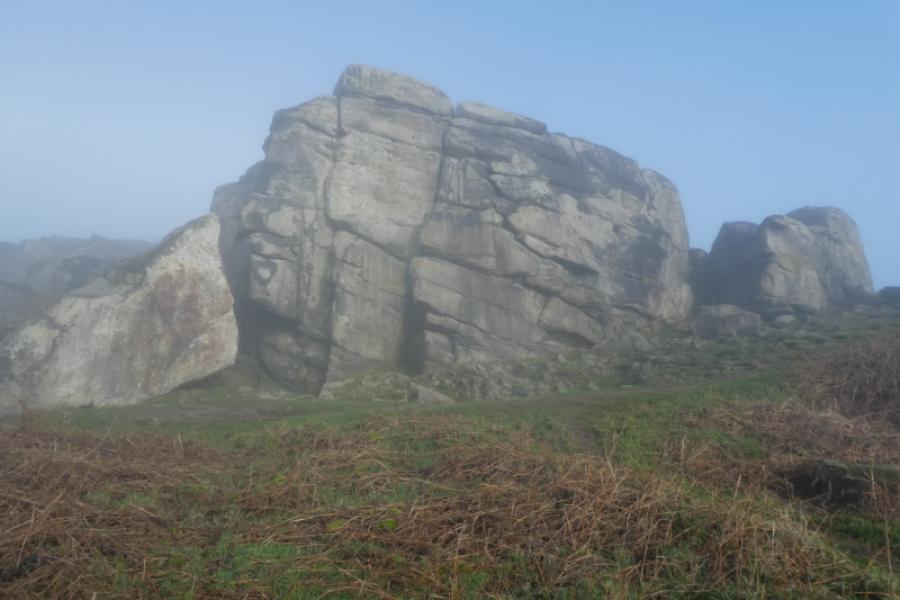
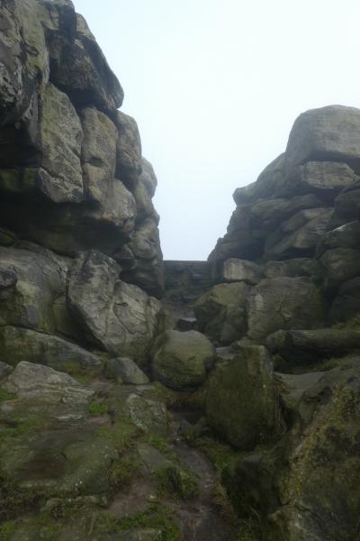
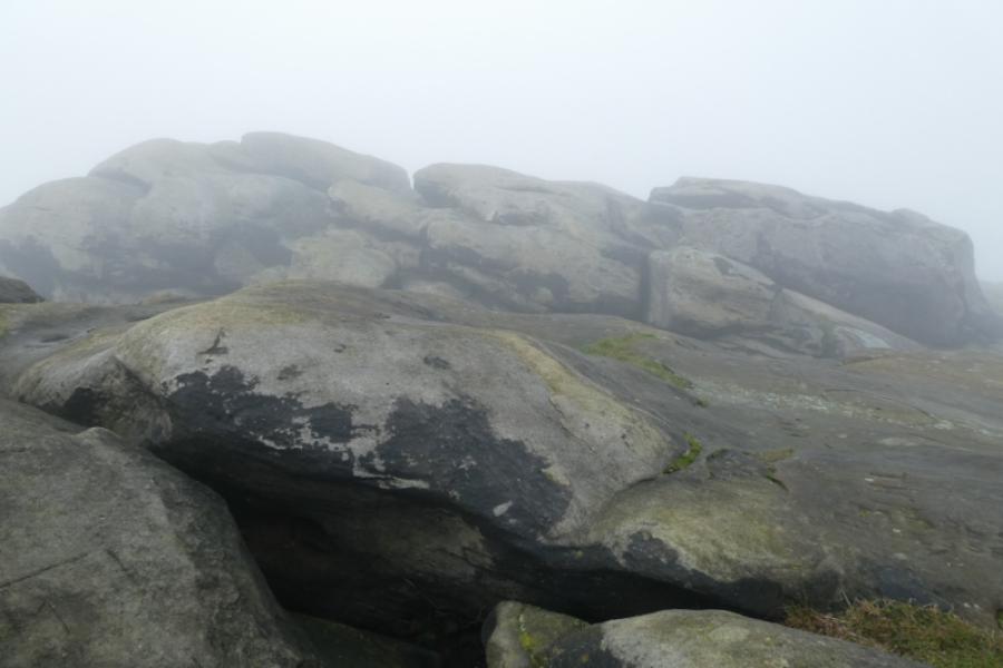
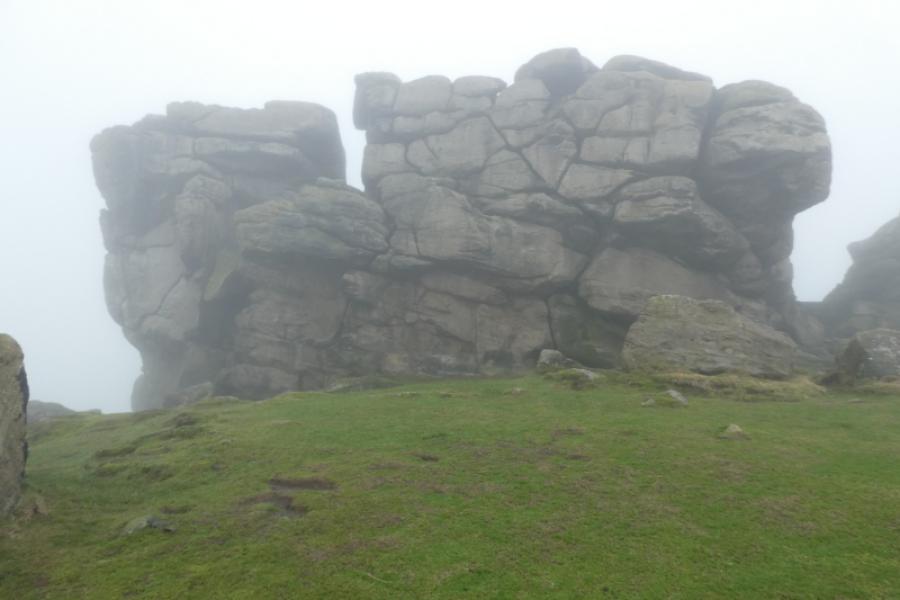
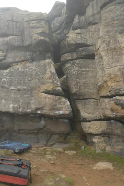
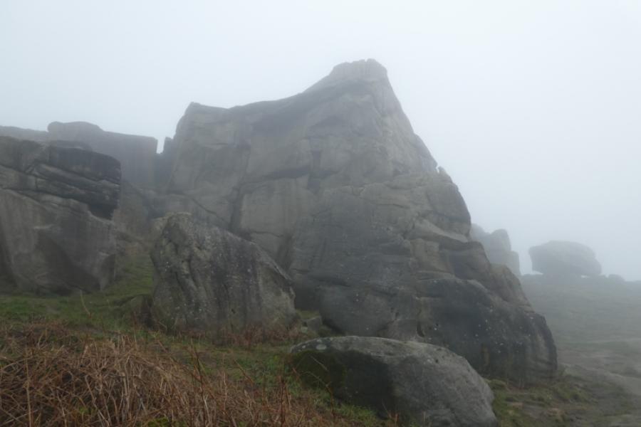
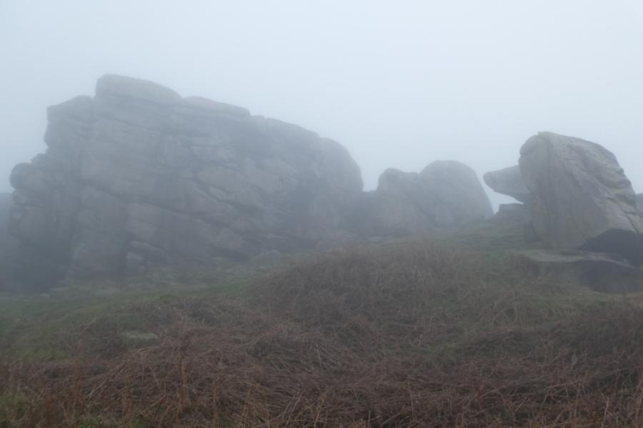
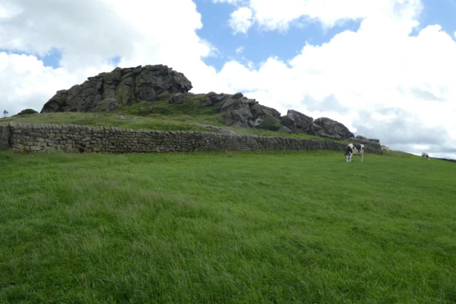
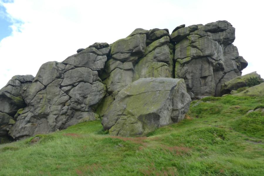
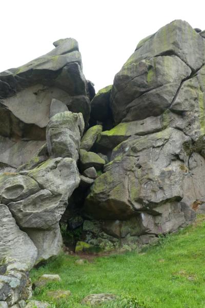
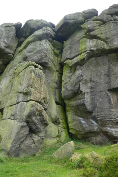
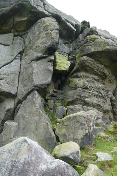
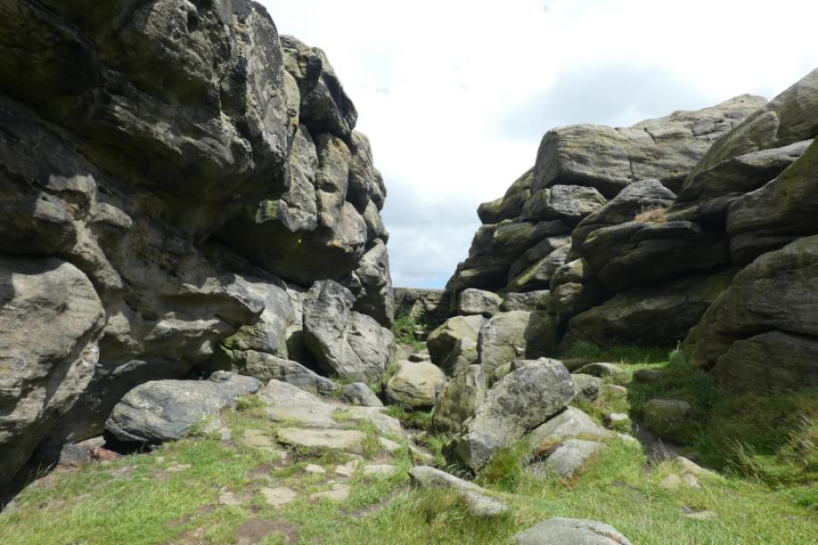
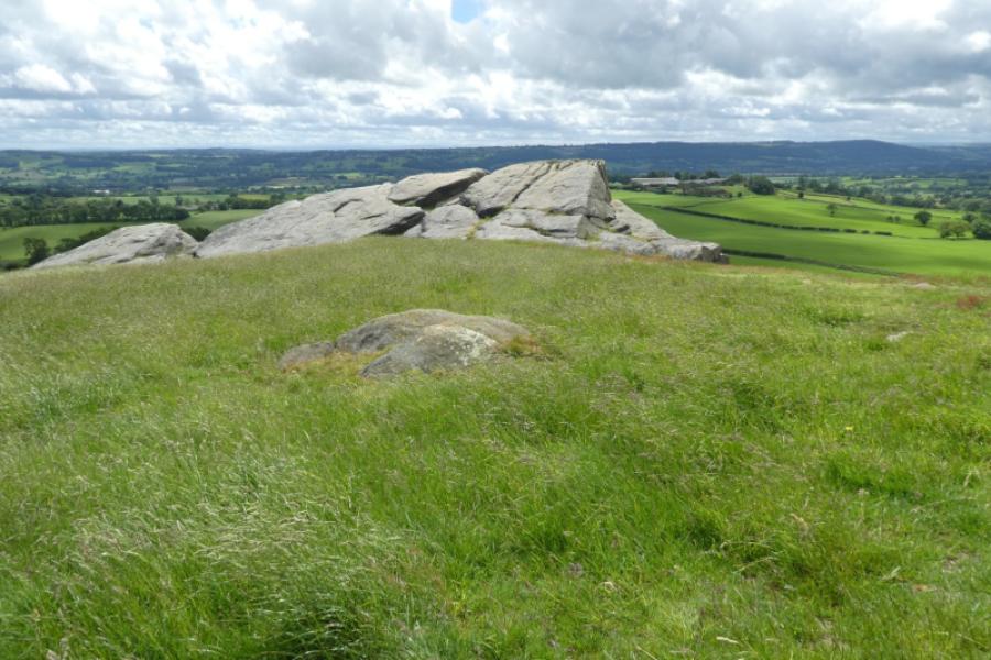
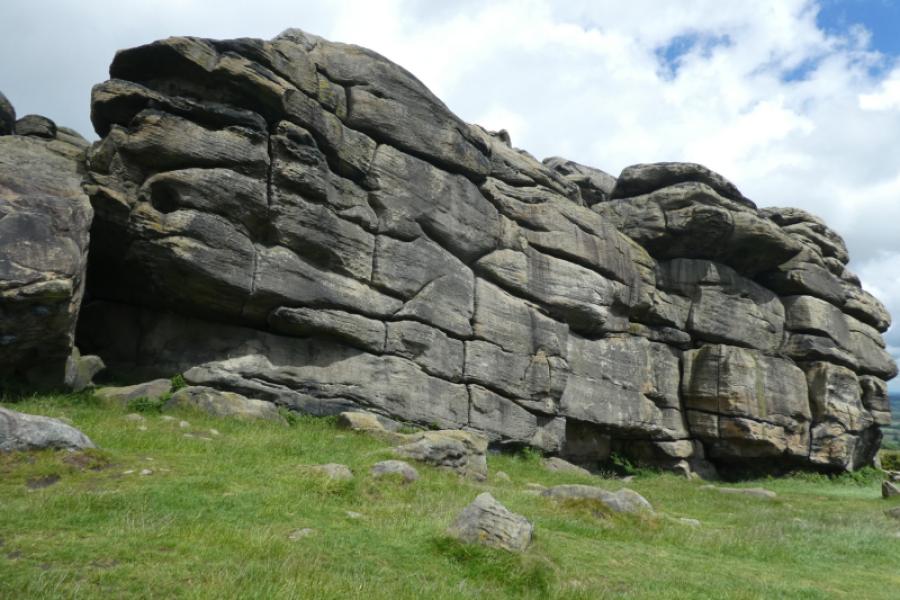
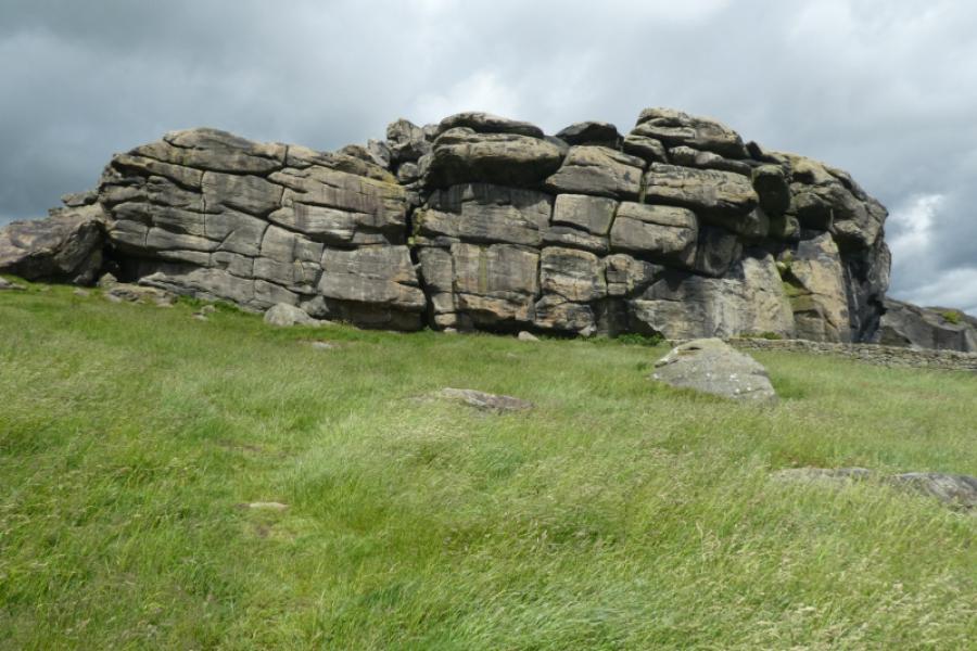
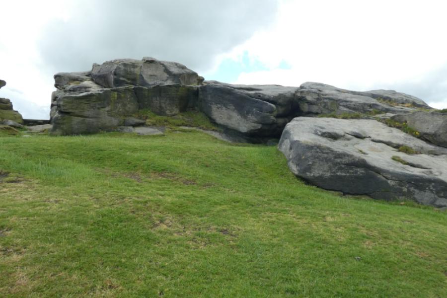
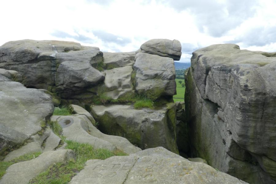
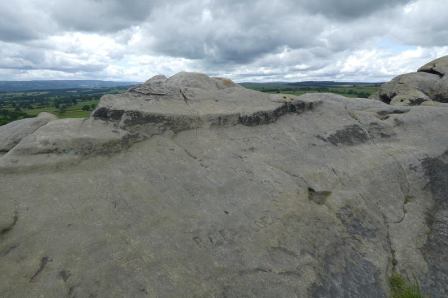
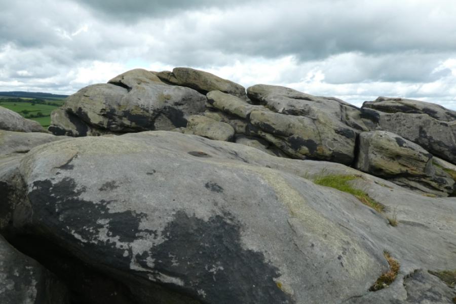
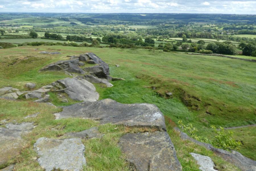
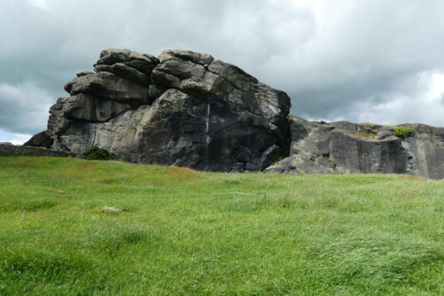
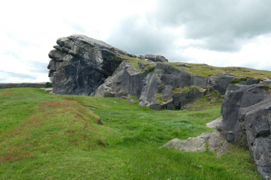
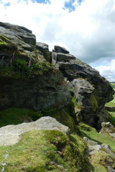
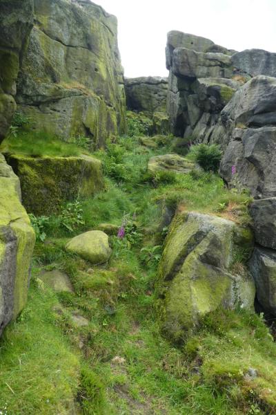
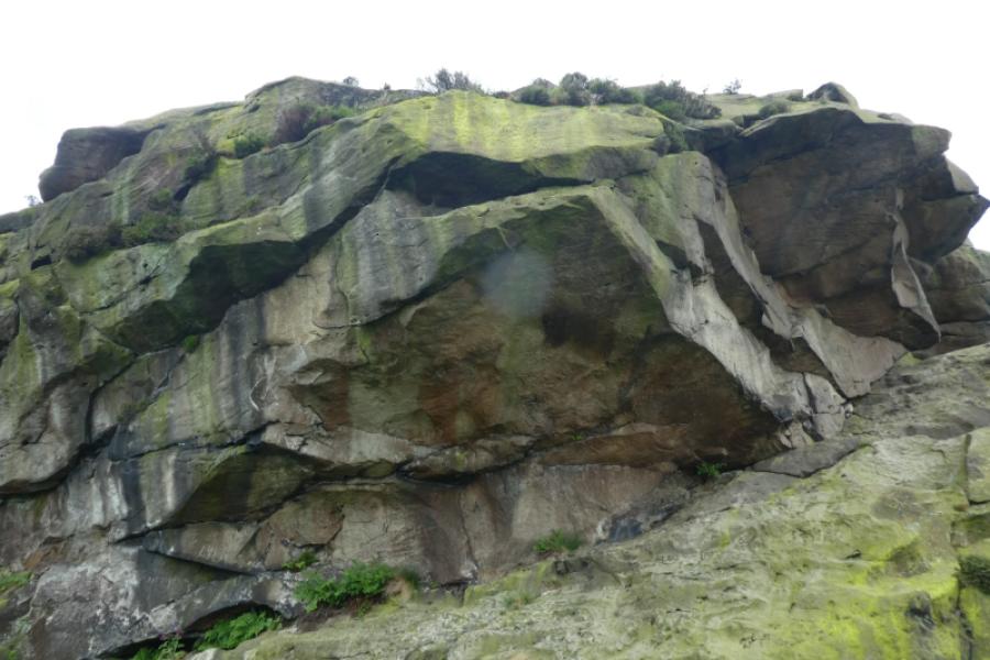
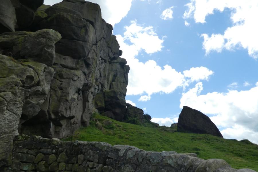
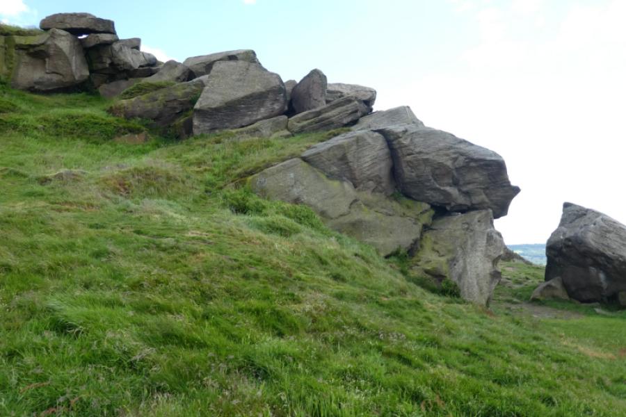
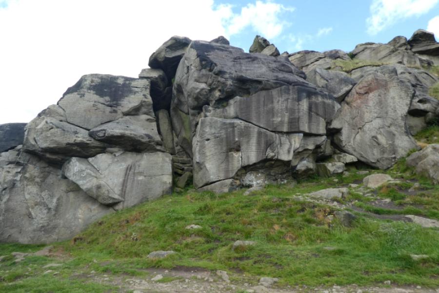
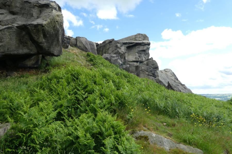
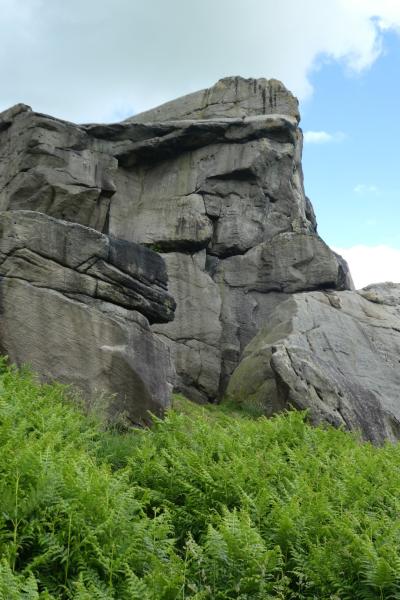
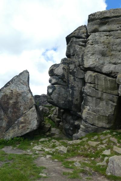
This is a very short and easy walk which should not be rushed as the views are well worth savouring. On good weather days, much rock climbing will be taking place. The crags are cliffs on one side and mainly slabs behind which can be accessed with varying degrees of difficulty but remember that there are sheer drops off the top so children need to be carefully controlled. There are plenty of places to sit for a picnic. From the upper crags, the lower crags look like easy slabby rock but they also have cliffs on their lower side so again care is needed. An easy path goes below their cliffs.
Route
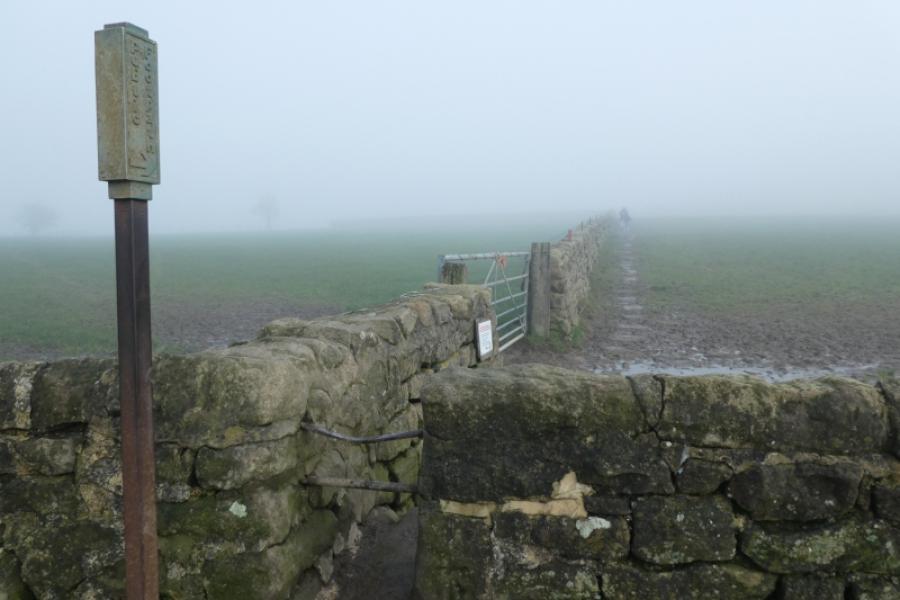
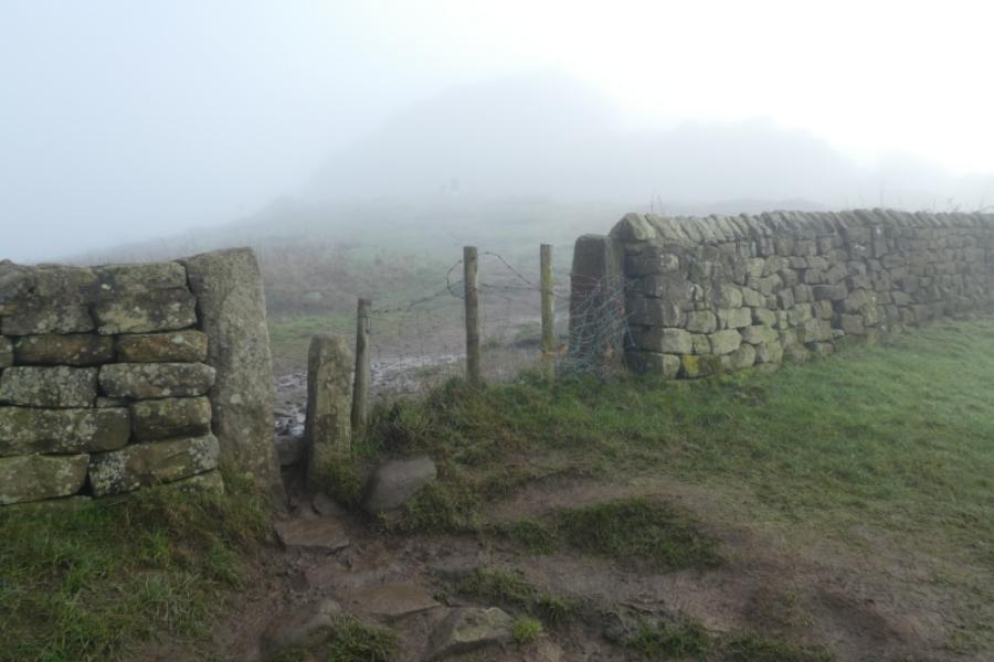
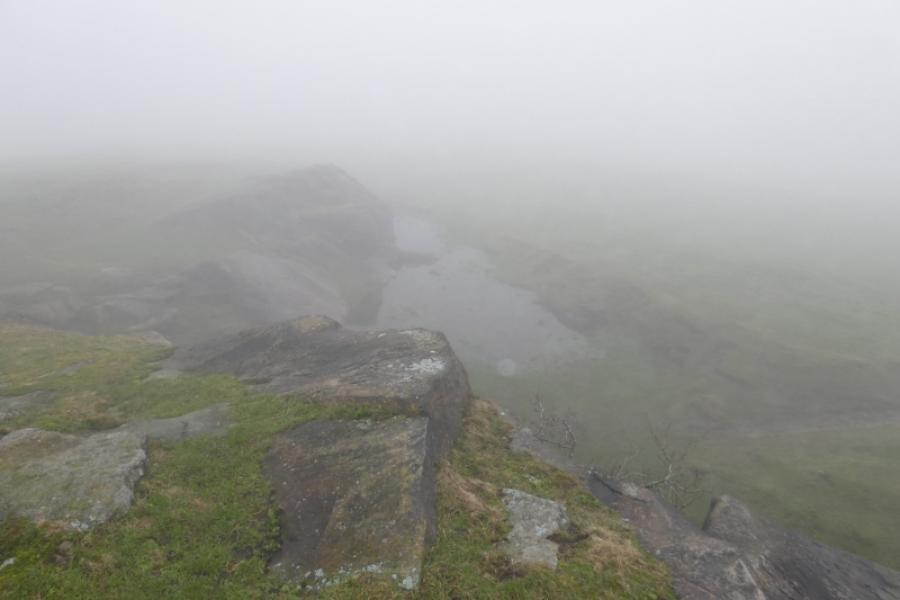
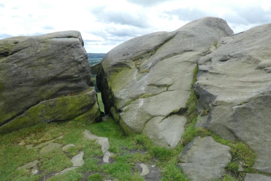
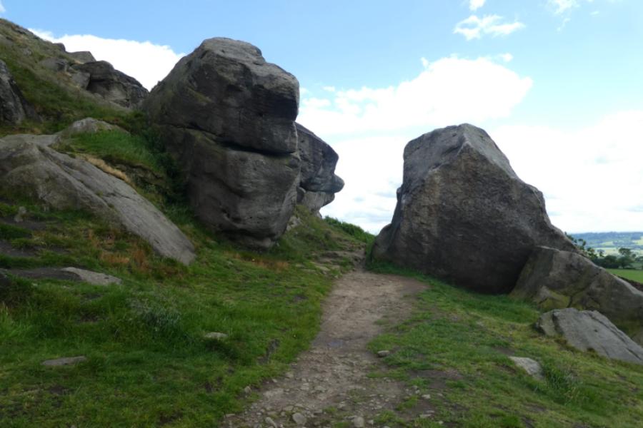
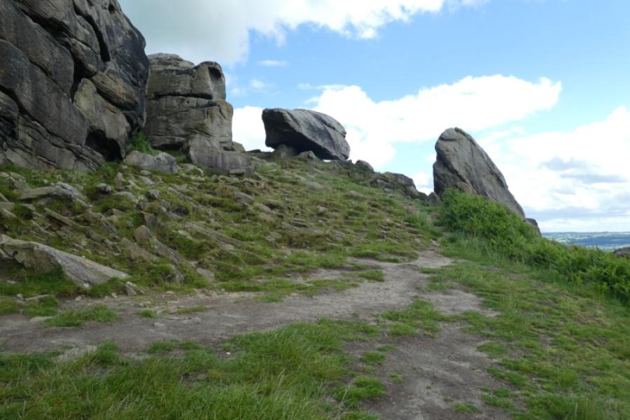
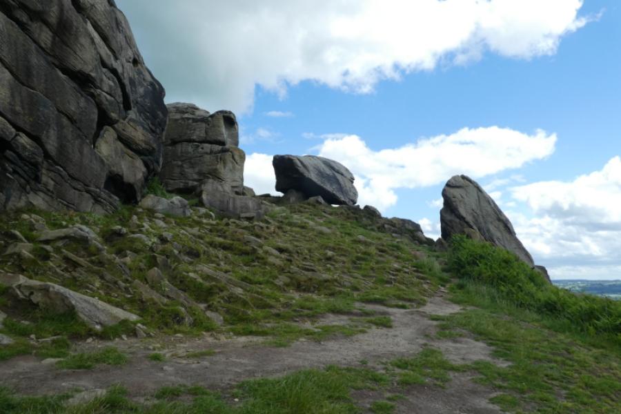
(1) From the parking area, walk up the path by the wall and easily continue up to the crags. It's then just a case of wandering around. There are three ways to get to the back of the crags: follow a path around to the left (west) and over a wall, go over a stile and wall between the western and eastern crags or walk around the eastern end. The lower crags path forks off from the main path up after passing through a wall. That path eventually brings you out below the eastern crag. In winter, a small lake sometimes forms at the eastern end.
(2) Descend by any of the paths used in ascent. Alternatively, there is a path down from the eastern end which leads to the farm on Crag Lane then a short walk along Crag Lane leads back to the start.
Notes
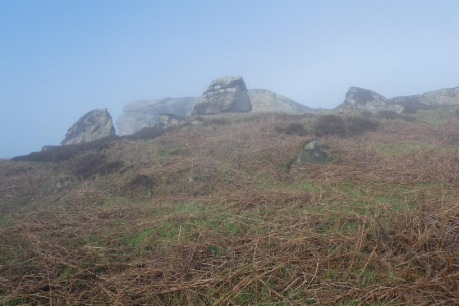
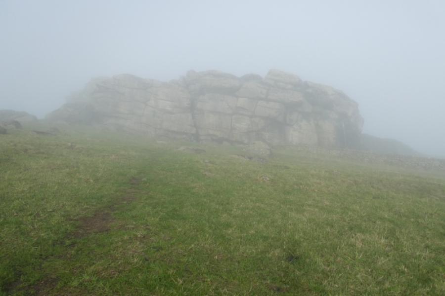
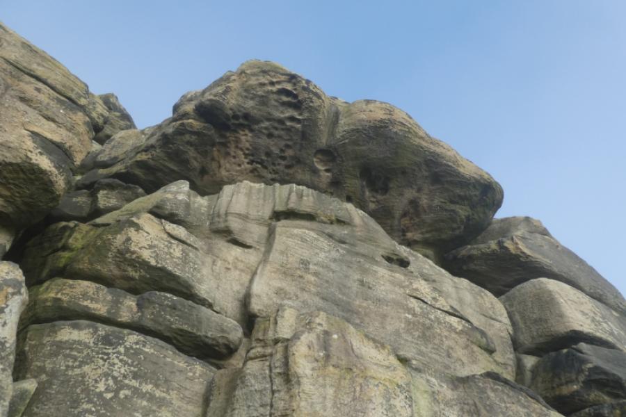
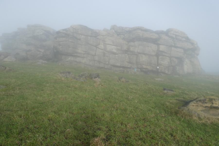
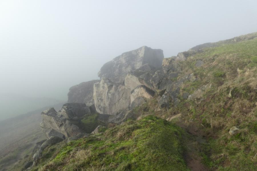
(a) This walk took place on 28th January, 2026 (in mist) and on 12th June, 2026 (in clear weather). Photos from both days are posted.
(b) An alternative route (not checked out) could start in North Rigton and use a path off Crag Lane onto the ridge which leads to the crags. The return could be down Crag Lane.
Photos - Hover over photo for caption. Click on to enlarge. Click on again to reduce.