Get Lost Mountaineering
You are here: England » Humberside and Holderness Coast
Easington Gas Terminal from Spurn Discovery Centre
Easington Gas Terminal from Spurn Discovery Centre
Start/Finish
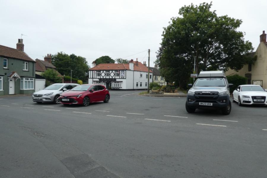
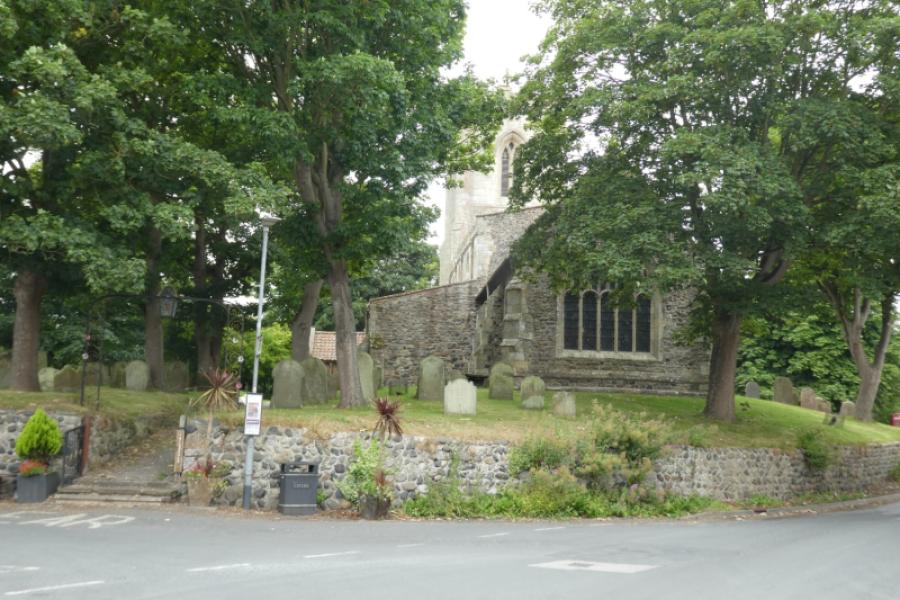
Spurn Discovery Centre car park, HU12 0UH, which is near the village of Kilnsea. (£5 per day in 2026) but this would mean either having two cars or reversing the walk to get back to the car. With one car, it is is best to park in Easington Square (free), by the church, then get the bus to the Spurn Discovery Centre. In 2026, this bus only ran at the weekends in Summer so the timetable needs checking before setting out if using this alternative. This is the route which will be described.
Distance/Time
7 km if starting from Easington Square About 3 hours
Peaks
No peaks as this is essentially a seaside walk.
Landranger 113, 1: 50 000, Grimsby, Louth & Market Rasen.
A map isn't really needed for this walk as navigation is simple and straightforward.
Introduction
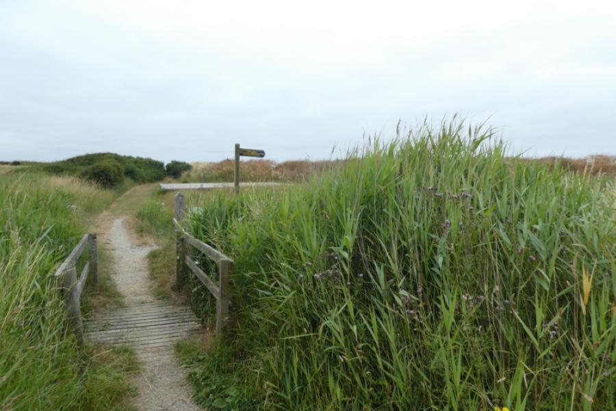
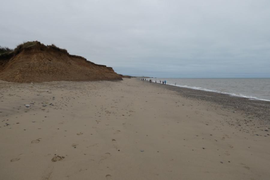
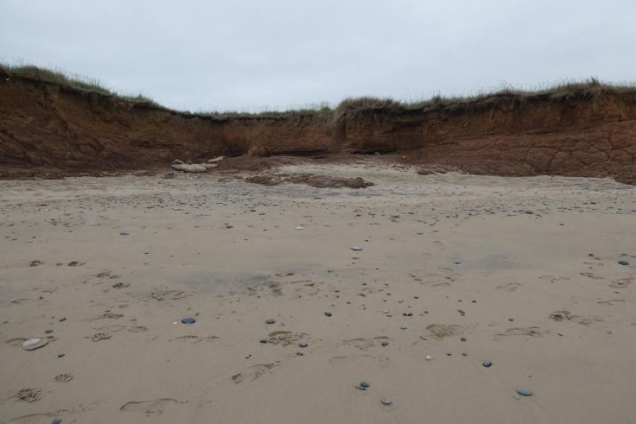
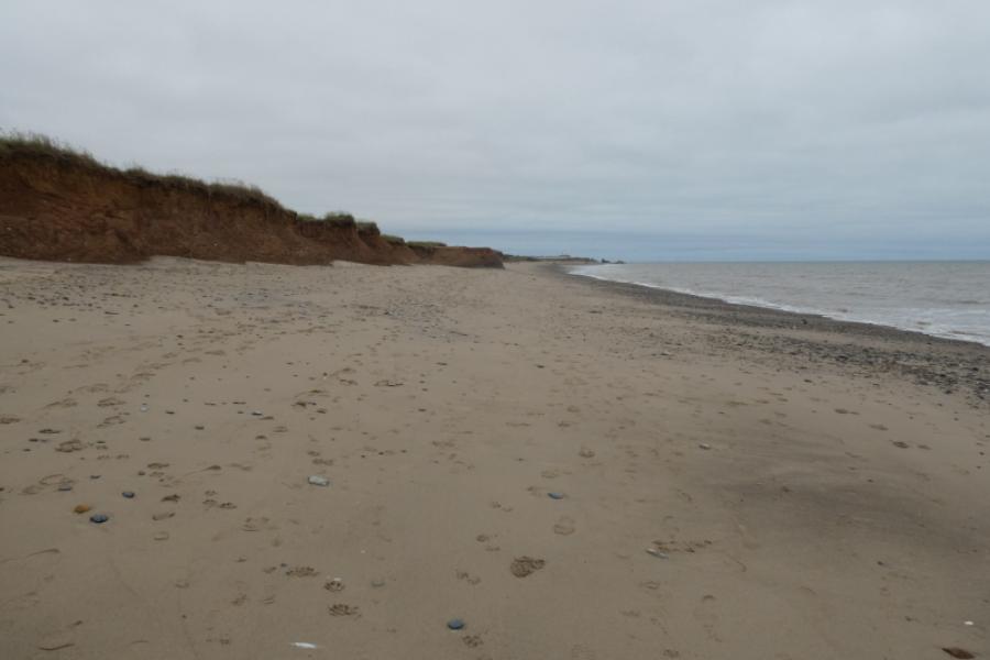
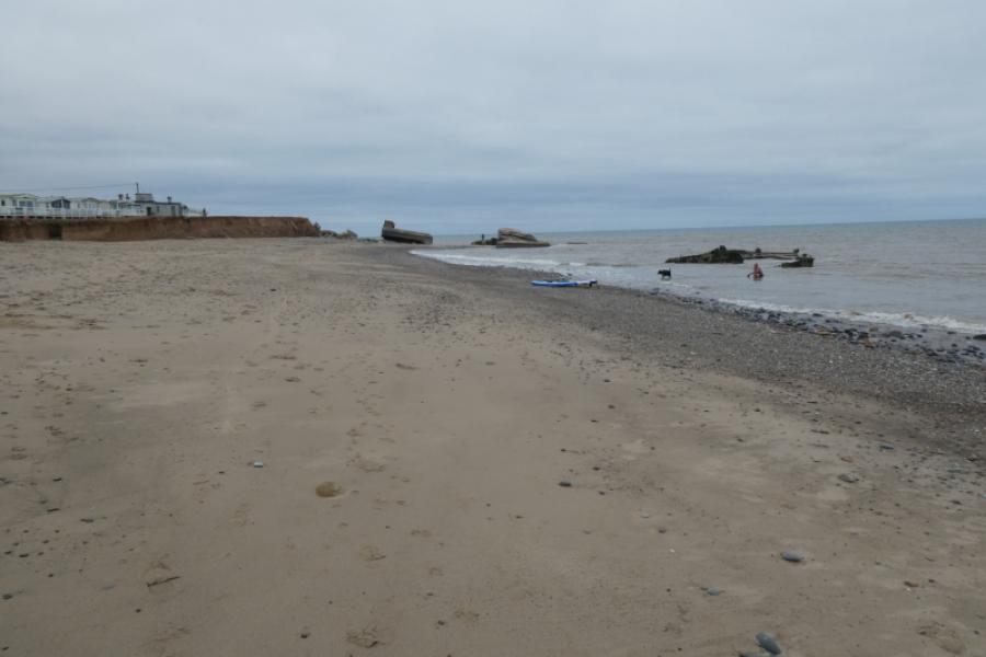
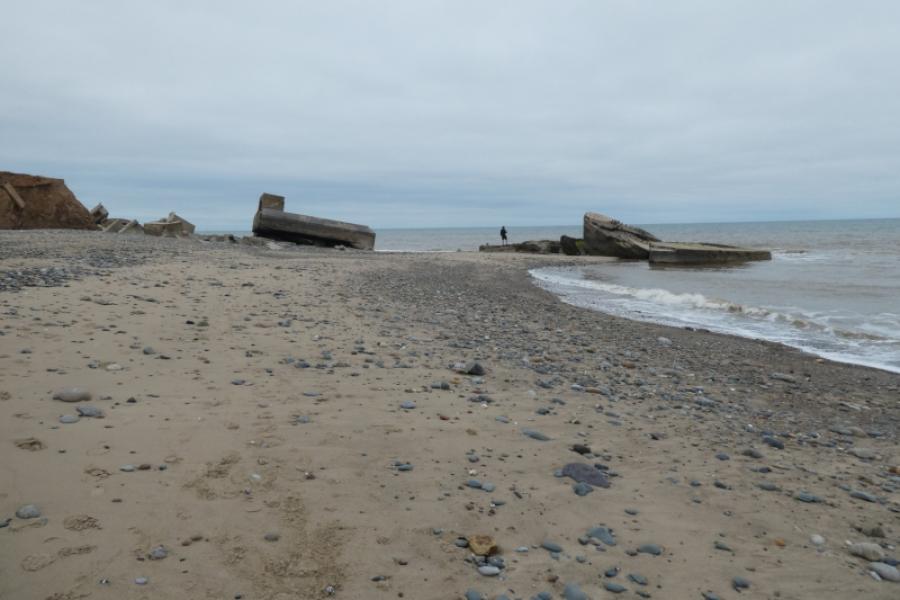
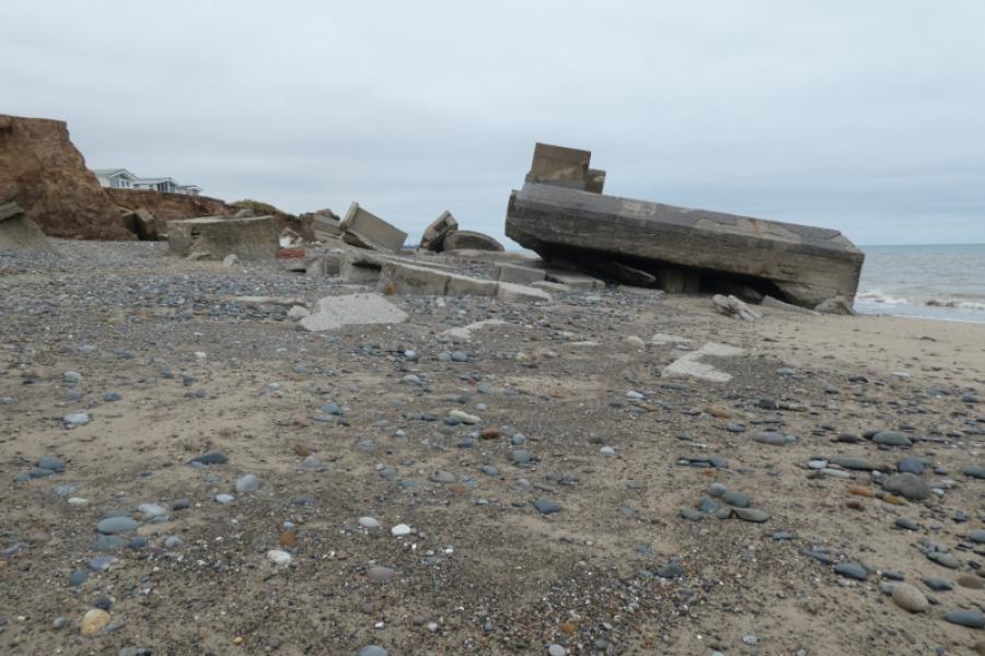
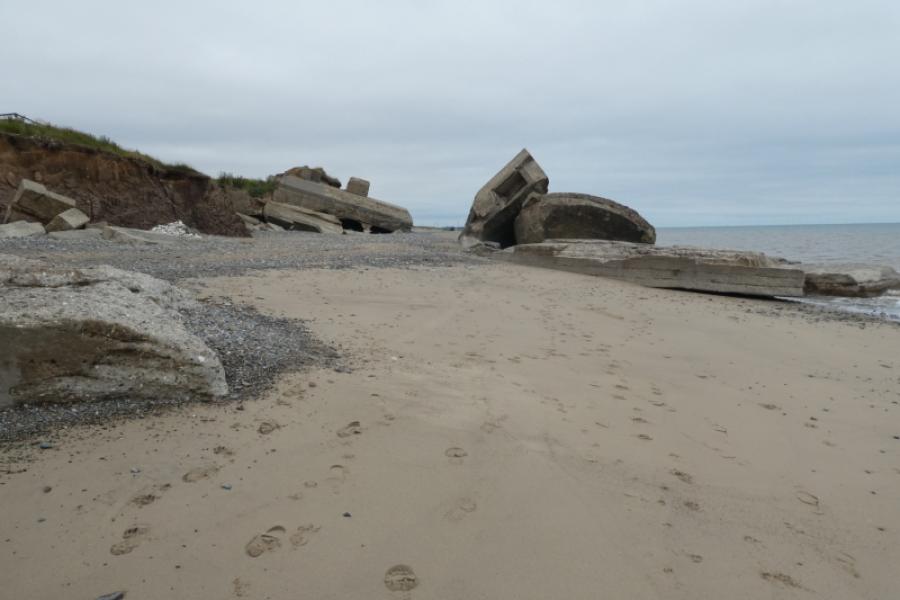
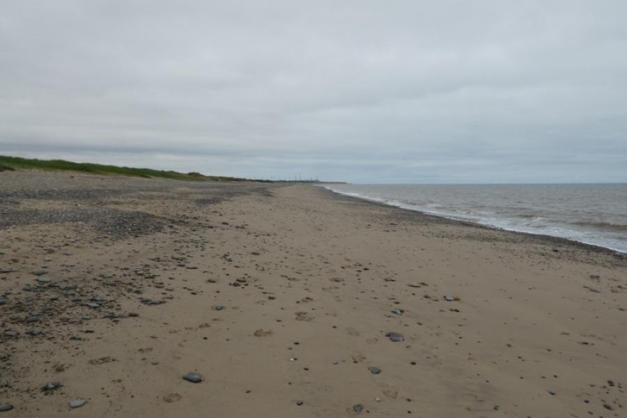
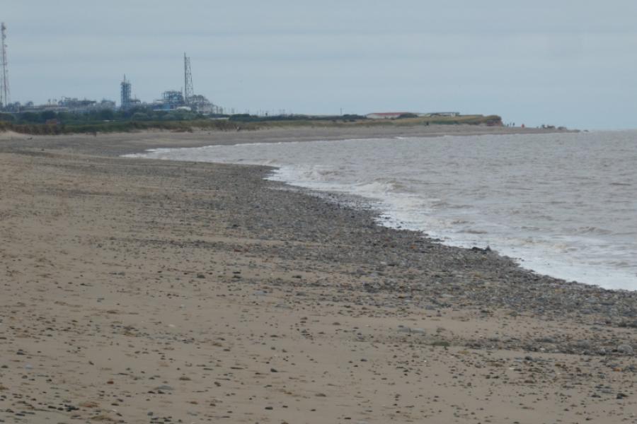
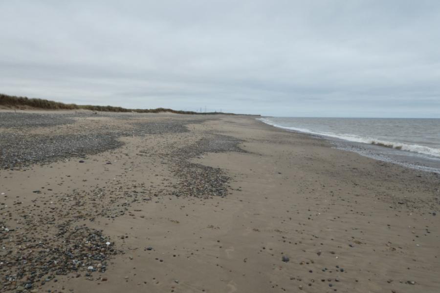
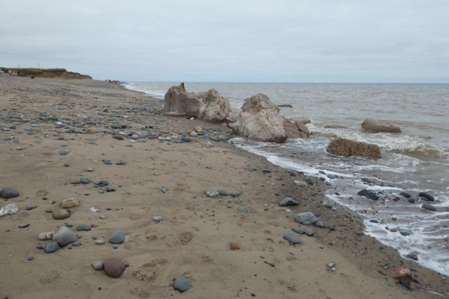
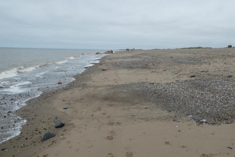
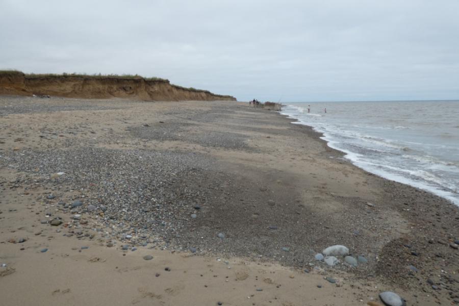
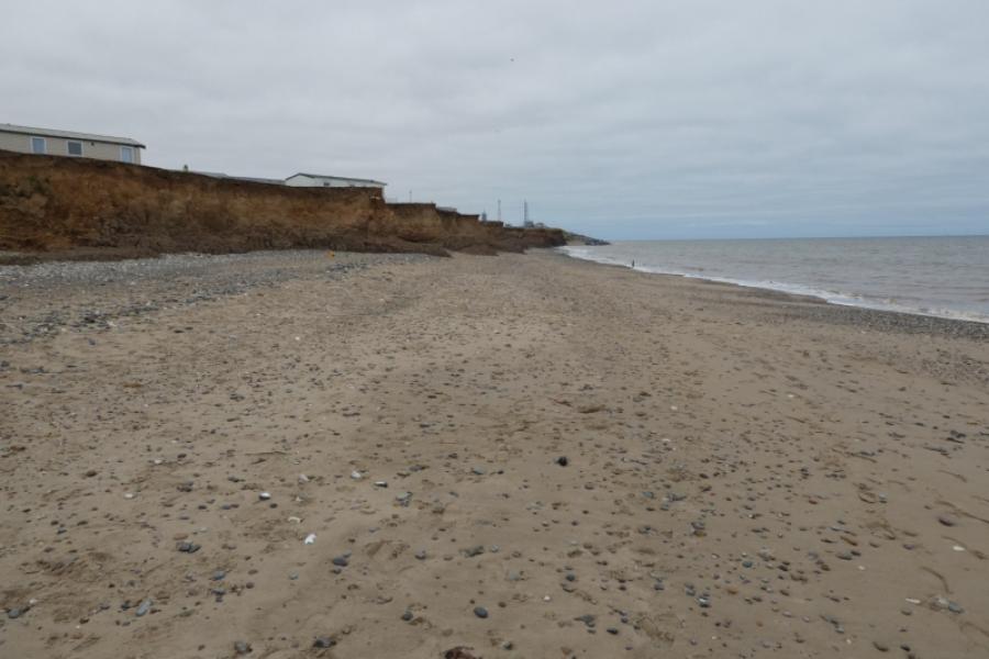
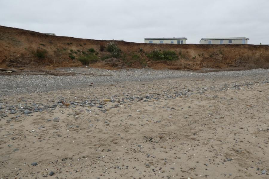
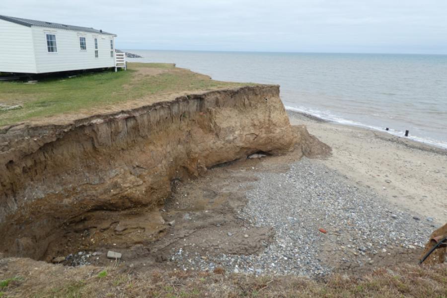
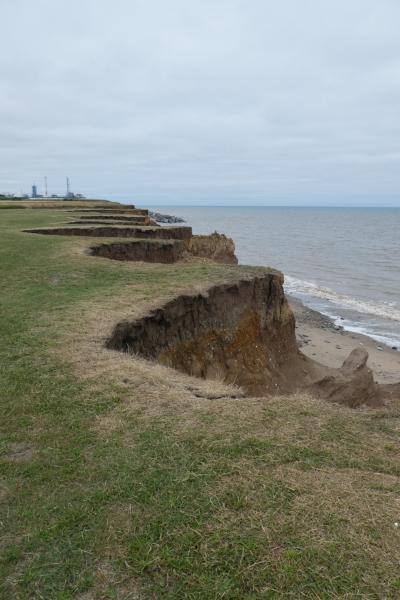
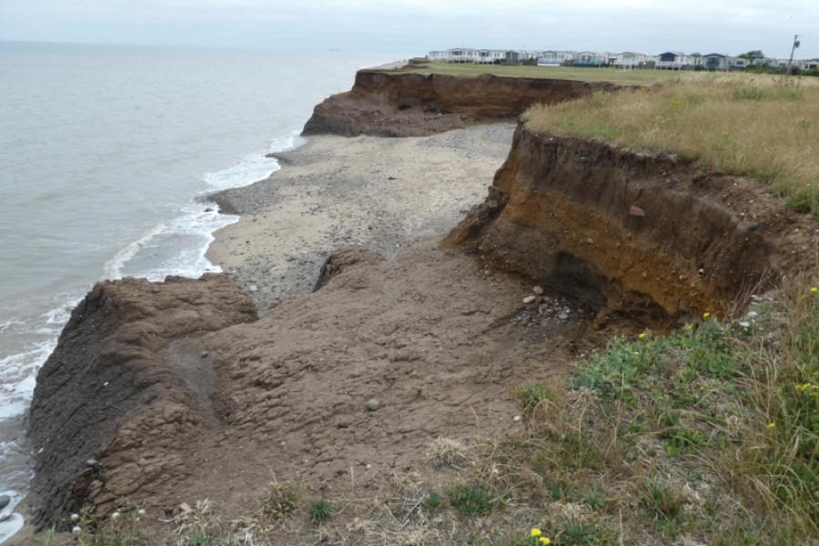
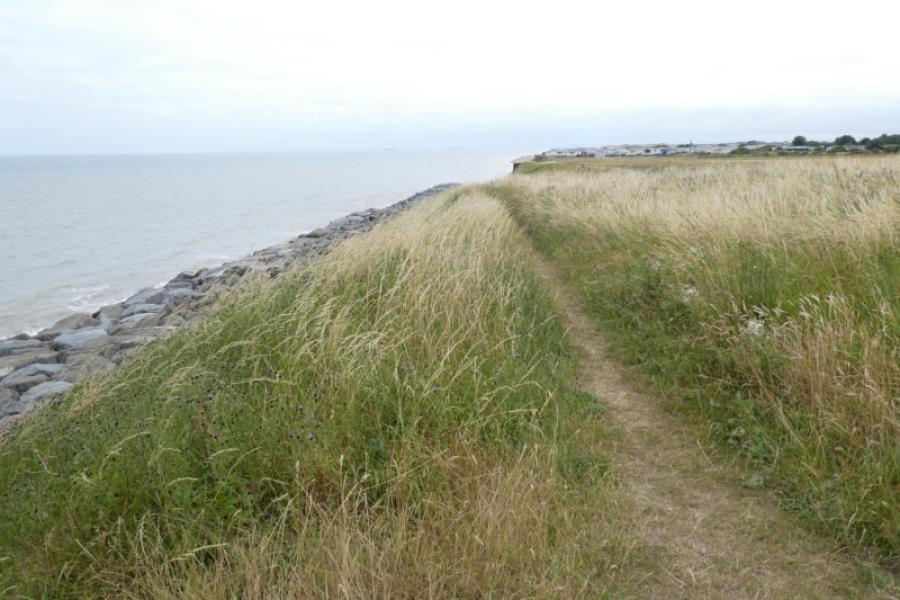
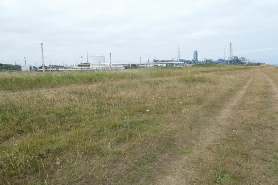
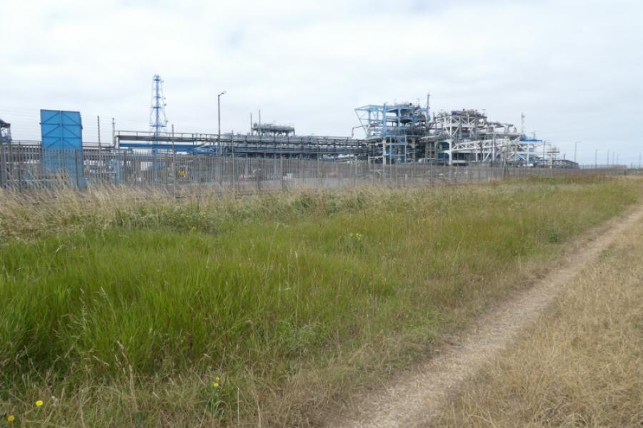
This is a pleasant seaside walk along an easy to walk beach for much of the way although tide times should be checked first as a high tide may prevent walking on the firm part of the beach. Coastal erosion is very obvious on this route especially after the caravan site is passed near Kilnsea. Huge chunks of infra-structure have collapsed onto the beach in places but these are easily avoided. Part of the beach is very popular with sea fishermen but, apart from that, is generally quiet. There are very soft sandy “cliffs” much of the way which are too soft to climb although there are some climbable steps in a few places. The gas terminal is well seen for most of the route. It has been protected against coastal erosion by having many rows of large boulders beneath its cliffs. The coastal erosion has created several minature, sheltered “coves” amongst the cliffs which can be used for sunbathing. Police patrols are frequent at the gas terminal so don't loiter! For those who wish to keep off the beach, there is a path above the beach but this has not been checked out and it seems to go through the dunes which may give harder walking than on the beach.
Route
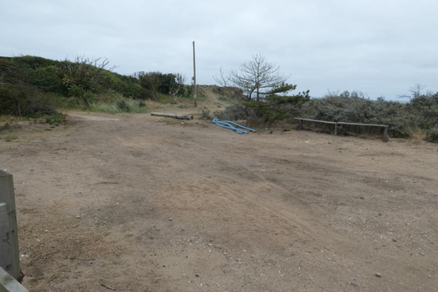
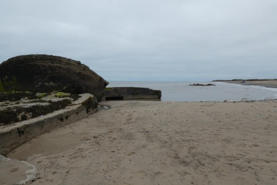
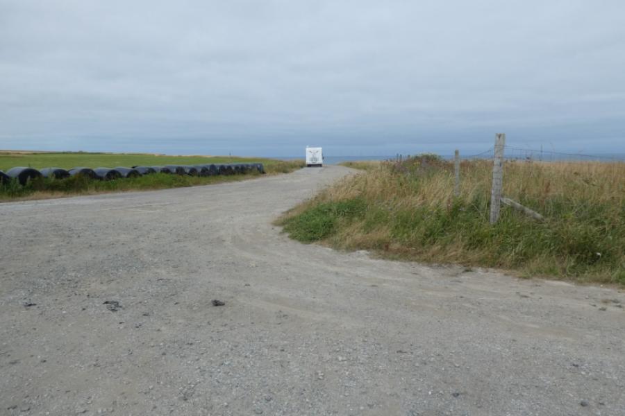
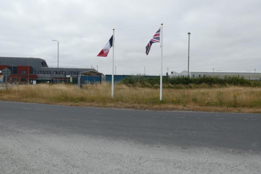
(1) From the Spurn Discovery Centre, walk down the road or take the path to the gate for the beach. Reach the beach, after the “No Dogs” notice then turn left along the sand with the sea on your right. Walk along the sand, soon passing a caravan site. Continue along the beach until the collapsed structures are reached. Pass easily and continue towards what seems to be a point sticking out. Pass an old collapsed slipway then start passing chalets on the cliff top. By now the rocks guarding the gas terminal should be visible so start looking for some rough steps up to the chalets. These are near the end of the chalets so if you have passed them all, you may need to backtrack as the cliffs are too soft to climb without steps. Continue past the chalets on the cliff edge to reach a field where one goes slightly inland to continue. In 2026, a “King Charles III” footpath sign had appeared. Regain the cliff edge where there are now deep cuts into the cliffs. Reach the gas terminal and walk past on its seaward side. After passing, go through an open gate to reach a rough parking area. Turn left to reach the road where two flags were flying in 2026.
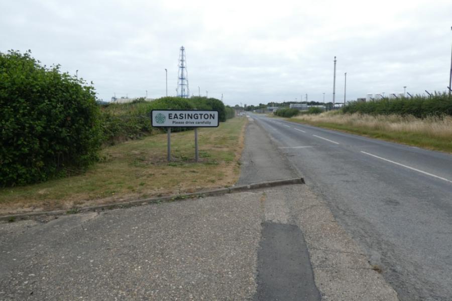
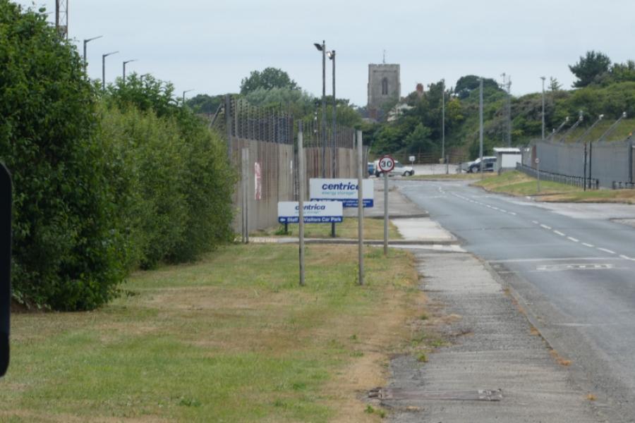
(2) Turn left, south, onto the road and walk past the front of the gas terminal. Easington church will be clearly visible. Continue down the road and follow it back to Easington Square.
Notes
(a) This walk took place on 11th July, 2026.
Photos - Hover over photo for caption. Click on to enlarge. Click on again to reduce.