Get Lost Mountaineering
You are here: England » Humberside and Holderness Coast
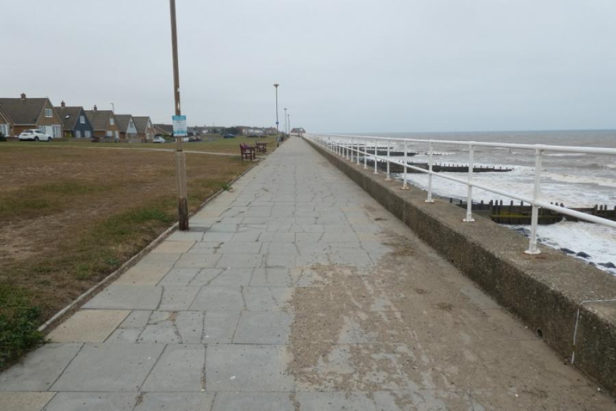
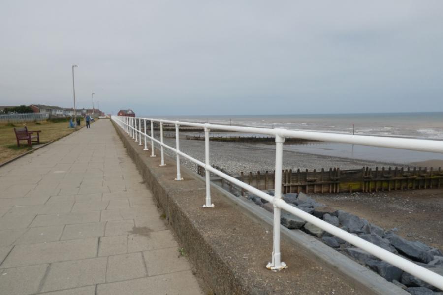
Withernsea Central Promenade from Easington
Withernsea Central Promenade from Easington
Start/Finish
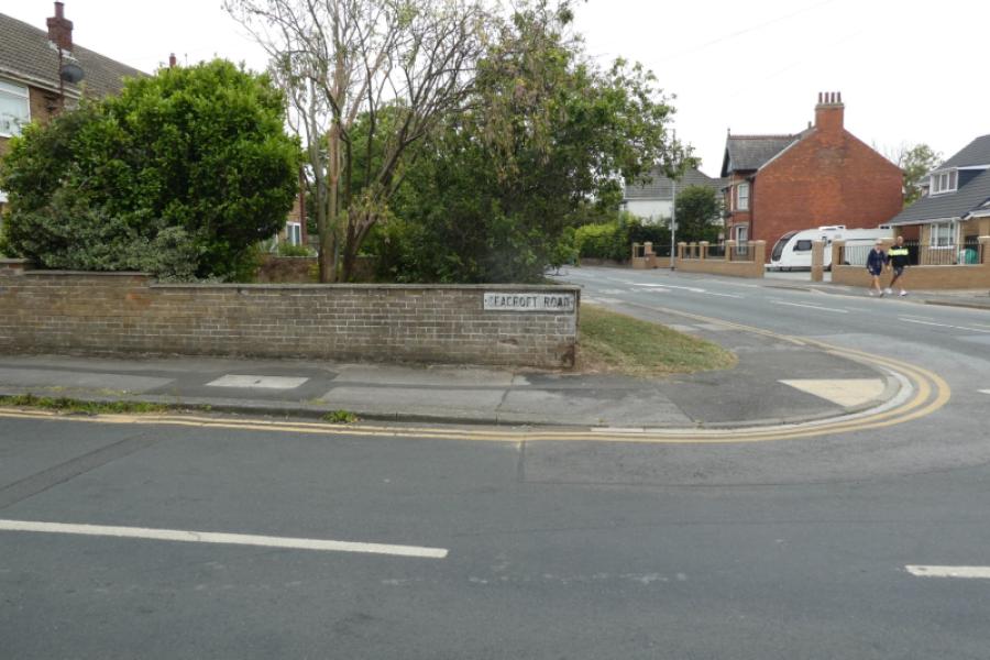
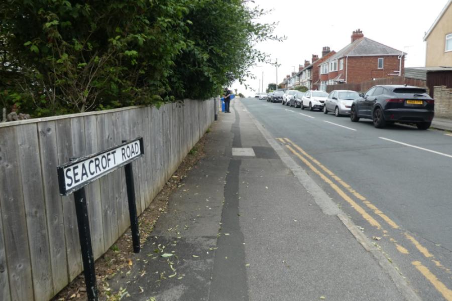
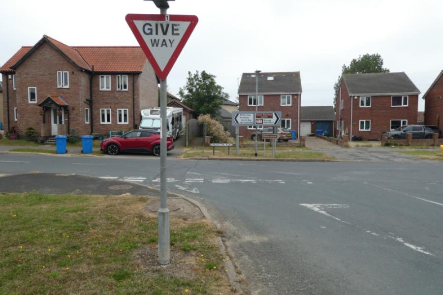
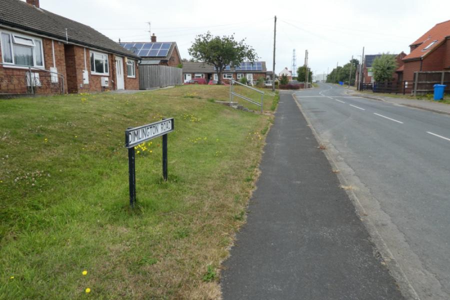
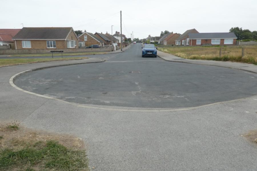
If only one car is available then start at the T junction of Dimlington Road where the bus from Withernsea can drop you off. This will mean walking to the gas terminal which overlaps by about 1 km with the walk from Spurn Discovery Centre to Easington. If two cars are being used or you have a friendly driver then you can start at the rough car park just past the gas terminal. The route is described from the T junction. With one car only, find the Tesco superstore then exit heading out of Withernsea towards Patrington. About 100 m after the Tesco roundabout, turn left into Seacroft Road. Drive to the end and turn right onto South promenade where there is usally plenty of street parking. To catch the bus, walk back to the main road and turn right for about 30 m. It is much easier to park on the South promenade than near the Central Promenade even though this may mean doubling back for 1 km from the Central Promenade.
Distance/Time
10 km if starting from the T junction About 3 - 4 hours
Peaks
No peaks as this is essentially a seaside walk.
Landranger 113, 1: 50 000, Grimsby, Louth & Market Rasen.
Landranger 107, Kingston Upon Hull
A map isn't really needed for this walk as navigation is simple and straightforward.
Introduction
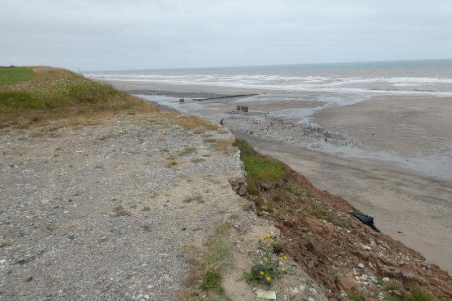
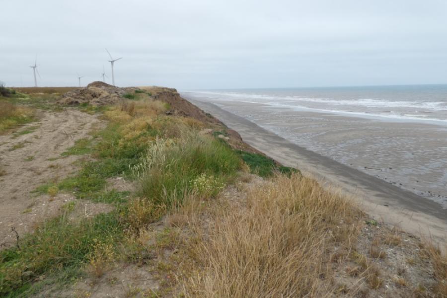
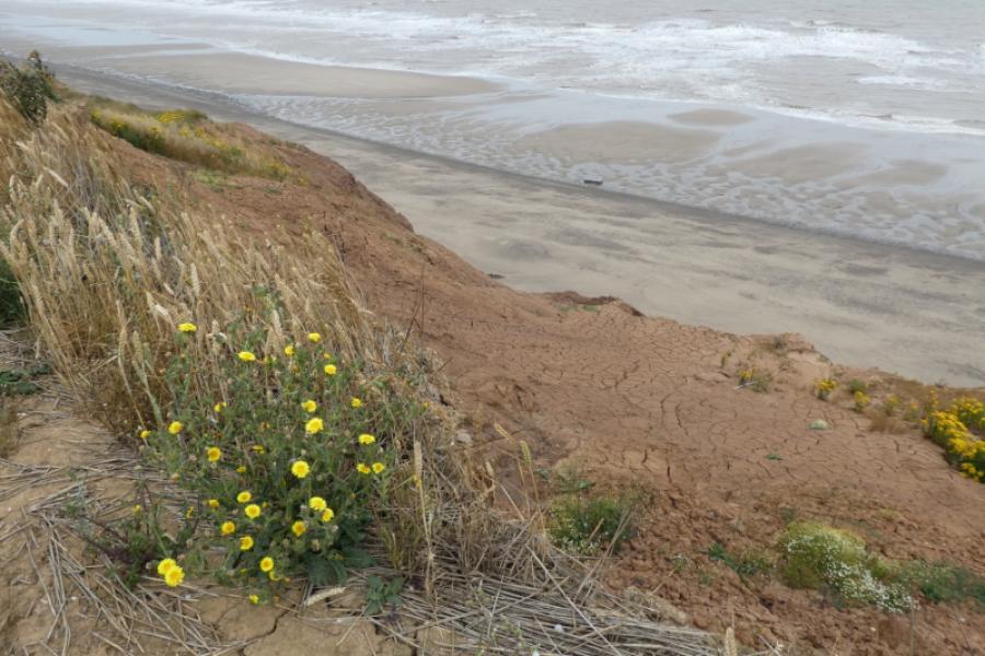
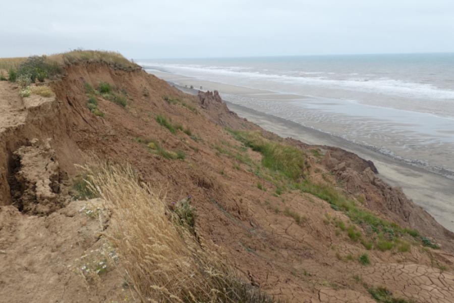
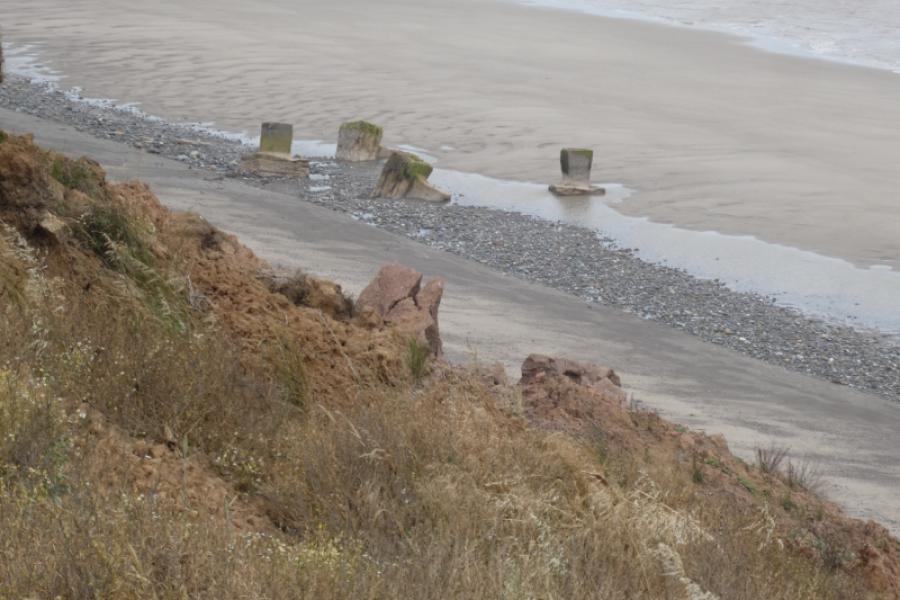
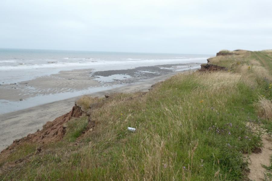
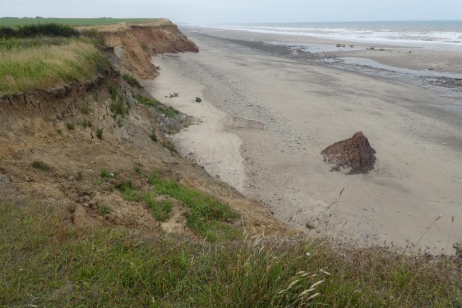
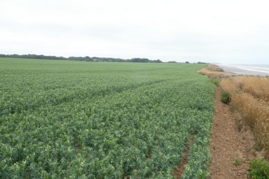
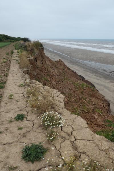
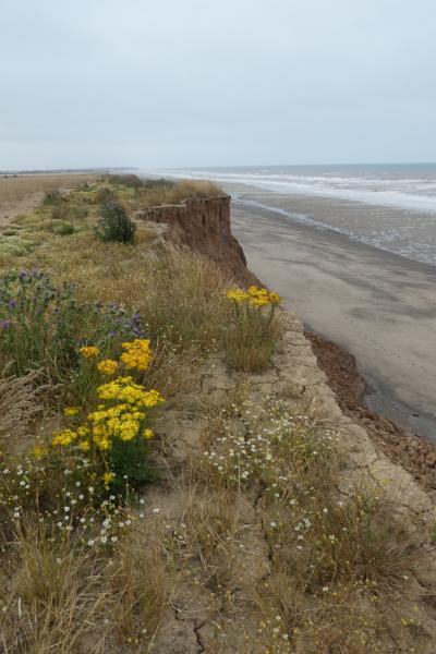
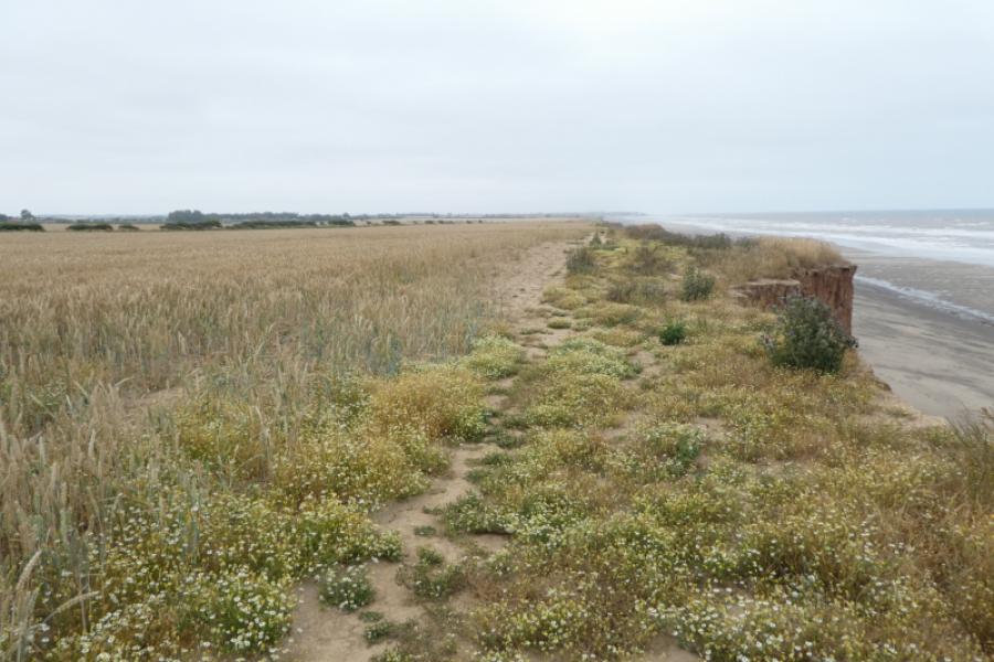
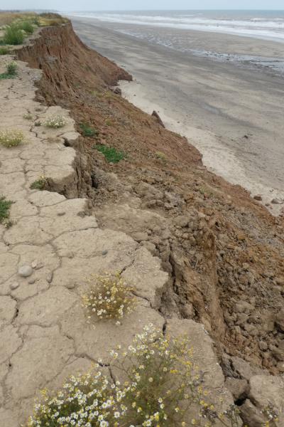
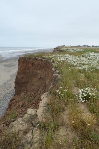
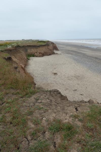
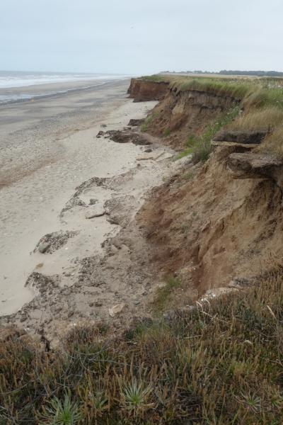
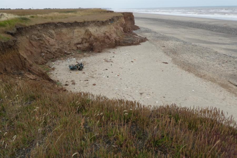
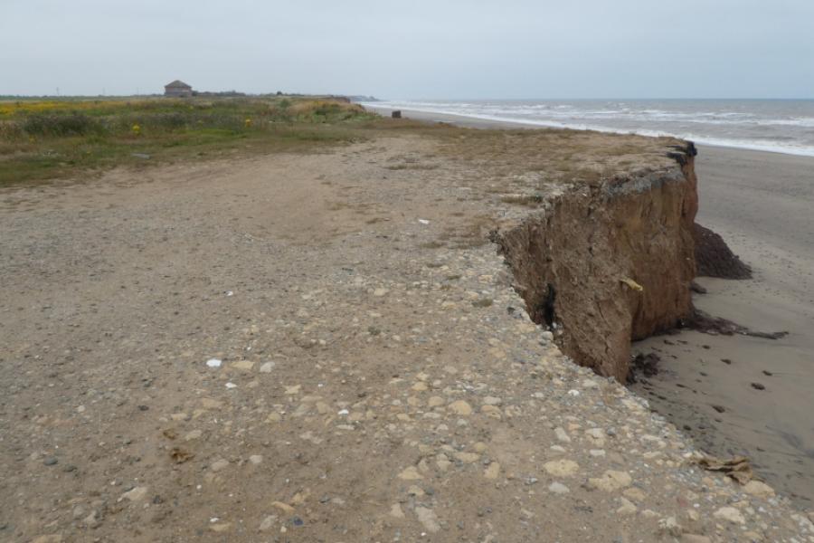
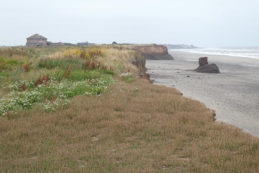
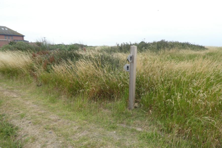
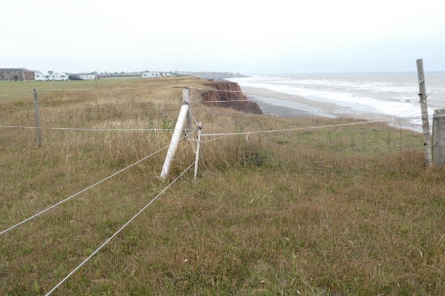
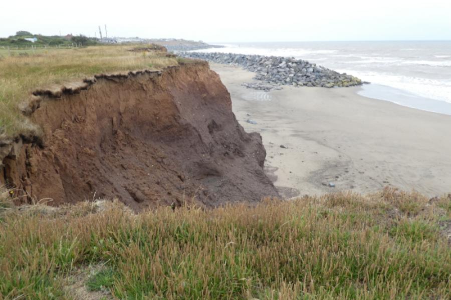
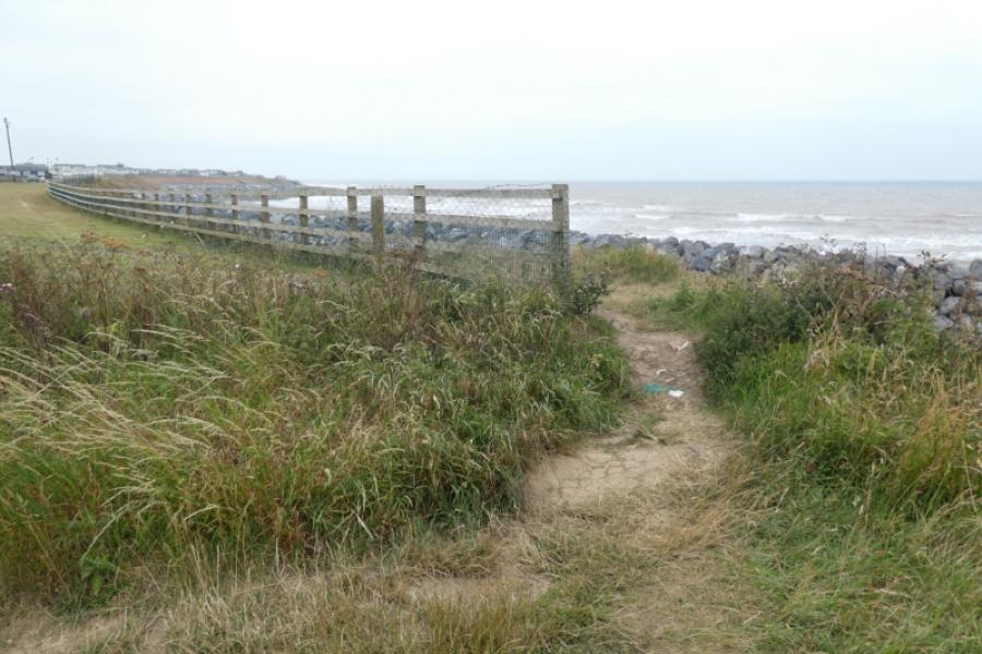
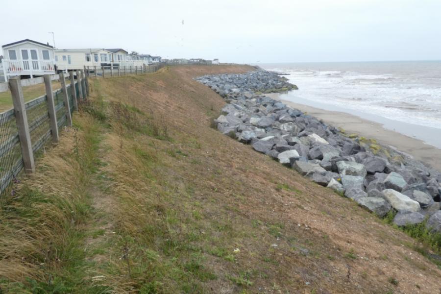
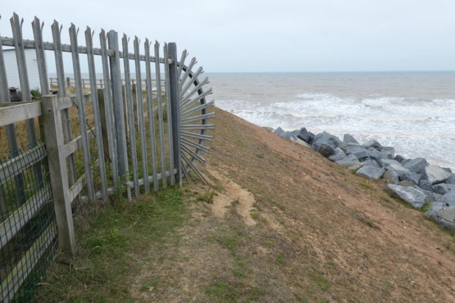
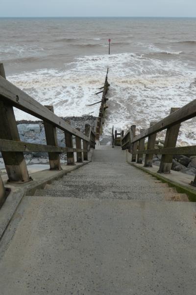
This an almost level walk although the ground can be rough in places. The view from the cliffs is very similar throughout with few points of interest apart from coastal erosion and large rocks on the shoreline. There are few easy routes down the cliffs to the shore as the cliffs are steep and very crumbly. The coastal erosion is starting to create some new bays. Much of the route follows the King Charles III Coastal Path but this is diverted onto the road at the house near Intack. The path does not return to the coastline until the start of South Promenade so this route continues, unofficially, along the cliff tops which means a few easy fences have to be negotiated and the going is rough in places.
Route
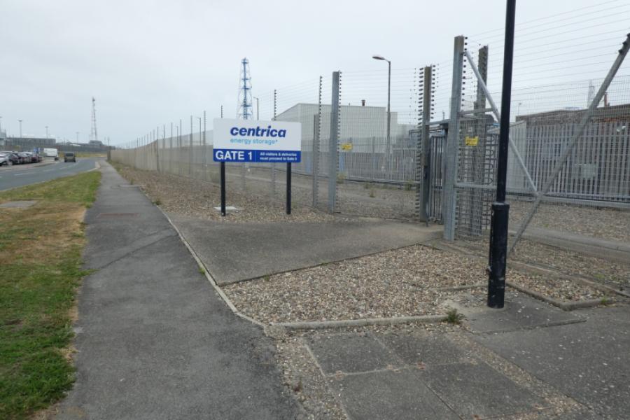
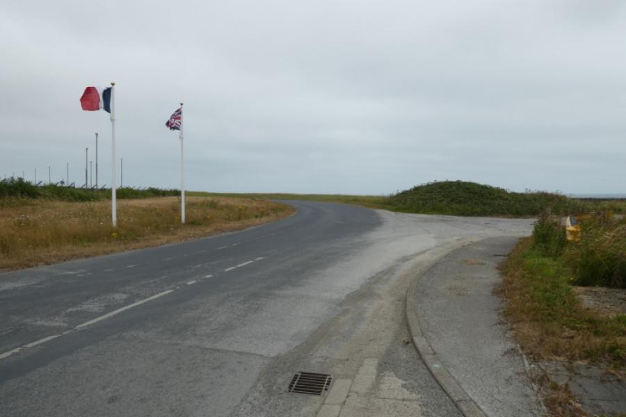
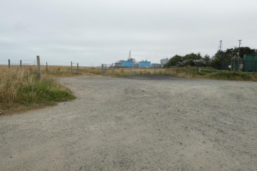
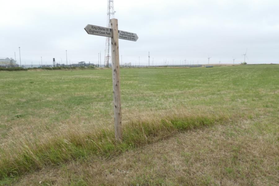
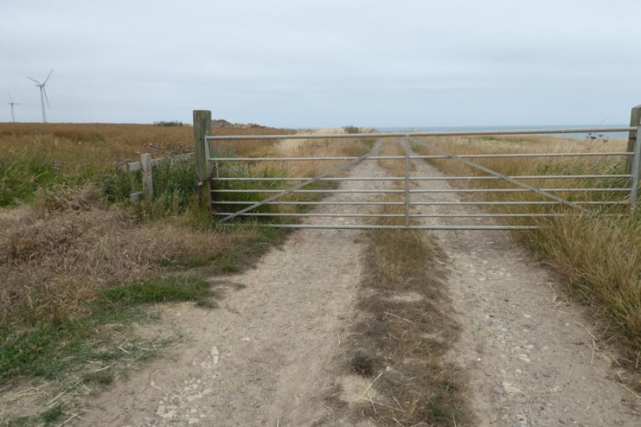
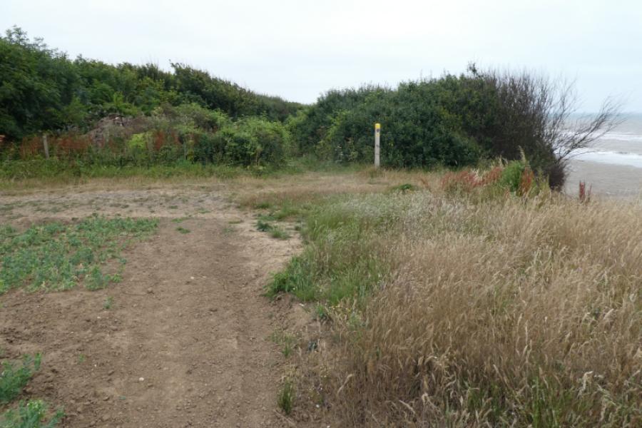
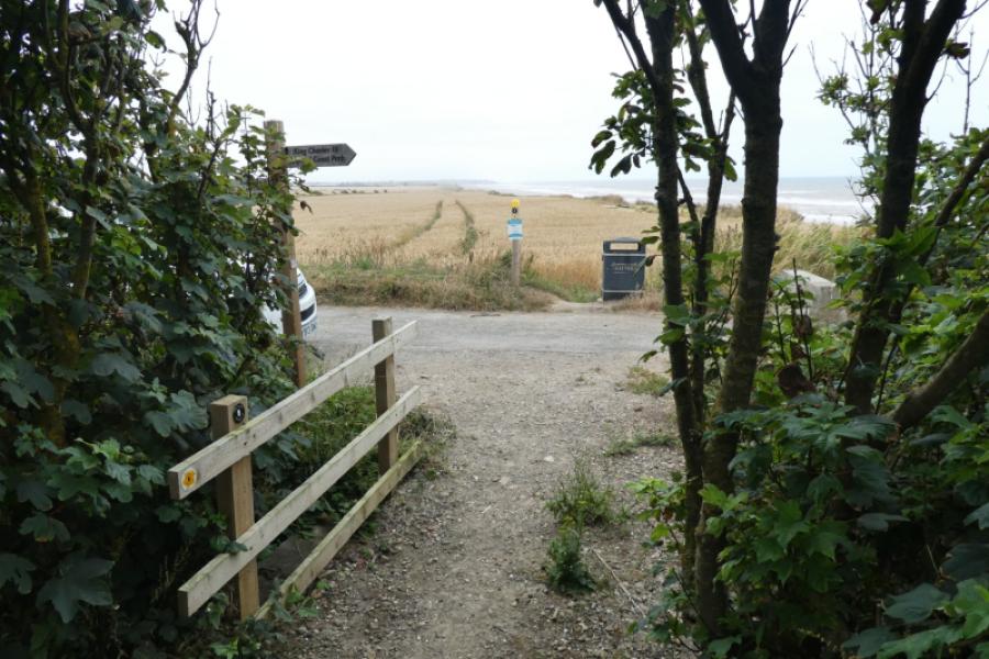
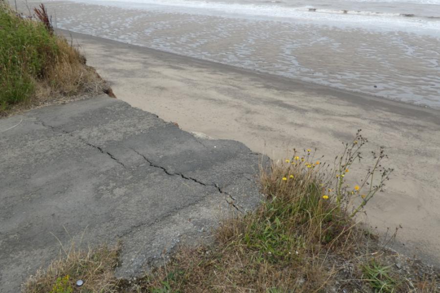
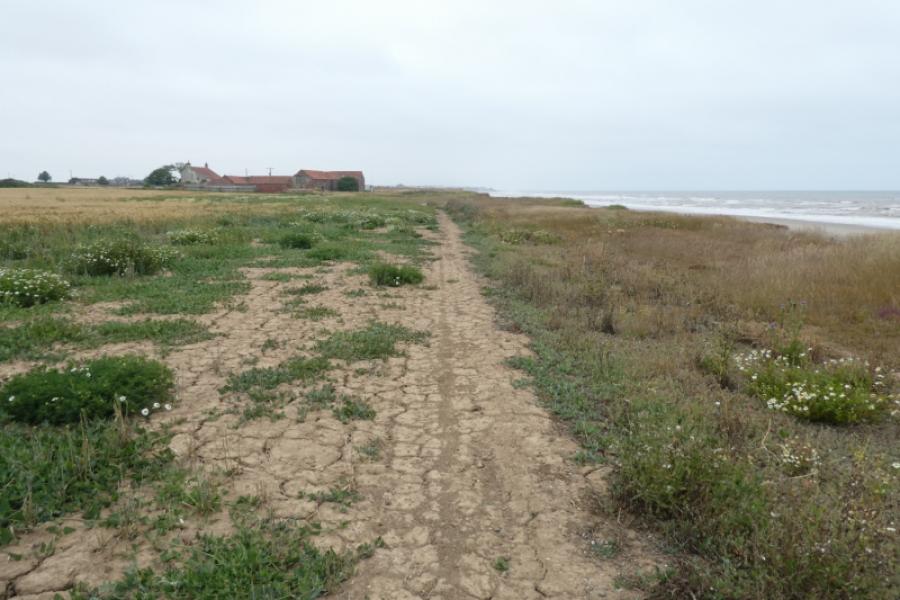
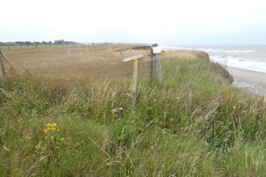
(1) From the Dimlington Road T junction, go left, away from Easington. Soon pass the Centrica gas terminal, regularly patrolled by Police cars. Leave the road, by two flags, to reach a rough car park where the walk along the cliff tops starts. There is a sign in the field nearby. Walk along a path or the occasional track for about 5 km until reaching the road from Holmpton. Note that this road goes over the cliff!
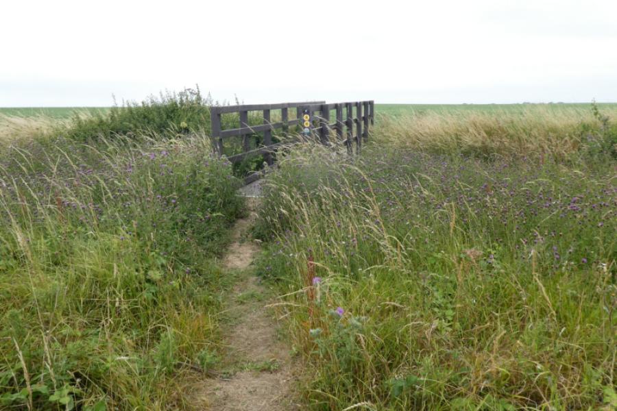
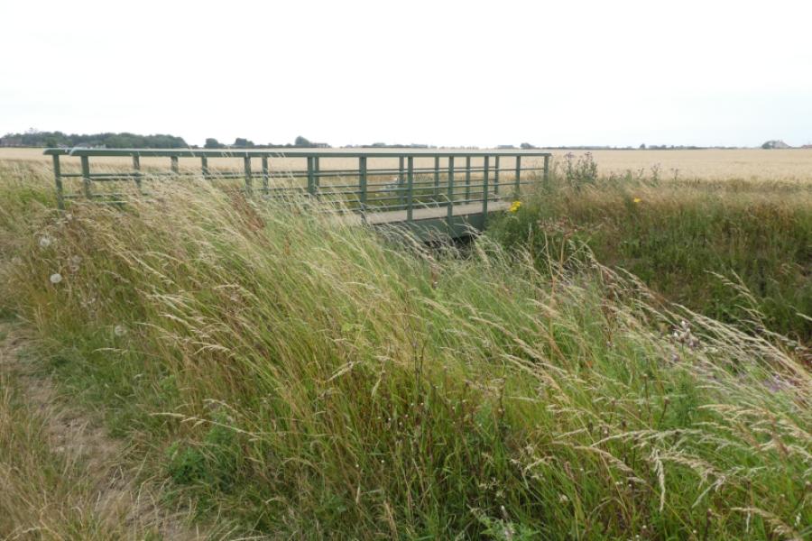
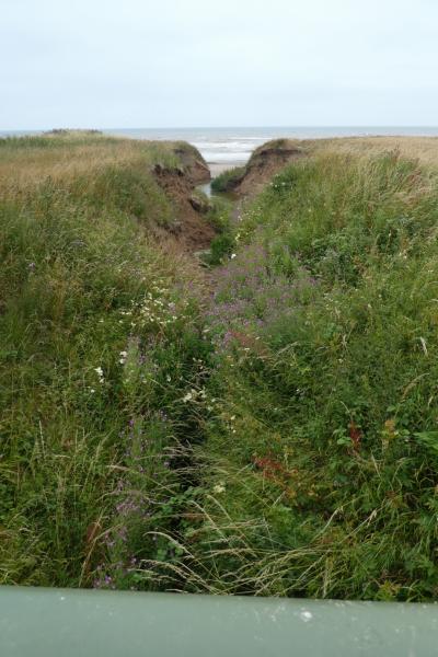
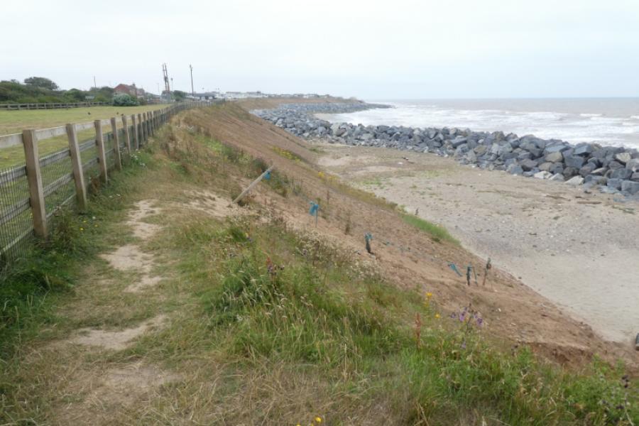
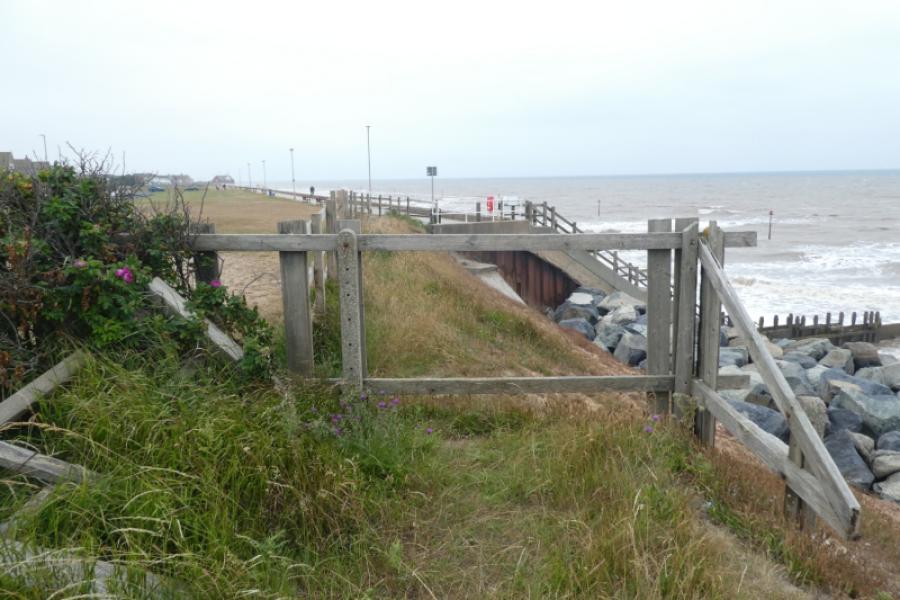
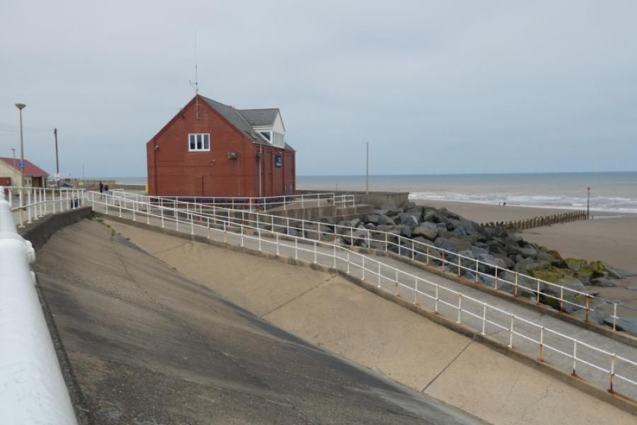
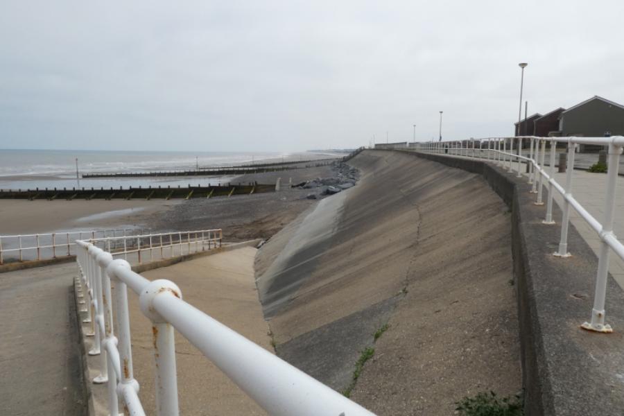
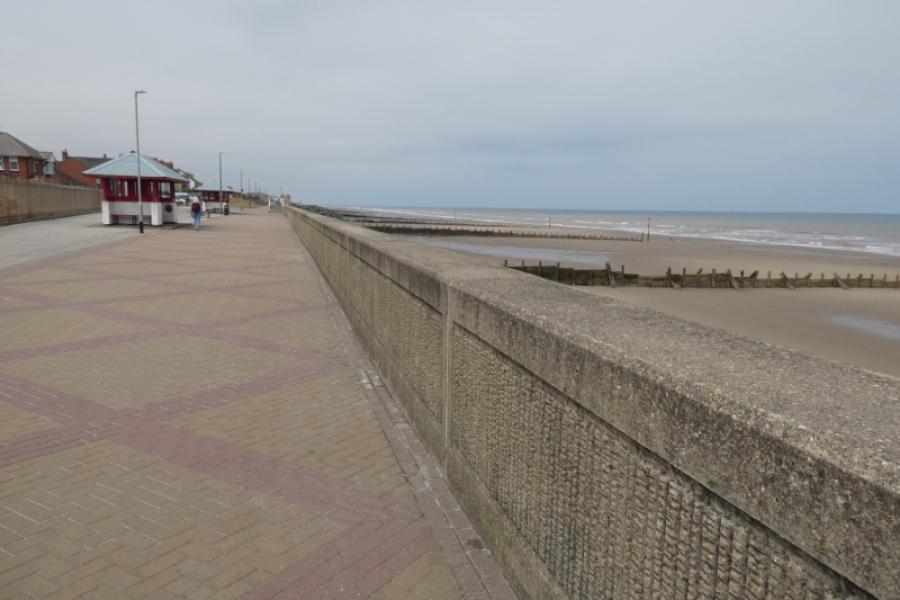
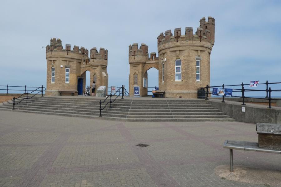
(2) Continue along the cliff tops. Cross The Runnel (deep ditch) by a footbridge and continue past Neville's Farm. Continue to the Intack where the path is diverted to the road. Either follow the diversion or continue, unofficially, along the cliff tops. There is a path in places. Reach a caravan site where there is enough room, for now, between its boundary ropes and the cliff edge to continue walking. Reach a second caravan/chalet site where there is a path at the top of the slope above the line of boulders. This path leads almost to the South promenade with a short left turn needed just before its end. Continue along South promenade to Seaforth Road then continue for another 1 km to the “Castle” on Central Promenade. Either walk back to South promenade or catch any bus going south from obvious nearby bus stops.
Notes
(a) This walk took place on 14th July, 2026.
Photos - Hover over photo for caption. Click on to enlarge. Click on again to reduce.