Get Lost Mountaineering
You are here: Scotland » 04 Loch Leven and Loch Linnhe to Loch Ericht » Loch Trieg to Loch Ericht & Dalwhinnie
North of Culra Bothy: Geal Charn & Carn Dearg
North of Culra Bothy from Dalwhinnie
Start/Finish
Dalwhinnie Station
Distance/Time
44 km (bike 30 km, walk 14 km) Approx 10 hours (with bike)
Peaks
Sgor Iutharn, 1028 m, NN 489 743.
Geal Charn, 1132 m, NN 469 746.
Diollaird a’ Chairn, 922 m, NN 488 758.
Carn Dearg, 1034 m, NN 504 764. OS sheet 42.
Introduction
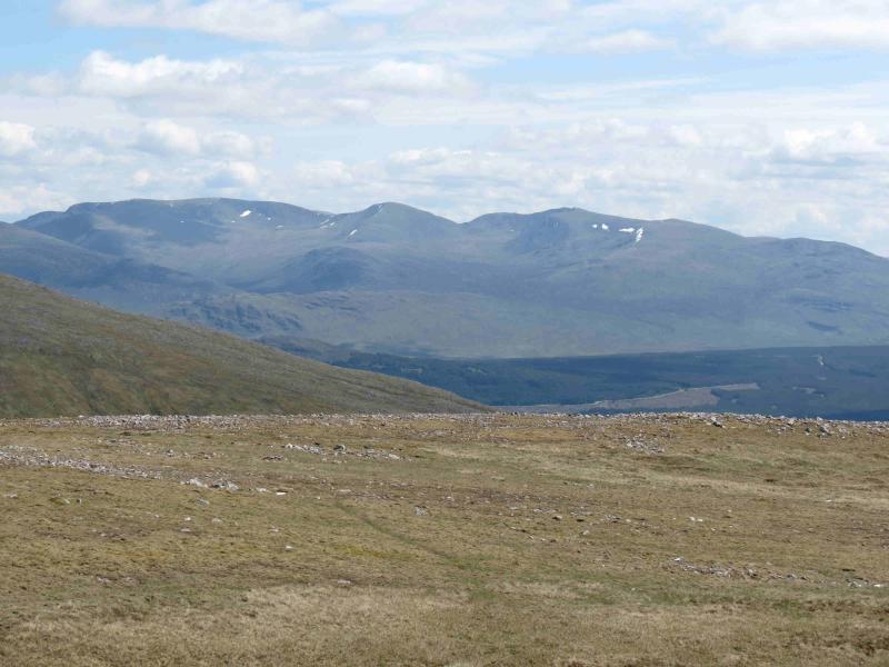
These are fine remote hills with excellent views especially of Ben Alder, immediately to the S. The Lancet Edge is a low grade scramble in the Summer but quite a serious undertaking in winter conditions.
Route
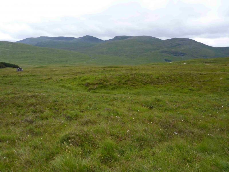
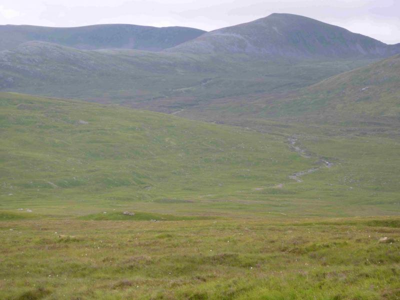
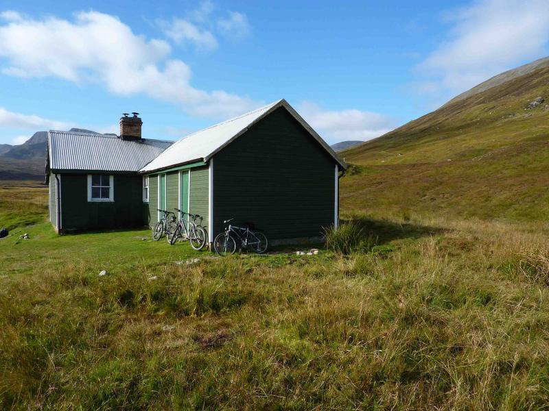
(1) Park at or near Dalwhinnie Station then walk S along the minor road alongside the railway. There is some limited parking about 30 m before the level crossing. Cross the railway and follow the track along the N side of Loch Ericht past some new imposing buildings. If the gate at one of them is locked, it is easy to circumvent it (even with a bike) by going up the obvious grassy bank on the right. Continue to just before Ben Alder Lodge where the track forks right uphill then starts a long gentle descent towards Loch Pattack. If cycling, don’t take the grassy track towards Culra but go a little further where there is a better stony track. Although not a track all the way, it is relatively easy to cycle all the way to Culra. Cross the obvious bridge a few hundred metres before the bothy and leave bikes at the bothy.
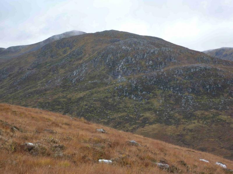
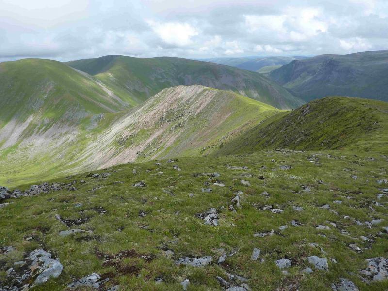
(2) Continue along the path beyond the bothy towards the Bealach Dubh for about 3.5 m to a tributary burn which is about where the main river starts to seriously meander – there is no obvious path up the tributary burn. Follow the burn up until the Lancet Ridge (a sharp rocky ridge) becomes prominent. Traverse across to the foot of the ridge which seems to be split into 2 ridges. Climb either (N seems rockier) or the shallow grassy gully in between. Grass gradually gives way to rock as height is gained. The path then becomes obvious and skirts the first rock band to the left (S). Climb steadily, still following the path, with some steep drops on both sides. Some easy scrambling is needed in places. The ridge finally levels out on a wide grassy plateau with an obvious cairn at the summit of Sgor Iutharn, 1028 m.
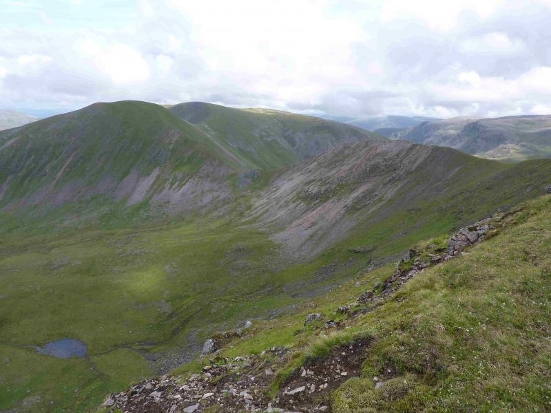
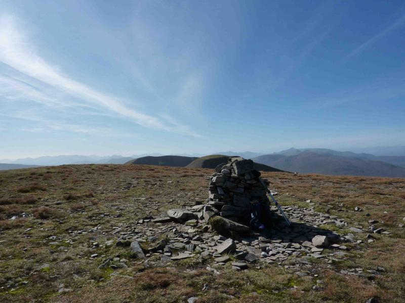
(3) Continue W, descending to a wide grassy/mossy bealach and climb steeper grassy/stony slopes NW to a grassy/mossy plateau. Head WNW across plateau to Geal Charn, 1132 m. where there is an obvious cairn. (In mist, try to locate the shallow grassy gully of the burn which flows down to Loch an Sgoir. Follow this gully to its upper end then go WNW (right) to the summit cairn.)
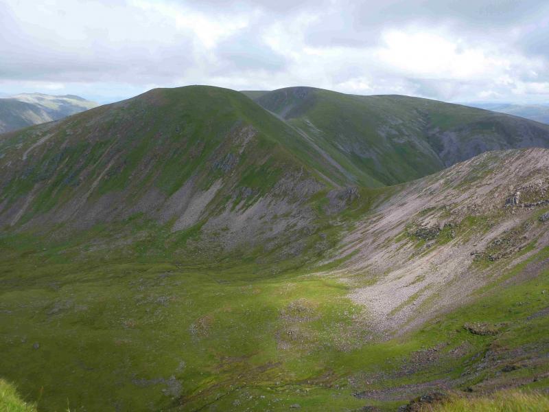
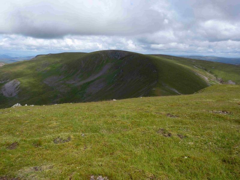
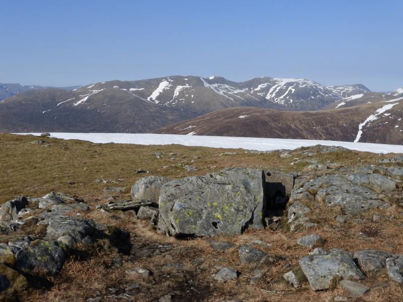
(4) From the summit, head ENE keeping to the N side of the above grassy gully until the cliffs at the edge of the plateau are reached. Follow the edge S until an obvious path appears which picks its way down an arête between Loch an Sgoir and Loch Coire Cheap (the obvious 2 lochans). Follow path ENE over Diollaird a’ Chairn, 922 m.
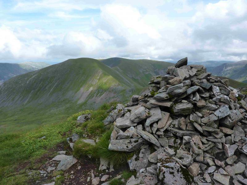
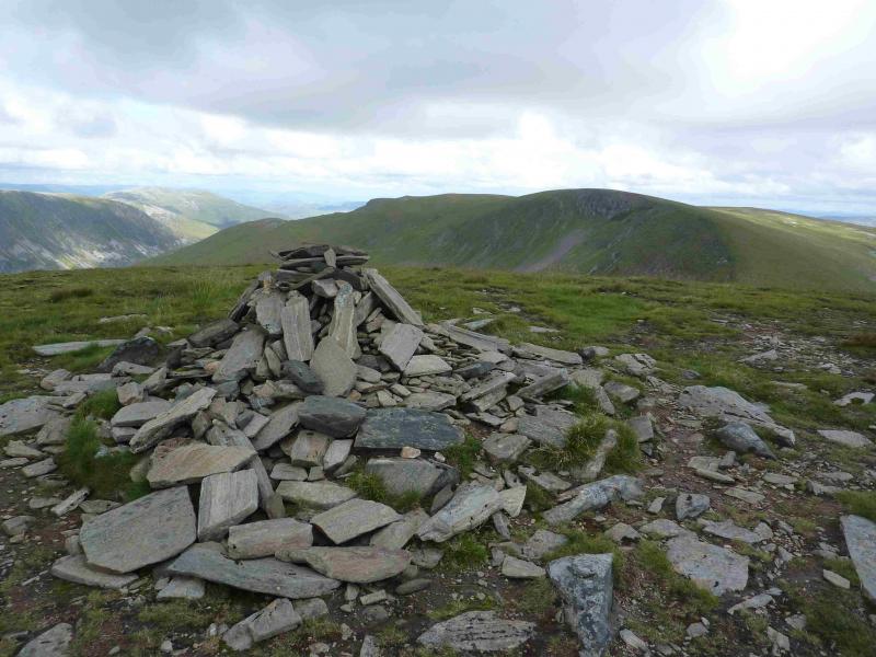
(5) Continue over a shallow dip onto Carn Dearg, 1034 m, where there is a large cairn at the NE end of the summit ridge. Descend NE along the ridge to where the gradient eases then more directly SE down steeper grassy/heathery slopes to Culra Bothy. Retrace outward route to Dalwhinnie.
Notes
(a) This walk took place on 16th September, 2009.
Photos - Hover over photo for caption. Click on to enlarge. Click on again to reduce.

.JPG)