Get Lost Mountaineering
You are here: Scotland » 05 Loch Rannoch to Drumochter and East to Gaick Pass » East of Drumochter to Gaick Pass
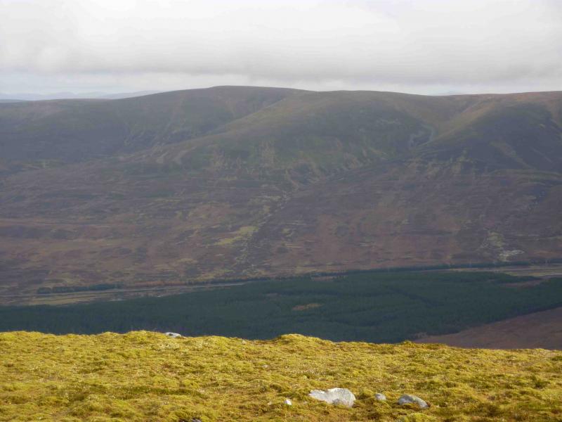
East Drumochter Munros
East Drumochter Munros from A9
Start/Finish
Layby ½ km S of Wade Bridge on A9, S of Dalwhinnie, at about NN 639 823.
Distance/Time
21 km About 7 hours
Peaks
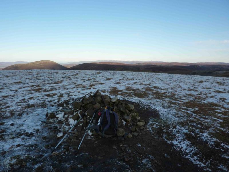
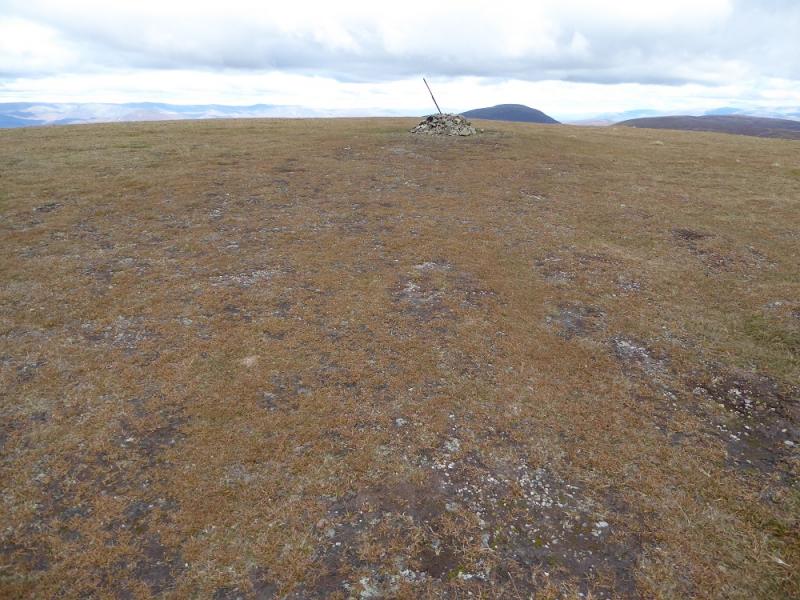
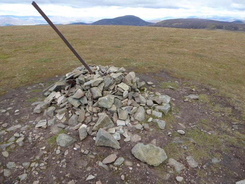
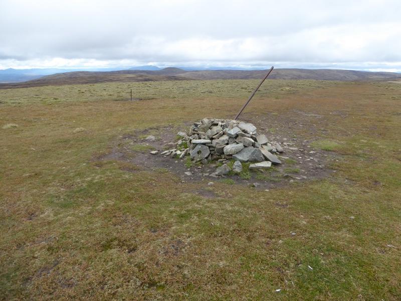
A’Bhuidheanach, 879 m, NN 657 791.
A’Bhuidheanach Bheag, 936 m, NN 660 776.
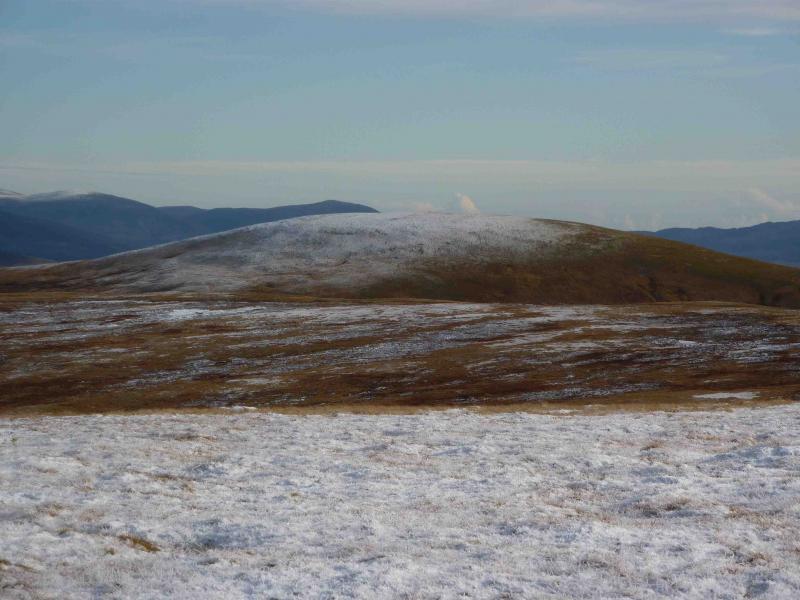
Glas Meall Mhor, 928 m, NN 680 769.
Carn na Caim SW Top, 915 m, NN 663 806. New addition 2015.
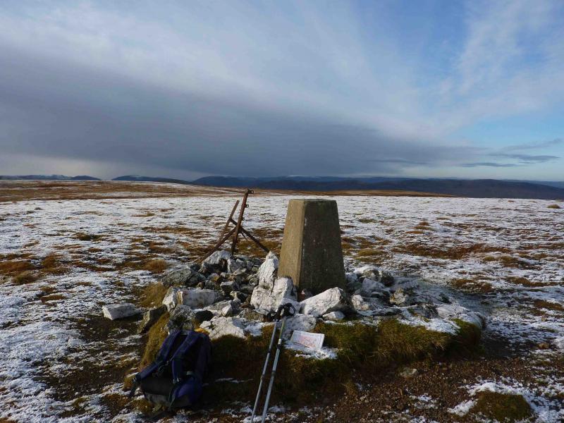
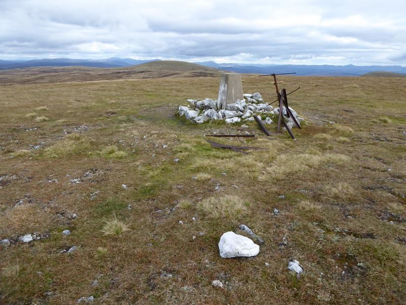
Carn na Caim, 941 m, NN 677 821. OS sheet 42.
Introduction
This is a more “awkward” round than the West Drumochter Munros and entails a fair amount of back tracking. Still the views are well worth it, especially to the East. Carn na Caim SW Top was added in 2015 following a new survey. It is little more than a “bump” but is the first top to the north of Point 902 and most people will have walked over it on the way to the main summit of Carn an Caim.
Route
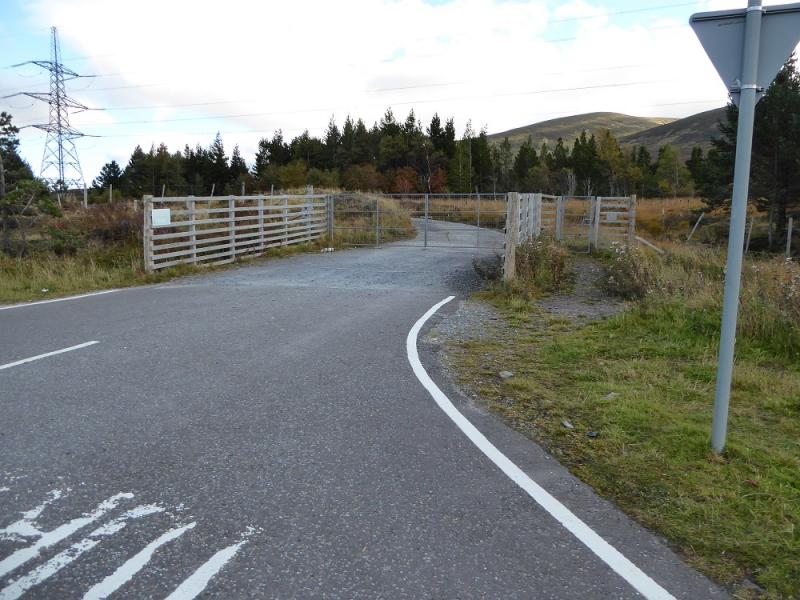
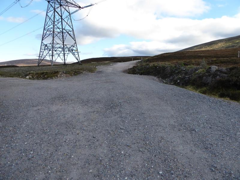
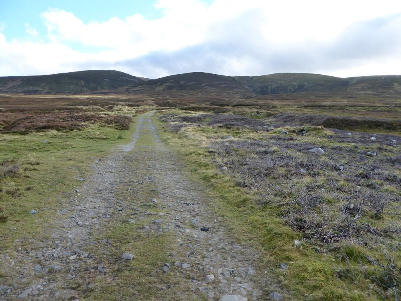
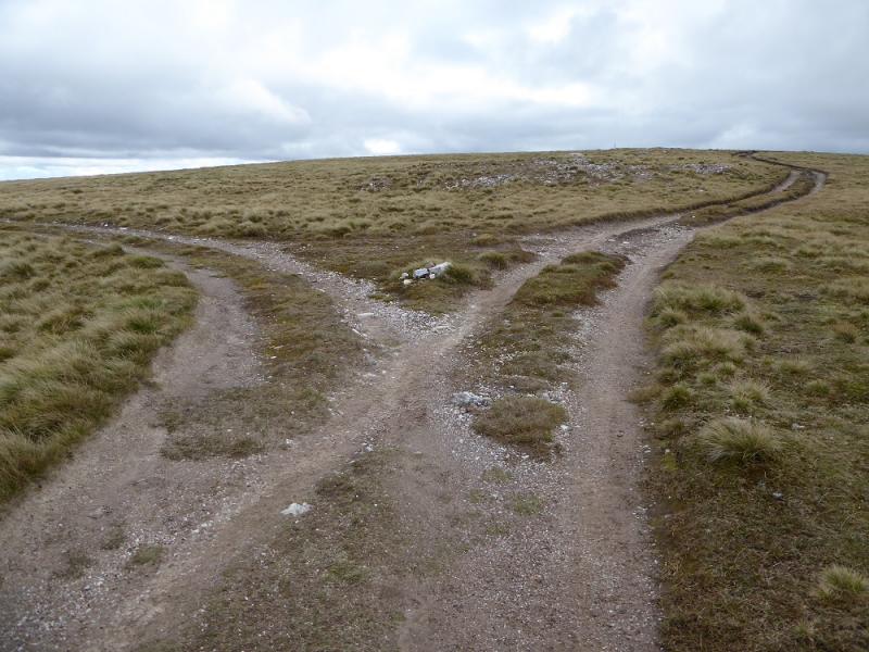
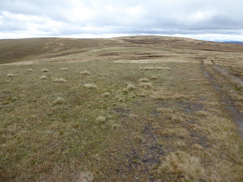
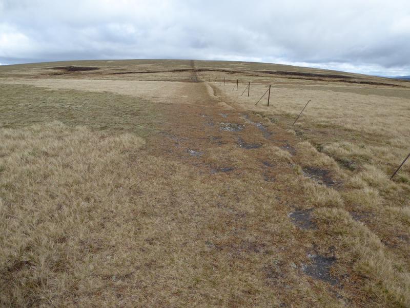
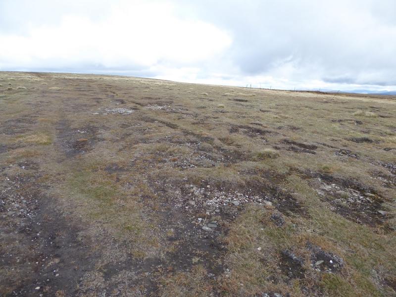
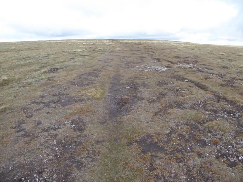
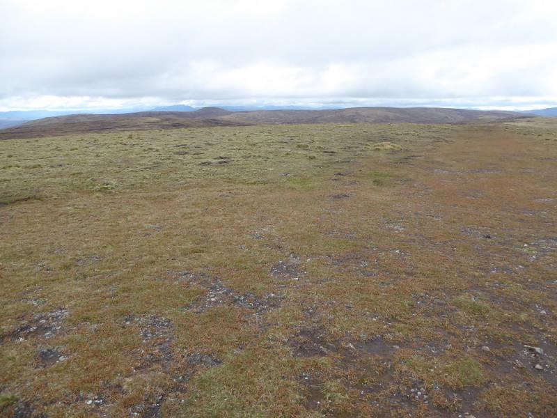
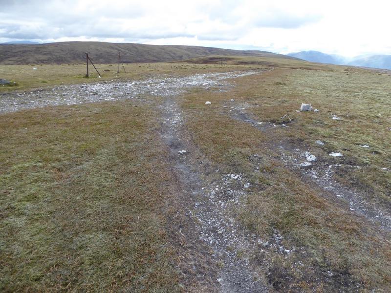
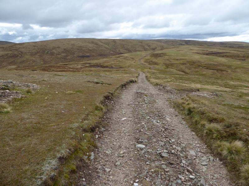
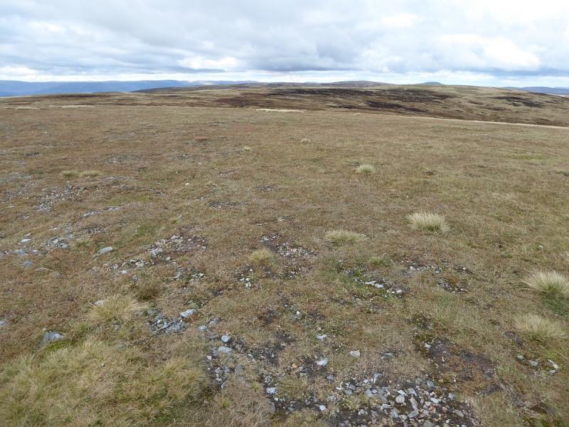
(1) From the layby, walk S for a few hundred metres to a gate and a track through the forest. Follow the good track as it ascends for over 3 km to emerge on the plateau at Pt. 902. Follow the track S – it is now more grassy to A’Bhuidheanach, 879 m, where there is a small cairn.
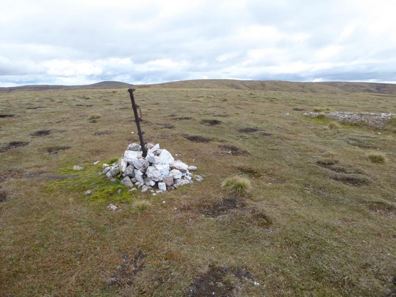
(2) Leave the main track here and go left (E) at 90o to the main track. After about 20 m, a clearly defined new track is reached. Follow this down to a burn which is easily crossed. On the other side, the track is even more grassy and soon becomes a path. Continue up gentle grassy slopes to emerge on a plateau where fence posts may be followed (some widely spaced) to the summit trig point of A’Bhuidheanach Bheag, 936 m. Alternatively, follow the fence posts all the way from Pt 902 to this summit.
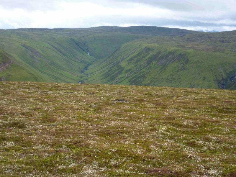
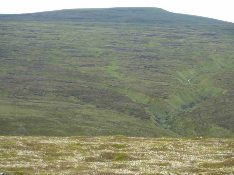
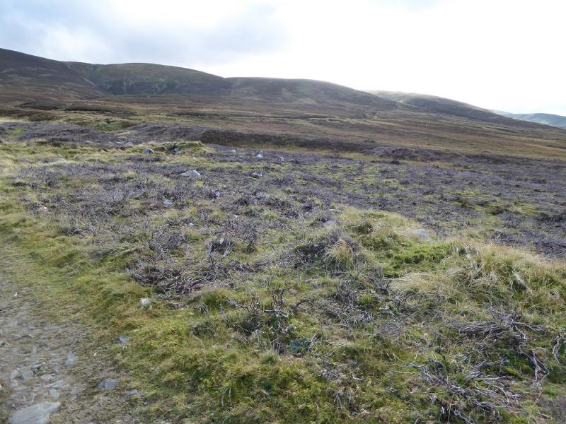
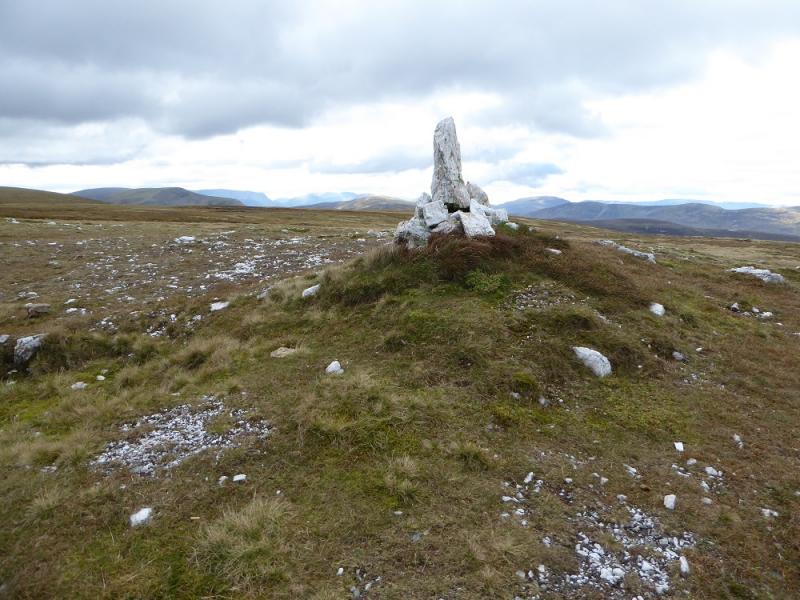
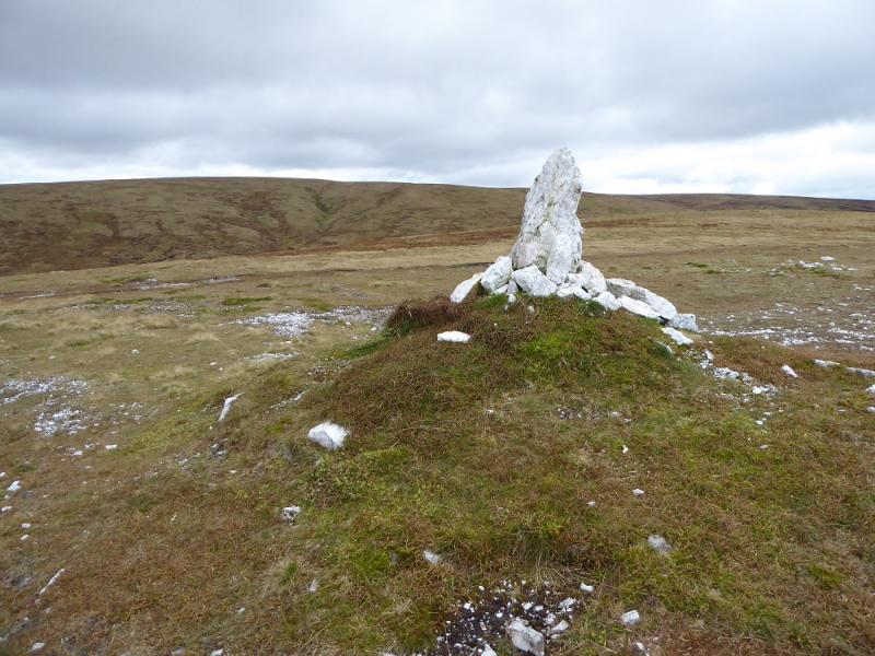
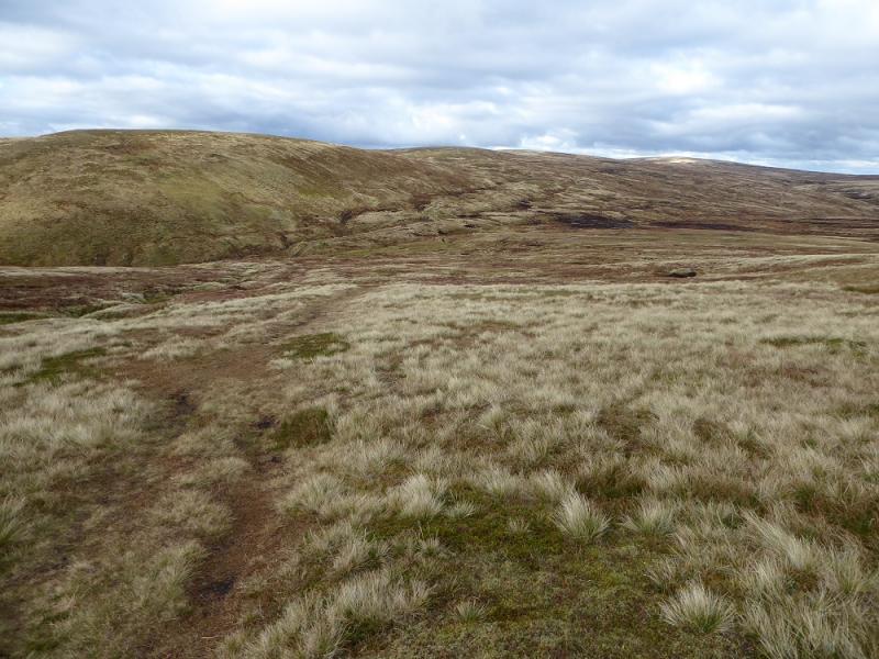
(3) From the summit, pick your way, over varying terrain, SE then E then SE to the summit cairn of Glas Mheall Mhor, 928 m. The final ascent from the bealach is on steepish grass.
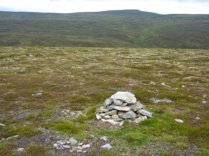
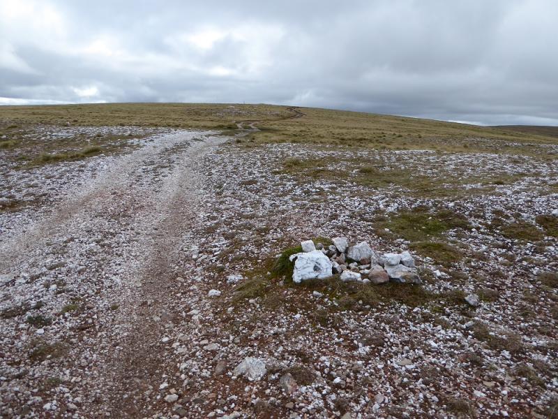
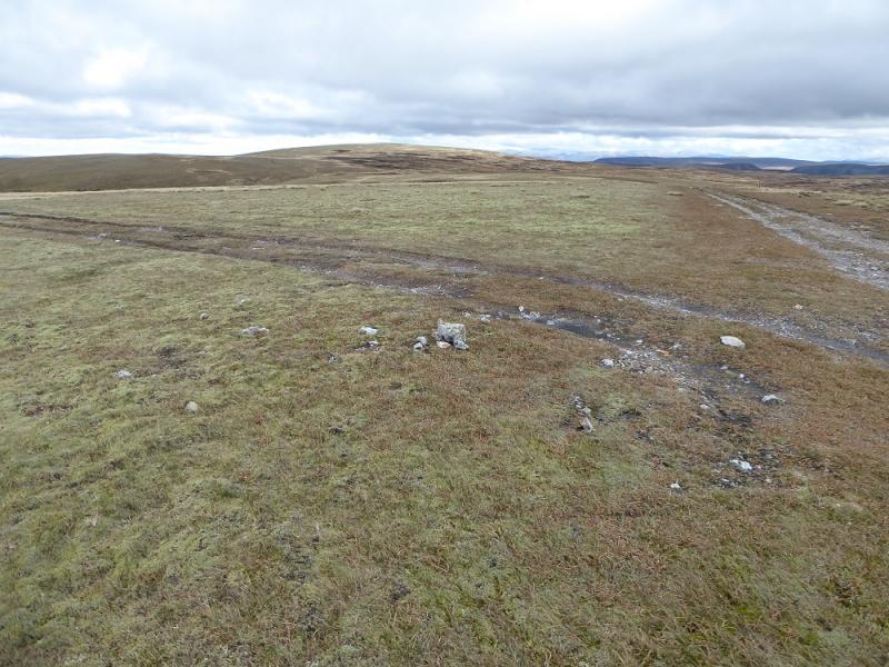
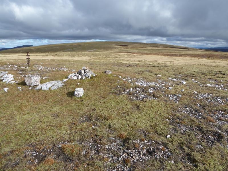
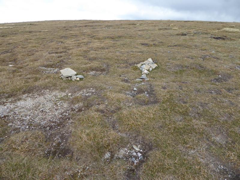
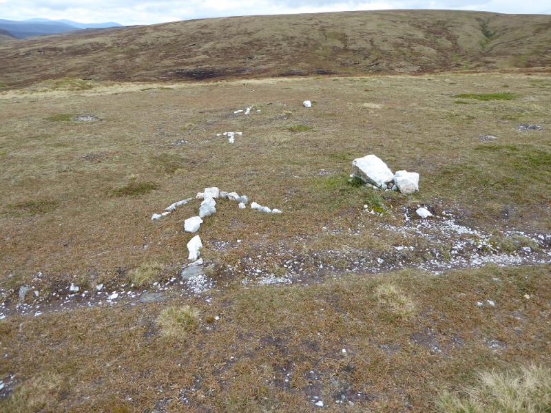
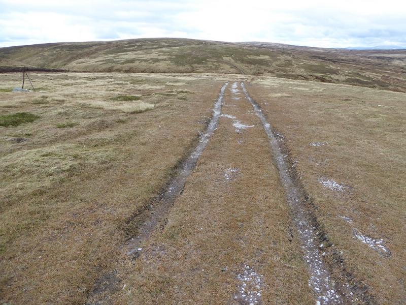
(4) Retrace back to A’Bhuidheanach Bheag then follow the track to Pt 902 and continue on a good track towards Carn na Caim. The first top encountered is Carn na Caim SW Top, 915 mwhich has a tiny cairn about 4 m to the left of the track.
(5) A line of fence posts can be followed but these turn E about 200 m before the large summit cairn of Carn na Caim, 941 m. Alternatively, to avoid backtracking, walk roughly N over pathless terrain, from Glas Mheall Mhor to reach Carn na Caim.
(6) To descend, either retrace to Pt 902 and the track of ascent or go SW across the top of a wide gully then W down steep grass at first then more gentle slopes to reach the ascent track quite low down.
Notes
(a) This walk took place on 8th November, 2009.
(b) Using 2 cars can give a much more satisfying circuit. Start from the A9 near Dalnaspidal Lodge, about NN 650 730. Ascend the Druim Coire Mhic-sith, either directly or by first following the E bank of the Allt Coire Mhic-Sith. Once on on the ridge, follow it over Glas Mheall Bheag to Glas Mheall Mor then proceed as above. The distance is about the same.
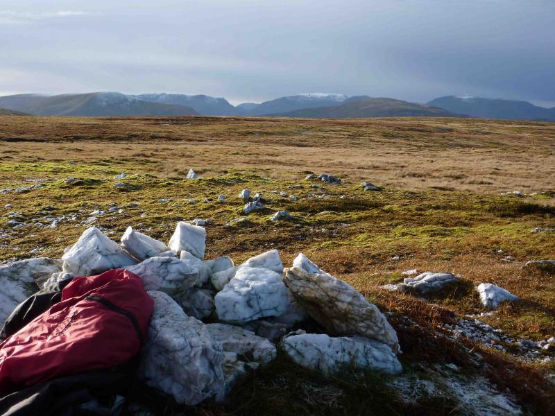
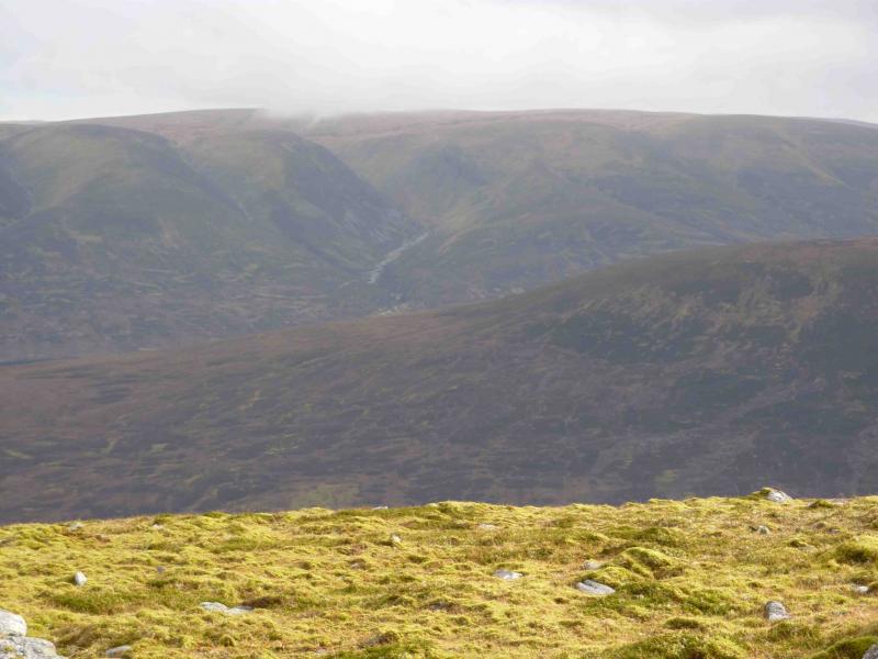
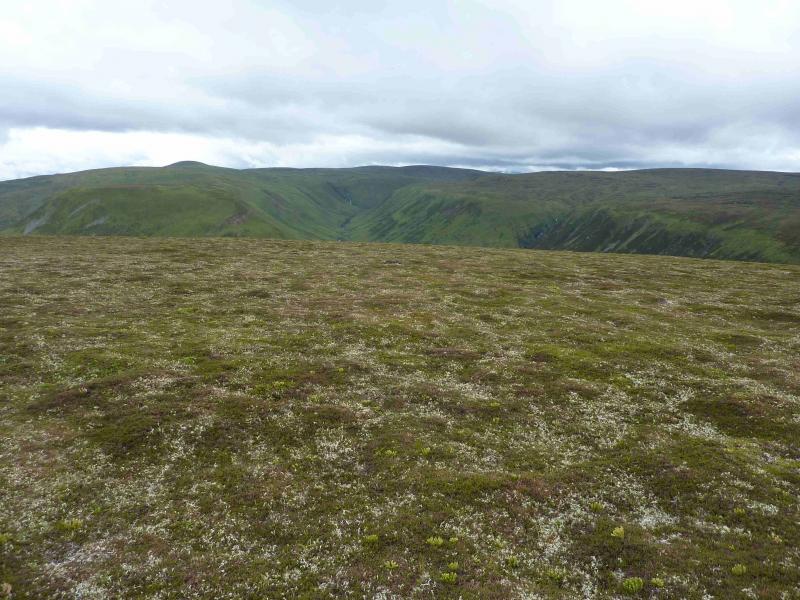
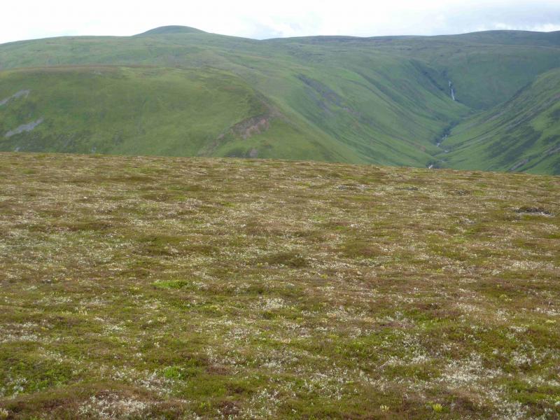
Photos - Hover over photo for caption. Click on to enlarge. Click on again to reduce.