Get Lost Mountaineering
You are here: Scotland » 05 Loch Rannoch to Drumochter and East to Gaick Pass » West of Drumochter to Loch Rannoch & Loch Ericht
Meall na Leitrach & The Sow of Atholl
Meall na Leitrach and The Sow of Atholl from Dalnaspidal
Start/Finish
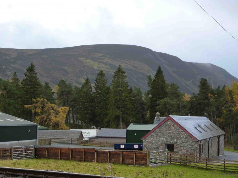
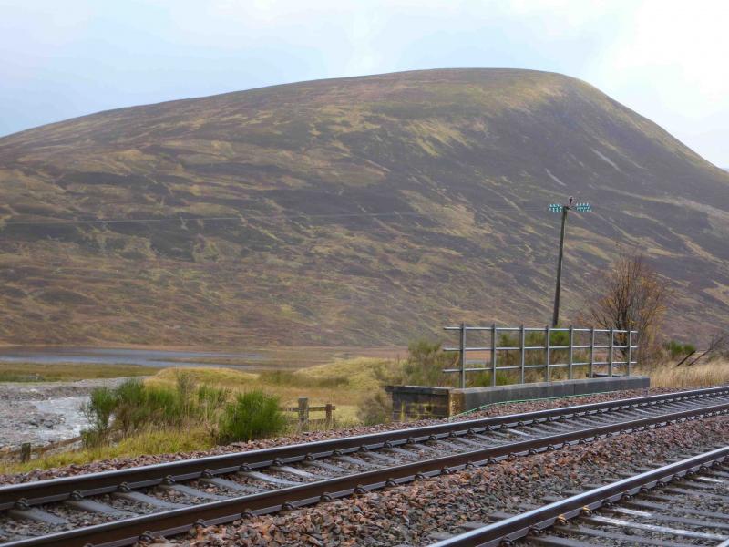
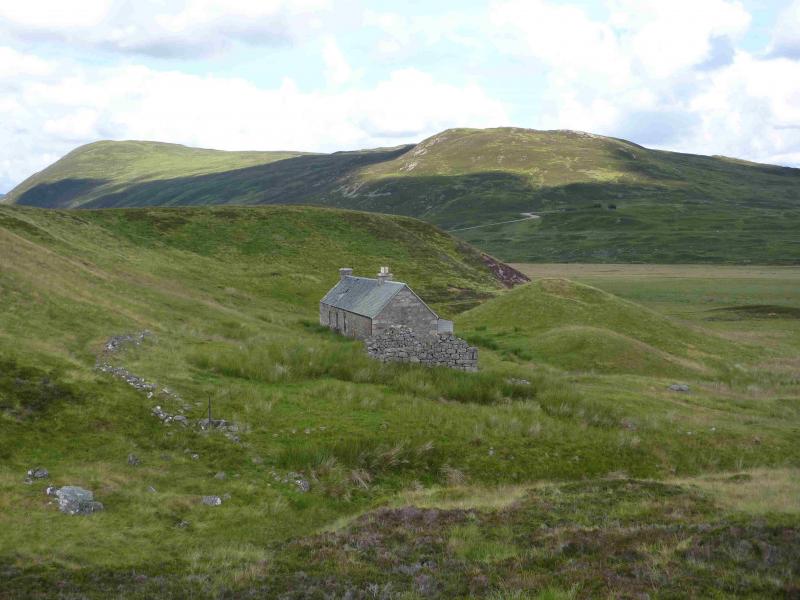
Dalnaspidal on the A9, not far S of the summit of the Drumochter Pass. Dalnaspidal is signposted whether travelling from the N or S. Once turned off, follow the signs for Dalnaspidal Lodge and park just before the level crossing.
Distance/Time
13 km Approx 5 hours
Peaks
Meall na Leitrach, 775 m, NN 639 703.
The Sow of Atholl, 803 m, NN 624 741. OS sheet 42.
Introduction
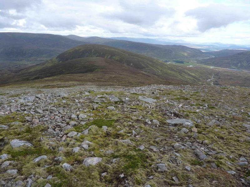
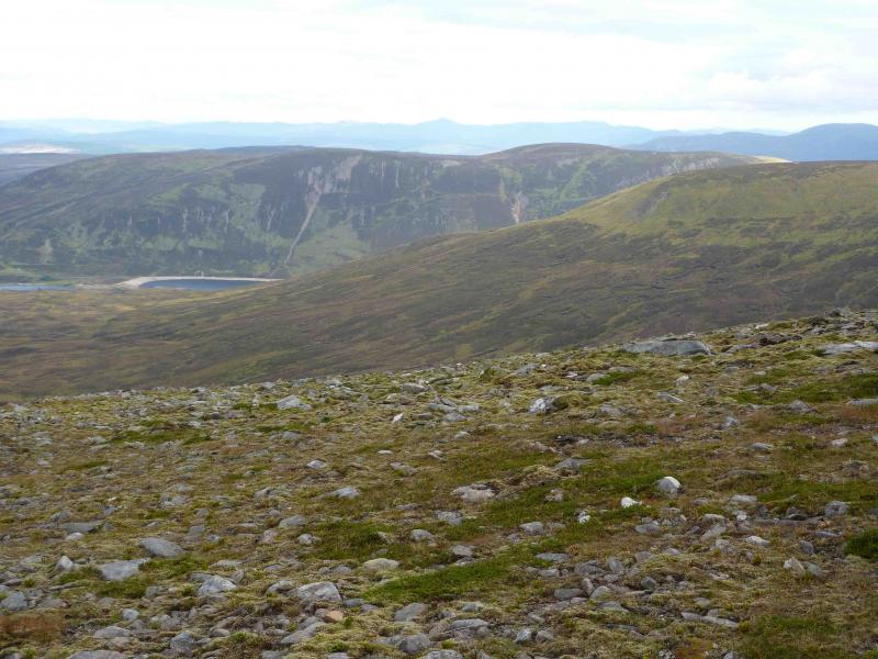
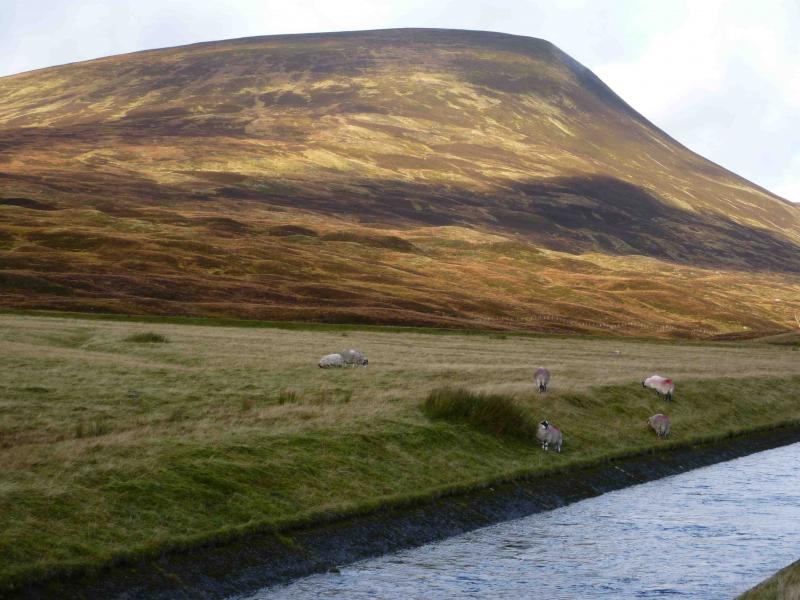
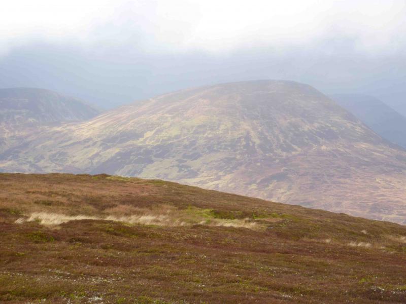
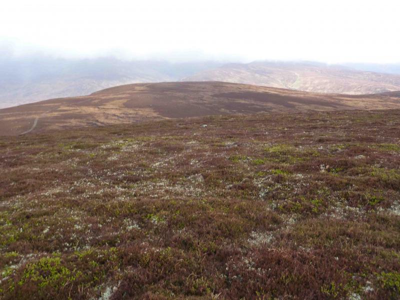
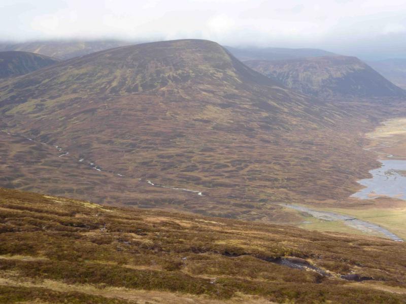
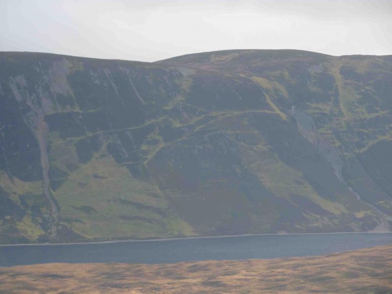
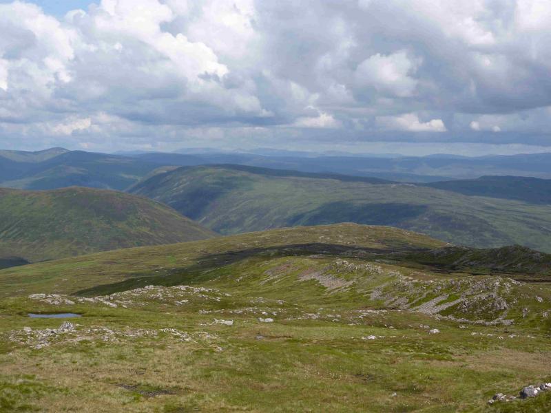
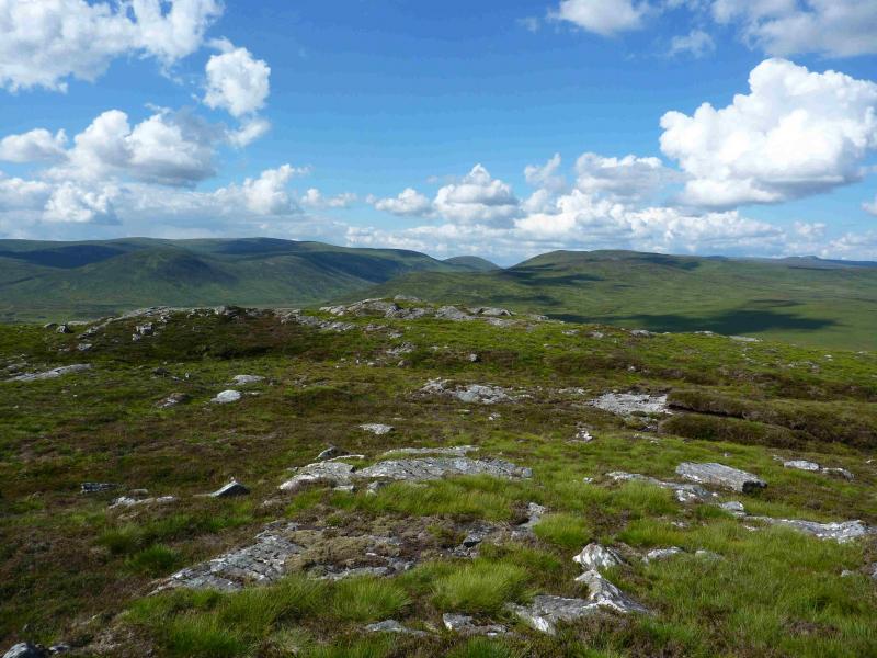
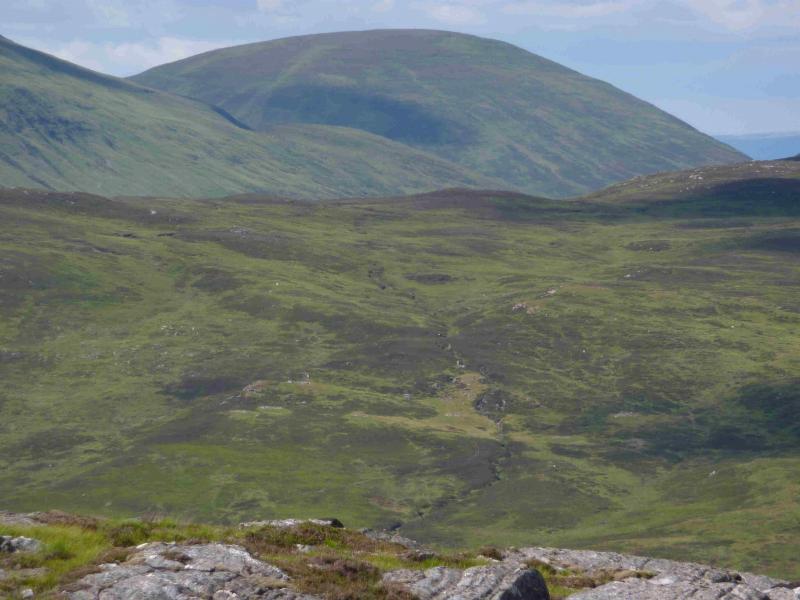
These two Corbetts are effectively separate walks but with good views in all directions but especially of Loch Ericht and the Ben Alder range. Beinn a’ Ghlo and Ben Vrackie are clearly visible to the S on a clear day. Unfortunately, both routes have to be retraced. Meall na Leitrach provides the slightly easier ascent: there is an ATV track (usually quite boggy) virtually all the way to the summit. The ascent of the Sow of Atholl is almost pathless up a grassy/heathery slope of constant gradient.
Route
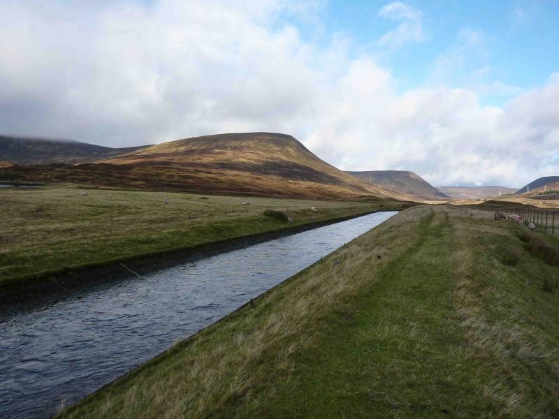
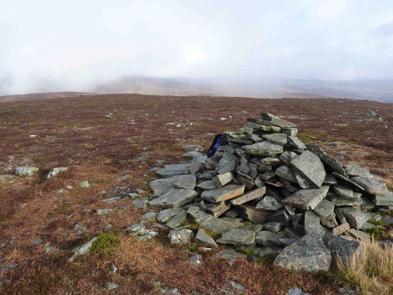
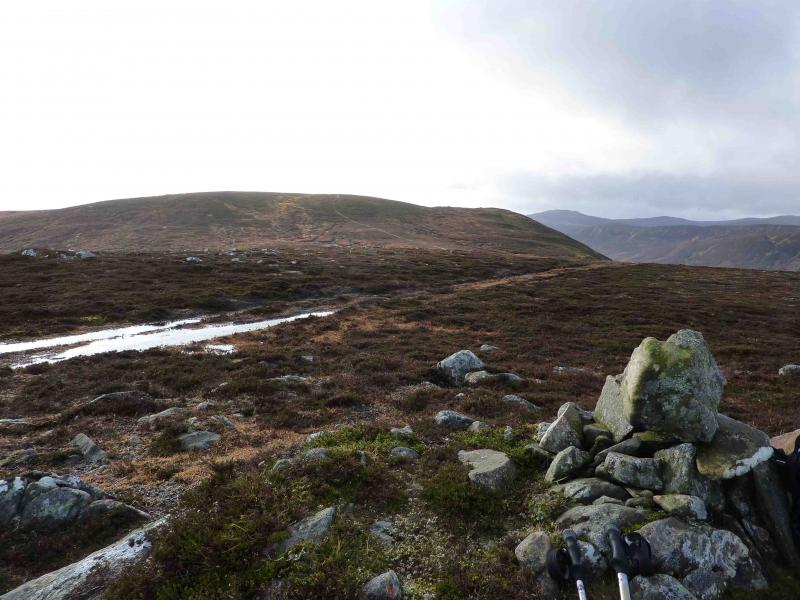
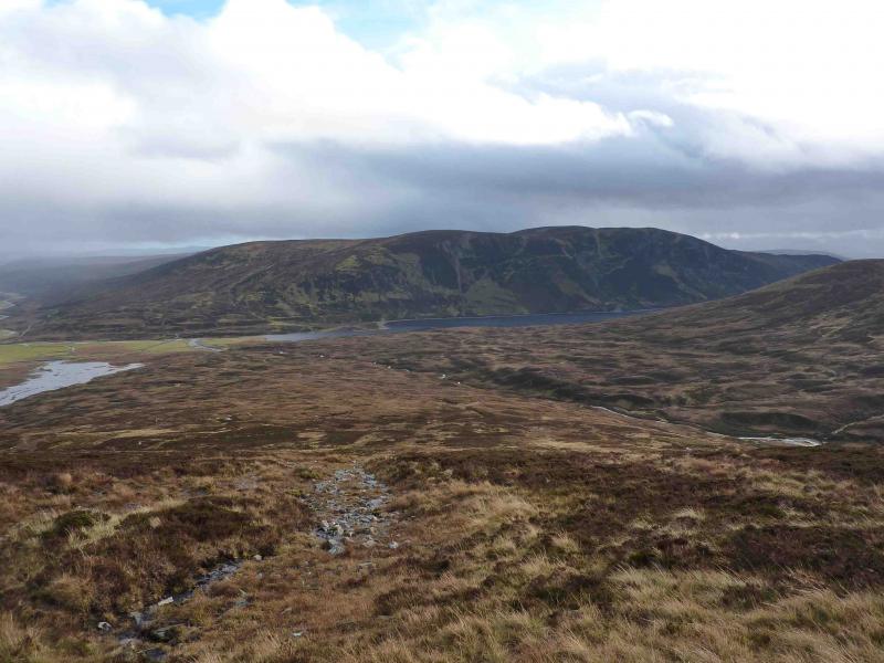
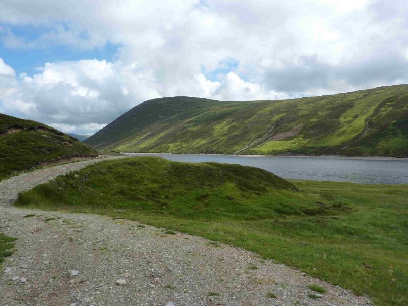
(1) Cross the level crossing and take the track on the right just before the buildings. Follow this over a bridge then walk along a grassy path on the left bank to the next bridge over the outflow from Loch Garry. Cross this to reach a good track, not shown on the 1989 map. Leave this almost immediately and follow a boggy ATV track roughly S up on to a ridge. Just before the ridge, a shallow grassy gully appears on the right. Continue following the track as it curves round towards SW and climbs on to a shoulder where there is a small cairn on the right. Continue on the track which descends very gradually for a few hundred metres before climbing more steeply to the summit plateau. At the highest point of the track, turn left, and follow a faint path to the large unmistakeable cairn which is the summit of Meall na Leitrach, 775 m.
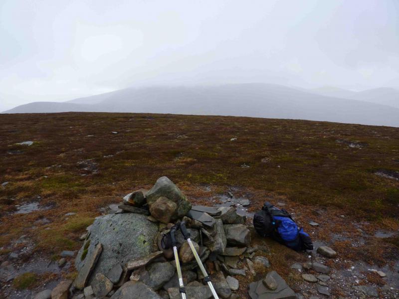
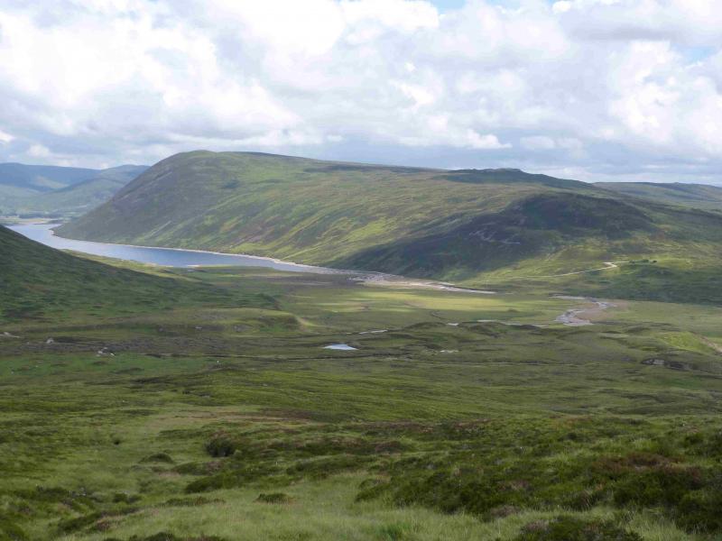
(2) Retrace back to the last bridge over the Loch Garry outflow. Cross this then immediately cross the narrower bridge on the left. Walk along the bank to the main track, cross it, then walk along another boggy ATV track with the burn on your left. Follow the track past all the drumlins (grassy/heathery mounds from the last ice age) then leave it to ascend the SE slopes of The Sow of Atholl. There is little in the way of paths and the going can be quite wet. The gradient is not steep but almost constant all the way. When the angle eases, head N across the plateau to reach the medium cairn which is the summit of The Sow of Atholl, 803 m.
(3) Retrace as far as the main track which has come from the NW side of Loch Garry and follow it back to the start.
Notes
(a) This walk took place on 30th October, 2010.
Photos - Hover over photo for caption. Click on to enlarge. Click on again to reduce.