Get Lost Mountaineering
You are here: Scotland » 05 Loch Rannoch to Drumochter and East to Gaick Pass » West of Drumochter to Loch Rannoch & Loch Ericht
West Drumochter Munros
West Drumochter Munros from Balsporran Cottages
Start/Finish
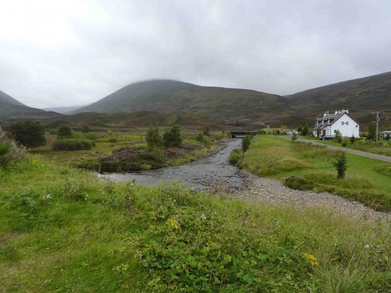
Balsporran Cottages on the A9, S of Dalwhinnie, at NN 628 793
Distance/Time
20 km Approx 9 hours
Peaks
Geal Charn, 917 m, NN 596 782.
A’Mharconaich, 975 m, NN 604 762.
Beinn Udlamain, 1011 m, 579 739.
Sgairneach Mhor, 991 m, NN 598 731. OS sheet 42.
Introduction
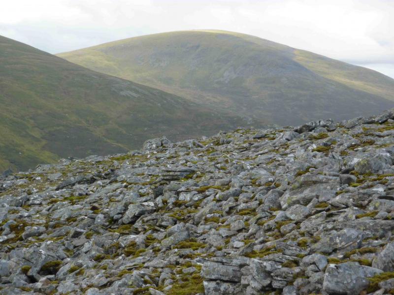
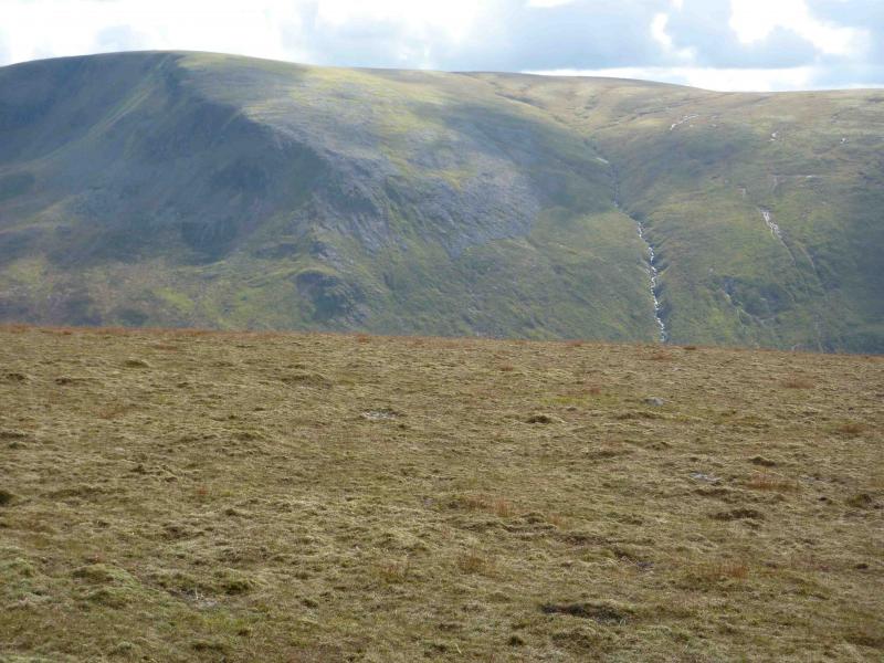
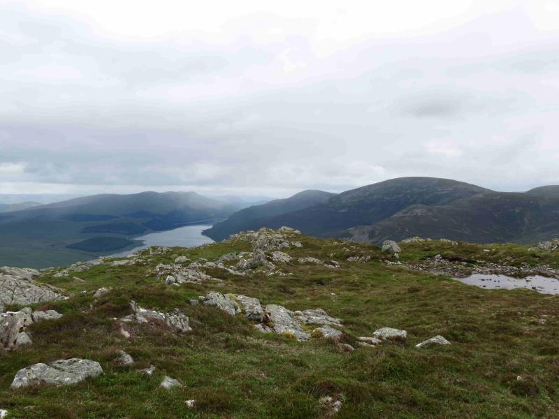
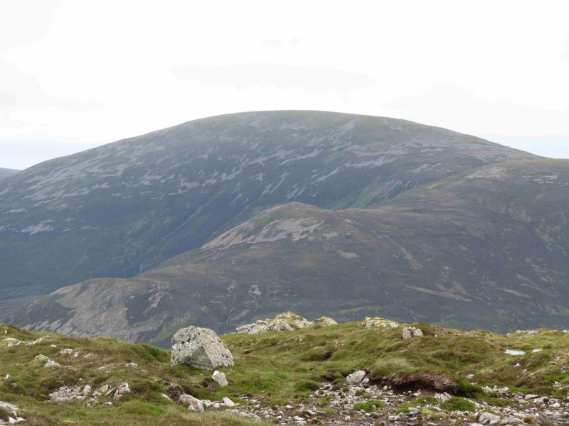
These Munros give a pleasant circular walk with good views in all directions but especially of Loch Ericht and the Ben Alder range. Fence posts and paths provide good aids to navigation but, in bad visibility, one can easily go astray especially when descending the last Munro of Sgairneach Mhor. Check the level of the burns before starting.
Route
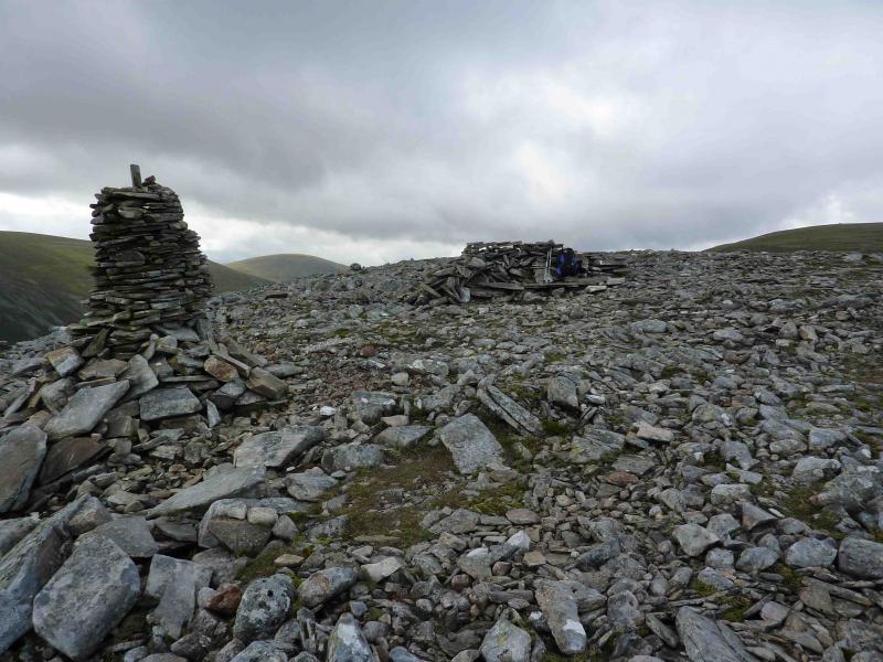
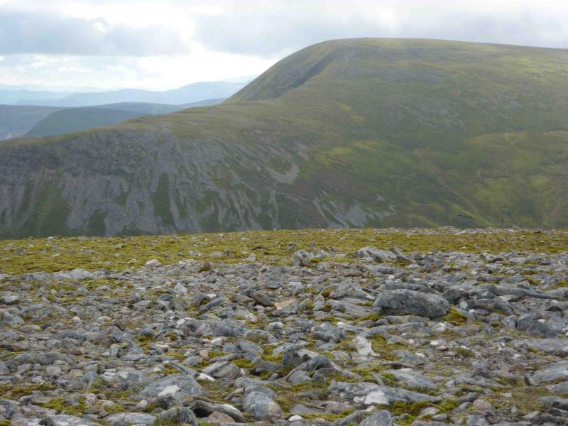
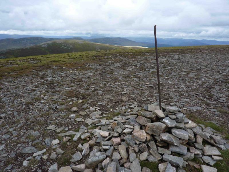
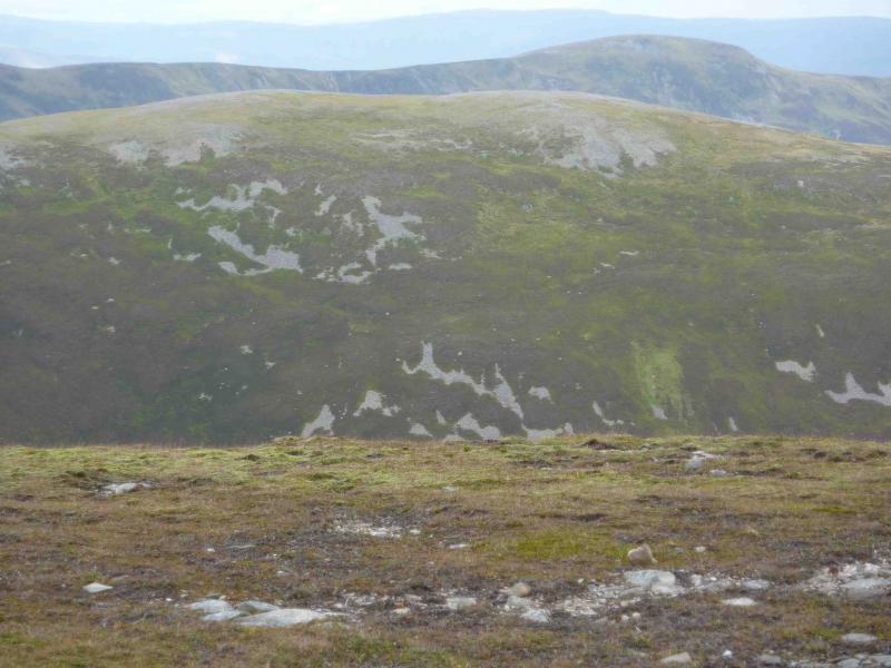
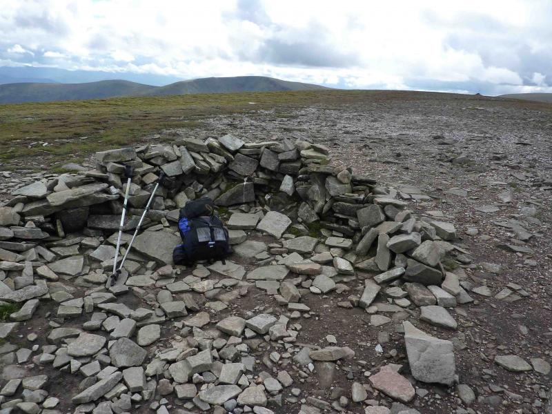
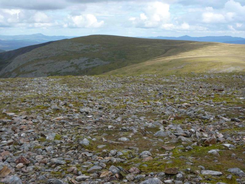
(1) There is easy parking just off the A9 near Balsporran Cottages. Walk W past the cottages then either follow the track W which becomes a path and crosses the Allt Beul an Sporain (easily) after a small waterfall to join the main, very boggy, path or take the track SW from the junction to cross the burn much lower down to pick up the main path lower down. Follow this obvious boggy path SW up the NE ridge of Geal Charn – it becomes less boggy above about 700 m – passing a cairn and stone pillar on a broad shoulder before ascending broad stony slopes to the summit cairn of Geal Charn, 917 m. There is a shelter cairn about 100 m beyond the summit cairn and it is not easy to tell which is the higher so it is best to visit both.
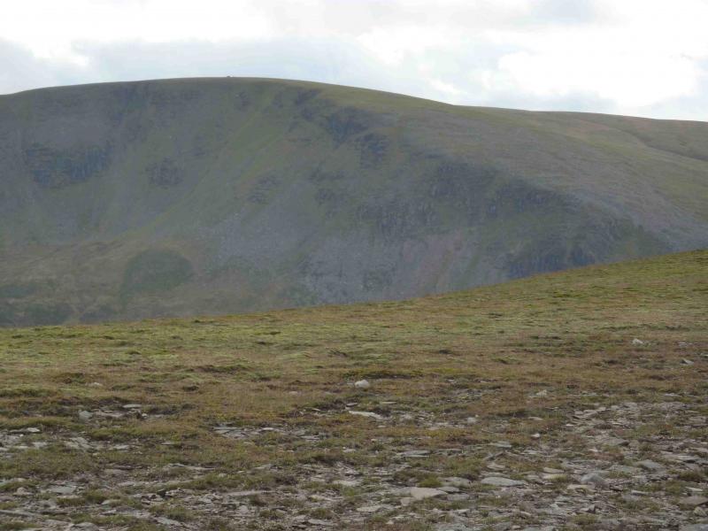
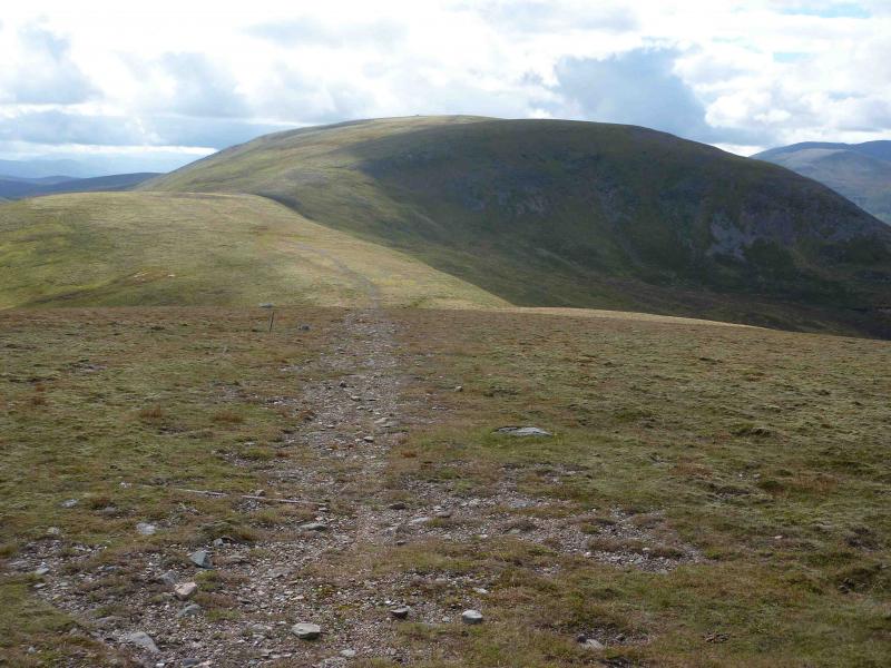
(2) Descend easy but stony slopes SSW then S (path is not obvious from summit but becomes a track by the time the bealach is reached) to reach the bealach at the head of Coire Fhar at about 740 m. The ground ahead is noticeably steeper. Leave the track and go left, ascending SE, starting off on an obvious path, up grassy, slightly boggy, slopes. As the plateau is reached, follow an obvious path on the left of the crest. In poor visibility, it might be better to follow a line of fence posts coming up the SW ridge to a small cairn where the fence goes right (SE). Go NE across an almost level plateau to reach the small summit cairn of A’Mharconaich, 975 m. If you reach a shelter cairn, the summit is 1 cairn back! Again it is very difficult to decide which of these two summits is the higher.
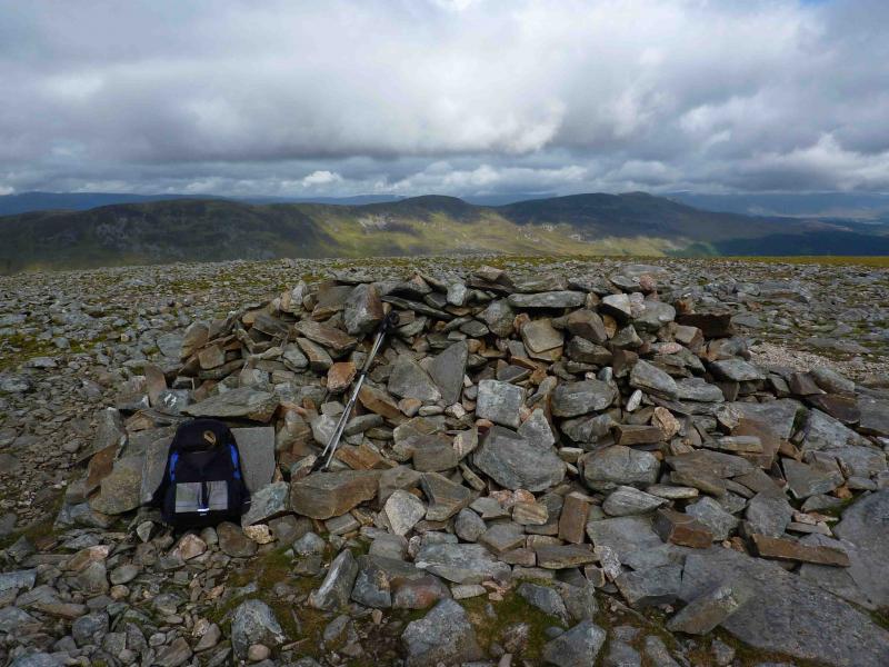
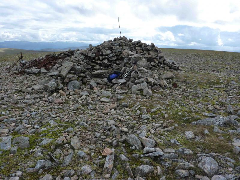
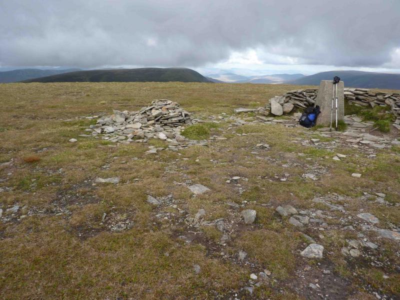
(3) Retrace to the fence posts and follow these (roughly SW) down to the bealach at 860 m between A’Mharconaich and Beinn Udlamain. Cross the bealach and continue to follow the fence posts N then E up Beinn Udlamain. There is a small cairn at about 980 m where the fence turns 90o about 0.5 km NNE of the summit and heads almost due S to the very large summit cairn (with shelter walls) of Beinn Udlamain, 1011 m.
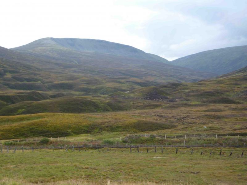
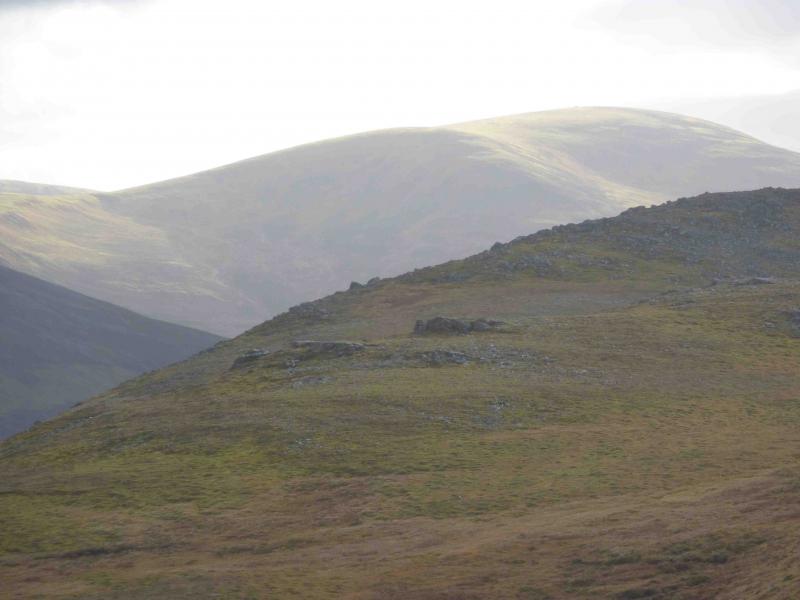
(4) Descend S still following the fence posts. Lower down, leave the fence and take a faint path on the left which is just before a squarish shelter cairn on the right. This crosses the bealach below its highest point and to the left of the peaty areas before climbing out the other side. When the path reaches a small cairn on a level shoulder, go right, ESE, with only a hint of a path, to reach a broad ridge then go left, NE, on a distinct path, up the obvious broad slope to the summit trig point of Sgairneach Mhor, 991 m. In thick weather, it may be easier to stay with the fence until it turns 90o and heads W. One would then head NE across the bealach and ascend the NW ridge of Sgairneach Mhor by an obvious path climbing NE to E. This will also lead to the small cairn on the level shoulder.
(5) Descend ENE down mainly gentle slopes on a well defined ridge with a path close to the edge – this is not obvious in mist especially on lying snow. Just before the bealach at NN 613 737, a path starts to slant down to the left. This becomes an ATV track, boggy in places, and descends N towards the Allt Coire Dhomhain. About 50 km before the burn, the track turns W (upstream) and a path continues to the burn which is easily crossed if not in spate. Ascend N bank and follow good track back to the A9. Walk down the A9 on the cycle path to the start.
Notes
(a) This walk took place on 7th November, 2009 and 9th September, 2010.
(b) 2 cars can avoid a 4 km walk along the A9 at the end of the day.
(c) If the burns are in spate, the Allt Coire Dhomhain will be difficult to cross. In this case, retrace the ascent of Sgairneach Mhor towards its bealach with Beinn Udlamain then walk down the N bank of the Allt Coire Dhomhain soon reaching the good track.
(d) The Sow of Atholl (a Corbett) could easily be added to this round by staying on the ENE ridge of Sgairneach Mhor, crossing, or traversing, the top at NN 617 738 to reach the bealach under the Sow of Atholl. This bealach is a lot deeper than it looks from the descent of Sgairneach Mhor. A slight diversion S may be necessary to avoid the steep rocky ground on its W face. From the summit, descend NNE to the Allt Coire Dhomhain where the burn will be more difficult to cross in which case the only alternative is to descend the SE ridge to Dalnaspidal and add an extra 2.5 km walk along the A9. Adding the Sow of Atholl to the route could lengthen the walk by about two hours.
Photos - Hover over photo for caption. Click on to enlarge. Click on again to reduce.