Get Lost Mountaineering
You are here: Scotland » 06 Drumochter to Glen Shee » Tarf & Tilt Hills to Glen Tromie
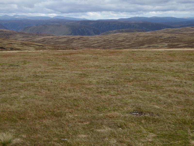
An Dun & A' Chaoirnich
An Dun & A' Chaoirnich from Dalnacardoch
Start/Finish
The minor road from Dalnacardoch to Trinafour close to where it leaves the A9. Dalnacardoch lies between Blair Atholl and Dalwhinnie on a section of dual carriageway. The grid reference is about NN 722 703.
Distance/Time
18 km bike + 9 km walk
About 6 - 7 hours with bike, 7 – 8 hours on foot.
Peaks
An Dun, 827 m, NN 717 805.
A' Chaoirnich, (Maol Creag an Loch), 975 m, NN 735 807. OS sheet 42.
Introduction
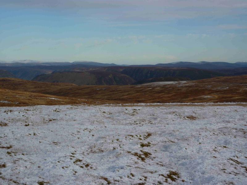
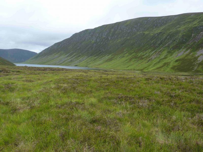
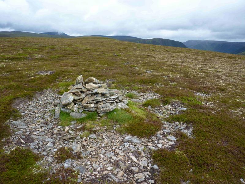
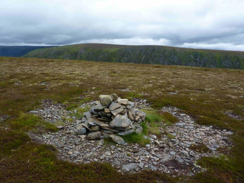
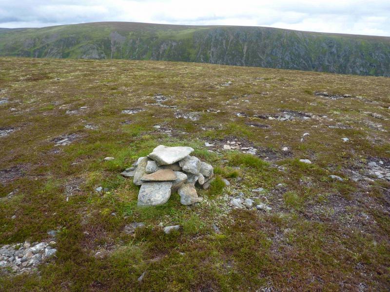
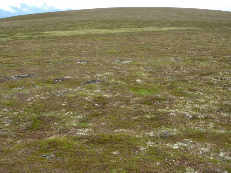
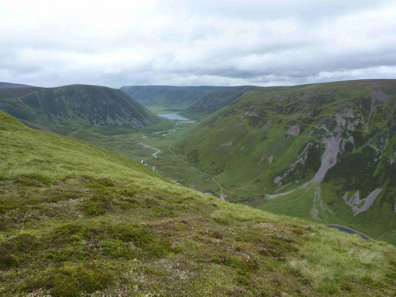
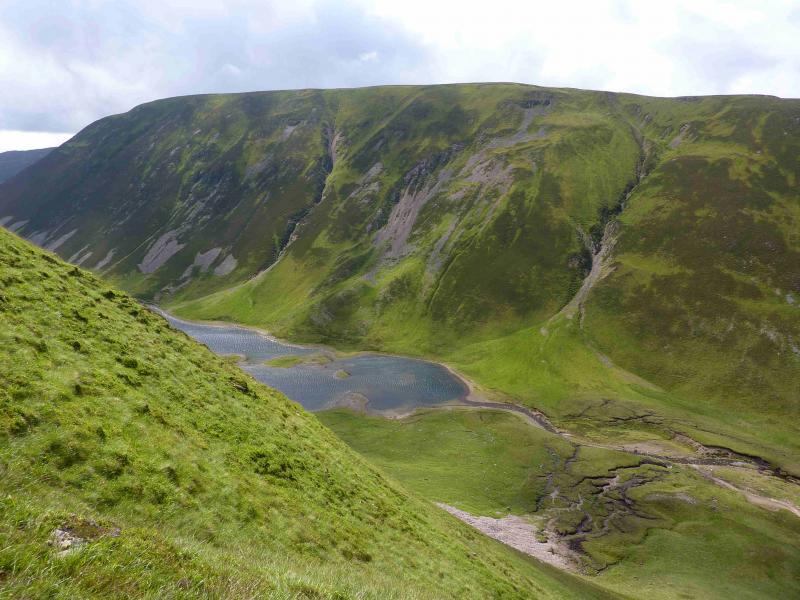
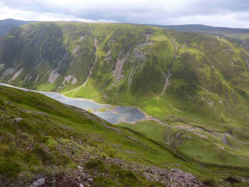
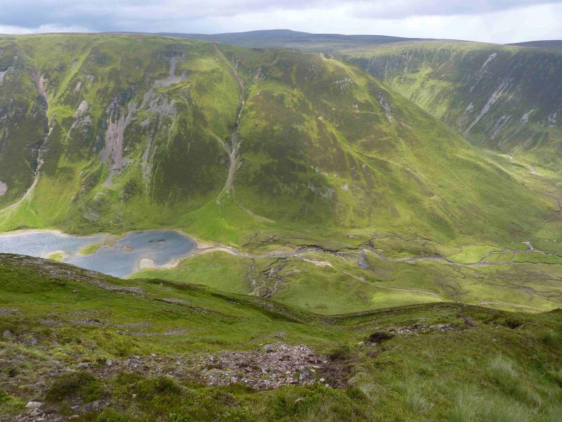
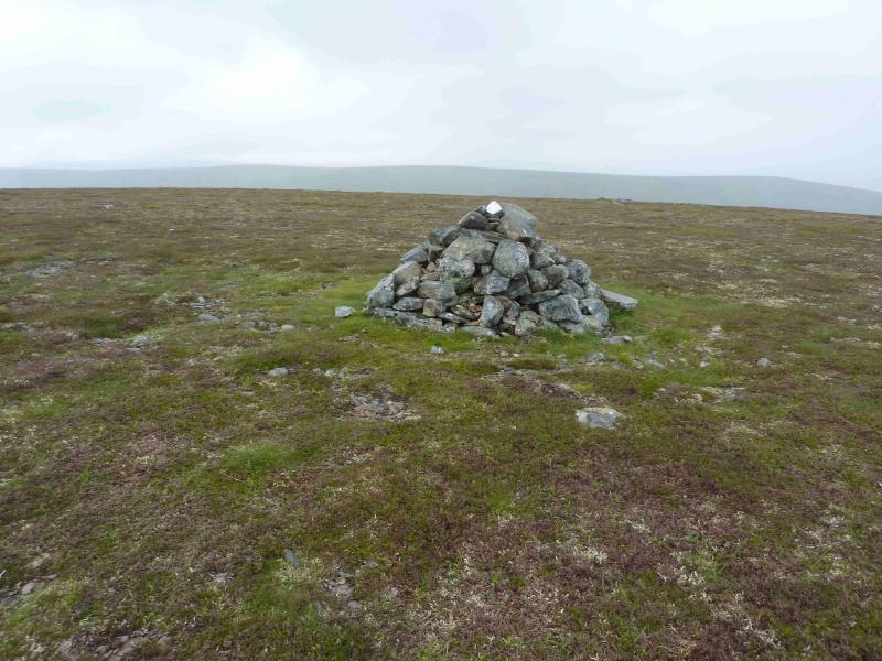
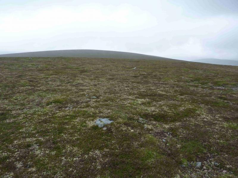
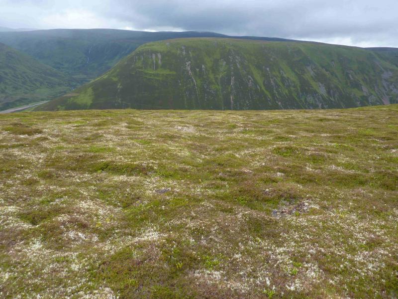
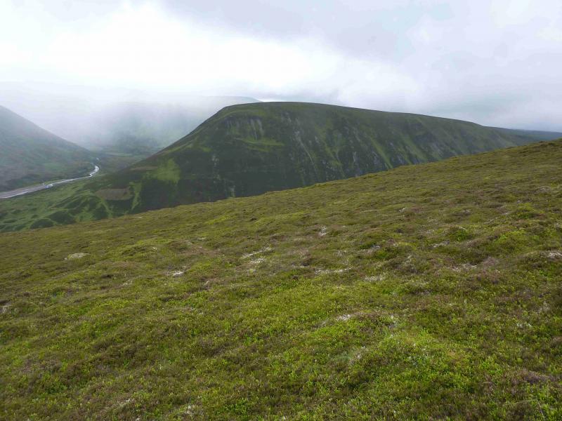
These two Corbetts lie either side of the remote Loch an Duin which sits in the Gaick Pass, a historic route between Blair Atholl and Kingussie. Both hills are flat topped with steep sides. Both hills have a north and south summit both of which are cairned. Observations on the ground suggest that, in both cases, the north summit is the higher but the south summits have the larger cairns! It is recommended that all four cairns are visited. The views from the summits are extensive but, generally, of high moorland hills such as the Drumochter hills. The steepness of these hills makes them a very serious undertaking if tackled in winter conditions. Even in Summer, they can be intimidating to some, especially in wet and windy conditions.
Route
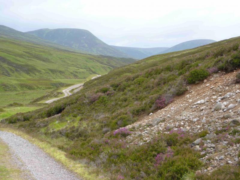
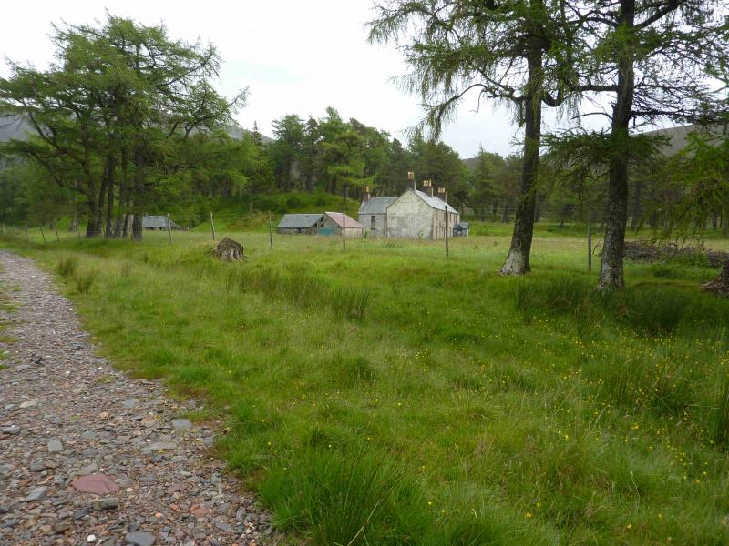
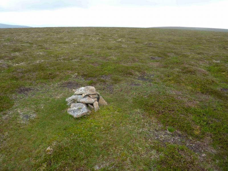
(1) Cross the busy A9 and take the track opposite which climbs uphill and enters a wood. Ignore the right fork in the middle of the wood and continue ahead to emerge by a large telecommunications aerial. Continue for about another 7 km to reach Sronphadruig Lodge which is now abandoned and fenced off. The track is slowly deteriorating but is generally OK with no steep sections. Just before the lodge, part of the track has been washed away so care is needed. Leave any bikes at the gate to the lodge and continue along the track. Stay on the right, E, side of the river and follow a path on the bank. Look for a fainter path going off left up the S ridge of An Dun. If this is missed, pick a way up the grassy strips and the path should be picked up later. It is most obvious where it passes through the heather. Continue up the steep slopes until the angle eases and one emerges on the summit plateau. The south summit is a medium cairn but further along, after a shallow dip, is a small cairn which marks the summit of An Dun, 827 m.
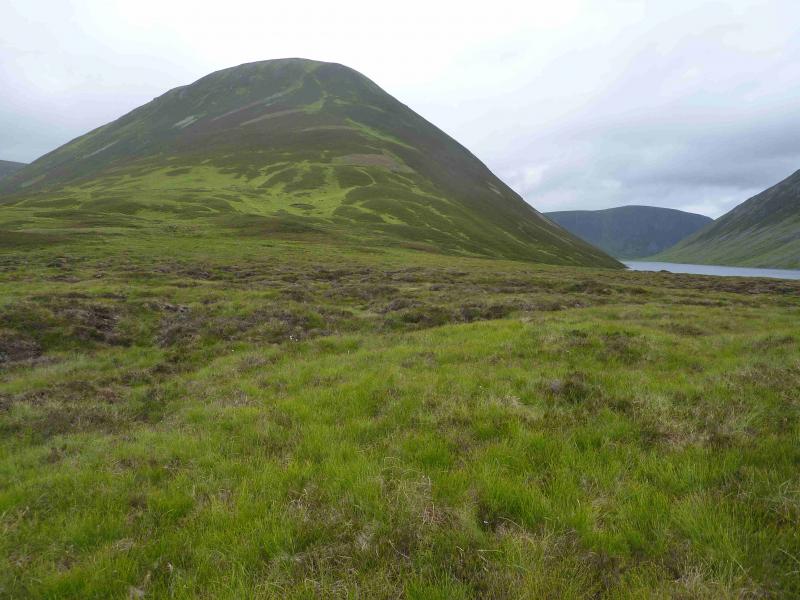
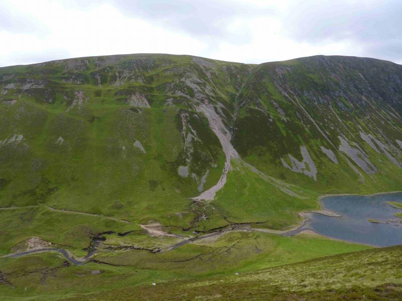
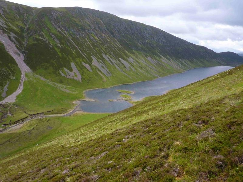
(2) The descent is just as steep as the ascent so continue along the N ridge and carefully pick a way down the steep grass, gradually drifting to the east, as the ground allows, to reach the outflow of Loch an Duin. In normal conditions the river is easy to cross to reach the track on the other side but after rain, it can be difficult to cross. Once across, reach the foot of the large gully near the N end of the loch. There is no obvious path up A' Chaoirnich but there are faint paths either side of the gully which can be followed up, often on steep ground, to the edge of the plateau. If the left side of the gully is chosen then there is a good path higher up which weaves and zig zags up to the edge of the plateau. From the edge of the plateau, walk roughly E to NE to reach a small cairn (not visible from a distance) which marks the summit of A' Chaoirnich, 875 m.
(3) In clear weather, a larger cairn will be seen to the south at a similar height. Walk to this cairn which is the south summit and seems slightly lower. From the S top, walk W to the edge of the plateau then walk S down the Creag an Loch ridge on a reasonable path. Just before the bealach, the path forks right and descends towards the lodge then the loch before petering out lower down. Drop down easy grassy slopes and pick a route across the very boggy ground S of Loch an Duin to join the outward track which can be followed back to the lodge gate and then Dalnacardoch.
Notes
(a) This walk took place on 28th May, 2005, and 15th July, 2012.
Photos - Hover over photo for caption. Click on to enlarge. Click on again to reduce.