Get Lost Mountaineering
You are here: Scotland » 06 Drumochter to Glen Shee » Tarf & Tilt Hills to Glen Tromie
Beinn Bhreac
Beinn Bhreac from Calvine
Start/Finish
Calvine village which is about 4 miles north of Blair Atholl. From the House of Bruar, at the northern end of the Blair Atholl loop road, take the road to Calvine. Park near the old petrol station. The route starts a few metres to the north and is signed the Minigaig Pass.
Distance/Time
24 km bike + 14 km walk About 8 - 9 hours with bike, 10 – 11 hours on foot.
Peaks
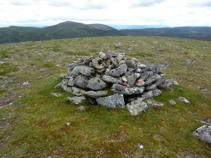
Beinn Bhreac, 912 m, NN 868 820. OS sheet 43.
Introduction
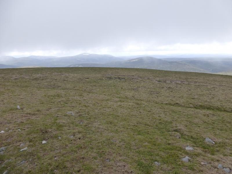
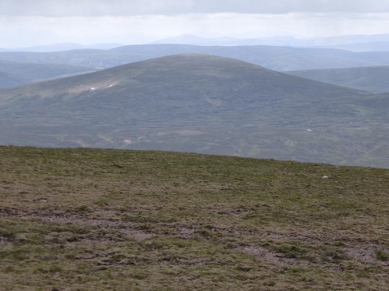
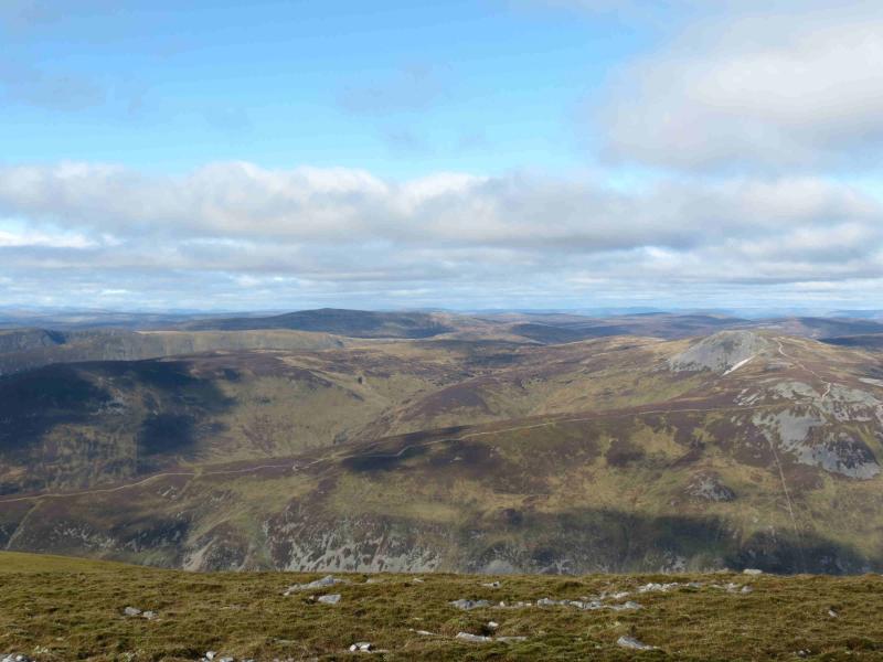
Beinn Bhreac is arguably the remotest Corbett and is one of many high moorland hills in the area. It is a good viewpoint for Beinn a' Ghlo and Carn a' Chlamain as well as the remote hills of Beinn Dearg (almost adjacent), Beinn Mheadhonach, Carn an Fhidleir and An Sgarsoch. It is possible to cycle past Bruar Lodge to within about 7 km of Beinn Bhreac but the track is rough and stony in places and there is a long and steep hill at the start. The occasional cyclist may push more than cycle on the outward route but should still reach the summit in under 5 hours (the Corbetts book gives the walking time as 5 hours 30 minutes). The return walk and cycle can be accomplished in a little over 3 hours. The route is mainly pathless once the stalkers path from Glen Bruar runs out but there are a few faint paths which aid progress and the ground is not too difficult to walk on.
Route
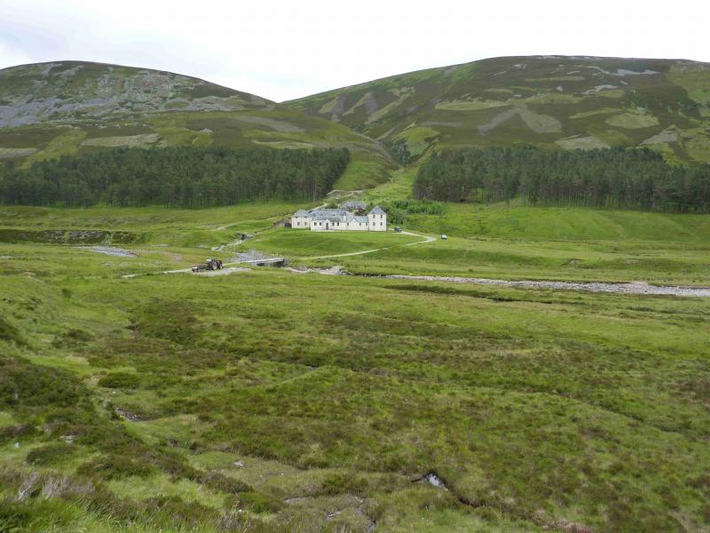
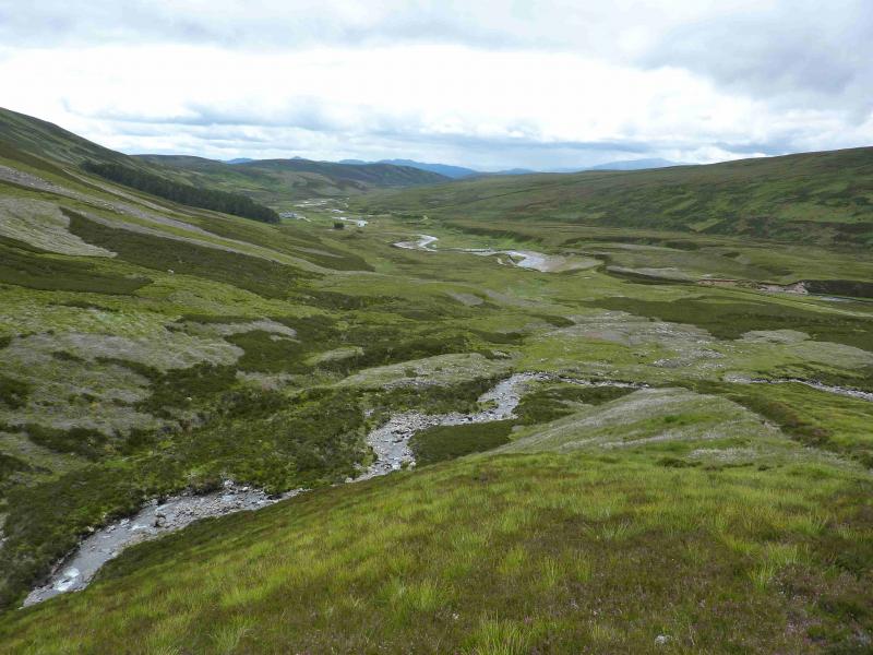
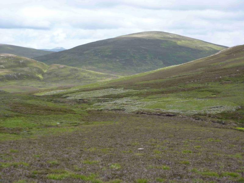
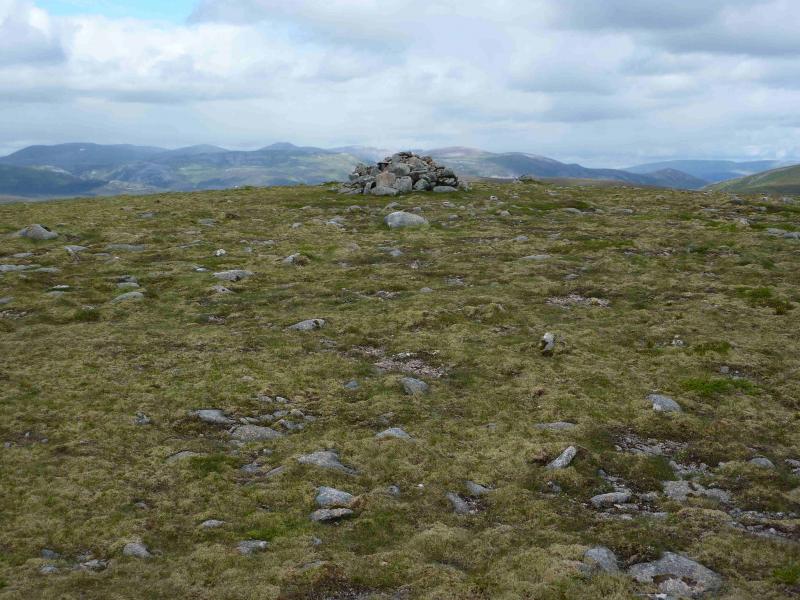
(1) Go up the track signposted “Minigaig Pass” and within a few metres fork right to soon reach the busy A9. Cross over and ascend the track almost opposite. This climbs steeply for quite some distance before the top is reached by an earth quarry. Descend into Glen Bruar and continue along the track, crossing the river by the bridge just before Bruar Lodge. The track passes the front (river side) of the lodge and is followed until the bridge over the Allt Beinn Losgarnaich close to a lochan on the river. Leave bikes here and walk up the left, N, bank of the burn. The path is faint at first but soon becomes a good stalkers' path. Folbove the burn.low the path up to the watershed past some scenic waterfalls. The path effectively ends at a small cairn in the watershed. Continue NE down the other side of the watershed. There are some faint paths on the right, E, side – the best ones are about 100 m above the burn. With care, a path can be found which passes the lochan at NN 849 803 on its S side before heading roughly NE. A few small cairns mark this path after the lochan. The SW bealach of Beinn Bhreac is quite peaty so stay well to the left, NW, on higher ground and aim for the SW ridge of Beinn Bhreac. A burn has to be crossed at the foot of the ridge which, in normal conditions, should not be difficult. Ascend the easy SW ridge to reach flatter ground on which there is a medium cairn which marks the summit of Beinn Bhreac, 912 m.
(2) Return by the same route.
Notes
(a) This walk took place on 4th May, 2003, and 14th July, 2012.
Photos - Hover over photo for caption. Click on to enlarge. Click on again to reduce.