Get Lost Mountaineering
You are here: Scotland » 06 Drumochter to Glen Shee » Tarf & Tilt Hills to Glen Tromie
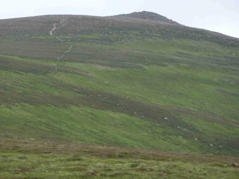
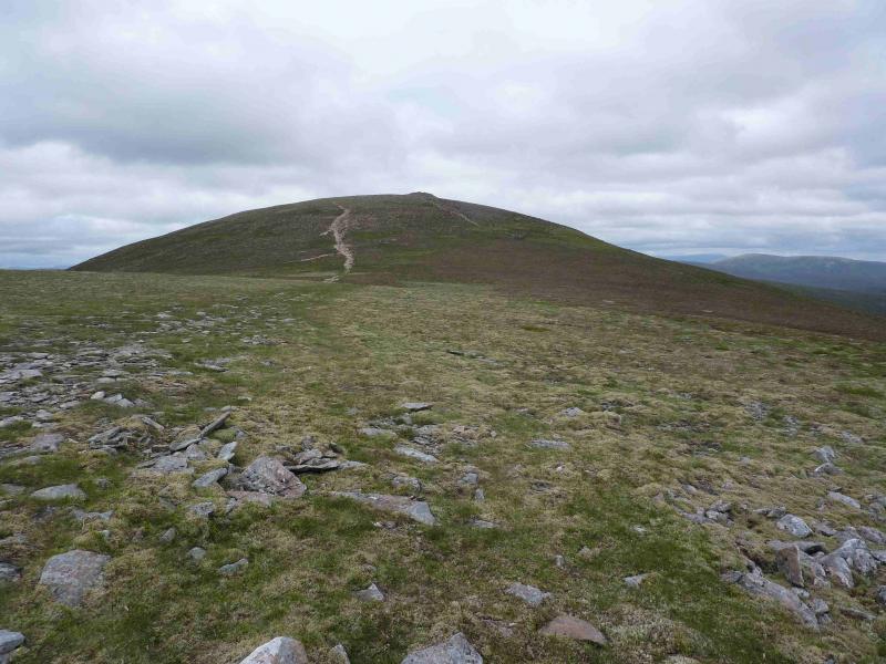
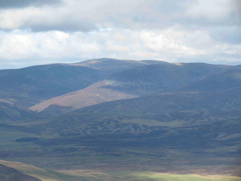
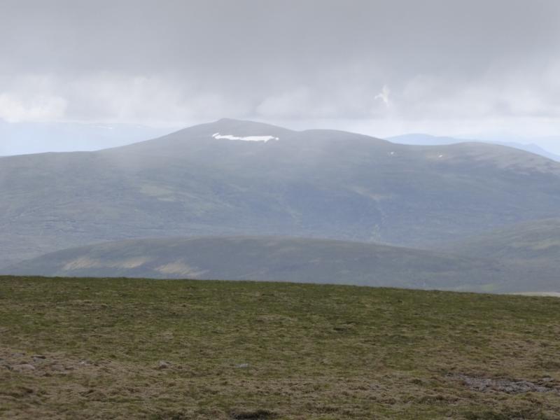
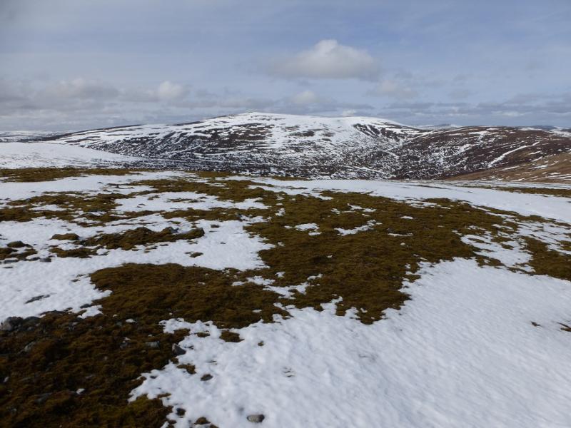
Beinn Dearg
Beinn Dearg from Blair Atholl
Start/Finish
Car park just after the Old Bridge of Tilt between Blair Atholl and Old Blair. From the centre of Blair Atholl, take the minor road on the E side of the Bridge of Tilt and follow the signs to the car park where there is also a useful information board.
Distance/Time
24 km bike + 5 km walk About 6 - 7 hours with bike, 8 – 9 hours on foot.
Peaks
Beinn Dearg, 1008 m, NN 853 778. OS sheet 43.
Introduction
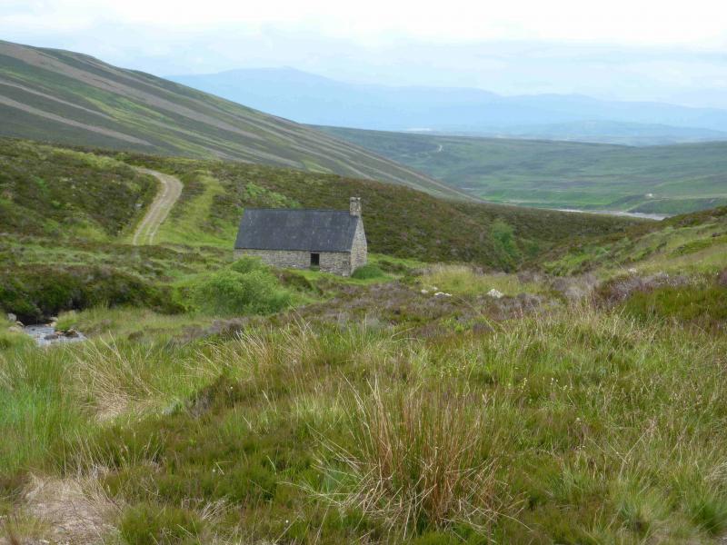
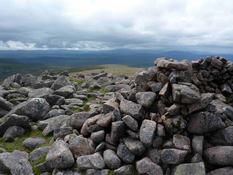
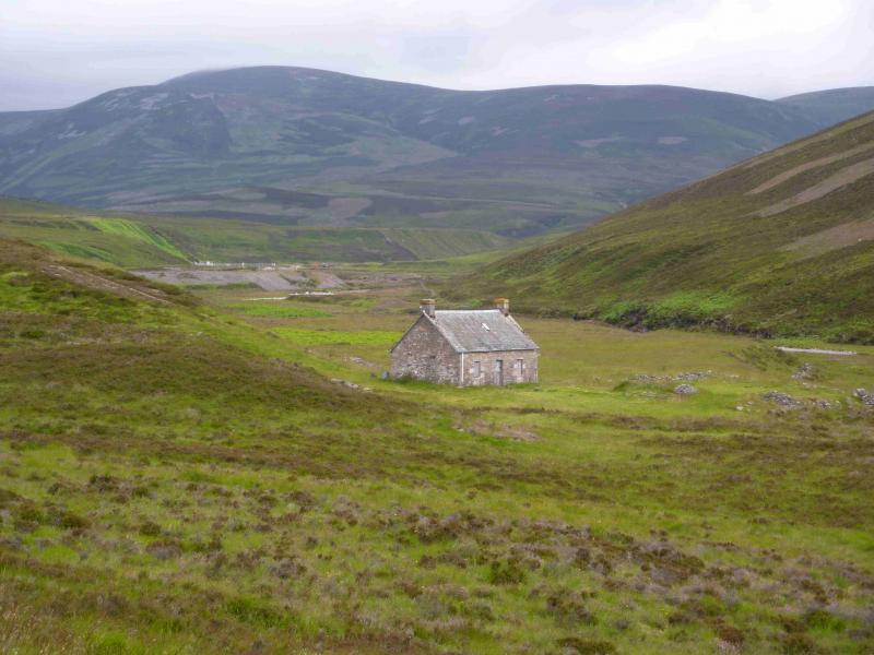
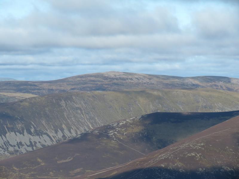
This is a solitary high moorland hill topping all the surrounding hills by at least 100 m. It is a good viewpoint for Beinn a' Ghlo and Carn a' Chlamain as well as the remote hills of Beinn Bhreac, Beinn Mheadhonach, Carn an Fhidleir and An Sgarsoch. The most popular approach is from Old Blair near Blair Atholl. It is possible to cycle about 2 km beyond the bothy on the Allt Sheicheachan but the old track is slowly deteriorating and goes relentlessly uphill most of the way. The occasional cyclist may push more than cycle on the outward route but should still reach the summit in under 4 hours (the Munros book gives the walking time as 4 hours 40 minutes). The return walk and cycle can be accomplished on a little over 2 hours. The bothy is well looked after, clean and in good condition. It is a pleasant place to stop.
Route
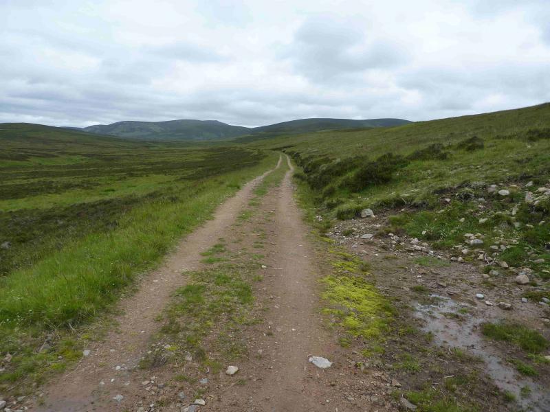
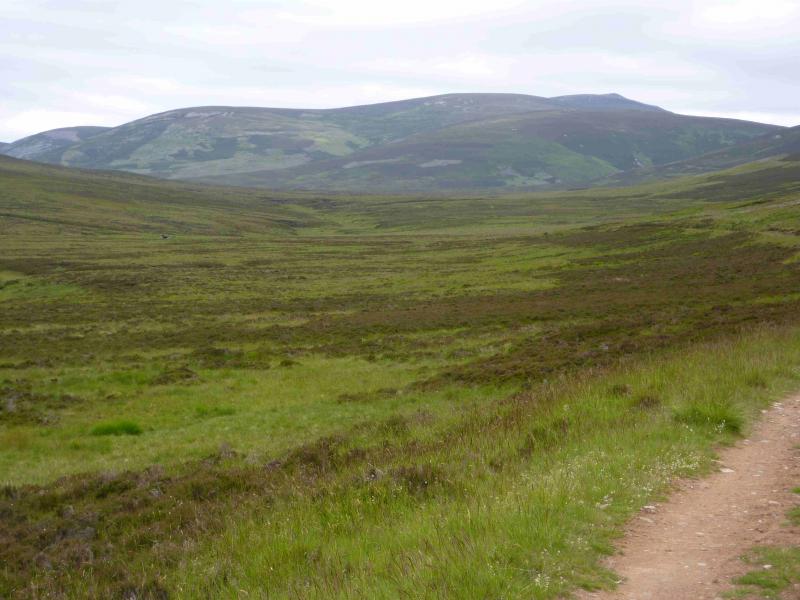
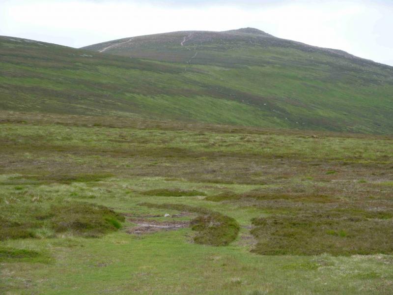
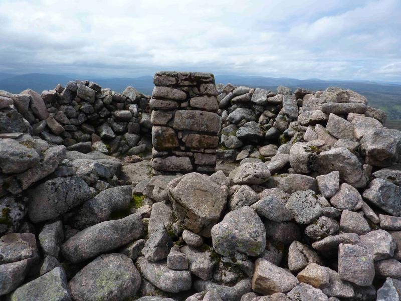
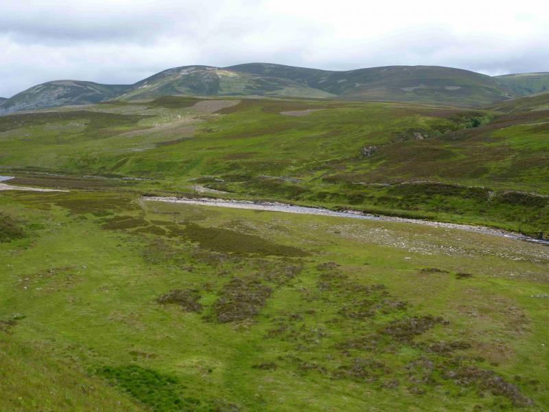
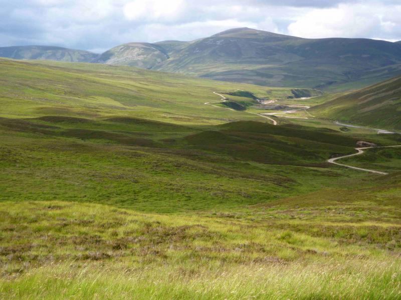
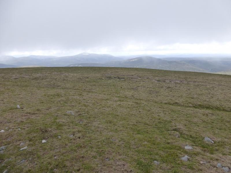
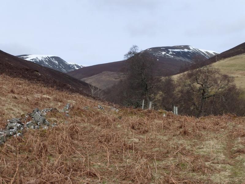
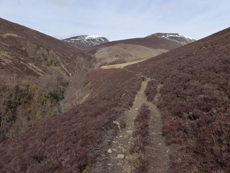
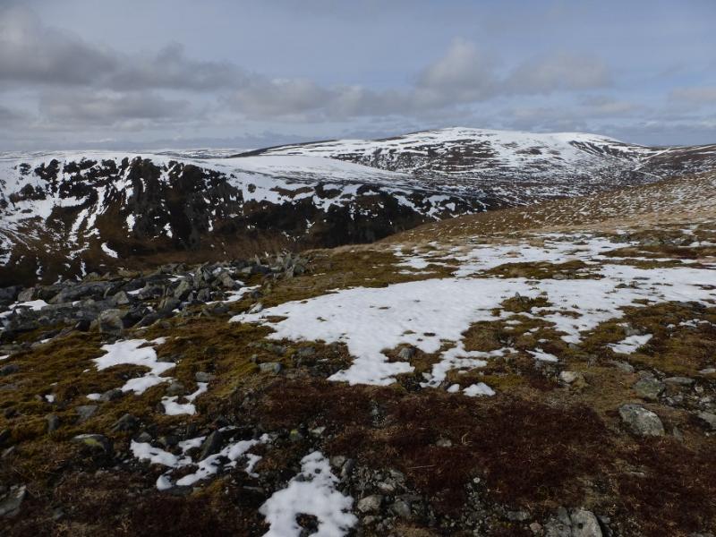
(1) Turn left out of the car park on to the minor road for Old Blair. Continue, ignoring all turns until a cross roads is reached with a large white house to the left. Go straight across here on to a gravel track and continue uphill. Further on is a left fork which goes downhill towards the burn. Ignore this and continue ahead, soon reaching the edge of the forest where there is a locked vehicle gate and an unlocked side gate for walkers and cyclists. Further on, there is a prominent pillar/cairn on the right. After about 9 km, reach a shallow bealach then descend to the bothy on the Allt Sheicheachan. The track crosses the Allt Sheicheachan behind the bothy (this may be a problem in spate) and continues for about another 2 km to a small cairn where a path continues and the track recrosses the burn and climbs. Leave bikes here and take the path which zig zags up on to the S ridge of Beinn Dearg then leads to a stone built trig point inside a shelter cairn which marks the summit of Beinn Dearg, 1008m.
(2) Return by the same route.
Notes
(a) This walk took place on 14th April, 1995, 30th April, 2005 and 13th July, 2012.
(b) An alternative return route (not checked out) is to return to the track and then follow the new track over the Allt Sheicheachan and over the W flank of Beinn a' Chait. This leads down to the crossroads near Old Blair but on 13/7/12 there was a high locked gate on this track.
Photos - Hover over photo for caption. Click on to enlarge. Click on again to reduce.