Get Lost Mountaineering
You are here: Scotland » 06 Drumochter to Glen Shee » Tarf & Tilt Hills to Glen Tromie
Ben Vrackie
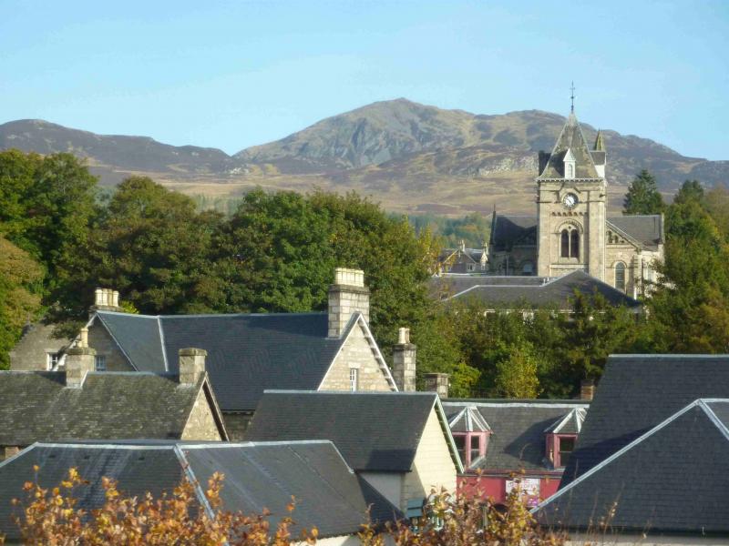
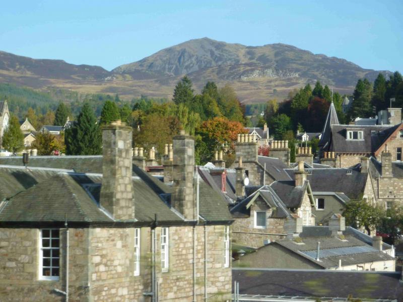
Ben Vrackie from Moulin, near Pitlochry
Start/Finish
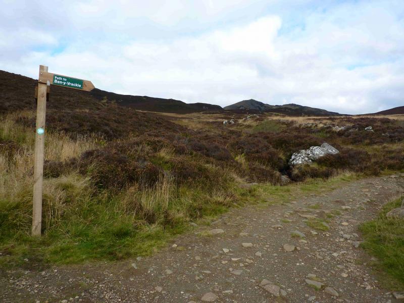
From Pitlochry, take the road, from the T junction in the centre of the town, signposted for Kirkmichael. The road climbs out of Pitlochry and, in just over 1 km, reaches the village of Moulin. Look for the Moulin Hotel on the left then turn left immediately after it – the turning is well hidden by the hotel which is almost on the road. The turning is signposted “Ben y Vrackie” as are all the required turnings. Shortly after the hotel car park, turn right (signposted) and continue, following the signs, until reaching the designated car park which is large enough for about 8 – 10 cars.
Distance/Time
8 km Approx 4 hours
Peaks
Ben Vrackie, 841 m, NN 950 632. OS sheets 43 & 52.
Introduction
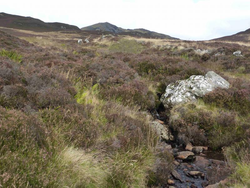
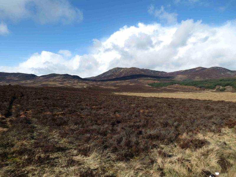
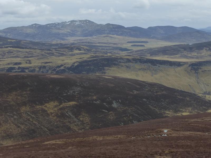
The Corbett of Ben Vrackie dominates the skyline to the NE of Pitlochry. Usually, it is a very straightforward, although strenuous, ascent. Virtually the whole of the walk is on OS sheet 43 and one could easily dispense with sheet 52. The route is well signposted using both way mark arrows and finger boards making a map superfluous for most walkers. Apart from the short level section across the end of Loch a' Choire, almost the whole route is uphill, steep in places. The paths are good with the final ascent from the dam being mainly engineered. All streams have bridges or proper stepping stones. The views from the summit are stunning but especially of Beinn a' Ghlo to the N. Despite the route being very easy to follow, even in thick mist, it is best kept for a clear day with little haze so that the views may be enjoyed.
Route
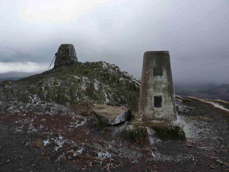
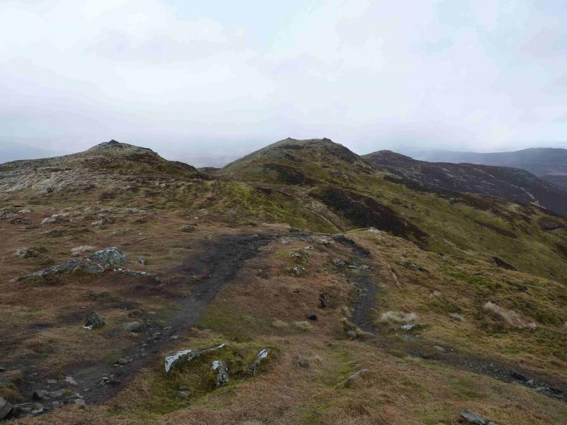
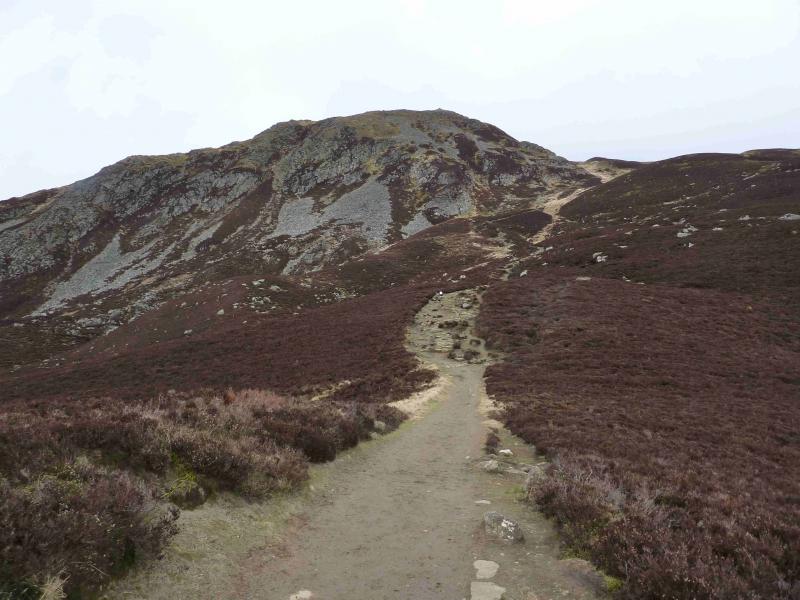
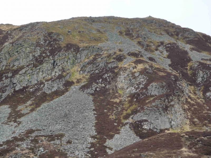
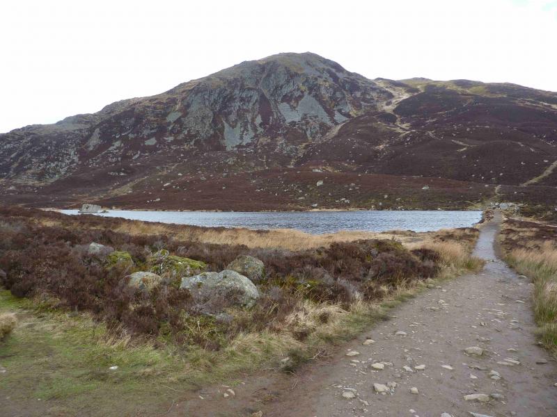
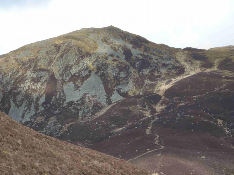
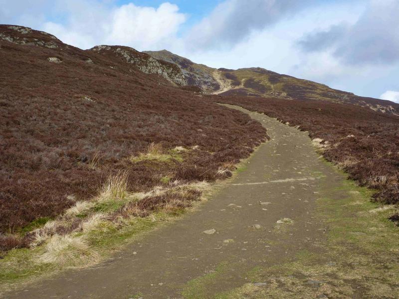
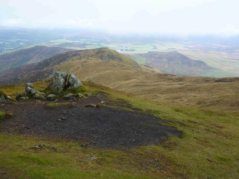
(1) From the car park, follow the signposted path which initially shadows a stream. This climbs steadily, first crossing a road then a track before emerging into open country where it heads N then NE to reach the low earthen dam at the SE end of Loch a' Choire. On the far side, an obvious stepped path rises up the SW flank and climbs over 300 m in less than 1 km before reaching the summit area where there is a trig point and a higher viewpoint indicator which marks the summit of Ben Vrackie, 841 m. The striking view to Beinn a' Ghlo is not seen until just before the summit. There are two lower tops on the ENE ridge which might be worth a visit in good weather.
(2) Return by the same route. It is possible to make a short detour, with about 100 m of ascent, over Meall na h-Aodainn Moire which is the peak on the opposite side of Loch a' Choire to Ben Vrackie. There are some obvious paths towards its summit from where there are good views of Ben Vrackie.
Notes
(a) This walk took place on 25th October, 2008, 7th March, 2012, 2nd October, 2012 and 5th October, 2012.
(b) It is possible to climb Ben Vrackie in the morning then drive to the summit of the A924 Pitlochry to Kirkmichael road and ascend the Graham of Blath Bhalg in the afternoon.
Photos - Hover over photo for caption. Click on to enlarge. Click on again to reduce.