Get Lost Mountaineering
You are here: Scotland » 06 Drumochter to Glen Shee » Tarf & Tilt Hills to Glen Tromie
Ben Vuirich
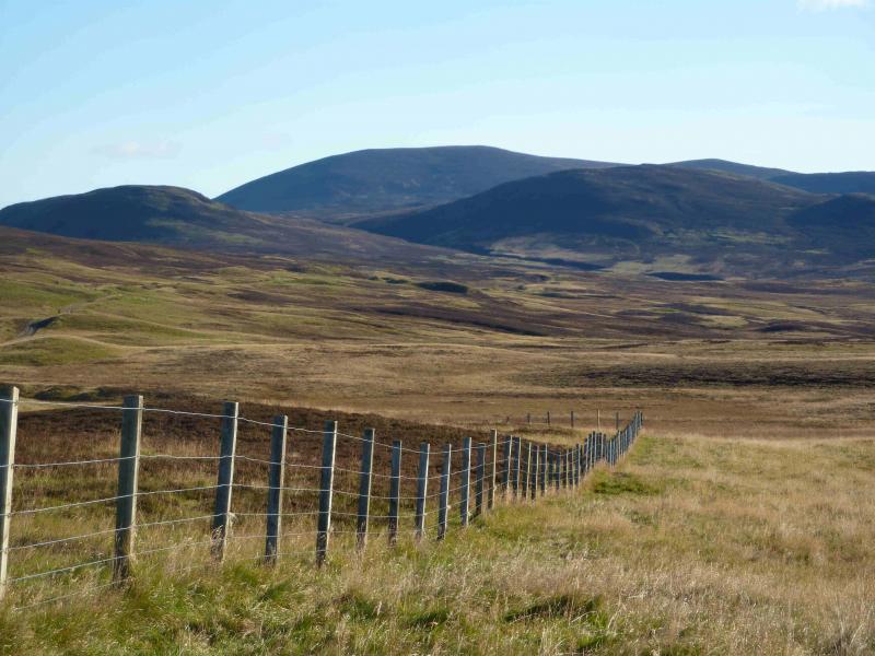
Ben Vuirich from Tarvie between Pitlochry and Kirkmichael
Start/Finish
From Pitlochry, take the road, from the T junction in the centre of the town, signposted for Kirkmichael. The road climbs out of Pitlochry, past Moulin and Kinnaird before going over a 384 m pass, which might be a problem in wintry conditions, before descending to Glen Brerachan. Look for a house signed Clunskea (shown on map). Just east of here is a bridge then a large entrance, signposted Tarvie, with a tarmac road leading past a house. On 10/3/12, the house up the tarmac road was under major reconstruction with large lorries going up to it. There is usually room for a couple of cars near to the entrance without causing an obstruction.
Distance/Time
16 km Approx 6 hours
Peaks
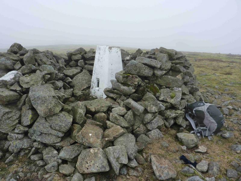
Ben Vuirich, 903 m, NN 997 700. OS sheet 43.
Introduction
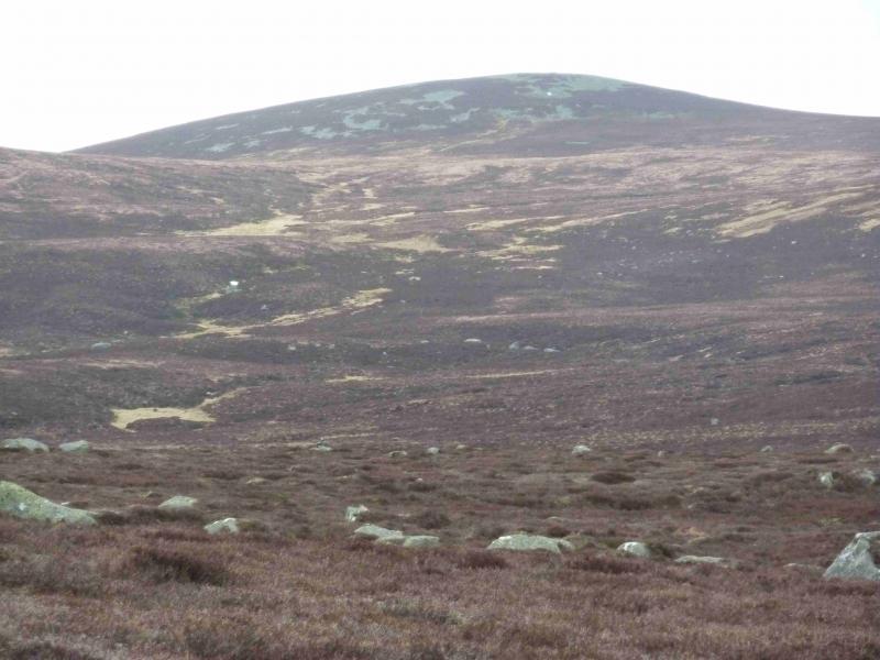
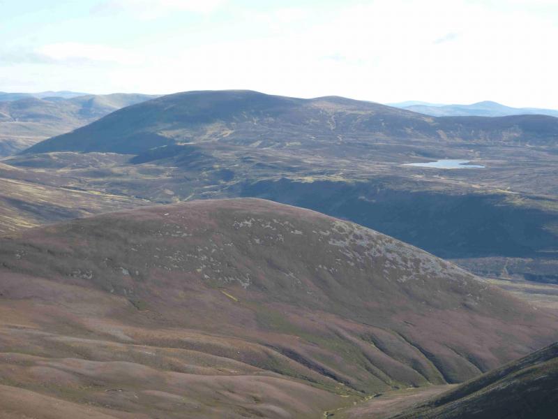
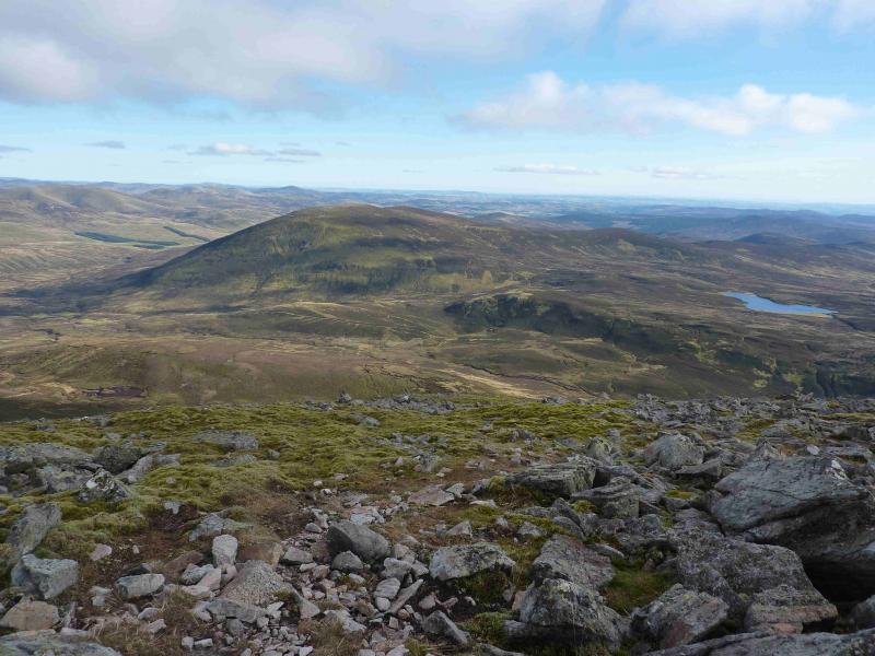
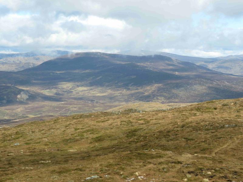
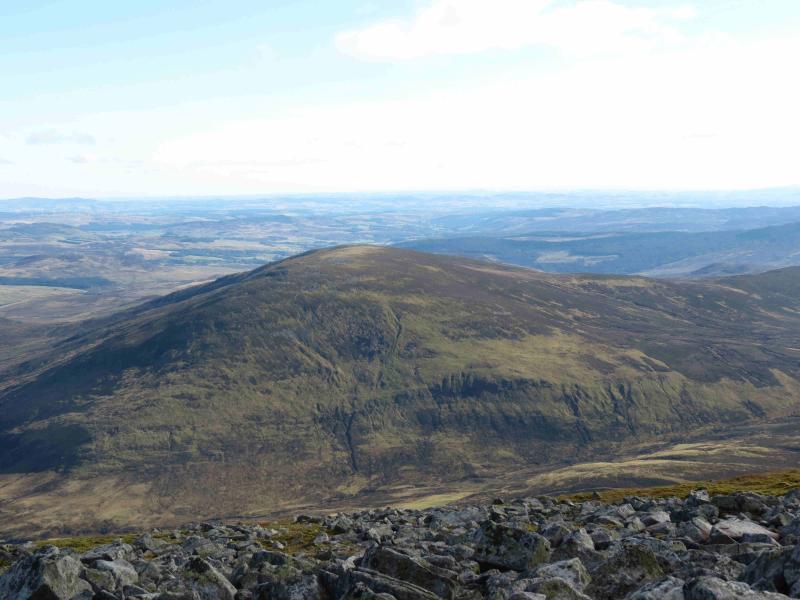
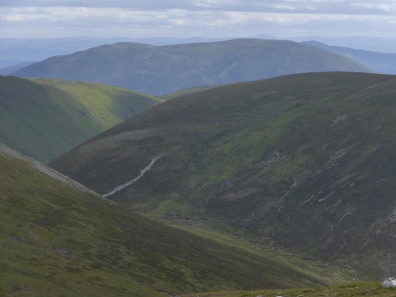
Ben Vuirich isan isolated hill which gives a pleasant high moorland walk. On a clear day, the views from its summit are extensive forming a huge arc from Ben Vrackie to the SW, Beinn a' Ghlo to the W and NW, the hills W of the Cairnwell Pass to the N, NE and E. This route is the one not recommended by the excellent SMC Corbetts guide as they describe it as “traversing much trackless peat bog” and they recommend a route from Loch Moraig instead. The ground is not as bad as the SMC describe and there is a track and path all the way although they are not always obvious and would soon be hidden by light snowfall. The ascent time is about an hour less than the SMC give from Loch Moraig with 3 km less walking each way. Ben Vuirich is well hidden for much of the ascent as it is behind Carn Dubh, the prominent peak on the walk in. The Creag nan Gobhar ridge is also prominent as the middle section of the walk in is parallel to this ridge.
Route
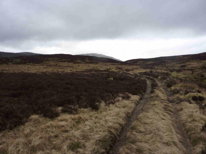
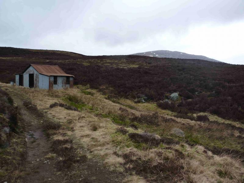
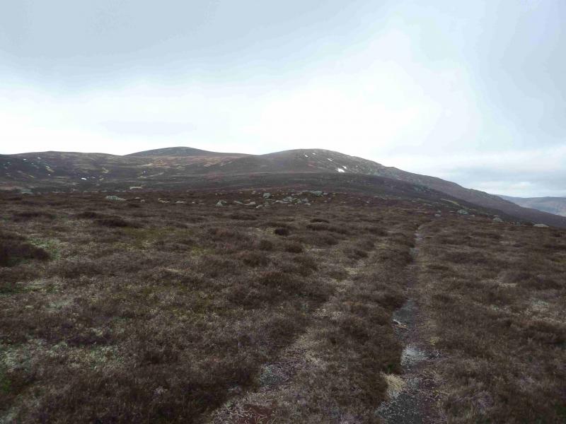
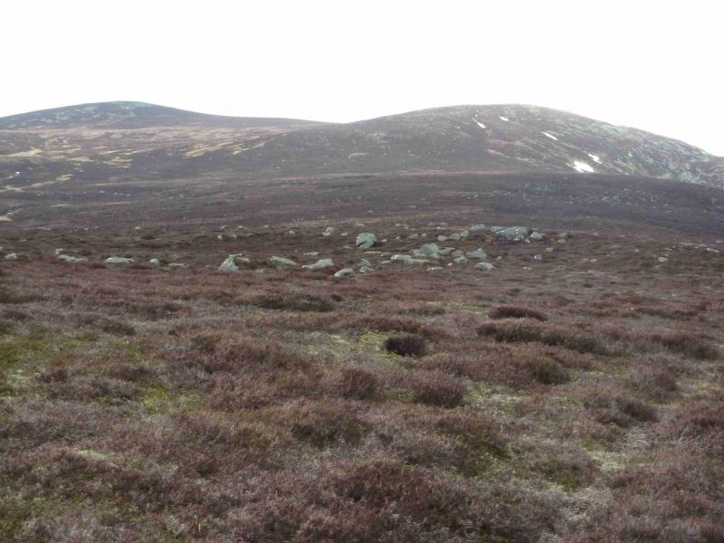
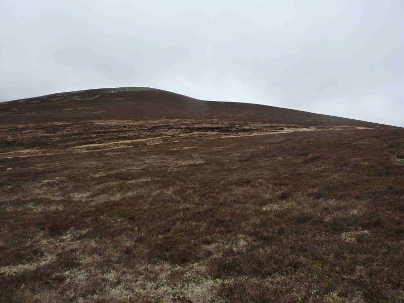
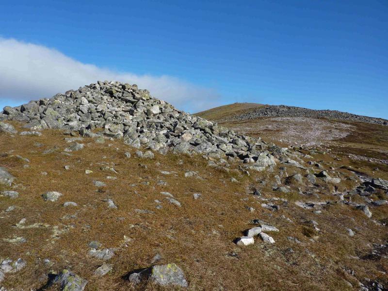
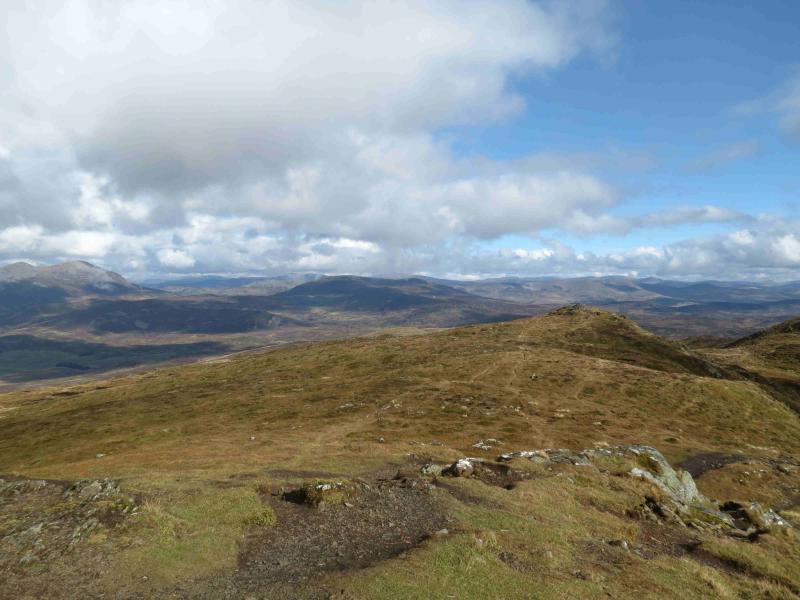
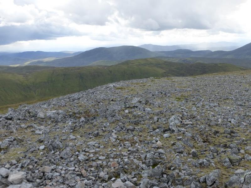
(1) Walk through the Tarvie road entrance past the house on the left. The house under construction has led to the fencing off of the site so blocking the track. Just before the road bends right to the house, a grassy track goes straight on. Follow this then go right on to another grassy track/path which takes one past the house and rejoins the track. Follow the track up hill, through a gate, aiming to pass to the left of the obvious wood. The track is faint below the wood but soon becomes better defined again. Continue on the track passing a small lochan on the right. The track crosses the Tarvie Burn by a bridge then crosses back without a bridge but crossing should not be a problem. Further on, it looks like the track splits. Ahead is level and soon peters out. Go left which climbs and soon reaches the building shown on the map as being the end of the track. It is actually a large corrugated iron shed. The track does not actually end here but continues although less well defined. Some may want to mark the location of the hut with a GPS as it is well hidden on the return. Continue on the track which heads roughly NW and is faint in places but not impossible to follow. At one point a very low rock step (about 0.5 m) may be encountered. The track is quite faint here but generally heads N. Before long however, it becomes very well defined again and climbs up on to the Druim Mor ridge and heads, with a few more faint sections, towards Carn Dubh. If in doubt, gain the crest of the Druim Mor ridge and one should soon encounter the track. If not, the walking is reasonably good underfoot on short heather and grass. The track finally peters out on the Druim Mor ridge but a path takes over. Some of this is good enough to be seen from a distance. The path traverses Carn Dubh on its E side before reaching the shallow bealach between Carn Dubh and Ben Vuirich then continues up the gentle SE ridge of Ben Vuirich before reaching a trig point inside a shelter cairn which marks the summit of Ben Vuirich, 903 m.
(2) Return by the same route but be careful not to lose the track on the Druim Mor otherwise the hut and the good track back to the start will be difficult to locate. If in doubt, stay on the crest of the Druim Mor until Carn Liath then descend SE, between the burns shown on the map to meet the good track.
Notes
(a) This walk took place on 2nd May, 2005, and 10th March, 2012.
(b) In clear weather, one can vary the descent by going roughly SSW to Creag nan Gobhar then descending to its bealach with Creag Chlacharnach before heading SE towards Carn Liath and between the two burns where the good track lies.
Photos - Hover over photo for caption. Click on to enlarge. Click on again to reduce.