Get Lost Mountaineering
You are here: Scotland » 06 Drumochter to Glen Shee » Tarf & Tilt Hills to Glen Tromie
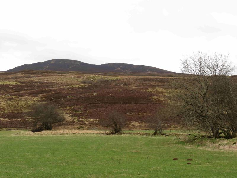
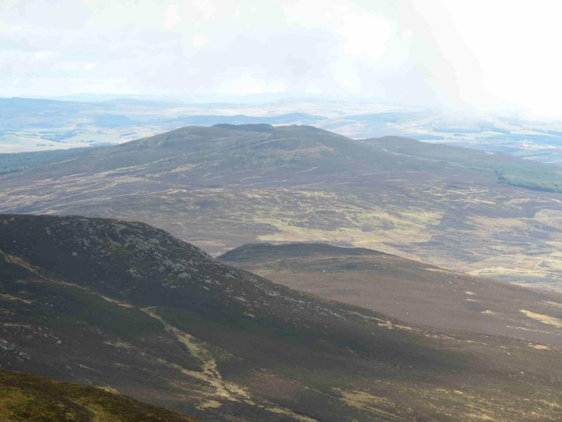
Blath Bhalg
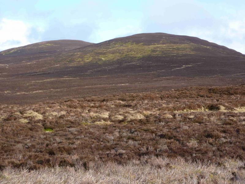
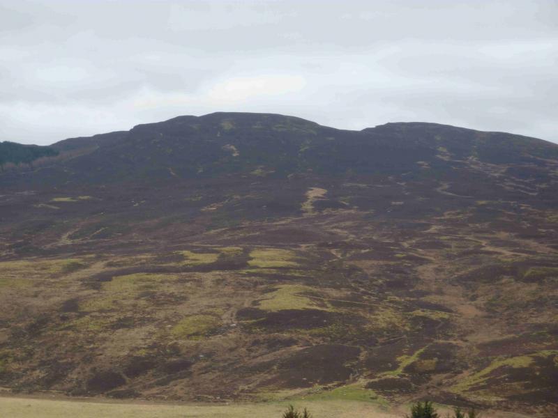
Blath Bhalg from near the summit of the A924 Pitlochry to Kirkmichael road.
Start/Finish
From the T junction in the centre of Pitlochry, follow the A924 for Kirkmichael. This goes past Moulin then Kinnaird, climbing steadily. In clear weather, there are good views of Ben Vrackie on the left, N. Just beyond the highest point of the road, look for two telecom masts, one on each side of the road and each set back about 50 m from the road. There is a large parking area between the road and the mast on the right.
Distance/Time
8 km Approx 3 - 4 hours
Peaks
Blath Bhalg, 641 m, NO 019 611. OS sheet 43.
Introduction
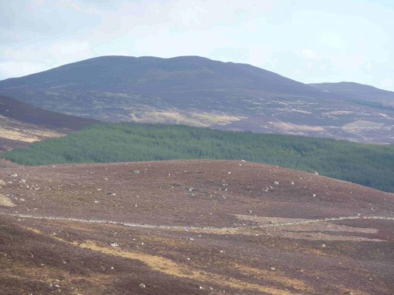
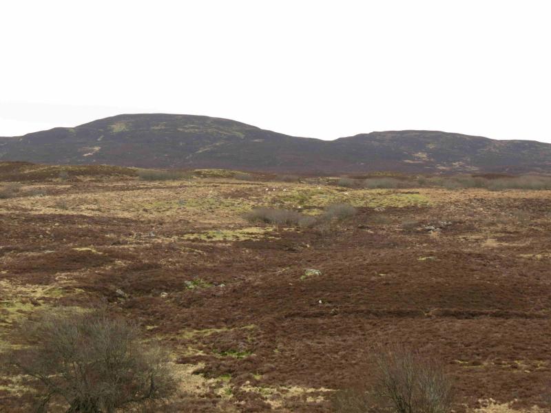
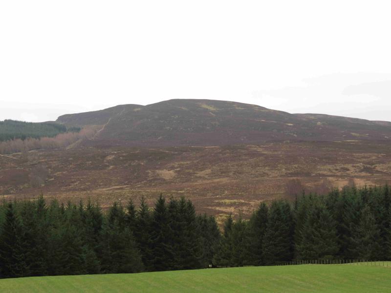
This Graham is the highest point on the S side of the A924 road from Pitlochry to Kirkmichael. This area is high moorland with the ground being a mixture of grass and heather. This could be a difficult hill to navigate in thick weather but there are some useful paths and fences to help – none of which seem to be shown on the map. In clear weather, there are good views to Ben Vrackie and Beinn a' Ghlo plus the Glen Angus and Glen Shee hills.
Route
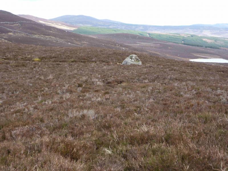
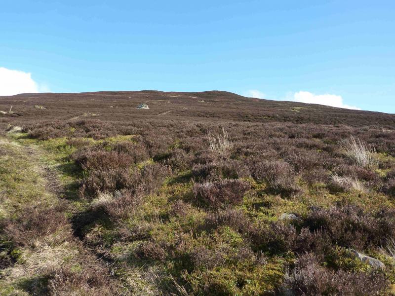
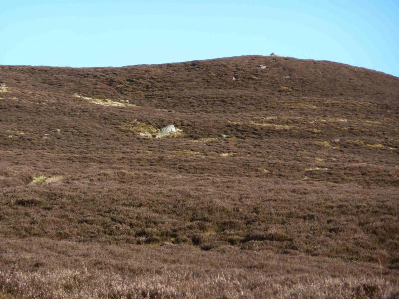
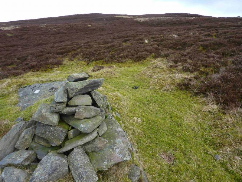
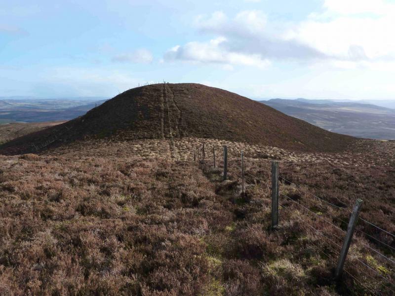
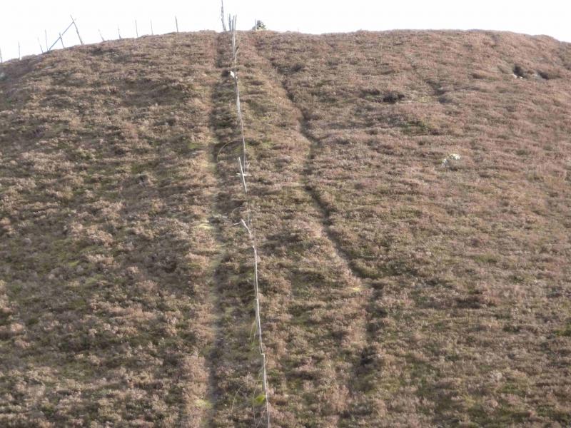
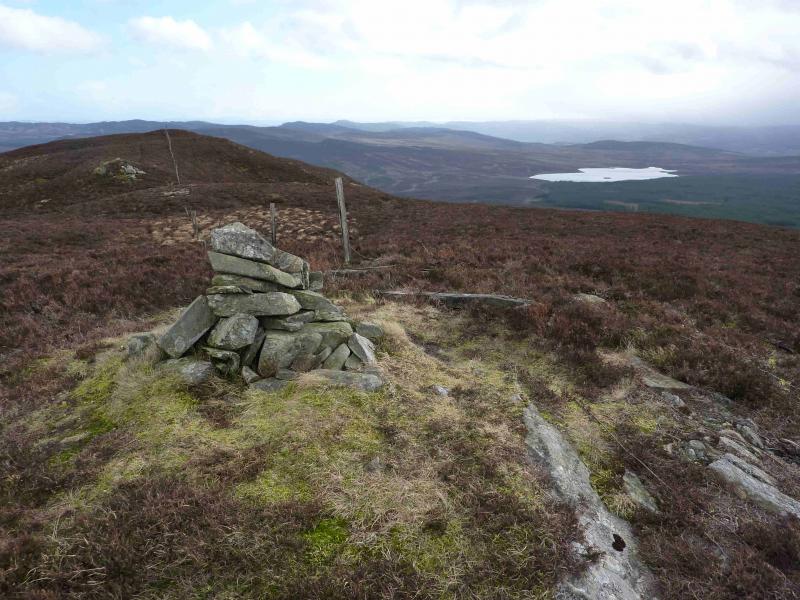
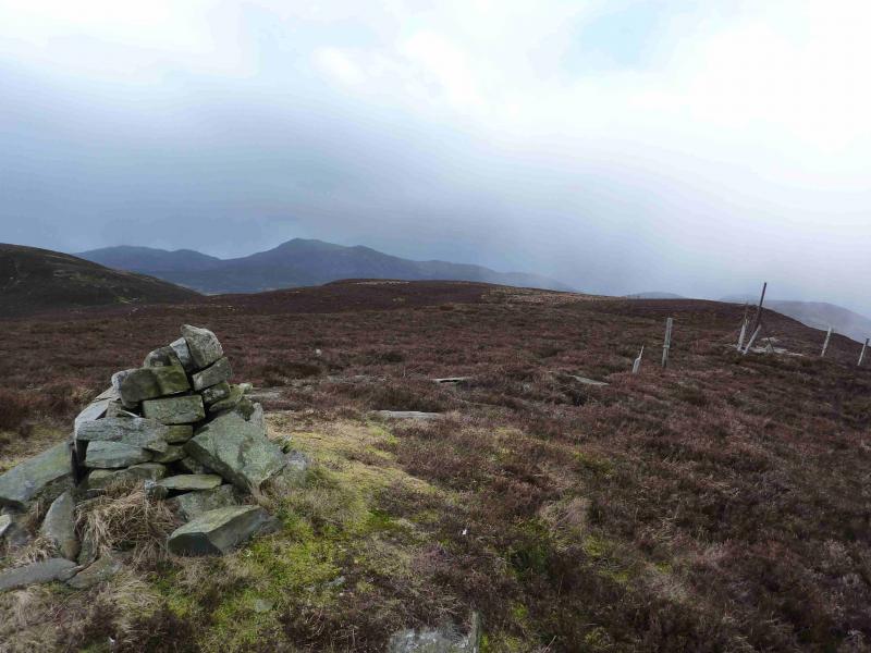
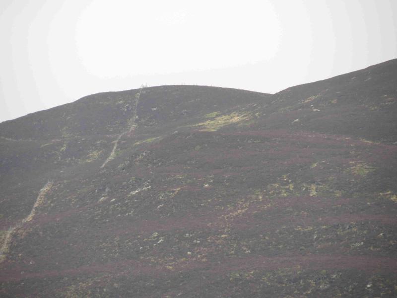
(1) From the parking place, go past the locked gate. In clear weather, the cairn ahead on the skyline should be just visible. The good track goes left to the mast but an obvious ATV track continues ahead before drifting left. A few posts stand to its left and the track is boggy in places. The track seems to end at two posts joined by wire meshing but a fainter track forks right. Follow this for about 100 m before striking uphill to reach the cairn mentioned earlier. This sits on the northern end of the ridge which goes S before curving around to the E and up to Blath Bhalg. Follow the roughly level and heathery bridge S taking care not to drift down the wide grassy corrie to the E. After a few hundred metres, and obvious in clear weather, a “track” through the heather is reached. In reality it looks like someone has been there with a lawn mower! The “track” gradually curves round towards the W ridge of Blath Bhalg before seeming to peter out about 30 m before a fence. About here, a narrow path forks off left to meet this fence at a corner the follows the fence up the W ridge. A subsidiary top is reached after which there is a descent of about 30 m before ascending ENE to a second top where the fence turns roughly SE, near a small boulder, and descends about 10 m before the final short ascent to the summit. Another fence comes in from the left just before reaching the small cairn which marks the summit of Blath Bhalg, 641 m. Below the E flank of the summit ridge is a large area of forest.
(2) Return by the same route and enjoy the almost head on views of Ben Vrackie and Beinn a' Ghlo. Alternatively, one could return to the second (middle) top then descend NNW to reach the path shown on the map at NO 011 623 and follow this back to the road but this then means a 2 km and 90 m climb up the road back to the start.
Notes
(a) This walk took place on 19th October, 2004 and 7th March, 2012.
(b) It is possible to climb this hill on the same day as Ben Vrackie. One can be climbed in the morning then drive to the other.
Photos - Hover over photo for caption. Click on to enlarge. Click on again to reduce.