Get Lost Mountaineering
You are here: Scotland » 06 Drumochter to Glen Shee » Tarf & Tilt Hills to Glen Tromie
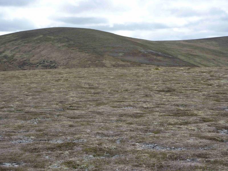
Leathad an Taobhain & Carn Dearg Mor
Leathad an Taobhain & Carn Dearg Mor from Glen Feshie.
Start/Finish
Car park about 1 km N of Achlean on E side of Glen Feshie. Achlean is on a minor road signposted from the B970 just N of Feshiebridge. From Aviemore, take the Cairngorm road and turn right, S, at Inverdruie, on to the B 970. Follow this S for about 4 miles to the Achlean turning.
Distance/Time
30 km Approx 9 hours
Peaks
Meall an Uillt Chreagaich, 847 m, NN 825 871.
Leathad an Taobhain, 912 m, NN 822 858.
Carn Dearg Mor, NN 824 912.
Carn Dearg Beag, NN 832 935. OS sheet 43.
Introduction
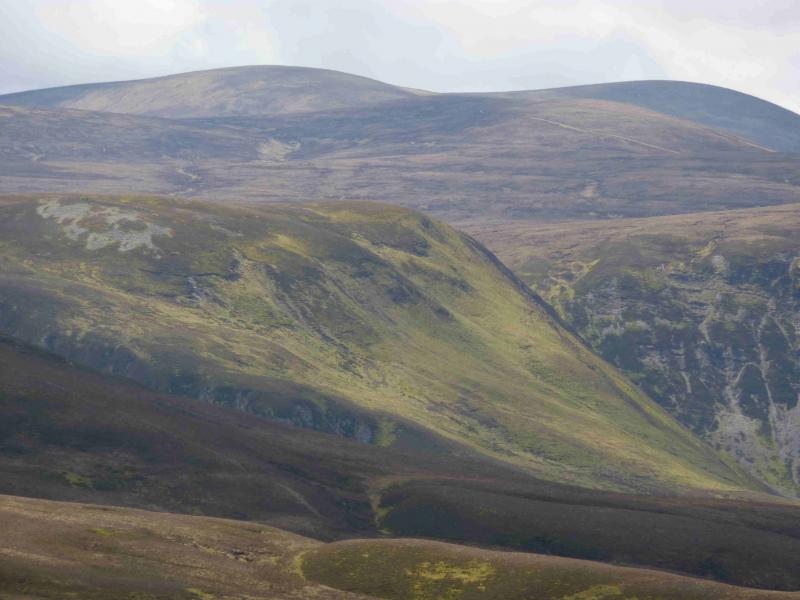
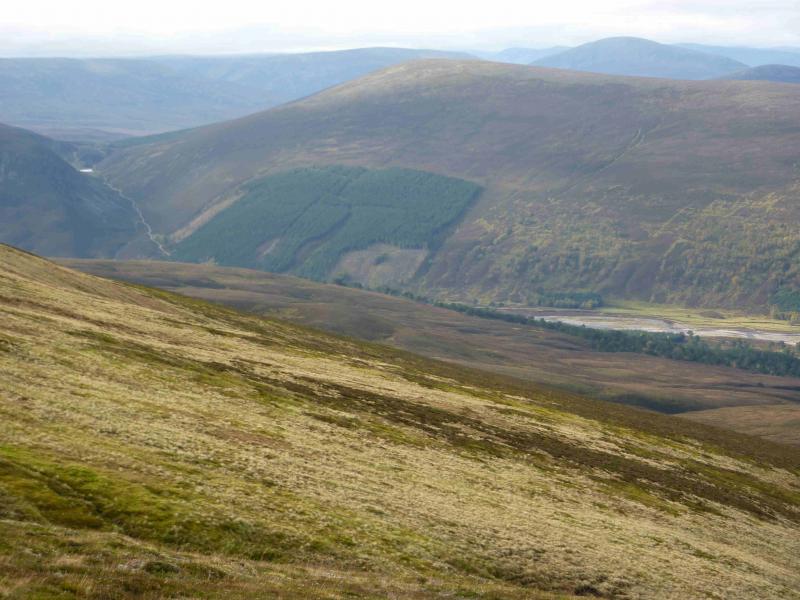
This is a long but pleasant walk to the Corbetts of Leathad an Taobhain and Carn Dearg Mor. Most of the route is on good tracks. There are fine views in all directions to include the Drumochter Munros, the remote Munros of Carn an Fhidhleir and An Sgarsoch but especially to the Glen Feshie Munros of Mullach Clach a' Bhlair and Sgor Gaoith and Braeriach and Cairn Toul behind them. This route is not affected by the washing away of the bridge over the River Feshie, S of Glenfeshie Lodge.
Route
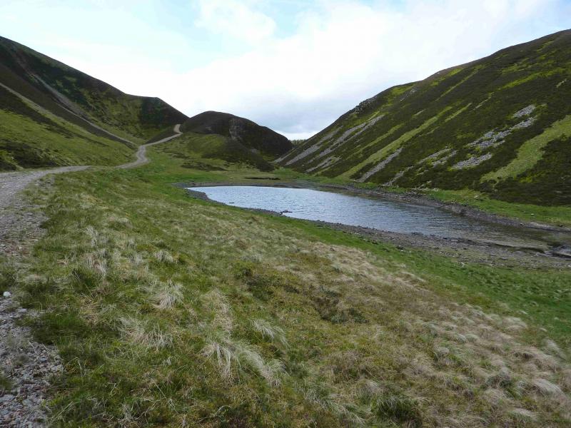
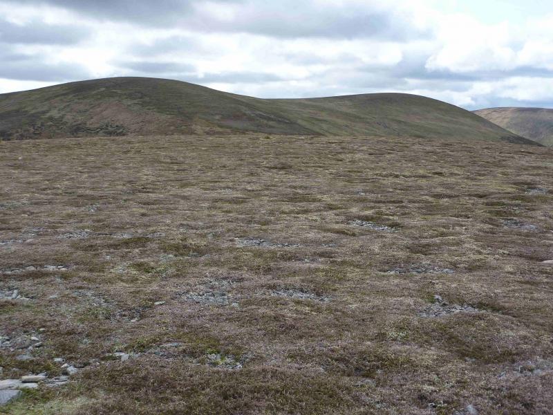
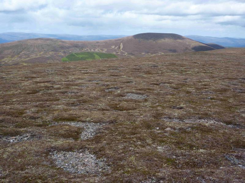
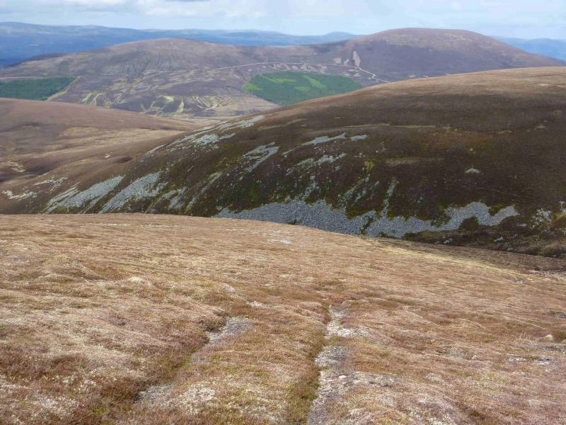
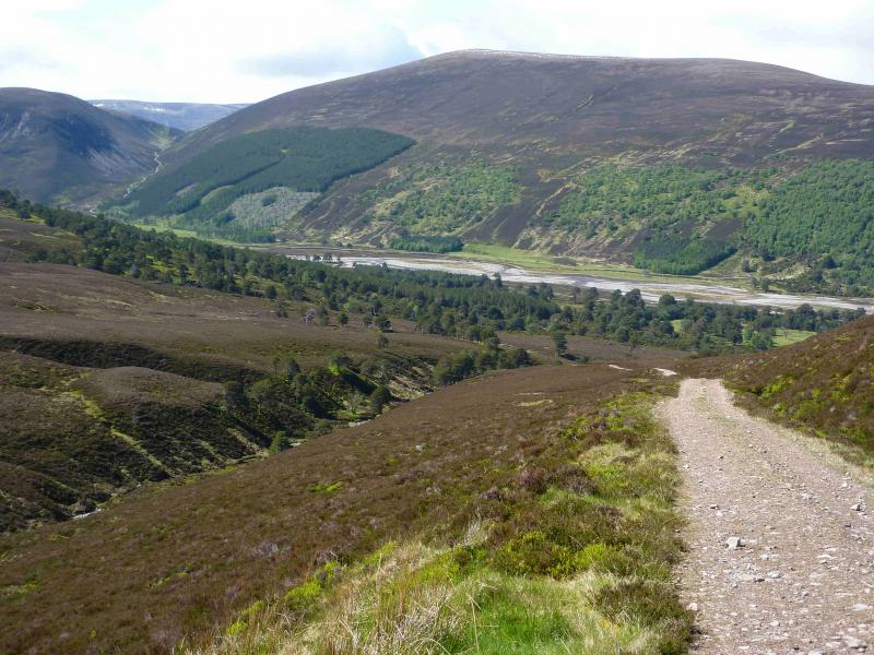
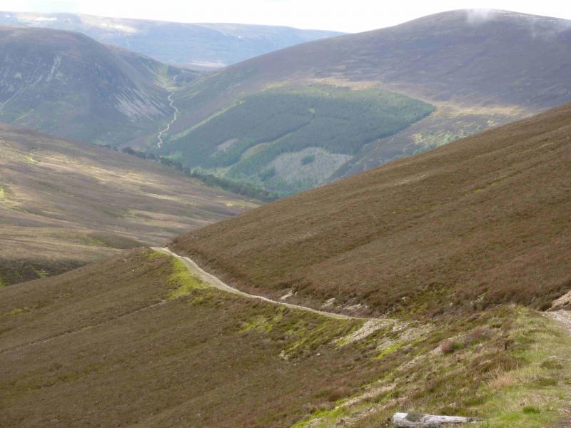
(1) From the car park, continue to the old farm at Achlean which is passed by a path on its left, E. Continue and pass through a gate then head diagonally, towards the river, across a wide grassy area. Cross the Feshie by the obvious bridge then continue S on the tarmac road. Pass a complex of buildings then fork left, on to a stony track, just before Glenfeshie Lodge. Continue to where the glen widens and reach two lone trees (which initially look like a single tree) where there are the final remains of an old ruin near by. The main track now leaves the glen, heading first W then S, heading for the obvious pass. Reach the small Lochan an t- Sluic then about 400 m further, fork left on a good track and follow this for about 4 km to the top of Meall an Uillt Chreagaich, 847 m, where there is a small cairn.
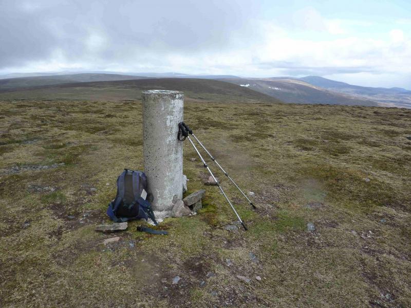
(2) Another small cairn, near by, indicates the start of a path down SSW into the dip just below the peaty bealach where there is another small ruin. A path, in part a track, leads up out of the dip. When it levels off, turn right and soon reach the summit trig point of Leathad an Taobhain, 912 m.
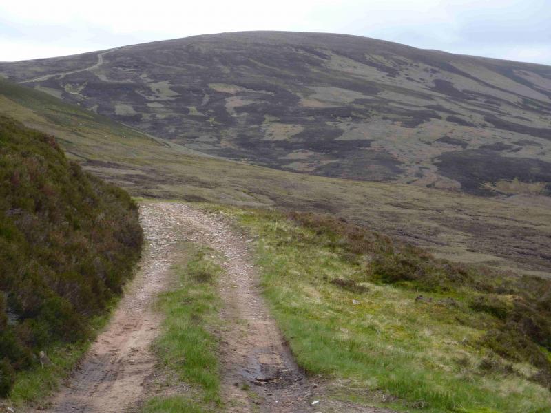
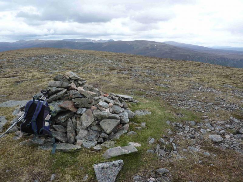
(3) Retrace all the way to the fork above Lochan an t-Sluic. Turn left and follow the obvious track up Carn Dearg Mor. In the middle of a level section, look for a track going off right, N, and follow it on to the crest where it turns right, E, and leads to the medium summit cairn of Carn Dearg Mor, 857 m.
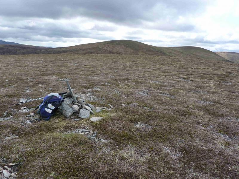
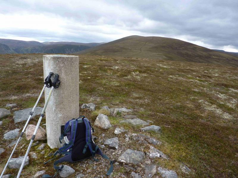
(4) Continue on the track, NNE, along a grassy/stony ridge then down to a grassy hollow then up a short rise to the circular trig point of Carn Dearg Beag, 694.
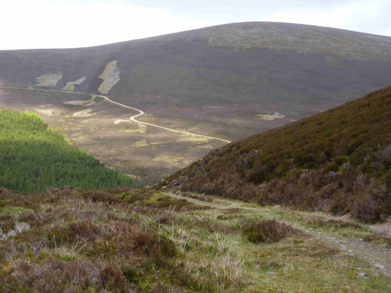
(5) The track now becomes a path and heads NNE down the crest but seems to peter out about 600 m from the main track ahead which crosses the ridge. Once this track is reached, there are two alternative routes. The simpler, but longer route is to follow it right and down to Glen Feshie then follow the main track in the glen N. The shorter, but rougher route, is to look for a grassy strip, starting at a hollow in the track, containing a tiny burn and follow that down to a slightly larger burn which can be followed down to Glen Feshie. Follow the Glen Feshie track N to the bridge and then retrace the outward route back to the car park.
Notes
(a) This walk took place on 19th May, 2011.
(b) It is possible to drive down the W side of Glen Feshie to the end of the public road then cycle the 10 km to the two lone trees. It is not possible to use a cycle from Achlean.
Photos - Hover over photo for caption. Click on to enlarge. Click on again to reduce.