Get Lost Mountaineering
You are here: Scotland » 08 Cairngorms and Buchan » East of Lairig Ghru to Lairig Laoigh Hills
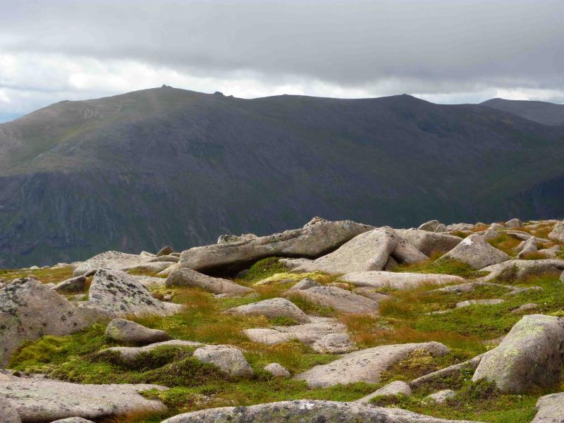
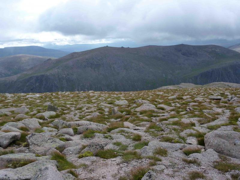
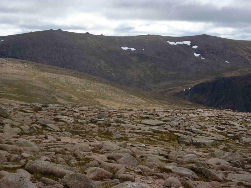
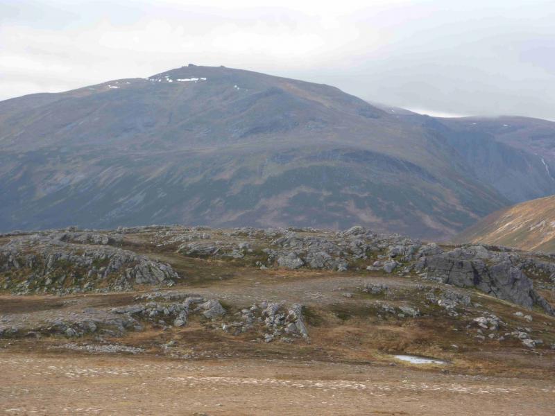
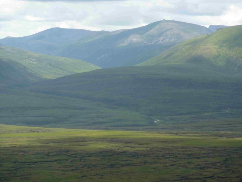
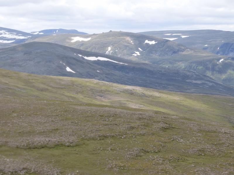
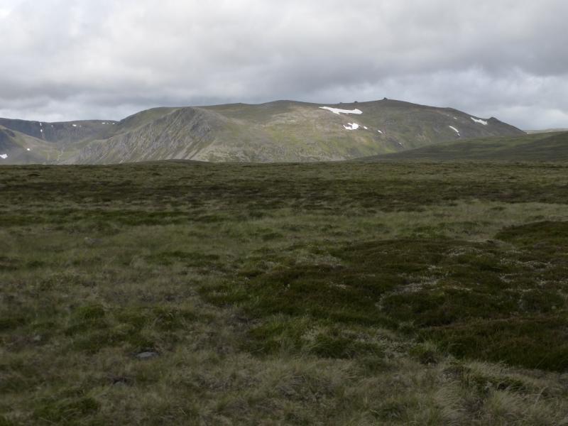
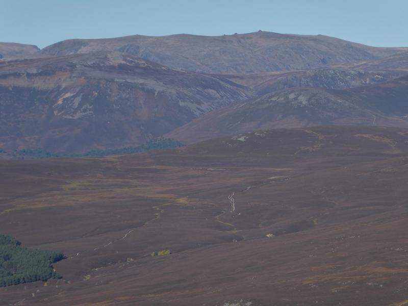
Beinn Mheadhoin & Carn Etnachan from Cairngorm Top Car Park
Beinn Mheadhoin & Carn Etnachan from Cairngorm Top Car Park
Start/Finish
Cairngorm Top Car Park
Distance/Time
26 km About 10 hours
Peaks
Beinn Mheadhoin, 1182 m, NJ024016.
Stob Coire Etnachan, 1082 m, NJ 024005.
Stacan Dubha, 1014 m, NJ012014.
Carn Etnachan, 1120 m, NJ003009. OS sheet 36.
Introduction
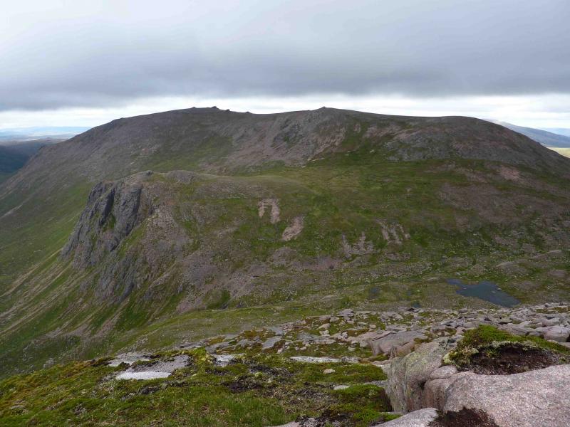
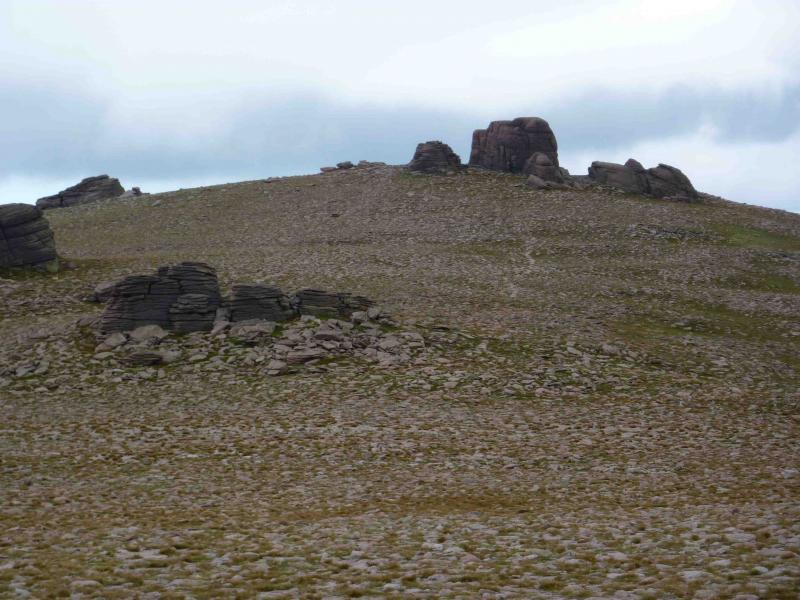
With its distinctive skyline of granite tors, Beinn Mheadhoin sits at the heart of the Cairngorm Mountains surrounded by Cairngorm, Ben Macdui, Derry Cairngorm, Ben a’Chaorainn and Bynack More. To the east it looks down on the Lairig Laoigh, to the west it looks down on Loch Avon. This route crosses the Cairngorm plateau, descends to Loch Avon and the Shelter Stone, ascends Beinn Mheadhoin and its tops before returning over Carn Etnachan. On a good day there are excellent views almost all the way. This is a straightforward summer walk in good weather but, in winter, is only for the experienced and competent.
Route
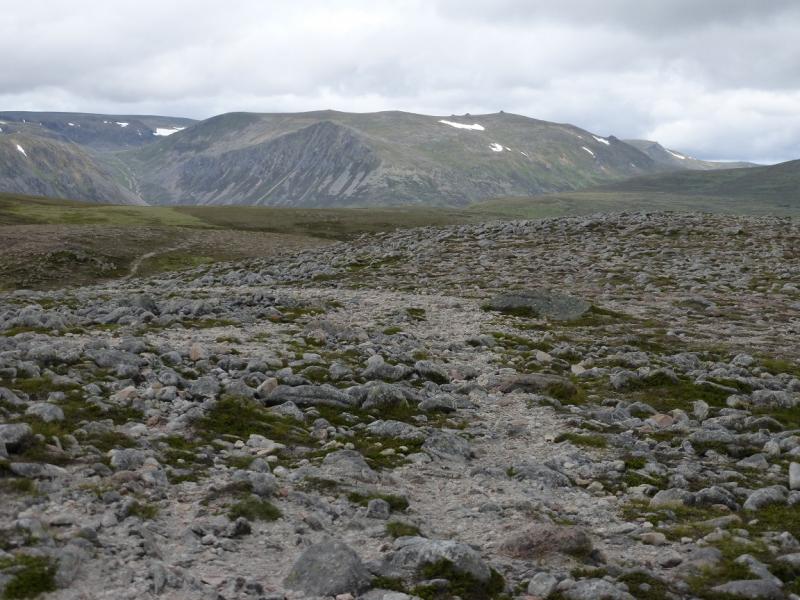
(1) Park in the top Cairngormcar park. Take the Northern Corries path (west) which heads towards Ben Macdui. At the first fork, go left into Coire an Sneachda on a very good path which climbs gently into the corrie until reaching a boulder field near some lochans. Cross the boulder field and go around the lochan in front of the headwall where an obvious path zigzags up the headwall to emerge on the plateau at the Cairn Lochan/Stob Coire an-t-Sneachda bealach.
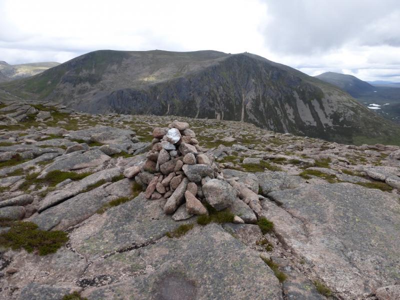
(2) Head SSE and soon start to descend easy slopes into Coire Domhain. Keep to the east (left) of the Burn. The path is intermittent in places especially high up where it can also be wet and slippery before becoming dry, rocky, and better defined. As the descent steepens, views of Beinn Mheadhoin, Loch Avon and Carn Etnachan, with its buttresses, start to open up. At the bottom, the path crosses the Feith Buidhe burn which has to be crossed just above Loch Avon. If the burn is in spate, a short detour upstream allows it to be crossed as 3 separate tributaries. The path then passes through the Shelter Stone area. The Shelter Stone itself is large and has a cairn on its “roof” but there are now several other “shelter stones” in the area. Climb out of the Loch Avon basin on the obvious path heading towards Loch Etnachan. Before reaching the loch, climb easy slopes ENE then NW to Stacan Dubha, 1014 m, from where there are excellent views in all directions but especially down Loch Avon.
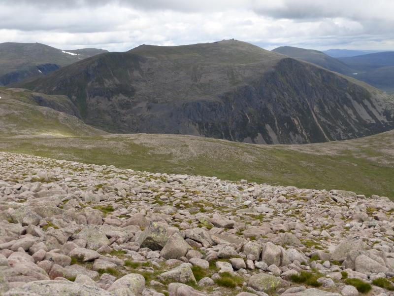
(3) From Stacan Dubha, head SE, descending slightly then climbing, on an intermittent path to gain the summit ridge of Beinn Mheadhoin then descend SE to a bealach and climb easy slopes to Stob Coire Etnachan, 1082 m.
(4) Return, descending slightly with a longer ascent, to the main ridge and walk NE on gentle slopes to the main summit of Beinn Mheadhoin, 1182 m. The summit is the top of the highest tor which can be ascended by an easy scramble on rough rock from its north east side.
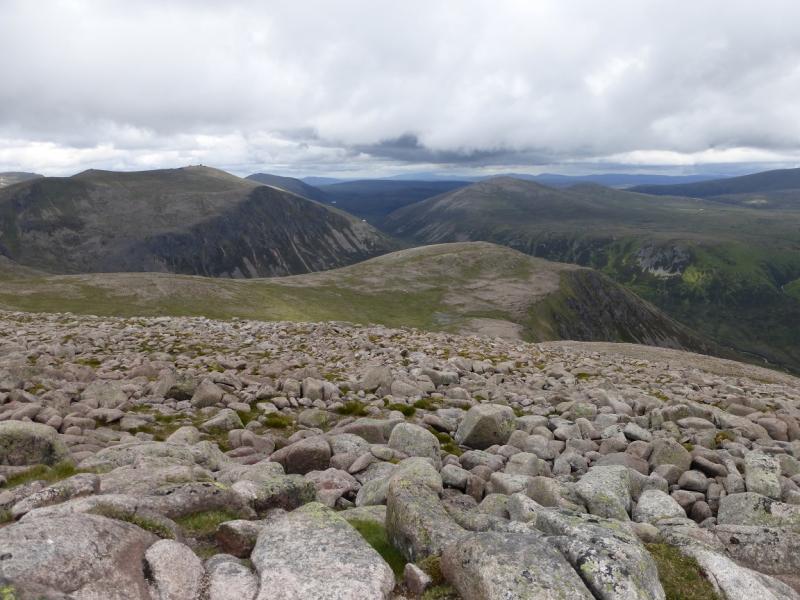
(5) Return along the main ridge and descend (path) towards Loch Etnachan to rejoin the path down to the Shelter Stone area slightly above the point where it was left on the approach. Before reaching the small lochan to the north of Loch Etnachan, head for a steep grassy ramp between the rocks of Carn Etnachan. Ascend this ramp on a faint but obvious path of level footsteps. The path fades out higher up where it gets rockier. From here it is a very easy walk to the summit cairn of Carn Etnachan, 1120 m, another excellent viewpoint especially for Loch Avon. This part of the route avoids additional loss of height by descending back to Loch Avon.
(6) Follow the summit ridge, walking SW for about 300 m then contour W to SW on mainly grassy ground and keeping to the east of the rocky ground. Cross the burns flowing off Ben Macdui then head NW to cross the shallow hollow of the upper Feith Buidhe burn well to the east of Lochan Buidhe to join the obvious Cairn Lochan/Ben Macdui path which skirts the west side of Coire Domhain and leads to the Cairn Lochan/ Stob Coire an-t-Sneachda bealach. From here retrace the outward route down the zig-zag path into Coire an Sneachda and back to the start.
Notes
(a) It is possible to use the Coire Raibert route instead of Coire Domhain but Coire Raibert is now dangerously eroded in its lower reaches above Loch Avon and is not recommended.
(b) The detour to Stob Coire Etnachan could be omitted, saving about an hour.
(c) In good Summer weather, this is a very straightforward, albeit strenuous route. In bad weather, navigation will be a problem as the plateau is quite featureless and the grassy ramp on Carn Etnachan may be hard to locate. In Winter, this is a very serious undertaking and daylight may be a problem.
(d) From Carn Etnachan, it is possible to include Ben Macdui, returning by the very well defined Northern Corries path. This could add 1-2 hours to the walk.
(e) This walk took place on 3rd August, 2009.
Photos - Hover over photo for caption. Click on to enlarge. Click on again to reduce.