Get Lost Mountaineering
You are here: Scotland » 08 Cairngorms and Buchan » Eastern Cairngorms to Lecht Road
Ben Avon & all its tops
Ben Avon and all its tops from Tomintoul
Start/Finish
The Queen Victoria viewpoint car park in Tomintoul. If approaching from S, go along main street but do not turn left for the A 939 Dufftown & Ballater road. Instead, continue forward and turn right, into Delnabo Road. If you miss this turn, you will end up at the Glen Livet Estate office which is a little further on the main street extension. The signposted car park is about 30 m up a track which forks left off the road by a white house on the right.
Distance/Time
50 km of which 22 km can be cycled. Approx 13 hours if cycling.
Peaks
Creag an Dail Mhor, 972 m, NO 131 982.
Carn Eas, 1089 m, NO 122 992.
Leabaidh an Daimh Bhuidhe (Ben Avon), 1171 m, NJ 131 018.
West Meur Gorm Crag, 1023, NJ 153 036.
East Meur Gorm Crag, 935 m, NJ 159 042. OS sheet 36.
Introduction
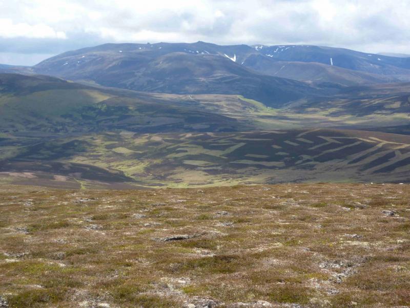
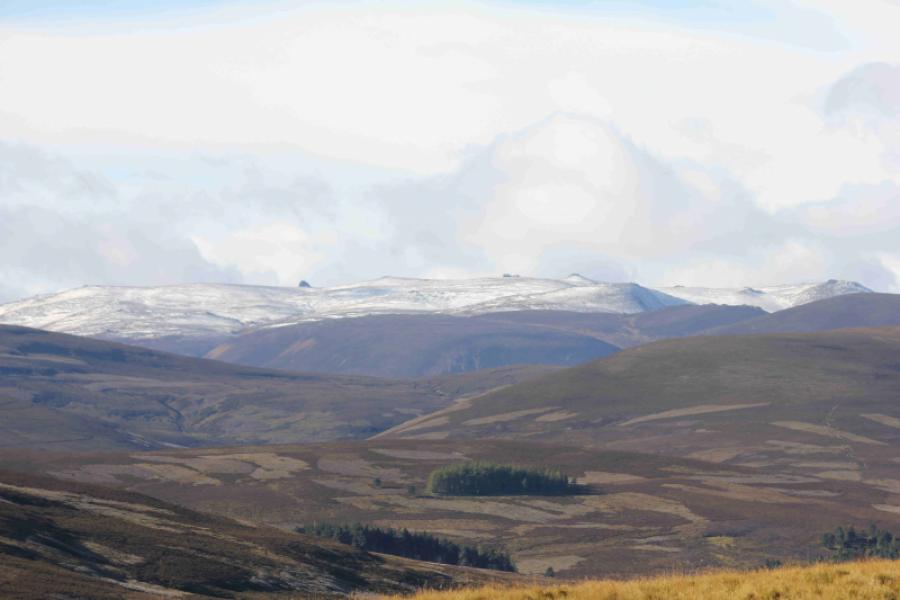
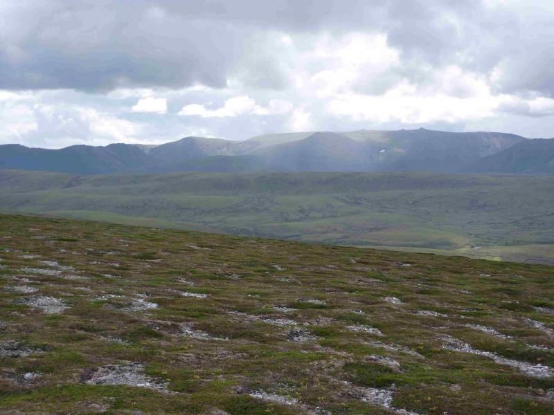
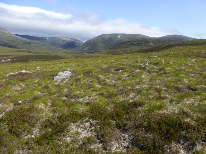
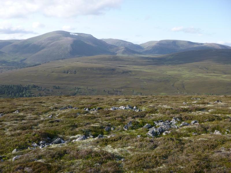
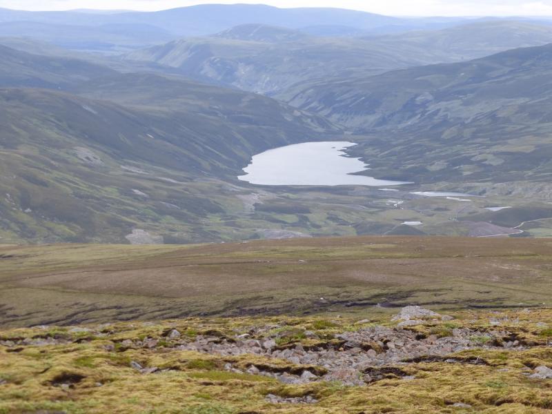
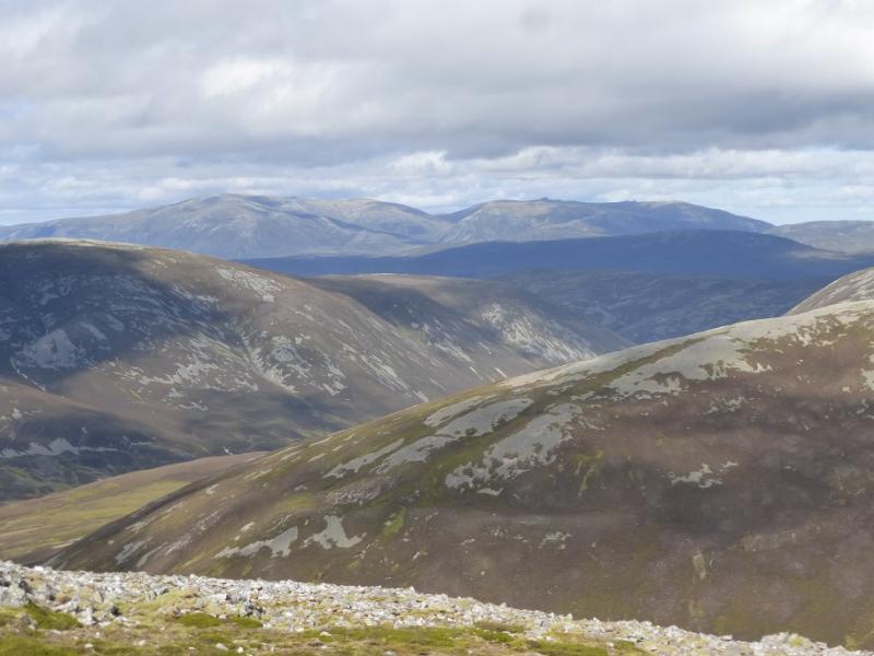
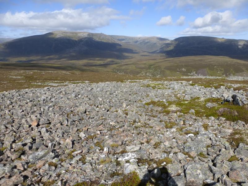
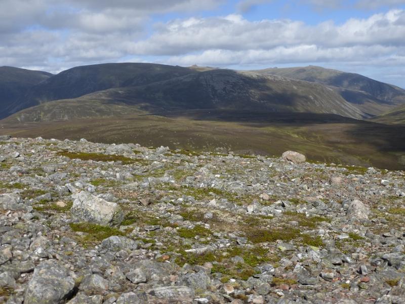
A full and strenuous day on one of the biggest, if not the highest, mountains in the Cairngorms. Choose a good day for this route and you will be rewarded with fine views of Beinn a' Bhuird, adjacent to the E, plus the surrounding lower hills such as Cnap Chaochan Aitinn, Culardoch, Carn Liath and Brown Cow Hill as well as some of the more distant Cairngorms. Lochnagar is also well seen. Navigation N from the summit can be quite taxing in mist as the paths are quite intermittent as well as there being complex terrain and many side ridges.
Route
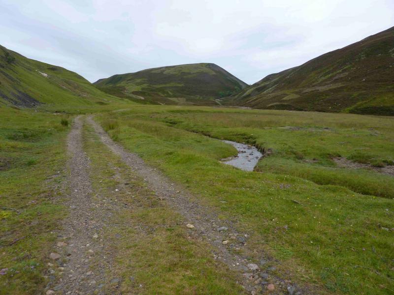
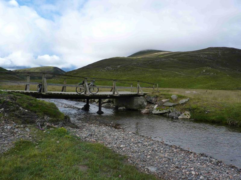
(1) Cycle S out of the car park on an undulating track which, in about 2.5 km, reaches the tarmac road from Delnabo. Follow this S, by the River Avon, for about 1.5 km to reach a bridge across the river. This point is not far beyond the high gates by a small settlement where there is also a pedestrian gate for cyclists. The bridge is a kind of “suspension” bridge but from poles not cables. Do not cross but continue S on the E side of the River Avon. Not far after, the track leaves the woods and emerges into the “open” glen. The tarmac road ends, not long after an isolated locked cottage, and becomes a reasonable track. This continues S to the large house at Inchory, by passing it on the E (left) with a short climb. In about 700 km, reach the obvious bridge across the river coming from Loch Bulig. Bikes should be left near here.
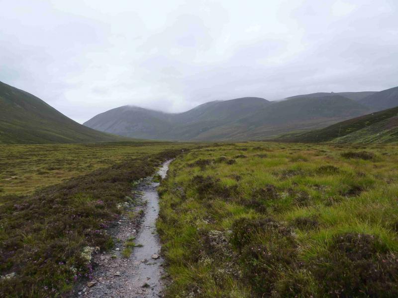
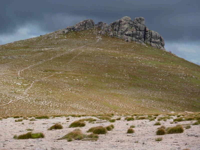
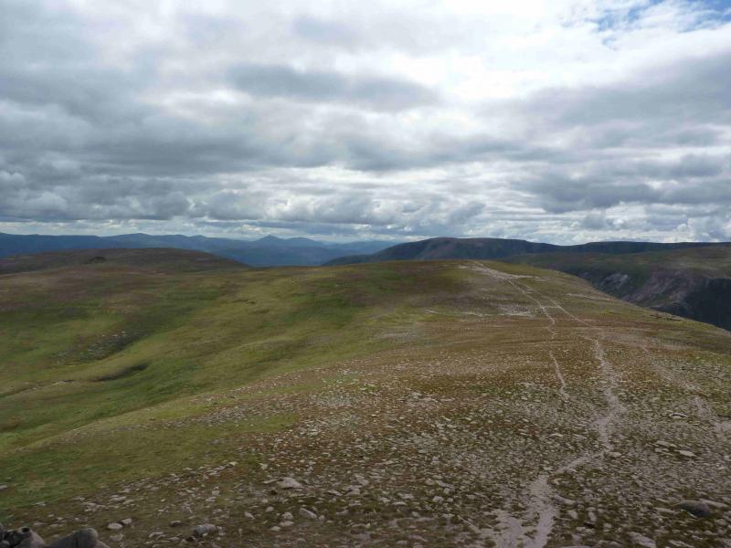
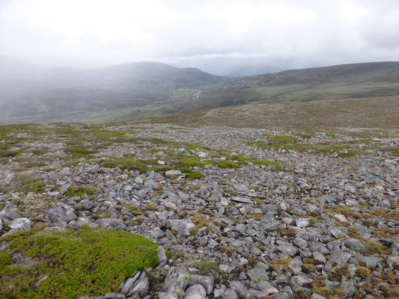
(2) Continue S on the obvious track which follows the Bulig Burn up Glen Bulig, passing to the E of Meall an t-Seangain. About 500 m before Loch Bulig, the track becomes a path and continues S going down the E side of the loch. At the S end it passes between two small lochans before meeting another track. Turn left, SE, here and follow the track past two lochans on the right before it passes between two further lochans. Almost immediately, turn right, SW, on to another track which will soon reach the River Gairn but, before it does, look for a path crossing the track and turn right, W, on to it. The path undulates for a while and passes close to a lochan before more closely shadowing the River Gairn. Follow this path, generally in good repair, but there are a few boggy sections, for about 5 km until it crosses the Allt an Eas Bhig (the path may be difficult to follow through the wide level grassy patches) where a branch path heads up the wide gully between Carn Eas and Crag an Dail Mhor. This path soon peters out so cross the burn and pick a way up the heathery/grassy/stony slopes to gain the E ridge of Creag an Dail Mhor. Follow this ridge to the medium cairn which is the summit of Creag an Dail Mhor, 972 m.
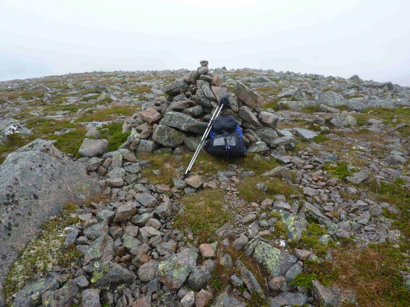
(3) From the summit, head NNW to reach a wide bealach containing a low shelter cairn. Pick a way up the steeper slopes on the far side where there is little hint of a path. When the angle eases, walk roughly NW across stony ground. A low cairn may be met which is not the summit so continue until a taller more triangular shaped cairn/short low wall is reached which is the summit of Carn Eas, 1089 m.
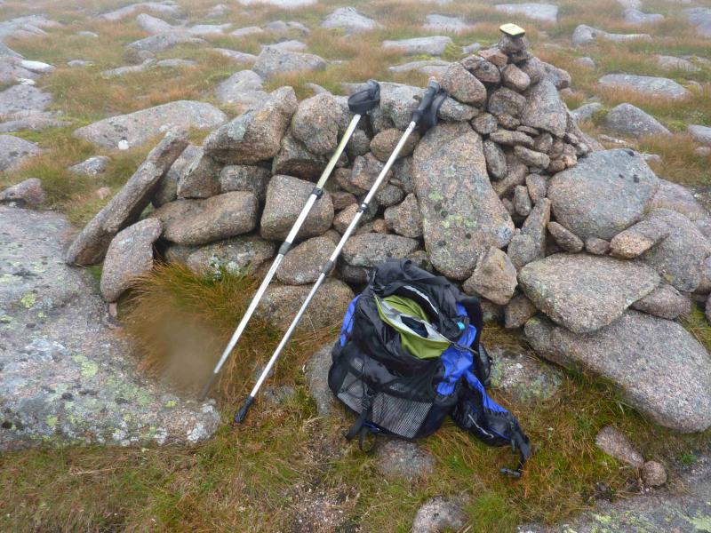
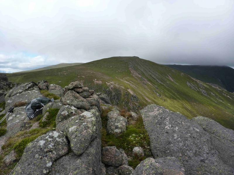
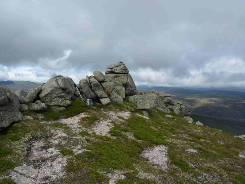
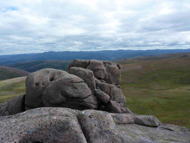
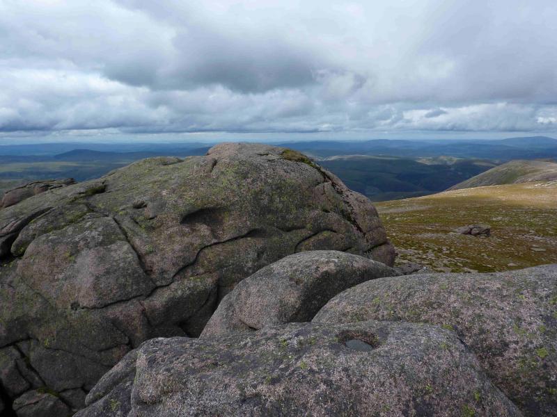
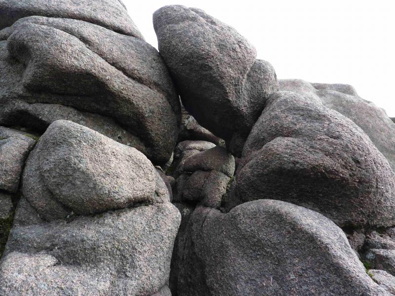
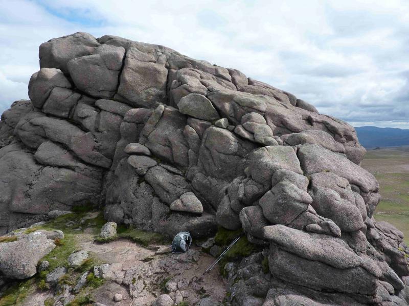
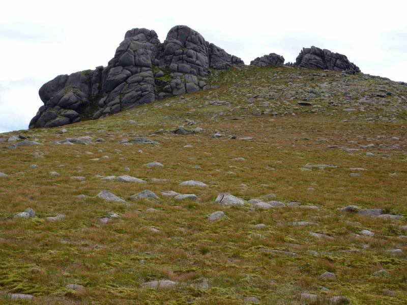
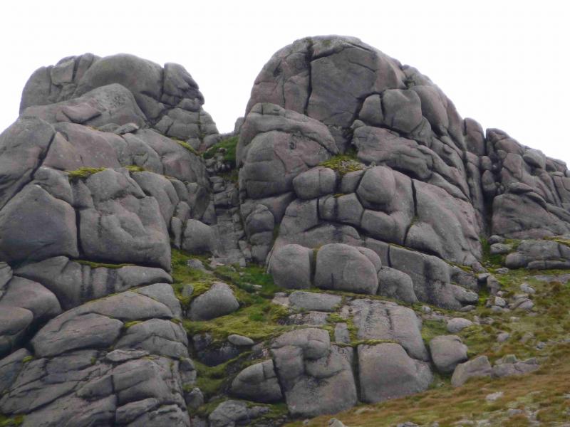
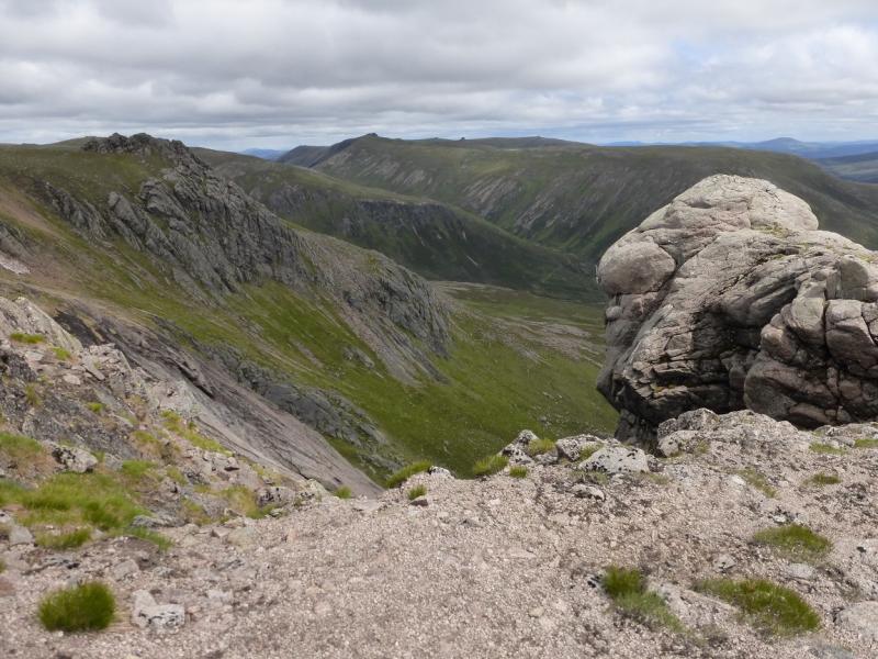
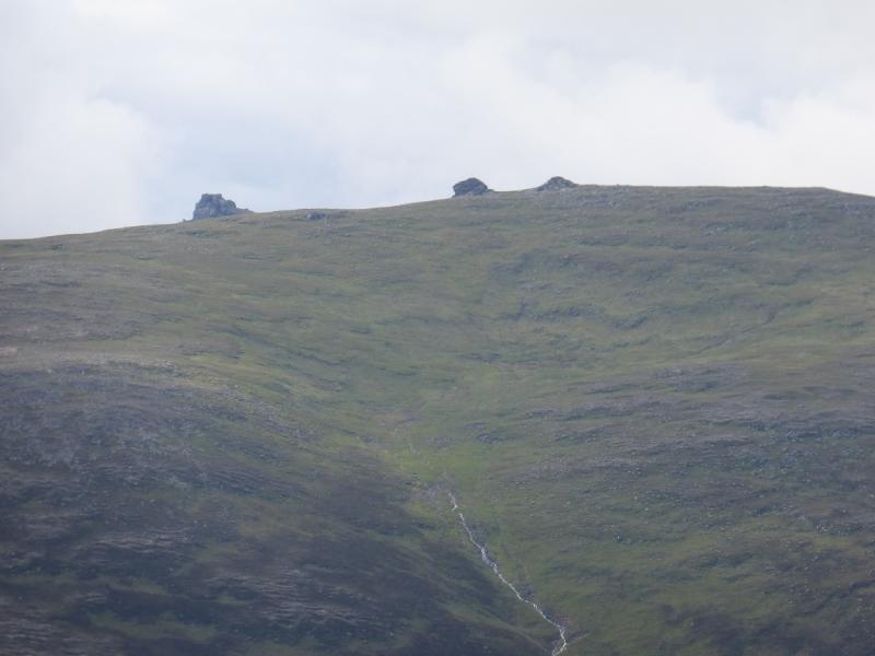
(4) Walk NNE across an almost level stony plateau, descending slightly before a slightly steeper, but still gentle, ascent. As the edge of the plateau is reached, a path comes in from the W which has come from the bealach between Ben Avon and Beinn a' Bhuird. Follow this path NE over a gentle unnamed top then up to the summit of Leabaidh an Daimh Bhuidhe (Ben Avon), 1171 m. The summit is made up of several high tors of which the (obvious) highest two are adjacent to each other with a short stony gully, in between them, on their far, N, side. The tors are high and exposed and require good scrambling skills although the coarse rock does retain much of its friction when wet. Any fall, though, would have serious consequences. It is probably best to climb both the highest tors to be sure of reaching the highest point as the higher tor is not obvious from below or even when on the other tor!. There is no cairn on either tor. The path naturally takes one to the summit's rocky crest top just to the left, W, of the two highest tors. On the N side of the crest is another path. The western tor has an easy angled rocky “ramp” to its top which many will be able to walk up on a clear dry and calm day. If windy or wet, be more cautious. It is possible to crawl up and “bottom shuffle” down. To reach the eastern tor about 6 metres away either carefully scramble down into the gap between the two tops or take the easy option and return down the route of ascent. Then walk roughly E, on a path, to reach the bottom of a short, easy angled stony gully which leads to the gap between the tops. Go about 2 metres beyond the top of the gully and see a gap with, on 2/8/11, a rock sitting on top of it to create a short “tunnel”. Go through this – only suitable for thin people – then go left then right to the summit which is slightly more exposed than the western top. Both tops seem about the same height.
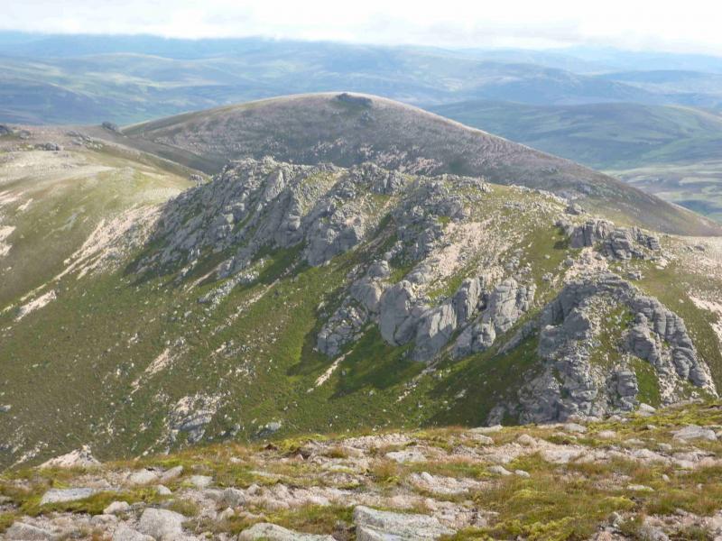
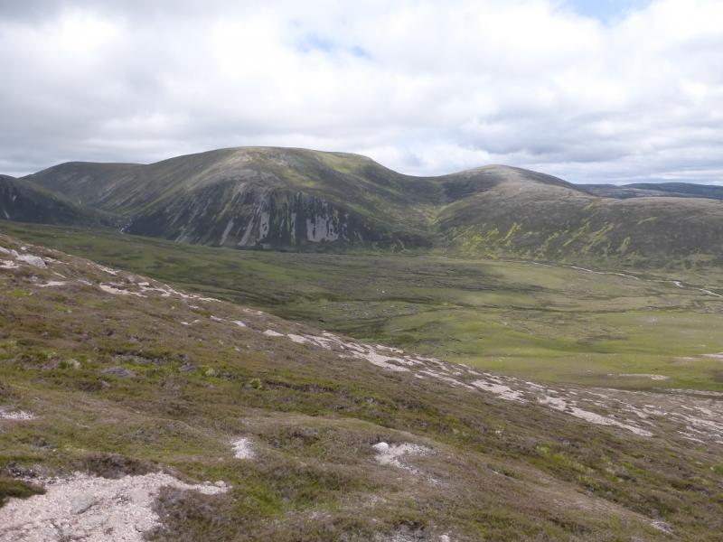
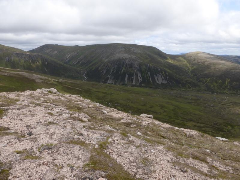
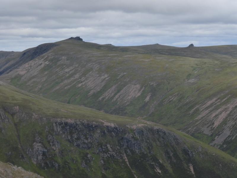
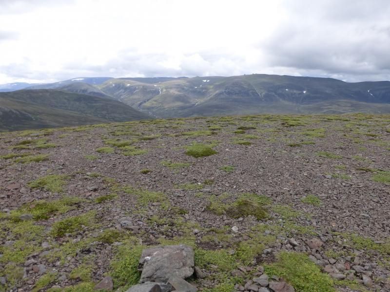
(5) Descend NW aiming for the 1136 m high top at NO 137 024 and passing to the left, W, of a prominent tor not far frpm the summit. From here, descend ENE down easy, mainly grassy slopes to reach the wide bealach at about NO 151 030. Ascend gentle grassy/stony slopes NNE to reach a plateau at the far end of which is an outcrop on which sits a small cairn which is the summit of West Meur Gorm Crag, 1023 m. From here there is a very good view of East Meur Gorm Crag across a wide gully.
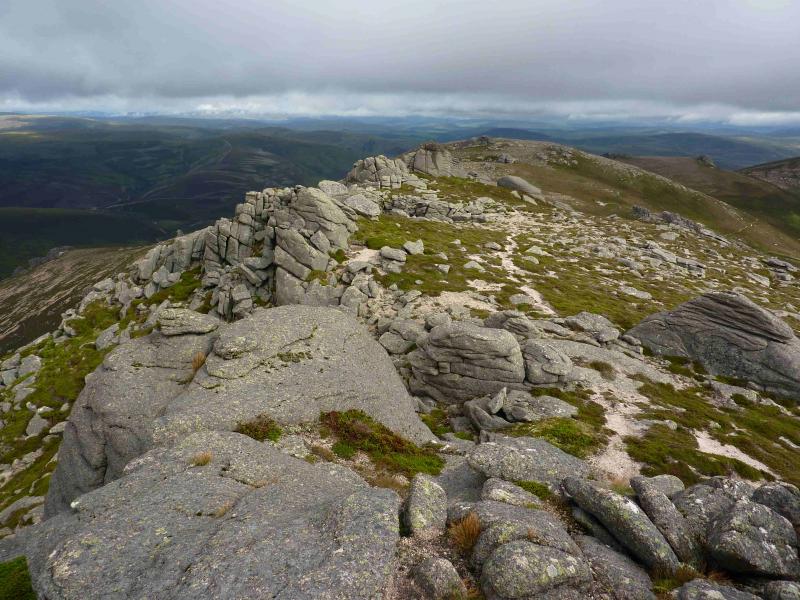
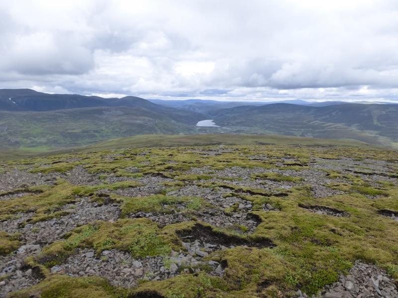
(6) Descend SE to reach the flat area known as the Big Brae. From here, contour around, roughly N, the top of the gully. A grassy “groove” leads to a very prominent path should soon be found which leads out along the rocky ridge to reach the small cairn which is the summit of East Meur Gorm Crag, 935 m. From here, West Meur Gorm Crag seems to be very dominating.
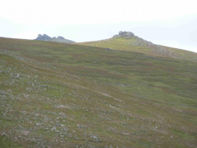
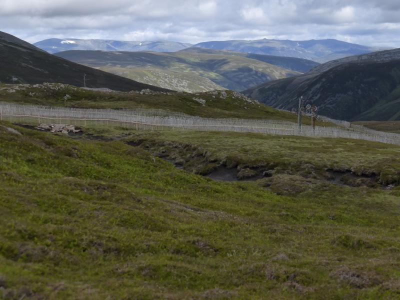
(7) The route down is quite obvious in clear weather but in mist, it can be quite confusing to locate the descent path which skirts Meall Gaineimh. It may be best to continue N along the ridge then ascend the top at NO 160 048. From here, walk NE to reach the top at NO 162 052 then descend E to intercept the path which can then be followed down the N ridge. Alternatively, and simpler, continue along the summit crest for about 100 m to reach a small bealach; turn right, E, and walk down seemingly pathless slopes of short heather to meet the descent path. The path becomes difficult to follow when it enters ground which is a mixture of grass of gravel but one should follow the crest until the path reappears. Much lower down, the path passes some grouse butts before becoming a track before it reaches the Linn of Avon on the track just W of the bridge where the bike was left.
(8) Cycle back by the outward route but stay on the tarmac road and pass through Delnabo. Recross the river and a short road climb leads back to the start.
Notes
(a) This cycle/walk took place on 2nd August, 2011, and 25th July 2006.
(b) If the main summit of Ben Avon is the only objective then the quickest route of ascent is by the above route of descent, that is, up the N ridge from the Linn of Avon. East Meur Gorm Crag is bypassed (just) and West Meur Gorm Crag is completely bypassed. Carn Eas and Creag an Dail Mhor lie beyond the summit so will not be visited. This can save 4 – 5 hours on the day. East Meur Gorm Crag should be visited on the descent as it only adds about 15 minutes and is a good viewpoint.
(c) Those contemplating an ascent up the N ridge and visiting all five tops should reconsider as it is likely to take more time, and involve more back tracking, than the route described.
Photos - Hover over photo for caption. Click on to enlarge. Click on again to reduce.