Get Lost Mountaineering
You are here: Scotland » 08 Cairngorms and Buchan » North East of Lecht Road
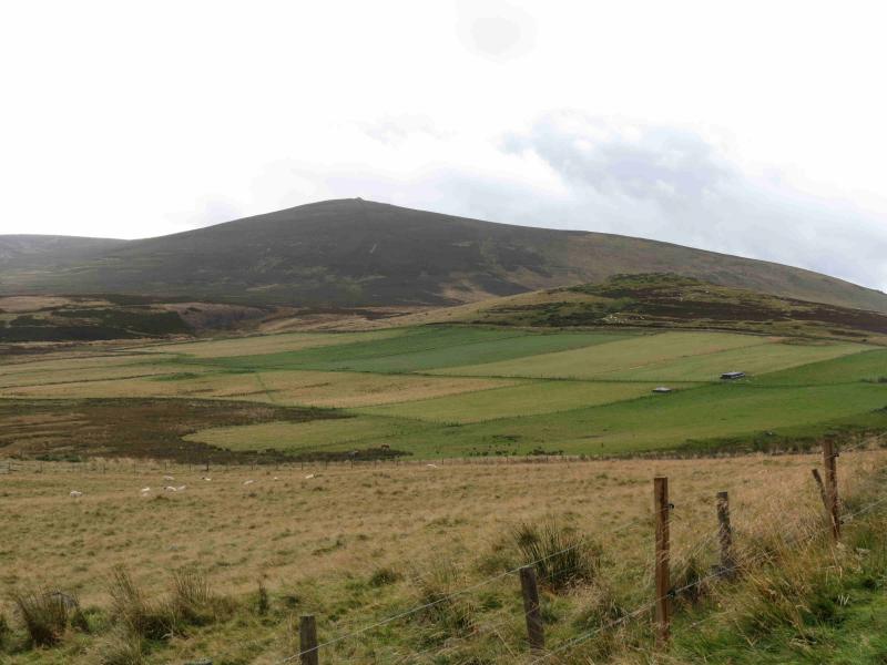
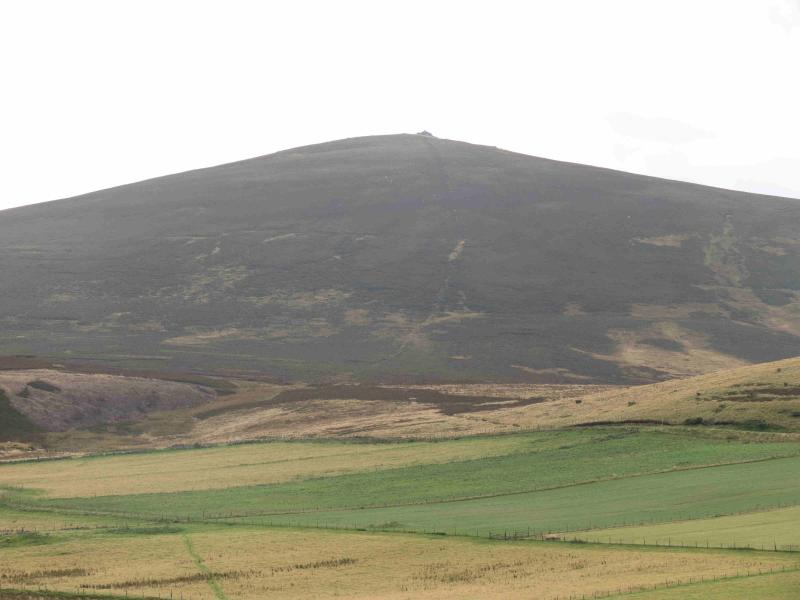
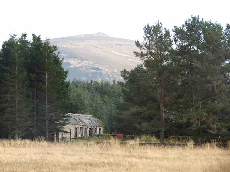
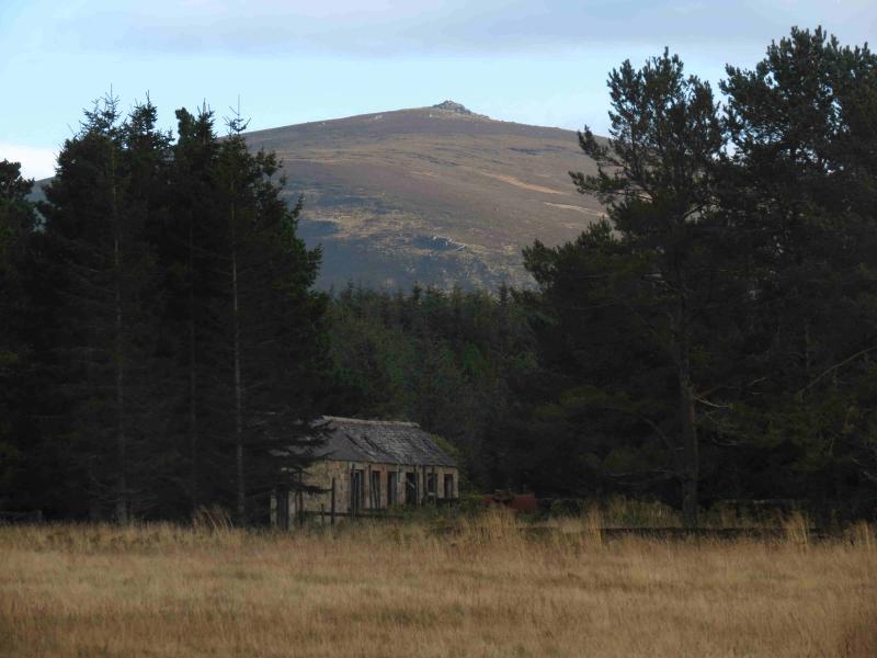
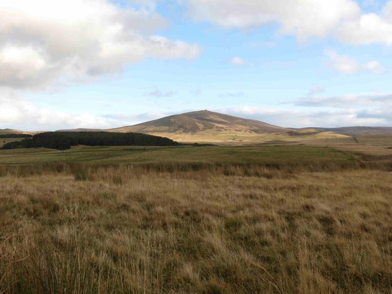
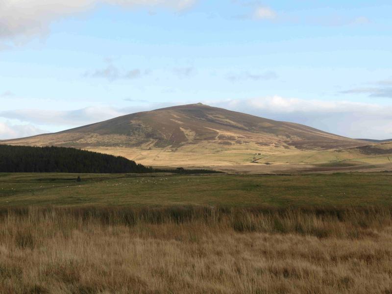
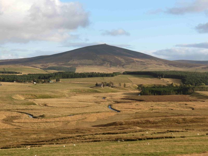
The Buck of Cabrach
The Buck of Cabrach from the B 9002 to the north
Start/Finish
Park at about NO 425 250 On the B9002 about 8 km WSW of Rhynie.
Distance/Time
5 km Approx 2 hours
Peaks
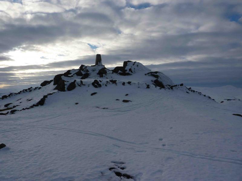
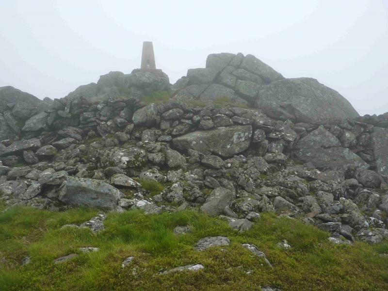
The Buck of Cabrach, 721 m, N0 412 233. OS sheet 37.
Introduction
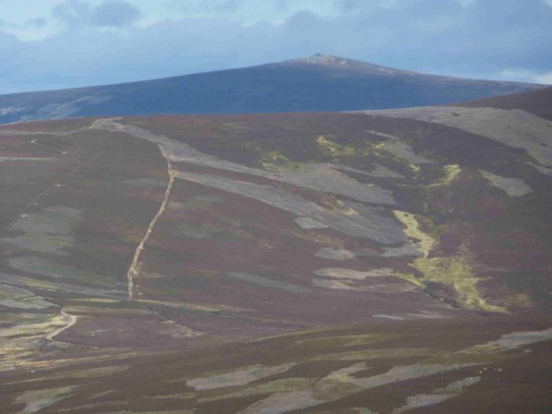
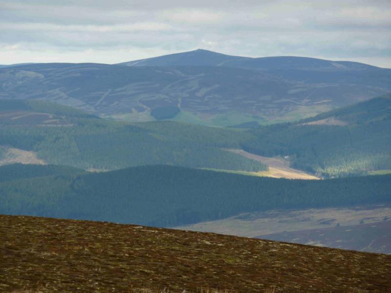
A quick ascent up a shapely peak which dominates the surrounding landscape but still offers very good views towards Lochnagar. On the 1986 OS map, the hill is simply called “The Buck”. The path by the fence is very boggy in places making this hill more attractive in a prolonged dry spell or under winter conditions when the boggy areas are frozen and covered with snow.
Route
(1) Head SW up initially easy, sometimes boggy, slopes then on steeper ground. A line of old fence posts to the right have a faint path alongside them which leads up to an outcrop on which is the trig point of The Buck of Cabrach, 721 m.
(2) Return by the same route.
Notes
(a) This walk took place on 21st April, 2003, 10th March, 2010 and 11th July, 2012.
Photos - Hover over photo for caption. Click on to enlarge. Click on again to reduce.