Get Lost Mountaineering
You are here: Scotland » 08 Cairngorms and Buchan » East of Lairig Ghru to Lairig Laoigh Hills
Cairngorm & its tops
Cairngorm & Tops from Cairngorm Top Car Park
Start/Finish
Cairngorm Top Car Park
Distance/Time
16 km . Approx 7 hours.
Peaks
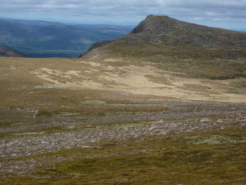
Cnap Coire na Speidhe, 1150 m, NJ 013 049.
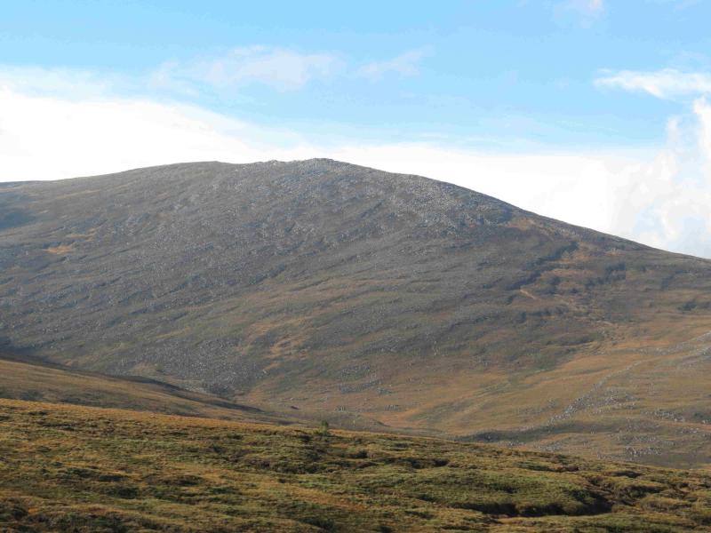
Cairngorm, 1244 m, NJ 005 040.
Stob Coire an t-Sneachda, 1176 m, NH 996 029.
Cairn Lochan, 1215 m, NH 985 025.
Creag an Leth-choin (Lurcher's Crag), 1053 m, NH 968 033. OS sheet 36.
Introduction
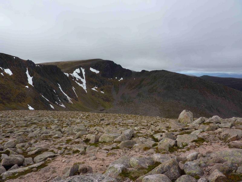
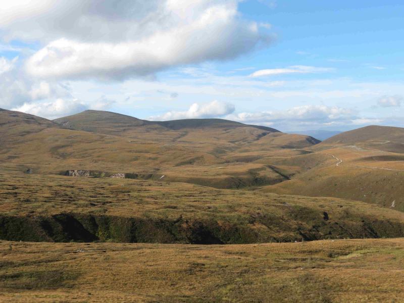
On a clear day this is one of the best walks on Scotland with views to most of the other peaks in the Cairngorm Mountains but especially to Beinn Mheadhoin, Ben Macdui, Braeriach and Cairn Toul. The route follows the top of the cliffs of the northern corries and almost all of the route is on good, easy to follow, paths. In mist, the walk needs careful navigation. In winter, it is only for the very experienced and competent winter mountaineer.
Route
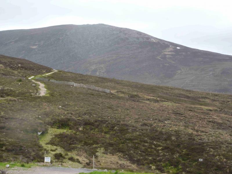
(1) Park in the top Cairngormcar park. Walk between the ranger building and the restaurant/shop building to reach a sign directing one on to the Windy Ridge path. Follow this well engineered and stepped path up on to the ridge then SSE to reach the Ptarmigan restaurant at the top of the funicular railway. From here, ascend E to the flat bealach to the NNE of Cairngorm then continue, across quite stony ground, with a gentle ascent to a granite outcrop on which there is the small summit cairn of Cnap Coire na Spreidhe, 1150 m.
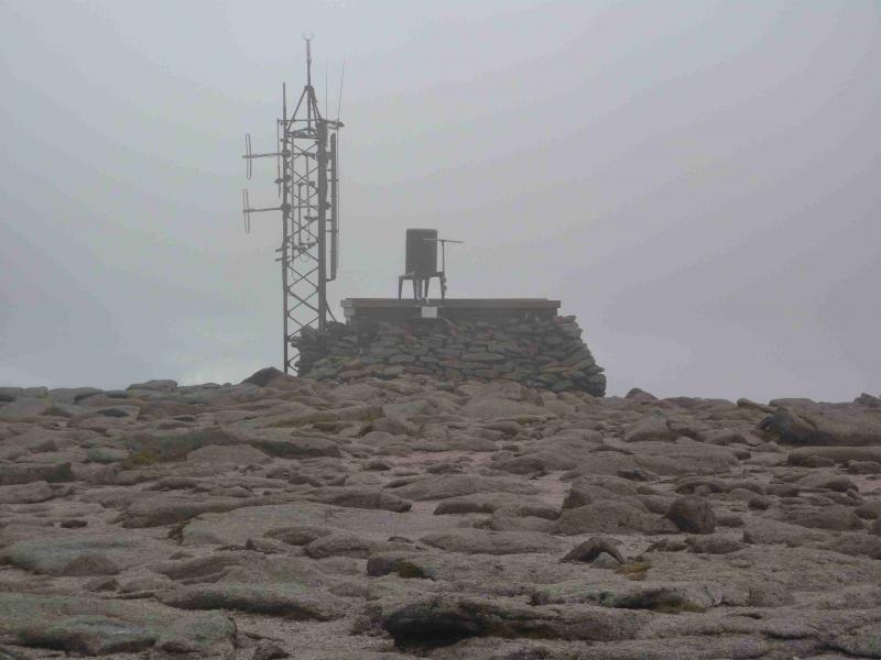
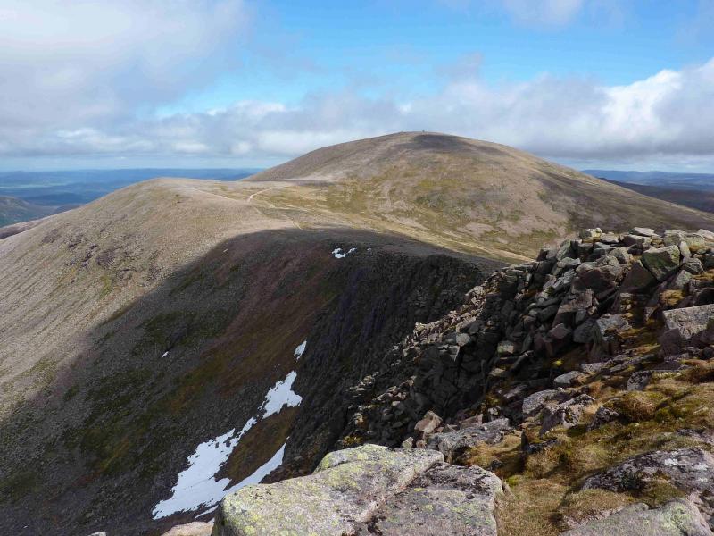
(2) Head WSW to the wide bealach then ascend easy slopes, roughly SW, up Cairngorm soon reaching the path on its NE side. Cairngorm, 1244 m, has a very large cairn and an automatic weather station with a large aerial.
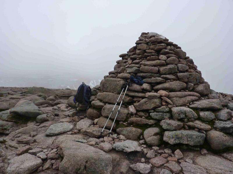
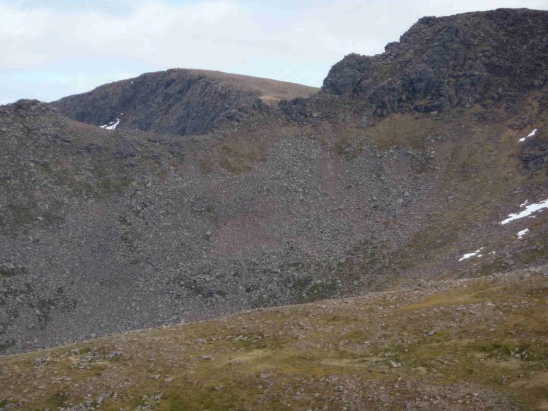
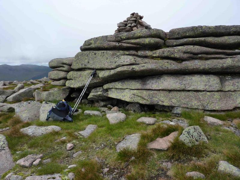
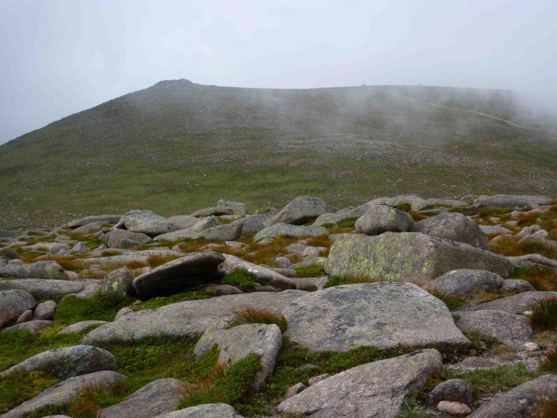
(3) Descend WSW towards Pt 1141 to reach the distinctive path along the rim of the northern corries. On 17/5/11, work was in progress to create a more obvious route between the summit of Cairngorm and this path. Walk S, curving around to SW, to reach the small cairn which is the summit of Stob Coire an t-Sneachda, 1176 m.
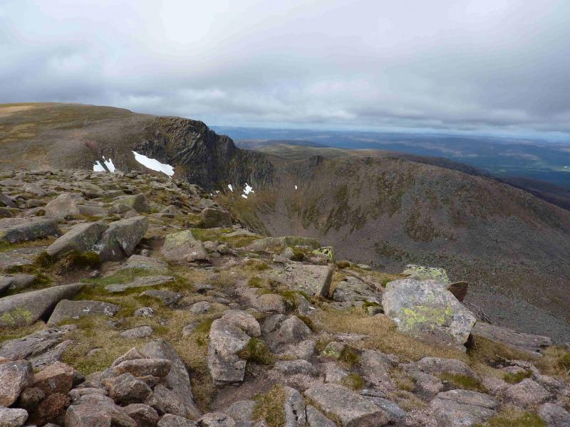
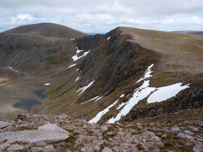
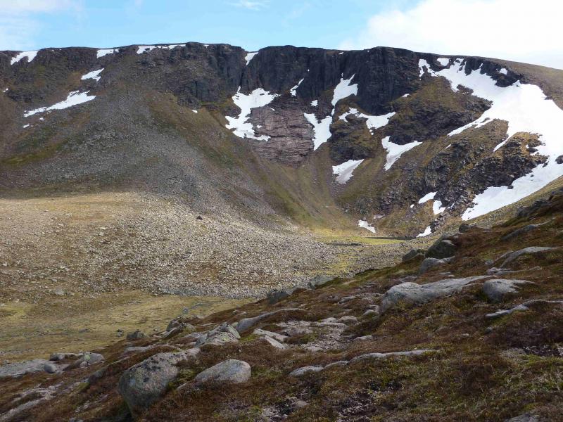
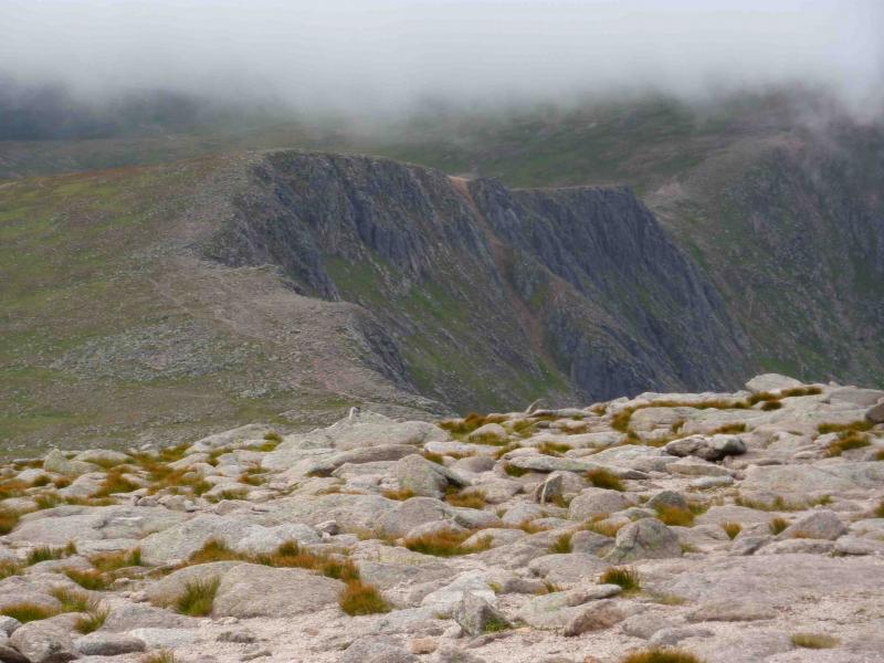
(4) Continue on the path, roughly WSW down to a bealach then up to the medium summit cairn of Cairn Lochan, 1215 m, which is just before a steep rocky gully. Another cairn, slightly lower, lies on the other side of the gully which is easily walked around on the left, S.
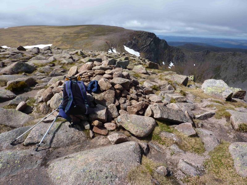
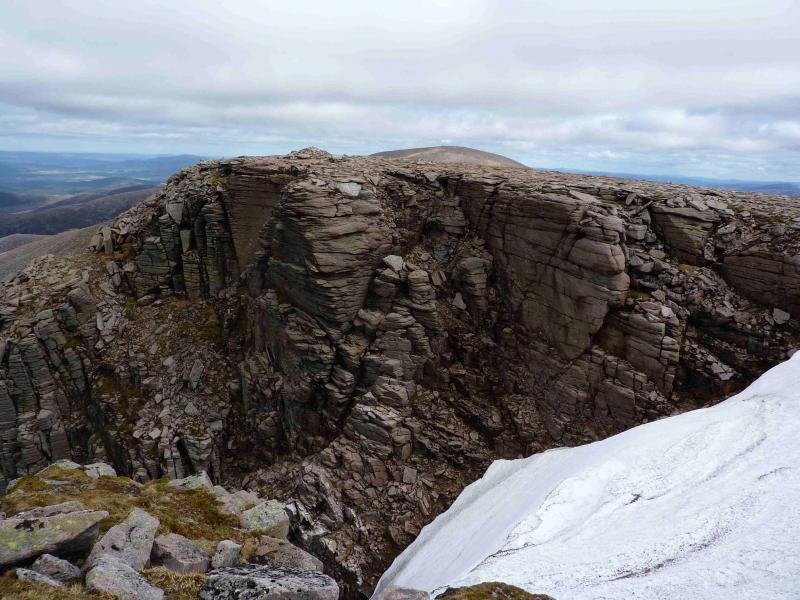
(5) Descend roughly WSW, initially following the corrie rim, to reach the main path from the car park to Ben Macdui near Pt 1083. Now head NW, on an intermittent path, towards Creag an Leth-choin more usually known as Lurcher's Crag. The steep edge above the Lairig Ghru is a useful navigation aid in mist. Ascend the peak from the SSE. There are a few paths which avoid the worst of the boulder field by outflanking it to the east then curving around to the summit. Soon reach the small summit cairn of Creag an Leth-choin/Lurcher's Crag, 1053 m, which is perched on the steep edge of the Lairig Ghru. To the east is a long gully, descending NNE, known as Lurcher's Gully.
(6) Follow the summit, retrace to the grassy top of Lurcher's Gully then traverse NE to rejoin the main path from Ben Macdui and follow it back to the car park.
Notes
(a) This walk took place on 17th May, 2011.
(b) Omitting Cnap Coire na Spreidhe and, instead, walking straight up the newly engineered path from the Ptarmigan restaurant to Cairngorm will save about 40 minutes.
(c) Omitting Creag an Leth-choin/Lurcher's Crag and staying on the Ben Macdui path will save about 50 minutes.
Photos - Hover over photo for caption. Click on to enlarge. Click on again to reduce.

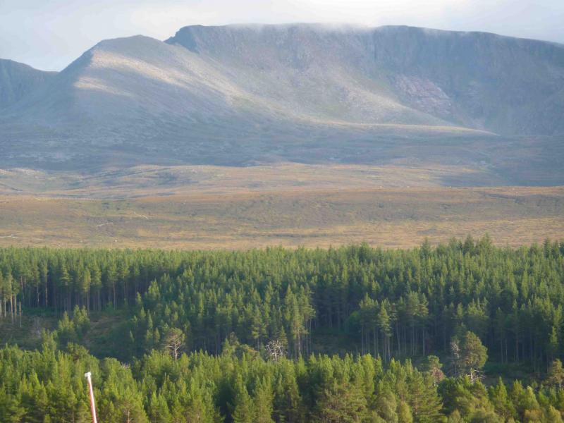
 and Cairn Lochan from Loch Morlich.JPG)
 from Loch Morlich.JPG)
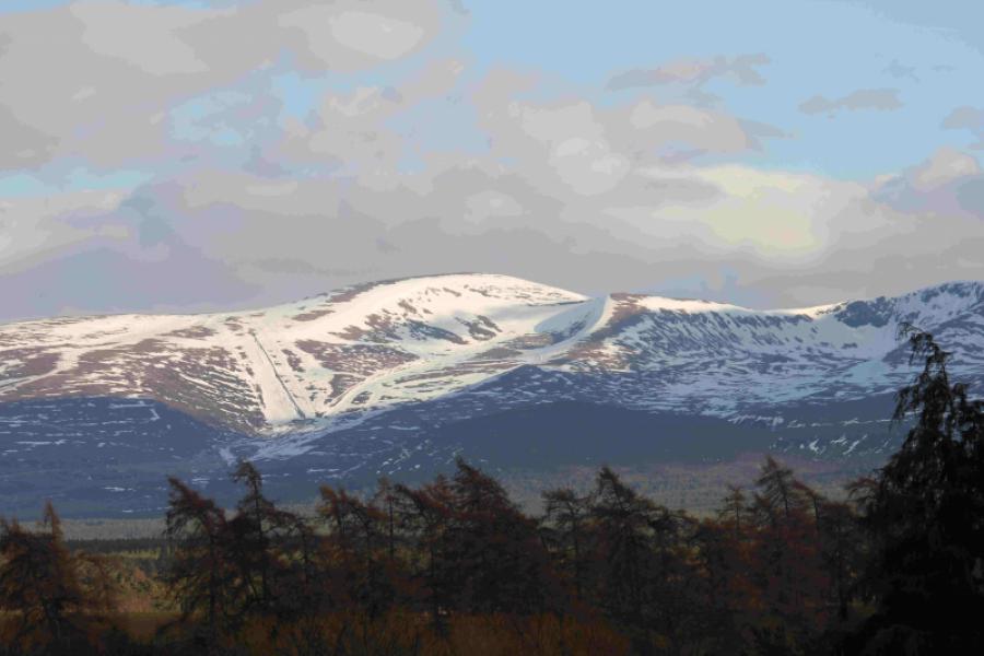
 from Aviemore Station.jpg)