Get Lost Mountaineering
You are here: Scotland » 08 Cairngorms and Buchan » Eastern Cairngorms to Lecht Road
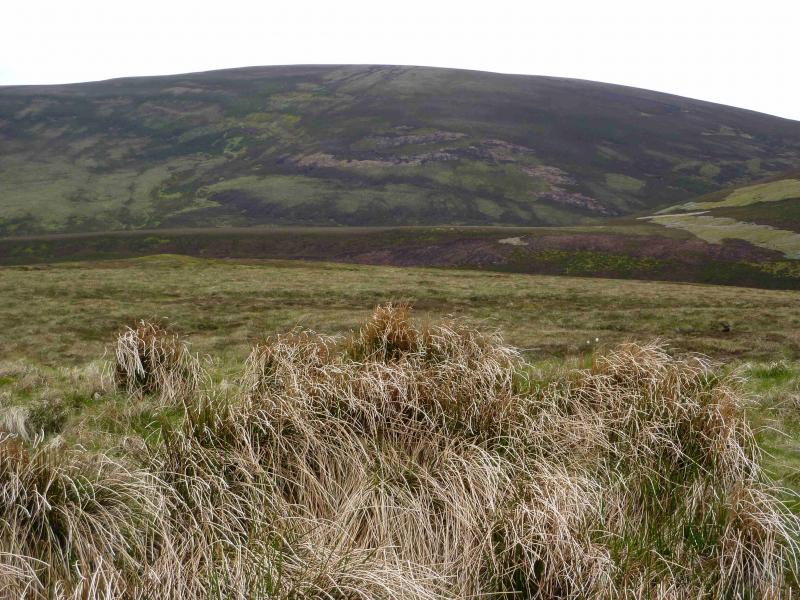
Carn Ealasaid
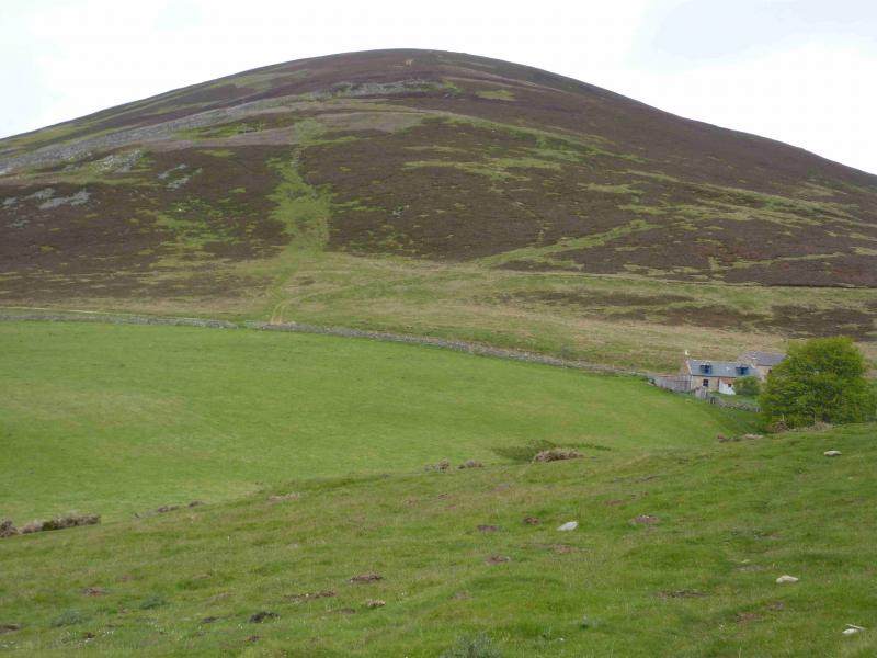
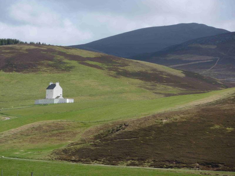
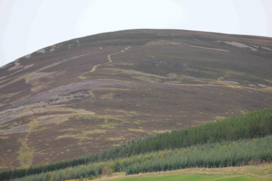
Carn Ealasaid from Corgarff Castle on A939
Start/Finish
Corgarff Castle car park at Cock Bridge on A 939 Tomintoul to Ballater road.
Distance/Time
17 km . Approx 5 hours.
Peaks
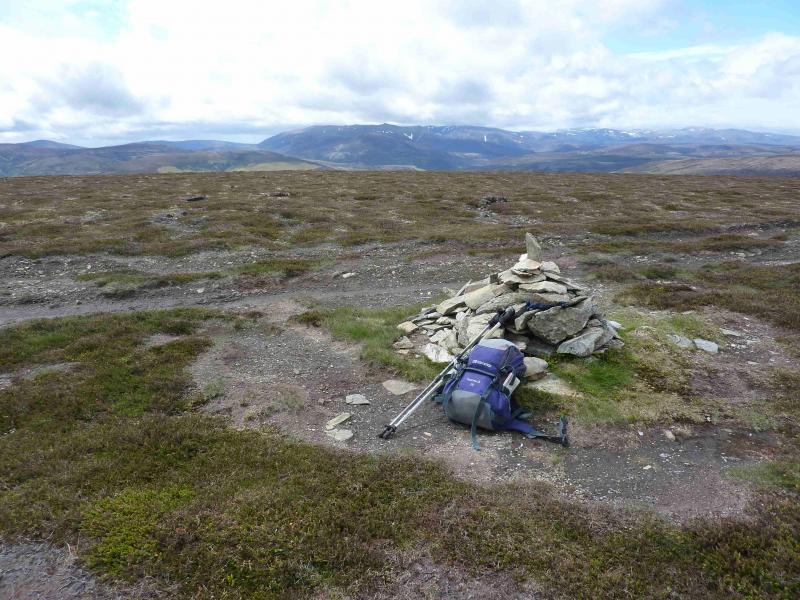
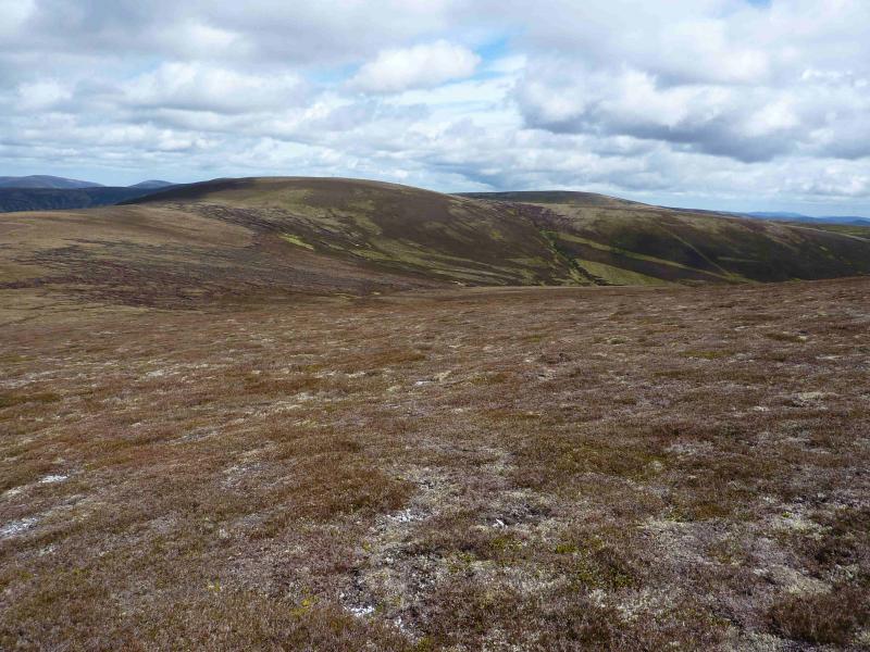
Carn Ealasaid, 792 m, NJ 228 117.
Beinn a' Chruinnich, 776 m, NJ 237 131. OS sheets 36 & 37.
Introduction
This is a lovely high moorland walk over a Corbett and its subsidiary top. There are good views to the surrounding hills including Morven, Brown Cow Hill, Culardoch and Carn Liath but especially to Ben Avon which is not that far to the west. Even Ben Rinnes can be seen on a clear day.
Route
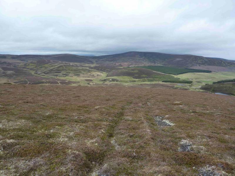
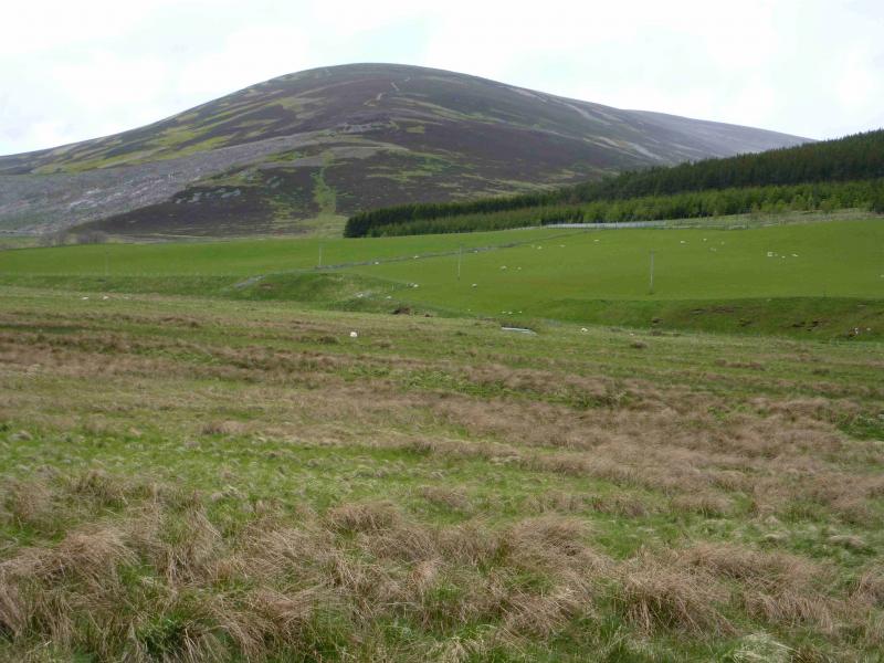
(1) From the castle car park, walk back to the main road. Turn left (towards Tomintoul). Cross the bridge over the River Don then take the track slanting left behind the Allargue Arms Hotel. Follow this to Loinherry. Take the track on the right just after the cottages which initially heads N, following the Burn of Loinherry. The track eventually cuts back on to the hill and meanders up to the crest. It is possible to walk straight up the nose to save on distance. Once on the crest, the track goes all the way to the small summit cairn of Carn Ealasaid, 792 m, but it does weave around a bit. If in doubt, follow the crest and you will soon rejoin the track.
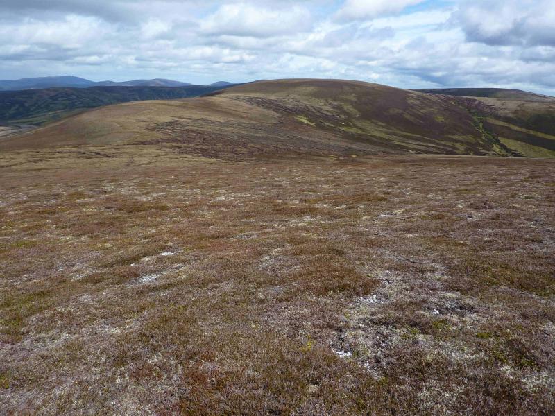
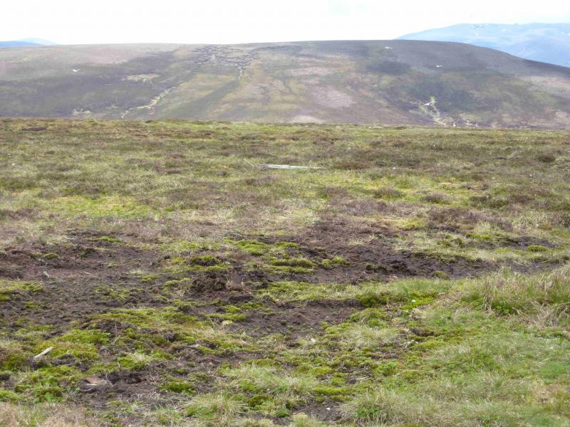
(2) Continue on the track towards Beinn a' Chruinnich, roughly NNE. The track soon peters out. Going left, NW, to gain the crest, takes one to a good path down to a grassy and peaty bealach. Ascend NNE then NE on short heather and grass, with the odd hint of a path, to reach the top of Beinn a' Chruinnich, 776 m, which is littered with the ugly ski pylons of the Lecht ski slopes. One of these pylons seems to be on the highest point. There is no cairn.
(3) Walk S, initially on a reasonable track through some unsightly ski workings, descending slightly. Almost at the end of the ski area is a memorial with seating and a low wall which gives some shelter. Descend more steeply, with the odd hint of a path, to reach the shoulder of Carn Meadhonach. Staying on the crest will take one to a faint track which soon becomes more distinct and leads down Loinherry. Lower down the track crosses the Burn of Loinherry twice. If the burn is high, stay on the E side of the burn to avoid both crossings. From Loinherry follow the track and road back to the castle car park.
Notes
(a) This walk took place on 18th May, 2011.
Photos - Hover over photo for caption. Click on to enlarge. Click on again to reduce.