Get Lost Mountaineering
You are here: Scotland » 08 Cairngorms and Buchan » North East of Lecht Road
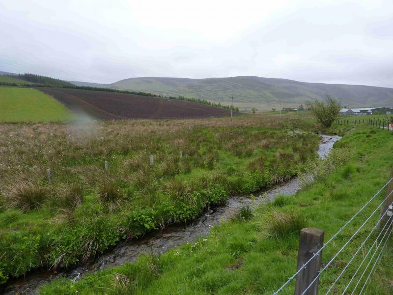
Carn Mor from Chapeltown in Glenlivet
Carn Mor from Chapeltown in Glenlivet
Start/Finish
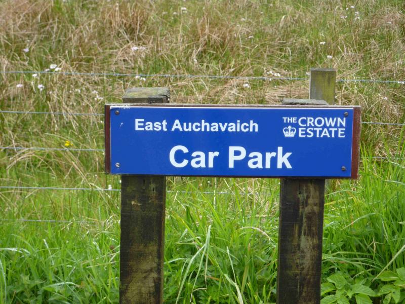
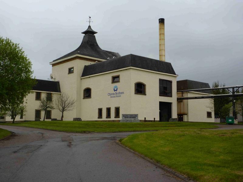
Chapeltown in Glenlivet. From Tomintoul, take the B9008 towards Dufftown. At Knockandhu, turn right (signposted) for Chapeltown of Glenlivet. Drive almost to the end of the road. Just past the church, on the right and just before the distillery, turn left down a gravel track. About 20 m down this track, there is a small designated car park, on the right, called the East Auchnavaich car park. From here, the main ridge of the Ladder Hills is clearly visible, weather permitting, but the actual summit of Carn Mor is just out of sight although most of the descent route is visible.
Distance/Time
12 km Approx 5 hours
Peaks
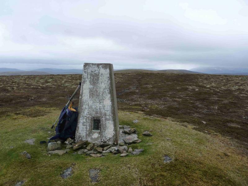
Carn Mor, 804 m, NJ 265 183. OS sheets 36 & 37.
Introduction
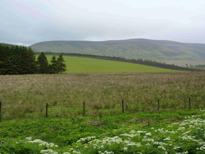
A pleasant moorland walk on easy terrain with good views of surrounding hills such as Cook's Cairn, Corryhabbie Hill, Ben Rinnes, Morven and to the more distant Cairngorms.
Route
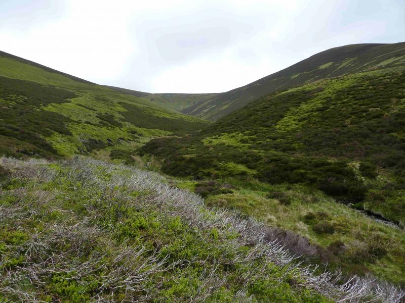
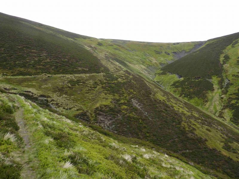
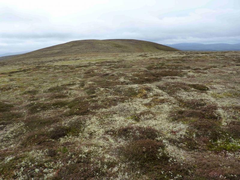
(1) Continue along the track through East Auchnavaich Farm then past Tom a' Voan wood (on the left). Just past the next wood (on the right), note a grassy ATV track* going uphill on the right which might be useful on the return. Continue on the track past Corrunich then descend slightly to cross the Ladder Burn just before Ladderfoot. Follow the good wide track ESE up the N side of the burn. After a while the track deteriorates before becoming a footpath as it climbs the huge grassy gully containing the Ladder Burn. Higher up, the path makes a short diversion left, E, to cross the second of two very obvious burns before finally climbing out of the gully on to the main crest of the Ladder Hills where there is a cairn. Turn right, SW, and follow the crest over, or round (on the right) Dun Muir before turning W to reach the unnamed top of Brow Mor. This section is covered in peat hags, similar to those found on Bleaklow in the Peak District. The peat is not as bad as it looks and many of the hollows are grassy or stony. The peat itself is usually firm enough to walk on unless it has been very wet. Once on the top of Brow Mor, follow the crest roughly SW with a final gentle ascent to the trig point of Carn Mor which sits on a slightly raised grassy mound. There is no cairn.
(2) Descend roughly NW then N down the long easy grassy and heathery ridge. There is a faint path which, in places, becomes an ATV track. Several small cairns are passed on the ridge. Low down, on the final plateau there is a small outcrop with a cairn. From here, pick a way down, on faint paths, towards the NE corner of the wood S of Cocry. Almost at the wood, there is a grassy strip, between two fences, which leads down to a gate and the ATV track* noted on the outward journey. This leads down to the main outward track and back to the start.
Notes
(a) This walk took place on 16th May, 2011.
Photos - Hover over photo for caption. Click on to enlarge. Click on again to reduce.