Get Lost Mountaineering
You are here: Scotland » 08 Cairngorms and Buchan » North East of Lecht Road
Cook's Cairn
Cook's Cairn from Allanreid near Tomnavoulin
Start/Finish
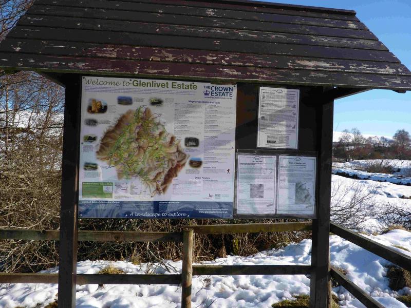
From Tomintoul, take the B9008 to Tomnavoulin. Go through the village, past the distillery, and descend slightly to the new bridge over the River Livet. The old bridge still stands to the right, E, of the road but may be hidden by trees in the summer. Immediately after the bridge, turn right, almost back on yourself, signposted Tombae and Allanreid. Follow the minor road, along the River Livet, for about 4 km to reach the end of the tarmac road where there is a car park on the right with a useful information board.
Distance/Time
22 km. Approx 6 hours (add at least 2 hours under snow).
Peaks
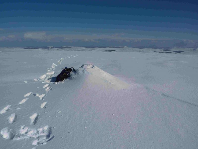
Cook's Cairn, 755 m, NJ 302 278. OS sheet 37.
Introduction
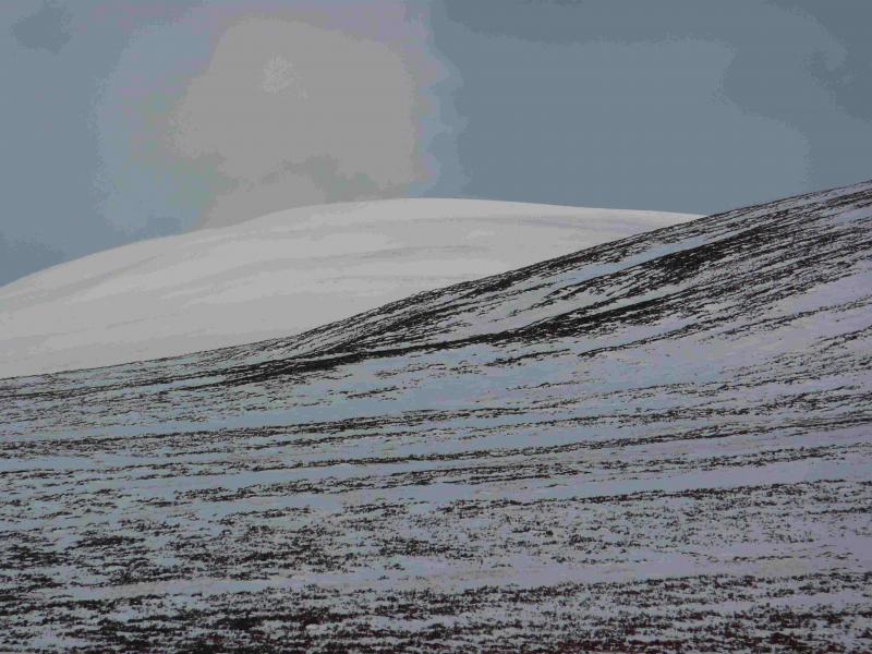
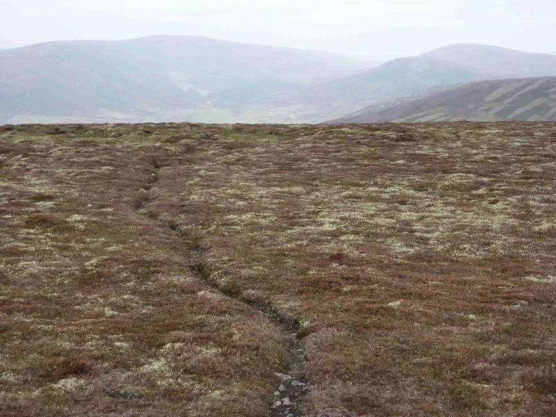
In normal conditions, this is an easily ascended peak with tracks/paths almost all the way from start to summit. However, these can be quite boggy and under snow may be difficult to follow when covered in deep soft snow. The tracks are not recommended for cycling. This is quite a remote hill up a long glen (Glen Livet). The views are to similar hills including Corryhabbie Hill and Ben Rinnes.
Route
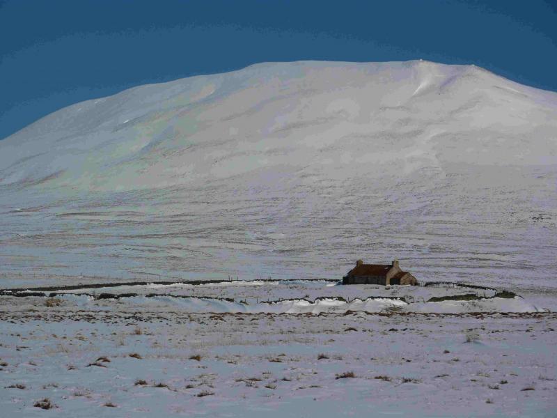
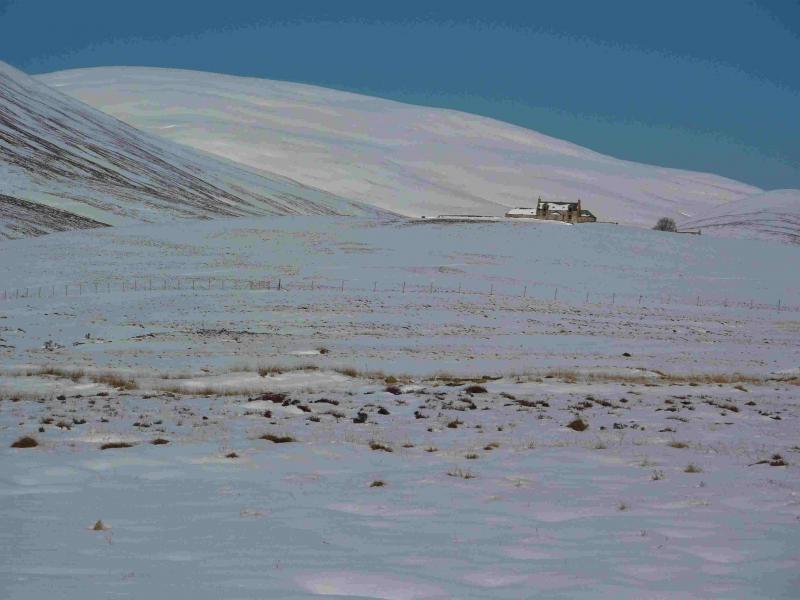
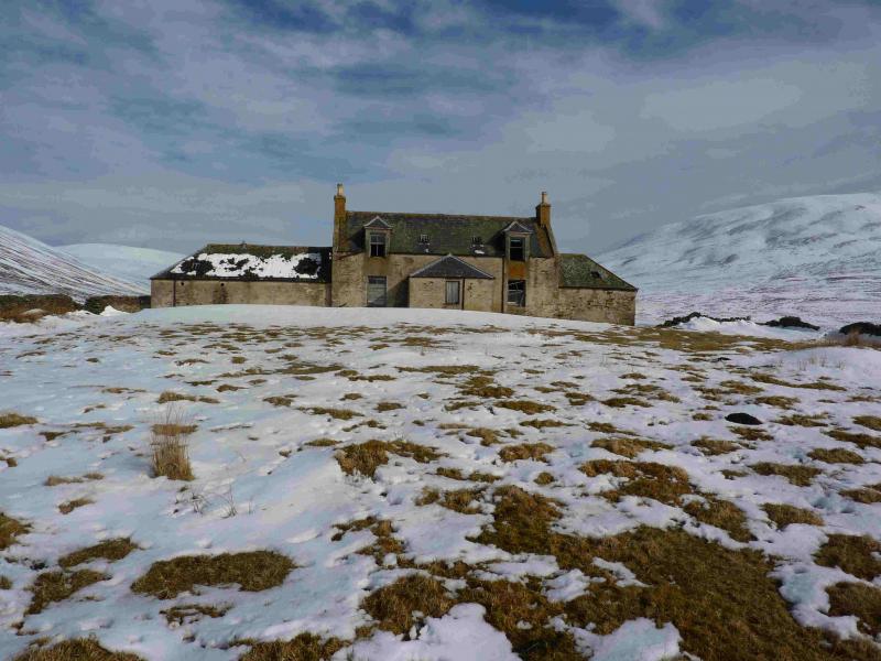
(1) From Allanreid, walk SE on the obvious track which follows the NE bank of the River Livet. Walk to the obvious footbridge but do not cross. Instead, continue on the track which, in about 2 km, reaches another footbridge across the river, passing through a short boggy forest en route and over a few way marked stiles. Cross over the bridge and follow the track past the obvious inhabited cottage then E then NE following the River Livet to the deserted lonely house at Suie. Under soft snow, this section can be quite strenuous. If the tributary flowing E about 700 m of Suie is in spate then there is a bridge about 300 m upstream near to the unnamed cottage at NJ 276 241. Beyond Suie is another smaller deserted house and beyond that the track forks. Take the right fork which initially heads NE traversing the lower slopes of Carn na Bruar then climbs to the wide bealach SSW of Cook's Cairn. If not obliterated by snow, a less distinct track climbs to the summit plateau passing about 50 m E of the small cairn which marks the summit of Cook's Cairn, 755 m.
(2) Return by the same route unless one has a friendly driver in which case there are numerous alternatives back to a road.
Notes
(a) This walk took place on 17th March, 2011 with deep snow on the ground.
(b) It is possible to include the Corbett of Corryhabbie Hill by descending almost due W to the head of Glen Fiddich then ascending via the zig-zag track shown on the map. This track is clearly visible, on a clear day, from Cook's Cairn but is in a state of considerable disrepair and is very stony. Return by the same track to the watershed and walk back to Suie via the track in Glen Suie.
c) There are also a variety of approaches which could be used from the N, including one up Glen Fiddich and various choices from the E but parking may be difficult, or even impossible from these starting locations.
Photos - Hover over photo for caption. Click on to enlarge. Click on again to reduce.
 and Cook's Cairn (CR) from Suie.jpg)
 from Suie.jpg)