Get Lost Mountaineering
You are here: Scotland » 08 Cairngorms and Buchan » North East of Lecht Road
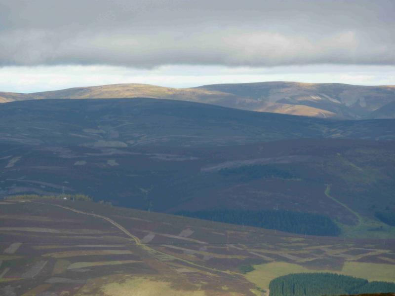
Corryhabbie Hill
Corryhabbie Hill
Start/Finish
Ellivreid Farmon minor road from B9009, about10 km S of Dufftown, at about NJ 269 324. It is usually possible to park on the grass by the wide entrance to the farm.
Distance/Time
11 km Approx 3½ hours
Peaks
Corryhabbie Hill, 781 m, NJ 281 288. OS sheet 37.
Introduction
An easily ascended peak in the heart of distillery country. Its distinctive summit cairn suggests an après hill visit to a local distillery.
Route
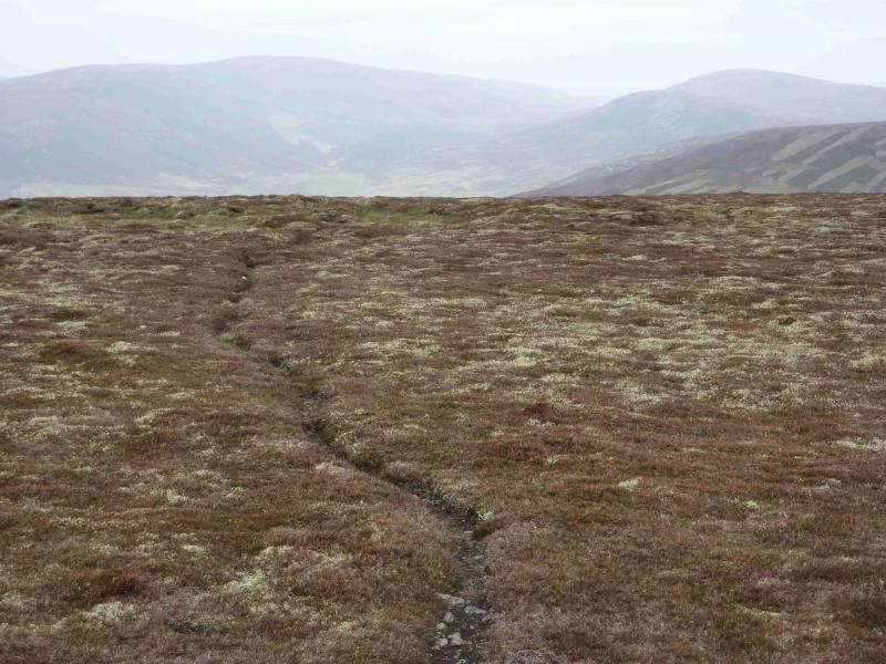
(1) Go through the gate opposite the farm entrance and follow the track (not so obvious in places) through a wood, past a rusty old plough, to reach the foot of an obvious ridge. Ascend the ridge SSW (some faint paths) onto the Hill of Achmore (an excellent view point for Ben Rinnes) then Little Lapprach. Look for a narrow path through some deep heather on the steeper section towards Muckle Lapprach whose cairn is on a large plateau. Ahead lie grassy peat hags. Skirt these to the N, where almost on the edge, is a good track (in a trench at one point) which then climbs gentle slopes to the summit trig point of Corryhabbie Hill, 781 m. The trig point has an unusual distillery style “roof”.
(2) Return by same route or head NNW towards Sheandow which lies on the E side of the lower ridge ascended just after the start.
Notes
(a) This walk took place on 13th November, 2009.
(b) An alternative approach is to walk up Glen Livet from Allanreid at NJ 234 250 which is at the end of the minor road going SE from Tomnavoulin on the B9009 from Tomintoul to Dufftown. This is a much longer route but is all track until about 300 m NE of the summit. Cook’s Cairn (a Graham) on the E side of the Glen could easily be included in this approach.
(c)There are also a variety of approaches which could be used from the N, including one up Glen Fiddich.
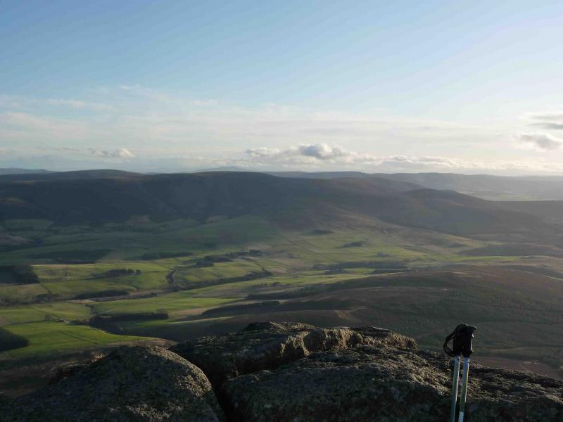
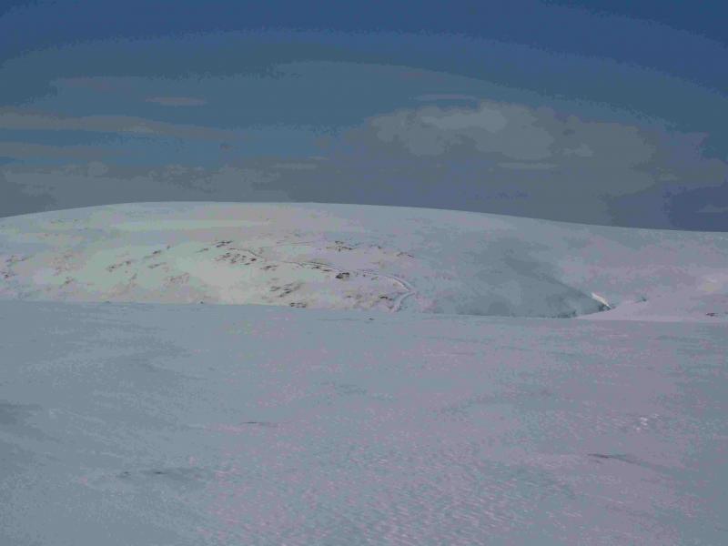
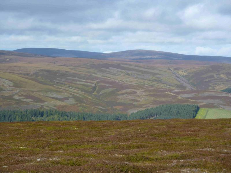
Photos - Hover over photo for caption. Click on to enlarge. Click on again to reduce.