Get Lost Mountaineering
You are here: Scotland » 08 Cairngorms and Buchan » East of Lairig Ghru to Lairig Laoigh Hills
Creag Mhor & Bynack More
Creag Mhor and Bynack More + Tops from Glenmore Lodge
Start/Finish
Parking space at the end of the public road just past Glenmore Lodge. There is limited parking so cars may need to be parked on the main Cairngorm road.
Distance/Time
28 km Approx 9 hours
Peaks
Creag Mhor, 895 m, NJ 057 048.
A' Choinneach, 1017 m, NJ 032 049.
Bynack Beg, 964 m, NJ 035 068.
Bynack More, 1090 m, NJ 041 063. OS sheet 36.
Introduction
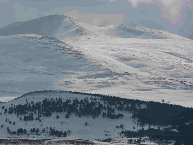
This is a fine walk which uses the Lairig an Laoigh, one of the two through routes (the other is the more well known Lairig Ghru) from Aviemore to Braemar. There are views of Cairngorm , Ben Avon, Beinn a' Bhuird and many others, including the distant Morven. In mist, the walk needs careful navigation. In winter, it is only for the very experienced and competent winter mountaineer.
Route
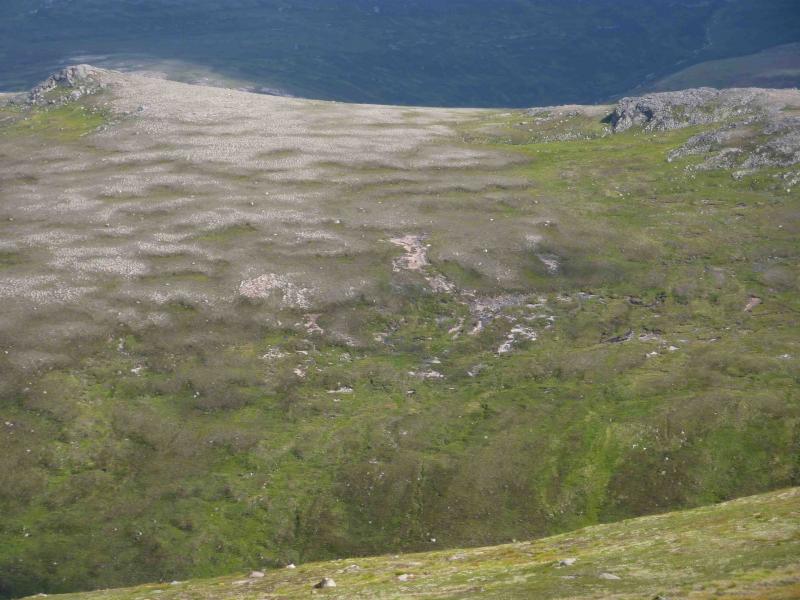
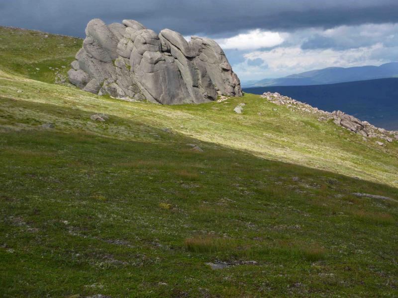
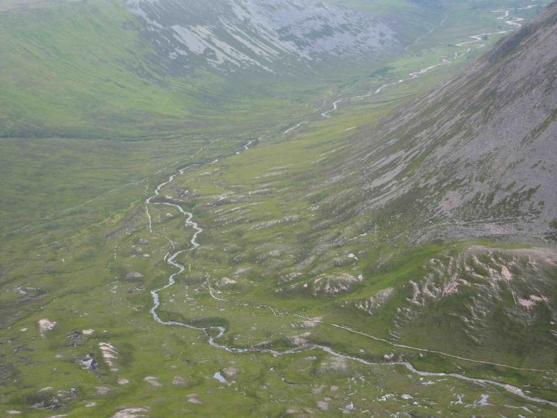
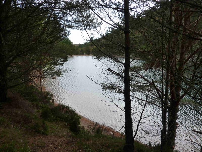
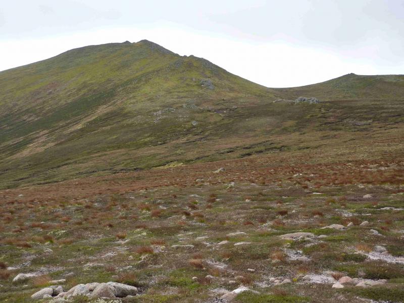
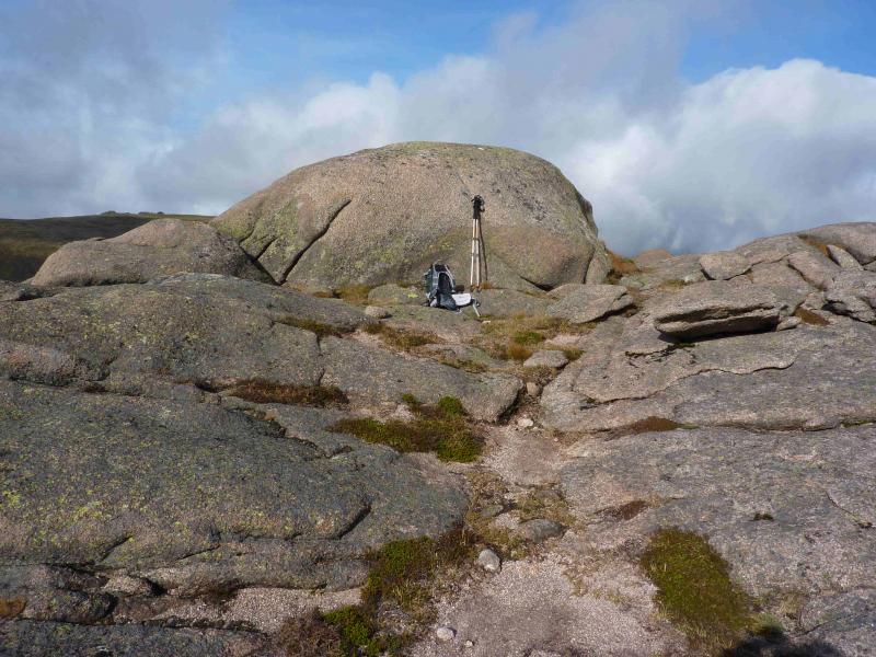
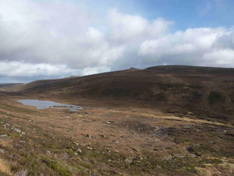
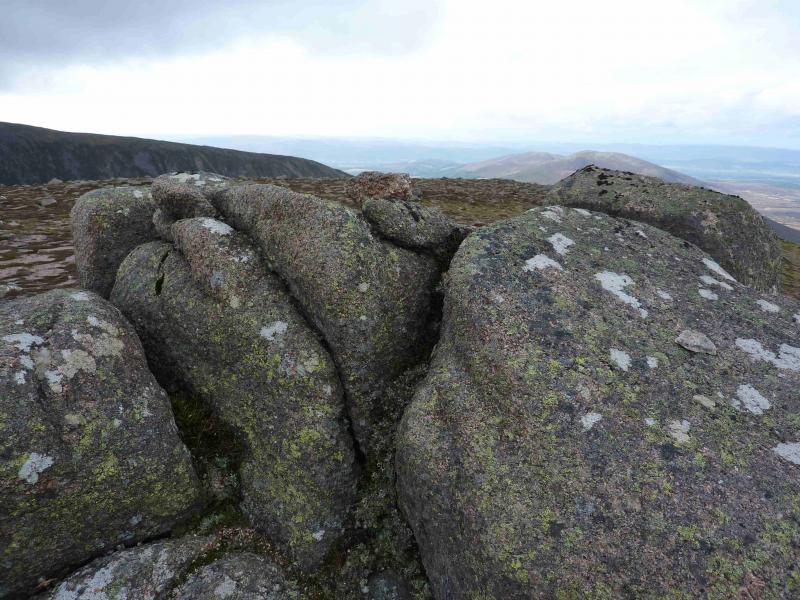
(1) From the car park at the end of the road, continue ahead on a tarmac road which passes through pleasant woodland. At a picturesque lochan, the road becomes a track. Further on, the track splits. Take the right fork, usually sign posted “Braemar” and follow it to a footbridge over the River Nethy. Bynack Stable used to stand here. Cross the bridge and follow the obvious path, roughly SE, up gentle slopes on to a flattish plateau where the path splits. The right fork goes to Bynack More and will be used in descent. Take the left fork, Lairig an Laoigh, which continues across the plateau before descending to Coire Odhar which can be boggy. Cross the burn which usually presents no difficulties and continue, ascending to another plateau before descending almost due S into another hollow. Climb out and continue until reaching Lochan a' Bhainne. From here, climb almost due E up easy, but sometimes wet, slopes to reach the crest of Greag Mhor which runs SW – NE. There are two significant outcrops, the NE one is the higher and marks the summit of Creag Mhor, 895 m. The highest point is on the outcrop and there is no cairn.
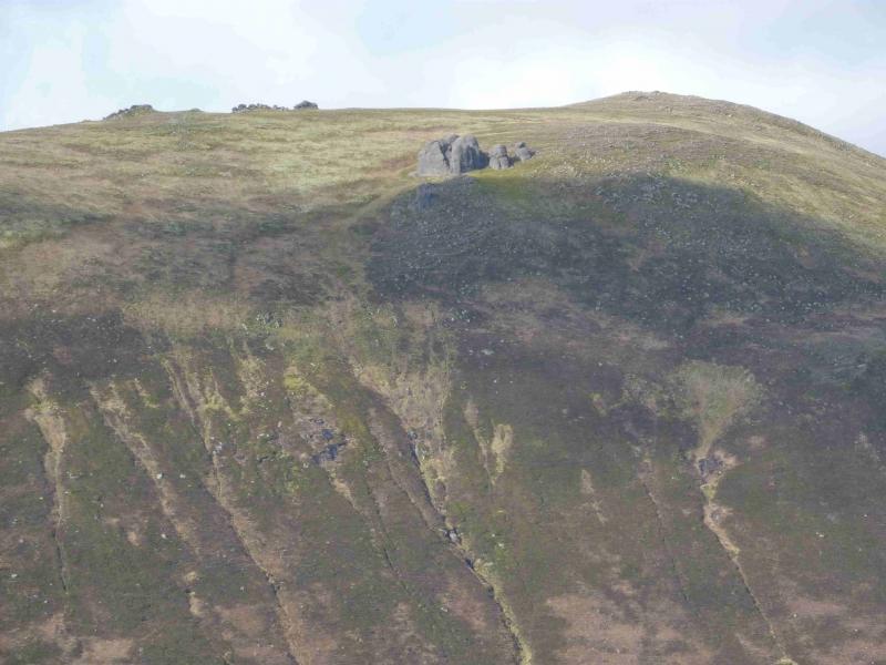
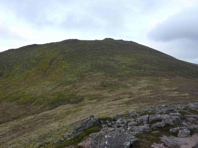
(2) Return to the Lairig an Laoigh and pick a way over rough vegetation to the obvious stream flowing down into the Lairig about 250 m downstream of Lochan a' Bhainne. About 20 m to the left, S, of the stream are some steepish grassy strips which can be ascended without much difficulty. When the angle eases, head E over gently rising ground to reach the flat topped A' Choinnich, 1017 m. There are two cairns at the N and S end, about 200 m apart which seem about the same height so best to visit both. Possibly the S cairn is the higher.
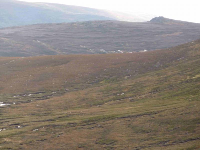
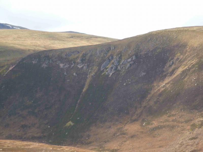
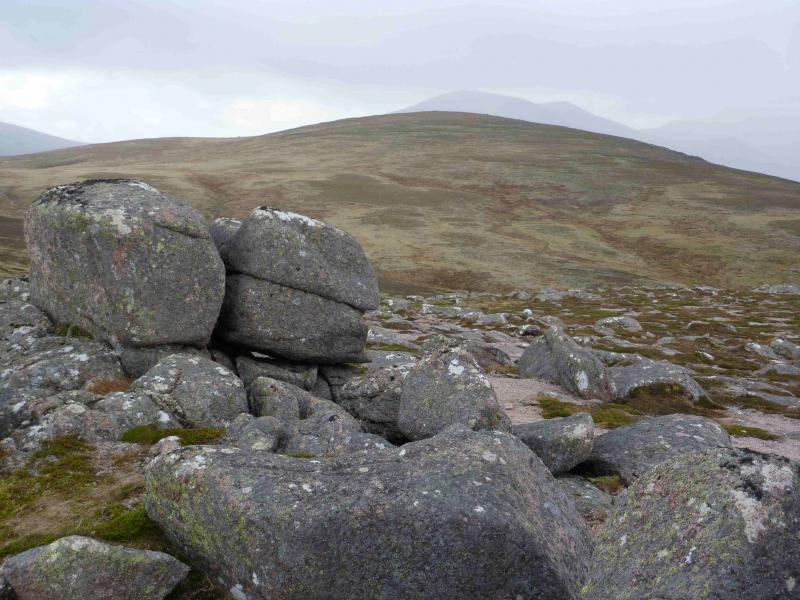
(3) Descend very gentle slopes, heading roughly, NNE, aiming for the bealach between Bynack beg and Bynack More. The Allt a' Choire Dheirg is crossed en route and presents no difficulties other than soft ground around it. From the bealach, climb about 30 m NNW up a gentle slope to reach the outcrop which is the summit of Bynack Beg, 964 m.
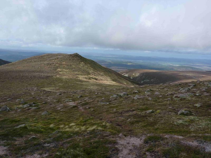
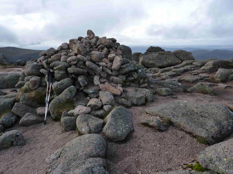
(4) Retrace to the bealach from where a good path leads up on to the crest of Bynack More. The highest point is at the southern end where there is a large cairn marking the summit of Bynack More, 1090 m.
(5) Descend N down a well defined ridge where there is a choice of paths to reach a much flatter area. Continue on the path and after about 1 km converge with the Lairig an Laoigh outward path and follow it back to the start.
Notes
(a) This walk took place on 1st August, 2009 and 10th October, 2011.
(b) Considerable path improvements to the Lairig an Laoigh path, to where it splits from the Bynack More path, were made during 2011.
Photos - Hover over photo for caption. Click on to enlarge. Click on again to reduce.