Get Lost Mountaineering
You are here: Scotland » 08 Cairngorms and Buchan » Eastern Cairngorms to Lecht Road
Geal Charn, Dorback
Geal Charn from Dorback
Start/Finish
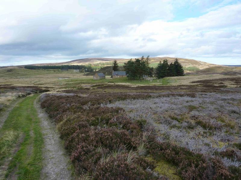
End of the public road just before the entrance to Dorback Lodge grounds where there is very limited parking on the verge. This road leaves the minor road from Nethy Bridge, to the A939 near Corriechullie, about 5 km from Nethy Bridge. The only helpful sign in Nethy Bridge is for the Lazy Duck Hostel which lies off the same minor road well before the Dorback turning. Do not park in the turning area at the end of the road.
Distance/Time
14 km Approx 4 hours
Peaks
Geal Charn, 821 m, NJ 090 127. OS sheet 36.
Introduction
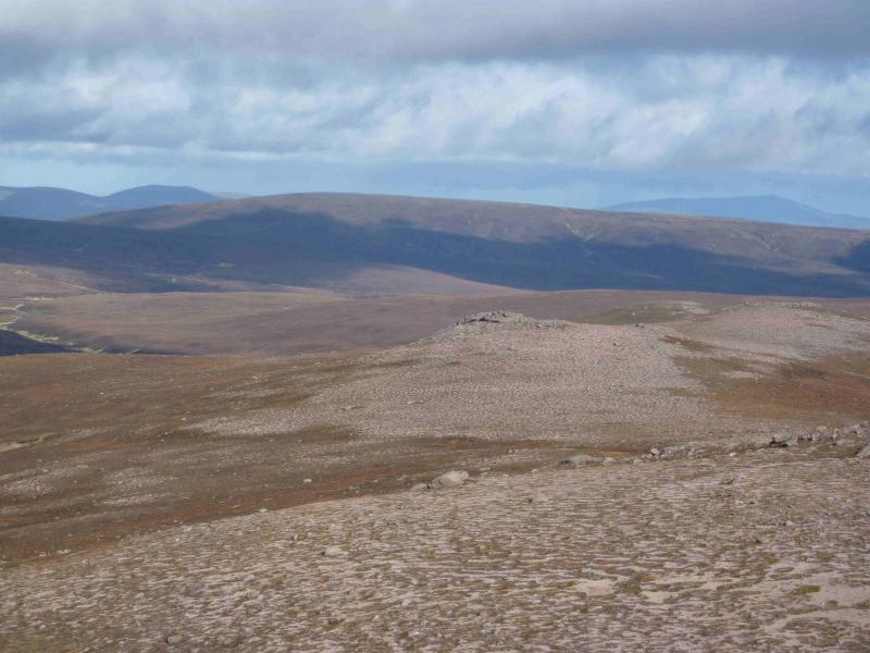
A pleasant half day behind the Cairngorms. The route is not very demanding and the views, on a clear day, include Bynack More, Beinn a' Bhuird and Ben Avon plus many other moorland hills in the area.
Route
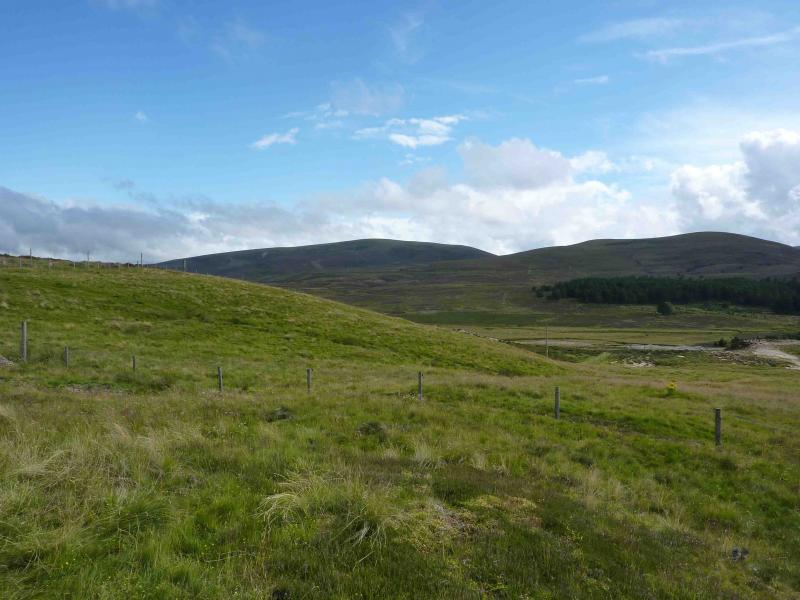
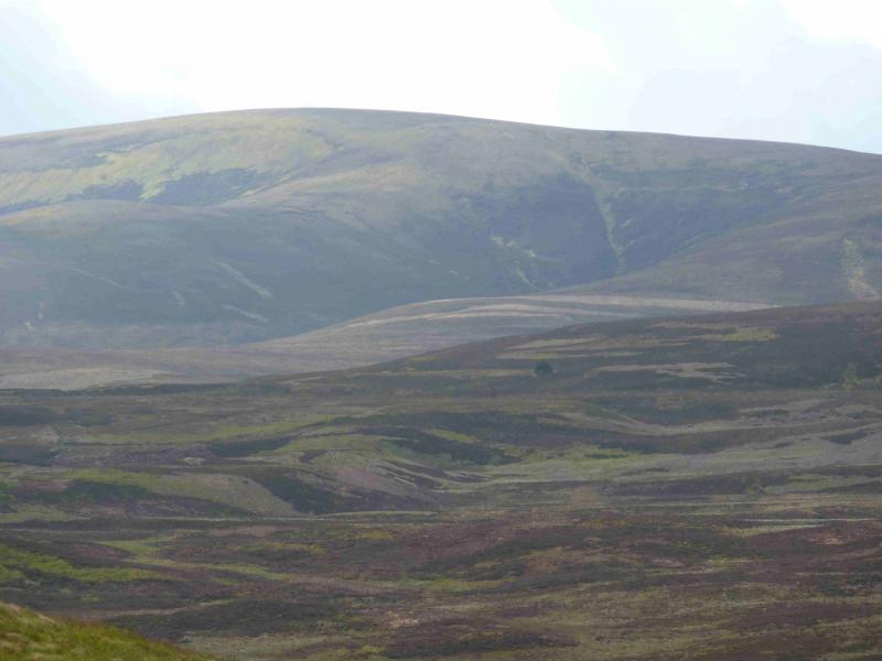
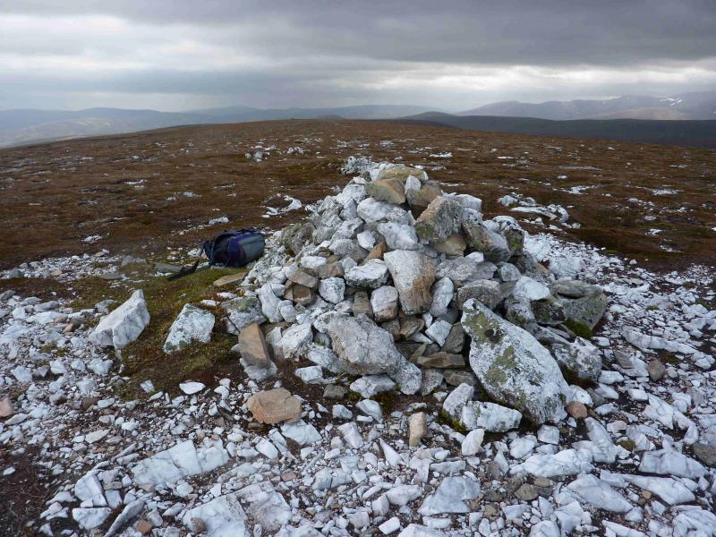
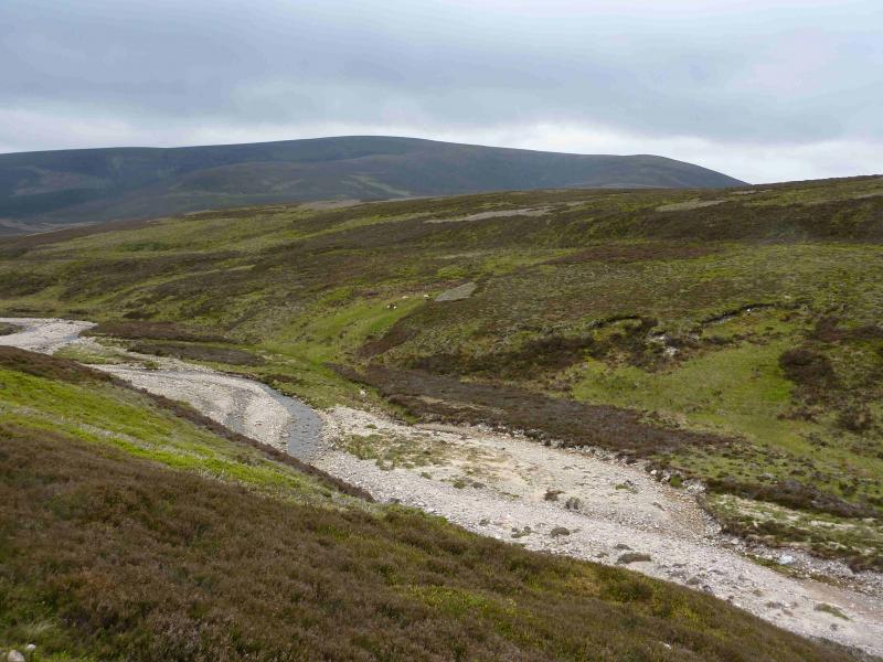
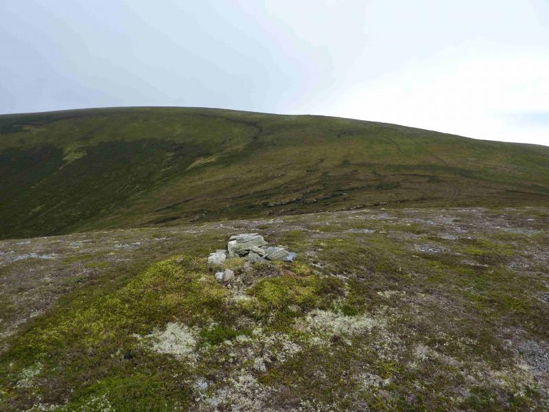
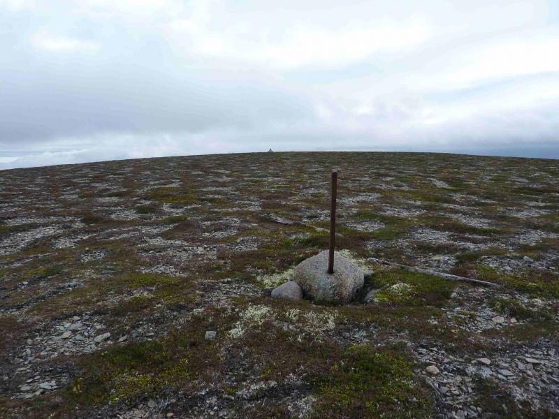
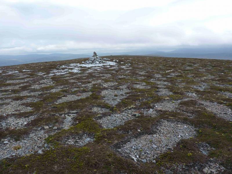
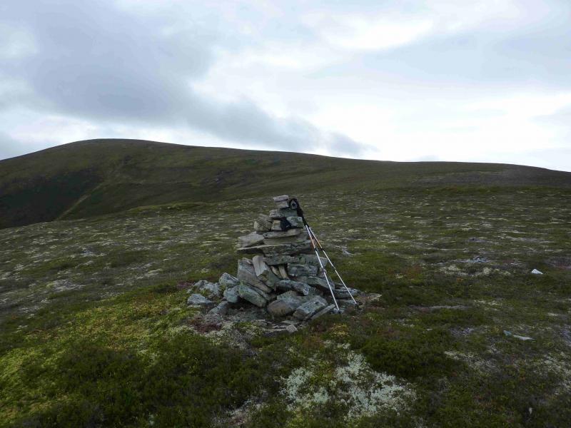
(1) Looking towards Dorback, take the faint track out of the turning area over a grassy mound and down into a sandy area with hundreds of burrows. Go through the gate and cross the Dorback Burn (usually not a problem). Aim for the line of telegraph poles, to the right of which is a faint track which leads to the deserted cottages at Upper Dell. Go between the buildings then left to find a track which initially goes S. Follow this gravel track, ignoring any side tracks or paths, for about 2½ km to its end. Look for a large bare heather patch above and pick a way to it. There are a few faint paths and drifting right might bring one to a good path on a faint crest to the right of the bare patch. This good path goes all the way to the summit, crossing two shoulders, one with a cairn on 14.10.11, and shadowing the edge of the grassy corrie to the NE of the mountain. Once the summit plateau is reached, a line of old fence posts leads to the medium summit cairn of Geal Charn, 821 m. The cairn is just about large enough for one person to shelter behind in a gale.
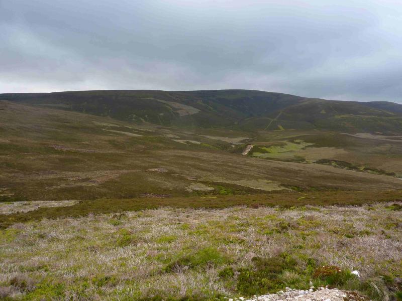
(2) Return by the same route or, alternatively go E then NE down a wide grassy/heathery ridge with the occasional hint of a path. Lower down there is a shallow bealach then a shoulder which, eventually, leads down to the burn with a short ascent to the main track on the other side. The burn is usually easy to cross but, in spate conditions, the route could easily be adjusted to cross higher up. Parts of the burn are quite heavily vegetated so choose the crossing point with some care. This alternative descent is slightly longer, both in time and distance, but gives a genuine circuit. (21.05.11)
Notes
(a) This walk took place on 8th April, 2002, 4thAugust, 2009, and 29th July, 2013.
(b) In spate conditions, the alternative descent route could be used for ascent as well.
(c) A slight variation on the “same route” return is to descend down the NW ridge which gradually curves around to NNE to meet the outward track. There is a path (not that easy to locate) down much of this ridge but the vegetation is easy to walk over. There is an obvious cairn on a high shoulder which may have been seen during the ascent.
Photos - Hover over photo for caption. Click on to enlarge. Click on again to reduce.