Get Lost Mountaineering
You are here: Scotland » 08 Cairngorms and Buchan » North East of Lecht Road
Hills of Cromdale: Carn a' Ghille Chearr & Creagan a' Chaise
Hills of Cromdale: Carn a' Ghille Chearr & Creagan a' Chaise
from Balnaraich in Strath Avon
Start/Finish
From Grantown-on-Spey follow the A95 for Keith. About a mile after crossing the River Spey, turn right on to the A939 road for Tomintoul. This is a high road and can be treacherous in winter conditions especially near the Bridge of Brown where a steep descent is followed by a steep climb. About 2 miles before Tomintoul, turn left at the Bridge of Avon and follow the B9136. About a mile after the distillery, turn left and cross the River Avon and drive back to Balnaraich where there is limited parking at about NJ 144 255. It is also possible to park on the grassy verge in places.
Distance/Time
19 km Approx 7 hours (add at least 1 hour under snow)
Peaks
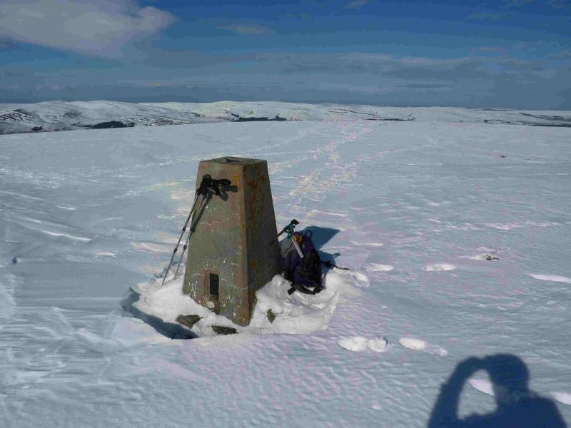
Carn a' Ghille Chearr, 710 m, NJ 139 298.
Creagan a' Chaise, 722 m, NJ 104 242. OS sheet 36.
Introduction
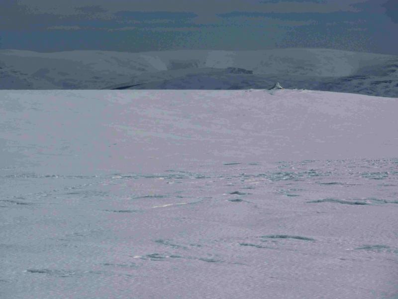
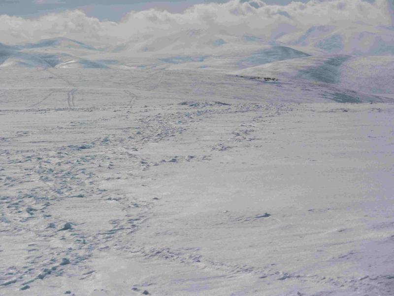
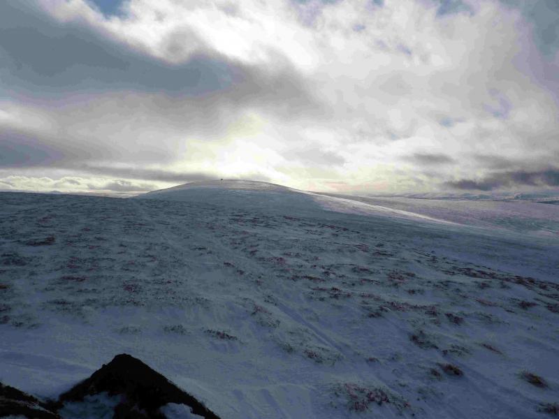
In normal conditions, this is an easy, although strenuous walk over two Grahams. The distance between the tops is about 8 km over rough ground which is often peaty and boggy. The ridge walk is often easier, and certainly more pleasant, under winter conditions providing the snow is crisp enough to hold one's weight. There are more tracks on the hill than are shown on the map but these are soon obliterated by snow. In winter, snow cat tracks can appear which can aid the walking and navigation. In clear weather, there are good views of the Cairngorms to the S. A route for Creagan a' Chaise only is listed separately.
Route
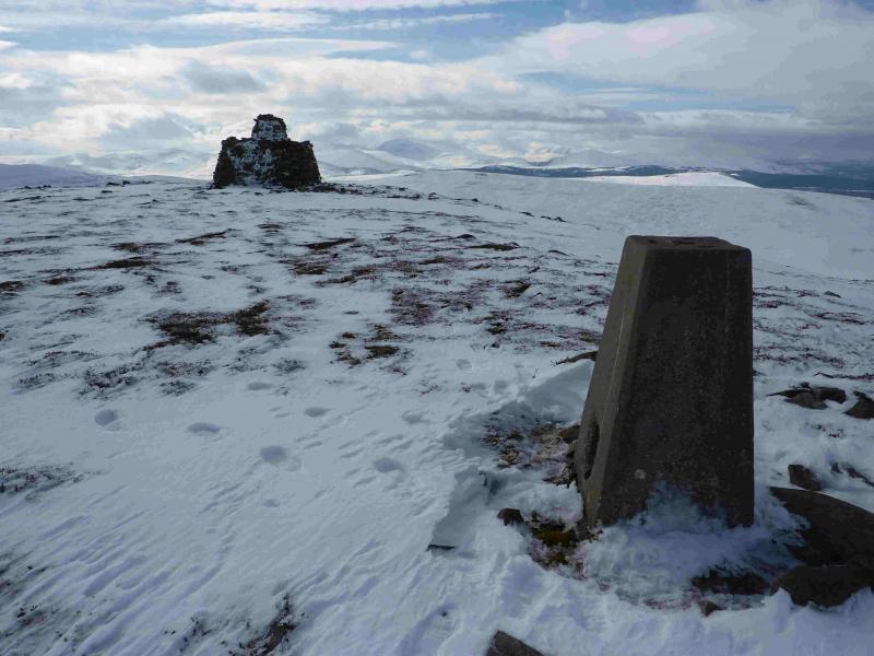
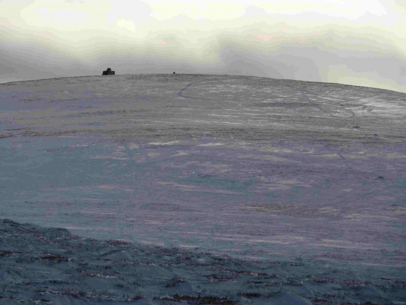
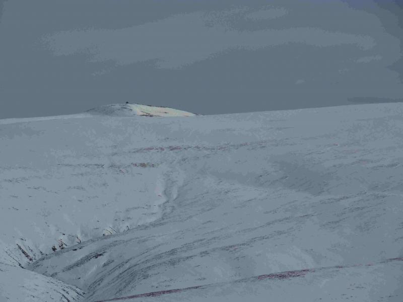
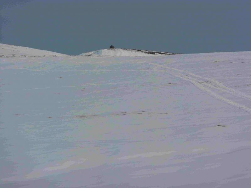
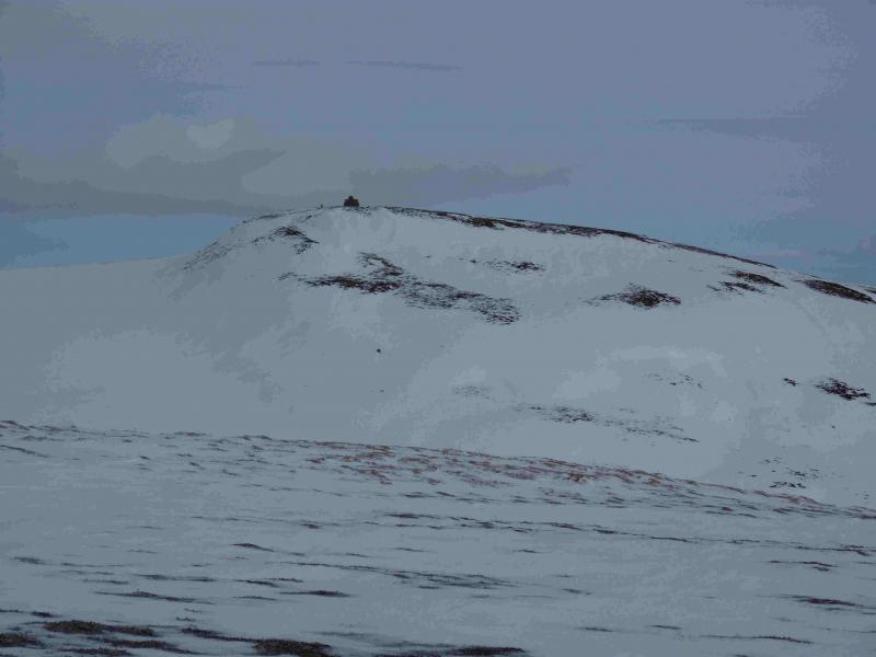
(1) Walk NE up the road for about 500 m to Balnalon then turn left up the track to Kinardochy. The track passes to the left of the house and shadows Ballnellan Burn before swinging NNE then NW towards the main ridge between the two Grahams. Follow the ridge, roughly N, over Carn Eachie then, after a shallow dip, to the trig point of Carn a' Ghille Chearr, 710 m. There is a cairn about 250 m to the E, across a very shallow dip, which may be slightly higher or about the same height. It is advisable to visit both summits.
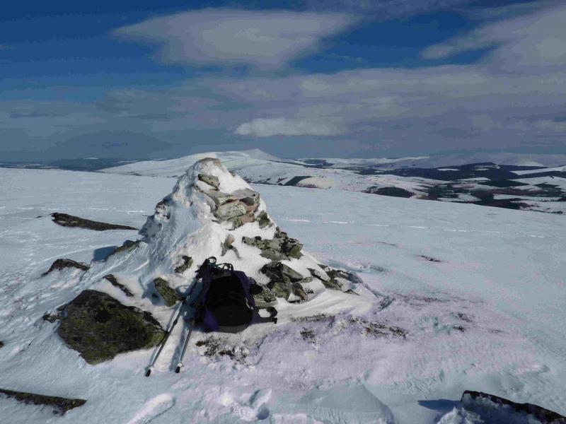
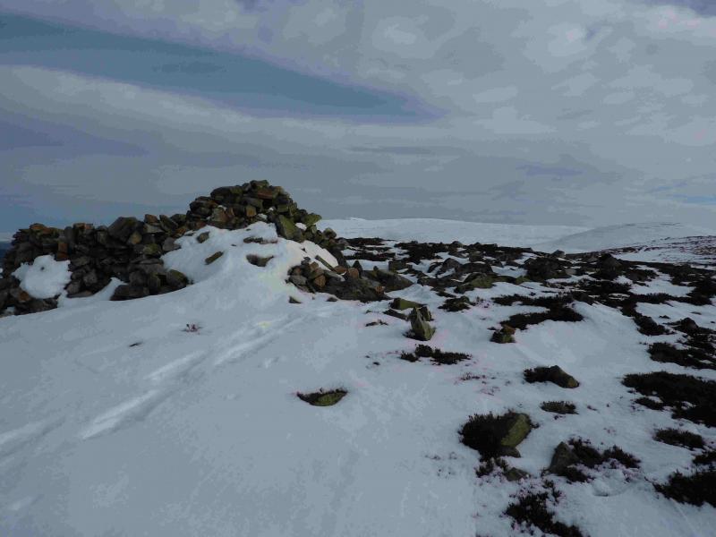
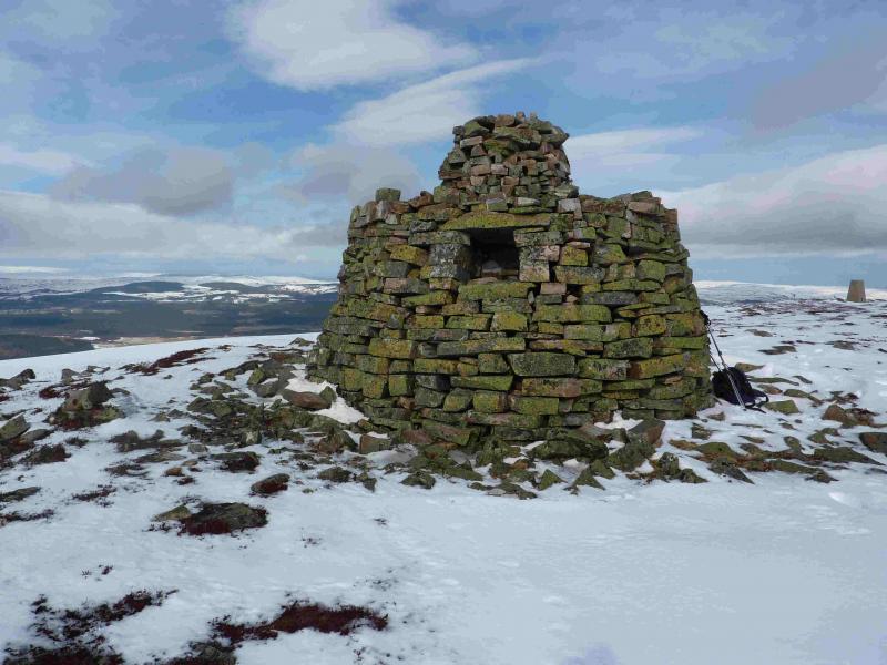
(2) Retrace along the ridge, heading roughly SW, passing a prominent cairn at NJ 107 260 (marked on map). About 800 m short of the summit, the ridge turns S and climbs to the summit trig point of Creagan a' Chaise, 722 m, where there is also a very large cairn built for the golden jubilee of Queen Victoria. This cairn is big enough to shelter behind in the worst of weather.
(3) Head ENE across almost level ground to Point 698 then descend roughly E down an easy ill-defined ridge towards Milton. Lower down a track should be seen to the right (not on 1986 map). Aim for this track and follow it across the Milton Burn down to the road about 800 m from the start. Descending to the Milton Burn is not recommended as the ground is quite rough.
Notes
(a) This walk took place on 18th March, 2011 with deep snow on the ground.
Photos - Hover over photo for caption. Click on to enlarge. Click on again to reduce.
 and Carn Eachie from Creagan a' Chaise.jpg)