Get Lost Mountaineering
You are here: Scotland » 08 Cairngorms and Buchan » North East of Lecht Road
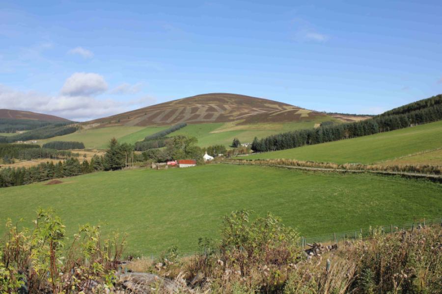
Ladylea Hill
Ladylea Hill from the west side of the Glen Buchat loop road from Bellabeg
Start/Finish
An old “quarry” car park at about NJ 335 177 on the minor road about 5 km from the bridge at Bellabeg which is on the main A944 road through Strathdon. If clear, you will see Ladylea Hill on the E side of the glen as you drive up it. You drive past Ladylea Hill to park. When the road leaves the forest with bare hillside on the left, look for a small lochan about 40 m long (not on map) on the right. The old quarry is just past here. If you miss it, there is a ruin about 300 m further.
Distance/Time
6 km About 1 – 2 hours
Peaks
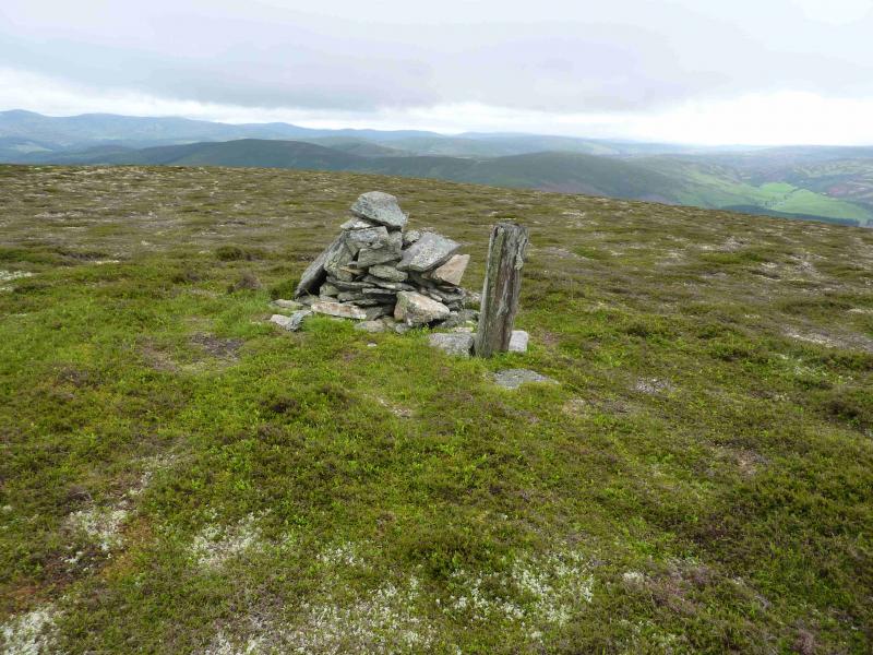
Ladylea Hill, 609 m, NJ 343 168. OS sheet 37. Height revised down from 610 m.
Introduction
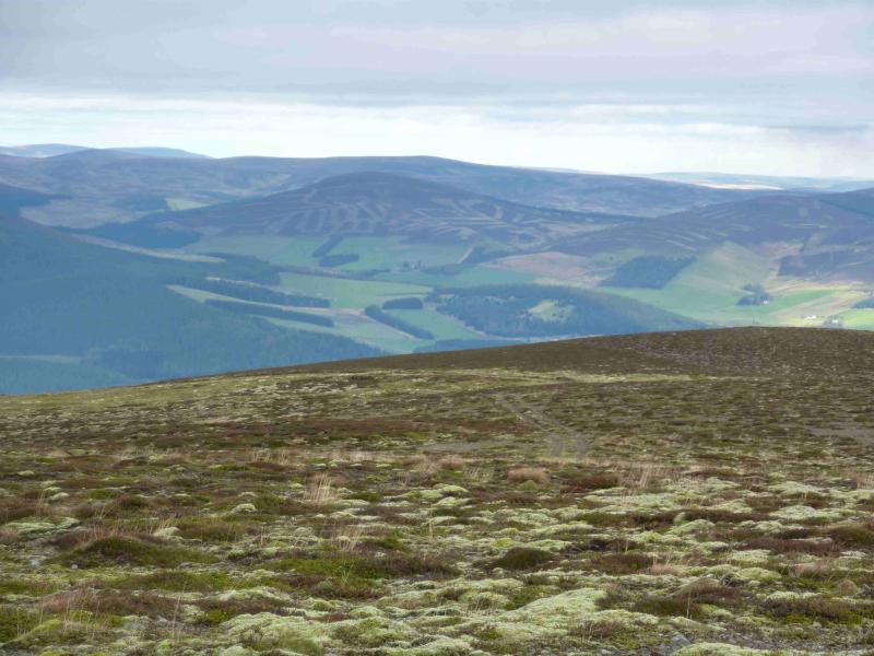
Recently promoted to Graham status, this hill is easily and quickly ascended apart from about 50 m of rough ground. The views are of similar moorland hills in all directions but on a crystal clear day, good views of Ben Avon and the Lochnagar range can be had. An ideal walk if you have had too much dinner! Note that the eastern edge of the wood to the west of Ladylea Hill has a high, difficult to climb over, deer fence which is best avoided. Unfortunately, following a further survey in 2016, Ladylea Hill was found to be just under Graham height so has now been demoted again!
Route
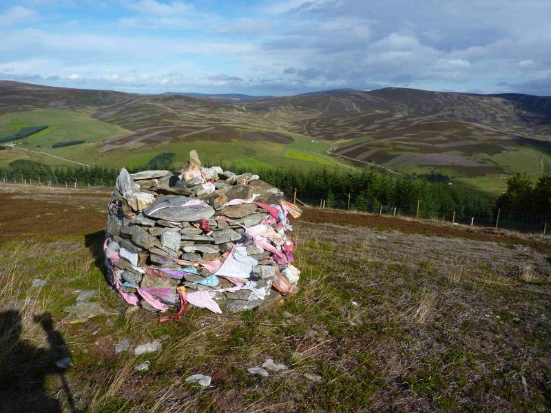
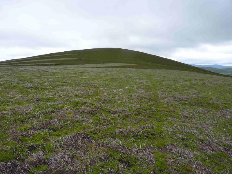
(1) Walk up the obvious track, not on the 1996 OS map 37, from the quarry to the first bend where the track doubles back and climbs gently. After a long straight, it levels out with a wide “car park” on the right. A lesser track goes off to the right here. It can be a little muddy in places. This track leads to the edge of the forest where it passes through a gate and continues initially towards the summit before drifting on to the east flank. Stay on the track until it reaches its highest point then drift right, about SW, to reach a wooden post just before the summit cairn of Ladylea Hill, 610 m. If in doubt, gain the crest which goes almost due S to the summit. It takes little more than half an hour to reach the top.
(2) The quickest return is by the route of ascent but a pleasant circuit can be had by descending S, on a faint path, from the summit. Gradually drift towards the SW to join a track coming from the N which goes around the SE corner of the plantation to join the road at Torrancroy. It is an easy walk of about 2 km back to the start.
Notes
(a) The above walk took place on 11th July, 2012.
Photos - Hover over photo for caption. Click on to enlarge. Click on again to reduce.