Get Lost Mountaineering
You are here: Scotland » 08 Cairngorms and Buchan » North East of Lecht Road
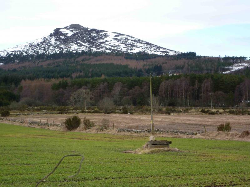
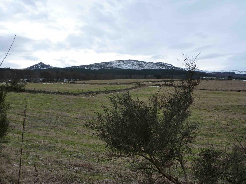
Mither Tap, Bennachie
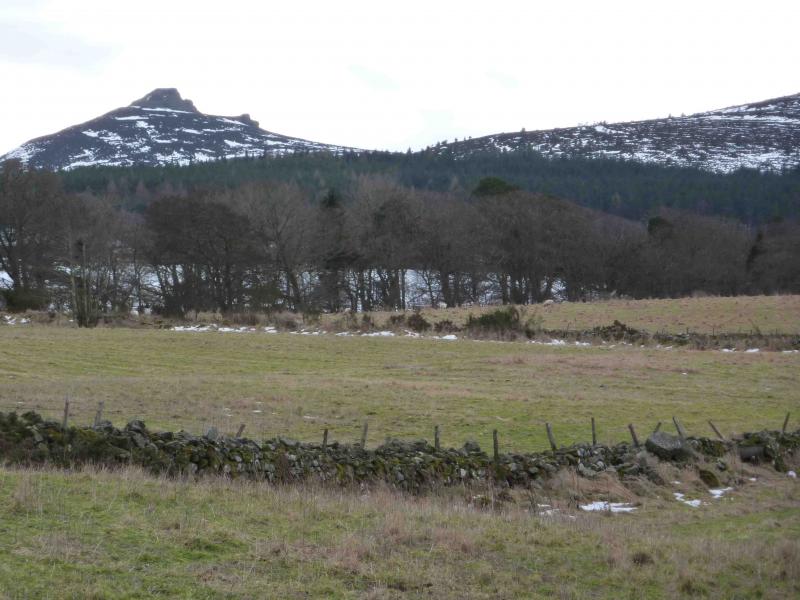
Mither Tap, Bennachie from the visitor centre near Tullos
Start/Finish
Bennachie visitor centre at about NJ 698 216. From Huntly, drive about 15 miles towards Aberdeen on the A96. Reach the Oyne Fork (signposted). From here it is signposted all the way to the visitor centre, about another 3 miles. Bennachie comes into view on the main road from Huntly but Mither Tap is largely hidden until the Oyne Fork.
Distance/Time
4 km. Approx 2 hours.
Peaks
Mither Tap, 518 m, NJ 682 224. OS Sheet 38.
Introduction
An easy ascent, waymarked all the way, to a summit very similar to that which could be found on Dartmoor as it is a classic granite tor. Winter is a good time to climb this hill but some of the upper paths may be hidden by deep snow. However, there are no real difficulties. The actual summit is Oxen Craig, 10 m higher and 2 km to the W. It could easily be combined with Mither Tap. The visitor centre is open all year, 10 am to 4 pm in winter, and has a very good exhibition. There is no catering but a few picnic tables are outside.
Route
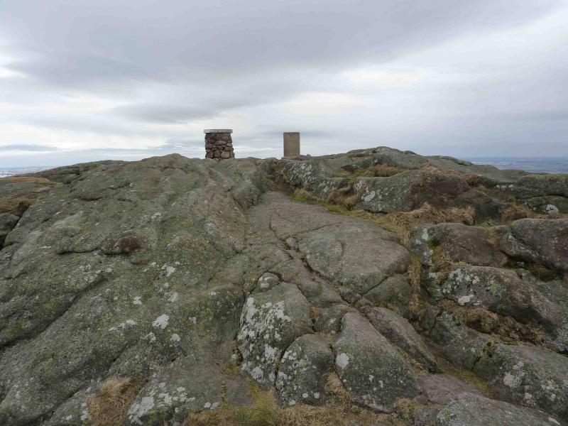
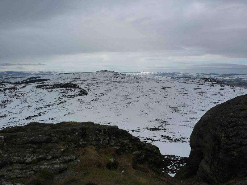
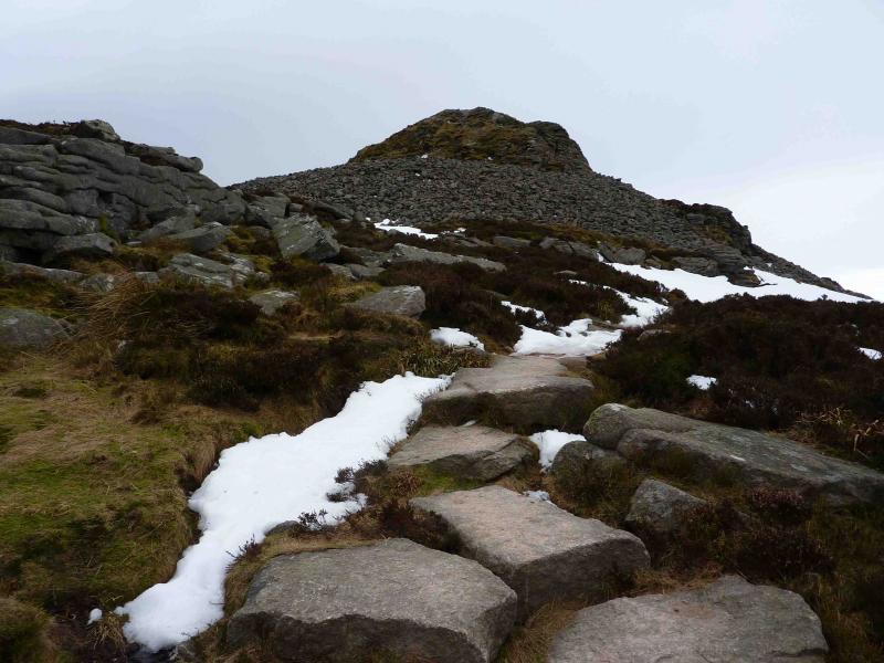
(1) From the visitor centre, follow the waymarked path. The first part of the ascent is on gentle slopes through woodland but then becomes steeper nearer to the summit but on an engineered path. The summit of Mither Tap, 518 m, is on an easily climbed granite tor – no scrambling required! – where there is also a trig point and direction viewpoint giving the distances of surrounding hills.
(2) Return by the same route unless a second car can be left at one of the other three car parks.
Notes
(a) This walk took place on 11th March, 2010.
Photos - Hover over photo for caption. Click on to enlarge. Click on again to reduce.